


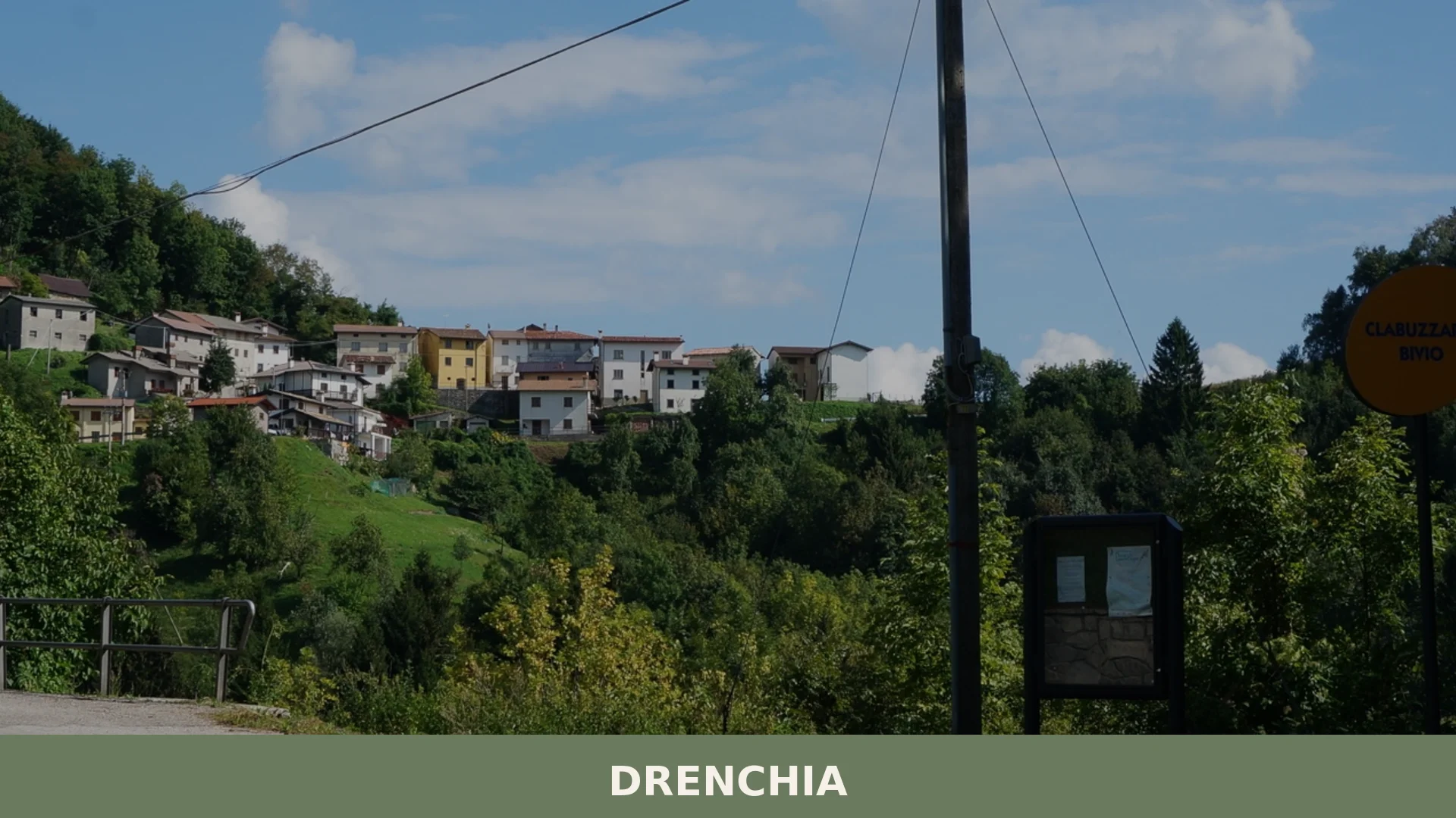

Drenchia is a small mountain commune of 89 inhabitants in the province of Udine, perched at 696 metres on the slopes of the Colovrat ridge at the eastern edge of Friuli-Venezia Giulia.
Discover Drenchia
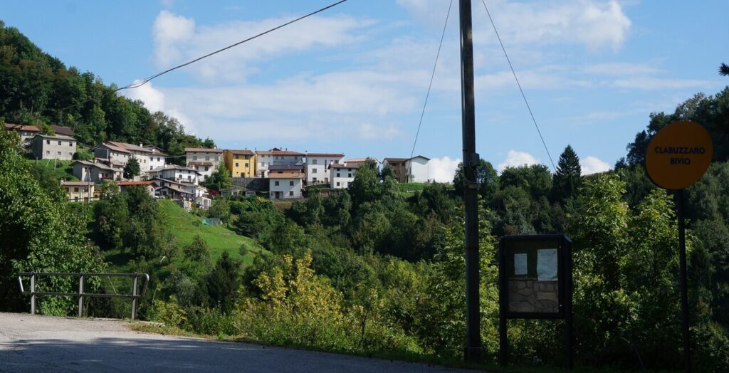
Drenchia is a mountain commune of 89 inhabitants in the province of Udine, Friuli-Venezia Giulia, sitting at 663 metres above sea level across a surface of about 13.36 square kilometres along the valley of the torrente Cosizza, at the far eastern edge of the province where Italy meets Slovenia. Its scattered settlements cling to the southern slopes of the Colovrat ridge, ranging from the lowest borgata of Peternel at 663 metres on the riverbank to the highest fraction of Crai at 663 metres, with the ridge itself reaching 663 metres and marking the border with Slovenia. From those heights, on clear days, the view extends across the Valli del Natisone all the way to Udine, Grado, Monfalcone and the northern Istrian coast.
A Slovenian-speaking enclave protected by Italian law, with bilingual place names under Law 38/2001, stone-and-timber rural buildings that have stood since the fifteenth century, a small ethnographic museum in a former village schoolhouse, trench systems and wartime fortifications from the First World War, and a calendar of local festivals tied to mountain memory — Drenchia village in Friuli-Venezia Giulia offers visitors an unhurried encounter with a corner of the Italian northeast that has preserved its linguistic and material culture with rare continuity.
Drenchia village in Friuli-Venezia Giulia: history and identity
Drenchia’s recorded past stretches from early medieval Slavic settlement in the seventh century through Longobard conflict, Patriarchal rule, Venetian governance, a succession of foreign administrations and the violence of the First World War, leaving the village today as one of the most distinctively Slovenian-speaking corners of the Italian northeast. Around the seventh century, Slavic peoples entered Italy in the wake of the Avars and colonised the Valli del Natisone, engaging in armed conflict with the Longobards who had occupied much of the peninsula after 568. A treaty eventually fixed boundaries between the two communities, assigning the hilly terrain to the Slavic settlers.
From the era of the Patriarchate of Aquileia until the fall of the Republic of Venice, the lands of the commune belonged — with the contrada of Drenchia — to the Banca di Merso, an organisation that managed local administration and justice across the Slavia veneta with considerable autonomy, a privilege granted in recognition of the role local militias played in defending the northeastern borders of Friuli. That autonomy ended with the Napoleonic campaigns: the Treaty of Campoformio of 1797 assigned the Benečija to Austria; a brief interval under the Napoleonic Kingdom of Italy followed the Peace of Pressburg; then the Convention of Schiarino Rizzino of 1815 returned the territory to Austria as part of the Kingdom of Lombardy-Venetia. Only in 1866, after the Third War of Independence, the Peace of Vienna and the Venetian plebiscite, did Drenchia pass to the Kingdom of Savoy’s Italy.
Churches, museums and traces of war along the Colovrat
Drenchia offers visitors a church, a small ethnographic museum, a network of restored First World War fortifications, two attributed outdoor frescoes, and a working mill that survived into the mid-twentieth century — all distributed across a cluster of hamlets between 306 and 663 metres above sea level.
Church of Santa Maria Assunta, Cras
The parish church stands in Cras, the municipal seat. Built in the eighteenth century, it preserves a wooden statue of the Madonna with Child that dates to the early sixteenth century.
Church of San Volfango
The church of San Volfango stands near the hamlet of the same name. A village festival is held here on the third Sunday of July.
Frescoes attributed to Jacob Malar
Two outdoor sacred frescoes on the facades of local buildings are attributed to the Friulian painter Jacob Malar, also known as Jacum Pitor. L’attribuzione a Jacob Malar (Jacum Pitor), attivo nel XVI secolo, è anacronistica per un affresco datato intorno al 1915. C’è una palese incongruenza cronologica tra l’artista e la data dell’opera. Il fresco a Obenetto raffigura una Sacra Famiglia con i Santi Martino, Quirino e Floriano. The fresco at Peternel, also a Holy Family, is thought to belong to the early years of the twentieth century.
Casa Rurale del Territorio, Trinco
In the former primary school of the hamlet of Trinco, this small museum displays domestic objects, agricultural tools and First World War memorabilia relating to the Natisone valleys from the late nineteenth century to roughly the middle of the twentieth. The collection has an anthropological and ethnographic character and documents a linguistic and cultural community that remained distinct within Friuli-Venezia Giulia.
Museum of trenches at Na Gradu Klabuk
On the Colovrat ridge, a cross-border outdoor heritage project has restored trenches, galleries, fortifications and bunkers from the First World War. The site bears direct witness to the events of 24 October 1917, when the territory was subjected to heavy bombardment at the start of la battaglia di Caporetto, and to the subsequent action in which Lieutenant Erwin Rommel seized the Colovrat heights before advancing toward the Friulian plain.
Mulino di Peternel
Built around the middle of the eighteenth century in the valley-floor hamlet of Peternel, on the banks of the Cosizza torrent, the mill remained in operation until roughly the mid-twentieth century.
Passo Solarie and the monuments nearby
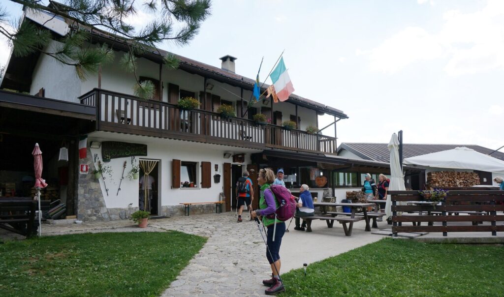
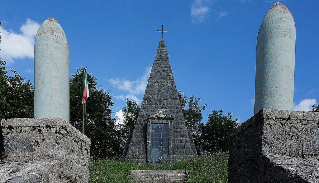
The Solarie pass connects the Val Cosizza with the Isonzo valley in Slovenia. Close to the pass stands the monument to Riccardo Giusto, commemorated as the first Italian soldier killed in the First World War. Nearby is the Bivacco Zanuso, named after the Alpine soldier Giuseppe Zanuso who died in the area in 1929 during a severe snowstorm, and the Rifugio di Casoni Solarie with its adjoining multi-purpose sports field.
Food and drink from Drenchia and the surrounding Friulian hills
Drenchia and its corner of the Udine province sit within one of Italy’s most decorated food and wine regions, where certified products such as Montasio DOP cheese, Prosciutto di San Daniele DOP and Brovada DOP — the tangy, turnip-based speciality unique to Friuli — define the broader table. Alongside these, the area produces Prosciutto di Sauris IGP and Salamini italiani alla cacciatora DOP, both well represented across the province.
Traditional preparations tied to the mountain territory include distillates of pear and syrups made from elderflower, wild berries, sea buckthorn and dandelion, all documented among the regional patrimonial foods of Friuli-Venezia Giulia. Apple juice and Most, a regional grape-must product, round out this artisan pantry.
The vineyards of Friuli Colli Orientali DOC and the Rosazzo DOCG zone lie to the west, producing the white and red wines most closely associated with the eastern Udine hills. Collio Goriziano DOC extends along the nearby border area, and Friuli Isonzo DOC covers the valley floors further south — all within the broader wine country that surrounds Drenchia’s rugged mountain setting.
Planning your visit and getting there
Drenchia can be reached easily from the lower Val Pellice and the Turin area. The practical distances and journey times below are kept concise on purpose, so the access information stays clear and consistent.
| Departure | Distance | Time |
|---|---|---|
| Udine | approx. 50 km | approx. 1 hour |
| Cividale del Friuli | approx. 30 km | approx. 40 min |
| Tolmino (Slovenia) | approx. 20 km | approx. 30 min |
These practical reference points are enough to plan the journey without overloading the text with unstable logistics. Once on site, the village is best understood slowly, on foot and in relation to the surrounding landscape.
Frequently asked questions about Drenchia
What is the best time to visit Drenchia?
August is ideal, particularly around the 15th, when the Feast of the Assumption (Maria SS. Assunta) brings traditional celebrations to the village. Summer offers mild mountain weather and clear skies that reveal panoramic views across the Valli del Natisone toward Udine, Grado, and the Istrian coast. Spring and early autumn provide pleasant conditions for hiking the Colovrat ridge and exploring the surrounding valleys without summer crowds.
How do I reach Drenchia from Udine?
Drenchia lies in the easternmost part of Udine province, near the Slovenian border in the Natisone valleys. By car, head toward the Valli del Natisone and follow local road signs. The nearest major town is Cividale del Friuli. Public transport options are limited; a private vehicle is recommended. Check with local Friuli-Venezia Giulia tourism offices for current bus schedules serving mountain communes in this remote area.
What outdoor activities are available in Drenchia?
The Colovrat ridge offers hiking with elevation ranges from Peternel (306 m) to Crai (863 m) and the ridge crest (1,243 m). Walking trails connect the scattered borgatas across southern slopes. The area includes documented First World War trench systems and wartime fortifications accessible to visitors. The surrounding Valli del Natisone provide additional cycling and trekking routes through protected Slovenian-speaking cultural landscapes.
Is there a museum or cultural site to visit?
Drenchia has a small ethnographic museum housed in a former village schoolhouse, documenting local Slovenian-speaking mountain culture and heritage. The village also preserves stone-and-timber rural buildings dating to the fifteenth century. First World War trench systems and fortifications from the ridge are accessible to history enthusiasts. Contact local tourism information for current opening hours and guided tour availability.
What language is spoken in Drenchia?
Drenchia is a Slovenian-speaking enclave protected by Italian Law 38/2001, which mandates bilingual place names and cultural preservation. While Slovenian is the traditional community language, Italian is also widely understood. Visitors with some knowledge of either language will find communication easier, though English speakers should arrange accommodation and guides in advance through regional tourism services.
📷 Photo Gallery — Drenchia
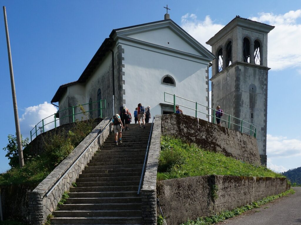
In Friuli-Venezia Giulia More villages to discover
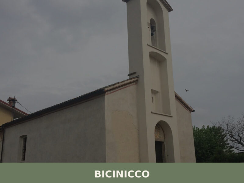
Bicinicco
 Plains
A commune of 1,801 inhabitants on the Friulian plain south of Udine. Discover the churches, hamlets, and agricultural landscape of Bicinicco.
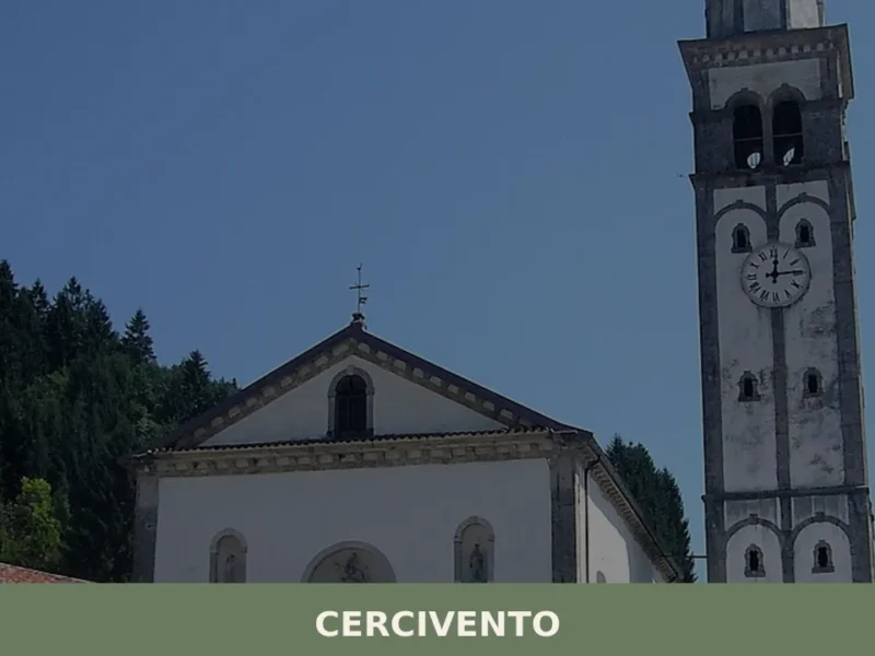
Cercivento
 Mountain
Discover what to see in Cercivento: a 635-soul village in the Carnic Alps of Friuli Venezia Giulia, with historic churches, mosaics, and alpine trails.
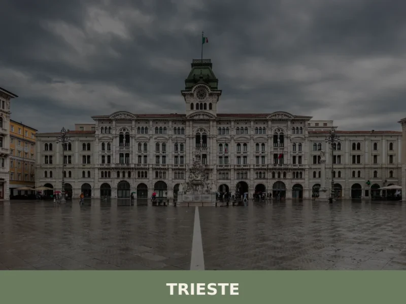
Trieste
 Sea
Sea
What to see in Trieste, a city with over 200,000 inhabitants? Discover 5 main attractions and savor local cuisine like Jota and Presnitz. Explore its unique history.
Aiello del Friuli
Plains
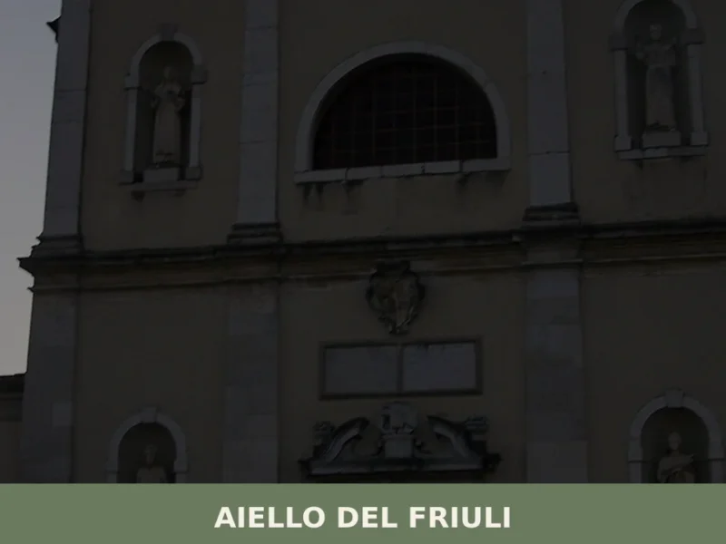
On the Friulian plain, at 18 metres above sea level, a village of just over two thousand inhabitants holds the highest concentration of sundials per square metre in Italy: more than one hundred solar quadrants scattered across house facades, courtyard walls, and church exteriors. This is not an outdoor exhibition designed for tourists — it […]
Dignano
Plains
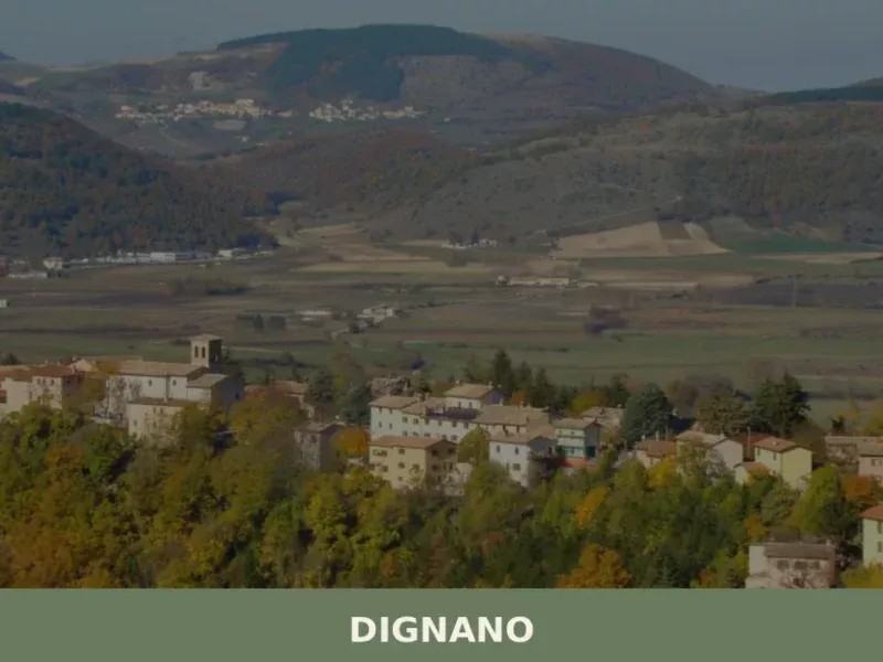
In the cadastral register of 1296, the name Dignano appears among the possessions of the Patriarchate of Aquileia, a rural community closely tied to ecclesiastical control and cereal production on the Friulian plain. Today the municipality has approximately 2,380 inhabitants spread across the main centre and several hamlets, in a flat territory northwest of Udine […]
Gorizia
Plains
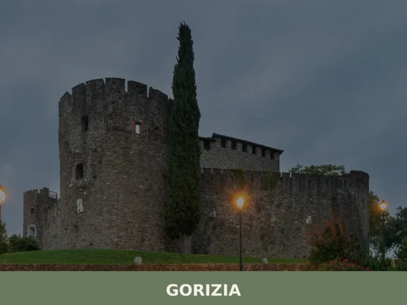
What to see in Gorizia, located at 84m. Discover 5 historic attractions, including its iconic Castle, and savor typical local cuisine. Explore your trip!
Camino al Tagliamento
Plains
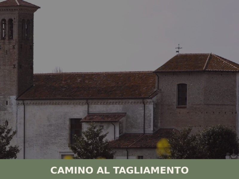
A guide to Camino al Tagliamento in Friuli Venezia Giulia — its medieval parish church, the Tagliamento riverbed, rural hamlets, and Friulian food traditions.
Cassacco
Plains
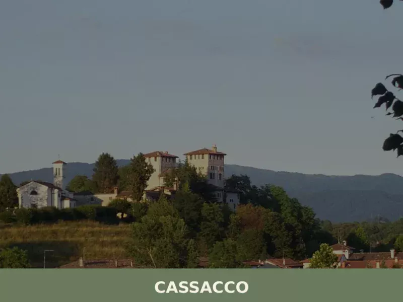
The Castle of Cassacco appears in documents of the Patriarchate of Aquileia as early as 1158, when Patriarch Ulrich II confirmed its possession to the local lords. Since then, that manor in a commanding position over the Friulian plain has shaped the life of an entire rural territory, defined by cultivated fields, rows of vines […]
Grado
Sea
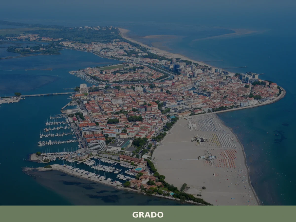
What to see in Grado, Italy? Explore its 2 m altitude, discover over 7,658 residents, and visit the impressive Basilica di Sant'Eufemia. Discover Italy's unique offerings today.
Castions di Strada
Plains
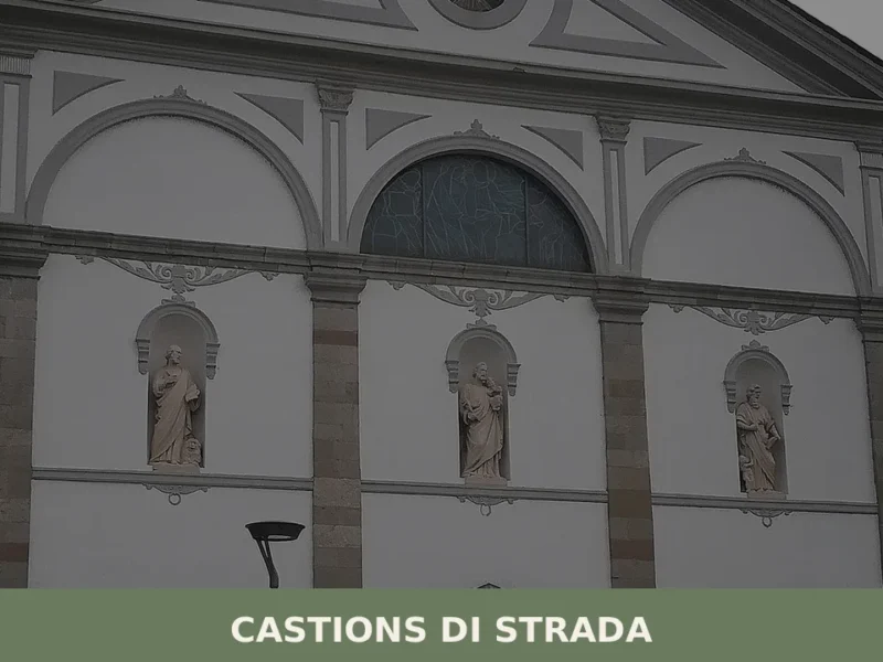
A straight road cuts across the Friulian plain at twenty-three metres above sea level, and along that route — the ancient road that connected Aquileia to Concordia Sagittaria — a settlement grew whose very name declares its reason for being. Castions di Strada owes its identity to that Roman road, to a network of drainage […]
🧀 Italian traditional products

🏡 Know Drenchia better than we do?
If you’re a local or have been there, your knowledge matters: add what’s missing or fix a detail on this page.