


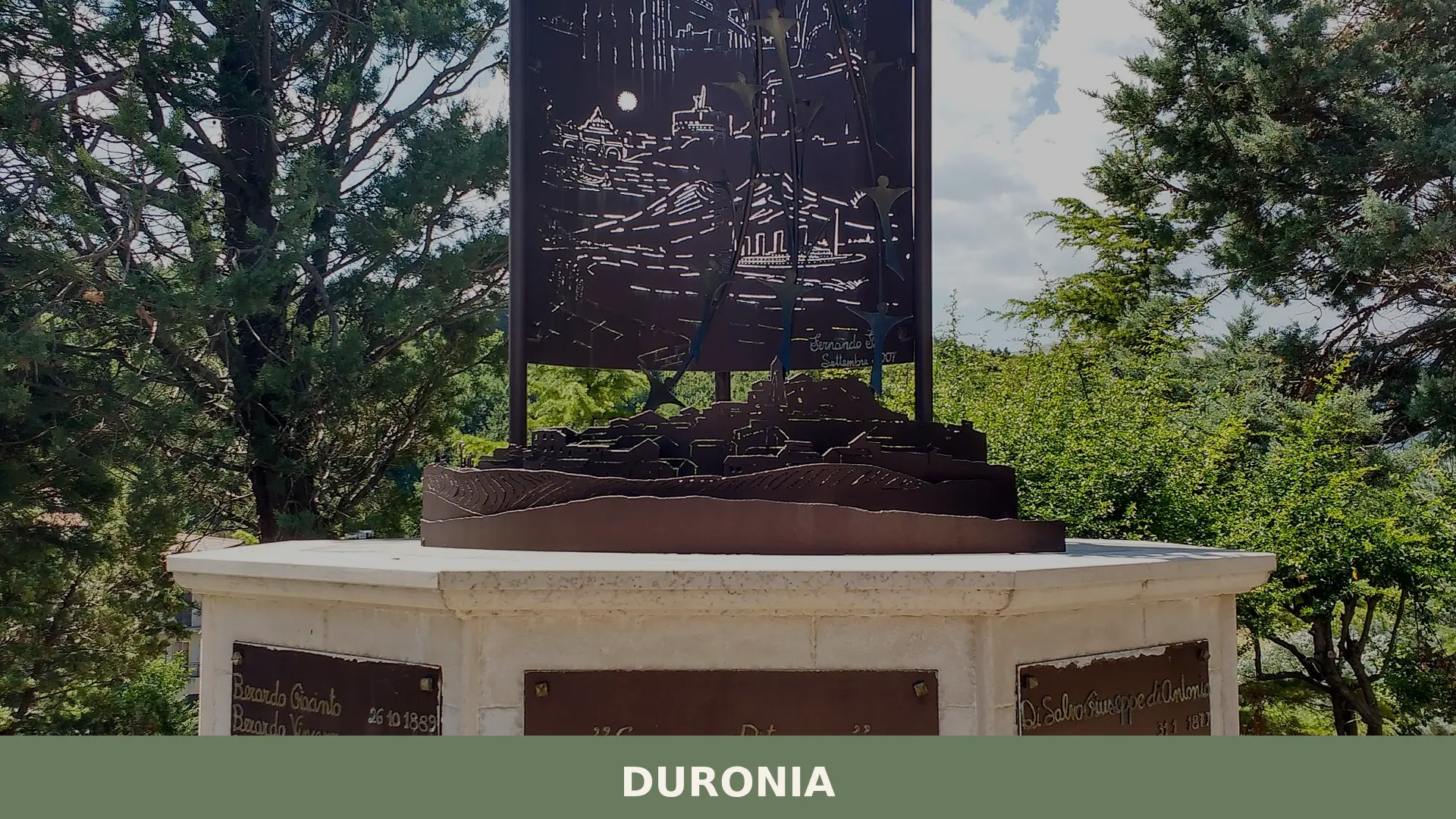

390 residents, 864 metres altitude, and a natural rock formation declared a regional monument — Duronia offers Samnite ruins, medieval stone and an ancient drovers’ route.
Duronia: A Mountain Village Built on Samnite Memory
At nearly a thousand metres above sea level, the rock spur known as Civita di Duronia breaks the Molise skyline with the blunt authority of a natural fortress. Stone walls rise from stone ground; the medieval nucleus clings to the highest crests, and the remnants of Samnite fortifications fold into the cliff face below as though the mountain itself decided to double as a boundary marker. From the top, on a clear day, you can pick out two dozen or more surrounding municipalities without any optical aid.
Duronia village in Molise sits at 918 metres above sea level on the ancient drover’s road between Lucera and Castel di Sangro, and two things strike visitors immediately: the severity of the landscape and the depth of the historical record. The rock formation called Il Gigante, declared a natural monument by regional decree, and the layered archaeology of a Samnite settlement make this a place where geology and human history are genuinely difficult to separate.
From Civitavecchia to Duronia: A Long Chain of Names and Lords
For most of its documented medieval life, the settlement answered to the name Civitavecchia — rendered in Latin administrative documents of the fourteenth century as Civitatis vetule and in the following century as Civitavetula. The oldest written record that anchors the village to a specific historical transaction dates to 1270, when Carlo I d’Angiò assigned half of the Civitavecchia fief to Raimondo Cantelmo, son of the lord of Roccavivara. That document does not exclude a Lombard-era settlement; the very existence of a neighbouring locality called Civitanova — clearly named in opposition to an already existing “old town” — suggests the community had roots well before the Angevin grant.
Through the late thirteenth and early fourteenth centuries the fief changed hands more than once. Gentile della Posta held it after 1276, followed by his son Bartolomeo. Around the turn of the fourteenth century, Isabella Filangerio — member of a noble family of Norman origin long established in the Kingdom of Naples — held feudal rights over Civitavecchia. In 1307 she assigned half the fief to her daughter Isabella Ianvilla as a dowry on the occasion of her marriage to a member of the Filomarino family, a Sorrentine dynasty that had risen to prominence in Naples by the thirteenth century. From the late fourteenth century until the mid-fifteenth, Civitavecchia fell within the County of Montàgano, passing through several successive lords of that title.
In 1450 the fief was granted to the Piscitelli family by Ferrante I d’Aragona, and subsequently shared with the d’Alagno family for well over a century. In the first half of the seventeenth century it became a possession of the Della Marra lords of Macchia d’Isernia, and finally passed to the D’Alessandro family, barons and later dukes of Pescolanciano, who held it until the feudal system was abolished. The name change came in 1875, when the municipal council — prompted by eighteenth-century archaeological finds of tombs, inscriptions and coins, and by the presence of the local stream called Durone — successfully petitioned to rename the town Duronia, claiming continuity with the Samnite city that the Roman historian Livy records as taken by the consul Lucio Papirio Cursore in 293 BC. Whether that identification is certain remains a scholarly question, but the name has stood ever since.
Rock, Ruins and the Medieval Fabric of the Village
Il Gigante and the Civita Rock Formation
The massive limestone outcrop above the old settlement carries the popular name Il Gigante and forms the core of what is known as the Civita di Duronia. In 2019 the Molise regional government declared it a natural monument by presidential decree. The formation presents four distinct ridges — locally called morconi — that drop sharply into the surrounding valleys, creating natural drops of more than two hundred metres on several sides. These cliffs made the Samnite settlement above them difficult to approach from most directions. Standing on the Civita today, visitors can identify dozens of neighbouring municipalities across the highland plateau.
Samnite Fortifications and Archaeological Remains
Fragmentary but substantial stretches of Samnite defensive walls survive on the northern and eastern flanks of the Civita rock. Tomb finds, stone inscriptions and coins recovered from the surrounding fields since the mid-eighteenth century confirmed the presence of a significant pre-Roman settlement. Archaeological traces extend beyond the main outcrop: Samnite and Roman finds have been recorded at several localities across the municipal territory, including Vicende, Casale and San Basilio, while the remains of a Roman villa were brought to light at Casaglivune. Along the tratturo Lucera–Castel di Sangro — the ancient drove road that crosses the municipal area — further traces of Samnite defensive structures have been identified.
The Medieval Borgo and the Castle
The oldest part of the inhabited centre preserves its medieval character most legibly in the fabric of the streets and buildings. The ruins of a medieval castle are still recognisable within this nucleus, their heavy masonry visible despite later interventions. The church of San Nicola occupies the highest point of the old town, positioned between the rocky crests of the morconi so that it dominates the roofline below. Long closed to worship, the building is probably contemporary with the castle. It was restored in the late nineteenth century and retains a single nave and a statue of the Immaculate Virgin considered to be of fine craftsmanship. In the centre of the village, a stone cross dating to the mid-fifteenth century marks one of the focal points of the medieval layout.
The Tratturo and the Rural Landscape
Duronia stands directly on the tratturo Lucera–Castel di Sangro, one of the great transhumance routes that once moved hundreds of thousands of sheep between the Apulian lowlands and the Abruzzo and Molise highlands each season. The route shaped settlement patterns, property boundaries and local economy for centuries. Scattered across the municipal territory, rural buildings from the late nineteenth and early twentieth centuries document this pastoral economy — some still in use, others abandoned but structurally intact enough to read. The drove road connects Duronia to neighbouring communities such as Pietracupa and Civitanova del Sannio, all of which share Samnite archaeological traces along the same corridor.
“Erano provenienti da Duronia trentasei dei centosettantuno lavoratori italiani scomparsi nel Disastro di Monongah” — thirty-six of the one hundred and seventy-one Italian workers lost in the Monongah mine disaster of 6 December 1907 came from this single village of fewer than four hundred people today.
At the Table in Duronia: Pasta, Dough and Mountain Pantry
Two dishes are documented as locally made in Duronia. Laganelle are fresh egg-pasta ribbons, cut by hand in the tradition common to Molise mountain kitchens. Squattone is a pasta prepared with wine worked into the dough — an ingredient that speaks to a rural economy where grape cultivation and cereal growing overlapped. Both dishes belong to a cucina povera tradition: simple technique, local materials, no elaborate preparation. The broader agricultural area around Duronia falls within production zones for Caciocavallo Silano DOP and for the native red wine grape Tintilia, whose DOC wines are among the most discussed in contemporary Molise viticulture, though these products are regional rather than exclusive to the village. Visitors looking for local cheese and cured meats will find them across the province, with Bojano and Trivento serving as useful bases for wider food exploration in the area.
Planning your visit and getting there
Duronia can be reached using the practical reference points below. Distances and journey times are kept concise so the access information stays clear and consistent.
| Departure | Distance | Time |
|---|---|---|
| Campobasso | approx. 55 km | approx. 1 hour |
| Isernia | approx. 50 km | approx. 1 hour |
| Napoli | approx. 170 km | approx. 2 hours and mandzza |
| Roma | approx. 280 km | approx. 3 hours |
These practical reference points are enough to plan the journey without overloading the text with unstable logistics. Once on site, the village is best understood slowly, on foot and in relation to the surrounding landscape.
Frequently asked questions about Duronia
When is the best time to visit Duronia, and when is the patron saint feast day?
The most atmospheric time to visit Duronia is summer, when mountain temperatures at 918 metres stay pleasantly cool compared to the Italian lowlands. The village celebrates its patron saint, San Rocco, on 16 August, a date shared by most Italian communities honouring him. Local festivities typically include a religious procession, traditional music, and communal meals. Spring and early autumn are also excellent for hiking and landscape photography, with clear visibility across the Molise hills.
How do you reach Duronia by car, and which is the nearest motorway exit?
By car, the most practical approach is via the A14 Adriatic motorway, exiting at Lanciano or Vasto Nord, then following inland provincial roads toward Campobasso through the Molise highlands. Alternatively, from the A1 Rome–Naples motorway, exit at Caianello and continue northeast. The village sits along the historic drovers' road between Lucera and Castel di Sangro. Journey time from Campobasso, the provincial capital, is roughly one hour along winding mountain roads. A high-clearance vehicle is advisable in winter.
Is there public transport connecting Duronia to nearby towns?
Public transport options are limited, as is common for small Molise mountain villages with a population of around 390. SATI and other regional bus operators serve the broader Campobasso province, but direct services to Duronia are infrequent and schedules change seasonally. The nearest functional rail stations are at Campobasso and Isernia, both requiring an onward bus or taxi connection. Visitors without a car are strongly advised to check current timetables directly with regional transport authorities before travelling.
Are there hiking or outdoor routes accessible from Duronia?
The Molise Apennine landscape around Duronia lends itself to trekking, with the village positioned on the ancient Lucera–Castel di Sangro drovers' road, itself a historic transhumance route known as a trattura. Sections of this corridor can be walked or cycled as a cultural itinerary. The natural monument Il Gigante and the Civita di Duronia rock spur offer short but scenic excursions. For mapped CAI routes in the area, it is advisable to consult the local CAI section in Campobasso for updated trail information.
How long should visitors plan to spend in Duronia, and is parking available?
Duronia is a compact medieval village of roughly 390 inhabitants, so the historic nucleus, Samnite archaeology, and natural landmarks can realistically be explored in a half-day visit. Combining it with nearby Molise villages extends the experience to a full day or a weekend itinerary. Parking is generally available on the village perimeter, as is typical for hilltop settlements where traffic access to the historic centre is restricted. Visitors should arrive early during the August feast period, when local attendance is higher than usual.
In Molise More villages to discover
Gambatesa
 Hills
Hills
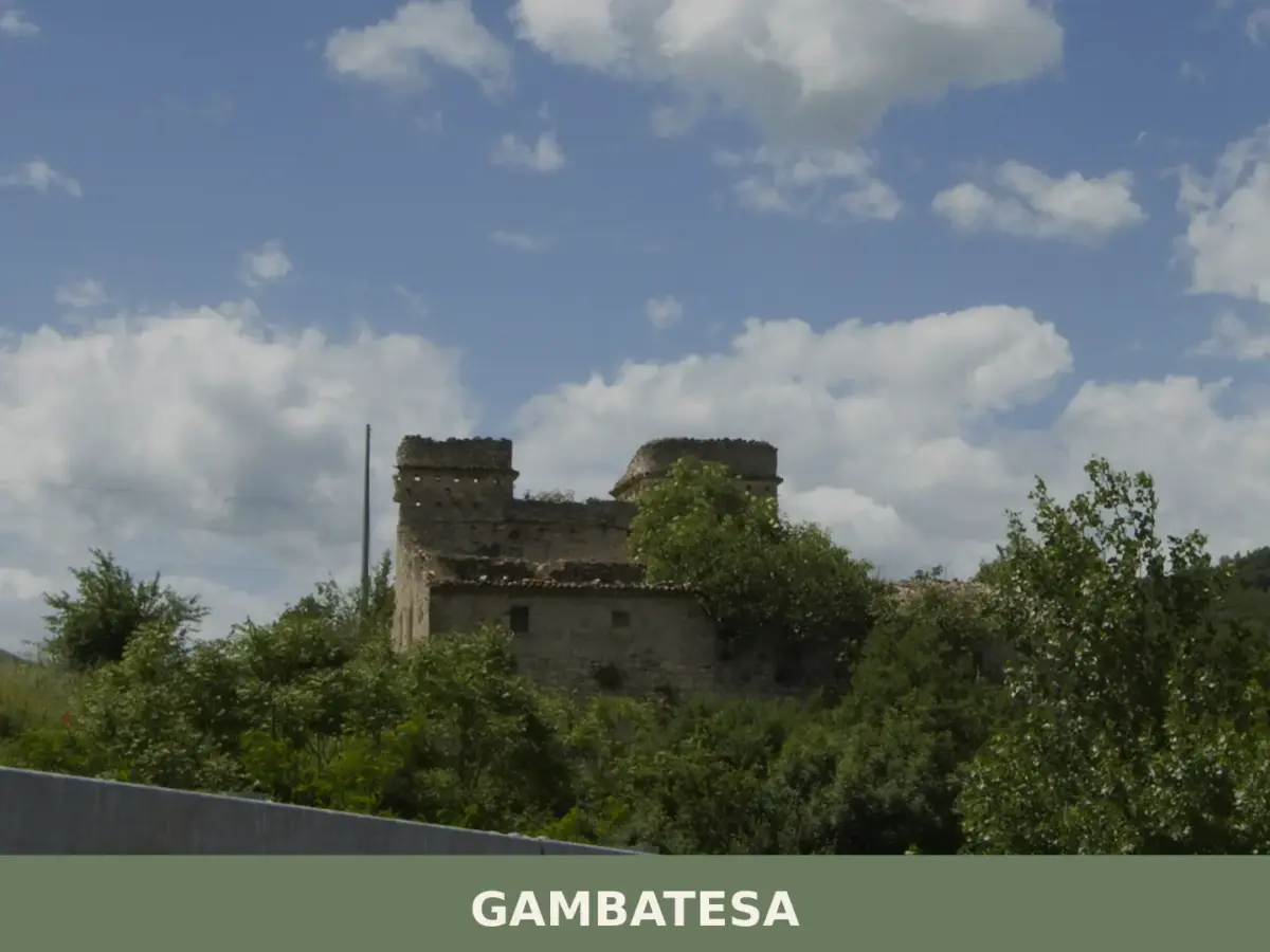
Gambatesa is a hilltop commune in the province of Campobasso, Molise, built around a medieval castle that was transformed into a Renaissance residence by the Di Capua family and remains the centrepiec
Acquaviva d’Isernia
 Mountain
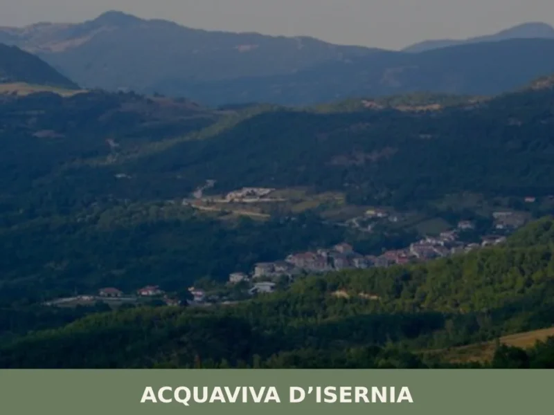
Discover what to see in Acquaviva d'Isernia: history, food, best time to visit, and how to reach this small Molise village in the Isernia uplands.
Guglionesi
Hills
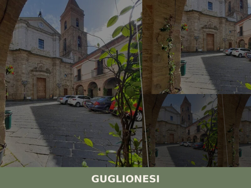
A hill town of nearly five thousand people in Campobasso province, Guglionesi offers Romanesque churches, Samnite archaeological traces, and wide Adriatic views across the Biferno valley.
Campolieto
Mountain
What to see in Campolieto, Italy: 11 km from Campobasso, explore the historic centre, local cuisine and festivals. Discover this Molise village now.
Busso
Mountain
What to see in Busso, Molise, Italy: explore 5 top attractions 10 km from Campobasso. Discover local food, festivals and how to get there. Complete travel guide.
Montenero di Bisaccia
 Sea
Sea
Morning light moves across the rooftops in a slow wave, catching the sandstone walls of old houses before spilling into the main piazza. At 273 metres above sea level, Montenero di Bisaccia sits on a hill that commands views stretching from the Apennine ridgeline to the Adriatic coast — a rare double horizon. With just […]
Baranello
Mountain
A documentary guide to Baranello in Molise — its civic museum, medieval churches, castle, and the quiet rhythms of an overlooked Italian hill village.
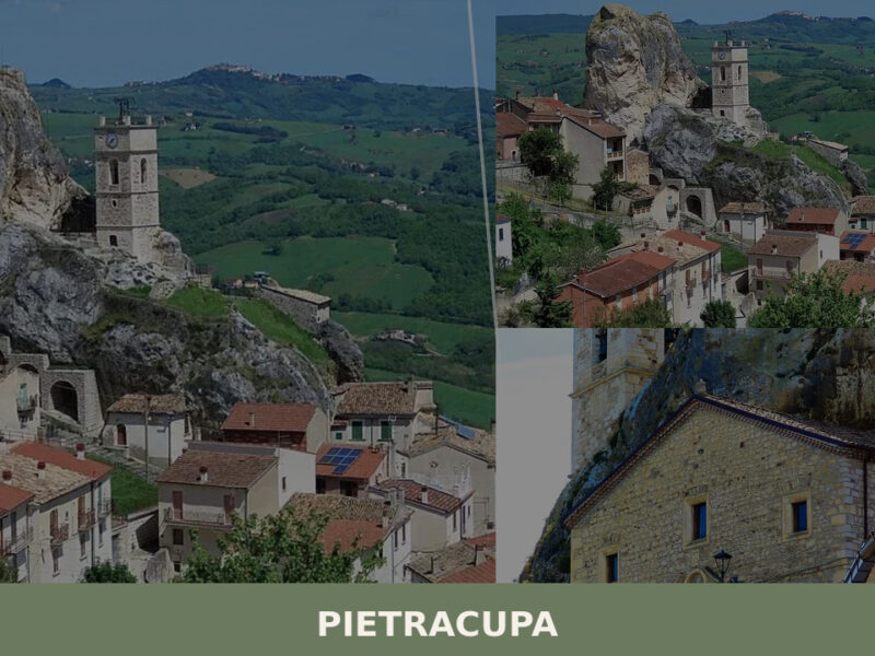
Pietracupa
Mountain
A 208-inhabitant village shaped by a massive rock outcrop in Molise's interior. Discover what to see in Pietracupa, from its grotto chapel to its silent panoramic ridgelines.
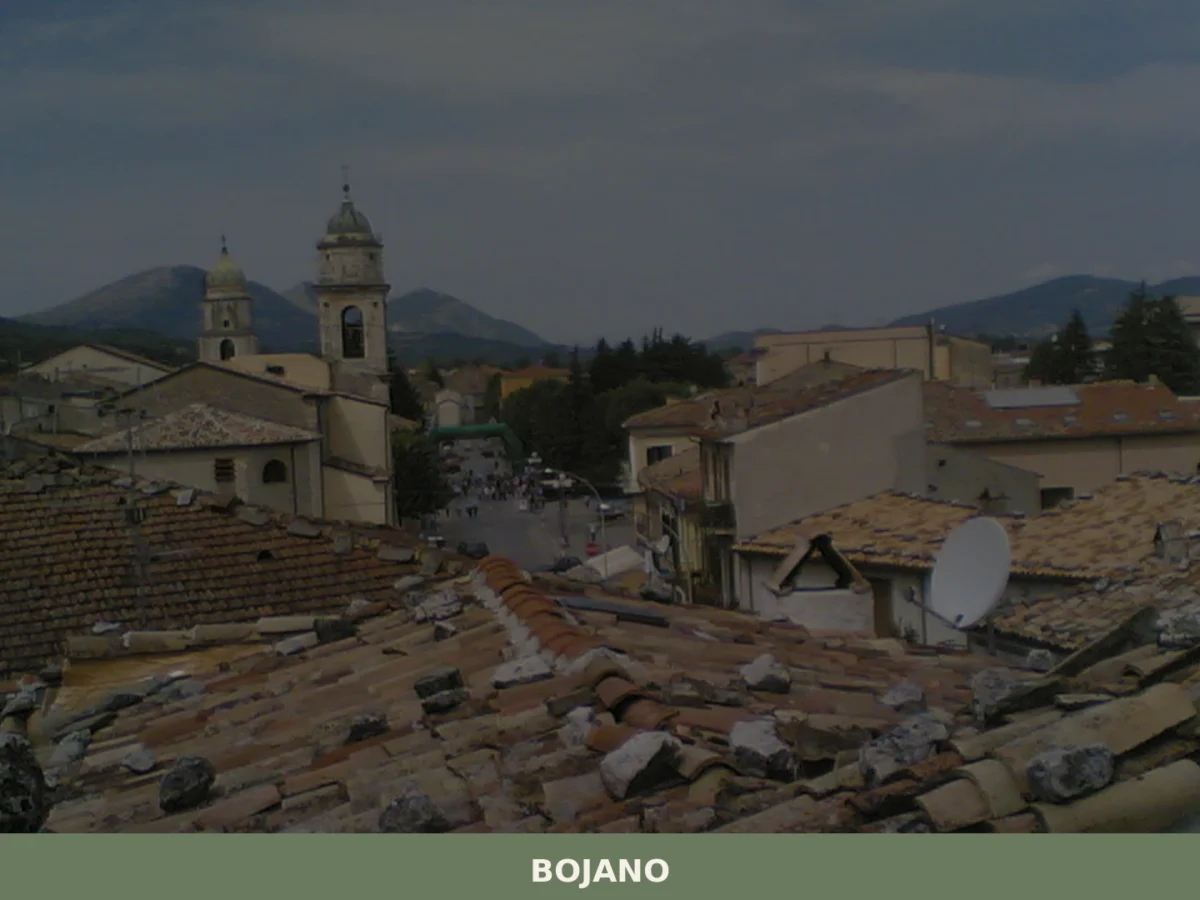
Bojano
Mountain
Discover what to see in Bojano, Molise u2014 from Samnite ruins and Norman castle remains to the Biferno valley and Matese mountain park. History, food, and travel tips.
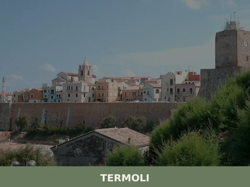
Termoli
Sea
Salt air sharpens every breath along the stone ramparts at dawn, and the Adriatic below shifts between grey-green and pale blue as fishing boats throttle out from the harbour, trailing diesel and the promise of the day’s catch. Termoli — a working coastal town of roughly 32,000 people in the province of Campobasso — sits […]




🏡 Know Duronia better than we do?
If you’re a local or have been there, your knowledge matters: add what’s missing or fix a detail on this page.