


Morino
What to see in Morino, Abruzzo, Italy: explore the Hermitage of Santa Maria del Cauto, the Roveto Valley, and 1,477 inhabitants’ traditions. Discover it now.
Discover Morino
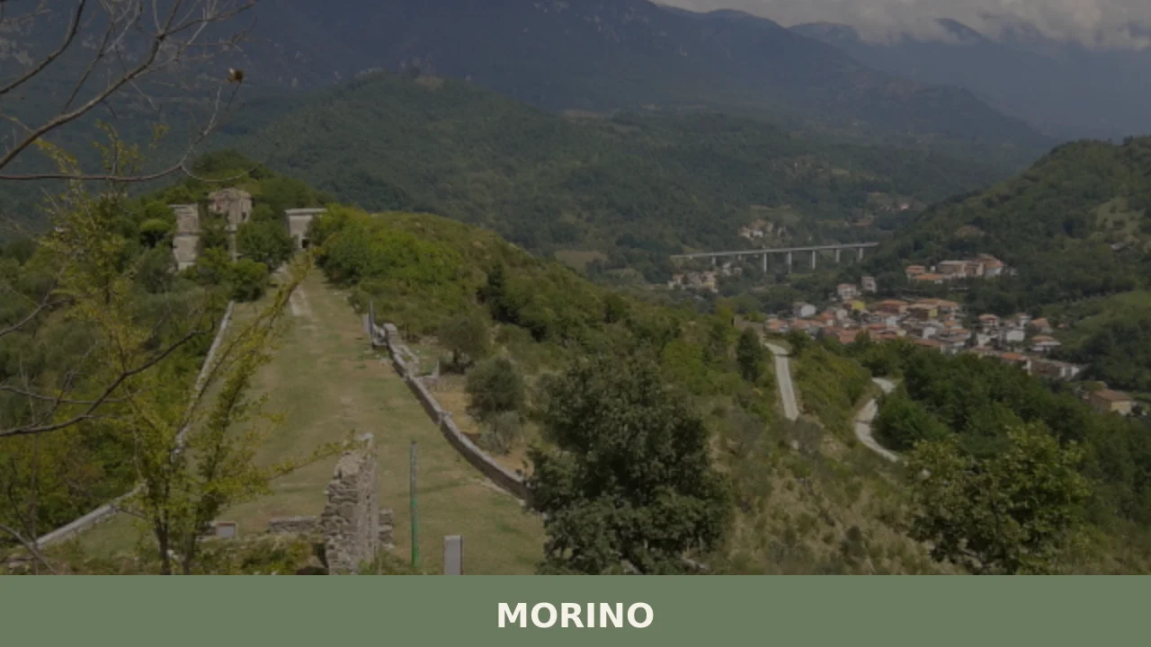
The eastern slopes of the Hernici Mountains hold the stone mass of Morino at their base, where the Roveto Valley opens wide enough for a town to settle and hold its ground.
The valley floor, cut through the Marsica region of inland Abruzzo, carries a particular quality of light in the late afternoon: the ridge line to the west catches the last sun while the valley below drops into early shadow, sharpening the outline of rooftops against limestone rock.
The comune’s 1,477 inhabitants move through streets oriented toward that eastern exposure, a geography that has determined the layout of the settlement for longer than any written record confirms.
Deciding what to see in Morino begins with understanding where it sits: in the centre of the Roveto Valley, province of L’Aquila, roughly 90 km (56 mi) east of Rome along one of the oldest transhumance corridors in central Italy. Visitors to Morino find a compact settlement shaped by mountain terrain, with the Hermitage of Santa Maria del Cauto standing as the most documented historic site and the valley landscape itself providing the strongest reason to explore on foot. The population of 1,477 gives the town a social density that sustains local commerce and a calendar of seasonal events without overwhelming the physical scale of the streets.
History of Morino
The Marsica region, within which Morino stands, was the territory of the Marsi people in pre-Roman Italy.
The Marsi occupied the highlands around the Fucino basin — a large natural lake drained only in the nineteenth century — and the surrounding valleys, including the Roveto. Their settlements were typically positioned on defensible slopes facing eastward, a pattern that matches Morino’s current position on the eastern side of the Hernici Mountains. Roman military and administrative penetration of the area deepened following the Social War of 91–87 BC, after which Marsic communities were integrated into the Roman civic structure, though local geographic identities persisted through the late imperial period and into the early medieval centuries.
During the medieval period the Roveto Valley served as a territorial boundary zone between competing feudal powers in central Italy.
The Hernici Mountains, which form the western wall of the valley, marked a natural line between the Papal States’ sphere of influence and the territories of the Kingdom of Naples to the south. Morino’s position at the centre of the valley placed it along routes used by both ecclesiastical and military traffic moving between Rome and the Neapolitan interior.
The founding and growth of religious establishments in this corridor — including hermitages and small monasteries — reflected that traffic and the patronage networks it generated. The Hermitage of Santa Maria del Cauto, associated with Morino and referenced in ecclesiastical sources, belongs to this pattern of religious foundation in isolated terrain. Villages with comparable medieval histories exist across the province: Goriano Sicoli, a fortified settlement in the same province of L’Aquila, shares the same pattern of feudal-era positioning along elevated terrain.
The post-unification period of Italian history, from 1861 onward, brought administrative reorganisation that placed Morino within the province of L’Aquila, a classification it retains today. The twentieth century brought demographic pressures common to inland Abruzzo: emigration to Rome, to northern Italian industrial centres, and to destinations abroad reduced populations across the Marsica region.
Morino’s current figure of 1,477 inhabitants reflects that long-term contraction from a historical peak, while the commune’s infrastructure — roads, services, the municipal administration itself — continues to function as the local civic anchor for the Roveto Valley settlements in its immediate orbit.
What to see in Morino, Abruzzo: top attractions
Hermitage of Santa Maria del Cauto
The Hermitage of Santa Maria del Cauto occupies a position in the terrain outside the main settlement, set against the rock face in the manner common to central Italian hermitages founded between the tenth and thirteenth centuries.
Rock-cut and masonry-built elements typically coexist in structures of this type, where the natural cavity provided both shelter and symbolic isolation from secular life. The site takes its dedication from a Marian cult, a consistent feature of hermitage foundations in the Apennine corridors. Visiting requires leaving the town centre and following the approach path on foot; the walk itself gives a clear view of the Roveto Valley from an elevated angle, approximately 50–80 m (164–262 ft) above the valley floor depending on the exact approach line.
The Roveto Valley Viewpoints
The Roveto Valley stretches through the Marsica region with a floor elevation of roughly 480–520 m (1,575–1,706 ft) above sea level, flanked on the west by the Hernici Mountains and on the east by the ridges separating the Abruzzo interior from the Liri river drainage.
From the upper streets of Morino, the full width of the valley is visible without obstruction, giving a clear reading of the topography that shaped settlement patterns across several millennia. The best light falls in the morning, when the sun rises above the eastern ridge and illuminates the valley floor directly. Walking the upper perimeter of the built area takes around 20–30 minutes and covers the most significant panoramic positions.
The Eastern Slopes of the Hernici Mountains
Morino’s built area climbs the eastern flank of the Hernici Mountains, a limestone range forming part of the central Apennine system.
The exposed rock strata on the upper slopes show the characteristic pale grey of Apennine limestone, fractured in vertical joint patterns that define the skyline above the last rooftops.
Trails leading from the edge of the settlement gain elevation at a consistent gradient, reaching open terrain within 2–3 km (1.2–1.9 mi) from the town centre. The mountain flank hosts typical sub-Apennine vegetation: holm oak below approximately 700 m (2,297 ft), replaced by mixed deciduous species higher up. Early autumn, when the deciduous cover turns, provides the most distinct visual contrast between rock, canopy, and valley below.
The Historic Town Centre
The stone construction fabric of Morino’s older streets reflects building practices common to the Marsica region between the fifteenth and nineteenth centuries, using local limestone cut in irregular coursed blocks. Street widths in the oldest sections measure 2–3 m (6.6–9.8 ft), following the medieval layout that prioritised defensible density over movement of vehicles.
The parish church, positioned at the logical topographic centre of the inhabited area, provides the main vertical landmark within the settlement.
Architectural details worth examining include the door surrounds of older domestic buildings, where carved stone profiles indicate periods of relative local prosperity, and the retaining walls on the downhill side of the upper streets, some of which incorporate material reused from earlier structures.
The Marsica Landscape Context
Understanding what to see in Morino is inseparable from the broader Marsica landscape, which includes the former Fucino basin — drained between 1854 and 1875 and now one of the largest flat agricultural plains in central Italy, measuring roughly 155 km² (59.8 sq mi). From elevated positions above Morino, the Fucino plain is visible to the northeast on clear days, its flat geometry reading as a geographic anomaly within the surrounding mountain terrain.
The Marsica region also contains the Parco Nazionale d’Abruzzo, Lazio e Molise, whose boundaries lie within 30–40 km (18.6–24.9 mi) of Morino and whose protected landscapes provide an extension of any visit to the valley.
Montenerodomo, a village in the province of Chieti on the southern edge of the Marsica cultural area, illustrates how the same mountain geography shaped different settlement forms across the region.
Local food and typical products of Morino
The food traditions of the Roveto Valley belong to the broader culinary geography of inland Abruzzo, where the convergence of mountain pastoralism and valley agriculture produced a kitchen based on legumes, cured pork, foraged greens, and fresh pasta.
The Marsica region historically relied on the seasonal movement of flocks between highland summer pasture and lowland winter grazing, and the food culture that developed alongside that system gave central importance to preserved meats, aged cheeses, and dishes that could sustain physical labour in cold conditions.
The draining of the Fucino basin in the nineteenth century added a new agricultural dimension, introducing intensive vegetable cultivation — particularly potatoes and sugar beet — into a diet that had previously depended on more limited valley-floor farming.
Pasta forms the structural base of the local table. Sagne ‘ntorchiate, a twisted flat pasta made from durum wheat flour and water without egg, is cut in short irregular lengths and dressed with lamb ragù or with a sauce of dried legumes and pork fat.
The texture is deliberately coarse, retaining sauce through surface roughness rather than shape alone.
Minestra di farro, a soup of emmer wheat cooked with dried borlotti beans, rosemary, and a rind of aged pecorino, represents a preparation unchanged in its fundamentals for several centuries and suited to the cold months between November and March. Agnello alla cacciatora — lamb braised with white wine, rosemary, garlic, and dried chilli — uses animals from local flocks and produces a braise that reduces to a concentrated sauce over a cooking time of approximately 90 minutes on low heat.
Cured meats produced in the Marsica and Roveto Valley area follow techniques common to the wider Abruzzo tradition: ventricina, a coarsely ground pork salume seasoned with sweet and hot dried peppers, and salsiccia secca, a thin-cased dried sausage hung for a minimum of 30 days, are both found in local alimentari and at periodic markets.
Aged sheep’s milk cheese produced in the area shares characteristics with pecorino types documented across the L’Aquila province, with a firm paste and a sharpness that increases after 60 days of maturation.
No DOP or IGP certification specific to Morino appears in the available documentation; the products described here fall within the broader Abruzzo regional tradition confirmed by regional agricultural sources.
Local food purchasing is most straightforward at periodic markets, which in Marsica communes typically take place on a fixed weekly day in the main square. The autumn period — September through November — aligns with the freshest availability of mushrooms foraged from the Hernici slopes and with the first pressing of olive oil from lower-elevation groves in the Liri valley below.
For visitors combining a stop in Morino with wider exploration of the province, the village of Lettopalena in the Aventino valley offers a comparable range of pastoral food traditions rooted in the same Apennine agricultural system.
Festivals, events and traditions of Morino
The liturgical calendar organises the main public events in Morino as it does across the comuni of the L’Aquila province. The patron saint festival follows the calendar date of the relevant dedication and typically involves a religious procession through the main streets of the historic centre, a solemn mass in the parish church, and an evening of communal gathering in the central square.
In Marsica tradition, these festivals include the public display of the patron saint’s statue carried through the streets by members of the local confraternity, accompanied by a brass band. Fireworks over the valley follow in the evening, visible from the surrounding slopes. The precise date of Morino’s patron festival is tied to the liturgical calendar of the specific saint to whom the parish church is dedicated.
Seasonal food events — locally described as sagre, traditional festivals centred on a specific local product or dish — take place across the Roveto Valley in late summer and autumn.
These events typically occupy a single weekend, with communal cooking on large outdoor grills or open wood fires, and local producers selling directly to visitors. The autumn period, when the agricultural cycle concludes and preserved products are at their freshest, concentrates the highest number of these events across the Marsica communes. Morino participates in the broader festival circuit of the valley, though specific event names and confirmed dates require verification with the municipal administration before travel.
When to visit Morino, Italy and how to get there
The best time to visit Morino in practical terms falls between late April and early June, and again between September and early November.
Spring brings the valley into full foliage after the long inland winter, with temperatures in the 14–20°C (57–68°F) range at valley level and clear air that makes the Hernici ridge line sharp against the sky.
Autumn offers lower temperatures and the colour shift of the deciduous mountain cover, with the additional draw of seasonal food events across the Marsica region. Summer — July and August — is warm and dry, with afternoon temperatures reaching 28–32°C (82–90°F) in the valley, making morning visits to the hermitage and mountain trails more comfortable than midday excursions. Winter closes many of the higher paths with snow above 900 m (2,953 ft) and reduces the frequency of public transport connections.
Morino, Abruzzo, Italy lies approximately 90 km (56 mi) east of Rome, making it accessible as a day trip from the capital for travellers with a car. The most direct route from Rome uses the A24 motorway (Roma–L’Aquila–Teramo), exiting at Carsoli and continuing southeast along the SS82 through the Roveto Valley, a total drive of approximately 1 hour 15 minutes under normal traffic conditions.
The nearest mainline railway station with regular connections is at Avezzano, 20 km (12.4 mi) northeast of Morino, served by Trenitalia regional services from Rome Tiburtina with a journey time of approximately 1 hour 30 minutes. From Avezzano, local bus services connect to the Roveto Valley communes on weekday schedules; travellers relying on public transport should confirm current timetables directly with the regional transport authority before departure.
The nearest international airport is Rome Fiumicino (FCO), approximately 120 km (74.6 mi) from Morino, with a transfer time of around 1 hour 30 minutes by car. International visitors should be aware that English is not widely spoken in smaller shops and local bars; carrying euro cash is advisable, as card payment terminals are not universal in smaller Marsica establishments. Those arriving by car and planning to explore the valley further may find it useful to cross toward the Sangro valley, where Elice represents one of the province’s well-documented stops on the broader Abruzzo touring circuit.
Knowing what to see in Morino is more useful when combined with a realistic assessment of driving distances across the L’Aquila province.
The road network through the Roveto Valley is well-maintained but narrow in sections, with limited passing opportunities on the higher approach roads to the Hernici slopes. For those arriving from the south via the A1 motorway, the exit at Cassino followed by the SS509 northward through the Comino Valley connects to the Roveto basin in approximately 45 minutes, adding a different geographic approach and the opportunity to observe the shift from lowland Lazio terrain to the Marsica interior.
Frequently asked questions about Morino
What is the best time to visit Morino?
The best time to visit Morino is generally early autumn, particularly September and October, when the deciduous forests on the Hernici Mountains display vibrant colors, offering stunning visual contrasts with the limestone rock and valley below. September 8th is also significant, marking the Festa della Natività della Beata Vergine Maria, the patron saint's feast day, which brings local traditions and events. Spring offers pleasant weather for hiking. For a taste of traditional winter cuisine, such as Minestra di farro, the colder months from November to March are ideal.
What are the historical origins of Morino?
Morino's origins trace back to pre-Roman Italy, when the Marsi people inhabited the highlands of the Marsica region, including the Roveto Valley. Their settlements, like Morino, were strategically positioned on defensible eastern slopes. Following the Social War, Marsic communities were integrated into the Roman civic structure. During the medieval period, Morino's central location in the Roveto Valley made it a significant boundary zone between the Papal States and the Kingdom of Naples, fostering the growth of religious establishments like the Hermitage of Santa Maria del Cauto.
What to see in Morino? Main monuments and landmarks
Morino's main landmark is the Hermitage of Santa Maria del Cauto, an ancient religious site dating from the 10th-13th centuries, nestled into the rock face outside the main settlement. Access requires a scenic walk on foot from the town centre, offering elevated views of the Roveto Valley. Within the village, explore the historic town centre with its stone construction dating from the 15th-19th centuries. The parish church serves as a central landmark, and you can admire architectural details like carved stone door surrounds on older domestic buildings, reflecting periods of local prosperity.
What are the main natural or scenic attractions of Morino?
Morino offers several natural and scenic attractions. The Roveto Valley Viewpoints, easily accessible from the upper streets of the village, provide expansive panoramic views of the entire valley, especially beautiful in the morning light. For hikers, the Eastern Slopes of the Hernici Mountains offer trails leading into open terrain just 2-3 km from the town centre, traversing typical Apennine vegetation. On clear days, from elevated positions above Morino, you can also glimpse the vast Fucino plain to the northeast. The Parco Nazionale d'Abruzzo, Lazio e Molise is also within a 30-40 km drive, offering further protected natural landscapes.
Where to take the best photos in Morino?
For the best photos in Morino, head to the upper streets of the historic town centre, which offer unobstructed panoramic views of the Roveto Valley, especially picturesque in the morning light. The approach path to the Hermitage of Santa Maria del Cauto also provides an elevated perspective of the valley. For landscape photography, explore the trails on the Eastern Slopes of the Hernici Mountains, particularly in early autumn when the changing deciduous foliage creates stunning contrasts against the limestone rock. On clear days, elevated spots above Morino can even capture the distant Fucino plain.
Are there museums, churches or historic buildings to visit in Morino?
Yes, Morino offers historical buildings to visit. The most significant is the Hermitage of Santa Maria del Cauto, a fascinating 10th-13th century structure combining rock-cut and masonry elements, located just outside the main settlement. Within the historic town centre, the parish church stands as a central landmark. Visitors can also admire the traditional stone architecture of older domestic buildings, noting the distinctive carved stone door surrounds that reflect the village's heritage from the 15th to 19th centuries. There is no mention of museums in the provided content.
What can you do in Morino? Activities and experiences
In Morino, you can immerse yourself in nature and history. Hiking is a primary activity, with trails leading from the edge of the village up the Eastern Slopes of the Hernici Mountains, offering varying gradients and access to open terrain. A walk to the Hermitage of Santa Maria del Cauto combines historical exploration with scenic views of the Roveto Valley. Explore the historic town centre on foot, admiring its traditional stone architecture. Additionally, visitors can enjoy the local food traditions of inland Abruzzo, savoring dishes like Sagne 'ntorchiate or Agnello alla cacciatora, and participate in seasonal events that sustain the local community.
Who is Morino suitable for? Families, couples, hikers, solo travelers?
Morino is ideal for travelers seeking an authentic Abruzzese mountain experience, particularly hikers and nature enthusiasts eager to explore the Hernici Mountains and the Roveto Valley on foot. Its compact, historic centre appeals to those interested in local history and traditional architecture, making it suitable for solo travelers or couples looking for a quiet, immersive cultural escape. Families who enjoy outdoor activities and a relaxed pace will also appreciate the village's charm and proximity to the Parco Nazionale d'Abruzzo, Lazio e Molise, along with its genuine local food traditions.
What to eat in Morino? Local products and specialties
Morino's culinary scene reflects the robust traditions of inland Abruzzo, blending mountain pastoralism with valley agriculture. Specialties include hearty dishes based on legumes, cured pork, and fresh pasta. Must-try local dishes are Sagne 'ntorchiate, a distinctive twisted pasta often served with lamb ragù or a rich sauce of dried legumes and pork fat, and Minestra di farro, a comforting emmer wheat soup with borlotti beans and pecorino. Agnello alla cacciatora, lamb braised with local herbs and chilli, is another staple. Don't miss the excellent cured meats and aged cheeses produced in the Marsica and Roveto regions, alongside local potatoes from the Fucino plain.
📷 Photo Gallery — Morino
Nearby Villages near Morino
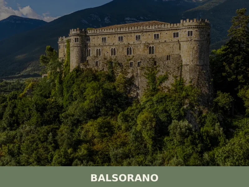
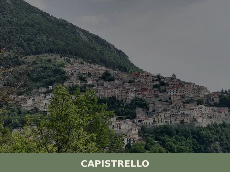
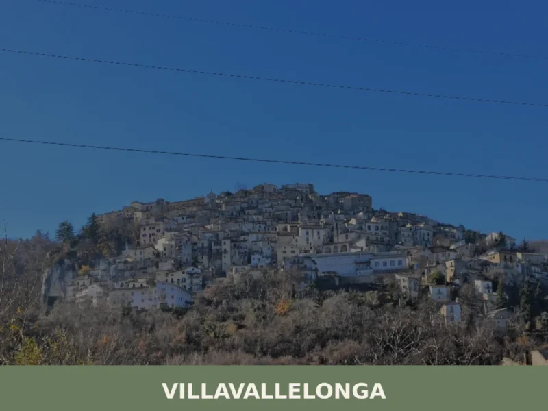
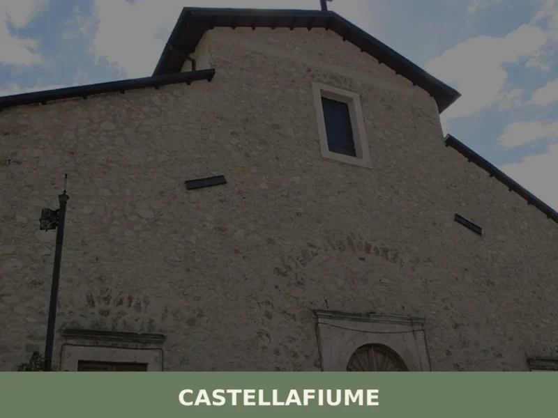
In Abruzzo More villages to discover
Vicoli
what to see in Vicoli, Italy: Discover the historical castle ruins and ancient village core of this Abruzzo comune, home to 394 inhabitants. Explore its medieval past.
Canosa Sannita
At 231 metres above sea level, on the plain that opens between the Maiella massif and the Teatine coast, Canosa Sannita is home to 1,268 inhabitants spread across an agricultural landscape where the cultivation of vines and olive trees marks the rhythm of the seasons. The village’s very name carries a precise indication: a reference […]
Pescocostanzo
what to see in pescocostanzo offers a blend of mountain beauty and historical charm in Italy. Discover its 1,138 inhabitants, the Maiella National Park, and the Basilica di Santa Maria del Colle. Explore Abruzzo's heart.
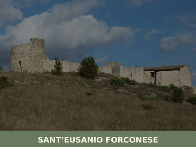
Sant’Eusanio Forconese
What to see in Sant’Eusanio Forconese? Explore 5 main attractions of this Abruzzo village, from the Castle to panoramic views. Plan your visit with our guide!
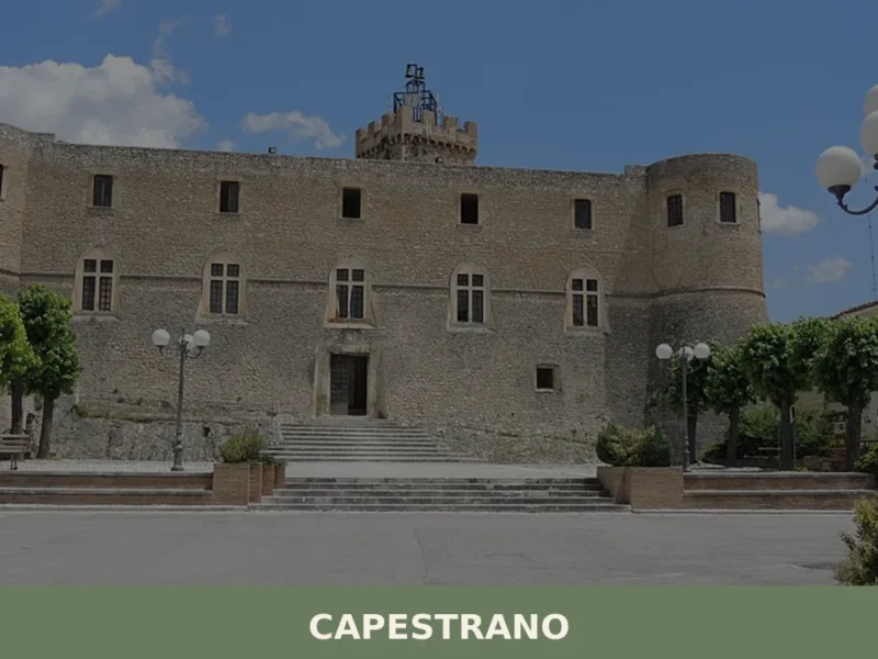
Capestrano
What to see in Capestrano? Discover the 5 top attractions, from Piccolomini Castle to the Warrior statue. Plan your visit to this Abruzzo village.
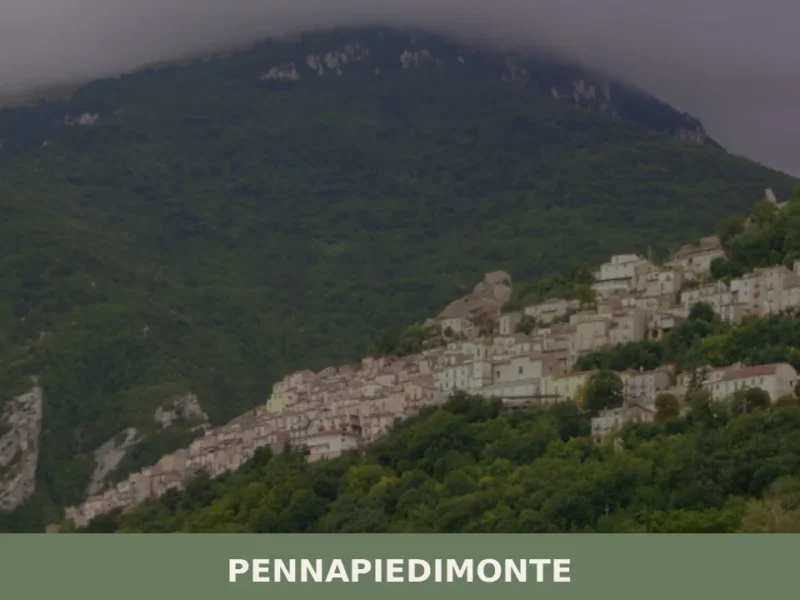
Pennapiedimonte
what to see a Pennapiedimonte: 5 attractions nel village a 669 m s.l.m. in Abruzzo. Scopri il centro storico, la Majella, le festivals di agosto e i prodotti PAT.
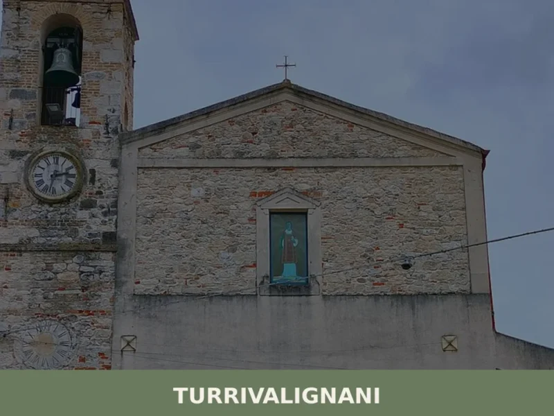
Turrivalignani
What to see in Turrivalignani? Discover the ancient village, the Church of San Nicola, and nature trails. Plan your visit to Abruzzo!
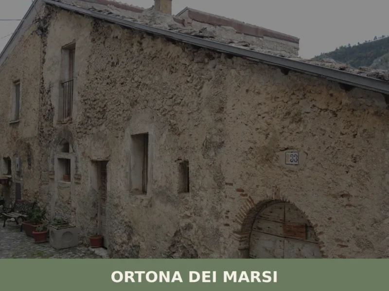
Ortona dei Marsi
What to see in Ortona dei Marsi, Italy: a village at 1,000 m in Abruzzo's national park. Discover 5 key sights, local food, and how to get there.
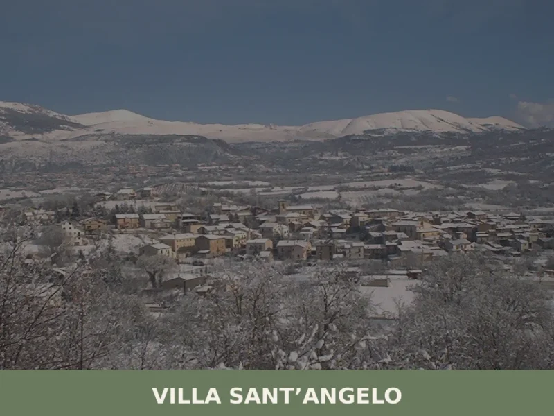
Villa Sant’Angelo
What to see in Villa Santu2019Angelo? Discover 5 must-see attractions and the history of the ancient village. Plan your guided visit now!
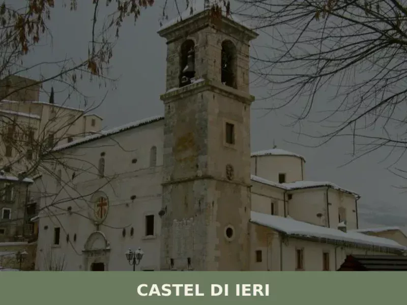
Castel di Ieri
In Castel di Ieri, a village of 289 registered inhabitants at 519 metres above sea level in the Valle Subequana, the most significant feature lies underground: an Italic temple from the 1st century BC, unearthed during the 1980s, which redrew the archaeological map of inland Abruzzo. Anyone looking into what to see in Castel di […]


🏡 Know Morino better than we do?
If you’re a local or have been there, your knowledge matters: add what’s missing or fix a detail on this page.