


Roccacasale
What to see in Roccacasale, Italy: a medieval village of 712 inhabitants above the Peligna Valley. Discover the 1579 church, castle ruins and local cuisine.
Discover Roccacasale
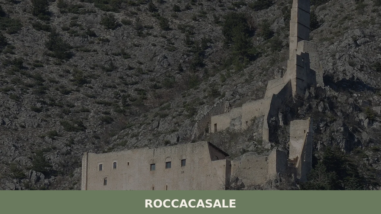
The castle sits above the village at a point where two valleys converge: the Valle del Sangro and the Cinquemiglia plain, both visible from the upper lanes of the rocca, meaning fortified high ground. Roads here are steep and cut directly into the bedrock, and the buildings that line them were raised on that same exposed stone, with narrow passageways linking one level to the next.
At around 680 m (2,231 ft) above sea level, the summit of Monte della Rocca catches the wind off the central Apennines even in summer, and the Peligna Valley below looks, from this height, like a broad agricultural basin framed by ridgelines.
Deciding what to see in Roccacasale means working through a compact but layered set of sites: a walled medieval village of 712 inhabitants in the Province of L’Aquila, a church consecrated in 1579, the structural remains of a baronial palazzo, and the castle itself whose construction defined the settlement’s entire layout. Visitors to Roccacasale find a place where the physical logic of medieval defensive architecture is still readable in the street plan, and where the Peligna Valley and the town of Sulmona remain as visible today as they were to whoever first built the fortifications here.
History of Roccacasale
Before the castle existed, there was a modest settlement called Casali, documented with a small number of inhabitants prior to 925. That community occupied a modest position on the slopes of Monte della Rocca without any substantial defensive infrastructure. The transition from scattered rural settlement to organised walled village followed directly from a single strategic decision: the construction of a fortified rocca designed to control movement through two critical corridors, the entrance to the Valle del Sangro and the adjacent Cinquemiglia plain. The threat being addressed came from Saracen or Byzantine incursions through the central Apennines, and the hilltop position gave the garrison a commanding line of sight over both approaches.
As the castle took shape, the village organised itself around it in the way typical of medieval Abruzzo: residential and commercial buildings were placed directly below the fortifications on the steepest available ground, linked by the narrow covered passageways still visible today.
The higher section of the village, closest to the castle, consists of roads so sharply inclined that they function more as staircases than carriageways. Over time, the settlement acquired a civic identity that was formalised under the de Sanctis family, the barons of Roccacasale, who constructed a baronial palazzo adjacent to the church of Saint Michael Archangel. The palazzo was raised after the castle, making it a later addition to the upper village’s built fabric, though today very little of it survives structurally. The village of Montenerodomo, situated further south in Abruzzo, followed a comparable pattern of castle-centred medieval formation in the same regional context.
The name Roccacasale itself combines two elements: rocca, the fortified stronghold, and casali, the pre-existing rural settlement it absorbed and transformed. This linguistic record reflects the two-stage process of the village’s formation. The surrounding area, the Peligna Valley, had been a zone of movement and conflict throughout the medieval period, and Sulmona — the nearest significant urban centre — served as both a commercial hub and an administrative reference point for the villages on the valley’s slopes.
Roccacasale’s position directly above Sulmona, on the road approaches from the east, gave it a surveillance role that shaped its architecture for several centuries. The current population of 712 represents a significant reduction from the village’s medieval and early modern peak, a demographic pattern shared by most high-altitude Apennine settlements throughout the twentieth century.
What to see in Roccacasale, Abruzzo: top attractions
The Fortified Castle and Castle Ruins
The castle occupies the highest point of Monte della Rocca and was constructed specifically to control the passes leading into the Valle del Sangro and across the Cinquemiglia plain. Its siting precedes the village in its current form: the residential fabric grew downhill from the fortifications, which means the entire street plan of Roccacasale is a consequence of this structure’s position. Standing at the ruins today, the view extends south to Sulmona and across the Peligna Valley in a 180-degree arc. The stone used in the construction is the local Apennine limestone, still visible in the surviving wall sections.
Reaching the castle requires climbing the steep upper lanes of the village, which are surfaced directly on the bedrock of the mountain.
Church of Saint Michael Archangel
The church of Saint Michael Archangel was consecrated in 1579, giving it a documented founding date that places it firmly in the late sixteenth century, a period of significant religious construction across the Abruzzo region. It stands inside the ancient walled perimeter of the upper village, adjacent to the site of the de Sanctis baronial palazzo. The interior preserves the proportions of a modest parish church built for a concentrated hilltop population, and its dedication to Saint Michael reflects the widespread Archangel cult across the central Apennines, where high-altitude sites were frequently associated with that devotion. The external walls show the same exposed limestone construction as the surrounding buildings.
The Baronial Palazzo of the de Sanctis
The de Sanctis family, barons of Roccacasale, built their palazzo next to the church of Saint Michael Archangel at some point after the castle’s construction, making it the second major civic structure in the upper village. Today very little of the palazzo survives above ground: what remains are structural fragments that indicate the scale and position of the original building rather than its decorative detail.
The site is historically significant because it documents the presence of a feudal administrative centre within the village walls, separate from the castle itself. Walking the narrow lanes between the church and the palazzo’s remains gives a clear sense of how compactly the upper village arranged its key functions — religious, administrative, and defensive — within a few dozen metres of each other.
The Medieval Street Plan and Rock-Cut Lanes
The upper section of Roccacasale preserves a street pattern that has not been substantially reorganised since the medieval period. Roads were cut directly into the bedrock of Monte della Rocca, and many of the buildings that line them were raised on the same exposed stone, with their foundations integrated into the natural rock surface.
Narrow passageways — some roofed over by the buildings on either side — connect the main lanes at intervals, creating a three-dimensional network rather than a simple linear layout. This type of rock-cut urban fabric is relatively rare in the Peligna Valley because it requires a specific combination of steep terrain and hard limestone, both of which are present here in quantity. The best section to explore on foot is the upper village, where the incline is steepest and the medieval character most intact.
Views over the Peligna Valley and Sulmona
From the upper lanes and the castle area, the Peligna Valley spreads out at an elevation difference of approximately 150 m (492 ft) below the village centre, with Sulmona — a town of around 24,000 people and one of the most historically significant centres in the Province of L’Aquila — clearly visible to the south. The view is not incidental: it was the primary reason the castle was built here in the first place, to maintain surveillance over the valley floor and the roads crossing it.
For visitors approaching what to see in Roccacasale with limited time, this vantage point delivers the clearest single impression of why the settlement exists where it does and how it related to the broader geography of medieval Abruzzo. Early morning in spring offers the sharpest visibility, before afternoon haze builds over the valley basin.
Local food and typical products of Roccacasale
The food culture of the Peligna Valley and the upland villages above it reflects the vertical geography of the Apennines: cereal cultivation on the valley floor, sheep and goat pasture on the higher slopes, and a domestic cooking tradition built around preserved and dried ingredients suited to villages that were largely self-sufficient for most of the year. Roccacasale, at around 680 m (2,231 ft), sits in a climate zone where winters are cold enough to make fresh produce seasonal and where curing, drying, and fermenting are not stylistic choices but practical necessities developed over generations.
The standard repertoire of the area includes pasta formats made from durum wheat semolina, typically prepared without egg in the older tradition.
Sagne ‘ntorte, a twisted pasta cut from a thick sheet and cooked in bean or chickpea broth, represents one of the most documented preparations of the central Abruzzo interior, combining a legume base with the pasta in a single-pot format that was both economical and calorie-dense for agricultural and pastoral workers. Agnello alla scottadito, lamb chops cooked directly over embers and eaten immediately while still too hot to hold comfortably, is the standard way to use the cuts from the valley’s flocks, seasoned with local rosemary and nothing else. Pecorino produced from the milk of sheep grazing the Apennine pastures above the valley floor has been a constant of the local diet: the fresh version is eaten within days of production, while the aged form — kept for sixty days or more — develops a compact, granular texture used to finish pasta dishes in place of harder aged cheeses.
No certified designation of origin products (DOP, IGP, or STG) specific to Roccacasale itself are recorded in the available sources. The broader agricultural production of the Peligna Valley includes saffron cultivation centred on the nearby Navelli plateau, lentils from the Santo Stefano di Sessanio area, and the Sulmona red garlic, all of which appear regularly in the markets of the valley towns and can be purchased in Sulmona during any weekly market day.
Visitors to villages along the Abruzzo Apennines, including Balsorano in the Roveto Valley to the west, will find comparable patterns of upland food production oriented around sheep, cereals, and preserved vegetables.
The most practical point of purchase for local products remains the weekly market in Sulmona, accessible from Roccacasale in under 20 minutes by car. Summer and early autumn bring the highest availability of fresh local produce, including wild herbs collected from the slopes above the village, dried legumes from the summer harvest, and the first batches of the season’s new cheese. Carrying cash is advisable at smaller markets and roadside stalls, as card payment infrastructure in rural Abruzzo remains inconsistent.
Festivals, events and traditions of Roccacasale
The primary liturgical celebration in Roccacasale is dedicated to Saint Michael Archangel, the patron of the village church consecrated in 1579. The feast of Saint Michael falls on 29 September in the Roman Catholic calendar, and in villages across the central Apennines this date traditionally marks the end of the summer pastoral season, when flocks were moved back down from high pasture.
The celebration in Roccacasale is centred on the church itself, with a religious procession through the upper village lanes that follows the steep roads connecting the church to the lower settlement. As is standard for Abruzzo patronal festivals, the religious ceremony is accompanied by communal gatherings in the village square, local food preparation, and, in most years, evening fireworks visible across the Peligna Valley.
The calendar of the broader Peligna Valley includes several sagre — traditional food festivals tied to a specific local product or season — held in Sulmona and the surrounding municipalities between June and October. These events draw visitors from across the province and offer a direct route into the seasonal food cycle of the area. The Giostra Cavalleresca di Sulmona, a documented medieval-themed tournament held in Sulmona each summer, provides an additional cultural event within easy reach of Roccacasale, approximately 10 km (6.2 mi) by road down the valley.
When to visit Roccacasale, Italy and how to get there
The best period to visit Roccacasale is between late April and early October, when the mountain roads are clear of snow and the temperature on the upper village at 680 m (2,231 ft) stays between 15°C and 27°C (59°F and 81°F).
Spring brings the clearest views across the Peligna Valley and the wildflowers on the Apennine slopes above the village. Summer is dry and cooler than the valley floor, making it a workable base for those exploring the broader Sulmona area. Autumn, from September through October, aligns with the patronal feast of Saint Michael and with the harvest season in the valley. Winter visits are possible but require attention to road conditions, as the steep approach lanes into the upper village can become icy between December and March. For those specifically interested in the best time to visit Abruzzo more broadly, the shoulder seasons of May and September offer the most consistent combination of accessibility, moderate crowds, and active local events.
Arriving by car from Rome, take the A25 motorway in the direction of Pescara and exit at Sulmona. Roccacasale is approximately 10 km (6.2 mi) northeast of Sulmona by provincial road, with a drive time of around 15 minutes from the motorway exit. The total distance from Rome is approximately 160 km (99 mi), making it a feasible day trip from the capital for those travelling by car. From Pescara on the Adriatic coast, the distance is approximately 120 km (74.5 mi) via the A25, with a drive time of about 90 minutes. The nearest railway station is Sulmona railway station, served by regional trains on the Rome–Pescara line.
From Sulmona station, a car or taxi is required for the final 10 km (6.2 mi) to the village, as no regular bus line directly connects the two. The nearest international airport is Pescara Airport (Abruzzo Airport), located approximately 120 km (74.5 mi) from Roccacasale, with connections to several European cities. International visitors arriving at Rome Fiumicino should allow approximately two hours for the combined rail and road transfer. English is not widely spoken in smaller shops and rural establishments in this part of Abruzzo; carrying a reasonable amount of euro cash remains practical for any purchases outside Sulmona itself.
Those planning a wider itinerary through the Abruzzo interior can extend a visit to Roccacasale with a stop at Colledimezzo, a hillside village near Lake Bomba in the Sangro Valley, or travel northeast toward the Adriatic to reach Pescara, the regional capital and main transport hub, which lies roughly 120 km (74.5 mi) from Roccacasale along the A25. Both options are reachable within two hours, making a multi-village itinerary across Abruzzo practical even on a short schedule.
Nearby Villages near Roccacasale
In Abruzzo More villages to discover
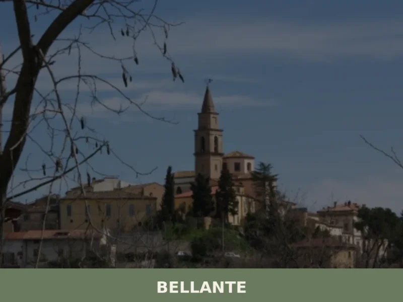
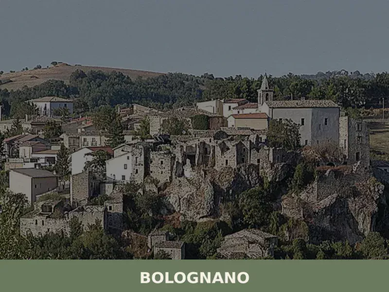
Bellante
The road into Bellante rises through a sequence of switchbacks that open, at the last bend, onto a compact hilltop settlement in the Teramo hills of Abruzzo. Stone buildings press close against one another along the ridge, and the Torre Civica — the civic tower at the center of the old settlement — marks the […]
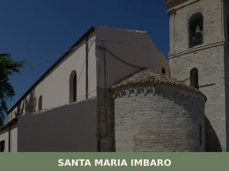
Santa Maria Imbaro
The hill that supports Santa Maria Imbaro stands out sharply against the outline of the Chieti countryside: the low rooftops, the local stone façades and the bell tower of the parish church form a compact silhouette that can be read from the provincial road, even before turning into the village. The local dialect calls it […]
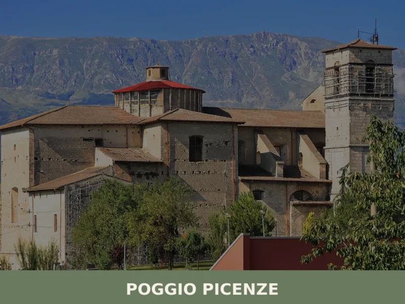
Poggio Picenze
What to see in Poggio Picenze, Italy: explore 5 top attractions at 760 m altitude, the Blues festival, and San Felice feast. Discover Abruzzo's limestone village.
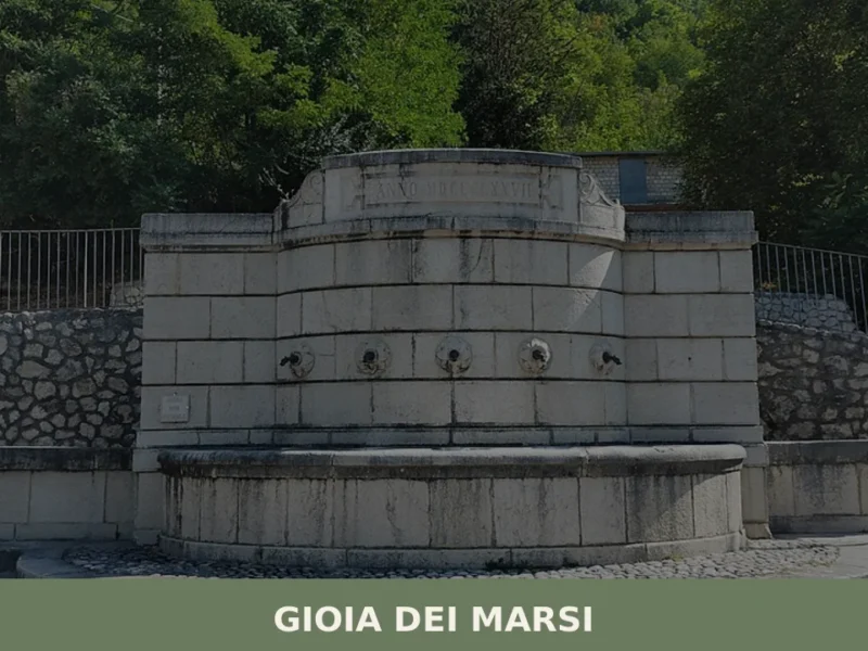
Gioia dei Marsi
Gioia dei Marsi has a population of 2,091 and sits at 725 metres above sea level on the eastern edge of the Fucino, the plain that until 1875 was the largest lake in peninsular Italy. The draining of the lake radically transformed the economy and landscape of this Marsican settlement, shifting its centre of gravity […]
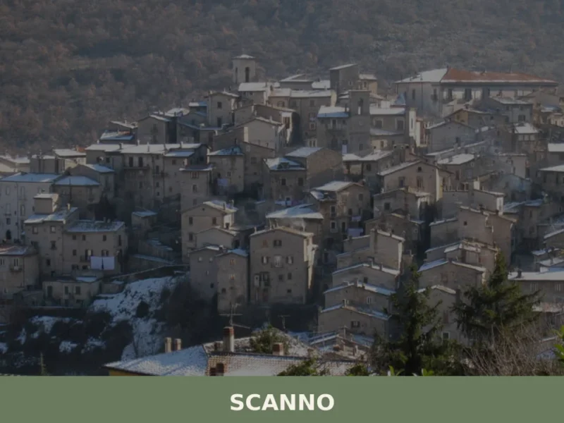
Scanno
what to see in scanno, Italy? Explore this Abruzzese village at 1,050 m (3,445 ft), admire Lago di Scanno and its ancient crafts. Discover more.
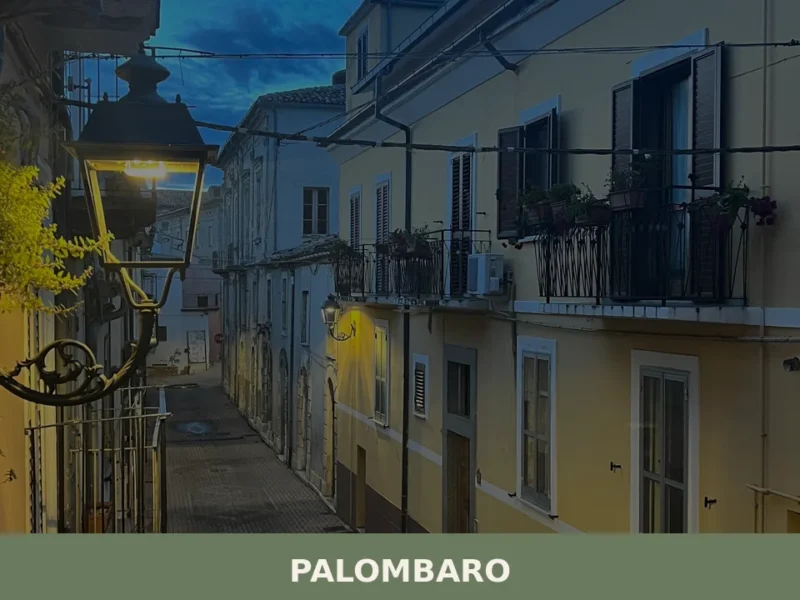
Palombaro
What to see in Palombaro: 5 attractions in this village at 536 m above sea level in the province of Chieti. Discover the historic centre, the medieval tower and the Madonna della Libera festival.
Collelongo
At 915 metres above sea level, in the innermost stretch of the Valle Roveto, Collelongo has 1,108 inhabitants and a position that keeps it close to the Apennine ridges of the province of L’Aquila. In this article History and origins of Collelongo What to See in Collelongo: Main Attractions Traditional cuisine and products of Collelongo […]
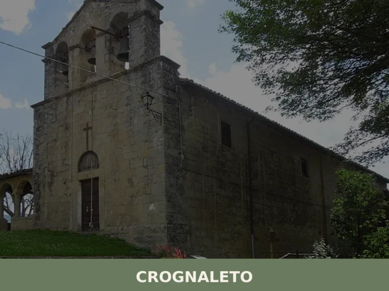
Crognaleto
What to see in Crognaleto, Italy: Discover this 1,094m altitude village in Abruzzo. Explore the Monti della Laga and Gran Sasso National Park.
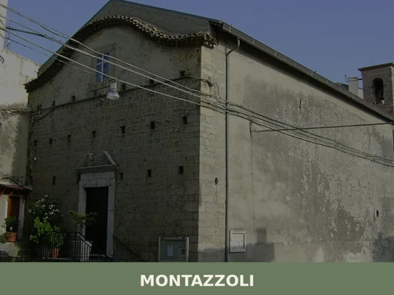
Montazzoli
From the heights of the Chieti area, at 850 meters above sea level, the panorama of Montazzoli unfolds, an Abruzzese village with 836 inhabitants in the province of Chieti. Its stone houses cluster around an ancient fortress, bearing witness to centuries of history and mountain life. In this article History and origins of Montazzoli What […]
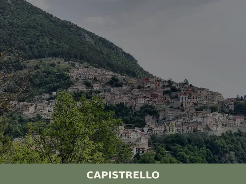
Capistrello
In 1902, a flood of the River Liri devastated the town and forced its inhabitants to rebuild entire neighbourhoods in the upper part of the settlement: that wound redrew the map of Capistrello, a village of 5,309 residents in the Marsica area, standing at 734 metres above sea level in the province of L’Aquila. Anyone […]


🏡 Know Roccacasale better than we do?
If you’re a local or have been there, your knowledge matters: add what’s missing or fix a detail on this page.