


Arlena di Castro
With its 839 registered inhabitants and an elevation of 260 metres above sea level, Arlena di Castro occupies a tuff plateau in the Tuscia area of the Viterbo province, just a few kilometres from the border with the Lazio Maremma. The municipal territory preserves traces of Etruscan presence documented by necropolises and ceramic materials found […]
Discover Arlena di Castro
With its 839 registered inhabitants and an elevation of 260 metres above sea level, Arlena di Castro occupies a tuff plateau in the Tuscia area of the Viterbo province, just a few kilometres from the border with the Lazio Maremma. The municipal territory preserves traces of Etruscan presence documented by necropolises and ceramic materials found in the surrounding countryside. Understanding what to see in Arlena di Castro means crossing a hilly landscape where volcanic stone dictates the forms of architecture and olive oil still marks the rhythm of the agricultural calendar.
History and origins of Arlena di Castro
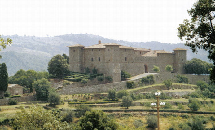
The place name “Arlena” has been traced by several scholars to the Etruscan roots of the territory, although the current form likely derives from a medieval Latinisation. The suffix “di Castro” was added after the Unification of Italy to distinguish the town from other places called Arlena in different regions, and it refers to the historical connection with the nearby Duchy of Castro, a political entity of the Farnese family that between the 16th and 17th centuries reshaped the power dynamics of this part of upper Lazio. The destruction of Castro, ordered by Pope Innocent X in 1649, scattered population and administrative functions across the neighbouring villages, including Arlena itself.
In the Middle Ages, the settlement gravitated within the orbit of Church holdings and baronial families linked to the Papal States. The layout of the town preserves the compact structure of a fortified settlement, with a nucleus of tuff houses pressed against one another and narrow streets converging towards the main church. The transition to direct control of the Holy See, after the fall of the Farnese, led to a long period of economic marginality that paradoxically preserved the original urban layout. For further information on the town’s history, the official municipal website can be consulted.
The surrounding countryside yielded, over the course of the 20th century, archaeological materials attributable to the Etruscan civilisation — in particular funerary goods and ceramic fragments from chamber tombs — confirming a stable presence in the area since the 7th–6th century BC. This stratification, from the Etruscan age to the Farnese period, defines the historical profile of a minor centre that went through the same events as the rest of Tuscia without ever reaching significant urban dimensions.
What to see in Arlena di Castro: 5 main attractions
1. Church of Santa Maria delle Grazie
The main religious building of the village, the church features a tuff façade and a single-nave interior with decorative elements dating to between the 17th and 18th centuries. The high altar presents stucco details and an altarpiece from the Lazio school. It is here that the liturgical celebrations for the feast of San Rocco, the town’s patron saint, take place every 16 August.
2. Historic centre in tuff
The old core of Arlena retains a compact building fabric where the houses, constructed from blocks of local grey-brown tuff, open onto small squares and irregular widenings. The façades display portals with peperino lintels and, in some cases, coats of arms worn by the elements. The walk is short — the entire perimeter can be covered in less than twenty minutes — but the consistency of the building materials is remarkable.
3. Etruscan archaeological areas
In the countryside to the south and west of the settlement, several areas of archaeological interest have been identified, with chamber tombs carved into the tuff bedrock. The recovered materials — impasto ceramics, bucchero ware, bronze objects — have partly entered the collections of the National Etruscan Museum of Villa Giulia in Rome. Access to some areas requires local directions.
4. Town hall and central square
The main square of the village houses the town hall building, a sober structure that reflects the small size of the community. The space in front serves as a daily gathering point and as a stage for summer celebrations. From here, the layout of the town along the ridge becomes clear and, on clear days, the view extends to the hills towards Lake Bolsena.
5. Hilly landscape and olive groves
The municipal territory is marked by olive cultivation that remains active, with Canino and Leccino varieties planted on south-facing slopes. The unpaved paths that depart from the town centre cross cultivated fields, low Mediterranean scrub, and tuff outcrops. The modest elevation change makes the walks accessible even to those without specific hiking experience.
Traditional cuisine and local products
The table in Arlena di Castro follows the repertoire of the Viterbo Tuscia, with a strong peasant imprint. Acquacotta — a soup of stale bread, wild greens, egg, and pecorino — is the most common dish in the local domestic tradition. Handmade fettuccine, dressed with wild boar or hare sauce, appear on the menus of trattorias in the area, as does lamb offal prepared during the Easter period. Bread baked in a wood-fired oven, often without salt according to central Italian custom, accompanies nearly every meal.
The flagship product is Tuscia DOP extra virgin olive oil, obtained from olives harvested between October and November. Pressing takes place in local mills, some of which are still operating in neighbouring municipalities. The picture is completed by semi-cooked sheep’s milk cheeses, sulla honey, and tomato preserves prepared in summer. There are no upscale restaurants in the village, but the few dining establishments present work with locally sourced ingredients, maintaining generous portions and moderate prices.
When to visit Arlena di Castro: the best time
The 16th of August, the feast of San Rocco, is the date that concentrates the public life of the village: a religious procession, market stalls along the main street, and a communal dinner in the square. The event coincides with the period of greatest presence in the town, when residents who have moved elsewhere and descendants of emigrants return for the summer holidays. In the surrounding days, food festivals linked to local products are organised, with annual variations in the programme.
From a climatic standpoint, spring (April–May) and autumn (September–October) offer more favourable conditions for exploring the territory on foot: temperatures between 15 and 25 degrees, and the absence of the intense heat that in July and August can exceed 35 degrees on the tuff plain. The olive harvest period, between late October and November, allows visitors to observe an agricultural activity that is still genuine and not recreated for tourism purposes. Winter is mild compared to Apennine towns, but the village enters a quiet phase with services reduced to a minimum.
How to reach Arlena di Castro
By car, from Rome (approximately 120 km), take the A1 motorway towards Florence, exit at Orte, and continue on the E45 dual carriageway towards Viterbo, then along the SP Tuscanese and the provincial roads in the direction of Tuscania–Arlena. From Viterbo the distance is about 35 km, with a travel time of 40–45 minutes on single-carriageway provincial roads.
The nearest railway station is Montalto di Castro, on the Tyrrhenian line between Rome and Grosseto, from which you need to continue by private vehicle or taxi for approximately 20 km. The reference airport is Rome Fiumicino, about 140 km away. There are no local public transport services with a frequency useful to visitors: a car is essentially indispensable. For up-to-date information on events and services, the dedicated page on Touring Club Italiano can be consulted.
What to see in Arlena di Castro and in nearby Lazio villages
The territory between Lake Bolsena and the Tyrrhenian coast concentrates a series of minor centres that share with Arlena the same tuff matrix and the same agricultural economy. To the northeast, Latera sits on the western slope of the volcanic caldera of Lake Bolsena, approximately 25 km away. Its historic centre, dominated by the Farnese palace, and the surrounding countryside cultivated with lentils and potatoes offer a direct complement to an itinerary starting from Arlena, with a landscape that changes noticeably as you climb towards the crater rim.
Heading east, towards the eastern shore of the lake, Lubriano occupies a promontory overlooking the Valley of the Calanchi, approximately 30 km from Arlena. From there, the gaze falls on the silhouette of Civita di Bagnoregio, visible in its entirety. Connecting the two villages in a single day trip is feasible and allows you to cross Tuscia from west to east, moving from a landscape of olive groves and scrub to one of eroded clay and deep gorges — two geological sides of the same province.
Frequently asked questions about Arlena di Castro
Is Arlena di Castro feasible as a day trip from Rome or Viterbo?
Yes. From Rome the drive takes roughly 90 minutes (about 120 km via the A1 motorway, Orte exit, then the E45 and provincial roads). From Viterbo the journey is around 40–45 minutes across 35 km of single-carriageway provincial roads. The historic centre can be walked in under twenty minutes, so a half-day is technically sufficient; combining it with nearby Tuscania or Latera makes a full day trip worthwhile.
Is there parking available in Arlena di Castro?
The village sits on a compact tuff plateau with a limited road network inside the old centre. Visitors generally park along the approach roads at the edge of the built-up area before continuing on foot. Given the small size of the settlement — fewer than 850 inhabitants — finding roadside space outside peak summer weekends and the 16 August feast of San Rocco is not normally difficult.
What Etruscan finds from Arlena di Castro can be seen in a museum?
Archaeological excavations in the countryside south and west of the village uncovered chamber tombs cut into the tuff, together with impasto ceramics, bucchero ware and bronze objects. Part of this material entered the collections of the National Etruscan Museum of Villa Giulia in Rome, making that museum the most accessible public venue where finds connected to the Arlena di Castro territory can be studied.
What is the historical connection between Arlena di Castro and the Farnese family?
The suffix 'di Castro' in the town's name refers to the Duchy of Castro, a Farnese political entity that controlled much of upper Lazio in the 16th and 17th centuries. When Pope Innocent X ordered the total destruction of the city of Castro in 1649, population and administrative functions dispersed across neighbouring settlements including Arlena. The suffix was formally attached to the name after Italian Unification to distinguish the town from other places sharing the same root toponym.
Getting there
Piazza San Giovanni, 1010 Arlena di Castro (VT)
Nearby Villages near Arlena di Castro
In Lazio More villages to discover
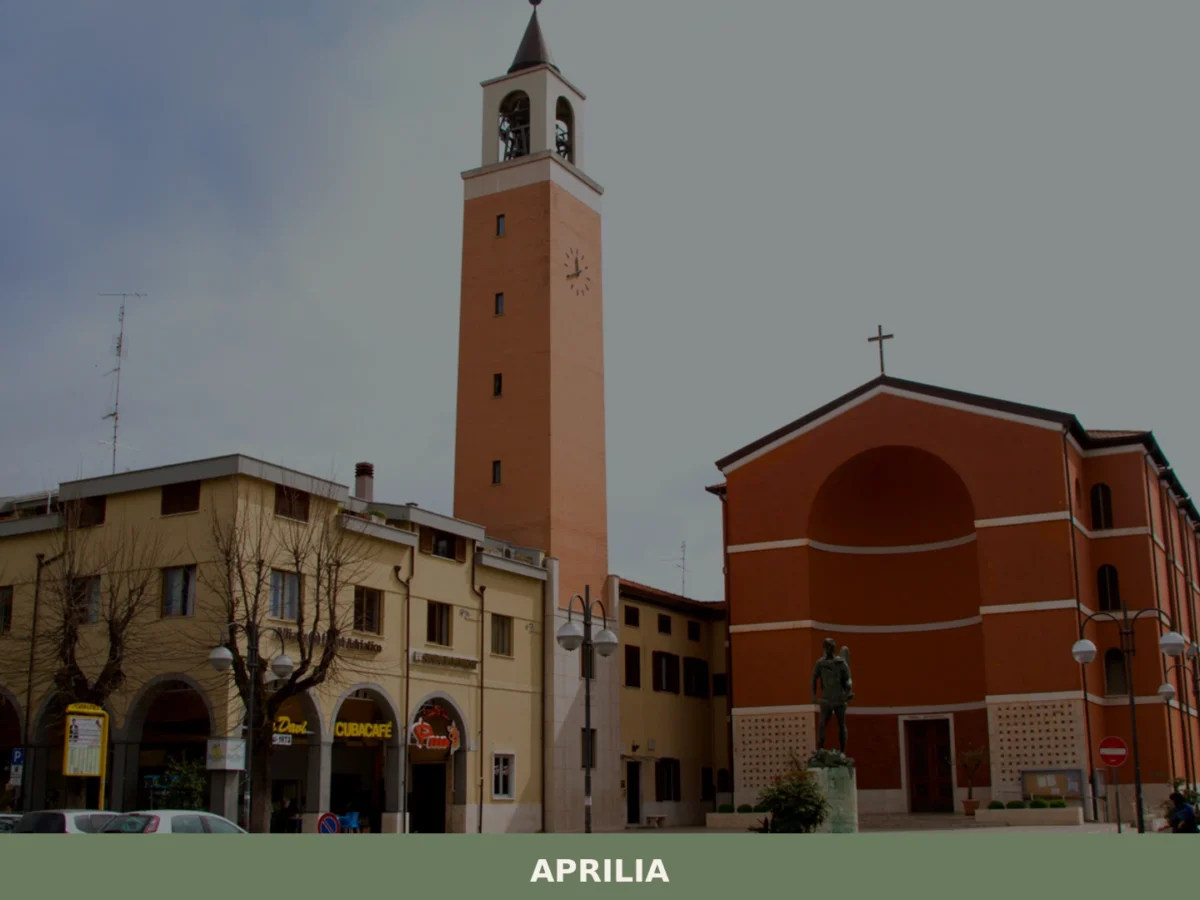
Aprilia
What to see in Aprilia? Explore 5 unique attractions in this Lazio village. Discover its historic origins and hidden gems. Plan your visit now!
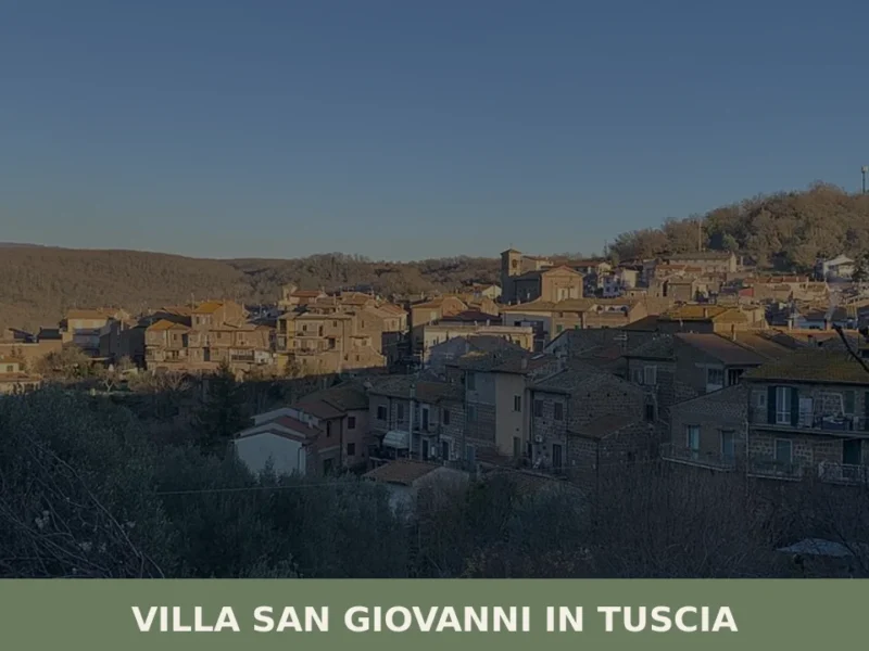
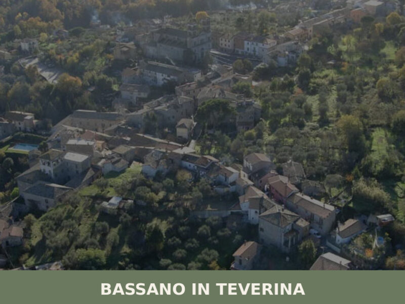
Villa San Giovanni in Tuscia
Villa San Giovanni in Tuscia has 1,196 inhabitants spread across a hilly territory at 329 metres above sea level, in the province of Viterbo. The settlement preserves a compact layout dating back to the feudal reorganisation of the late Middle Ages, when the village was under the control of baronial families that ruled upper Lazio. […]
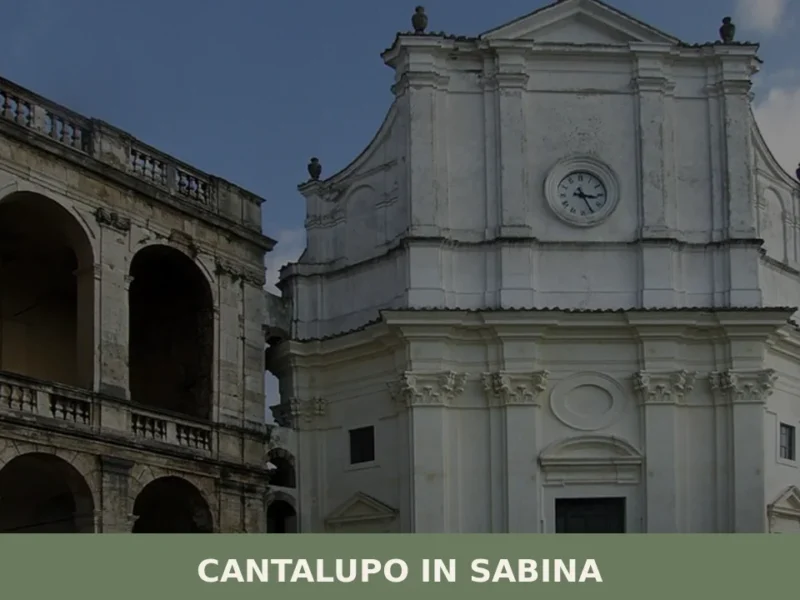
Cantalupo in Sabina
What to see in Cantalupo in Sabina: a hill village at 297 m in Rieti with 1,738 residents. Explore the medieval centre, the San Biagio feast and PAT-certified guanciale. Plan your visit now.
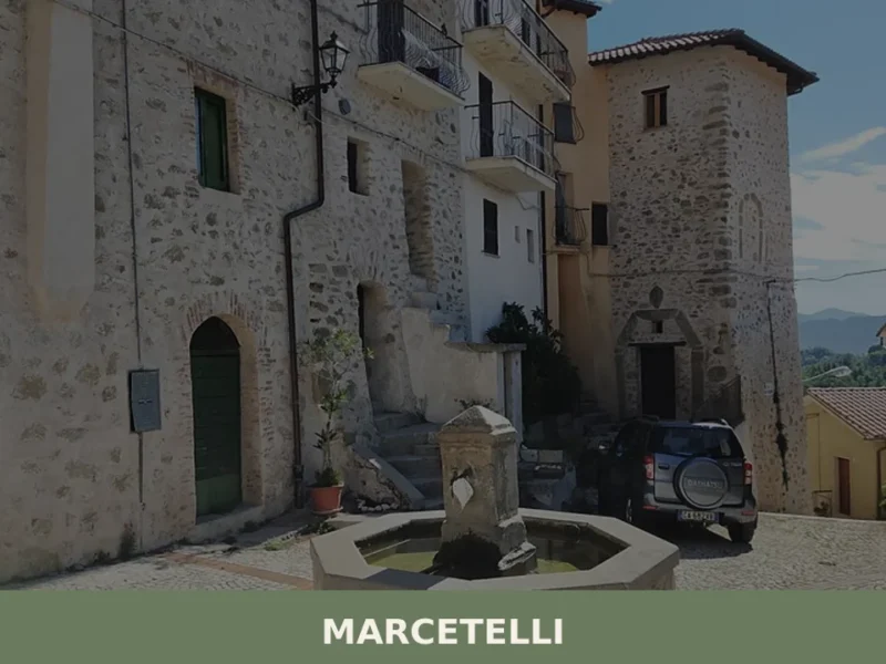
Marcetelli
What to see in Marcetelli, a village at 930m in Rieti province with 82 residents. Explore Lago del Salto, the Church of San Venanzio and PAT-certified Guanciale amatriciano. Plan your visit now.
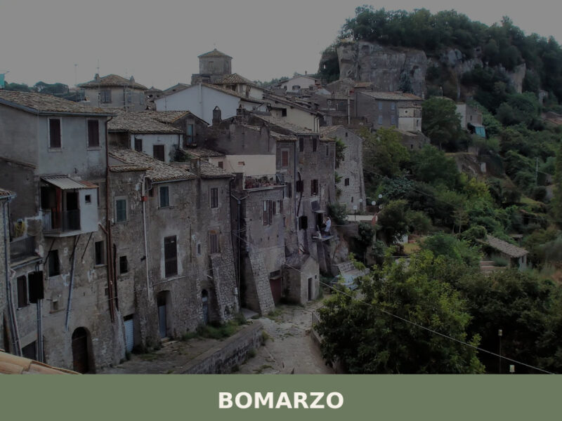
Bomarzo
A tufa-carved village of 1,674 inhabitants in northern Lazio, Bomarzo hides Renaissance monsters, Etruscan ruins, and one of Italy's most unsettling gardens.
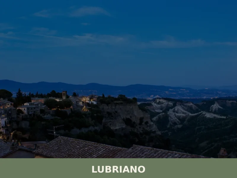
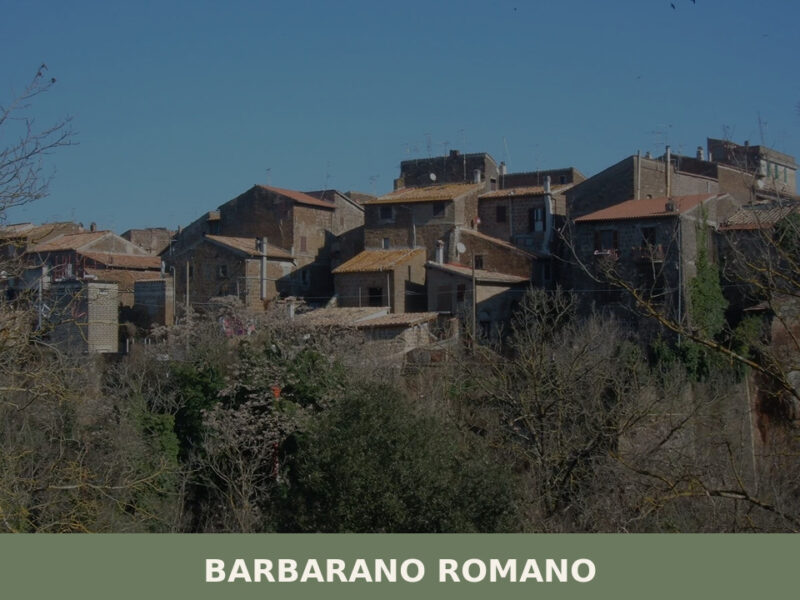
Lubriano
Lubriano has 864 inhabitants and occupies a tuff plateau at 441 metres above sea level, separated from the more famous Civita di Bagnoregio by a calanchi valley nearly two hundred metres deep. The municipal boundary runs along the edge of a gorge that geologists classify as one of the most active in Tuscia for erosion. […]
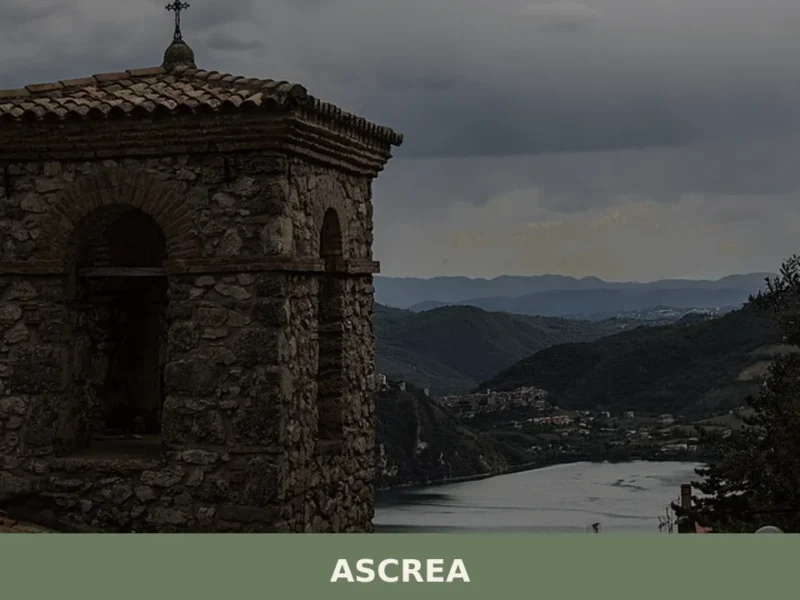
Ascrea
What to see in Ascrea: a mountain village at 757 m in the province of Rieti with 261 residents. Discover the church of San Nicola, PAT-certified products and how to get there.
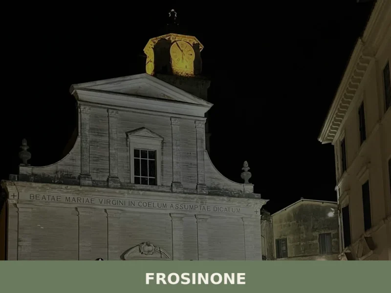
Frosinone
What to see in Frosinone: from the Cyclopean walls to the medieval old town. Discover the 5 top attractions and plan your visit.
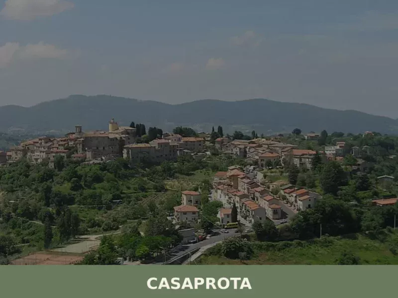
Casaprota
Discover Casaprota, a charming village in Lazio, Italy. Explore its history, culture, and scenic landscapes in the heart of the Italian countryside.
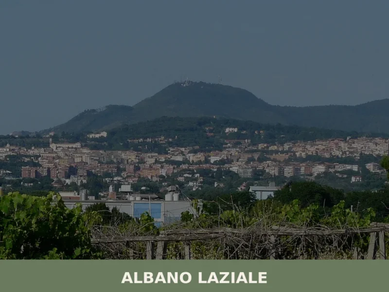
Albano Laziale
What to see in Albano Laziale, Italy: Lake Albano, Roman catacombs, and the Cathedral of St. Pancras at 400 m. Explore 38,983-inhabitant Lazio hill town. Discover now.


🏡 Know Arlena di Castro better than we do?
If you’re a local or have been there, your knowledge matters: add what’s missing or fix a detail on this page.