


Terracina
44,000 residents, one ancient temple on a cliff, and centuries of Roman, medieval and papal history waiting along the Tyrrhenian coast.
Terracina: Where a Roman Temple Looks Down on the Sea
A limestone cliff rises 226 metres above the Tyrrhenian shore, and on its summit the columns of an ancient temple catch the morning light before the rest of the town has fully woken up. Below, the old town steps down from the rock toward a seafront that opens onto the Gulf of Gaeta, while the massive spur of Pisco Montano — cut clean by Roman engineers — marks the southern edge of the urban fabric like a blade of pale stone.
Terracina village in Lazio draws visitors with two distinct forces: the gravitational pull of its Roman and medieval monuments, and the long Tyrrhenian coastline that stretches from the eastern beach to the Lungomare Circe to the west. Set at 22 metres above sea level in the Agro Pontino, on the southern fringe of the Pontine plain near the mouth of the Amaseno river, it belongs to the province of Latina and counts around 44,000 residents — a town large enough to have a real urban rhythm, yet compact enough to read on foot in a single day.
Layers of a Long Past: From Volscian Stronghold to Papal Reform
The city’s name itself accumulates history like sediment. Etruscan sources recorded it as Trachna, a term connected to the Tarquinian sphere of influence; the Greeks rendered it as Tarracina; the Volsci, who held it and gave it real urban weight, called it Anxur. Around these names a mythology grew: some ancient writers identified the place with the home of Circe, others with the harbour of the Laestrygonians where Ulysses put in, a reading encouraged by the natural configuration of the site — a port pressed between rocks, the city high above. Dionysius of Halicarnassus recorded a tradition of Spartan refugees who founded a sanctuary at the foot of Monte Leano, a sacred place to the goddess Marica mentioned also in Virgil’s Aeneid. These are traditions, not established facts, but they signal how the ancient world perceived Terracina: a threshold place, mythologically charged.
Roman history here is dense and well documented. The city appeared in early Roman-Carthaginian diplomatic records, a sign of how early it registered in Mediterranean geopolitics. The Volsci took it and held it; Rome reconquered it twice before establishing a stable colony in 329 BC. The decisive transformation came in 312 BC when the Via Appia was laid through the city, redirecting trade, movement and ambition along this stretch of coast. Republican-era interventions followed: a coastal road, drainage works, and then, under Lucius Cornelius Sulla in the early first century BC, a theatre and a dramatic reconstruction of the hilltop sanctuary. The emperor Trajan later ordered the Pisco Montano spur to be cut back to ease traffic on the Appian road — the measurement marks carved into the rock face are still visible today.
The medieval centuries brought a different kind of turbulence. Gregory the Great concerned himself with the city’s monastery, its Jewish community and its walls. Arab pirates sacked it in 883. The election of Pope Urban II took place here in 1088. Rival Roman families — the Crescenzi, the Frangipane, the Annibaldi, the da Ceccano — fought over it for generations until a popular revolt in 1202 expelled the Frangipane and briefly established a commune. Genoese protection brought relative stability in the fourteenth century. By 1499, Pope Alexander VI had imposed a final pacification. In 1534 Ottoman forces raided the town. By 1572, malaria had reduced the population to roughly 150 inhabitants. Recovery came slowly, through papal land grants and tax exemptions in the seventeenth century. Then, from 1785, Pope Pius VI launched a thorough urban restructuring: a navigable canal connecting the port to the Portatore river at Badino, a new residential quarter called Borgo Pio, and works carried out for his family.
The Places That Define Terracina
Temple of Jupiter Anxur
On the summit of Monte Sant’Angelo, at 226 metres above sea level, the remains of this Roman sanctuary command a view that takes in the Gulf of Gaeta, the Pontine plain and the promontory of Circeo. The current monumental form owes its theatrical appearance to works carried out under Sulla in the early first century BC, when the hilltop was reshaped with vaulted substructures and an open terrace. The temple is the visual anchor of the entire town.
Pisco Montano
This isolated limestone outcrop, standing at 128.8 metres, was partially carved away on the orders of the emperor Trajan to smooth the passage of the Via Appia around the headland. The cut faces are marked with Roman numeral gradations — a rare and legible trace of ancient road engineering still readable on the rock surface. It stands at the southeastern boundary of the old town, a geological and historical landmark in one.
The Roman Forum and the Cathedral of San Cesareo
The medieval cathedral of San Cesareo, patron saint of Terracina, was built directly over the ancient Roman forum, reusing the pavement, columns and spatial logic of the earlier public space. The superimposition is unusually clear: Roman stonework emerges beneath and around the medieval church, making the piazza a place where two very different urban epochs are physically present at the same time. The patron’s feast draws the town together each year in a celebration that connects civic and religious identity.
Borgo Pio and the Canal
The late eighteenth-century urban expansion commissioned by Pope Pius VI added a new layer to the lower town. A wide navigable canal was cut to link the sea port with the Portatore river at Badino, and around it a residential quarter — Borgo Pio — was built with a regularity that reflects Enlightenment planning ideals.
The Coastline: Eastern Beach and Lungomare Circe
The municipality’s coastline runs from the eastern beach, facing the open Tyrrhenian, to the western Lungomare Circe facing the promontory of Circeo. The Mediterranean climate — hot dry summers peaking in August, mild winters rarely below 2°C — makes the coast usable across a long season. The rivers Amaseno, Ufente and Portatore all converge and reach the sea within or near the municipal territory, giving the coastal landscape a wetland edge that contrasts with the limestone hills above.
Eating Along the Tyrrhenian Edge
Terracina sits where the Pontine agricultural plain meets the sea, and that geography shapes what ends up on the table. The coastal position has historically supported fishing activity along the Gulf of Gaeta, while the reclaimed lowlands behind the town sustain vegetable cultivation and small-scale farming. The river mouths and the wetland strips near Badino add a freshwater dimension to a larder that is fundamentally maritime. Visitors will find trattorias and seafront restaurants oriented firmly toward what the sea and the surrounding plain produce, without heavy mediation.
Planning a Visit to Terracina
The Mediterranean climate makes Terracina a year-round destination, though the logic of a visit shifts significantly by season. July and August bring the most reliable sunshine — clear skies account for roughly 89 percent of daylight hours in July — and the beaches fill accordingly. The shoulder months of May, June, September and October offer warmth without the peak-season density, and the light in autumn is particularly good for reading the colour of the limestone monuments. November is the rainiest month, averaging around 98 millimetres, but the town does not close down: the historic centre and the hilltop sanctuary remain accessible and considerably quieter.
The old town rewards a slow approach on foot. Start from the lower town and the canal quarter, move through the forum piazza with the cathedral, then climb toward the Monte Sant’Angelo summit for the temple. The Pisco Montano outcrop is best seen from the road skirting its base. If you arrive by car, parking is available near the seafront and at the base of the hill; the ascent to the temple involves a steep road and can also be done on foot via paths through the upper town. Visitors coming from Rome along the Via Appia Nuova follow, in broad terms, the same corridor Romans used when this coast was the empire’s port of entry.
The surrounding Lazio territory offers further context for a longer stay. The provincial capital Latina lies to the north across the Pontine plain, while Amaseno, whose river reaches the sea near Terracina, sits inland toward the Lepini hills. Those interested in the broader Lazio network can also explore Frosinone to the northeast or Aprilia to the north.
| Departure | Distance | Time |
|---|---|---|
| Rome | approx. 100 km | 1 h 15 min by car (A1 + SS7 Appia) |
| Naples | approx. 120 km | 1 h 30 min by car (A1 north) |
| Latina | approx. 50 km | 45 min by car (SS148) |
| Frosinone | approx. 80 km | 1 h by car (SS156 + SS7) |
For official information on events, access and local services, the municipal website at comune.terracina.lt.it provides current updates on the town’s calendar and practical logistics.
Frequently asked questions about Terracina
Come si arriva a Terracina in auto o in treno?
In auto, si percorre l'Autostrada A1 fino a Frosinone, poi la SS156 dei Monti Lepini, oppure la Via Appia (SS7) da Roma, circa 100 km. L'uscita più comoda è Terracina sulla SS7. In treno, la stazione di Terracina si trova sulla linea Roma–Napoli via Formia (FL7 Trenitalia); da Roma Termini il viaggio dura circa 1h40. Da Latina sono disponibili anche collegamenti in autobus con Cotral.
Qual è il periodo migliore per visitare Terracina?
La primavera (aprile–giugno) e l'inizio dell'autunno (settembre–ottobre) offrono clima mite, spiagge meno affollate e monumenti visitabili con comodità. L'estate è ideale per il mare ma molto frequentata. La festa del patrono San Cesareo si celebra il 1° novembre, animando il centro storico con riti religiosi e tradizioni locali. In luglio e agosto si tengono eventi estivi sul lungomare e nelle piazze del centro.
Esistono percorsi naturalistici o ciclabili documentati nei dintorni di Terracina?
Sì. Il Parco Nazionale del Circeo, confinante con il territorio di Terracina, offre sentieri CAI segnalati sul Promontorio del Circeo, tra cui il percorso per la Cima del Monte Circeo (541 m). È presente inoltre una pista ciclabile sul lungomare. Il sentiero della Via Appia Antica nei pressi di Terracina è percorribile a piedi o in bici, con tratti basolati originali romani ancora visibili.
Quanto tempo occorre per visitare Terracina e dove si parcheggia?
Una giornata intera è sufficiente per visitare il centro storico, il Foro Emiliano e la sommità con il tempio. Sono disponibili parcheggi a pagamento lungo il lungomare e nelle aree periferiche del centro. In alta stagione si consiglia di arrivare la mattina presto per trovare posto. Il centro storico alto è raggiungibile a piedi dal basso con una passeggiata di circa 15–20 minuti su strade lastricate.
C'è una curiosità storica su Terracina legata al suo antico nome Anxur?
Secondo la mitologia romana, Anxur era il nome di un giovane dio italico associato a Giove, venerato dai Volsci. La città era anche nota come Anxur nella letteratura latina: Orazio la menziona nelle Satire (I, 5) durante il racconto del viaggio Roma–Brindisi, descrivendola come una località luminosa sul mare. Questo la rende una delle poche città italiane citate esplicitamente da Orazio in un'opera letteraria classica.
📷 Photo Gallery — Terracina


In Lazio More villages to discover
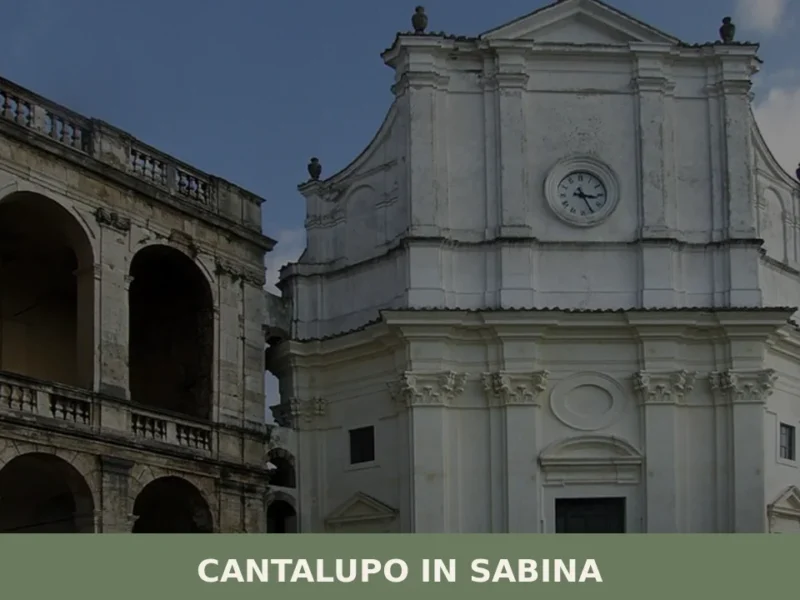
Cantalupo in Sabina
What to see in Cantalupo in Sabina: a hill village at 297 m in Rieti with 1,738 residents. Explore the medieval centre, the San Biagio feast and PAT-certified guanciale. Plan your visit now.
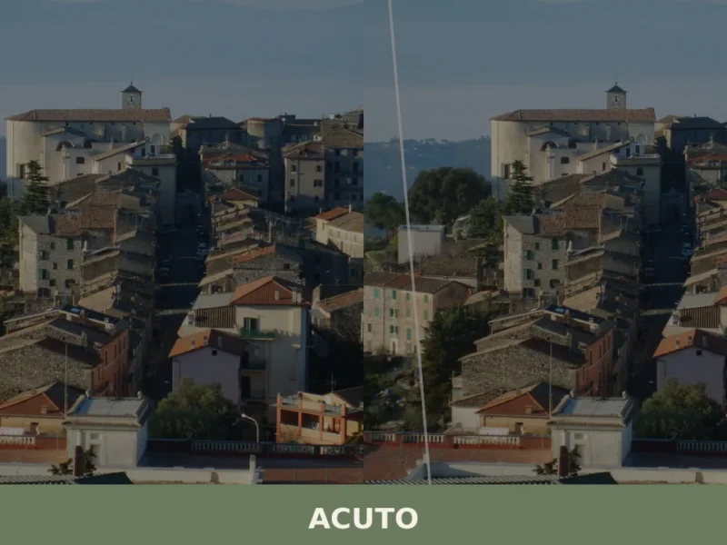
Acuto
What to see in Acuto, Lazio, Italy: explore a hilltop village at 680 m with the birthplace of a Catholic founder and Monti Ernici views. Discover it all here.
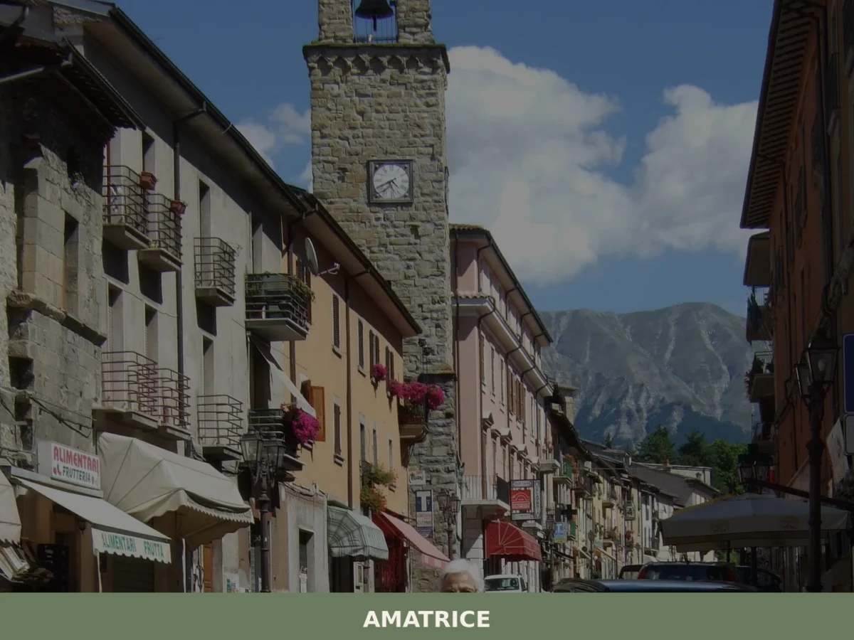
Amatrice
What to see in Amatrice? Explore the 5 main attractions of this village in Lazio. The complete guide awaits you with useful tips. Plan your visit!
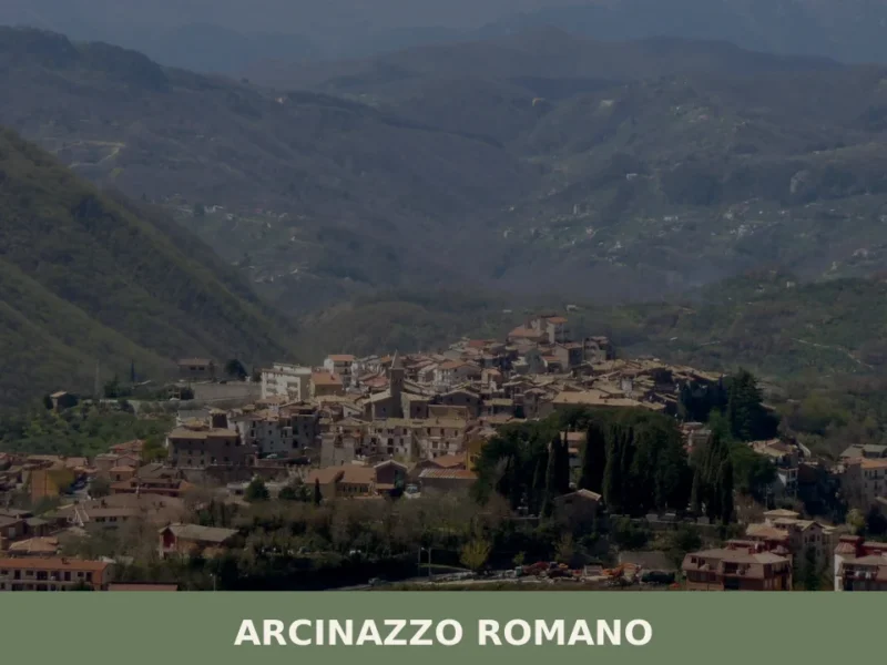
Arcinazzo Romano
What to see in Arcinazzo Romano, Lazio, Italy: explore Trajan's Villa ruins at 831 m altitude, the plateau landscape and local traditions. Discover the complete guide.
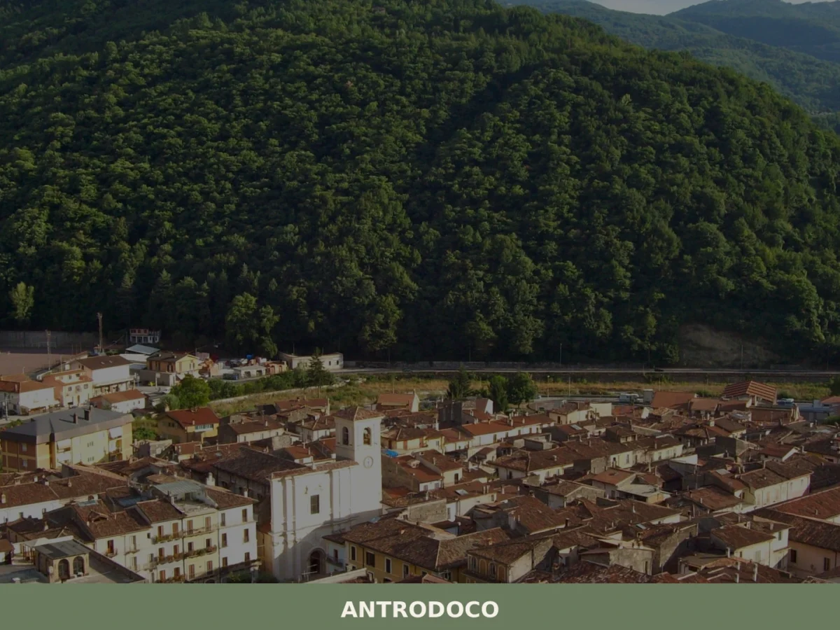
Antrodoco
What to see in Antrodoco: discover the 5 main attractions, the history of this Lazio village and how to plan your visit. A complete guide for your itinerary.
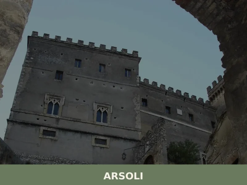
Arsoli
What to see in Arsoli, Lazio, Italy: a castle from the 11th century, medieval streets at 666 m altitude, and a Roman aqueduct. Discover the complete guide.
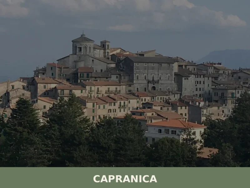
Capranica
Capranica, a Lazio village between history and nature: discover what to see, how to get there and the top places to visit. Plan your trip with this guide.
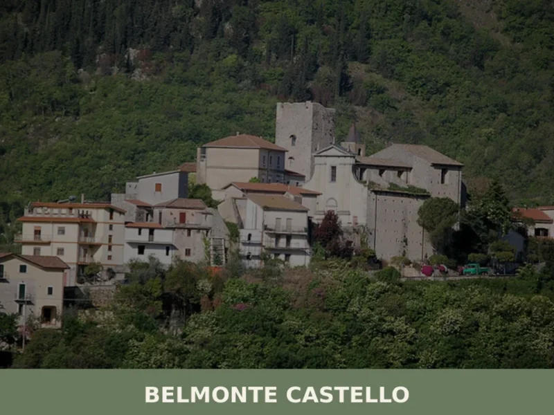
Belmonte Castello
What to see in Belmonte Castello: discover the 5 main attractions of this Lazio village, from the medieval castle to the Church of San Salvatore. Plan your visit.
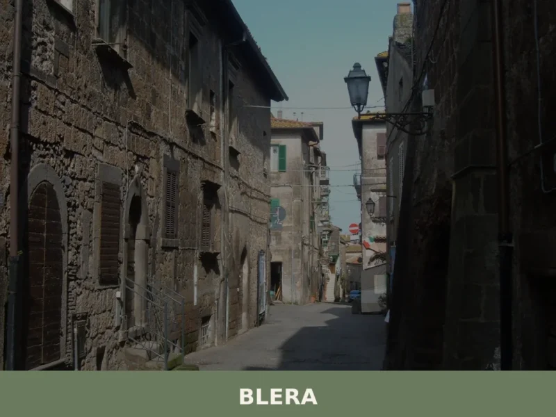
Blera
What to see in Blera, Lazio, Italy: Etruscan rock tombs, Via Clodia bridges, and a town at 270 m altitude. Explore history, food, and travel tips. Discover now.
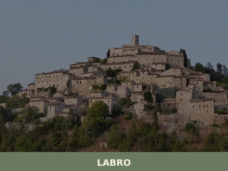
Labro
What to see in Labro: medieval castle, Lake Piediluco views and PAT-certified guanciale in a 360-person village at 628 m. Plan your visit to this Rieti province gem.


🏡 Know Terracina better than we do?
If you’re a local or have been there, your knowledge matters: add what’s missing or fix a detail on this page.