


Lubriano
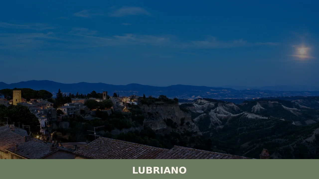
Lubriano has 864 inhabitants and occupies a tuff plateau at 441 metres above sea level, separated from the more famous Civita di Bagnoregio by a calanchi valley nearly two hundred metres deep. The municipal boundary runs along the edge of a gorge that geologists classify as one of the most active in Tuscia for erosion. […]
Discover Lubriano
Lubriano has 864 inhabitants and occupies a tuff plateau at 441 metres above sea level, separated from the more famous Civita di Bagnoregio by a calanchi valley nearly two hundred metres deep. The municipal boundary runs along the edge of a gorge that geologists classify as one of the most active in Tuscia for erosion. Understanding what to see in Lubriano means first of all observing this geological fact: a village built on a platform of volcanic tuff that loses, year after year, fragments of itself into the valley below. The province of Viterbo administers it, but the landscape here belongs more to geology than to bureaucracy.
History and origins of Lubriano
The earliest traces of settlement in the area date back to the Etruscan period: rock-cut chamber tombs carved into the tuff, found along the slopes of the calanchi valley, indicate stable occupation from at least the 6th–5th century BC. The name “Lubriano” likely derives from the Roman gentile name Lubrianus, linked to a landed estate from the imperial age. The continuity of the place name suggests that the site did not experience prolonged periods of abandonment between the Roman era and the early Middle Ages.
In the 12th century, Lubriano appears in documents as a possession of the lords of Bisenzio, a feudal family active in the Lake Bolsena area. It later passed under the control of the Monaldeschi della Cervara, a branch of the powerful Orvietan house that dominated much of southern Tuscia. In 1354, Cardinal Albornoz, engaged in reconquering papal territories, included Lubriano in the operations to subdue the feudal holdings of Lazio. From that point, the village remained under the administration of the Papal States until Italian Unification, with an interlude under the Farnese family in the 16th century, when it was absorbed into the Duchy of Castro.
The destruction of Castro in 1649 by order of Pope Innocent X returned Lubriano to the Apostolic Chamber. From that moment, the village followed the administrative fortunes of the Patrimony of St Peter in Tuscia, with no further significant feudal transfers. The current urban layout — a compact nucleus along a main road with perpendicular side alleys — preserves the 13th-century plan, partly modified by 17th-century interventions visible in the window frames and peperino doorways.
What to see in Lubriano: churches, viewpoints and calanchi
Church of San Giovanni Battista
Dedicated to the patron saint of the village, celebrated on 24 June, this parish church has a single-nave plan with 18th-century modifications to the façade. Inside are a stucco altar and canvases from the Lazio school datable to the 17th and 18th centuries. Its position, at the highest point of the village, makes it a visual landmark from every angle.
Calanchi viewpoint
The main panoramic viewpoint is reached from the village square. From here, the view crosses the Valle dei Calanchi all the way to Civita di Bagnoregio, visible in its entirety along with the pedestrian bridge that connects it to the outside world. The calanchi formation, generated by the erosion of Pliocene clays beneath the tuff layer, changes its profile with each season, taking on grey tones in winter and ochre in summer.
Medieval entrance gate
Entry to the historic centre passes through an opening in the 13th-century walls, partially incorporated into later buildings. The tuff arch, with regular ashlar blocks, marks the transition between the provincial road and the old built fabric. The peperino blocks at the base indicate an earlier foundation, possibly from the 12th century.
Trail through the Valle dei Calanchi
A hiking trail starts from the western slope of the village and descends into the valley along an unpaved route of roughly three kilometres. The elevation change is approximately 200 metres. Along the way, exposed geological stratifications can be observed — blue clays, yellow sands, lithoid tuff — along with vegetation of broom, downy oak and lentisk colonising the less eroded slopes.
Town hall and central square
The municipal seat occupies a building renovated in the 19th century, with a plastered façade and a peperino portal. The square in front, modest in size, functions as the village’s only public space. The patron saint festivities in June and the weekly market are held here. The central fountain, fed by a local spring, bears a date from the late 1800s.
What to see in Lubriano: food and local produce
Lubriano’s cuisine follows the repertoire of the Viterbo Tuscia area with certain specificities linked to its hill-country altitude. Pulses — lentils and chickpeas — grow in the surrounding volcanic soils and appear in winter soups, often cooked in terracotta pots with celery, garlic and local extra virgin olive oil. The oil produced in the area belongs to the Tuscia cultivation zone, with Caninese and Frantoio as the prevailing cultivars. The local bread, wood-fired and salt-free in accordance with central Italian tradition, accompanies artisanally produced cured meats — capocollo, guanciale, and sausages aged in tuff cellars.
The potato of the Upper Lazio area finds favourable terrain here: the volcanic soils, well-draining and rich in potassium, yield tubers with firm flesh, used in handmade gnocchi and in frittatas with mentuccia (wild mint). The trattorias in the village — two or three in the historic centre — serve acquacotta, the peasant soup based on wild greens, egg and stale bread, and handmade pasta (lombrichelli or pici) dressed with wild boar ragù or porcini mushrooms gathered in the surrounding oak woods. The local wine is the Est! Est!! Est!!! di Montefiascone DOC, produced just a few kilometres away on the hills around Lake Bolsena.
When to visit Lubriano: the best time
The climate at 441 metres above sea level follows the hill-country pattern of Tuscia: hot but ventilated summers (average July temperatures around 25–27 °C), cold winters with possible overnight frosts between December and February. The most favourable season for observing the calanchi is late spring — May and June — when the dry clays reveal their stratifications with greater clarity and the valley vegetation is at peak bloom. Autumn, between October and November, offers better visibility towards Civita di Bagnoregio thanks to clearer air after the first rains.
The feast of San Giovanni Battista, on 24 June, is the moment of greatest communal liveliness: a procession, bonfires and a collective dinner in the square. In August, a food festival dedicated to local products draws visitors from neighbouring municipalities. For those planning to walk the calanchi trail, it is advisable to avoid the months of heavy rain — November and March — when the clay terrain becomes slippery and unstable.
How to get to Lubriano
Lubriano is reached by car from the A1 motorway: exit at Orvieto, then take the SS71 towards Bolsena and turn onto the SP Teverina. The distance from Orvieto is approximately 20 kilometres, covering a drive of 25–30 minutes. From Viterbo, the provincial capital, the distance is around 35 kilometres along the Cassia bis regional road and then the provincial road to Bagnoregio.
The nearest railway station is Orvieto, on the Rome–Florence line (slow service), connected to the village only by private car or taxi. There are no direct public transport links with a frequency suited to day-trip tourism. The reference airport is Rome Fiumicino, approximately 150 kilometres away (about one hour and forty minutes by car via the A1). Roma Termini station is roughly 130 kilometres away. A free car park is located at the entrance to the village, before the medieval gate.
Other villages to discover in Lazio
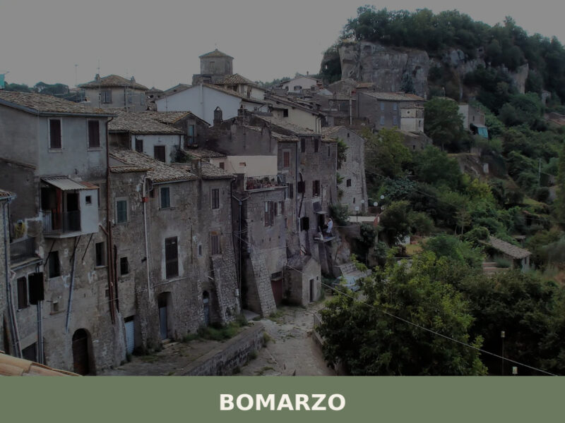
The Viterbo Tuscia area concentrates within a few square kilometres a density of villages that share the same volcanic substrate and a common feudal history. To the northwest of Lubriano, towards the Tyrrhenian coast, Arlena di Castro occupies a hilltop position in the territory of the ancient Etruscan city of Castro, destroyed in 1649. The village retains traces of that period and a compact built fabric that warrants a stop during an itinerary through southern Tuscia.
In the opposite direction, towards Lake Bolsena, Gradoli stands out for its 16th-century Palazzo Farnese and the Festa del Purgatorio, one of the best-documented gastronomic events in the province of Viterbo. The two villages, together with Lubriano, form a visiting triangle that covers three different aspects of the territory: the geology of the calanchi, Etruscan-Farnese archaeology, and the lakeside culture of Bolsena. The distance between the three centres does not exceed thirty kilometres, easily covered on provincial roads with light traffic.
Frequently asked questions about Lubriano
What is the best time to visit Lubriano?
Late spring — May and June — is ideal for walking the calanchi trail and admiring the Valle dei Calanchi, when dry clays reveal their geological stratifications and valley vegetation is in full bloom. Autumn, October to November, offers the clearest views towards Civita di Bagnoregio. The feast of San Giovanni Battista on 24 June is the village's liveliest event, with a procession, bonfires and a communal dinner in the square. August hosts a food festival dedicated to local products. Avoid November and March for trail walking, as clay terrain becomes slippery after heavy rain.
What are the historical origins of Lubriano?
Lubriano's origins date to the Etruscan period, with rock-cut chamber tombs in the calanchi valley indicating settlement from the 6th–5th century BC. The name likely derives from the Roman gentile name Lubrianus, linked to an imperial-era estate. In the 12th century the village was held by the lords of Bisenzio, then by the Monaldeschi della Cervara. Cardinal Albornoz incorporated it into the Papal States in 1354. A Farnese interlude followed in the 16th century as part of the Duchy of Castro, before its destruction in 1649 returned Lubriano permanently to the Apostolic Chamber.
What to see in Lubriano? Main monuments and landmarks
The Church of San Giovanni Battista, at the village's highest point, features an 18th-century façade, a stucco altar and 17th–18th-century canvases. The 13th-century medieval entrance gate, with its tuff arch and peperino base blocks, marks the entry to the historic centre. The central square hosts the municipal building with a 19th-century plastered façade and a peperino portal. The main panoramic viewpoint, reached from the square, offers a full view of the Valle dei Calanchi and Civita di Bagnoregio with its pedestrian bridge. Access to the historic centre is free; the car park is located before the medieval gate.
What are the main natural or scenic attractions of Lubriano?
The Valle dei Calanchi is the village's defining natural attraction — one of the most active erosion landscapes in Tuscia, formed by Pliocene clays beneath a volcanic tuff layer. A hiking trail descends from the western slope of the village into the valley over approximately three kilometres, with a 200-metre elevation change. Along the route, geological stratifications of blue clays, yellow sands and lithoid tuff are visible, alongside broom, downy oak and lentisk. The calanchi profile changes seasonally: grey in winter, ochre in summer. Avoid the trail in November and March due to unstable clay terrain.
Where to take the best photos in Lubriano?
The main panoramic viewpoint, reachable directly from the village square, is the prime photography spot in Lubriano. From here the entire Valle dei Calanchi stretches out below, with Civita di Bagnoregio and its iconic pedestrian bridge visible in the distance. Late spring light enhances the ochre and grey tones of the eroded cliffs. The medieval entrance gate, with its tuff arch framing the old village, offers a compelling architectural shot. Autumn mornings, after the first rains clear the air, provide the sharpest visibility across the valley towards Civita.
Are there museums, churches or historic buildings to visit in Lubriano?
The Church of San Giovanni Battista is the main religious building, positioned at the highest point of the village and visible from all directions. Its interior preserves a stucco altar and canvases from the Lazio school dated to the 17th and 18th centuries. The 13th-century perimeter walls, partially incorporated into later buildings, and the tuff entrance arch are notable examples of medieval architecture. The municipal building on the central square features a 19th-century façade and a peperino portal. Specific opening hours for the church are not officially published; visits are typically possible during morning hours or around the feast of San Giovanni Battista on 24 June.
What can you do in Lubriano? Activities and experiences
Hiking the Valle dei Calanchi trail is the principal outdoor activity: a three-kilometre unpaved route with a 200-metre descent, offering close-up views of geological stratifications and native vegetation. The trail is best tackled in spring or autumn. Food and wine experiences centre on the trattorias in the historic centre, where acquacotta, lombrichelli and local cured meats can be tasted. The August food festival showcases local products from the surrounding area. The feast of San Giovanni Battista on 24 June, with its procession and communal dinner, provides authentic village atmosphere. The nearby triangle of Gradoli and Arlena di Castro extends the itinerary within thirty kilometres.
Who is Lubriano suitable for? Families, couples, hikers, solo travellers?
Lubriano suits hikers and geology enthusiasts drawn by the Valle dei Calanchi trail and one of Tuscia's most dramatic erosion landscapes. Couples seeking quiet, photogenic hill villages with authentic atmosphere and good local food will find it rewarding, especially paired with a visit to nearby Civita di Bagnoregio. Food and wine travellers appreciate the trattorias serving traditional Viterbo Tuscia recipes and the proximity to the Est! Est!! Est!!! DOC wine zone. Families with older children can manage the calanchi trail comfortably in spring or autumn. The village is less suited to visitors requiring extensive infrastructure or accommodation options.
What to eat in Lubriano? Local products and specialties
Lubriano's cuisine reflects the broader Viterbo Tuscia tradition. Acquacotta — a peasant soup of wild greens, egg and stale bread — is a local staple, alongside handmade lombrichelli or pici pasta dressed with wild boar ragù or porcini mushrooms from surrounding oak woods. Pulses including lentils and chickpeas grow in volcanic soils and appear in winter soups cooked in terracotta. Local extra virgin olive oil belongs to the Tuscia DOP zone, with Caninese and Frantoio cultivars. Cured meats — capocollo, guanciale, sausages — are aged in tuff cellars. The area wine is Est! Est!! Est!!! di Montefiascone DOC, produced on the nearby Lake Bolsena hills.
Nearby Villages near Lubriano
In Lazio More villages to discover
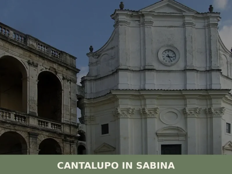
Cantalupo in Sabina
What to see in Cantalupo in Sabina: a hill village at 297 m in Rieti with 1,738 residents. Explore the medieval centre, the San Biagio feast and PAT-certified guanciale. Plan your visit now.
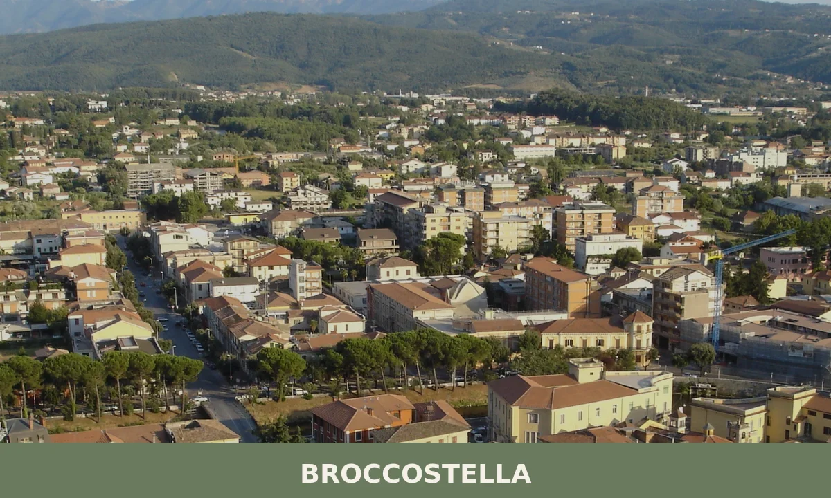
Broccostella
What to see in Broccostella, Lazio, Italy: 100 km from Rome, Lady Gaga connections, Apennine landscapes. Discover top attractions, food and travel tips.
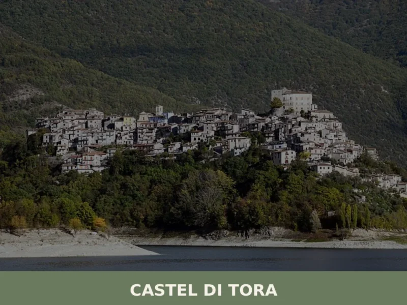
Castel di Tora
What to see in Castel di Tora: medieval village at 607 m above Lago del Salto, 292 residents, 3 PAT-certified products. Plan your visit with our complete guide.
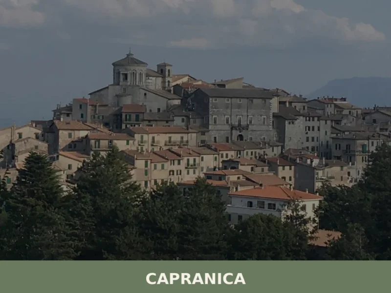
Capranica
Capranica, a Lazio village between history and nature: discover what to see, how to get there and the top places to visit. Plan your trip with this guide.
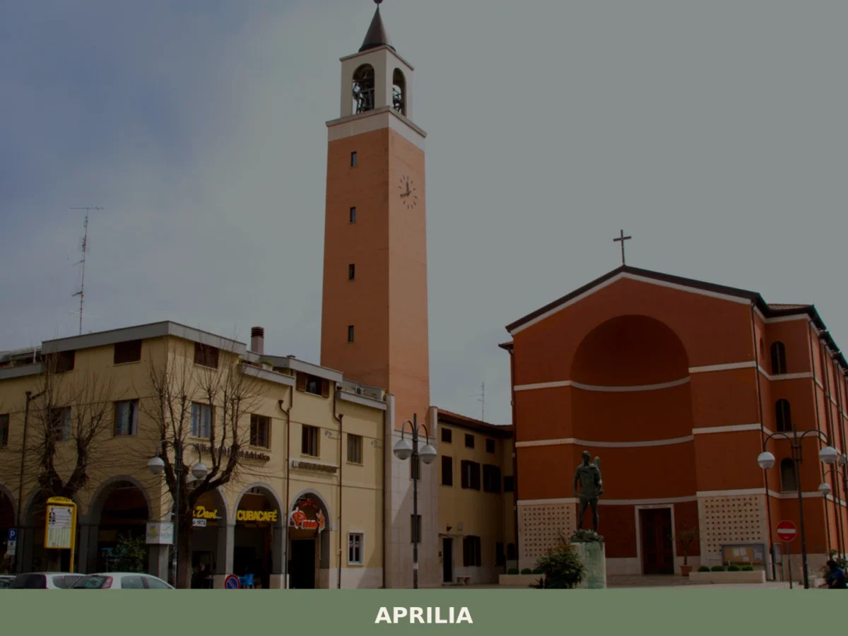
Aprilia
What to see in Aprilia? Explore 5 unique attractions in this Lazio village. Discover its historic origins and hidden gems. Plan your visit now!
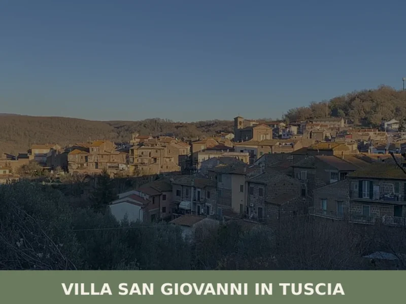
Villa San Giovanni in Tuscia
Villa San Giovanni in Tuscia has 1,196 inhabitants spread across a hilly territory at 329 metres above sea level, in the province of Viterbo. The settlement preserves a compact layout dating back to the feudal reorganisation of the late Middle Ages, when the village was under the control of baronial families that ruled upper Lazio. […]
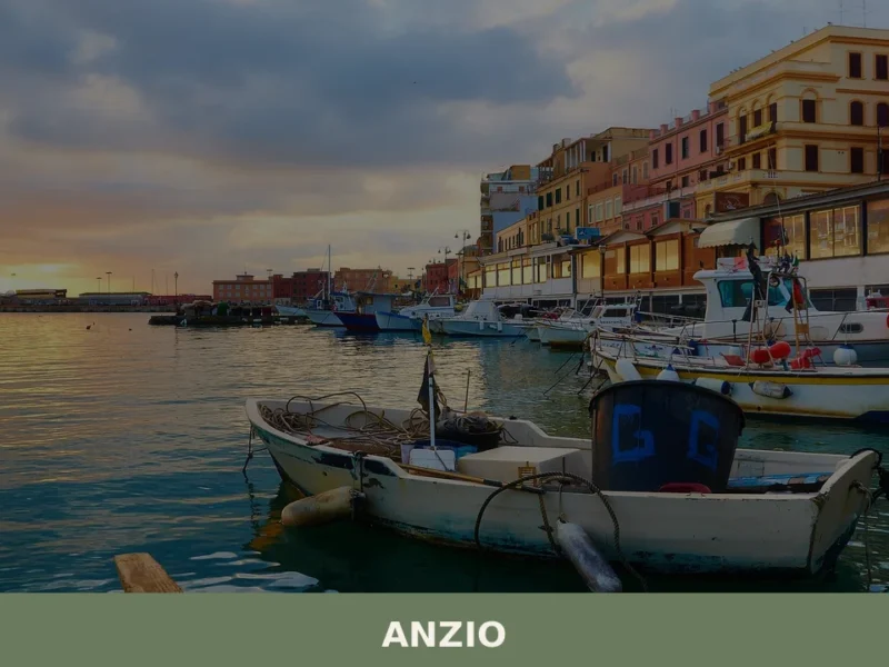
Anzio
What to see in Anzio, Lazio, Italy: from WWII cemeteries to Roman ruins 51 km from Rome. Discover top attractions, local seafood, and how to get there.
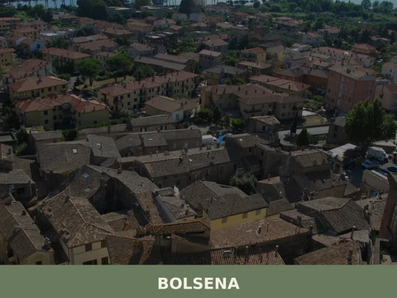
Bolsena
What to see in Bolsena, Lazio, Italy: the 1263 Eucharistic Miracle, Basilica of Santa Cristina, Lake Bolsena at 350 m. Discover history, food and how to get there.
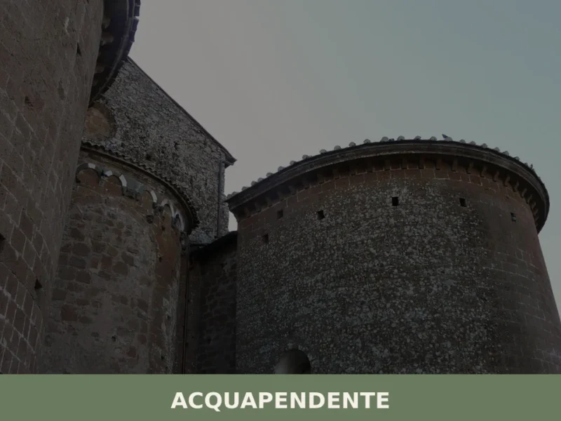
Acquapendente
What to see in Acquapendente, Lazio, Italy: cathedral dating to 1149, Monte Rufeno Reserve and local pottery. Population 5,619. Discover the full travel guide.
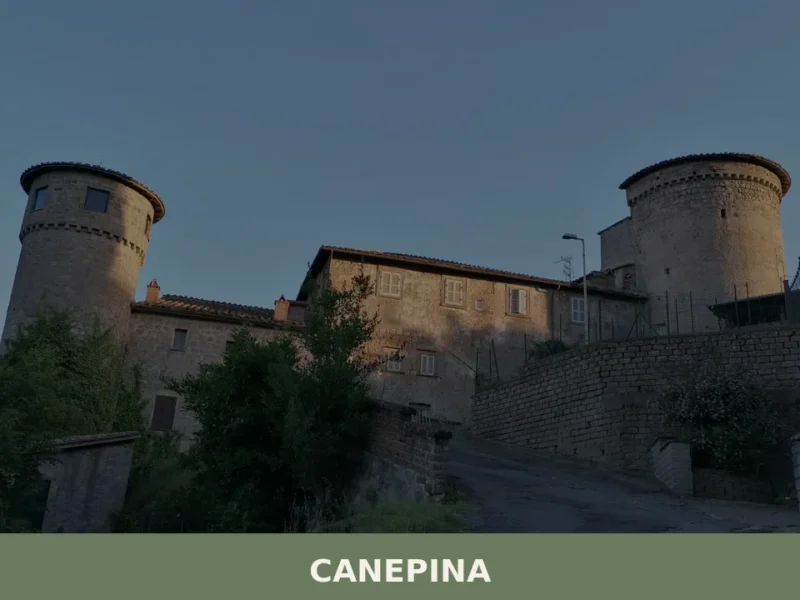
Canepina
What to see in Canepina, Lazio, Italy: explore this 3,127-inhabitant hill village 60 km from Rome. Discover its hemp heritage, patron saint feast and local cuisine.


🏡 Know Lubriano better than we do?
If you’re a local or have been there, your knowledge matters: add what’s missing or fix a detail on this page.