


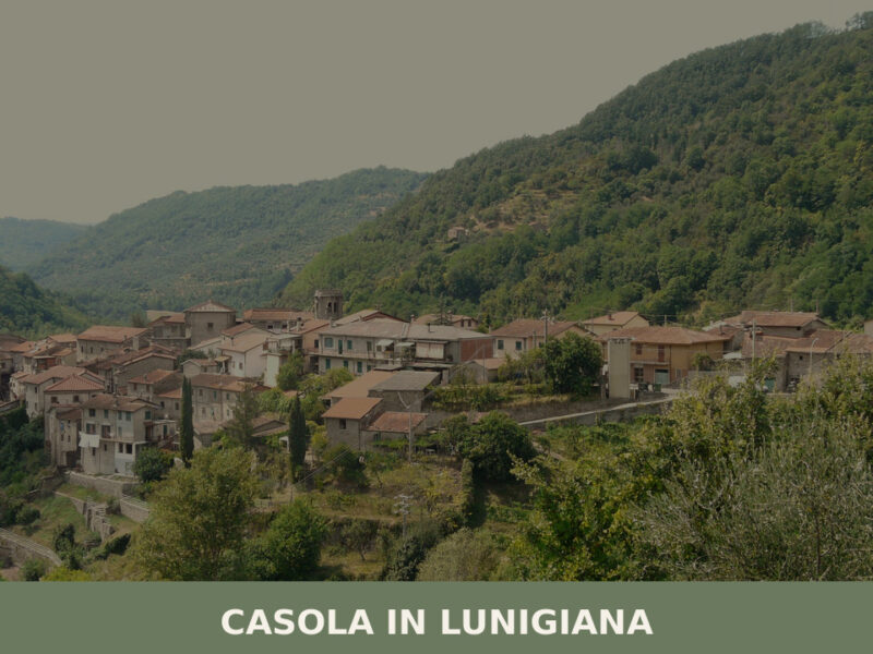
Capraia e Limite
The Arno moves slowly past the low embankment at Limite sull’Arno, its surface carrying the same grey-green light it has carried for centuries. The riverbank here is not decorative: from the 18th century onward, this stretch of the river functioned as a working yard where timber hulls took shape for the Grand Duchy of Tuscany. […]
Discover Capraia e Limite
The Arno moves slowly past the low embankment at Limite sull’Arno, its surface carrying the same grey-green light it has carried for centuries. The riverbank here is not decorative: from the 18th century onward, this stretch of the river functioned as a working yard where timber hulls took shape for the Grand Duchy of Tuscany.
At 28 m (92 ft) above sea level, the land is flat and the horizon is wide, framed by the Montalbano ridge to the north and the broad Valdarno plain extending eastward.
Deciding what to see in Capraia e Limite becomes clearer once you understand that this is a municipality of two distinct centers.
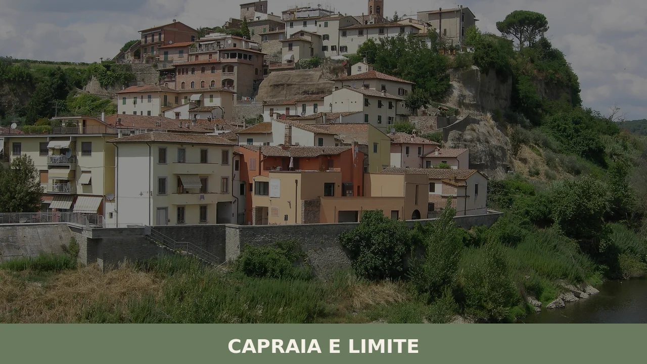
Located about 20 km (12 mi) west of Florence in the Metropolitan City of Florence, Toscana, Italy, the comune counts 7,471 inhabitants and divides between Capraia Fiorentina, set slightly inland, and Limite sull’Arno, which holds the municipal seat and the river frontage. Visitors to Capraia e Limite find a documented industrial and maritime heritage alongside the agricultural landscape of the lower Valdarno — a combination that rewards those willing to look carefully.
History of Capraia e Limite
The name of the municipality reflects its dual origin. Capraia derives from the Latin capraria, referring to land where goats were kept — a common toponym across the Tuscan countryside that signals rural use predating any formal settlement. Limite, on the other hand, points to a boundary function: the word in Italian denotes a limit or border, and the village of Limite sull’Arno stood historically at a defined administrative and territorial edge along the river. The two settlements developed separately for much of their history before being joined into a single comune in the 20th century.
The river shaped Limite sull’Arno far more than agriculture shaped Capraia.
Beginning in the 18th century, Limite became one of the principal centers of shipbuilding within the Grand Duchy of Tuscany.
This was not a minor craft operation: the construction of vessels for Tuscan river and coastal navigation required a concentrated workforce, specialist timber-working skills, and sustained investment. The Arno provided both the logistical corridor for moving materials and the immediate testing ground for finished hulls. That industrial identity left physical traces in the settlement’s layout, with the riverbank built out to serve working rather than ceremonial functions. Visitors examining the older structures along the embankment can still read the logic of a yard town in the positioning of buildings relative to the water.
By the modern period, the administrative merger of Capraia Fiorentina and Limite sull’Arno formalized a connection that geography had always implied. The municipality today falls within the Metropolitan City of Florence, linking it administratively to one of the most closely studied urban areas in Italy. The twin-town relationship with Bir Lehlu in the Sahrawi Arab Democratic Republic reflects a contemporary civic engagement that extends the village’s profile well beyond its immediate regional context.
The combined population of 7,471 inhabitants sustains a functioning settlement rather than a purely agricultural or tourist-oriented one, with services distributed across both centers.
What to see in Capraia e Limite, Toscana: top attractions
The Arno Riverbank at Limite sull’Arno
The embankment at Limite sull’Arno runs along a section of the Arno where the river widens and slows, with the far bank marked by stands of poplar and willow.
This stretch was the operational core of Tuscany’s 18th-century river shipbuilding industry, and the spatial organization of the waterfront still reflects that purpose. Standing here, you can observe how the bank was built to allow direct access to the water rather than to frame a promenade. The best time to walk this section is early morning, when river mist sits at low level and the current is visible as a distinct band of darker water at the center of the channel.
Look for the older masonry at water level, where the stone courses differ from later reinforcement work.
Limite sull’Arno Historic Center
The historic core of Limite sull’Arno occupies the area immediately above the embankment, with streets that follow the pragmatic grid of a working settlement rather than the defensive geometry of a hill town. Buildings from the 18th and 19th centuries sit alongside later construction, and the scale remains consistently modest. The municipal seat is located here, in a building that serves the administrative functions of the combined comune.
Walking the main street from the river toward the inland edge of the center covers roughly 400 m (1,312 ft) and gives a clear cross-section of the settlement’s development across three centuries. The church dedicated to the local parish repays a closer look for its interior proportions, which are consistent with a congregation tied to a working community rather than a noble patron.
Capraia Fiorentina Village
Capraia Fiorentina sits a short distance from the river, its character shaped by the agricultural plain rather than the water.
The older parts of the village retain a layout that reflects the mezzadria system — the sharecropping arrangement that organized Tuscan rural land tenure for centuries and left behind a specific pattern of farmsteads, field divisions, and access roads.
The countryside surrounding Capraia Fiorentina is cultivated at low elevation, predominantly below 50 m (164 ft), with vineyards and olive groves occupying the better-drained slopes of the Montalbano foothills to the north. Coming from Limite sull’Arno by road, the change in character between the two centers is immediately legible: the river noise disappears and the scale of the surrounding fields opens out. Spring, when the vine shoots are newly extended and the olive trees show their pale new growth, gives the clearest sense of the agricultural logic that built this settlement.
The Valdarno Plain Viewpoints
Because Capraia e Limite sits at only 28 m (92 ft) above sea level, elevated viewpoints are not found within the village itself — but the flat plain offers unobstructed sight lines across a broad section of the lower Valdarno.
From the eastern edge of the municipality, on clear days, the outline of Florence’s hills is visible at roughly 20 km (12 mi) distance. The plain has been cultivated continuously since at least the medieval period, and the network of irrigation channels, field boundaries, and farm tracks visible from any raised road embankment constitutes a working agricultural document covering several centuries of land management.
For those making a day trip from Florence, this perspective on the cultivated Arno valley adds a dimension that the city itself cannot provide.
Church of Santo Stefano Protomartire
The parish church dedicated to Santo Stefano Protomartire — Saint Stephen the Protomartyr — is the liturgical focus of the community and the site of the principal annual celebration on 26 December. The structure follows the pattern common to Tuscan lowland churches built or extensively renovated between the 17th and 19th centuries, with a plain rendered facade and a nave interior oriented away from the street.
The feast day of 26 December, coming immediately after Christmas, means that the church’s most significant annual moment falls in midwinter, drawing the local population together at a point in the year when the agricultural calendar is at its lowest intensity. The interior proportions and surviving furnishings reward a visit at any season; the building is typically accessible during morning and late-afternoon hours.
Local food and typical products of Capraia e Limite
The food tradition of the lower Valdarno, the valley in which Capraia e Limite, Toscana, Italy sits, is grounded in the agricultural output of the plain and the hills immediately surrounding it. The mezzadria system, which organized Tuscan rural life from the medieval period until its abolition in the 1960s, produced a domestic cooking tradition built around preservation, economy of technique, and the use of whole animals and full harvests.
Bread — the unsalted pane sciocco of Tuscany — was baked in communal ovens and used across days in successive preparations. Olive oil from the Montalbano slopes provided the principal fat. Wine from Valdarno vineyards accompanied every meal without ceremony.
Among the dishes that reflect this tradition, ribollita stands out as the most structurally representative: a twice-cooked bread soup built on cavolo nero (black kale), cannellini beans, stale unsalted bread, and a base of soffritto in local olive oil.
The technique of reboiling the soup the following day — giving the dish its name — concentrates the flavor and changes the texture from liquid to dense. Pappardelle al cinghiale, broad egg pasta ribbons served with a slow-cooked wild boar ragù, reflects the presence of game in the Montalbano forests to the north. Fagioli all’uccelletto, white beans cooked in tomato with sage and garlic, represents the legume-centered side of Tuscan lowland cooking at its most direct. Each of these dishes requires patience — cooking times run from ninety minutes to several hours — and none of them depend on rare or imported ingredients.
The Valdarno is also known for Pollo del Valdarno, a locally raised chicken breed with a documented presence in the area since at least the 19th century.
This bird has a firmer flesh than industrially raised poultry, due to slower growth and outdoor rearing, and is traditionally prepared either roasted with rosemary and garlic or braised with olives. Local butchers and farm shops along the Valdarno carry it when in season. Olive oil produced from Frantoio, Moraiolo, and Leccino olives grown on the lower Montalbano slopes carries the characteristic bitterness and green-fruit intensity associated with early-harvest Tuscan pressing, typically completed between October and November.
Markets in the surrounding municipalities, particularly in the larger centers of the Valdarno, offer seasonal produce including the beans, kale, and squash that form the base of local winter cooking.
Late autumn, from October through December, is when the combination of harvest markets, olive pressing, and early-winter preparations makes the food dimension of a visit to this part of Tuscany most directly accessible.
Local sagre — traditional food festivals organized around a single ingredient or dish — take place across the Valdarno in autumn, though specific events in Capraia e Limite itself should be confirmed with the official municipality website before travel.
Festivals, events and traditions of Capraia e Limite
The patron saint of Capraia e Limite is Stefano Protomartire — Saint Stephen the Protomartyr — whose feast falls on 26 December. The date places the celebration in the heart of the winter holiday period, the day after Christmas, and gives it a specific character within the community’s calendar. The feast traditionally involves a religious ceremony at the parish church, with a solemn Mass attended by residents of both Capraia Fiorentina and Limite sull’Arno.
The proximity to Christmas means that the 26 December observance carries both liturgical weight and the social dimension of a community gathering during the period when extended families are present in the village. Processions through the town center, the ringing of church bells at key moments of the ceremony, and communal gathering after the Mass are the documented elements of the celebration.
Beyond the patron feast, the civic calendar of Capraia e Limite reflects the rhythms of both the agricultural and the ecclesiastical year common to Tuscan lowland settlements.
The late spring and early summer months, from May through July, bring outdoor events tied to the warming season. The twin-town connection with Bir Lehlu in the Sahrawi Arab Democratic Republic occasionally produces civic exchanges and solidarity events organized at the municipal level. Visitors interested in attending specific annual events beyond the 26 December feast should consult the municipality’s official communications directly, as programming varies from year to year.
When to visit Capraia e Limite, Italy and how to get there
The best time to visit Capraia e Limite depends on what you are primarily seeking.
For the agricultural landscape and food dimension, late September through November offers the olive harvest, grape pressing in nearby cellars, and the autumn market cycle across the Valdarno. Spring — April and May — brings the plain into full cultivation, with mild temperatures typically between 14°C (57°F) and 22°C (72°F) and low visitor density.
Summer is workable but the Arno valley concentrates heat: July and August regularly reach 34°C (93°F) or above at this low elevation, making midday movement uncomfortable. For the patron feast on 26 December, December itself is cool and occasionally foggy, but the short days and quiet roads give the visit a very different register from the agricultural seasons. International visitors who prefer cooler weather and fewer crowds will find April, May, September, and October the most rewarding months.
Getting to Capraia e Limite is straightforward from Florence. By car, take the A1 motorway toward Prato and exit at Ginestra Fiorentina, continuing westward on the SP1 road toward Limite sull’Arno — total distance from Florence city center is approximately 20 km (12 mi), with a driving time of 25 to 35 minutes depending on traffic. By train, the nearest station is Montelupo-Capraia on the Florence–Empoli–Pisa regional line, served by Trenitalia regional services; journey time from Florence Santa Maria Novella is approximately 25 minutes.
The nearest international airport is Florence Airport (Peretola / Amerigo Vespucci), approximately 18 km (11 mi) east of Capraia e Limite.
If you arrive by car from the airport, allow 20 to 30 minutes. For those making a day trip from Florence, the rail connection to Montelupo-Capraia is the most practical option, leaving the car behind entirely. International visitors should be aware that English is not widely spoken in smaller shops and services in this part of the Valdarno; carrying cash in euros is advisable, as card payment terminals are not universal in local businesses.
Travelers who want to extend their time in this part of Tuscany can combine Capraia e Limite with a visit to the nearby city of Prato, which sits approximately 25 km (15.5 mi) to the north and offers a very different urban scale and textile heritage.
For those willing to go further into the Tuscan landscape, Grosseto, the principal city of the Maremma region in southern Tuscany, represents a longer half-day excursion that connects the Valdarno plain to the coastal agricultural landscape — though the distance of roughly 150 km (93 mi) makes it better suited to an overnight trip than a single day’s circuit from Capraia e Limite.
Frequently asked questions about Capraia e Limite
Come si raggiunge Capraia e Limite da Firenze?
Capraia e Limite si trova a circa 20 km a ovest di Firenze. In auto, si percorre la SR 67 (Toscoromagnola) lungo la riva nord dell’Arno. In treno, la stazione di Limite sull’Arno è servita dalla linea Firenze–Empoli–Pisa: il viaggio da Firenze Santa Maria Novella dura circa 30 minuti. La stazione si trova a breve distanza dal centro di Limite sull’Arno e dall’argine del fiume.
Quando si svolge la festa patronale di Capraia e Limite?
La festa patronale è dedicata a Santo Stefano Protomartire e si celebra il 26 dicembre, giorno immediatamente successivo al Natale. La chiesa parrocchiale di Santo Stefano Protomartire è il fulcro liturgico dell’evento. Cadendo in piena pausa agricola invernale, la ricorrenza rappresenta tradizionalmente uno dei momenti di maggiore aggregazione per la comunità locale di entrambi i centri, Capraia Fiorentina e Limite sull’Arno.
È possibile visitare Capraia e Limite come gita giornaliera da Firenze?
Sì, la visita è facilmente gestibile come day trip. Con circa 20 km di distanza e un collegamento ferroviario diretto di circa 30 minuti da Firenze Santa Maria Novella, il paese è comodamente raggiungibile. Una visita completa — argine del fiume, centro storico di Limite sull’Arno e Capraia Fiorentina — richiede indicativamente mezza giornata, lasciando tempo per una sosta enogastronomica basata sui prodotti tipici del Valdarno.
Frequently asked questions about Capraia e Limite
How do you reach Capraia e Limite from Florence?
Capraia e Limite is located approximately 20 km west of Florence. By car, take the SR 67 (Toscoromagnola) along the north bank of the Arno. By train, Limite sull'Arno station is served by the Florence–Empoli–Pisa line: the journey from Florence Santa Maria Novella takes about 30 minutes. The station is a short distance from the center of Limite sull'Arno and the river embankment.
When is the patron saint festival of Capraia e Limite celebrated?
The patron saint festival is dedicated to Santo Stefano Protomartire and is celebrated on December 26, the day immediately after Christmas. The parish church of Santo Stefano Protomartire is the liturgical focal point of the event. Falling during the full winter agricultural break, the celebration traditionally represents one of the most significant moments of community gathering for the local residents of both centers, Capraia Fiorentina and Limite sull'Arno.
Is it possible to visit Capraia e Limite as a day trip from Florence?
Yes, a visit is easily manageable as a day trip. With approximately 20 km distance and a direct train connection of about 30 minutes from Florence Santa Maria Novella, the town is conveniently accessible. A complete visit — the river embankment, the historic center of Limite sull'Arno and Capraia Fiorentina — takes approximately half a day, leaving time for a stop to enjoy typical Valdarno food and wine specialties.
Nearby Villages near Capraia e Limite
In Tuscany More villages to discover
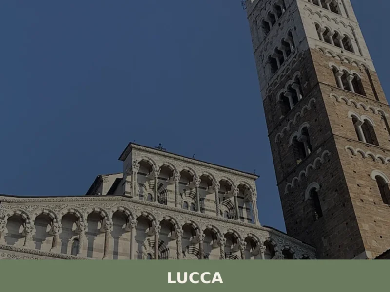
Lucca
Discover Lucca, Tuscany's enchanting walled village in Italy. Explore medieval streets, stunning architecture, and rich culture in this timeless Italian treasure.
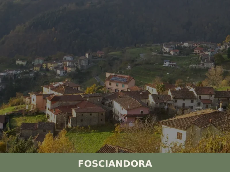
Fosciandora
What to see in Fosciandora, Italy: 9 churches, a medieval mill, local Garfagnana cuisine and the feast of San Sebastiano. Explore this Lucca province village at 390 m.
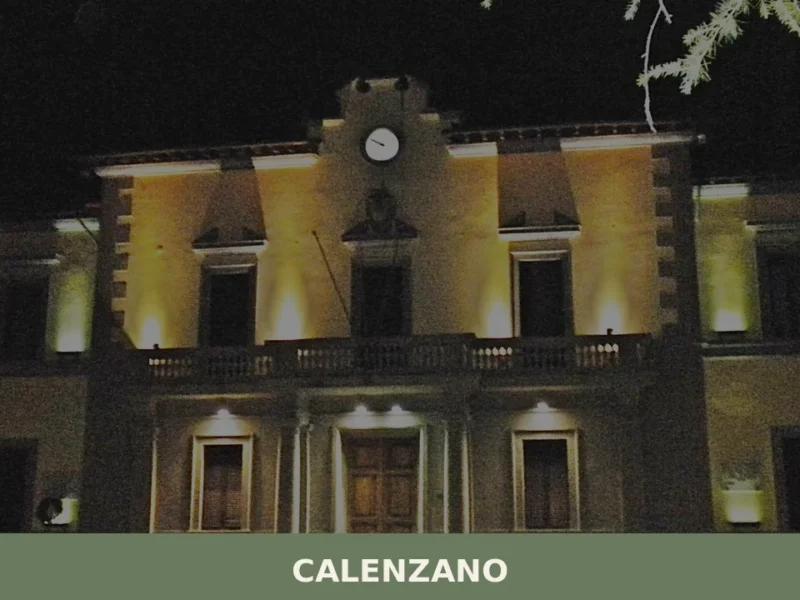
Calenzano
What to see in Calenzano, Italy: 5 top attractions, medieval churches, Renaissance art, and practical tips. 11 km from Florence. Discover Calenzano, Toscana.
Pitigliano
What to see in Pitigliano, Italy: a tufa-rock town 80 km from Grosseto with a 1598 synagogue, Etruscan cuts, and Orsini Fortress. Discover the complete guide.
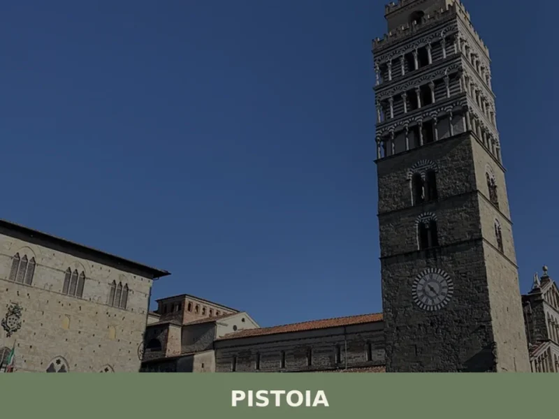
Pistoia
Discover Pistoia, a charming village in Tuscany, Italy. Explore its rich history, stunning architecture, and authentic Italian culture off the beaten path.
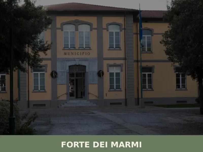
Forte dei Marmi
What to see in Forte dei Marmi, Italy: the 1788 fortress, sandy beaches, satirical art museum and weekly market. Population 7,619. Explore the full guide.
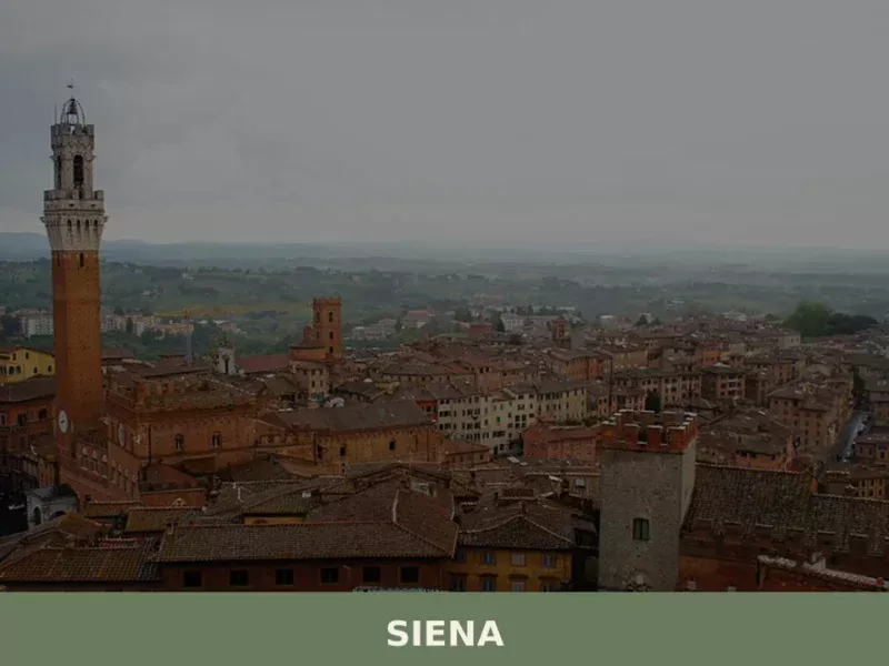
Siena
What to see in Siena: UNESCO centre at 322 m, population 52,883. Explore Piazza del Campo, the Cathedral, the Palio, and local foods like panforte and pici. Plan your visit.
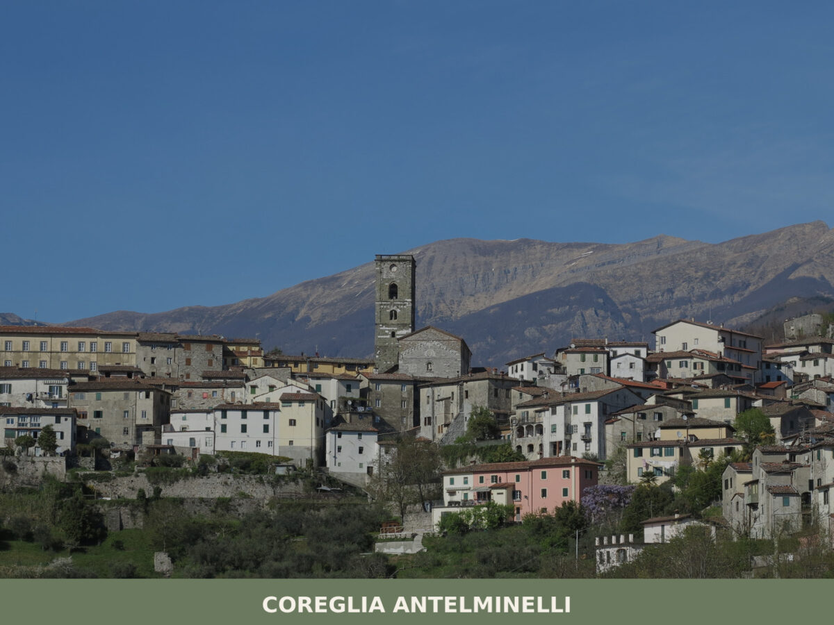
Coreglia Antelminelli
What to see in Coreglia Antelminelli, Italy: 3 Romanesque churches, a painted crucifix by Berlinghieri, and a village at 595 m. Explore the full guide.
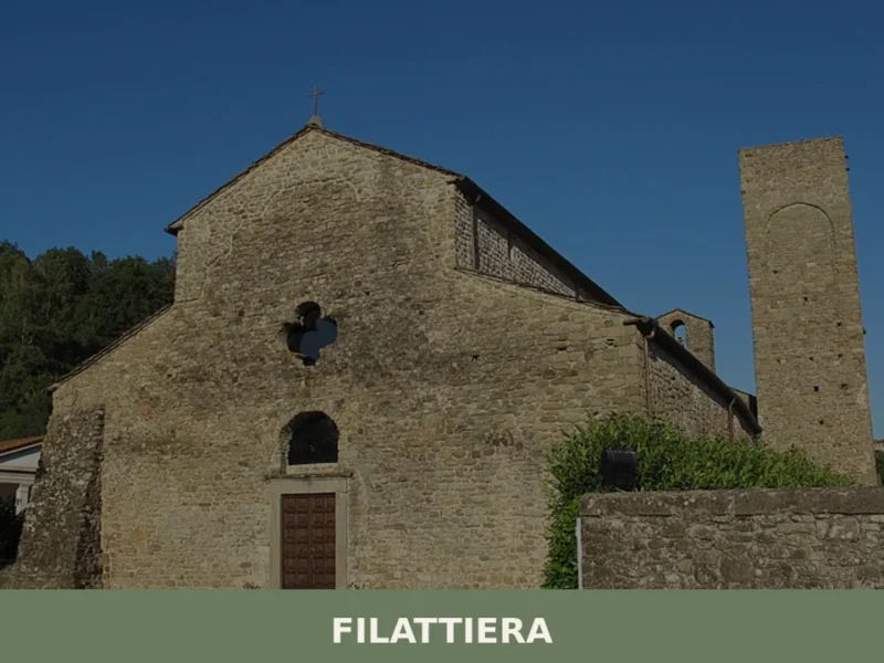
Filattiera
Filattiera first appears in written records in 884, when the name Filacteriae identified a garrison along the Via Francigena in Lunigiana. Sitting at 213 metres above sea level in the province of Massa and Carrara, this village of 2,393 inhabitants preserves prehistoric stelae, Romanesque parish churches, and a defensive layout that reflects centuries of control […]
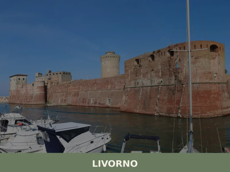
Livorno
What to see in Livorno, a port city of 157,000 on the Tyrrhenian coast: Fortezza Vecchia, Quartiere Venezia, cacciucco, Terrazza Mascagni. Plan your visit now.


🏡 Know Capraia e Limite better than we do?
If you’re a local or have been there, your knowledge matters: add what’s missing or fix a detail on this page.