


Anzola dell’Emilia
What to see in Anzola dell’Emilia: 5 must-visit attractions, from the medieval tower to the parish church. Discover the complete guide and plan your visit.
Discover Anzola dell’Emilia
Twelve thousand four hundred and thirty-two inhabitants, the Bolognese plain stretching flat to the horizon, and water flowing silently through the land reclamation canals that mark the fields like lines on a sheet of paper.
Anzola dell’Emilia is located in the metropolitan city of Bologna, in that strip of Emilian territory where the Via Emilia has dictated the rhythm of human settlement for centuries.
Since January 2012, the municipality has been part of the Unione dei comuni Terre d’acqua, a grouping that brings together several communities of the lower Bolognese area and that testifies to how the management of water resources remains an identity-defining element of this area to this day.
What to see in Anzola dell’Emilia is a question that deserves a concrete answer: the territory offers a well-preserved historic and religious heritage, a network of cycling and pedestrian paths along the canals, rural buildings that document the architecture of the Emilian plain between the 17th and 19th centuries, and a gastronomic tradition rooted in Bolognese peasant culture.
Those who arrive in this municipality, located approximately 15 km west of Bologna, will find a service-oriented town centre with its own historical identity, legible in its sacred buildings and in the rural courtyards that dot the surrounding agricultural landscape.
History and origins of Anzola dell’Emilia
The western Bolognese dialect name for the municipality is Anzôla, a form that preserves traces of the local vernacular and distinguishes this settlement from other centres on the plain.
The origins of the village are intertwined with the history of the Via Emilia, the great Roman road built in 187 BC by consul Marcus Aemilius Lepidus, which connected Rimini to Piacenza and passed through this very stretch of the Po plain.
Human presence in the area is documented from Roman times, when the agricultural centuriation — the system of geometrically dividing territory into regular plots practised by the Romans — left traces still legible today in the orientation of certain roads and canals.
In the Middle Ages, the territory of Anzola dell’Emilia fell within the orbit of the municipality of Bologna, which exercised political and economic control over the surrounding plain.
Like many municipalities in the peri-urban Bolognese belt, the village experienced the events of local lordships and the struggles between Guelphs and Ghibellines that characterised the history of Emilia between the 12th and 14th centuries.
Its position along the main communication routes made the territory a commercial and military transit point, fostering the development of stable settlements and religious structures that served travellers and the rural community. The area belongs to the same historical tradition as other centres in the region, such as Imola, likewise linked from its origins to the route of the Via Emilia and to the political dynamics of the Bolognese municipality.
Between the 16th and 18th centuries, hydraulic land reclamation profoundly transformed the landscape of the Bolognese plain.
Drainage canals, sluices and water regulation works made previously marshy land cultivable, altering the agricultural and settlement layout of the entire area. This process directly involved the territory of Anzola dell’Emilia, where water — evoked in the very name of the Unione dei comuni Terre d’acqua — shaped both the economy and the structure of the landscape.
In the 19th century, with the Unification of Italy and the development of the railway network, the municipality gained a direct connection with Bologna, accelerating the processes of urbanisation and economic integration with the metropolitan capital.
What to See in Anzola dell’Emilia: Main Attractions
Parish Church of San Pietro Apostolo
The exposed brick façade of the parish church of San Pietro Apostolo dominates the centre of Anzola dell’Emilia with the architectural solidity typical of religious buildings on the Bolognese plain. The current structure is the result of successive building phases that were layered between the 17th and 19th centuries, when the needs of the growing community required expansions and renovations of the original structure.
Inside, the single-nave layout with side chapels reflects the Counter-Reformation devotional model widespread throughout Emilia after the Council of Trent.
The decorations of the side altars document the local devotion to saints and Marian cults deeply rooted in the rural tradition.
The church is located in the heart of the municipal capital, easily reachable on foot from the central car park.
Oratory of San Giacomo
The walls of the Oratory of San Giacomo tell a devotional history older than that of the parish church, with an architectural structure that preserves elements traceable to the earliest phases of development of the settlement nucleus of Anzola dell’Emilia.
Rural oratories such as this one played a central role in the religious life of farming communities: they were places of worship in close proximity to the people, often built at the behest of noble families or local landowners who looked after their upkeep.
The presence of this building within the urban fabric of the municipality bears witness to the density of the religious network that characterised the Bolognese plain between the 16th and 18th centuries.
Those who walk through the streets of the town centre can identify the oratory as a point of reference on the itinerary of the municipality’s historic buildings.
Canal Network and Cycling and Walking Paths
The system of land reclamation canals that crosses the municipal territory of Anzola dell’Emilia is one of the most characteristic landscape features of the lower Bolognese plain, with grassy embankments running parallel to rows of poplar trees for several kilometres.
These canals, a direct legacy of the hydraulic reclamation works begun between the 16th and 18th centuries, are today flanked by cycling and walking paths that allow visitors to cross the agricultural landscape of the plain at a leisurely pace.
The municipal cycle path network connects with the routes of the Unione dei Comuni Terre d’acqua, enabling excursions that cover several municipal territories. In spring, when the vegetation regains vigour along the banks, the paths offer a direct reading of the water geography that has shaped this portion of Emilia.
The routes are accessible by bicycle and on foot, with no need for specific equipment.
Historic Rural Farmsteads
Scattered across the agricultural land surrounding the main town, the historic rural farmsteads of Anzola dell’Emilia document the sharecropping architecture of the Bolognese plain between the 17th and 19th centuries, with brick buildings arranged in a closed courtyard layout around a central threshing floor.
This settlement pattern, widespread throughout the Po Plain, responded to the logic of organising agricultural work and controlling the territory on the part of landowners.
Some of these structures still retain the wine press, the hayloft and the rooms used for processing agricultural produce — elements that allow for a visual reconstruction of the conditions of Emilian peasant labour.
The most accessible farmsteads are located along the secondary roads branching off from the town centre; a map of the rural routes is available from the municipal offices.
Historic Town Centre and Main Square
The historic town centre of Anzola dell’Emilia develops along the axis of the Via Emilia with a linear urban layout that reflects the settlement logic of the roadside towns of the Po Plain, where the sequence of arcades, shops and public buildings follows the course of the main thoroughfare. The central square brings together the municipality’s institutional buildings, including the town hall, and constitutes the gathering point for the community of 12,432 inhabitants that makes Anzola dell’Emilia one of the most active centres of the Unione Terre d’acqua.
Walking along the main street allows visitors to read the various phases of the municipality’s building development, from the 19th-century historic core to the expansions of the latter half of the 20th century.
It is worth pausing beneath the arcades to observe the details of the façades and the traces of commercial activity that has animated this stretch of the Via Emilia for centuries.
Those wishing to delve deeper into the urban history of the village can consult the website of the Municipality of Anzola dell’Emilia for up-to-date information on opening times and cultural initiatives.
Traditional cuisine and products of Anzola dell’Emilia
The cuisine of Anzola dell’Emilia fits within the gastronomic context of the Bolognese plain, one of the territories with the most established food tradition in Italy. The municipality’s position along the Via Emilia, approximately 15 km from Bologna, has historically guaranteed direct access to the products and culinary techniques of the regional capital, which have profoundly influenced local eating habits.
The sharecropping system, the dominant agricultural model until the post-Second World War period, shaped a cuisine tied to seasonal cycles and the availability of farmyard and kitchen garden produce: eggs, pork, wheat, and seasonal vegetables.
Among the dishes that represent the culinary tradition of this area, tortellini in brodo hold the most significant symbolic place: pasta filled with meat and cheese, rolled thin and folded by hand according to a technique passed down through every Bolognese family.
Tagliatelle al ragù represent another cornerstone of the local table, featuring hand-rolled egg pasta and a dressing of beef and pork slowly cooked for hours.
During the winter months, lasagne al forno would traditionally also appear, a festive dish prepared with layers of fresh pasta alternated with ragù, béchamel and grated Parmigiano Reggiano.
The crescente, bread fried in lard typical of the Bolognese tradition, accompanied cured meats at convivial occasions and during the breaks of agricultural workers.
As far as certified products are concerned, the territory of Anzola dell’Emilia falls within the production area of Parmigiano Reggiano PDO and Prosciutto di Parma PDO, two European-recognised excellences that characterise the entire Emilian area.
Mortadella Bologna PGI, an iconic product of regional gastronomy, is another fundamental reference for those wishing to explore the flavours of the territory.
These products can be found in the food shops of the town centre and at the municipality’s weekly markets.
The local markets and village festivals held across the territory of the Unione Terre d’acqua during the spring and summer months offer the opportunity to purchase fresh cheeses, cured meats and seasonal vegetables directly from local producers.
Those visiting Anzola dell’Emilia in summer can also take advantage of the patron saint feast cycles and the gastronomic events that enliven the neighbouring municipalities, creating a calendar of events spread throughout the warm season.
Festivals, events and traditions of Anzola dell’Emilia
The religious and civic life of Anzola dell’Emilia revolves around the liturgical calendar of the parish of San Pietro Apostolo, whose patron saint is celebrated on 29 June with religious services and moments of community gathering.
The patron saint festival is part of the tradition of Emilian rural celebrations, which combine the liturgical moment with the market, music and open-air banquets, following a model consolidated over centuries of agricultural life on the Bolognese plain.
The collective dimension of these occasions has maintained a social cohesion function even in more recent decades, when urbanisation has profoundly transformed the demographic structure of the municipality.
The territory’s traditions form part of the broader calendar of events organised by the Unione dei comuni Terre d’acqua, which coordinates cultural, sporting and gastronomic events distributed among the member municipalities throughout the year.
The summer events, particularly those connected to peasant culture and the promotion of local agricultural products, are concentrated between June and September.
For the updated programme of events, it is advisable to check directly on the municipality’s official website, as dates and details may vary from year to year.
When to Visit Anzola dell’Emilia and How to Get There
The best time to visit Anzola dell’Emilia falls between April and June, when the Bologna plain displays its most lush vegetation and temperatures allow for long cycling excursions along the canals without the sweltering heat of the summer months. Autumn, between September and November, offers an equally valid alternative: the colours of the Emilian countryside and the season of local produce make this period particularly suitable for those interested in local gastronomy.
The months of July and August are the least recommended for those seeking peace and quiet, due to the intense heat of the Po Valley.
Reaching Anzola dell’Emilia is straightforward thanks to the municipality’s strategic position along the Via Emilia.
By car, the reference motorway exit is Borgo Panigale on the A14, approximately 10 km away, or Modena Nord on the A1 for those arriving from the west. The nearest railway station with frequent connections is Bologna Centrale, approximately 15 km away, served by regional and high-speed trains; from there the municipality can be reached by scheduled bus services.
Those arriving by plane can use the Bologna Guglielmo Marconi International Airport, approximately 8 km away, with direct connections by taxi or public transport to the urban centre. For timetables and updates on local public transport services, check the official municipal website or the regional transport company portals.
| Departure point | Distance | Estimated time |
|---|---|---|
| Bologna Centrale (train + bus) | approx. 15 km | 30–40 minutes |
| Bologna Airport | approx.
8 km |
15–20 minutes by car |
| A1 exit Modena Nord | approx. 20 km | 20–25 minutes by car |
| A14 exit Borgo Panigale | approx. 10 km | 12–15 minutes by car |
Those wishing to expand their itinerary beyond what to see in Anzola dell’Emilia have several options across the region. To the south, towards the Bologna Apennines, Castel di Casio offers a hilly landscape that contrasts sharply with the plain of Anzola, and can be reached in less than an hour by car travelling up the Reno valley.
For those who prefer to head towards the Piacenza area, Castell’Arquato is one of the most cohesive medieval destinations in Emilia, with a castle and a historic village of a very different layout compared to the plain-based towns.
Those heading instead towards the Reggio Apennines can include Carpineti in their Emilian itinerary, a municipality that preserves the remains of the Matildic fortress and is located approximately 80 km from Anzola dell’Emilia by travelling along the Via Emilia as far as Reggio and then heading up into the hills.
Frequently asked questions about Anzola dell’Emilia
What is the best time to visit Anzola dell'Emilia?
The ideal time to visit Anzola dell'Emilia is during spring (April-May) or early summer (June). In spring, the canal paths come alive with lush vegetation, offering picturesque routes for cycling and walking at a leisurely pace. The climate is generally mild and pleasant for outdoor activities. Additionally, June 29th marks the Feast of San Pietro Apostolo, the patron saint, which is a significant local event. Autumn (September-October) also provides comfortable temperatures and beautiful colours in the surrounding agricultural landscape, perfect for exploring the historic farmsteads and enjoying the local cuisine.
What are the historical origins of Anzola dell'Emilia?
Anzola dell'Emilia's origins are deeply tied to the Via Emilia, the ancient Roman road built in 187 BC. Evidence of Roman presence, including agricultural centuriation, is still visible in the landscape. During the Middle Ages, the territory fell under Bologna's influence, experiencing local lordships and conflicts. Between the 16th and 18th centuries, extensive hydraulic land reclamation projects profoundly reshaped the plain, making marshy lands cultivable and defining the area's identity around water management. The 19th century brought further integration with Bologna through railway development.
What to see in Anzola dell'Emilia? Main monuments and landmarks
Anzola dell'Emilia offers a rich heritage. The Parish Church of San Pietro Apostolo, with its imposing brick façade and 17th-19th century architecture, dominates the town centre and is easily accessible on foot from the central car park. Nearby, the older Oratory of San Giacomo provides a glimpse into the area's early devotional history. Visitors can also explore the extensive network of cycling and walking paths along the historic land reclamation canals, particularly scenic in spring. Scattered across the agricultural landscape are numerous Historic Rural Farmsteads, showcasing 17th-19th century sharecropping architecture, while the historic town centre itself, along the Via Emilia, invites leisurely strolls beneath its arcades.
What are the main natural or scenic attractions of Anzola dell'Emilia?
The primary natural and scenic attractions in Anzola dell'Emilia are its extensive network of land reclamation canals. These historic waterways, dating back to the 16th-18th centuries, are flanked by grassy embankments and rows of poplar trees, creating a distinctive landscape of the lower Bolognese plain. These canals now feature dedicated cycling and walking paths, offering visitors a tranquil way to immerse themselves in the agricultural scenery. In spring, the revitalized vegetation along the banks makes for particularly picturesque excursions, providing a direct connection to the water geography that shaped the region.
Where to take the best photos in Anzola dell'Emilia?
For captivating photos, focus on the unique water geography and rural architecture of Anzola dell'Emilia. The cycling and walking paths along the land reclamation canals, especially during spring with their rows of poplars and verdant banks, offer excellent landscape opportunities. Capture the architectural solidity of the Parish Church of San Pietro Apostolo in the town centre, or seek out the charm of the historic Oratory of San Giacomo. The scattered Historic Rural Farmsteads, with their brick courtyards, provide evocative shots of traditional Emilian peasant life, while the arcades and façades of the historic town centre reveal centuries of urban development.
Are there museums, churches or historic buildings to visit in Anzola dell'Emilia?
Yes, Anzola dell'Emilia features several significant churches and historic buildings. The Parish Church of San Pietro Apostolo, a substantial 17th-19th century structure, is central to the community and showcases Counter-Reformation devotional models. The Oratory of San Giacomo offers a glimpse into older religious architecture and the area's early settlement. Beyond these, the Historic Rural Farmsteads dotted around the agricultural landscape are excellent examples of 17th-19th century sharecropping architecture, often retaining original elements like wine presses. The Historic Town Centre itself, with its linear layout along the Via Emilia and its arcades, is a living historic building to explore.
What can you do in Anzola dell'Emilia? Activities and experiences
In Anzola dell'Emilia, visitors can immerse themselves in the local culture and landscape. A primary activity is exploring the extensive network of cycling and walking paths that wind along the historic land reclamation canals, connecting with routes across the Unione Terre d'acqua. Discover the village's heritage by strolling through the historic town centre, observing the arcades and façades, and visiting the Parish Church of San Pietro Apostolo and the Oratory of San Giacomo. Additionally, seek out the historic rural farmsteads to appreciate traditional Emilian architecture. A visit is incomplete without savouring the renowned Bolognese plain cuisine, including tortellini, tagliatelle, and lasagne.
Who is Anzola dell'Emilia suitable for? Families, couples, hikers, solo travelers?
Anzola dell'Emilia is ideally suited for visitors seeking an authentic Emilian experience focused on history, local culture, and nature at a leisurely pace. It appeals to couples and solo travelers interested in exploring well-preserved historic and religious heritage, from ancient churches to rural farmsteads. Cyclists and walkers will appreciate the network of paths along the canals, perfect for light excursions without specific equipment. Food enthusiasts will delight in the rich Bolognese peasant culinary tradition. While not a typical 'hiking' destination, its flat terrain and accessible paths make it suitable for families with children looking for gentle outdoor activities combined with cultural discovery.
What to eat in Anzola dell'Emilia? Local products and specialties
Anzola dell'Emilia, nestled in the Bolognese plain, offers a gastronomy deeply rooted in regional tradition. Key specialties reflect the area's peasant and sharecropping heritage. Must-try dishes include 'tortellini in brodo,' delicate pasta parcels filled with meat and cheese, served in a rich broth. Another cornerstone is 'tagliatelle al ragù,' featuring fresh, hand-rolled egg pasta generously dressed with a slow-cooked beef and pork ragù. During colder months, 'lasagne al forno,' with its layers of pasta, ragù, and béchamel, is a traditional comfort food. These dishes embody the authentic flavours of the Emilian culinary landscape.
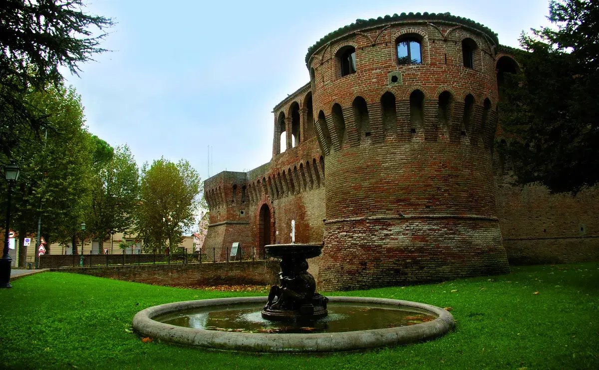
📷 Photo Gallery — Anzola dell’Emilia
Getting there
Via C. Grimandi, 40011 Anzola dell'Emilia (BO)
Nearby Villages near Anzola dell’Emilia
In Emilia-Romagna More villages to discover
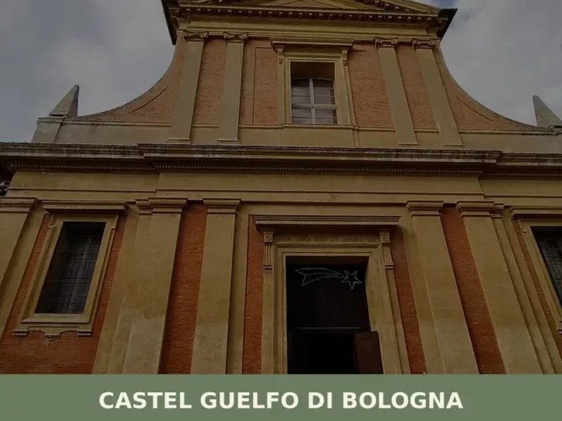
Bagnara di Romagna
What to see in Bagnara di Romagna, Italy? Explore this 'Borgo più bello' at 22 m (72 ft) altitude. Discover its historical charm and annual Patron Saint's Feast.
Alseno
Alseno sits at 79 metres above sea level in the province of Piacenza, on the plain crossed by the Ongina stream, a tributary of the Po. In this article History and Origins of Alseno What to See in Alseno: Main Attractions Local Food and Products of Alseno Festivals, Events and Traditions of Alseno When to […]
Bagnolo in Piano
What to see in Bagnolo in Piano, Emilia-Romagna, Italy: explore the medieval Torrazzo tower, the Pieve Rossa church, and local Po Valley cuisine. Discover now.
Argelato
What to see in Argelato? Explore the 5 main attractions of this Emilian village. Our complete guide awaits for your trip. Read now!
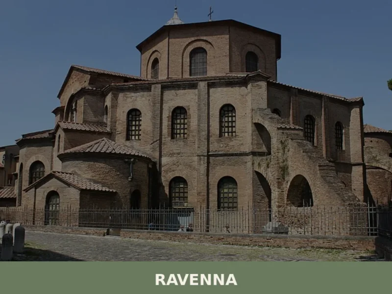
Ravenna
With a population of 155,751 inhabitants and located just 4 m above sea level, Ravenna stands out as one of Emilia-Romagna’s most significant centers, a historical crossroads that has shaped the region’s identity. In this article History and origins of Ravenna What to see in Ravenna: main attractions Typical cuisine and products of Ravenna Festivals, […]
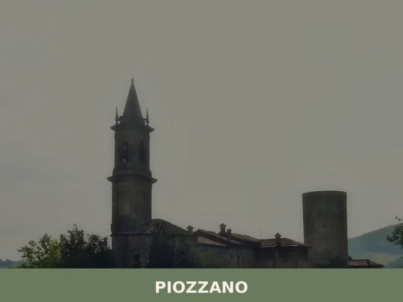
Piozzano
What to see in Piozzano, Italy: Explore this village of 578 inhabitants, 222 m a.s.l., near Piacenza. Discover its history and local specialties.

Tizzano Val Parma
2,198 residents and over a thousand years of documented history: Tizzano Val Parma draws visitors with its Romanesque pieve, medieval ruins and ski slopes on Monte Caio.
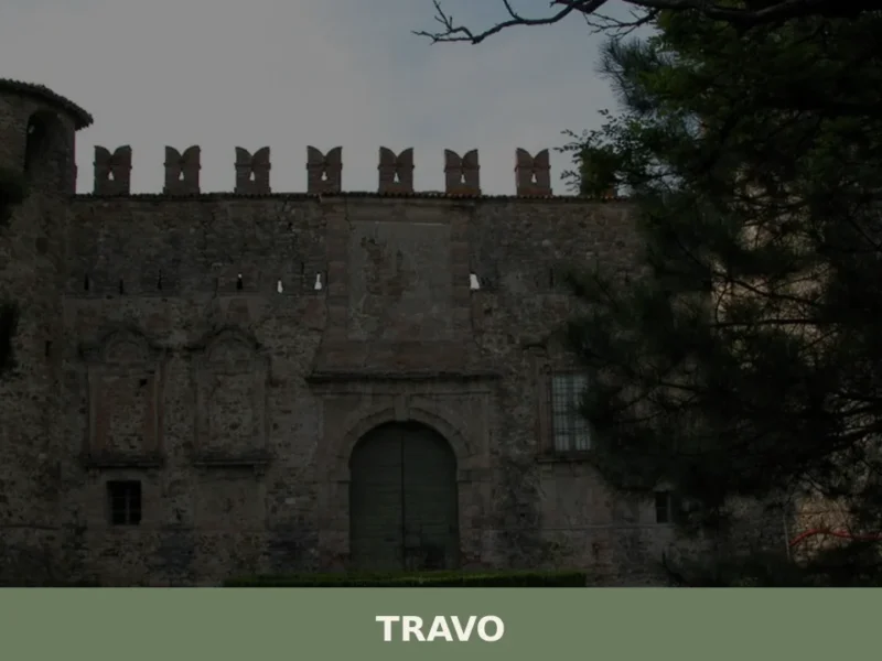
Travo
At 171 metres above sea level, in the lower Val Trebbia, Travo is one of those centres in the province of Piacenza where the historical layers of the past surface in visible, tangible ways: from pre-Roman foundations to the medieval domains of the Malaspina and Landi families, with traces of the Matildine Middle Ages in […]
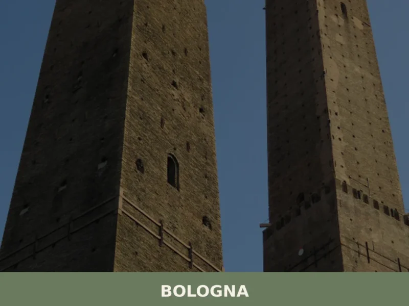
Bologna
What to see in Bologna: 388,000 inhabitants, UNESCO porticoes and the Two Towers. Plan your visit with our guide to tortellini, Mortadella IGP and top museums.
Rimini
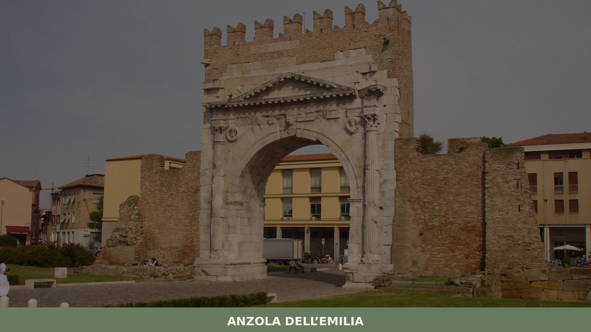
What to see in Rimini: 149,211 residents, Arch of Augustus, Tempio Malatestiano, Fellini Museum. Plan your visit with our complete guide to Roman history and local food.


🏡 Know Anzola dell’Emilia better than we do?
If you’re a local or have been there, your knowledge matters: add what’s missing or fix a detail on this page.