


San Michele di Ganzaria
A village of 2,820 people shaped by a medieval Albanian settlement pact and a baroque parish church with neo-Gothic facade. History runs deep here.
San Michele di Ganzaria: Albanian Roots and Norman Stones in Central Sicily
At 490 metres above sea level, the hill of Ganzaria catches the light of central Sicily in long, raking lines. The stone centre of the village faces south-west toward the Piano di Gela, while the mountain that shares its name rises behind it, scored by eight distinct countryside districts and dotted with sites where archaeologists have uncovered layers of human presence reaching back to the final phase of the Copper Age.
San Michele di Ganzaria village in Sicily draws two kinds of visitor: those who come for the archaeology and medieval monuments of Monte Ganzaria, and those who follow the trail of one of the most unusual resettlement agreements in Sicilian feudal history, a written pact signed in 1534 between an Albanian refugee community and a local baron. Both reasons reward the journey.
From Byzantine Hilltop to Albanian Colony: the Long Formation of a Village
The name of the mountain tells the first story. Arab geographers who arrived in Sicily during the ninth century described this territory as Jhanzariah, a toponym rooted in the Arabic word for a place frequented by wild boar. The hunting ground had been inhabited long before the Arab conquest: Byzantine communities worked the land here, and when Arab forces swept through in 830, the local population retreated uphill. They carried their religious identity with them, above all their devotion to San Michele Arcangelo, the archangel whose name eventually displaced every other designation for the settlement.
During the Norman period the place appears in documents as a hamlet with an attached church described as fanum gallorum, assigned to the newly consecrated Bishop of Syracuse, Richard Palmer, in 1168. Feudal ownership then passed through a sequence of noble families across the following centuries. In 1282, the estate came into the hands of Gentile de Padula, a nobleman who played a direct role in the Sicilian Vespers by carrying letters from Peter III of Aragon that urged the island’s barons toward revolt. Later, a confiscation for rebellion against King Martin I, a succession through female inheritance, and a barony granted to Margherita Raynero in the early fifteenth century all left their marks on the legal identity of the land without necessarily changing its physical appearance.
The decisive moment came in the sixteenth century. After a fire damaged much of the settlement around 1520, the baron Antonio Gravina signed a formal agreement on 25 September 1534 with Albanian refugees of the Byzantine rite, the arbëreshët, who had fled the Balkans. The pact was detailed and bilateral: thirty families would settle the land and cultivate it; the baron would provide temporary shelters and commit to building permanent stone houses within three years. The agreement was ratified by Viceroy Ferdinando De Vega in 1554. The newcomers brought their language, arbëreshe, and their Greek-Catholic liturgical rite, and the village became known locally as the Casale dei Greci. Over the following generations, however, the community gradually merged with surrounding populations, absorbing the local dialect, Roman Catholic practice and regional customs. By 1623, the village had a Latin-rite priest. A handful of surnames and one neighbourhood name, Santa Cricchia, derived from the Albanian Kryqja Shejte meaning Holy Cross, are what survive of that founding language.
Two coins dating to the reign of Emperor Constantine I, one found by the archaeologist Paolo Orsi and another by a hiker decades later, were discovered at two different points on the Ganzaria mountain, one in the valley and one higher up, suggesting a continuous human presence across many centuries in the same landscape.
Monuments and Landscapes That Define San Michele di Ganzaria
Chiesa Madre di San Michele Arcangelo
The parish church stands at the centre of village life and is the only parish in San Michele di Ganzaria. Its origins go back to a Norman-era structure, but the building visitors see today was substantially rebuilt in baroque style after the earthquake of 1693. The facade was completed in neo-Gothic style in 1833, with two crenellated bell towers added during the twentieth century. In 1838 King Ferdinand II and his consort Maria Teresa of Austria visited the church and donated one hundred gold ounces toward the completion of the floor. Inside, the spatial arrangement follows the plan of the earlier Norman building.
Chiesa della Madonna del Rosario
This church, dating to the sixteenth century, stands alongside a crypt that adds an underground dimension to the visit. The building was restored in 2008, which means the interior is in good condition for visitors. Its age places it in the same period as the Albanian resettlement, making it a physical witness to the earliest decades of the modern village’s existence.
Museo della Ganzaria
The municipal museum operates as a provincial institution and holds archaeological, historical, scientific and ethnographic collections. The objects on display document the full arc of local history, from the prehistoric finds on Monte Zabaino to the material culture of the village’s more recent past. It is a practical starting point for anyone who wants context before walking the surrounding countryside or the mountain trails.
Castello Ducale
Only ruins remain of the ducal castle, which dates to the sixteenth century. The barony of Ganzaria was elevated to a dukedom in 1625 under King Philip IV of Spain, and the castle represents the physical expression of that feudal authority. The remains sit within the village and are visible without any special access, though the structure itself requires careful approach.
Monte Ganzaria: Archaeological Sites and Forestry Areas
The mountain extends across both the territory of San Michele di Ganzaria and that of the neighbouring municipality of Caltagirone. Within the San Michele side, the site of Poggio Pizzuto has yielded an Angevin-Aragonese watchtower that once controlled the valley corridor opening toward the plain of Gela. The Piano Cannelle-Castellazzo locality contains a late-antique and Byzantine necropolis first recorded by archaeologist Paolo Orsi in 1905. The Sicilian Regional Forestry Corps maintains a refuge called Case Costa and a picnic area near the pine forest, making the mountain accessible for day visits.
The Land and Its Produce: Food Culture in the Ganzaria Hills
The territory of San Michele di Ganzaria is predominantly rural. The surface area of 25.59 square kilometres is given over largely to farmland and open countryside rather than built-up areas, a proportion that has shaped the local food economy from the medieval period to the present. The hillside location at 490 metres produces conditions suited to cereals, olives and the mixed cultivation typical of inland central Sicily, a zone associated with the broader agricultural identity of the Erei mountains and the Calatino basin.
Since 2022, the municipality has participated in the project for the first World Park of the Mediterranean Lifestyle, a network of more than a hundred central Sicilian towns committed to preserving the dietary, social and agricultural patterns of the Mediterranean tradition. That designation gives formal recognition to what the landscape already communicates: a way of eating tied closely to what the land around the village produces, prepared according to the seasonal rhythms that have governed rural life here for centuries.
When to Visit and How to Reach San Michele di Ganzaria
Spring and early autumn offer the most rewarding conditions for visiting. From March to May, the Ganzaria hillsides carry the full green of the growing season, and the archaeological sites on the mountain are accessible without the heat that makes summer walking uncomfortable. The Good Friday procession, known locally as Signuri ô Munti, is one of the most significant events in the village calendar: it lasts approximately seven hours, beginning at the Church of Monte Calvario, and moves through the village with the statue of the Cristo Morto followed by the Addolorata, accompanied by traditional lamentation singers with a solo voice recounting the Passion.
San Michele di Ganzaria sits in the province of Catania, and the provincial capital provides the most convenient arrival point for visitors flying into eastern Sicily. From Catania, the village is reachable by the SS417 state road through Caltagirone, a drive of roughly one hour. If you arrive by car, parking is available on the edges of the historic centre. Visitors travelling from western Sicily may prefer to approach from Caltanissetta or from Enna, both of which lie within reasonable driving distance across the central Sicilian plateau.
| Departure | Distance | Time |
|---|---|---|
| Catania | approx. 60 km | approx. 1 hour |
| Enna | approx. 55 km | approx. 50 minutes |
| Caltanissetta | approx. 65 km | approx. 1 hour |
Visitors combining San Michele di Ganzaria with a broader itinerary through central and eastern Sicily may also find it natural to stop at Acate in the Ragusa hinterland or at Aci Bonaccorsi near the Etna foothills, two villages that share the same pattern of small-scale rural identity visible here on the slopes of Monte Ganzaria. The village itself moves at a measured pace: the morning hours around the Piazza and the Chiesa Madre are the most active, while afternoons in summer slow considerably. Plan accordingly, and allow at least a half-day if you intend to walk any part of the mountain trail network.
Frequently asked questions about San Michele di Ganzaria
How do you reach San Michele di Ganzaria by car or public transport?
By car, the recommended exit from the A19 Palermo–Catania motorway is Mulinello, then continuing on the SS117bis towards Piazza Armerina. The distance from Catania is about 70 km, from Palermo about 130 km. The nearest railway station is Caltagirone, about 15 km away, served by the Catania–Gela line. From Caltagirone there are provincial bus connections to the town, operated by AST Sicilia.
When is the feast of the patron saint San Michele Arcangelo celebrated in San Michele di Ganzaria?
The feast of the patron saint San Michele Arcangelo is traditionally celebrated on September 29th, the liturgical date dedicated to the archangel in the Roman Catholic calendar. Local celebrations typically include a procession, solemn mass and folk events in the historic centre. For an updated detailed programme it is advisable to consult the official website of the Municipality of San Michele di Ganzaria or the local tourist office.
How much time is needed to visit the town and its surroundings?
A complete visit to the historic centre requires approximately two hours. Adding exploration of Monte Ganzaria and its archaeological areas, it is recommended to dedicate a full day. The proximity to Caltagirone (about 15 km), a UNESCO heritage site for ceramics, and to Piazza Armerina with the Villa Romana del Casale (about 25 km) allows you to build an itinerary of two or three days in central Sicily.
Are there accommodation facilities in San Michele di Ganzaria?
The municipal territory has some agritourism facilities on the surrounding hillsides, suitable for those seeking a stay immersed in the Sicilian rural landscape. For updated availability and bookings, it is advisable to consult portals such as Agriturismo.it or TripAdvisor, or contact directly the provincial tourist office of Catania. The most numerous facilities can be found in the nearby towns of Caltagirone and Piazza Armerina.
📷 Photo Gallery — San Michele di Ganzaria


In Sicily More villages to discover
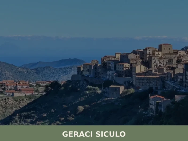
Geraci Siculo
What to see in Geraci Siculo, Italy? Discover this mountain village at 1077 m, an I Borghi più belli d'Italia member, and its San Bartolomeo feast. Explore its historic core and Madonie views.
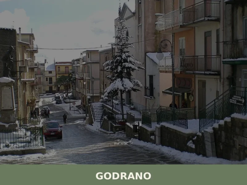
Godrano
What to see in Godrano: from the Bosco della Ficuzza Reserve to the Palazzina Reale, churches and cuisine of the Sicani hinterland at 693 m above sea level.
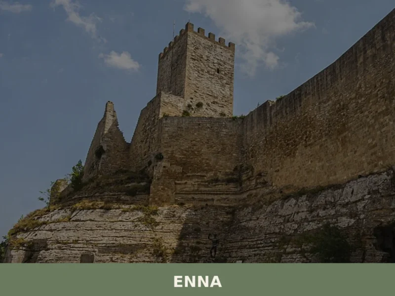
Enna
Discover Enna, a breathtaking village perched in the heart of Sicily, Italy. Explore its rich history, stunning landscapes, and timeless charm.
Gratteri
Gratteri, a medieval village in the province of Palermo: history, mother church and stone streets. Discover how to visit it and how to get there from the Madonie.
Gangi
What to see in Gangi: Explore this Sicilian village at 1011m. Discover its rich history, typical cuisine, and the vibrant Sagra della Spiga. Plan your visit today!
Catania
Discover Catania, a captivating village in Sicily, Italy. Explore its rich history, stunning architecture, local culture, and hidden gems waiting to be found.
Roccamena
What to see in Roccamena, a village at 480 m in the province of Palermo: main church, Monte Genuardo reserve, rural farmsteads, local food and practical info.
Aliminusa
Morning light hits the limestone facades along Corso Umberto at a low angle, turning the walls the colour of raw honey. A few voices carry across the piazza — unhurried, familiar. Aliminusa is a village of just over a thousand people, set at 450 metres above sea level in the hills of the Palermo province, […]
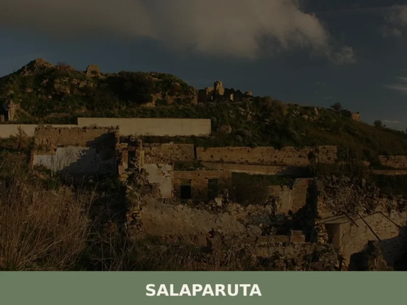
Salaparuta
what to see in salaparuta, Italy: Explore this Belice Valley village, 171 meters above sea level, known for its DOC wine and the San Giuseppe feast on March 19. Discover local history and attractions.
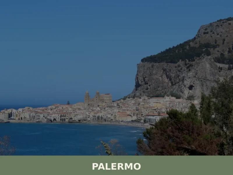
Palermo
What to see in Palermo: from the Palatine Chapel mosaics to Ballaru00f2 Market. Home to 654,987 people and 2 PAT-certified products. Plan your visit with this complete guide.


🏡 Know San Michele di Ganzaria better than we do?
If you’re a local or have been there, your knowledge matters: add what’s missing or fix a detail on this page.