


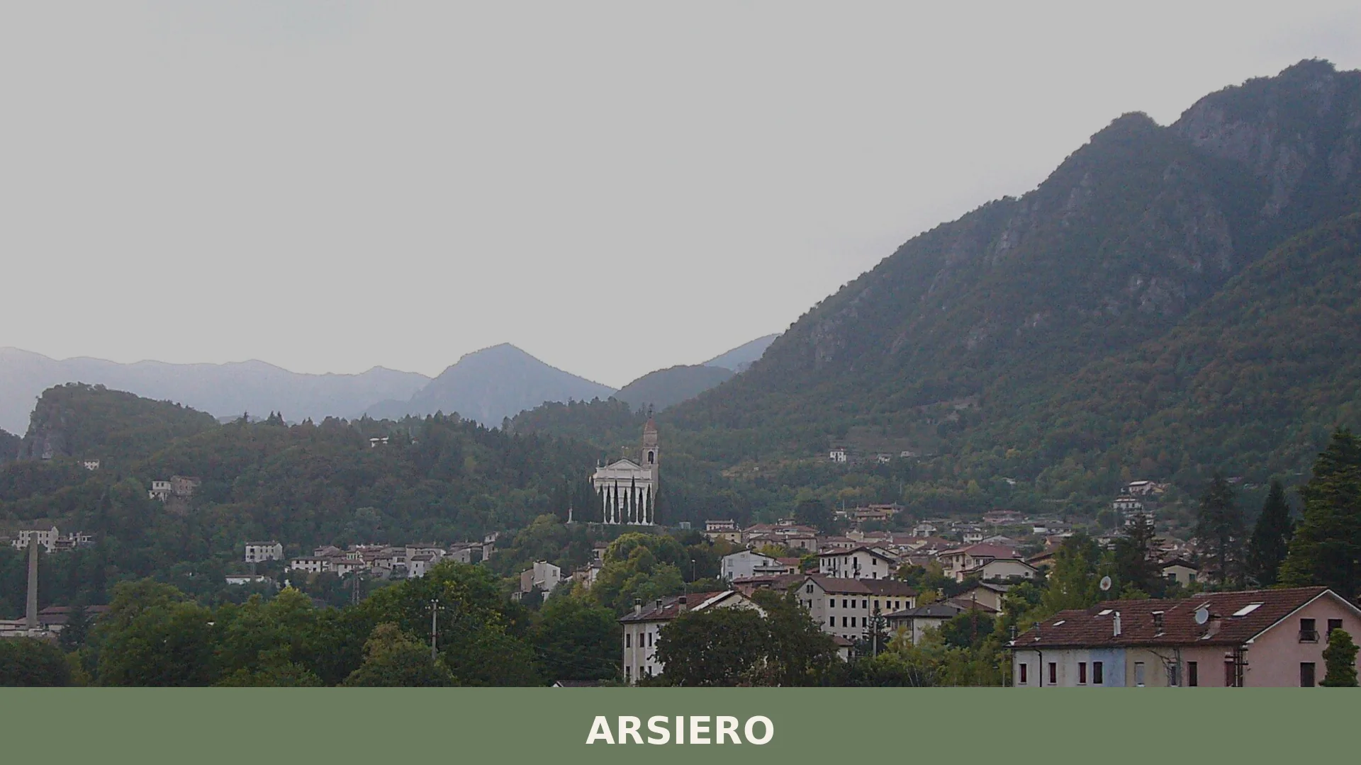

Arsiero is a mountain commune of around 3,045 inhabitants in the province of Vicenza, Veneto, set at 352 metres where the torrents Astico and Posina converge, with a documented history reaching back t
Discover Arsiero
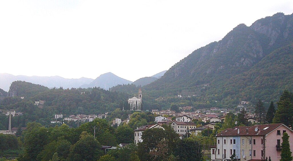
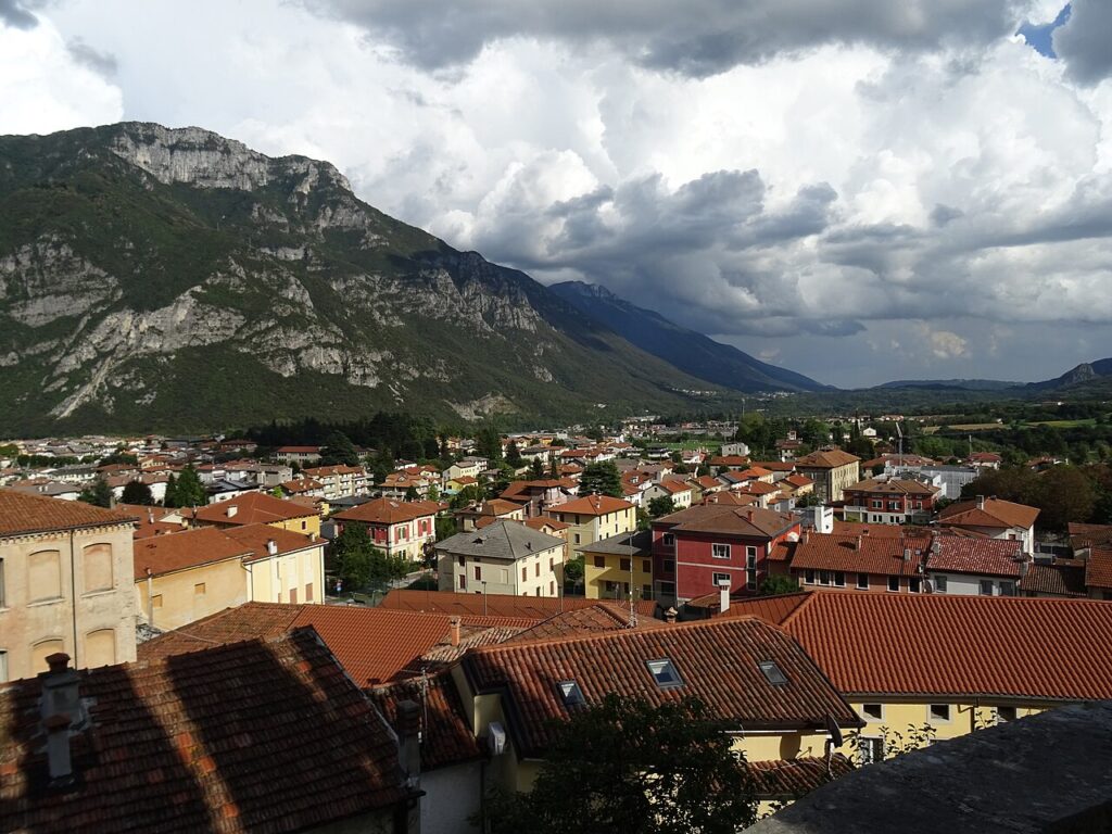
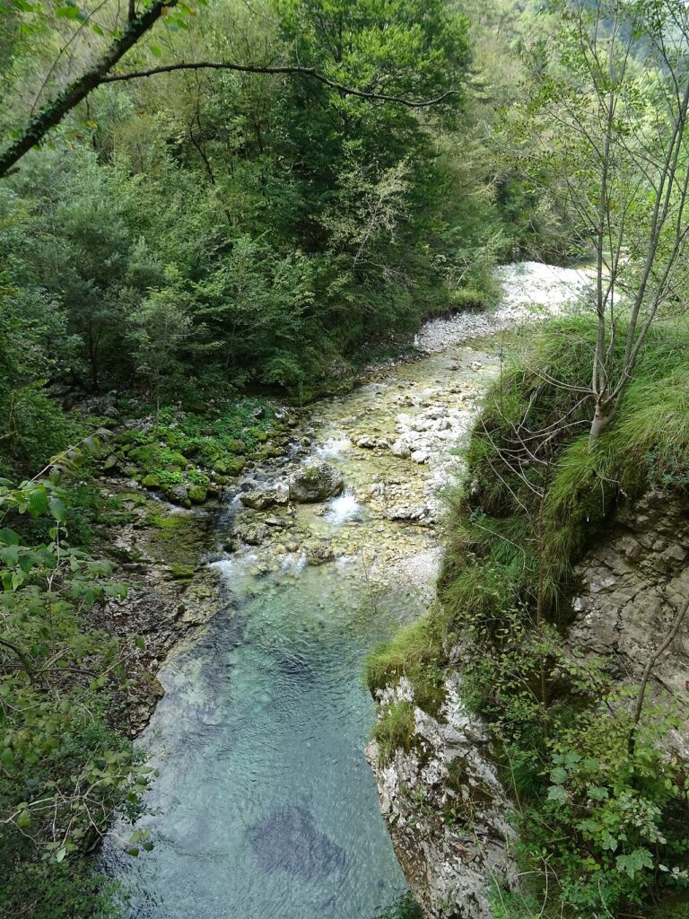
Arsiero is a mountain commune of around 3045 inhabitants in the province of Vicenza, Veneto, sitting at 356 metres above sea level and covering roughly 41.19 square kilometres where the torrents Astico and Posina converge. It belongs to a compact basin — the Conca di Arsiero or Conca di Velo — ringed by peaks that include Monte Toraro (1,897 m), Monte Campomolon (1,853 m), Monte Cimone (1,225 m) and Monte Caviojo (1,111 m), with the surrounding terrain mostly steep, rocky and cut by deep, wooded valleys of limestone character. Two relatively flat areas relieve the landscape: the confluence of the Astico and the Posina near the main settlement, and the plain around the hamlet of Castana, where the Val di Ferro, the valley of the Rio Freddo and the Posina meet.
A place shaped as much by its difficult terrain as by centuries of border conflicts, wartime occupation and quiet industrial enterprise, Arsiero village in Veneto carries a documented past stretching back to 975 AD, the date of the oldest surviving written record of the settlement, while holding the distinction of having been the furthest point reached by Austro-Hungarian forces during the 1916 Strafexpedition — a chapter that left lasting marks on its churches, its cemetery and its collective memory.
Arsiero village in Veneto: history from medieval fortifications to the twentieth century
Arsiero’s recorded history stretches back to at least 975 AD — the date of the earliest surviving document mentioning the settlement — though the area was probably inhabited in prehistoric times and almost certainly during the Roman period. Around the tenth century, a bishop’s castle known as the Castrum Arserii was raised here, most likely to shield the valley from Magyar raids; over the following centuries its lordship passed to the Velo, the Cendinara, the da Lezzo and finally the della Scala. The castle was probably demolished around the middle of the fourteenth century during the fierce conflict between the Paduans and the Scaligeri for control of the Vicentine territory. Smaller fortifications — the Castrum Tovi on Monte Tovo, the castle of the Piajo rock near the hill of San Rocco, and that of Monte Campo Azzaron — served as watchtowers around it.
In July and September 1202, representatives and nobles of the area gathered at the rural church of Sant’Agata di Cogollo to establish the boundaries and the regula of the communes of Arsiero, Velo, Cogollo, Caltrano, Chiuppano, Camisino and Castelletto di Rotzo. A further ruling in 1262, issued by Andrea Mocenigo, fixed the limits on Monte Toraro, Campomolon and Campedello with the lords of Beseno. From the fourteenth century, Arsiero came under Scaligeri dominion; administratively it was placed under the civil vicariate of Schio, an arrangement that remained in place until the end of the eighteenth century. At the close of the thirteenth century, Arsiero was also the birthplace of the earliest known member of the Thiene family — a certain Vincenzo del fu Tealdino, who is recorded as having been active as a moneylender in Thiene and the surrounding countryside.
The early modern period brought both conflict and calamity. During the War of the League of Cambrai, defensive bastions were erected at Arsiero and Forni in 1507–1508 to slow the advance of Maximilian I of Austria; by May 1510 the imperial forces had swept across the plain and sacked the settlements. A devastating fire in December 1643 destroyed many homes — most roofed with thatch at the time — deepening the poverty already caused by repeated plague outbreaks. The Napoleonic era brought severe famine and epidemic disease, with hundreds of deaths recorded; conditions improved after 1815 under the Kingdom of Lombardy–Venetia. The late nineteenth century saw the rise of local industry, most notably the Cartiera Rossi paper mill.
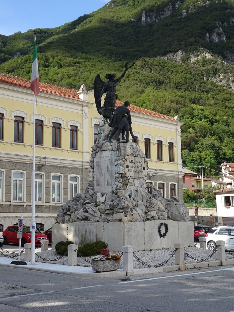
The First World War left the deepest mark on Arsiero. The town was evacuated on 18 May 1916 and occupied from 27 May to 26 June by troops of the Austro-Hungarian XX Army Corps — the furthest point reached by imperial forces during the Strafexpedition. Italian artillery fire in the effort to retake the town destroyed, among other things, the roof of the parish church, which was never restored to its original form. The population returned only at the start of 1919 to begin rebuilding; a monumental ossuary with a votive lamp was erected in the military cemetery in 1925. During the Second World War, eight Jewish refugee families were interned in Arsiero; six of those subsequently arrested were deported to Auschwitz in late January 1944 and perished there. The commune was awarded the War Merit Cross by royal decree on 19 January 1918.
Churches, Fortifications and Memorials in Arsiero
Arsiero’s built heritage centres on several churches of medieval and early modern origin, the remains of a network of medieval fortifications, and a military cemetery from the First World War — together they trace the village’s long history from episcopal lordship to the front line of 1916.
Church of San Michele Arcangelo
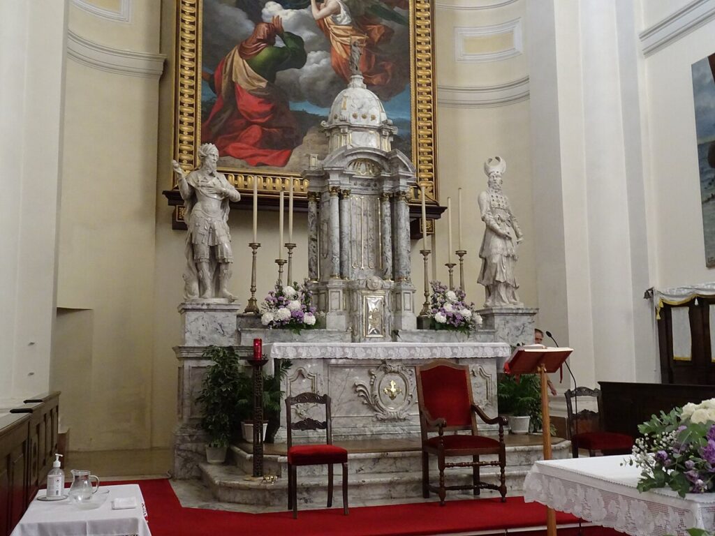
The arcipretale church dedicated to San Michele Arcangelo stands on the height where, according to documentary sources, an ancient castle once rose. The building was struck by Italian artillery during the Austrian occupation of May–June 1916: cannon fire destroyed the roof, which was never restored to its original form.
Church of Santa Maria dell’Angiadura
Situated near the cemetery, this church is recorded in a list dating from the first half of the fifteenth century. It has four altars and is built in Romanesque style — the only stylistic detail confirmed by the sources. Its last significant restoration was carried out in 1945.
Church of San Pietro, Castana
Built by the inhabitants of Castana and Tovo, this church obtained its licence on 29 December 1797 and was blessed in November 1803. It was destroyed during the First World War and rebuilt in 1925, then elevated to the status of a parish in 1957.
Oratory of San Rocco
Located in the Piaggio district, the oratory was built in 1576 to mark the end of a plague epidemic and restored in 1630. In 1944 it was blown up by partisans during the Second World War.
Church of San Rocco and Cappella Votiva
Two further places of worship — the church of San Rocco and a votive chapel — are recorded among Arsiero’s religious buildings, though the sources provide no further detail about their history or appearance.
Medieval Fortifications
The Castrum Arserii, probably built in the tenth century as an episcopal castle to defend against Magyar raids, stood on the height above the village. It passed through the hands of several noble families — the Velo, the Cendinara, the da Lezzo, and the della Scala — before being destroyed around the middle of the fourteenth century during conflicts between the Paduans and the Scaligeri. Around it stood a number of smaller defensive structures: the Castrum Tovi on Monte Tovo, the castle of the Rocca di Piajo near the hill of San Rocco, and a fortification on Monte Campo Azzaron, of which traces were still visible in the nineteenth century.
Military Cemetery and Ossuary
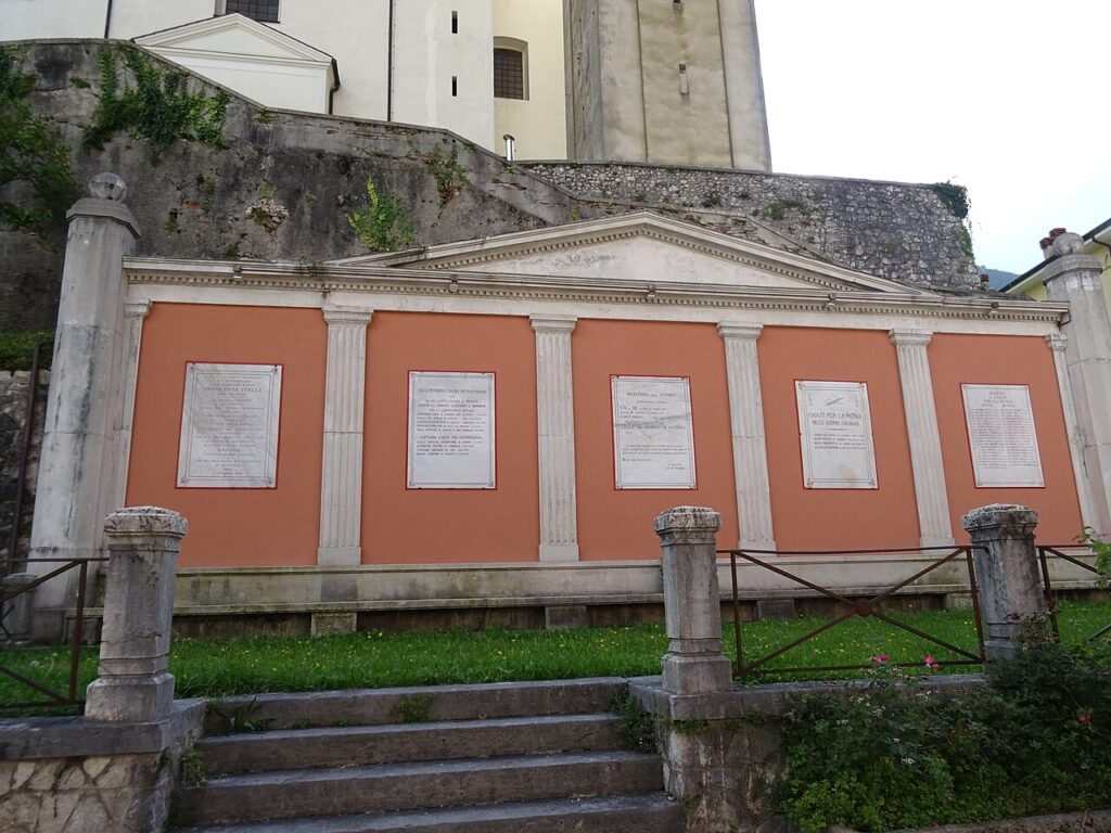
At the centre of the military cemetery stands a monumental ossuary with a votive lamp, built in 1925. The cemetery is a direct legacy of the fighting that made Arsiero the furthest point reached by Austro-Hungarian forces during the Strafexpedition of 1916. The commune was awarded the War Merit Cross — Croce al merito di guerra — by royal decree in January 1918.
Certified Tastes from the Arsiero Area and the Vicenza Highlands
The Arsiero area sits within a wider Vicenza province whose food landscape is anchored by several certified products, most notably Asiago DOP cheese, produced in the highlands not far from the village, and Asparago Bianco di Bassano DOP, one of the most celebrated white asparagus traditions in northern Italy.
Other certified products associated with the broader provincial and regional territory include Ciliegia di Marostica IGP, the prized cherry of the Marostica hills, Grana Padano DOP, Prosciutto Veneto Berico-Euganeo DOP, and Mortadella Bologna IGP. None of these should be taken as exclusive local specialities of Arsiero itself, but visitors passing through the Vicenza province will find them readily at markets and tables throughout the area.
The territory also falls within a wine-producing region of considerable variety. Nearby appellations include Breganze DOC, Colli Berici DOC, and Gambellara DOC, alongside the sparkling Lessini Durello DOC. Among the DOCG designations within reach of the province, Amarone della Valpolicella and the Prosecco appellations of Conegliano Valdobbiadene represent the most internationally recognised names. Regional traditional liqueurs — including egg liqueur and digestivi produced in the Veneto tradition — round out the picture for those interested in local spirits.
Reaching Arsiero and Planning Your Visit to the Posina Valley
Arsiero is most conveniently reached by car from Vicenza, approximately 30 km away and around 35 minutes by road, making it a practical day trip from the provincial capital; the nearest town, Schio, lies roughly 15 km distant and takes about 20 minutes to reach. The village sits at 356 metres above sea level at the confluence of the Astico and Posina torrents, within a mountain basin encircled by peaks reaching nearly 356 metres.
Spring and early summer bring the most balanced conditions for a visit: the valley is green, the mountain roads are open, and the surrounding terrain — limestone highlands with beech and fir forests at altitude, carpino nero lower down — rewards walkers and drivers alike. Autumn is equally appealing, with foliage across the wooded slopes and quieter roads. Winter access is possible but the high mountain routes to Monte Toraro (1,897 m) and Monte Campomolon (1,853 m) may be restricted by snow.
Visitors combining Arsiero with a wider itinerary might pair it with Marostica, roughly 40 km away and about 50 minutes by road, where the IGP cherry tradition and the famous chess square make for a complementary stop. For those exploring the Lessinia area further east, Selva di Progno offers a contrasting valley landscape within the same broader mountain arc.
| Departure | Distance | Time |
|---|---|---|
| Vicenza | approx. 30 km | approx. 35 min |
| Marostica | approx. 40 km | approx. 50 min |
| Schio | approx. 15 km | approx. 20 min |
These practical references help organise the journey clearly, while the village itself is best understood slowly and on foot once you arrive.
Frequently asked questions about Arsiero
When is the best time to visit Arsiero?
Late September is ideal, coinciding with the Feast of San Michele Arcangelo on 29 September, the village's patron saint celebration. Summer (June–August) offers warm weather for hiking mountain trails around Monte Toraro and Monte Campomolon. Autumn brings cooler temperatures and clearer visibility of the surrounding limestone peaks. Winter can be challenging due to mountain terrain and altitude of 356 metres.
How do I reach Arsiero from major cities?
Arsiero is located in the province of Vicenza, Veneto. The nearest significant transport hub is Vicenza itself, approximately 40 kilometres away. From Vicenza, you can reach Arsiero by car (roughly 45–50 minutes via regional roads) or by local bus services operated by regional transport authorities. The village sits in a mountain basin where the Astico and Posina torrents converge, accessible primarily by private vehicle or organised coach services.
What outdoor activities are available in Arsiero?
Arsiero offers excellent hiking opportunities in the Conca di Arsiero basin, surrounded by peaks including Monte Toraro (1,897 m), Monte Campomolon (1,853 m), and Monte Cimone (1,225 m). The limestone terrain features deep wooded valleys ideal for trekking. The confluence areas of the Astico and Posina rivers, and the Val di Ferro near Castana, provide flatter alternatives. Routes are typically accessible through CAI (Italian Alpine Club) marked trails in the Vicenza Highlands region.
What is historically significant about Arsiero?
Arsiero has documented history dating to 975 AD. Most notably, it was the furthest point reached by Austro-Hungarian forces during the 1916 Strafexpedition in World War One. This historical chapter left permanent marks on the village's churches, cemetery, and collective memory. Medieval fortifications also shaped the settlement during centuries of border conflicts. These historical sites remain important cultural landmarks today.
How long should I plan to spend in Arsiero?
A day visit allows exploration of the village's historical sites, including churches and memorials from World War One, plus a moderate hiking excursion to nearby peaks. A weekend visit (2–3 days) enables multiple mountain trails and deeper engagement with local heritage and landscape. The compact basin setting makes the village accessible on foot, though full appreciation of surrounding valleys and summits requires additional time for serious trekking.
📷 Photo Gallery — Arsiero
In Veneto More villages to discover
Belluno
 Hills
Hills
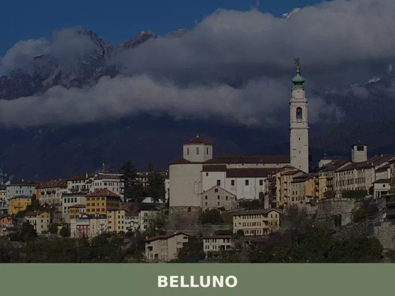
What to see in Belluno: a city at 389m with Venetian palaces, a Baroque bell tower and Alpine views. Plan your visit with this complete guide. Includes food and travel tips.
Bevilacqua
 Mountain
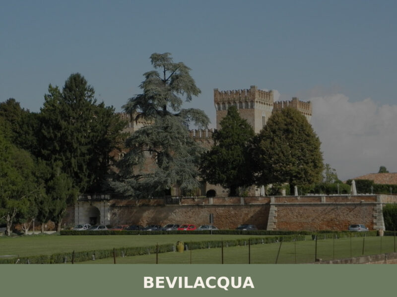
A castle rising over the Fratta River, fewer than 1,800 inhabitants, and the quiet agricultural heart of the Veronese plain. Here's what to see in Bevilacqua.
Velo Veronese
Mountain
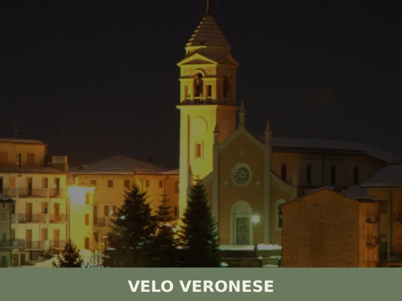
At 1,087 metres above sea level, on the eastern slope of the Lessinia range in the Verona province, Velo Veronese has 770 inhabitants spread between its central nucleus and the scattered contrade (hamlets) across the plateau. Anyone wondering what to see in Velo Veronese should know that this municipality is the main gateway to the […]

Marostica
Hills
Marostica draws visitors with its world-famous living chess match and over 600 years of Scaligeri and Venetian architecture. The IGP cherry alone is worth the detour.
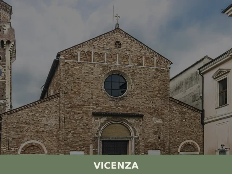
Vicenza
 Plains
Village of Vicenza: Explore 1 architectural masterpiece, the Olympic Theatre, and taste traditional baccalà. Plan your Italy trip now!
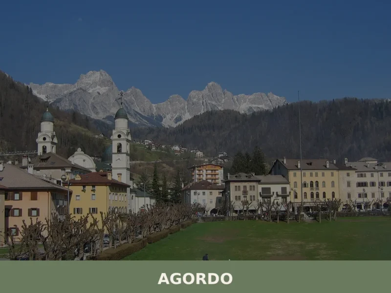
Agordo
Mountain
Discover what to see in Agordo, Veneto: the Valle Imperina mine, the 1867 Mining School, Ladin culture, and the Cordevole valley in the Belluno Dolomites.
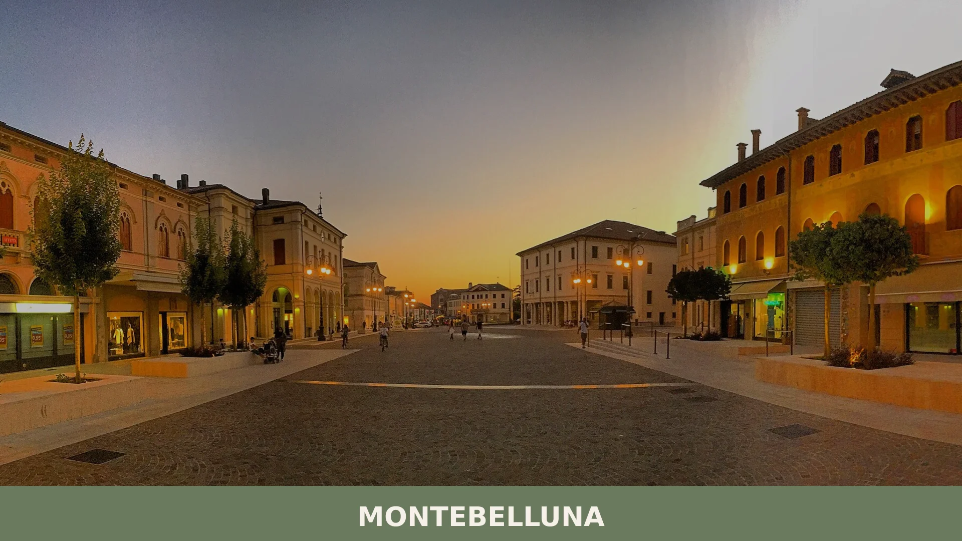
Montebelluna
Plains
Montebelluna is a historically layered town of around 31,000 inhabitants in the province of Treviso, Veneto, strategically positioned at the mouth of the Piave valley where plain meets pre-Alpine foot
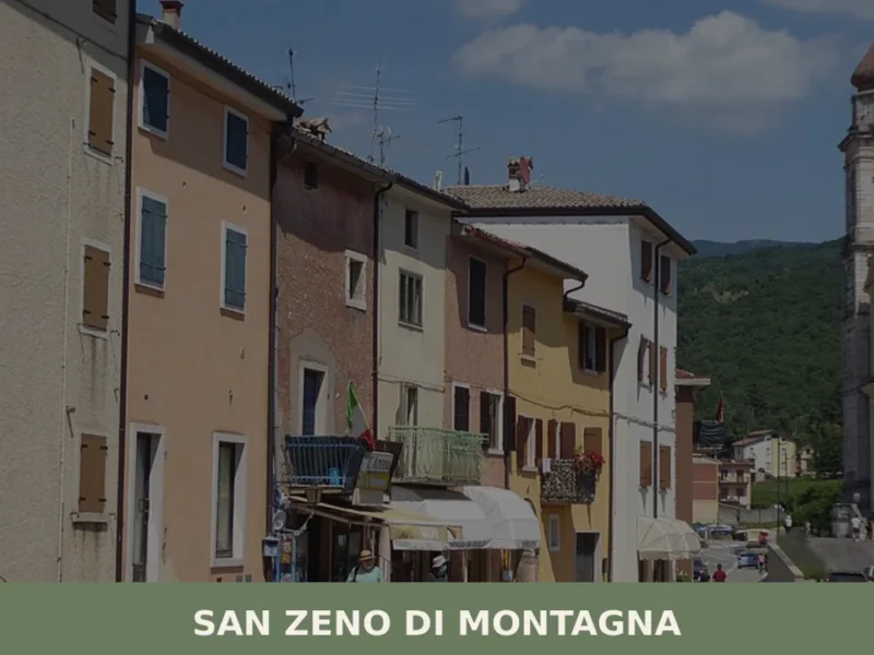
San Zeno di Montagna
Mountain
At 680 metres above sea level, on the eastern slope of Monte Baldo, San Zeno di Montagna has 1,376 inhabitants spread across a constellation of contrade — Lumini, Castello, Villanova, Ca’ Montagna — each retaining its own architectural and topographic identity. The municipal territory extends from 300 to 2,200 metres in altitude, a range that […]
Palù
Plains
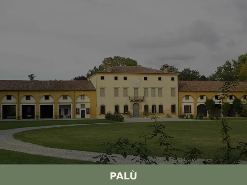
Palù has 1,266 inhabitants and occupies a stretch of the Veronese plain between the municipalities of Zevio and Ronco all’Adige, roughly fifteen kilometres south-east of the provincial capital. Its territory, covering just 8.5 square kilometres, is crossed by a network of drainage ditches and reclamation canals that still define the geometry of fields planted with […]
Cazzano di Tramigna
Plains
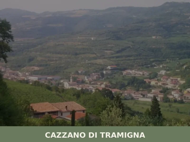
Cazzano di Tramigna has a population of 1,502 and occupies a basin at 100 metres above sea level in the Val Tramigna, a side valley that opens to the east of the Valpolicella area near Verona. The Tramigna stream — from which the village takes part of its name — crosses the municipal territory before […]


🏡 Know Arsiero better than we do?
If you’re a local or have been there, your knowledge matters: add what’s missing or fix a detail on this page.