


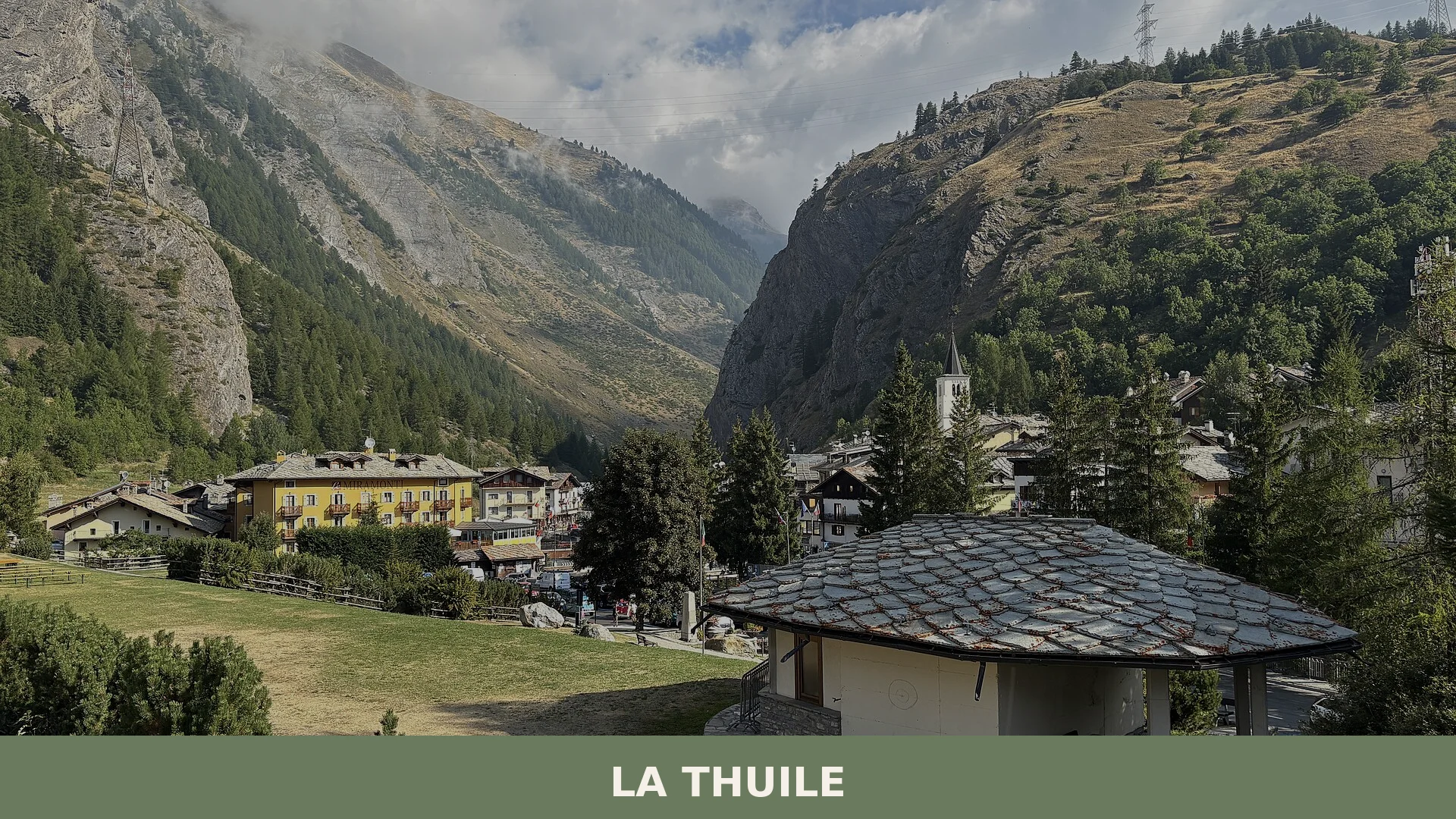

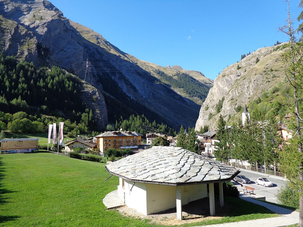
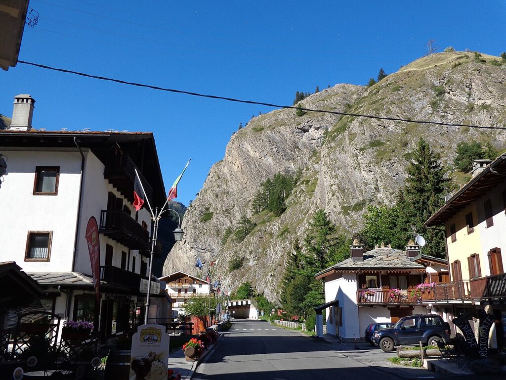
La Thuile is an Alpine municipality at 1,455 metres in the Aosta Valley, a historic mountain crossing between Italy and France with 774 residents and over 126 square kilometres of high-altitude landsc
Discover La Thuile
La Thuile is a mountain commune of some 774 residents, sitting at 1441 metres above sea level in the Aosta Valley region of north-western Italy, within a territory of roughly 126.13 square kilometres classified as inner mountain zone. The village carries the postcode 11016 and takes its name from a form already recorded in medieval documents as Thuilia; its residents are known as thuileins. The patron saint is San Nicola, whose feast is marked on 9 May, and the main place of worship in the village bears the same dedication.
La Thuile village in Aosta Valley occupies a position that has shaped its entire story: perched close to an ancient alpine pass once travelled by Roman legions and later contested by French and Savoyard powers across several centuries, the settlement has accumulated layers of history visible today in its surviving fortifications and in the protected glacial landscapes of the Monte Bianco area that surround it. Walkers can follow the Sentier Transfrontalier, a cross-border trail of some 15 kilometres, while the table of the Aosta Valley offers regional specialities — among them Fontina DOP, Jambon de Bosses DOP and Lard d’Arnad DOP — that reflect the pastoral traditions of this corner of the Alps.
La Thuile village in Aosta Valley: history and origins
La Thuile is an ancient mountain settlement whose documented human presence stretches back to Roman times, when the village bore the name Ariolica and the nearby Colle del Piccolo San Bernardo — then called Alpis Graia — served as a passage along the via delle Gallie, the consular road built under Augustus to connect the Po Valley with Gaul. In the medieval period the settlement was known as Thuilia, and from around the tenth century the territory fell among the earliest domains of the House of Savoy, alongside Tarentaise and Maurienne.
The strategic position of the pass made La Thuile a recurring theatre of conflict between the Kingdom of France and the Kingdom of Sardinia across several centuries. Seventeenth-century fortifications were raised in the locality of Mont du Parc, and French troops occupied the village in 1704 and again in 1794. The current place name appears in documents from 1760; during the Fascist period it was replaced by the name Porta Littoria, from 1939 to 1946.
The twentieth century brought further conflict to the valley. When Italy entered the war against France in June 1940, fighting reached the area, and after September 1943 both Italian and French partisan forces clashed with German occupation troops. In an unusual episode, units of the Fiamme Verdi and soldiers of the Repubblica Sociale Italiana’s Divisione Alpina Monterosa jointly halted advancing French troops, a standoff that ended only in May 1945 following American intervention. Under the 1947 Treaty of Paris, a small portion of communal territory — around three square kilometres, including the Albergo del Piccolo San Bernardo — was ceded to France.
Churches, Fortifications and the Glacial Landscape of La Thuile
La Thuile’s built heritage centres on a Romanesque-era parish church, a series of military fortifications spanning several centuries, and a protected glacial environment at the edge of the Mont Blanc massif.
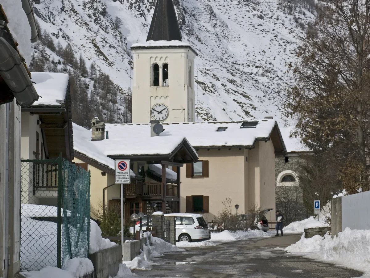
Church of San Nicola
The parish church dedicated to San Nicola dates to the twelfth century. It serves also as the focus of the town’s patronal celebration, held on 9 May.
Fortifications
The strategic position of the valley is reflected in layers of military architecture from different periods. In the locality of Mont du Parc, along the route toward the Colle San Carlo, stand the remains of seventeenth-century fortifications associated with the defensive works of the Savoy forces. In the nineteenth and twentieth centuries, further fortifications, trenches and defensive structures were built along the high ridgelines that then marked the frontier with France; substantial remains are still visible today. The Colle della Croce also retains its own fortified works, listed among the recognised military heritage of the area.
Ambienti Glaciali del Monte Bianco
Beyond built structures, the commune falls within the protected area known as the Ambienti Glaciali del Monte Bianco. The territory holds numerous high-altitude lakes — among them the Lac du Rutor and several glacier lakes above 1441 metres — accessible via trails including the cross-border Sentier Transfrontalier.
Mountain Flavours of La Thuile and the Aosta Valley
La Thuile sits within a wider Valle d’Aosta tradition of mountain dairy and cured-meat production, with the area’s most recognised products carrying DOP certification: Fontina, the region’s celebrated aged cheese, and Valle d’Aosta Fromadzo, a lighter semi-hard cheese made from partly skimmed milk. The province also contributes two prized cured meats — Valle d’Aosta Jambon de Bosses, a mountain-cured ham, and Valle d’Aosta Lard d’Arnad, a distinctive cured fatback — both protected under European DOP status.
Beyond the certified products, the broader regional pantry includes traditional preparations worth knowing before you travel: Boudin (a spiced blood sausage), Mocetta (air-dried cured meat from local livestock), and Ratafià (a fruit-based liqueur). Local wines travel under the Valle d’Aosta / Vallée d’Aoste DOC designation. These are provincial and regional traditions rather than specialities exclusive to La Thuile itself, but they define the table you will encounter in the valley’s mountain restaurants.
Reaching La Thuile and Planning Your Stay
La Thuile (1,455 m above sea level) is most easily reached by road through the Aosta Valley via the SR26, turning off toward the upper vallone di La Thuile, with the town of Aosta serving as the main regional hub roughly 40 km to the east; the village also sits close to the French border at the Colle del Piccolo San Bernardo, making cross-border day trips to La Rosière a practical option for those exploring the Espace San Bernardo ski area. Visitors arriving by motorway should exit at Aosta Ovest or Morgex on the A5 Turin–Mont Blanc motorway. The nearest international airport connections run through Turin or Geneva.
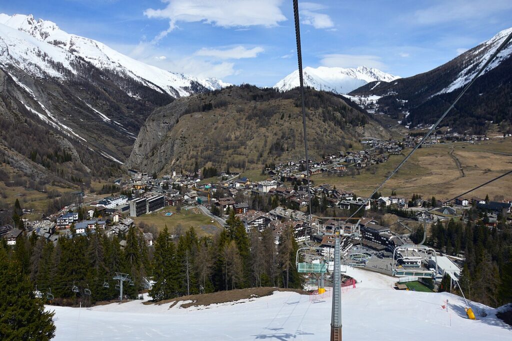
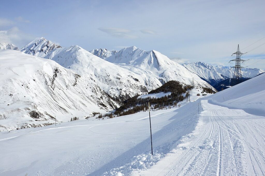
The resort operates across two distinct seasons. Winter draws skiers and snowboarders to one of the Valle d’Aosta’s established alpine ski areas, with runs linking internationally to the French station of La Rosière. Summer opens the territory to hiking, with the Sentier Transfrontalier (around 15 km) offering a cross-border trail experience, and to glacier exploration within the protected area of the Ambienti Glaciali del Monte Bianco. The high-altitude lakes — including Lac du Rutor at approximately 2,423 m — are accessible on foot during the warmer months. The valley’s strategic position near the Colle del Piccolo San Bernardo also makes La Thuile a natural base for touring neighbouring communities; villages further into the Aosta Valley such as Gignod, Gressan, and Introd are all reachable within a comfortable drive.
| Departure | Distance | Time |
|---|---|---|
| Aosta | approx. 40 km | approx. 45 min |
| Courmayeur | approx. 20 km | approx. 25 min |
These practical references help organise the journey clearly, while the village itself is best understood slowly and on foot once you arrive.
Frequently asked questions about La Thuile
How do you get to La Thuile by car or public transport?
By car, take the A5 motorway (Turin–Mont Blanc) and exit at Morgex, then follow the SS26 and the regional road up the La Thuile valley for approximately 15 kilometres. The nearest railway station is Pré-Saint-Didier, served by trains from Aosta; from there, regional buses operated by SVAP connect to La Thuile. Journey time from Aosta by bus is roughly one hour. The village sits about 35 kilometres west of Aosta city centre.
When is the best time to visit La Thuile?
La Thuile suits visitors year-round. Winter (December–March) draws skiers to its international-standard ski area linked with La Rosière in France. Summer (late June–September) is ideal for hiking, mountain biking and trail running at altitude. The patron saint feast of San Nicola is celebrated on 9 May, offering a glimpse of local tradition between seasons. Spring and autumn shoulder periods provide quieter visits with pleasant temperatures and stunning foliage or snowmelt scenery.
What ski facilities does La Thuile offer in winter?
La Thuile's ski area, marketed as Espace San Bernardo, spans roughly 160 kilometres of pistes shared with La Rosière across the Little Saint Bernard Pass. It features runs suited to all levels, a snow park, and reliable snow cover thanks to its altitude starting at 1,441 metres. The resort is well regarded for its quieter slopes compared to busier Valle d'Aosta resorts, and lift passes covering the international Franco-Italian domain are available at the village ticket offices.
Are there documented hiking trails around La Thuile in summer?
Yes. Beyond the Sentier Transfrontalier mentioned in the article, La Thuile is a staging point on the Tour du Mont Blanc, one of the world's most celebrated long-distance alpine treks. The area also offers access to the Piccolo San Bernardo Pass (2,188 m) and the Rutor Glacier, with routes catalogued by the CAI (Club Alpino Italiano). The local trail network connects to Gran Paradiso National Park paths, giving walkers options ranging from easy valley walks to demanding high-altitude itineraries.
Where can visitors park and how long should they plan for a stay in La Thuile?
Free and paid parking areas are available at the village entrance and near the ski lift bases; in peak winter season early arrival is advisable as spaces fill quickly. For a day trip, four to six hours covers the village centre, the church of San Nicola and a short trail. To explore the ski area, Rutor Glacier approaches or cross-border hiking properly, a minimum of two to three nights is recommended. Several hotels, residences and B&Bs operate in the village throughout the year.
📷 Photo Gallery — La Thuile
In Aosta Valley More villages to discover
Gignod
 Mountain
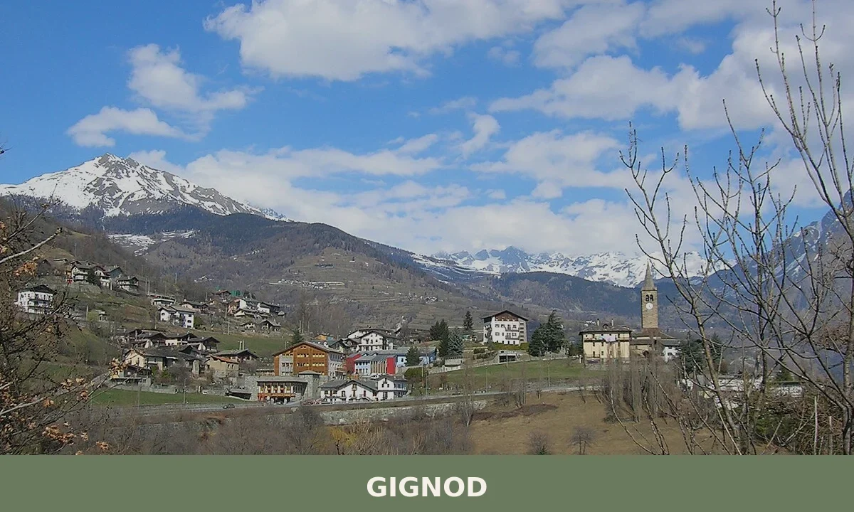
Gignod is a mountain comune in the Aosta Valley, lying at 944 metres between the Valpelline and the Valle del Gran San Bernardo, with a history stretching from prehistoric settlement to a living calen
Aymavilles
Mountain
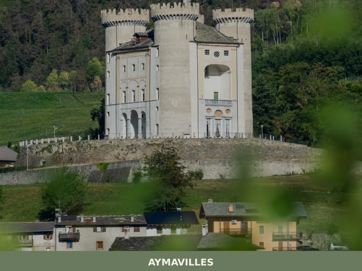
What to see in Aymavilles, Italy: explore the Roman Pont d'Aël bridge over a 66 m gorge and Alpine trails. Discover top attractions in Valle d'Aosta.
Arvier
Mountain
Discover what to see in Arvier, Valle d'Aosta: medieval borough, feudal tower, Enfer d'Arvier vineyards, local food and practical travel tips.
Allein
Mountain
Discover what to see in Allein, a 198-resident comune sparso in the Gran San Bernardo Valley, Valle d'Aosta. History, food, and travel tips.
Gaby
Mountain
Gaby is a small mountain commune in the Valle d'Aosta, set at 1,050 metres in the Lys valley between Issime and Gressoney-Saint-Jean, where Walser heritage, francoprovençal culture and alpine scenery
Arnad
Mountain
Discover what to see in Arnad: medieval Château Vallaise, Lard d'Arnad DOP, historic irrigation channels and terraced vineyards in Italy's Aosta Valley.
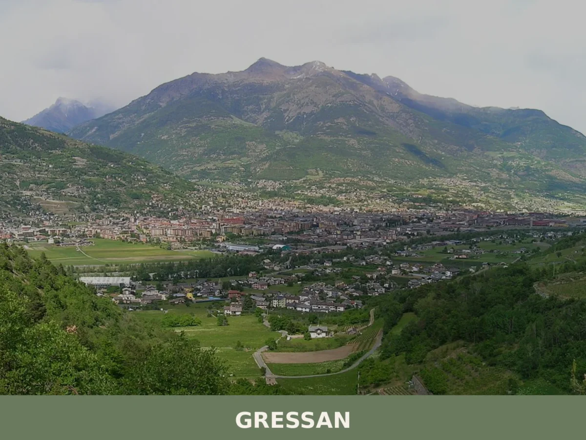
Gressan
Mountain
Gressan is a mountain commune of around 3,300 inhabitants in the Valle d'Aosta, rich in medieval heritage, natural landscapes and alpine traditions.
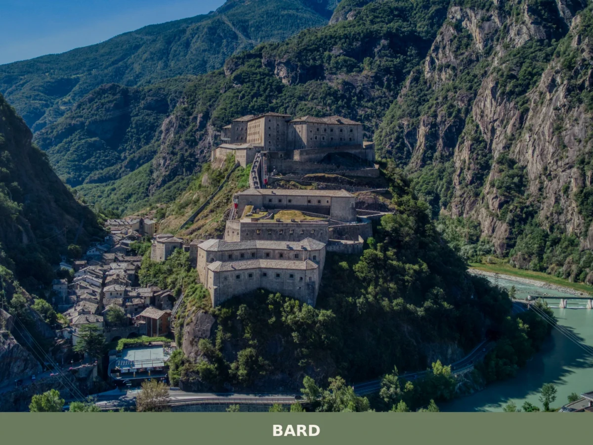
Bard
Mountain
What to see in Bard, Valle d'Aosta, Italy: explore the Fort, medieval streets and local food. Bard sits at 400 m. Discover top attractions and how to get there.
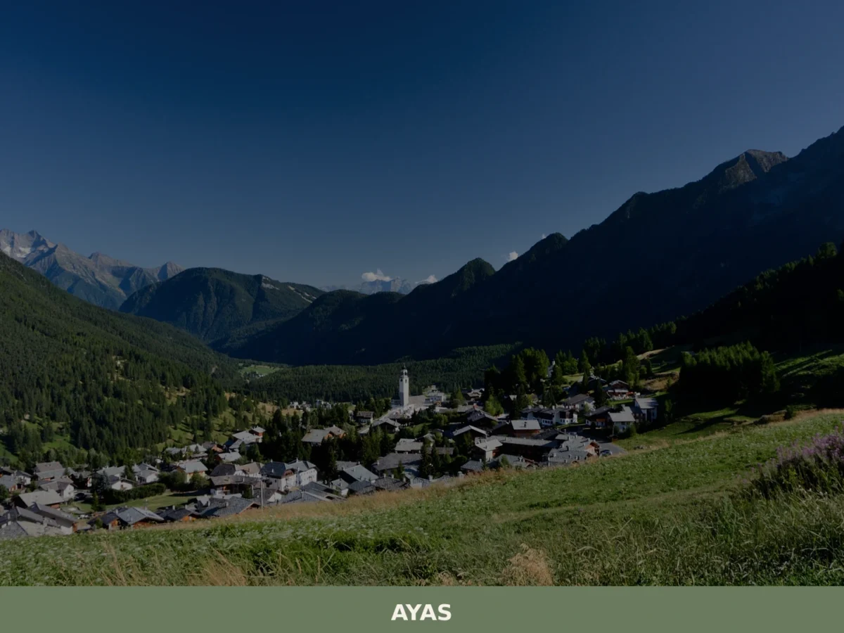
Ayas
Mountain
What to see in Ayas, Valle d'Aosta, Italy: explore alpine villages at 1,600 m, medieval chapels and local cuisine. Discover top attractions and how to get there.
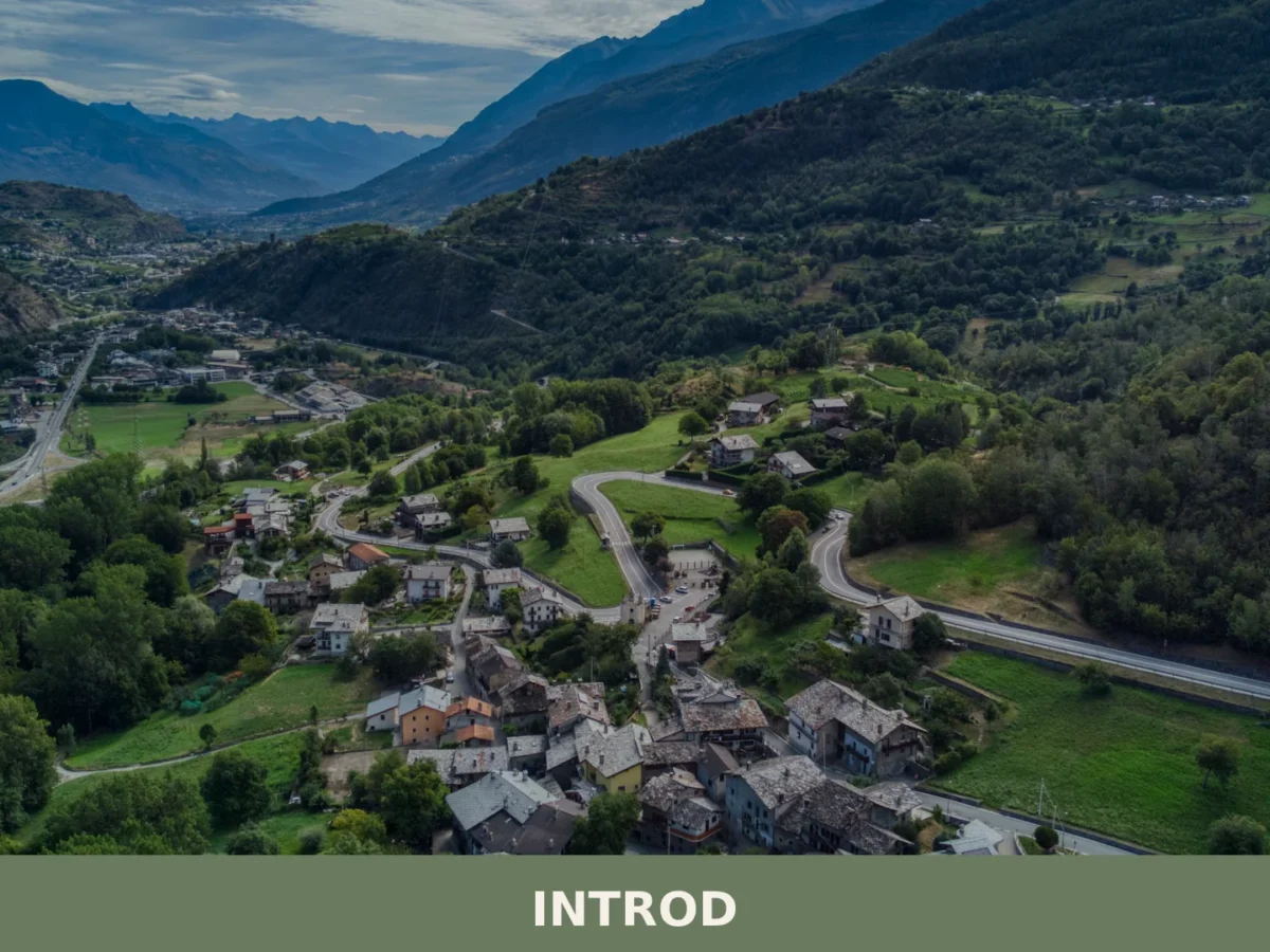
Introd
Mountain
Introd is a mountain commune in the western Aosta Valley, sitting at 876 metres where two glacial valleys open into the Parco Nazionale del Gran Paradiso, with a history stretching back five thousand

🏡 Know La Thuile better than we do?
If you’re a local or have been there, your knowledge matters: add what’s missing or fix a detail on this page.