


Candela
What to see in Candela, Puglia, Italy: explore a hilltop village at 474 m with Roman-era roots, the Feast of San Rocco and local wheat traditions. Discover it now.
Discover Candela
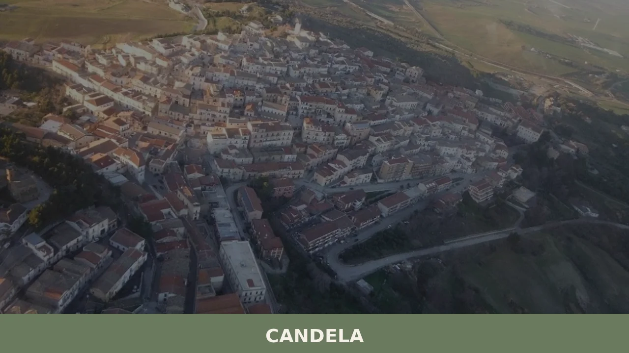
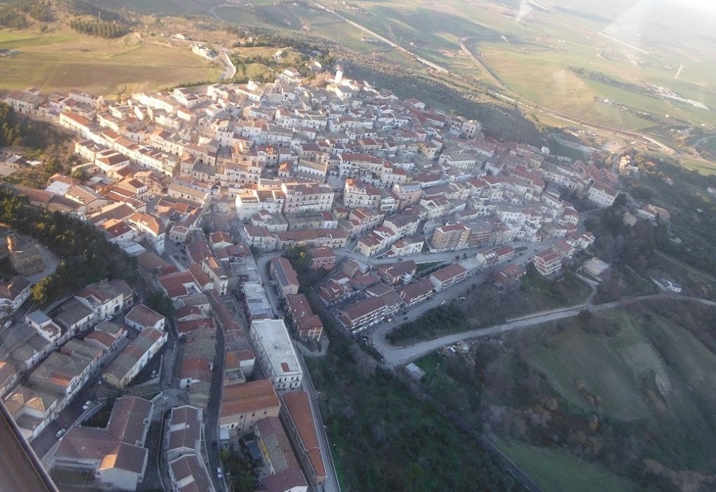
The wind that crosses the Apennine ridge above Foggia loses speed before it reaches Candela, dropping into the bowl of clay hills that hold the village on three sides. At 474 m (1,555 ft) above sea level, the streets run along a spine of compacted limestone and local stone, the older facades showing exposed coursework where render has worn back.
The plateau edge opens without warning onto a wide panorama of the Tavoliere plain, one of the largest flat agricultural basins in southern Italy, spread out below like a field map.
Deciding what to see in Candela starts with understanding its position: a hill village of 2,487 inhabitants in the province of Foggia, Puglia, Italy, sitting between the Apennine foothills and the edge of the Tavoliere.
Visitors to Candela find a compact historic centre organised around its main civic and religious buildings, a consistent tradition of patron-saint celebrations on 16 August, and an agricultural hinterland that has shaped local food culture for centuries. The Candela area also serves as a practical base for reaching several significant sites across northern Puglia within a single day.
History of Candela
The territory around Candela shows evidence of settlement from at least the Roman period, when the road network linking the Adriatic coast to the Campanian interior passed through this section of the Apennine foothills. The position on a defensible ridge above the Tavoliere made the site strategically relevant during the early medieval period, when Norman and then Swabian powers reorganised the settlement hierarchy of the Capitanata, the historic administrative division that corresponds broadly to the modern province of Foggia.
By the time Frederick II of Swabia consolidated his grip on the Kingdom of Sicily in the early thirteenth century, the hilltop settlements of this zone were already integrated into a feudal agricultural system supplying grain and livestock to the lowland markets.
The Angevin period, which followed the Swabian dynasty from 1266 onward, brought administrative reorganisation to the entire region.
Candela, like neighbouring settlements in the Subappennino Dauno, passed through a succession of feudal lordships whose names are recorded in the provincial land registers. The village’s urban core took its present form largely during the fifteenth and sixteenth centuries, when local stone construction replaced earlier timber structures, and the main religious and civic buildings established the spatial logic that is still readable today.
The population fluctuated considerably in this period due to plague cycles and the broader economic instability affecting southern Italy under Spanish governance.
The nineteenth century brought the administrative reforms of the Bourbon Kingdom of the Two Sicilies and, after 1861, incorporation into the unified Italian state. Candela was assigned to the province of Foggia within the new national structure. The late nineteenth and early twentieth centuries saw significant emigration from the village, a pattern common across the Subappennino Dauno, as agricultural employment contracted and industrial centres elsewhere in Italy and abroad drew workers away.
The population figure of 2,487 recorded in recent municipal data reflects a settlement that has stabilised at a fraction of its nineteenth-century peak, a trajectory shared by most hill villages in this part of the Foggia interior, including the nearby city of Lucera, which served for centuries as the administrative and ecclesiastical reference point for the surrounding villages.
What to see in Candela, Puglia: top attractions
The Historic Centre and the Ridge Panorama
The oldest section of the urban fabric sits along the highest line of the ridge, where the street plan follows the natural contour of the limestone spur rather than any imposed grid.
Stone construction dominates, with facades built in the local calcareous material that weathers to a pale ochre. The ridge edge, accessible from several points within the old centre, gives an unobstructed view over the Tavoliere plain that extends for 50 km (31 mi) on clear days toward the Adriatic coast. The best light for this panorama falls in the late afternoon, when the low angle picks out the field geometry of the plain below.
Wear flat-soled shoes: the paving in the oldest alleys is irregular and slopes sharply toward the valley side.
The Church of San Rocco
The parish church dedicated to San Rocco stands as the principal religious building in Candela and the focal point of the village’s most important annual event. The structure incorporates fabric from several construction phases, with the oldest visible masonry dating to the post-medieval period and later interventions modifying the facade and interior.
San Rocco, venerated as a protector against plague and epidemic disease, was adopted as patron of Candela in a period when such protection had direct practical meaning for communities exposed to recurring outbreaks. The interior preserves devotional objects associated with the patron’s cult. The church is the departure point for the 16 August procession and can be visited on most mornings outside of service times.
The Subappennino Dauno Landscape and Hiking Routes
Candela sits at the eastern margin of the Subappennino Dauno, a band of clay and limestone hills running between 400 m (1,312 ft) and 1,000 m (3,281 ft) that separates the Apennine spine from the Tavoliere flatlands. The terrain immediately west and north of the village offers walking on unpaved tracks through cereal fields, pasture and patches of Mediterranean scrub.
Distances are moderate: the main ridge paths cover between 4 km (2.5 mi) and 10 km (6.2 mi) as loops from the village.
Spring, from late March through May, is the most productive season for this kind of walking, when the clay soils have dried enough to be passable but the vegetation is still green and wildflowers are visible along the field margins. Carry water from the village, as there are no reliable water sources along the open hill routes.
Civic Architecture of the Main Square
The main square of Candela concentrates the public buildings that give the village its administrative and social centre: the municipal building, the church, and the spaces used for the August festival. The square’s layout reflects the spatial conventions of southern Italian hill towns established between the sixteenth and eighteenth centuries, with a roughly rectangular open space defined by masonry buildings of two or three storeys.
The Comune di Candela municipal building faces onto this space.
The paving, replaced in a late twentieth-century intervention, uses stone that references the local material palette. The square is quieter on weekday mornings and most active on Sunday afternoons and during the August festival period.
Views Toward the Daunia Plateau and Surrounding Countryside
From several points on the village perimeter, the terrain drops sharply into the clay valleys characteristic of the Daunia sub-region. These valleys, carved by seasonal watercourses, are largely uncultivated and support scrubland vegetation that turns grey-green in summer and briefly yellow in autumn. The elevation of 474 m (1,555 ft) places Candela above the lowland heat inversion that traps haze over the Tavoliere in July and August, making the village noticeably cooler than Foggia city, which lies approximately 40 km (24.9 mi) to the east.
This elevation difference becomes relevant when planning what to see in Candela during summer months, as the morning and evening hours are genuinely comfortable even in late July.
Local food and typical products of Candela
The food culture of Candela is rooted in the agricultural economy of the Capitanata, which for centuries was one of Italy’s primary grain-producing zones.
The Tavoliere plain below the village supplied durum wheat in quantities significant enough to make Foggia province the reference point for southern Italian pasta production. Hill villages like Candela participated in this system as both consumers and producers of wheat-based foods, with traditions oriented around the preservation and transformation of local cereals, legumes and sheep-milk products. The pastoral transhumance routes that crossed this part of Puglia also introduced sheep-rearing practices that still influence the local table.
The typical dishes of Candela follow the pattern of the Subappennino Dauno interior. Pasta e fagioli, made with tubular pasta and dried borlotti beans cooked with local olive oil, garlic and sometimes a piece of cured pork, is a standard first course in domestic cooking and in the few local restaurants.
Agnello al forno, oven-roasted lamb seasoned with rosemary and local wine, reflects the pastoral heritage of the area.
Orecchiette, the ear-shaped pasta typical of Puglia, appears here with vegetable sauces based on wild chicory or broccoli rabe rather than the meat ragù more common in the coastal zones. Bread is made from locally milled durum wheat semolina, giving it a dense, slightly sweet crumb and a thick crust that keeps well over several days, a practical quality in a village where daily deliveries were historically unreliable.
Sheep-milk cheese produced in the hill farms surrounding Candela follows techniques common across the Subappennino Dauno. Fresh cacioricotta, a cheese occupying an intermediate category between ricotta and aged caciocavallo, is produced by local farms and used grated over pasta or eaten fresh with bread.
No EU-certified designation of origin (PDO or PGI) has been formally mapped to Candela in the available sources, though several products typical of the broader Foggia province — including durum wheat semolina and certain olive oils — are produced in the municipality’s agricultural territory under regional practices consistent with certified production methods in neighbouring areas.
During the August festival period centred on the feast of San Rocco on 16 August, food stalls and informal vendors set up in the main square and surrounding streets.
This is the most practical time for visitors to sample local street food formats — grilled meats, fried dough preparations known as frittelle, and seasonal vegetables dressed with local oil. Outside August, the village’s small number of bars and alimentari (general food shops) stock local products and represent the main point of purchase for regional food items.
Festivals, events and traditions of Candela
The central event in Candela’s annual calendar is the feast of San Rocco, the village patron, celebrated on 16 August.
The day follows the established structure of southern Italian patron festivals: a solemn Mass in the morning, a procession through the streets of the historic centre carrying the statue of the saint, and evening celebrations that extend into the night with music, fireworks and communal gathering in the main square. San Rocco’s association with protection from epidemic disease gave the cult particular intensity in communities that had experienced plague in the early modern period, and that historical weight remains present in the devotional character of the celebration even today.
The August period around the 16th concentrates most of Candela’s external visitor activity.
Residents who have emigrated to larger Italian cities or abroad return for the feast, temporarily reversing the demographic contraction of ordinary months. Food vendors, live music and local craft sellers occupy the public spaces around the main square. The combination of the festival itself and the cooler temperatures of the hilltop position makes mid-August the most active period in the village’s social life.
Other local traditions tied to the agricultural calendar — including practices associated with the wheat harvest — are less formally organised but remain visible in domestic and neighbourhood customs.
When to visit Candela, Italy and how to get there
The best time to visit Candela depends on what a visitor is looking for. Spring, specifically April through early June, offers the most favourable walking conditions in the surrounding hills: the clay paths are dry, temperatures at 474 m (1,555 ft) stay between 14°C and 24°C (57°F and 75°F), and the agricultural landscape is at its most varied. This is also the recommended season for those interested in what to see in Candela in terms of the outdoor environment rather than festival life.
Summer, particularly mid-August, is the right choice for anyone wanting to witness the San Rocco celebrations on 16 August. The elevation makes the village significantly cooler than Foggia city or the coast during July and August, which is a practical consideration for visitors more broadly asking about the best time to visit Puglia in terms of heat management. Autumn is workable through October, with harvest-related activity in the surrounding fields. Winter brings cold winds from the Apennines and limited services.
Getting to Candela by car is the most practical option for international visitors. From Foggia, take the SS655 westward toward Melfi; Candela is reached via a junction approximately 38 km (23.6 mi) from Foggia city centre.
From the A16 motorway (Naples–Canosa di Puglia), exit at Candela, which is the village’s own motorway exit on this route. The A16 connects Naples to the west and Bari to the east, making Candela accessible as a day trip from both cities: Naples is approximately 160 km (99.4 mi) away and Bari approximately 150 km (93.2 mi). From Rome, the drive covers roughly 320 km (198.8 mi), taking approximately 3 hours via the A1 and A16. The nearest major railway station is in Foggia, served by Trenitalia on the main Adriatic line with connections from Rome, Naples, Bari and beyond.
From Foggia station, a car or taxi is required to reach Candela, as no direct public bus connection operates on a reliable schedule for tourists. The nearest international airports are Bari Karol Wojtyła Airport at approximately 160 km (99.4 mi) and Naples Capodichino Airport at approximately 170 km (105.6 mi).
For those planning a wider northern Puglia itinerary, Manfredonia on the Gargano coast lies about 60 km (37.3 mi) northeast and can be combined with a visit to Candela in a single day. International visitors should be aware that English is spoken infrequently in smaller shops and bars in Candela; carrying euros in cash is advisable, as card payment infrastructure is limited in village-scale establishments.
For those arriving from Bari and interested in the broader Puglia region, Acquaviva delle Fonti, situated in the Bari metropolitan area, makes a logical intermediate stop on the route north toward Foggia and Candela. Visitors to Candela can extend their trip south and east toward the Gargano promontory, where Peschici sits on a sea cliff above the Adriatic, offering a complete contrast to the inland hill landscape around Candela.
Frequently asked questions about Candela
What is the best time to visit Candela?
Spring (late March to May) is the best season: clay hill paths are dry and walkable, wildflowers line the field margins, and temperatures at 474 m are mild. Summer visits are worth planning around 16 August, the feast day of patron saint San Rocco, when the village holds its main procession departing from the Church of San Rocco. Even in late July, Candela sits noticeably cooler than Foggia city below, making morning and evening hours genuinely comfortable. Autumn offers clear skies and good panoramic visibility over the Tavoliere plain.
What are the historical origins of Candela?
The territory around Candela shows evidence of settlement from the Roman period, when roads linking the Adriatic coast to Campania passed through the Apennine foothills here. The defensible ridge above the Tavoliere gained strategic importance in the Norman and Swabian medieval periods, when the Capitanata was reorganised under feudal administration. By the thirteenth century, under Frederick II of Swabia, the hilltop was integrated into a grain and livestock supply system. The urban core took its present form largely in the fifteenth and sixteenth centuries. After 1861, Candela was assigned to the province of Foggia within unified Italy.
What to see in Candela? Main monuments and landmarks
The key site is the Church of San Rocco, the principal parish church and focal point of the 16 August patron-saint celebrations, which preserves devotional objects associated with the cult and is accessible most mornings outside service times. The historic centre along the limestone ridge features stone facades in pale ochre calcareous material and an irregular medieval street plan worth exploring on foot. The main square concentrates the municipal building, church and civic space in a layout typical of southern Italian hill towns from the sixteenth to eighteenth centuries. Wear flat-soled shoes on the uneven older alleys.
What are the main natural or scenic attractions of Candela?
Candela sits at the eastern margin of the Subappennino Dauno, a band of clay and limestone hills between 400 m and 1,000 m separating the Apennines from the Tavoliere flatlands. Unpaved tracks west and north of the village cross cereal fields, pasture and Mediterranean scrub in loop routes of 4 to 10 km. The plateau edge opens abruptly onto the Tavoliere plain, one of southern Italy's largest agricultural basins, visible for up to 50 km on clear days toward the Adriatic. Spring is optimal for walking; carry water from the village as no reliable sources exist along open hill routes.
Where to take the best photos in Candela?
The ridge edge of the historic centre offers the most dramatic viewpoint: the Tavoliere plain spreads below for up to 50 km on clear days, with field geometry clearly visible at low sun angles. Late afternoon light is best, when the descending sun picks out the patchwork of the agricultural basin. From several points on the village perimeter, the clay valleys carved by seasonal watercourses drop sharply below, offering close views of the uncultivated Daunia scrubland. The main square provides a compact architectural frame for photography of the civic and religious buildings.
Are there museums, churches or historic buildings to visit in Candela?
The Church of San Rocco is the principal religious building, incorporating masonry from multiple construction phases with the oldest fabric dating to the post-medieval period. It holds devotional objects associated with the patron-saint cult and is generally open on weekday mornings outside of service times. The municipal building faces onto the main square and is part of the civic architectural ensemble that defines the village centre. The historic centre itself, with its ridge-top street plan and stone construction in local calcareous material, functions as an open-air record of settlement evolution from the fifteenth century onward.
What can you do in Candela? Activities and experiences
Walking the hill tracks of the Subappennino Dauno is the primary outdoor activity, with loop routes of 4 to 10 km accessible directly from the village. Spring offers the best conditions for wildflower observation along field margins. The 16 August feast of San Rocco is the main cultural event, centred on a street procession from the church through the historic centre. Food and wine experiences focus on domestic-style cooking in local restaurants, with pasta e fagioli, oven-roasted lamb and fresh cacioricotta cheese representing the agricultural traditions of the Capitanata hinterland.
Who is Candela suitable for?
Candela suits walkers and hiking enthusiasts looking for quiet hill terrain away from tourist crowds, with accessible loop routes on the Subappennino Dauno ridge. Travellers interested in southern Italian vernacular architecture and the spatial logic of feudal hill towns will find the historic centre rewarding. Couples seeking a cooler, uncrowded summer base — noticeably fresher than Foggia in July and August — will appreciate the elevation and panoramic setting. Food-focused visitors interested in the grain and pastoral traditions of the Capitanata, and those timing a visit around the 16 August San Rocco festival, also fit this village well.
What to eat in Candela? Local specialties and typical products
The local table reflects the agricultural economy of the Capitanata grain zone. Pasta e fagioli, made with tubular pasta and dried borlotti beans cooked in local olive oil with garlic and cured pork, is a standard first course. Agnello al forno, oven-roasted lamb with rosemary and local wine, reflects the area's pastoral heritage. Orecchiette appears with wild chicory or broccoli rabe rather than meat ragù. Bread is made from durum wheat semolina with a dense crumb and thick crust. Fresh cacioricotta, a sheep-milk cheese from surrounding hill farms, is eaten fresh or grated over pasta.
📷 Photo Gallery — Candela
Nearby Villages near Candela
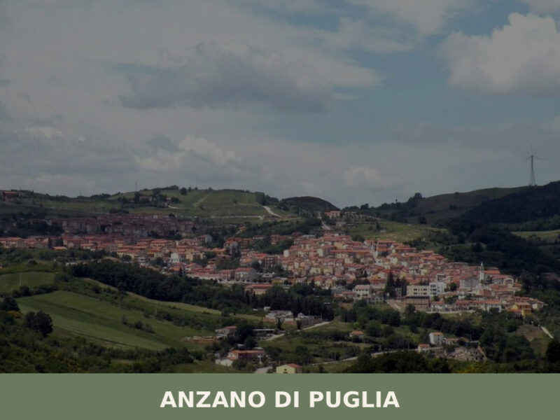
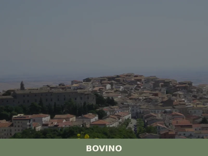
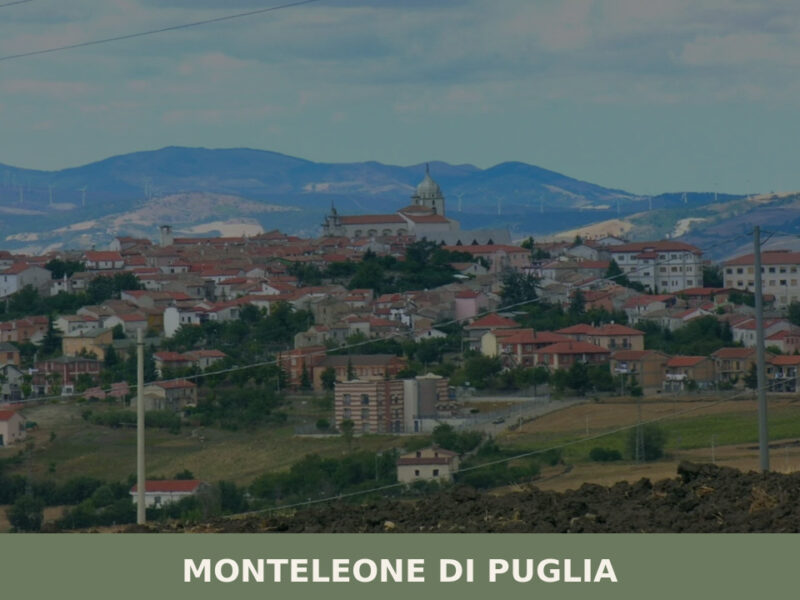
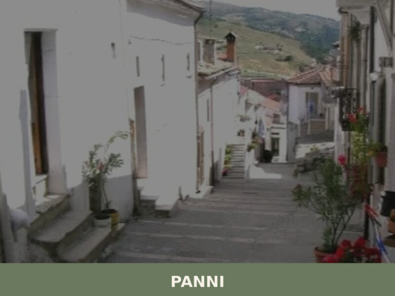
In Apulia More villages to discover
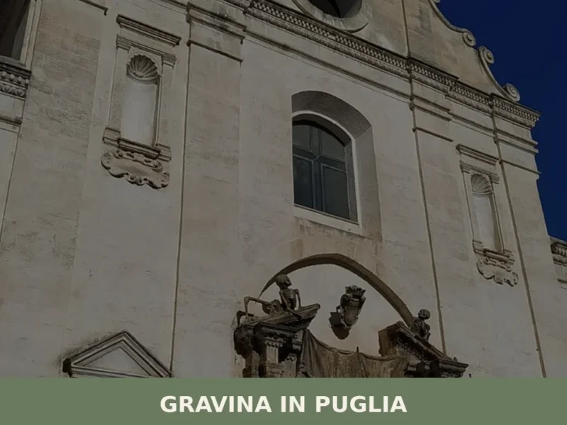
Gravina in Puglia
In 1092, Humfred of Hauteville confirmed the privileges of the cathedral dedicated to Santa Maria Assunta, a document that fixes in the historical record the ecclesiastical rank of Gravina in Puglia well before Frederick II chose it as an imperial hunting reserve. Today, anyone walking along the edge of the gravina — the karstic canyon […]
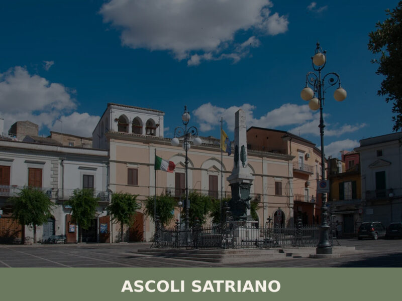
Ascoli Satriano
Discover Ascoli Satriano, an ancient hilltop village in Puglia's Daunia hills. From Roman bridges to Daunian treasures, here's your complete guide.
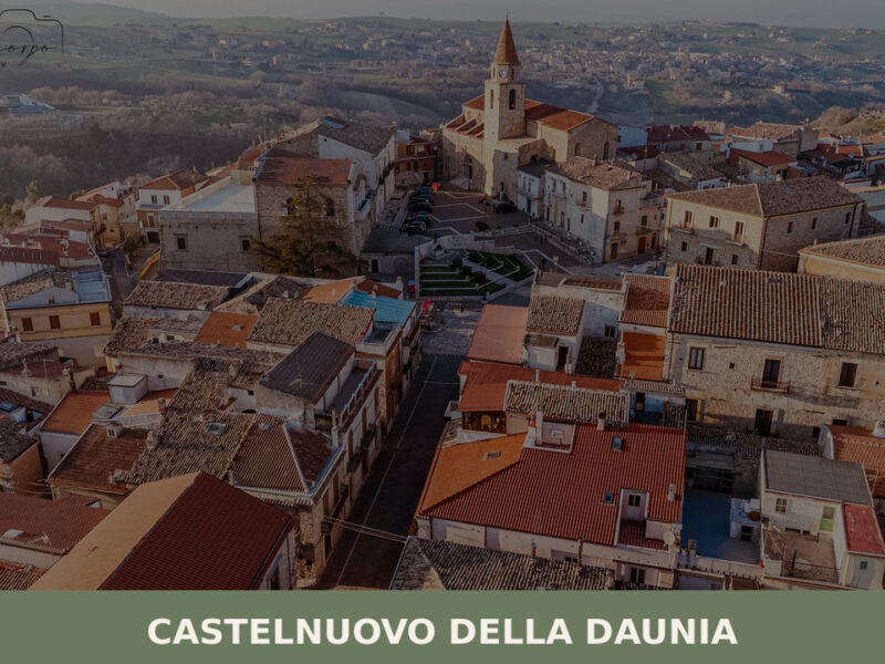
Castelnuovo della Daunia
A compact hill village at 543 metres in Puglia's Subappennino Dauno, Castelnuovo della Daunia offers medieval lanes, panoramic views over the Tavoliere, and the quiet rhythms of inland southern Italy.
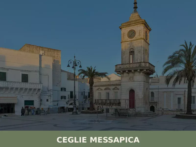
Ceglie Messapica
Discover what to see in Ceglie Messapica: the Ducal Castle, medieval chianche streets, ancient olive groves, karst caves and Puglia's finest local food.
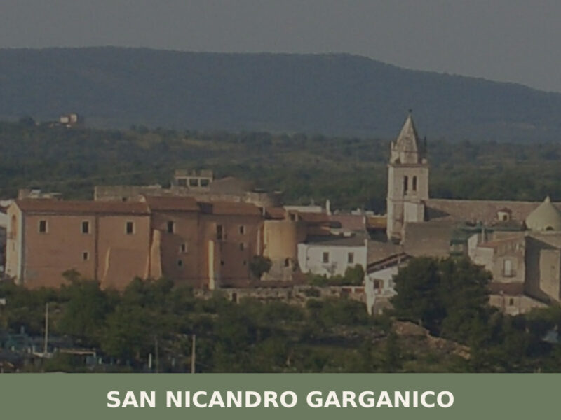
San Nicandro Garganico
A hilltop settlement on the Gargano promontory with a Norman castle, prehistoric dolmen, and a living agricultural culture shaped by wheat, olives, and limestone.
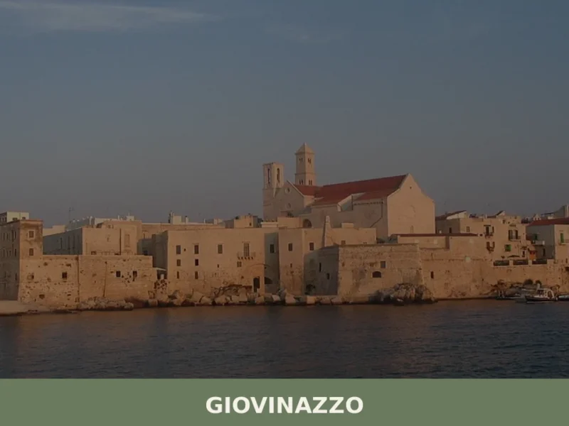
Giovinazzo
The walls of Giovinazzo’s old port form an irregular semicircle jutting out into the Adriatic Sea, visible from the SS16 state road that runs along the Bari coastline. This small city of 19,366 inhabitants, sitting at just 7 metres above sea level, retains a compact medieval historic centre, still partly surrounded by the original city […]
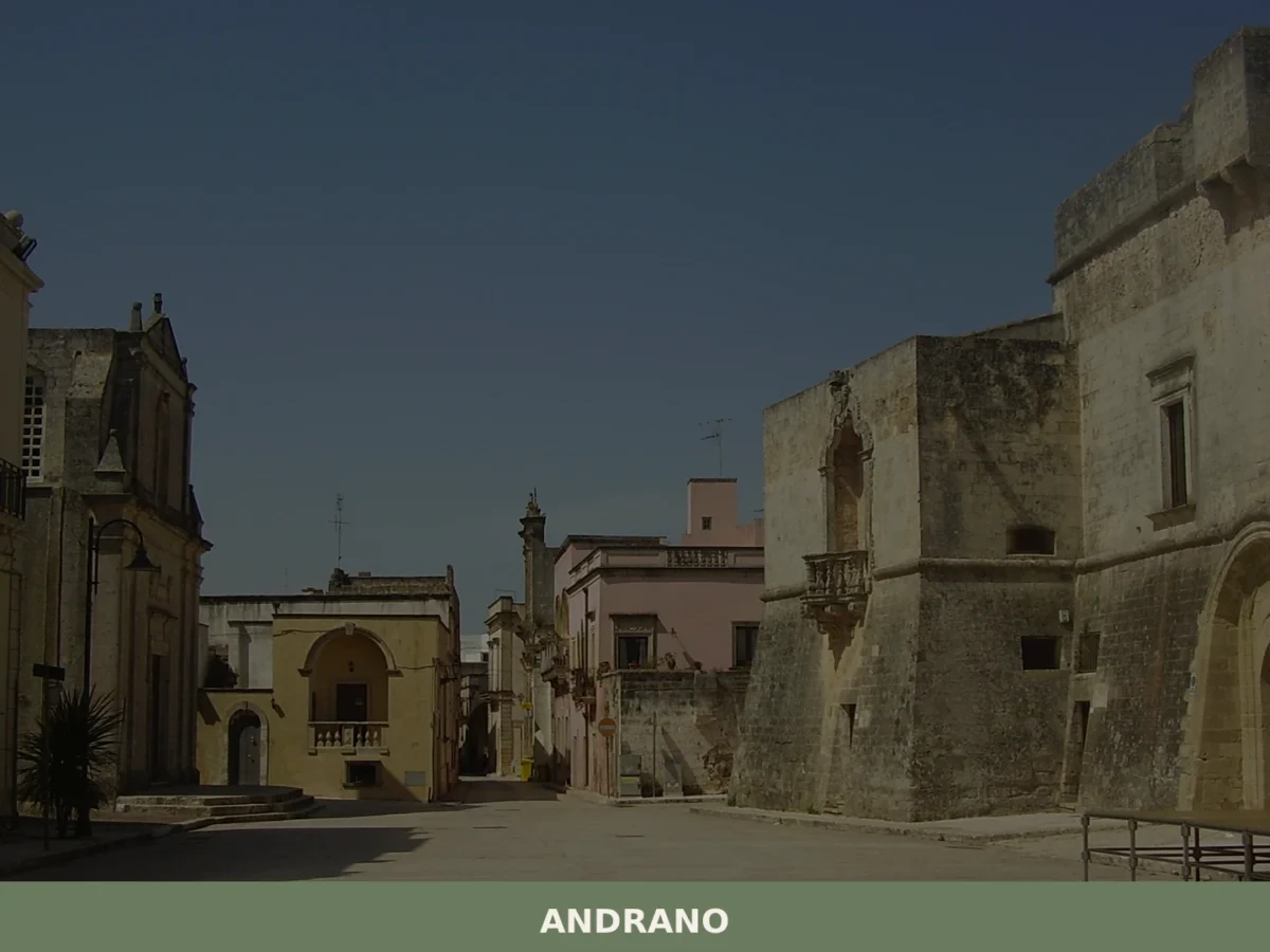
Andrano
Discover what to see in Andrano, a Lecce province comune with a medieval castello, Adriatic coastline and the hamlet of Castiglione d'Otranto. Complete travel guide.
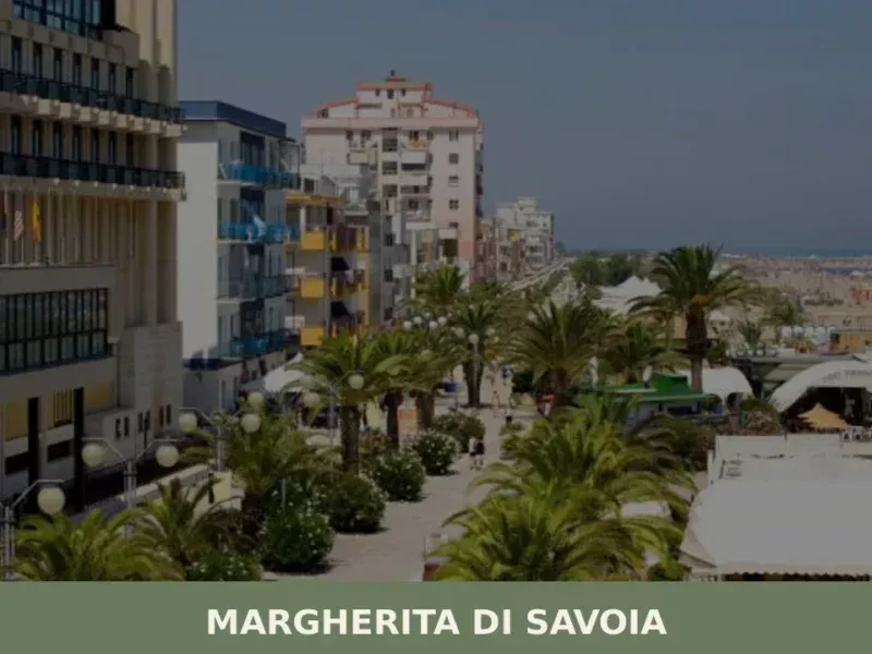
Margherita di Savoia
Discover what to see in Margherita di Savoia: Europe's largest salt flats, the historic Torre delle Saline, thermal baths and an Adriatic beach in Puglia.
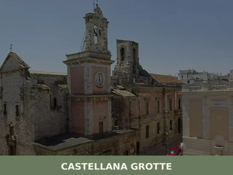
Castellana Grotte
In 1938, speleologist Franco Anelli descended for the first time into a karst chasm a few kilometres from the town centre, revealing to the world an underground system stretching over three kilometres — one of the most extensive in Europe. That discovery permanently transformed the identity of an agricultural municipality on the south-eastern Murgia, placing […]
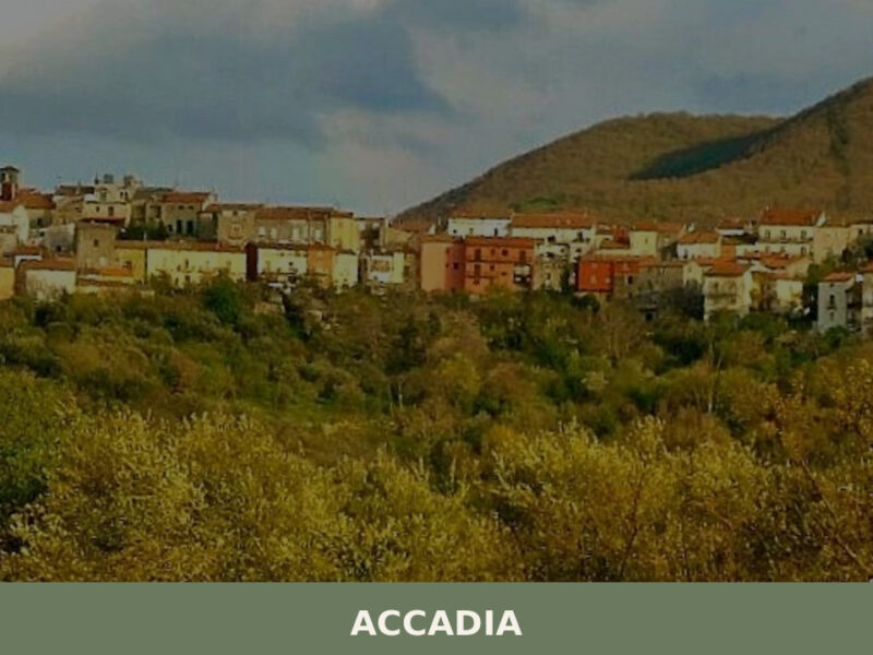
Accadia
Perched at 650 metres above sea level on the western edge of Puglia’s Subappennino Dauno, the small village of Accadia feels like a secret whispered between mountains and sky. Home to just over 2,200 inhabitants, this ancient hilltop settlement in the province of Foggia rewards visitors with crumbling medieval ruins, sweeping panoramas, and a fierce […]


🏡 Know Candela better than we do?
If you’re a local or have been there, your knowledge matters: add what’s missing or fix a detail on this page.