


Castelrotto
7,000 residents, three languages and one of the Alps’ highest-altitude market towns. Castelrotto offers medieval architecture, Ladin heritage and alpine pastures.
Castelrotto: Dolomite Village Between Sciliar and Alpe di Siusi
At 1,060 metres above sea level, where the edge of the Alpe di Siusi begins to open up and the Sciliar massif throws its shadow across farmsteads in the early evening, the air carries a particular quality of stillness broken only by cowbells and the distant toll of a church bell. Stone walls here absorb centuries of cold winters and bright summer light. The landscape is not decoration — it is infrastructure, the reason people settled, traded and built in this precise spot rather than anywhere else along the alpine arc.
Castelrotto, known in German as Kastelruth and in Ladin as Ciastel, draws visitors for two converging reasons: the immediate drama of its alpine setting within the natural park of the Sciliar, and a layered cultural identity shaped by three languages and a trading history that predates most modern borders. With a population of around 7,053, it is a functioning market town as much as a destination, and that distinction matters when you walk its streets.
From a Ruined Castle to a Market Town: the Long Story of Castelrotto
The name itself is the oldest document. Castelruptum — the ruined castle — appears for the first time in records from 982 to 987, when Bishop Albuino of Bressanone exchanged the income of the local church with Bishop Eticho of Augsburg. The exchange is administrative, almost dry, yet it confirms that a settlement already existed before that date, with its own ecclesiastical structure and economic weight. By 1173 the name had contracted to Castilrut, and by 1490 a document refers to it plainly as a rural village. Language tracks the shift from a fortified point on a map to a community with its own civic life.
In the thirteenth century the area came under the control of Count Mainardo II of Tyrol-Gorizia, then passed to the lords of Castelrotto. The castle itself changed hands more than once across the following two centuries. The Hauenstein family took possession in the early fifteenth century and it was under their tenure that the first large, permanent farmsteads were established in the surrounding territory — a sign that the economy was moving from military occupation toward agricultural production. Livestock farming became the real engine of local wealth: by 1600, sales of cattle from Castelrotto surpassed the volume traded at the Bolzano market fourfold, a figure that speaks to the scale of the alpine grazing economy and the commercial confidence of the community.
Among the notable figures connected to the castle’s later history was Michael Kraus, a Hungarian nobleman who arrived here through marriage and held lands near Lake Balaton. He became known locally for the charitable provisions he set up for the poor of Castelrotto, establishing a tradition of distributing bread and salt every October — a custom continued after his death. His nephew Jakob Kraus was ennobled by Emperor Rudolf II of Habsburg on 2 June 1607, and it was largely Jakob who oversaw the demolition of the old castle structure, replacing it with a chapel dedicated to Sant’Antonio for the village’s use. His son Georg Kraus later created a natural park with seven small chapels and three large crucifixes arranged along stations of the via crucis, completed in 1675. The Kraus family died out in 1847. Until 1924, Castelrotto also maintained its own district court, subsequently transferred to Chiusa.
The first written record of the settlement, dating to 982–987, records not a battle or a founding act but a simple exchange of church income between two bishops — suggesting that Castelrotto’s earliest documented identity was already civic and ecclesiastical rather than purely military.
Stone, Bell Towers and Ruins: the Places That Define the Village
Church of Santi Pietro e Paolo
The parish church dedicated to Saints Peter and Paul stands as the religious and visual anchor of the village. Its bell tower is the element most immediately associated with Castelrotto’s skyline, visible from the surrounding meadows and recognisable against the backdrop of the Dolomite peaks. The church serves the community’s patron saint celebration and remains in active liturgical use, which gives it a quality quite different from a purely heritage site. Visitors arriving in the central square will encounter it not as a monument to approach but as a building still embedded in daily life.
Villa Felseck
Among the civil architectural heritage of the village, Villa Felseck represents the tradition of noble and bourgeois residence that developed alongside the agricultural and commercial prosperity of the area. The villa is documented as part of the historic urban fabric, though visitors should verify current access conditions locally before planning a visit.
The Ruins of Castel Hauenstein
What remains of the old fortification associated with the Hauenstein family offers a direct, unmediated encounter with the medieval past of the settlement. The ruins include a substantial square tower, fragments of walls and traces of brick structures that indicate the site’s original nature as a fortified village. These are not reconstructed or restored: they are the actual residue of the medieval occupation, standing on the same ground described in documents from nearly a thousand years ago. The site connects directly to the etymology of the name Castelruptum — the broken, ruined castle.
The Ladin Hamlets: Bulla, Roncadizza and Oltretorrente
Three hamlets on the left slope of the Val Gardena — Bulla (German: Pufels, Ladin: Bula), Roncadizza (German: Runggaditsch, Ladin: Runcadic) and Oltretorrente (German: Überwasser, Ladin: Sureghes) — form a distinct cultural zone within the municipality. These settlements preserve a Ladin-speaking identity that, historically, extended even to the main village until the nineteenth century. Walking through them gives a clearer sense of how linguistic and cultural boundaries in this part of the Alps were never simply lines on a map but gradients shifting across valleys and altitudes.
The Former Railway Station at Sant’Osvaldo
The Sant’Osvaldo district retains a former station building, a remnant of the area’s earlier connections to the broader alpine transport network. It no longer functions as a transport hub, but the structure reads as a record of what was once a closer integration between the village and the surrounding valley system.
Winter Weddings and the Taste of the Alpine Calendar
Every winter, Castelrotto stages its traditional Bauernhochzeit — the peasant wedding — a reconstruction of the marriage customs practised by local farming families from the early twentieth century through to the 1950s. The timing was practical: weddings took place in winter because the agricultural calendar allowed it. Today the event involves multiple couples processing through the village on horse-drawn sleighs, dressed in period Trachten, with the cortege departing from the chapel of San Valentino and concluding with a religious ceremony and traditional Tyrolean dancing. The details of dress carry meaning: the bride’s hat echoing the colours of the fields, the groom’s larger carnation distinguishing him from the other men, the Turmkappe headpiece worn by married women.
Alongside the wedding ceremony, local restaurants participate in the Banchetti nuziali — wedding banquets — serving the dishes traditionally prepared for a peasant wedding celebration. The food culture of the area is rooted in the same pastoral economy that drove the village’s medieval commercial growth: cattle, alpine pasture and the rhythms of the farming year. These banquets offer a way into that history that is neither museum nor performance but a seasonal, edible archive.
Planning a Visit: Seasons, Access and Distances
Castelrotto functions as a year-round destination because of its dual alpine character: summer brings hiking across the high pastures of the Alpe di Siusi and through the Sciliar natural park, while winter offers ski access and the cultural calendar of events including the traditional wedding festivities. Spring and autumn are the shoulder seasons, when the village operates at its own internal rhythm rather than at tourist pace — the meadows change colour rapidly at this altitude, and the light in October or early May has a quality that summer crowds rarely see.
If you arrive by car, the village sits along routes connecting the Val Gardena valley system with the Brenner corridor. Public transport is handled by SAD bus lines following the end of rail service. The municipality is twinned with Matrei in Osttirol (since 1975) and Rottach-Egern, connections that reflect its cultural orientation toward the broader Tyrolean and Bavarian alpine world. Travellers coming from Bolzano to the south will find the approach road rises quickly into a different altitude register, leaving the vineyard-covered valley floor behind within a few kilometres. Those exploring the wider province might also consider routes through Bressanone, the episcopal city whose bishop first documented this settlement in writing, or the smaller communities of Barbiano in the Isarco valley.
The sports centre Laranz hosts professional football pre-season camps and has welcomed teams including Bologna FC for summer training. This is a detail that surprises many visitors — the village’s altitude and open terrain make it practically well suited to athletic preparation, and the presence of professional squads during summer months adds an unexpected layer to the local calendar.
| Departure | Distance | Time |
|---|---|---|
| Bolzano | approx. 25 km | 30–40 min by car |
| Bressanone | approx. 30 km | 35–45 min by car |
| Barbiano | approx. 20 km | 25–30 min by car |
| Andriano | approx. 35 km | 40–50 min by car |
| Bronzolo | approx. 40 km | 45–55 min by car |
Frequently asked questions about Castelrotto
How do you reach Castelrotto by car or public transport?
By car, take the Brenner motorway (A22) and exit at Bolzano Nord or Chiusa/Klausen, then continue towards Castelrotto. The distance from Bolzano is approximately 25 km. By public transport, you can take the train to Bolzano or Ponte Gardena station, and from there take a SAD bus that regularly connects to the town. The service operates year-round with increased frequency in summer.
When is Castelrotto's patron saint celebrated and what does the celebration include?
Castelrotto celebrates Saints Peter and Paul on June 29th. Like many municipalities in South Tyrol, the patron saint festival features a solemn mass, traditional procession, and gatherings in the main square. Local religious festivities often take place in traditional Tyrolean clothing, with participation from the town's cultural associations. It is advisable to check the detailed program at the Municipality or local tourist office.
What documented hiking trails are available around Castelrotto?
The area is part of the Sciliar-Catinaccio Natural Park. Among the most well-known trails is the path to Alpe di Siusi, also accessible via the cable car departing from the Siusi village. The CAI and park maps indicate itineraries of varying difficulty towards the Sciliar massif, Cima Terza, and mountain huts. In summer, it is also possible to mountain bike along designated trails on the plateau.
How much time should be dedicated to visiting Castelrotto?
To visit the historic center, the main square with its bell tower, and the immediate surroundings, half a day is sufficient. For excursions to Alpe di Siusi or towards Sciliar, it is recommended to plan for at least one or two full days. Those wishing to combine culture, nature, and local cuisine would do well to plan a stay of two or three nights, choosing from the available accommodations in town and in the surrounding villages.
What is the best time to visit Castelrotto?
Summer, from June to August, is peak season for hiking and outdoor tourism thanks to mild temperatures at 1,060 m elevation. Winter offers cross-country skiing and snow-covered landscapes, with access to ski facilities in the area. Spring and autumn are ideal for those seeking tranquility and wanting to enjoy alpine flowers or autumn foliage, with less crowded facilities and generally more affordable prices.
📷 Photo Gallery — Castelrotto


In Trentino-South Tyrol More villages to discover
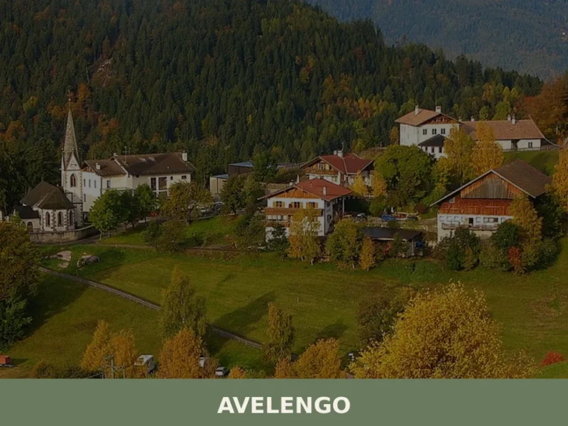
Avelengo
Population 816. A high-altitude comune in South Tyrol offering mountain access and traditional alpine settlement patterns without mass tourism infrastructure.
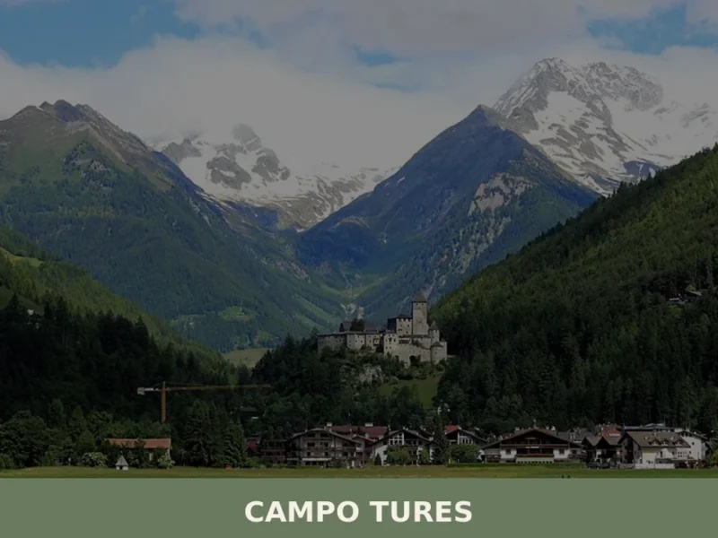
Campo Tures
Tures Castle, first documented in 1136, dominates Campo Tures from a rocky spur at the entrance to the Tures Valley, a side valley of the Aurina Valley. The village has 5,321 inhabitants, spread across an elevation of 864 metres, in a basin where the Aurino torrent slows before continuing south. Understanding what to see in […]

Renon
At 1154 m above sea level, Renon offers earth pyramids, medieval castle ruins and a narrow-gauge railway surviving from 1907.
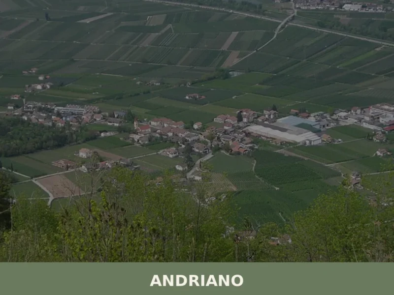
Andriano
At 274 metres above sea level, on the left bank of the Adige river, Andriano has 1,025 inhabitants spread between the historic centre and the farmsteads scattered among rows of vines. The municipality, one of the smallest in South Tyrol by area, extends entirely across flat ground along the alluvial strip connecting Bolzano to Merano. […]
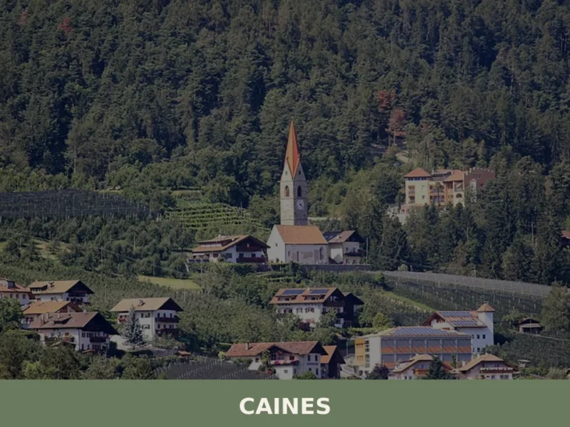
Caines
With just 398 registered inhabitants and an elevation of 592 metres above sea level, Caines — Kuens in German — is one of the smallest municipalities in the province of Bolzano. It extends across the sun-facing slope of the middle Passiria Valley, a few kilometres from Merano, on a natural terrace overlooking the confluence of […]
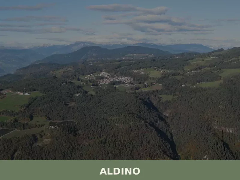
Aldino
Population 1,607. Aldino sits at 1,225 metres in Bolzano province, where Alpine architecture and seasonal rhythms shape daily life.
Anterivo
In the valleys of Trentino-Alto Adige, at 1209 meters above sea level, lies Anterivo, a small mountain village with just 393 inhabitants. Here, the rhythm of life is dictated by the surrounding nature, with coniferous forests embracing wooden and stone houses, and the crisp air carrying the scent of alpine pastures. In this article History […]
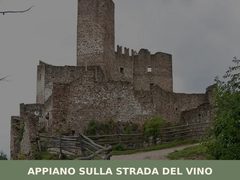
Appiano sulla strada del vino
The municipality of Appiano sulla strada del vino has 14,304 inhabitants spread across eight hamlets — San Michele, San Paolo, Cornaiano, Frangarto, Missiano, Monticolo, Gaido and Girlan (Cornaiano) — set between 200 and 500 metres above sea level on the left bank of the Adige river, in the middle of the Bassa Atesina (Lower South […]
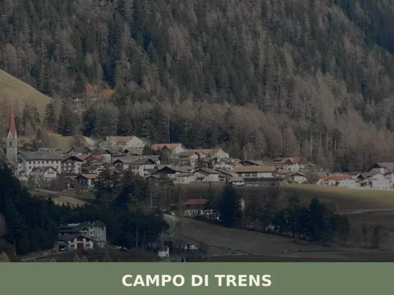
Campo di Trens
At 937 metres above sea level, along the Isarco valley between Vipiteno and Fortezza, the municipality of Campo di Trens has 2,679 inhabitants spread across the hamlets of Trens, Stilves and Mules. Anyone looking into what to see in Campo di Trens will find an area where the German language predominates — the official German […]
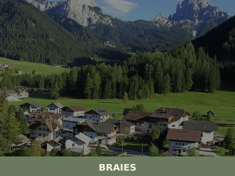
Braies
Lake Braies, sitting at 1496 metres above sea level, is the deepest natural lake in South Tyrol: 36 metres at its maximum point, fed by underground springs that filter through the Dolomite rock. This geological fact alone explains why hundreds of thousands of people reach this side valley off the Puster Valley every year. But […]


🏡 Know Castelrotto better than we do?
If you’re a local or have been there, your knowledge matters: add what’s missing or fix a detail on this page.