Stone houses cluster at 732 metres above sea level, where the slopes of Val Chisone and Val Pellice slope toward one another. In this fold of the Piedmont foothills, autumn mist settles between the ridges, and the rhythm of the year turns on Alpine seasons: summer light breaking through spruce and larch, winter snow clinging to the higher hamlets, spring water rushing down the eroded paths.
Prarostino village in Piedmont is a comune of 1,259 residents in the Turin metropolitan area, built into terrain that climbs from 450 metres in the valley floor to nearly 1,100 metres on the higher peaks. The principal draw is a modern monument rooted in partisan memory, and the landscape itself—a working terrain of small farms and forest rather than a picture-postcard stage.
A Village Marked by Partisan Memory
The identity of Prarostino is most visibly shaped by the Faro della Libertà (Lighthouse of Liberty), a monument unveiled on 18 June 1967 in the capoluogo frazione of San Bartolomeo. Architects Gabetti and Isola designed the structure to commemorate 600 partisans from 51 communes across the Pinerolese valleys who fell during the Italian liberation struggle. The monument stands as a deliberate marker of collective memory within a landscape that saw armed resistance during the Second World War.
The Faro della Libertà was erected to ensure that the sacrifice of these partisans would not be forgotten by future generations.
Beyond this singular landmark, Prarostino’s documented history remains modest. The village has maintained administrative stability as part of the broader Unione Montana del Pinerolese (Pinerolese Mountain Union) and, since 1976, has held a formal twinning with Mont-sur-Rolle, reflecting cross-border connections with the Swiss Plateau and lakeside regions.
Territory and Hamlets Within the Comune
San Bartolomeo: The Administrative Heart
San Bartolomeo, elevated at 738 metres, functions as the seat of municipal administration and the principal populated centre. The frazione bears the name of the patron saint and provides the base for local services. From this core, the comune spreads across a varied topography of wooded slopes and open clearings.
Borgata Gay, Borgata Ser and I Piani
Scattered across the territory are smaller hamlets—Borgata Gay, Borgata Ser and I Piani—each representing the dispersed settlement pattern typical of Alpine valleys. These borgate (small villages or hamlets) occupy different altitudes, some sheltered in the lower reaches and others exposed to higher ridgelines. Together they form a distributed community rather than a single compact borgo.
The Pedemontane Landscape
The terrain itself is the operative attraction: a pedemontane zone where cultivated clearings alternate with regenerating forest. Visitors exploring the villages encounter working agricultural land, stone walls, and the spatial relationships that define a mountain economy. The landscape reveals itself through walking or slow travel rather than from marked viewing points.
Local Food and Agricultural Rhythm
Prarostino’s economy and table are rooted in Alpine and foothill agriculture. The territory supports traditional farming practices suited to elevation and seasonal variation. While specific named products are not documented, the setting indicates reliance on dairy, small grains, and forage crops typical of the Pinerolese region. The adjacent Angrogna and neighbouring Porte communes share comparable valley ecosystems.
Planning Your Visit
Prarostino is most accessible by private transport. The village lies within the Turin metropolitan area, positioned between Pinerolo and the higher valleys. The comune is part of a broader network of Waldensian valleys and mountain communities, making it a reasonable stop within a multi-day exploration of the Chisone and Pellice river systems.
The optimal season depends on your interests. Summer and early autumn offer accessible trails and clear sightlines across the pedemontane landscape. Winter transforms the terrain into a snow-draped setting but may limit access to higher hamlets. Spring brings waterfalls and wildflower growth but can generate muddy conditions on rural paths.
| Departure Point | Distance | Approximate Time |
|---|---|---|
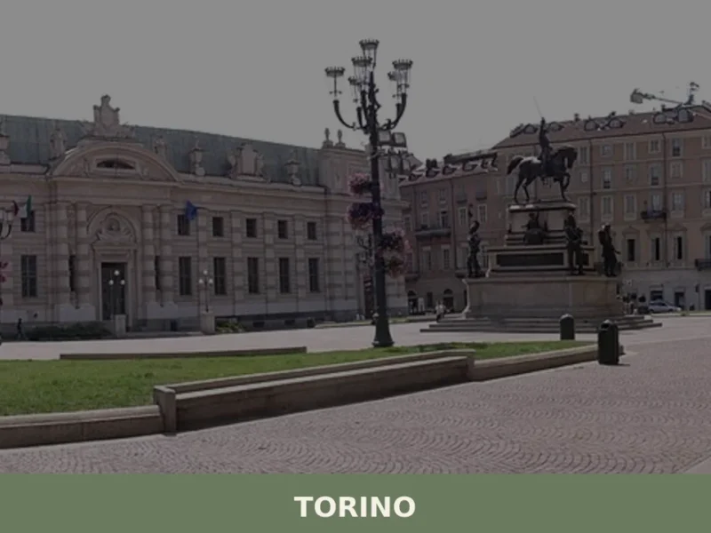
| Turin (Torino) | 50–60 km | 60–75 minutes by car |
| Pinerolo | 15–18 km | 20–30 minutes by car |
| Angrogna | 8–10 km | 15–20 minutes by car |
If you arrive by car, parking is available near San Bartolomeo and the Faro della Libertà. The village has no rail service; public buses connect Pinerolo to outlying communes, though schedules may be limited. Accommodation within Prarostino itself is scarce, so visitors often base themselves in nearby Pinerolo or smaller hotels in the surrounding valleys. The comune’s municipal website provides current contact information for local services.