


Campo di Trens
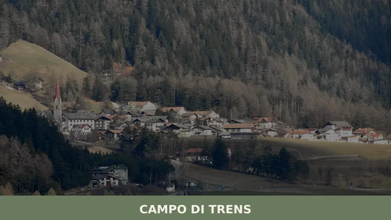
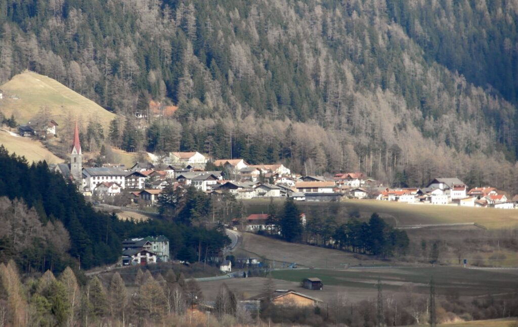
At 937 metres above sea level, along the Isarco valley between Vipiteno and Fortezza, the municipality of Campo di Trens has 2,679 inhabitants spread across the hamlets of Trens, Stilves and Mules. Anyone looking into what to see in Campo di Trens will find an area where the German language predominates — the official German […]
Discover Campo di Trens
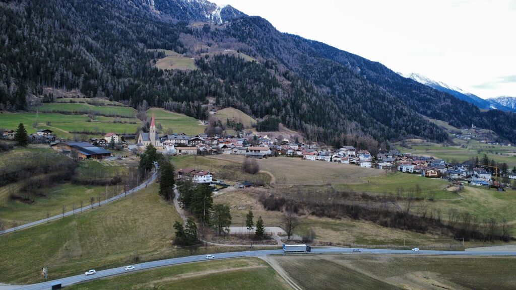
At 937 metres above sea level, along the Isarco valley between Vipiteno and Fortezza, the municipality of Campo di Trens has 2,679 inhabitants spread across the hamlets of Trens, Stilves and Mules. Anyone looking into what to see in Campo di Trens will find an area where the German language predominates — the official German toponym is Freienfeld — and where the Brenner railway has been passing through since 1867, marking a boundary between the rhythm of Alpine transit and the stillness of the high-altitude mountain pastures. Three medieval churches, a castle documented since the 13th century and trails climbing towards 2,000 metres make up a remarkably rich repertoire for a municipality of this size.
History and origins of Campo di Trens
The name “Freienfeld” — literally “free field” — appears in medieval documents to indicate an area of open land exempt from feudal obligations, a rare condition in the Alto Adige of the 12th and 13th centuries. The Italian form “Campo di Trens” combines this notion of a plain with the main hamlet, Trens, whose name probably derives from the Latin trans, referring to its position beyond a watercourse in relation to the main route through the Isarco valley. The municipal territory has been inhabited since Roman times, when the Via Claudia Augusta provided a connection between the Po plain and Noricum through the Brenner Pass.
In the Middle Ages the area acquired strategic importance. Castel Reifenstein (Castel Tasso) and Castel Sprechenstein were built to control the valley between the 13th and 14th centuries, during a period when the Counts of Tyrol were consolidating their dominion over the Brenner road axis. The hamlets of Stilves and Mules preserve ecclesiastical structures from the Romanesque era, evidence of an organised parish presence as early as the 12th century. During the 19th century, the construction of the Brenner railway (inaugurated on the Tyrolean section in 1867) reshaped the economic geography of the area: Mules became a transit point, while Trens and Stilves maintained an agricultural and pastoral vocation that persists to this day.
In the 20th century, the municipality experienced the tensions linked to the annexation of South Tyrol to Italy in 1919 and the Options Agreement of 1939, when many families were forced to choose between emigrating to the German Reich or remaining and accepting forced Italianisation. This historical fracture can still be read in the bilingual place names and in the linguistic composition: over 90% of the population is German-speaking, according to the latest provincial census data.
What to see in Campo di Trens: 5 top attractions
1. Castel Tasso (Reifenstein)
Built in the 12th century and extended in the 14th, Castel Tasso is one of the best-preserved castles in Alto Adige. Guided tours — managed by the South Tyrolean Castles Association — provide access to the Gothic chapel with 15th-century frescoes, the medieval kitchen with its original hearth and the Stube panelled in Swiss stone pine. The structure has undergone no modern transformations, making it a rare architectural document in the region.
2. Castel Sprechenstein
Visible from the valley floor on a rocky ridge above the hamlet of Mules, this castle dates back to the 13th century. Today it is privately owned and cannot be visited internally, but the trail climbing from the church of Mules to its walls — approximately thirty minutes on foot — offers a view over the confluence of the Vizze valley with the Isarco valley. The partial ruins reveal the outer curtain wall and the keep, still legible in their defensive function.
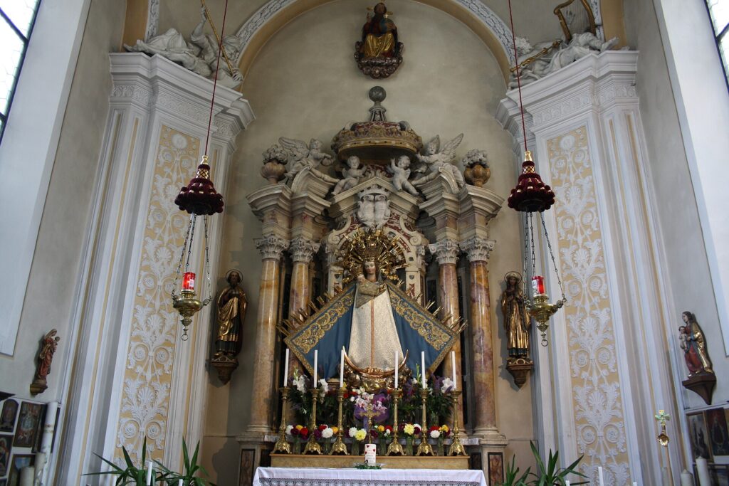
3. Parish Church of Sant’Osvaldo in Stilves
Documented since the 12th century, the church of Stilves retains a Romanesque bell tower with round-arched mullioned windows and an interior remodelled during the Baroque period. The gilded wooden high altar dates to the 17th century. Stilves itself is a compact hamlet, with farmsteads arranged along a road that climbs from the valley floor: the relationship between rural buildings and the place of worship has remained essentially unchanged since 19th-century cartography.
4. Church of San Valentino in Mules
The small church of Mules, dedicated to San Valentino, features late-Gothic architectural elements in the nave and a cycle of partially restored frescoes that document local pictorial production from the 15th century. The surrounding cemetery, with wrought-iron crosses decorated in the Tyrolean tradition, deserves attention for the artisanal skill still visible in the details of the inscriptions and floral motifs.
5. Vizze Valley trail and high-altitude alpine pastures
From Mules you can access the lower Vizze valley, from where hiking routes lead to alpine pastures between 1,500 and 2,000 metres. The trail to Malga Pianer (Planer Alm) takes approximately two hours and passes through spruce and larch forests before reaching the high-altitude grazing land, where between June and September livestock is still brought up for summer pasture according to the vertical transhumance system documented by the Municipality of Campo di Trens.
Traditional cuisine and local products
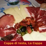
The table in Campo di Trens reflects the South Tyrolean farming tradition with precision. Speck Alto Adige IGP is the most widespread product: local butchers follow the production regulations requiring smoking with beechwood and a minimum curing period of twenty-two weeks. Graukäse — a lean, grey-paste cheese made from acidified skimmed milk without the addition of rennet — is produced on the valley’s farmsteads and is recognised as a Traditional Agri-Food Product (PAT) of the Province of Bolzano. It should be served dressed with oil, vinegar and raw onion, according to the preparation known as Graukäse mit Essig und Zwiebeln. In the high-altitude alpine pastures you can also find Zieger, a smoked ricotta with an intense flavour. Canederli (Knödel) — made from stale bread, speck and chives — are eaten in broth or dry with melted butter and are the most common dish in local trattorias. Schlutzkrapfen, half-moon rye pasta parcels filled with spinach and ricotta, are another well-established first course in the local repertoire. In autumn, kitchens prepare the Törggelen: roasted chestnuts, new wine and smoked meat dishes, a gastronomic tradition that in the Bassa Atesina and the Isarco valley marks the end of the grape harvest.
Among beverages, the area produces apple juice from local cultivars — Gala, Golden Delicious and Topaz — processed by cooperative consortia in the valley. Rye bread (Schüttelbrot), crisp, flat and flavoured with caraway seeds (Brotklee) and fenugreek, is recognised as a PAT of Alto Adige and accompanies every meal. Kaminwurzen, a dry smoked sausage handcrafted from pork and beef, is the go-to backpack snack for hikers in the area. There is no food festival specific to Campo di Trens, but village celebrations — particularly the Kirchtag (patron saint’s feast) in Trens during summer — feature stalls with local products, brass band music and traditional dances.
When to visit Campo di Trens: the best time
Summer — from mid-June to mid-September — is the most suitable season for hiking: the alpine pastures are open, the trails are free of snow and daytime temperatures range between 18 and 25 degrees in the valley. July and August see the highest visitor numbers, but tourist density remains low compared to nearby Vipiteno and Bressanone. Autumn, from late September to November, brings the colours of Törggelen and a raking light that sharply defines the mountain outlines; this is when the larches turn yellow and the valley takes on a warm tone, with fewer visitors and more affordable prices at local accommodation.
Winter transforms the area into an access point for the ski slopes of nearby Ladurns (reachable from Mules in a few minutes by car) and the Monte Cavallo ski area above Vipiteno. Night-time temperatures regularly drop below -10°C. Spring is short and variable: snow lingers at altitude until May, but from April the apple orchards in the valley floors come into blossom and the lower trails become walkable again.
How to reach Campo di Trens
Campo di Trens lies along the Brenner motorway (A22), between the exits of Vipiteno (8 km to the north) and Fortezza (10 km to the south). From Bolzano the distance is approximately 50 km, covered in 40 minutes. From Innsbruck, across the Austrian border, the journey is around 60 km via the Brenner Pass. The Mules-Campo di Trens railway station, on the Brenner line (Verona–Innsbruck), is served by Trenitalia regional trains and Intercity services connecting South Tyrol with the rest of Italy: travel time from Bolzano is approximately 30 minutes, from Verona around two hours. The nearest airport is Innsbruck (70 km), followed by Bolzano (50 km, with limited flights) and Verona Villafranca (230 km). A local bus service operated by Südtirol Mobil connects the hamlets with each other and with Vipiteno.
Other villages to discover in Trentino-Alto Adige
Visitors to Campo di Trens who wish to continue exploring the South Tyrolean territory will find Barbiano a short distance away, in the Isarco valley further south, between Chiusa and Ponte Gardena. Barbiano extends along a sun-drenched slope at approximately 830 metres and offers an agricultural landscape quite different from that of Campo di Trens: vineyards and orchards replace the conifer forests, and the Barbiano waterfalls — with a total drop of over 80 metres — are a hiking destination reachable in less than an hour’s walk.
Moving towards the Merano area, Avelengo occupies a plateau at 1,290 metres above Merano, known for the breeding of the Haflinger horse — an equine breed originating from this very area, documented since the late 19th century. The open landscape of Avelengo, with extensive meadows and views over the Merano basin, provides a stark contrast with the verticality of the Isarco valley. Both villages can be reached from Campo di Trens in under an hour by car, making it possible to put together an itinerary that crosses three distinct Alpine environments: the narrow transit valley, the vine-covered slope and the pastoral plateau.
Frequently asked questions about Campo di Trens
What is the best time to visit Campo di Trens?
Summer (mid-June to mid-September) is ideal for hiking: alpine pastures are open, trails are snow-free and valley temperatures reach 18–25°C. July and August are busiest, though crowds remain modest compared to Vipiteno or Bressanone. Autumn (late September–November) is excellent for Törggelen — roasted chestnuts, new wine and smoked meats — and for larch foliage, with fewer visitors and lower accommodation prices. Winter suits skiers heading to nearby Ladurns or the Monte Cavallo area above Vipiteno, with night temperatures regularly below -10°C. Spring is brief, with lower trails reopening from April.
What are the historical origins of Campo di Trens?
The German name Freienfeld — literally 'free field' — appears in medieval documents indicating land exempt from feudal obligations, a rare status in 12th–13th century Alto Adige. The area was inhabited in Roman times along the Via Claudia Augusta. During the Middle Ages, Castel Reifenstein (Castel Tasso) and Castel Sprechenstein were built to control the Brenner road axis. The Brenner railway reached the area in 1867, reshaping its economy. After annexation to Italy in 1919 and the Options Agreement of 1939, over 90% of residents today remain German-speaking, a legacy still visible in bilingual place names.
What to see in Campo di Trens? Main monuments and landmarks
The top attraction is Castel Tasso (Reifenstein), one of Alto Adige's best-preserved medieval castles, with guided tours run by the South Tyrolean Castles Association covering a Gothic chapel with 15th-century frescoes and an original medieval kitchen. Castel Sprechenstein, visible above Mules, can be reached by a 30-minute footpath from the village church. The 12th-century Parish Church of Sant'Osvaldo in Stilves features a Romanesque bell tower and a 17th-century gilded altar. The Church of San Valentino in Mules retains late-Gothic elements and a 15th-century fresco cycle. Contact the Casles Association for guided tour schedules at Castel Tasso.
What are the main natural or scenic attractions of Campo di Trens?
The lower Vizze valley, accessible from Mules, opens onto hiking routes climbing to alpine pastures between 1,500 and 2,000 metres. The trail to Malga Pianer (Planer Alm) takes approximately two hours, passing through spruce and larch forests before reaching high-altitude grazing land active from June to September. From autumn, the larches turn golden, offering exceptional colour in the valley. The surrounding mountains of the Isarco valley provide a dramatic backdrop, and the ski slopes of Ladurns are reachable from Mules in minutes by car in winter.
Where to take the best photos in Campo di Trens?
The ridge trail from Mules to Castel Sprechenstein offers a commanding view over the confluence of the Vizze valley and the Isarco valley — excellent in morning light. Castel Tasso photographed from the valley floor, framed by spruce forest, is a classic Alto Adige composition. In autumn, the larch forests on the trail to Malga Pianer (Planer Alm) turn golden between late September and October, providing strong colour contrasts. The compact hamlet of Stilves, with its Romanesque bell tower rising above traditional farmsteads, is best captured in the late afternoon when light rakes across the facades.
Are there museums, churches or historic buildings to visit in Campo di Trens?
Castel Tasso (Reifenstein) is the main historic building open to visitors, with guided tours managed by the South Tyrolean Castles Association; check their official website for current tour times and admission fees. The Parish Church of Sant'Osvaldo in Stilves and the Church of San Valentino in Mules are both accessible and document Romanesque and late-Gothic architectural phases respectively. The cemetery surrounding the Mules church is notable for its wrought-iron crosses crafted in the Tyrolean tradition. Castel Sprechenstein is privately owned and cannot be visited internally.
What can you do in Campo di Trens? Activities and experiences
Hiking is the primary activity: the two-hour trail to Malga Pianer (Planer Alm) through larch and spruce forest is the most documented local route, with alpine pastures open June to September. Guided castle tours at Castel Tasso provide a cultural experience. In winter, the Ladurns ski area near Mules is a short drive away. In autumn, Törggelen — the tradition of roasted chestnuts, new wine and smoked meats — can be enjoyed at local establishments. The summer Kirchtag (patron saint's feast) in Trens features stalls with local products, brass band music and traditional dances.
Who is Campo di Trens suitable for? Families, couples, hikers, solo travelers?
Campo di Trens suits hikers of moderate ability: trails to alpine pastures at 1,500–2,000 metres are accessible without technical equipment in summer. History enthusiasts will appreciate two medieval castles and three documented Romanesque and Gothic churches. Families benefit from low tourist density, open countryside and easy access to the Ladurns ski slopes in winter. Couples seeking quiet Alto Adige scenery away from busier resorts like Bressanone or Vipiteno will find the hamlet of Stilves and the Vizze valley walks particularly rewarding. It is less suited to visitors expecting urban amenities or a large events calendar.
What to eat in Campo di Trens? Local products and specialties
Speck Alto Adige IGP, smoked with beechwood and cured for a minimum of twenty-two weeks, is the staple product available from local butchers. Graukäse — a lean grey-paste cheese made from acidified skimmed milk without rennet, recognised as a Traditional Agri-Food Product (PAT) of Bolzano — is served with oil, vinegar and raw onion. Canederli (Knödel) in broth or with butter, and Schlutzkrapfen (rye pasta parcels filled with spinach and ricotta) are the most common dishes in local trattorias. Schüttelbrot (crisp rye flatbread with caraway) and Kaminwurzen (dry smoked sausage) are ideal hiking provisions.
📷 Photo Gallery — Campo di Trens
Nearby Villages near Campo di Trens
In Trentino-South Tyrol More villages to discover
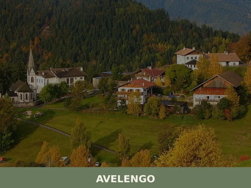
Avelengo
Population 816. A high-altitude comune in South Tyrol offering mountain access and traditional alpine settlement patterns without mass tourism infrastructure.
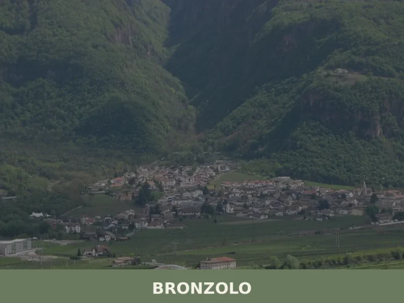
Bronzolo
Bronzolo has 2,646 inhabitants and sits at 238 metres above sea level, on the right bank of the Adige River, at the point where the Isarco Valley meets the Adige plain. The German name for the town — Branzoll — already appears in medieval documents related to the control of trade routes between the Germanic […]
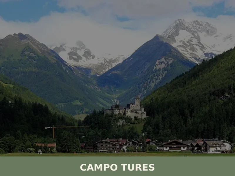
Campo Tures
Tures Castle, first documented in 1136, dominates Campo Tures from a rocky spur at the entrance to the Tures Valley, a side valley of the Aurina Valley. The village has 5,321 inhabitants, spread across an elevation of 864 metres, in a basin where the Aurino torrent slows before continuing south. Understanding what to see in […]
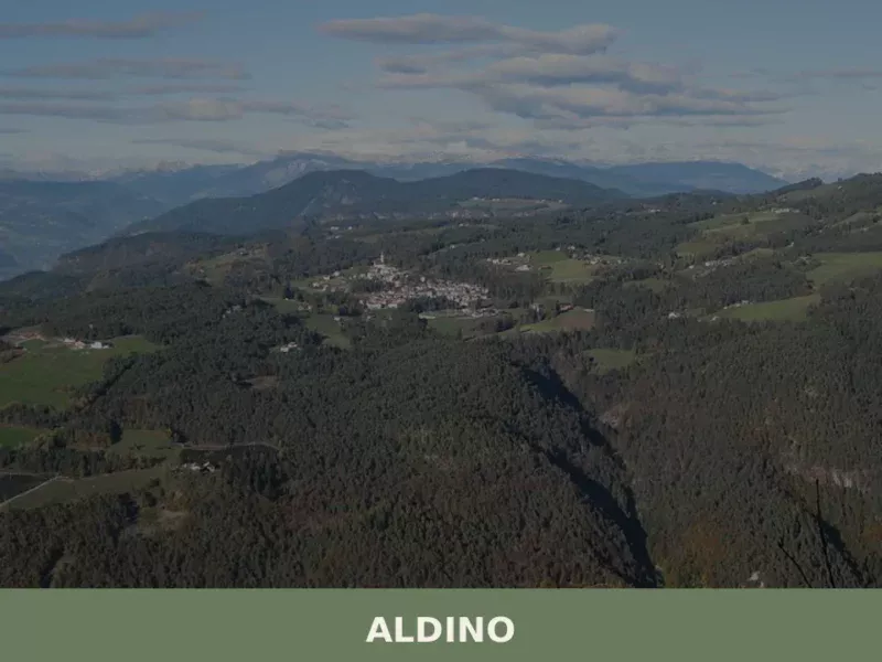
Aldino
Population 1,607. Aldino sits at 1,225 metres in Bolzano province, where Alpine architecture and seasonal rhythms shape daily life.
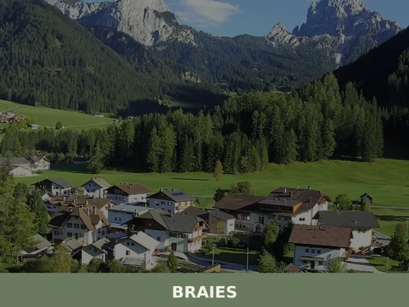
Braies
Lake Braies, sitting at 1496 metres above sea level, is the deepest natural lake in South Tyrol: 36 metres at its maximum point, fed by underground springs that filter through the Dolomite rock. This geological fact alone explains why hundreds of thousands of people reach this side valley off the Puster Valley every year. But […]
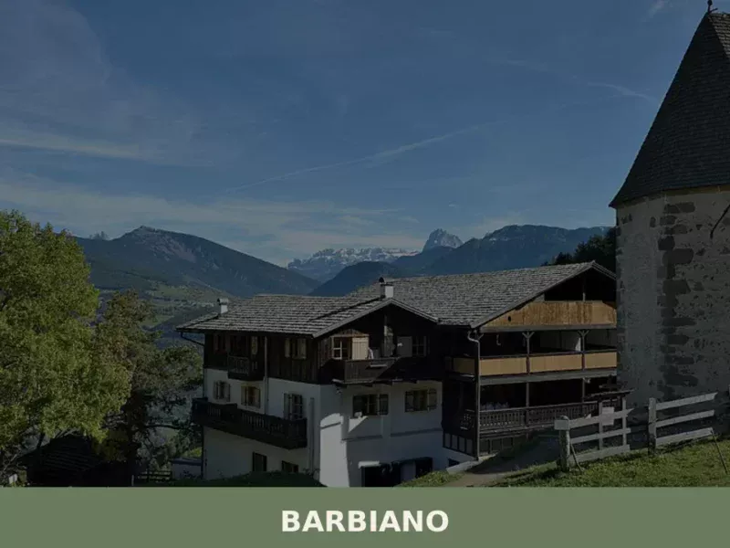
Barbiano
Barbiano covers 25.26 square kilometres on the right-hand slope of the Isarco Valley, spread across five hamlets — Barbiano village, Colma, San Giacomo, Saubach and Dreikirchen — each with its own architectural identity and historical function. Understanding what to see in Barbiano means crossing a territory that rises from 471 metres on the valley floor […]
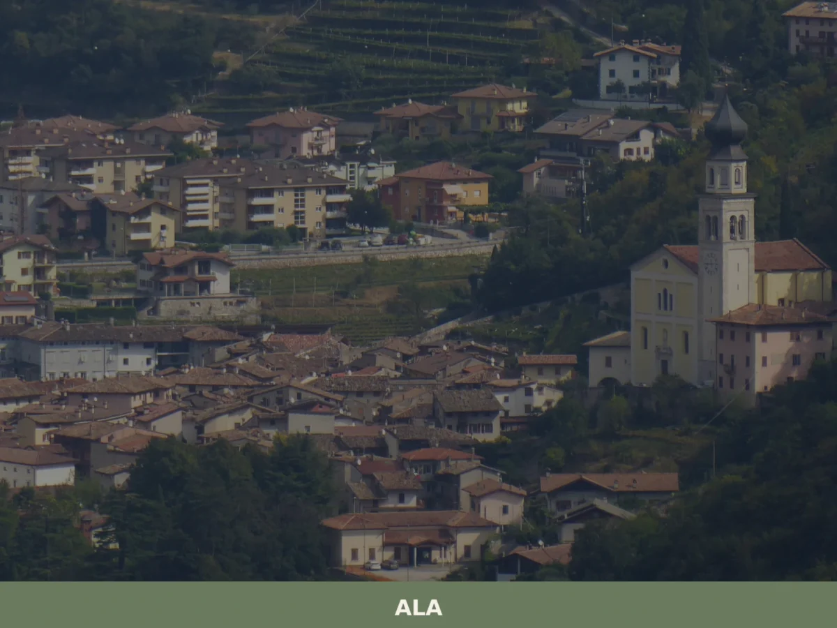
Ala
Discover what to see in Ala, Trentino: silk merchant palazzi, Habsburg border history, Vallagarina wines and the Valle dei Ronchi. Practical tips included.
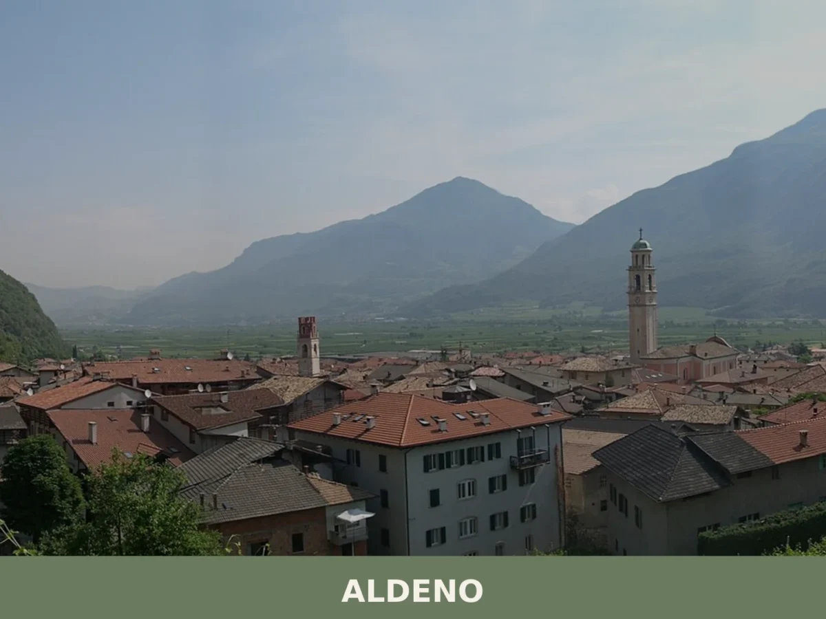
Aldeno
A 3,374-inhabitant comune on the Adige's bank, Aldeno blends prehistoric trade crossings with baroque churches and the memory of the Austro-Hungarian Great War command.
Anterivo
In the valleys of Trentino-Alto Adige, at 1209 meters above sea level, lies Anterivo, a small mountain village with just 393 inhabitants. Here, the rhythm of life is dictated by the surrounding nature, with coniferous forests embracing wooden and stone houses, and the crisp air carrying the scent of alpine pastures. In this article History […]
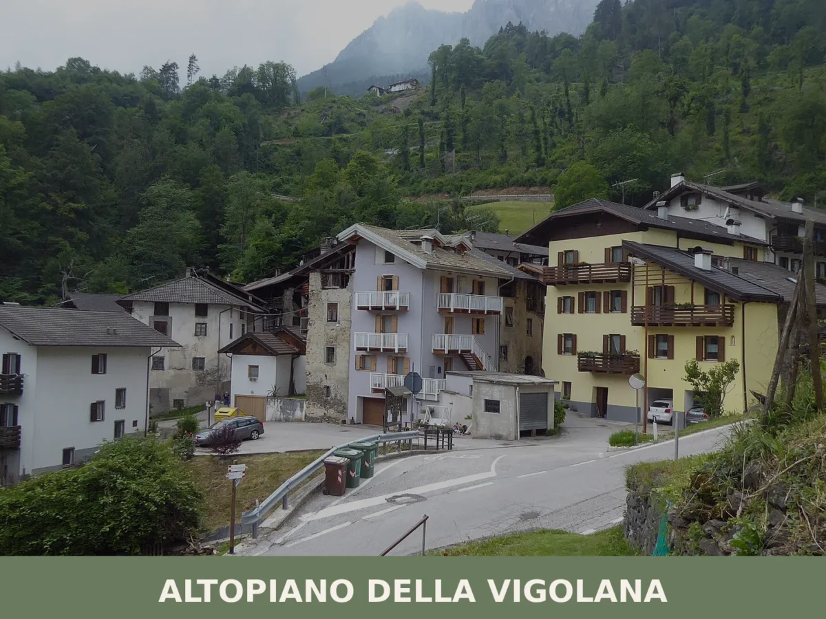
Altopiano della Vigolana
Five thousand inhabitants spread across four frazioni at 725 metres altitude. Roman roads, medieval churches and a 2015 municipal reunification anchor this mountain village in the Upper Valsugana.


🏡 Know Campo di Trens better than we do?
If you’re a local or have been there, your knowledge matters: add what’s missing or fix a detail on this page.