


Licata
34,000 residents, Greek foundations and a coastline of alternating cliffs and sandy coves make Licata one of the most layered towns on Sicily’s southern shore.
Licata: Where the Salso Meets the Sea of Agrigento
Where the Salso River splits the urban fabric before dissolving into the Mediterranean, Licata occupies a flat coastal plain backed by a single hill the locals have always called la Montagna. The air carries salt and the faint mineral sharpness of the river. The old town climbs toward the hill with a confidence born of long occupation, its Liberty facades catching the light of the southern Sicilian coast in a way that feels entirely its own.
Licata village in Sicily draws two distinct kinds of visitor: those who come for its coastline of cliffs, coves and sandy beaches stretching 24 kilometres along the Gulf of Gela, and those drawn by a civic history dense enough to fill several museum rooms. The town sits in the province of Agrigento at just 8 metres above sea level, close enough to the water that the horizon is always present.
From Greek Colony to Bourbon Senato: The Long Story of a Coastal Town
The name itself is a puzzle worth pausing over. Over the centuries the settlement has been recorded as Phintias, Alukatos, Leocata, Lecatam, Katta and several other variants, before arriving at the modern form in the Norman period. Scholars have proposed derivations from the Greek Leucada, from the Arabic al-Kalata meaning a fortified promontory, from the river’s own ancient name, and even from a local dialect word for seaweed. The oldest document to mention the town by a recognisable name is a donation deed by Roger of Altavilla to the bishop of Agrigento, where it appears as Limpiadum. A second document from the same archive uses Lecatam. No single etymology has won the argument, which says something about how many cultures have passed through here.
Those cultures are not metaphorical. Phoenician traders worked the coastline between the twelfth and eighth centuries before the common era. Greek settlers from Gela established a fortified station at the mouth of the Salso. Agrigento later added its own military outpost. The Carthaginians held the area, then the Romans took it back in a major naval battle off Cape Ecnomo and turned the town into a flourishing commercial port. Byzantines, Arabs and Normans each left their mark before Frederick II enrolled Licata among the forty-two royal demesne cities of Sicily and granted it the title Dilectissima in 1234. Alfonso I later added Fidelissima. The town’s heraldic eagle is Swabian, not Aragonese, a distinction the civic archives are careful to maintain.
The early modern period brought violence and then prosperity in quick succession. In 1553 the Turkish admiral Dragut sacked the town and left little standing. Recovery came slowly, then accelerated in the seventeenth and eighteenth centuries as Licata’s port became a Regio Caricatore, a royal grain-loading station where vessels from across the Mediterranean put in to take on cargo. By the nineteenth century, roads connecting the town to the sulphur mines of the interior transformed the economy again. Liberty villas appeared on the hillside, a railway arrived from Canicattì, and sulphur refineries operated at industrial scale. In 1943 the town entered a different kind of history when American forces of the 3rd Infantry Division landed at Mollarella beach as part of the Allied invasion of Sicily.
The Stones and Spaces That Define the Town
Palazzo di Città
The town hall stands as the most photographed expression of Licata’s late-nineteenth-century confidence. Associated with the circle of Ernesto Basile, it belongs to the current of Sicilian Liberty that flourished when sulphur revenues filled civic coffers. The building faces the main corso with an assurance that reflects the moment when Licata was a place of consulates, wealthy merchant families and ambitious public works. Visitors who arrive on weekday mornings can often enter the ground-floor spaces freely.
Santuario di Sant’Angelo
The sanctuary dedicated to the town’s patron saint, Sant’Angelo, sits on the hill known as monte Sant’Angelo and holds the relics around which Licata’s most important religious calendar revolves. The building commands a view over the coastal plain and the river mouth. The feast day draws a significant gathering from across the surrounding territory each year, turning the sanctuary and the streets below it into a moving procession of civic and devotional life.
Chiesa di San Domenico and the Works of Filippo Paladini
Inside the baroque church of San Domenico, two paintings document the presence of a significant artistic commission in early seventeenth-century Licata. Filippo Paladini produced both works here: Sant’Antonio Abate in cattedra in 1603 and Santissima Trinità e i Santi in 1611. The adjoining convent, originally belonging to the Dominican order, now serves as a school. The church itself remains one of the clearest points of contact between the town and the wider currents of Sicilian baroque painting.
Parco Archeologico di Finziade
The archaeological park preserves traces of the ancient settlement that preceded the current town. Other documented sites in the territory include an underground chamber known as the ipogeo Stagnone Pontillo, an artificial cave necropolis at Monte Petrulla, a pre-Hellenic hydraulic structure called the Grangela, and the remains of a Greek-era fortress. The Museo Archeologico della Badia holds the finds from these excavations, offering a compact overview of occupation from the fifth millennium before the common era onward.
The Coast: Mollarella, Pisciotto and the Western Cliffs
The shoreline divides naturally at the town itself. East of the centre, long sandy beaches extend toward the border with Butera. West of the centre, the coast shifts into a sequence of promontories, small bays and pebble beaches, with sandier stretches between the rocky outcrops. The beach at Mollarella is the most accessible and best known. Significant meadows of Posidonia oceanica lie offshore, a marker of water quality. Part of the coast was disfigured by illegal construction in the 1970s and 1980s, and a programme of demolition carried out between 2016 and 2017 began to address the damage.
The Table and the Territory: What the Land and Sea Produce
The Piana di Licata, the flat alluvial land shaped over millennia by the Salso, has always been agricultural ground. Grain once loaded at the royal port fed cities across the Mediterranean. The fertile plain still produces early vegetables and fruit that reach markets along the southern coast. The sea adds its own contribution: the waters around Licata are noted for their seaweed beds, and the fishing harbour at the river mouth maintains a working fleet whose catch supplies restaurants along the waterfront.
The surrounding countryside also supports olive cultivation and the kind of mixed production typical of the Agrigento hinterland. Visitors who explore the territory toward Agrigento or inland toward Acquaviva Platani will find that the food of this zone reflects the same agricultural logic: produce grown close to the table, prepared with little ceremony.
Planning a Visit: Seasons, Distances and Practical Notes
The southern Sicilian coast has a long usable season. Spring, from March through May, brings mild temperatures and the plain in full agricultural colour. Early summer is the moment for the coast before the peak heat of July and August, when Licata’s beaches draw visitors from across the island. September and October are well suited to exploring the archaeological sites and the town’s civic architecture without the intensity of the high-season sun. Winter is quiet but functional: the town is a working urban centre of over 34,000 people, not a seasonal resort, and its churches, museum and streets remain accessible.
Access by road is straightforward. The SS115 coastal state road connects Licata to Agrigento to the west and to Gela to the east. If you arrive from Palermo or central Sicily, the A19 motorway toward Caltanissetta and then south through the interior is the usual route. Travellers interested in the sulphur-mining history of the region will find the landscape between Licata and Caltanissetta still carries traces of that industrial past. The town of Acate lies to the east, and Enna anchors the central Sicilian interior for those planning a wider circuit.
| Departure | Distance | Time |
|---|---|---|
| Agrigento | 45 km | approx. 45 min by car |
| Caltanissetta | 75 km | approx. 1 hr by car |
| Gela | 40 km | approx. 40 min by car |
| Palermo | 195 km | approx. 2 hrs 15 min by car |
| Catania | 185 km | approx. 2 hrs by car |
Within the town itself, the main civic and religious monuments concentrate between the old Cassaro axis and the hill. The distance between the archaeological museum and the sanctuary of Sant’Angelo on the hilltop is walkable in under twenty minutes. Visitors with limited time should prioritise the Palazzo di Città, the church of San Domenico for its Paladini canvases, and at least one section of the coast. Those with more time will find that Licata rewards a slower circuit through its lesser-known Liberty villas and the river-mouth area where the Salso finally meets the sea.
Frequently asked questions about Licata
Come si raggiunge Licata in auto o in treno?
In auto, l'uscita più comoda è Licata sulla SS640 che collega Agrigento al mare. Da Palermo sono circa 160 km, da Catania circa 130 km. In treno, Licata è servita dalla linea Canicattì–Licata delle Ferrovie dello Stato; la stazione si trova in prossimità del centro urbano. Da Agrigento si cambia a Canicattì. Il trasporto con autobus è garantito da Autolinee SAIS e SAL con corse da Agrigento, Palermo e Catania.
Quando si festeggia il patrono Sant'Angelo a Licata?
La festa del patrono Sant'Angelo Martire si celebra il 5 maggio con una solenne processione per le vie del centro storico. I festeggiamenti durano più giorni e includono celebrazioni religiose, musica e fuochi d'artificio. Sant'Angelo di Licata è venerato come protettore della città dal Medioevo; la sua memoria è legata alla chiesa a lui dedicata sul colle che sovrasta l'abitato.
Qual è il periodo migliore per visitare Licata?
La stagione balneare va da giugno a settembre, con temperature che superano i 30 °C e mare calmo lungo i 24 km di costa. La primavera, tra aprile e maggio, è ideale per chi vuole visitare il centro storico e partecipare ai festeggiamenti di Sant'Angelo senza la folla estiva. L'inverno è mite grazie al clima mediterraneo, con temperature raramente sotto i 10 °C, adatto a visite culturali tranquille.
Ci sono percorsi naturalistici o cicloturistici documentati nei dintorni di Licata?
Nei dintorni di Licata è percorribile la foce del fiume Salso, area di interesse naturalistico per l'avifauna migratoria. Il litorale offre percorsi a piedi tra scogliere e calette verso Torre di Gaffe e Punta Bianca. La ciclovia dei Templi, progetto regionale siciliano, prevede un tracciato che collega Agrigento alla costa passando per l'entroterra agrigentino, con Licata come punto d'arrivo sul mare, anche se i lavori sono ancora in corso di completamento.
Quanto tempo serve per visitare Licata e dove si parcheggia?
Una visita al centro storico, al Museo Archeologico e al lungomare richiede almeno una giornata intera; due giorni permettono anche le spiagge principali come Marianello e Playa. Il parcheggio è disponibile in area portuale e lungo il lungomare, in gran parte gratuito fuori stagione. In agosto si consiglia di arrivare la mattina presto per trovare posto. Il centro storico collinare è in parte a traffico limitato, meglio esplorarlo a piedi.
📷 Photo Gallery — Licata


In Sicily More villages to discover
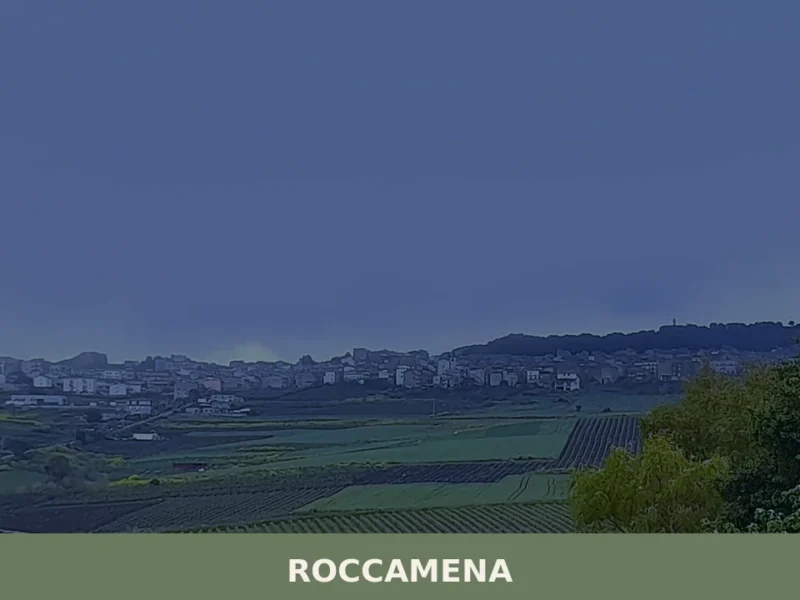
Roccamena
What to see in Roccamena, a village at 480 m in the province of Palermo: main church, Monte Genuardo reserve, rural farmsteads, local food and practical info.
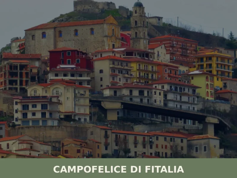
Campofelice di Fitalia
Discover what to see in Campofelice di Fitalia: history, rural architecture, local food, and the quiet beauty of inland Sicily at 734m altitude.

San Cataldo
With over 400 years of documented history and a remarkable archaeological zone, San Cataldo offers cultural depth that rewards curious visitors.
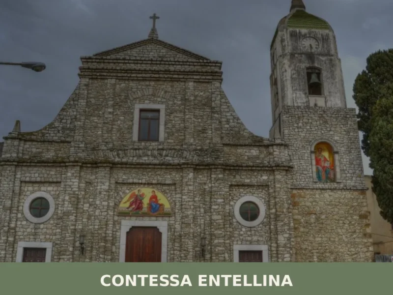
Contessa Entellina
Discover what to see in Contessa Entellina: Arbëreshë heritage, Rocca d'Entella ruins, Byzantine-rite churches, local food, and practical travel tips.
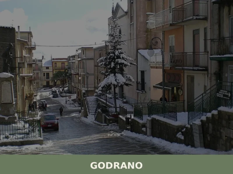
Godrano
What to see in Godrano: from the Bosco della Ficuzza Reserve to the Palazzina Reale, churches and cuisine of the Sicani hinterland at 693 m above sea level.
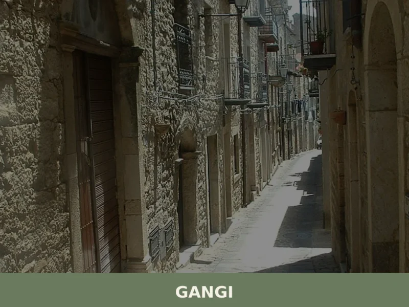
Gangi
What to see in Gangi: Explore this Sicilian village at 1011m. Discover its rich history, typical cuisine, and the vibrant Sagra della Spiga. Plan your visit today!
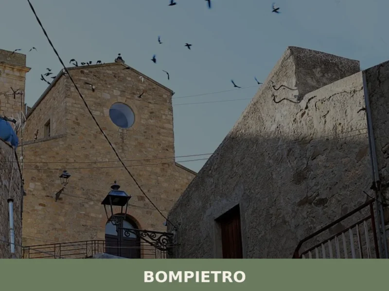
Bompietro
Morning light reaches Bompietro slowly, climbing over the Madonie range before it pours across the rooftops and into the narrow streets where older residents already occupy doorstep chairs. At 685 metres above sea level, the air carries a sharpness absent from the coast — part wild oregano, part cold stone. Fewer than 1,200 people live […]
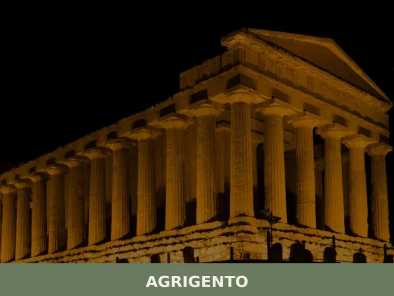
Agrigento
What to see in Agrigento, a city of 58,063 at 230m: UNESCO Valley of the Temples, Norman Cathedral, certified Cotognata. Plan your visit with our complete guide.
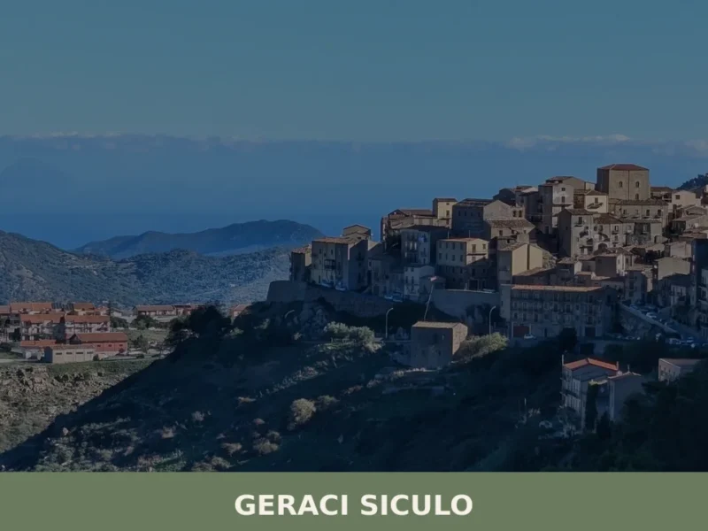
Geraci Siculo
What to see in Geraci Siculo, Italy? Discover this mountain village at 1077 m, an I Borghi più belli d'Italia member, and its San Bartolomeo feast. Explore its historic core and Madonie views.
Catania
Discover Catania, a captivating village in Sicily, Italy. Explore its rich history, stunning architecture, local culture, and hidden gems waiting to be found.


🏡 Know Licata better than we do?
If you’re a local or have been there, your knowledge matters: add what’s missing or fix a detail on this page.