


Marciana
2,058 residents, one medieval fortress and a national park at your doorstep. Marciana rewards those who climb above Elba’s coastline into its stone-built historic borough.
Marciana on Elba: Medieval Fortress, National Park and Ancient Hamlets
At 375 metres above the Tyrrhenian, where chestnut woods press against dry-stone walls and the western sea glitters through gaps in the granite, the borough of Marciana holds its shape with quiet insistence. The old rioni — Fosso, San Bastiano, la Tomba, il Poiolo — still divide the village into its ancient quarters, and the longitudinal main square, long known as the Piazzale della Porta, still reads the medieval gate of Lorena as its natural end-point. Stone speaks here in strata: Pisan, Appiani, Lorraine, each layer visible if you know which wall to look at.
Marciana village in Tuscany sits on the western flank of Elba island and draws two kinds of visitor: those who come for the medieval borough and its Fortezza Pisana, and those who come for the surrounding territory of the Parco Nazionale dell’Arcipelago Toscano, one of the largest marine-terrestrial protected areas in Europe. Both find more than they expected.
A Name Written in Stone — The Origins and History of Marciana
The name itself is contested. One line of interpretation ties Marciana to the Roman personal name Marcius, suggesting a property or settlement associated with a Roman landholder. A second reading derives it from the Latin adjective marcidus, pointing to particular environmental or agricultural conditions — a reading supported by the cluster of related place names across the same territory: Marcianella, Stagno marcianese, Fonte marcianese, Poggio marcianese. Neither theory has been definitively settled, but together they frame Marciana as a place whose identity was already layered before the first written record.
That first record arrives in the thirteenth century. Documents conserved at the Archivio storico diocesano di Pisa refer to the Comune Marciane, placing Marciana within a network of ecclesiastical and civic administration that already treated it as a functioning settlement. The initial nucleus of the Fortezza dates to this same period, establishing the hilltop’s defensive logic from early in the medieval era. Later, the Appiani princes — lords of Piombino and Elba — chose Marciana as a seasonal residence and went further: they had a mint, the Zecca di Marciana, established here. Two monuments in the village carry Appiani memory directly: the Porta di Donna Paola and the Cappella di Sant’Agapito, dedicated in honour of Agapito Colonna.
The modern era left its own, grimmer mark. On 20 November 1943, German Wehrmacht forces carried out a sweep through Marciana and the neighbouring localities of Poggio, Sant’Andrea and San Piero in Campo. The event is a reminder that the island’s relative isolation did not shelter its communities from the violence of the occupation. In the postwar decades, the municipality became the site of another, very different kind of record: in 1960, the first aviation accident involving the Italian carrier Itavia occurred over Marciana’s territory. History on this mountain does not run in a single, comfortable direction.
The underwater seabed off Marciana’s coastline has yielded some of the most significant Roman shipwrecks found anywhere in Italy — the relict of Procchio, the relict of Chiessi, and two wrecks off Sant’Andrea — suggesting that ancient sea lanes passed close to Elba’s western shore with remarkable regularity.
Walls, Sanctuaries and the Shape of the Borough
Fortezza Pisana
The fortress that anchors the upper village began to take shape in the thirteenth century and became the most visible sign of Pisan authority over the island’s interior. Its walls read as a compact mass of worked granite when seen from the square below. The Appiani later occupied and adapted it during their tenure as seasonal lords of the borough. Visitors reach it on foot through the medieval lanes that rise from the Piazzale della Porta, and the walk itself — through the old rioni — is as instructive as the monument.
Santuario della Madonna del Monte
Above the main village, a path climbs through woodland toward this sanctuary, one of the most significant devotional sites on the island. The route passes through territory that belongs to the Parco Nazionale dell’Arcipelago Toscano, making the approach as much a landscape experience as a religious one. The sanctuary sits within Marciana’s municipal borders and has drawn pilgrims from across the island for centuries, though no precise foundation date is available in the historical record.
Romitorio di San Cerbone
Further up the mountain, the hermitage dedicated to San Cerbone occupies a position of considerable solitude. The structure is modest in scale and sits in a wooded setting that underlines its contemplative function. It forms part of a chain of religious sites distributed across the upper slopes of Monte Capanne — the granite massif that dominates Marciana’s territorial skyline — and connects the borough to a wider tradition of mountain devotion across the archipelago.
Zecca di Marciana
Few villages of comparable size can point to a functioning mint as part of their urban heritage. The Zecca, established by the Appiani princes during their tenure in Marciana, operated within the borough and its physical trace survives as one of the documented monuments of the historic centre. The mint is listed among the civil architectures of the municipality alongside the Archivio storico di Marciana and the Accademia del Bello, giving the upper village a density of institutional heritage unusual for a community of just over two thousand inhabitants.
Insediamenti Protostorici del Monte Capanne and Roman Shipwrecks
The municipality’s archaeological record extends far beyond its medieval walls. Protohistoric settlements have been identified on the slopes of Monte Capanne, and the Masso dell’Aquila and Masso dell’Omo are among the documented archaeological sites within the territory. Along the coast, the seabed has preserved the wrecks of Procchio, Chiessi and two vessels off Sant’Andrea — evidence of intense Roman maritime activity along Elba’s western channel, the Canale di Corsica. The Museo Archeologico di Marciana and the Museo Etnografico Casalino del Castagno bring this material record into the borough itself.
Land, Sea and What the Territory Produces
Marciana’s agricultural past lives on in the scattered caprili — the traditional pastoral shelters — that dot the mountain landscape: Caprili di Capepe, di Campo al Castagno, della Stretta, di Serraventosa, della Tavola, della Tabella and the Caprile di Natalino. These structures testify to generations of shepherding across the high terrain above the village, a livelihood that shaped the land long before the national park drew its protective boundary around it. The territory faces west onto the Canale di Corsica, and the coast within the municipality runs to hamlets like Chiessi and Pomonte at sea level, where the fishing tradition has always run parallel to the upland pastoral one.
The combination of altitude, granite soil, chestnut woodland and marine proximity gives Marciana’s table its character: products drawn from the mountain’s woods and the coastal waters, prepared without elaborate ceremony. Visitors who move between the hilltop borough and the coastal frazioni in a single day will find that the two food cultures — one oriented to the land, the other to the sea — remain distinct and worth exploring separately.
When to Visit and How to Reach Marciana
The borough sits at 375 metres and keeps its own climate, noticeably cooler than the coastal resorts even in July and August. Spring — from April through early June — brings the chestnut woods into full leaf and keeps the mountain paths open without summer crowds. September and October offer stable weather and the benefit of a quieter island. Winter is quiet to the point of near-silence: many businesses close, but the fortezza and the village streets are entirely your own.
Reaching Marciana requires a ferry crossing to Elba, typically from Piombino on the mainland. From the island’s main town of Portoferraio, Marciana is accessible by road in under thirty minutes, with the final stretch climbing sharply through terraced slopes. If you arrive by car, park at the lower end of the village and continue on foot: the medieval lanes leading to the fortress are not navigable by vehicle, and the walk through the old rioni is the correct way to read the borough’s spatial logic. Bus services connect the coastal frazioni to the capoluogo on a seasonal schedule.
| Departure | Distance | Time |
|---|---|---|
| Portoferraio (Elba) | approx. 20 km by road | 25–30 min by car |
| Piombino (mainland ferry port) | ferry + road | approx. 1 hr total |
| Livorno | ferry route available | approx. 2.5–3 hrs total |
Travellers exploring Tuscany’s more institutional heritage centres — such as Livorno on the mainland coast — can integrate Elba and Marciana as a natural extension of a longer Tyrrhenian itinerary. Those drawn to mountain-borough landscapes in the region may also find points of comparison with Arcidosso in the Amiata area or with the volcanic upland borough of Abbadia San Salvatore, both of which share Marciana’s combination of altitude, stone architecture and a national-park setting.
The patron saint of the municipality is Santa Caterina d’Alessandria, whose feast anchors the devotional calendar of the village. The official municipal website at comune.marciana.li.it carries current information on opening hours, local events and seasonal access to the mountain paths.
Frequently asked questions about Marciana
How do you reach Marciana from mainland Italy?
To reach Marciana, you must first take a ferry to the Island of Elba. The main ferries depart from Piombino to Portoferraio (approximately 1 hour crossing), operated by companies such as Toremar and Moby. Piombino is reached by train from Campiglia Marittima station. From Portoferraio, Marciana is about 20 km to the west, accessible by car or CTT Nord buses that connect the main towns on the island.
When is Saint Catherine of Alexandria, the patroness of Marciana, celebrated?
Saint Catherine of Alexandria is celebrated on November 25th. It is one of the most deeply felt patron saint festivals in the village. November on the Island of Elba is a low tourist season, making the celebration an authentic opportunity to experience local traditions away from summer crowds. The climate during this period is mild but variable, with average temperatures around 13-15°C.
Which hiking trails are accessible from Marciana?
Marciana is a privileged starting point for trails within the Tuscan Archipelago National Park. The most well-known route is towards Monte Capanne (1019 m, the highest peak on Elba), reachable on foot or by cable car. CAI trails on Elba are marked and catalogued; the area around Marciana offers routes through chestnut groves and Mediterranean scrubland suitable for hikers of various levels.
How much time should be devoted to visiting Marciana?
To visit the historic center of Marciana, including the Pisan Fortress and the main medieval neighborhoods, 2-3 hours are sufficient. Those wishing to combine a hike to Monte Capanne or explore the national park trails should plan for a full day. The visit lends itself well as a stop on a larger itinerary around the Island of Elba, ideally with an overnight stay in the area.
What is the best time to visit Marciana?
Spring (April-June) and early autumn (September-October) are ideal times: the weather is pleasant, the park trails are accessible without summer heat, and the village is less crowded. Summer guarantees the crystalline sea of the Elba coast in the vicinity, but brings significant tourist traffic to the island. Winter is peaceful and suited for those seeking authenticity, with the celebration of Saint Catherine in November as a moment of local life.
📷 Photo Gallery — Marciana


In Tuscany More villages to discover
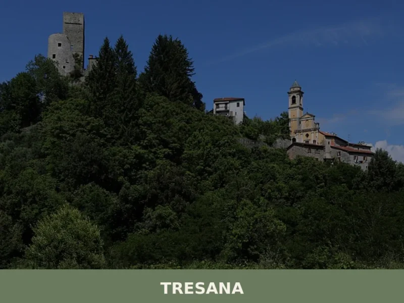
Tresana
Standing at 112 metres above sea level, in the valley floor where the Osca stream flows into the River Magra, Tresana is a scattered municipality in the province of Massa and Carrara, made up of over thirty hamlets spread between the plain and the surrounding hills. With a population of 2,071, it is one of […]
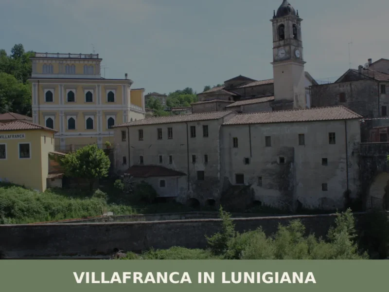
Villafranca in Lunigiana
What to see in Villafranca in Lunigiana: explore the Via Francigena, medieval churches and local cuisine in Toscana, Italy. Population 4,803. Discover it now.
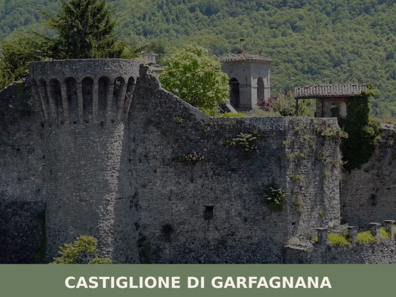
Castiglione di Garfagnana
What to see in Castiglione di Garfagnana, Italy: medieval walls, a 13th-century bridge, and the Rocca fortress at 545 m. Discover the full travel guide.
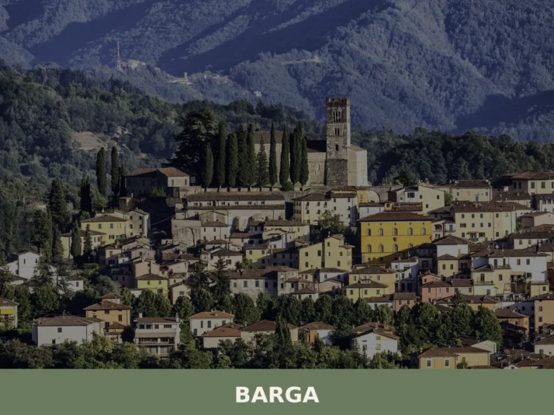
Barga
what to see a Barga, village toscano a 410 m s.l.m.: Duomo di San Cristoforo, Teatro dei Differenti, cuisine della Garfagnana. guide pratica con consigli su quando andare e how to get there.
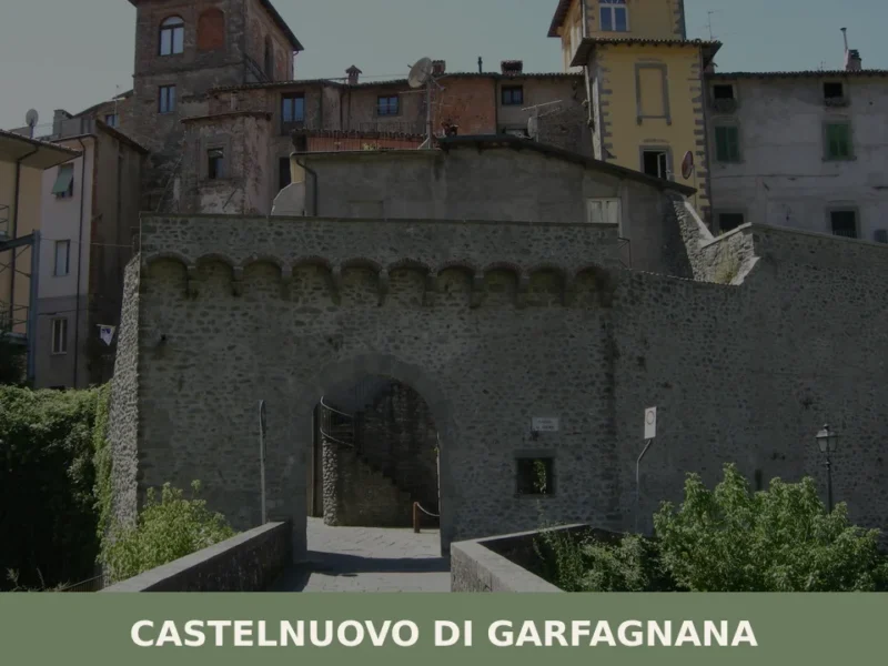
Castelnuovo di Garfagnana
What to see in Castelnuovo di Garfagnana: Rocca Ariostesca, the Cathedral and the historic centre. Discover the guide to plan your visit to this Tuscan village.
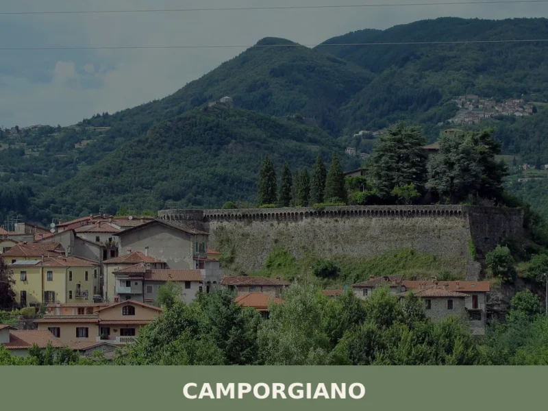
Camporgiano
What to see in Camporgiano, Italy: a hilltop comune at 475 m in Garfagnana, Toscana. Discover the fortress, San Iacopo feast and local chestnut traditions.
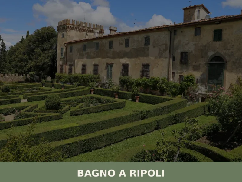
Bagno a Ripoli
What to see in Bagno a Ripoli, Italy: 25,488 inhabitants, 7 km from Florence. Discover top attractions, local food, and how to get there. Explore now.
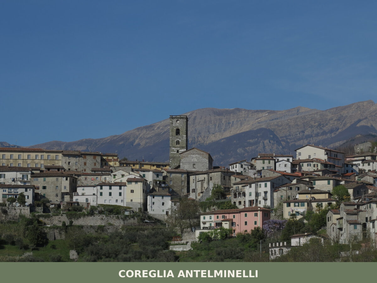
Coreglia Antelminelli
What to see in Coreglia Antelminelli, Italy: 3 Romanesque churches, a painted crucifix by Berlinghieri, and a village at 595 m. Explore the full guide.
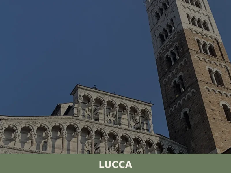
Lucca
Discover Lucca, Tuscany's enchanting walled village in Italy. Explore medieval streets, stunning architecture, and rich culture in this timeless Italian treasure.
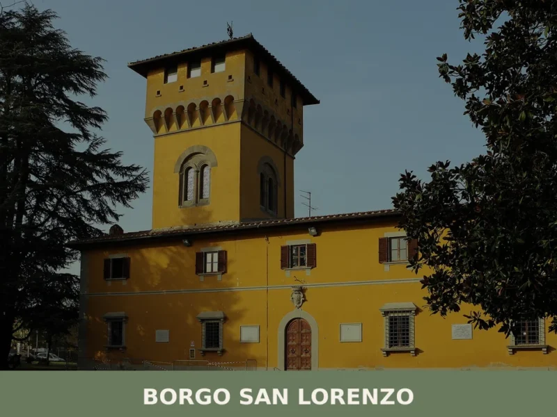
Borgo San Lorenzo
What to see in Borgo San Lorenzo, Italy: top attractions, local food, and how to get there. 20 km from Florence, 193 m altitude. Discover the Mugello valley.
🧀 Italian traditional products


🏡 Know Marciana better than we do?
If you’re a local or have been there, your knowledge matters: add what’s missing or fix a detail on this page.