


Petritoli
 Hills
Hills
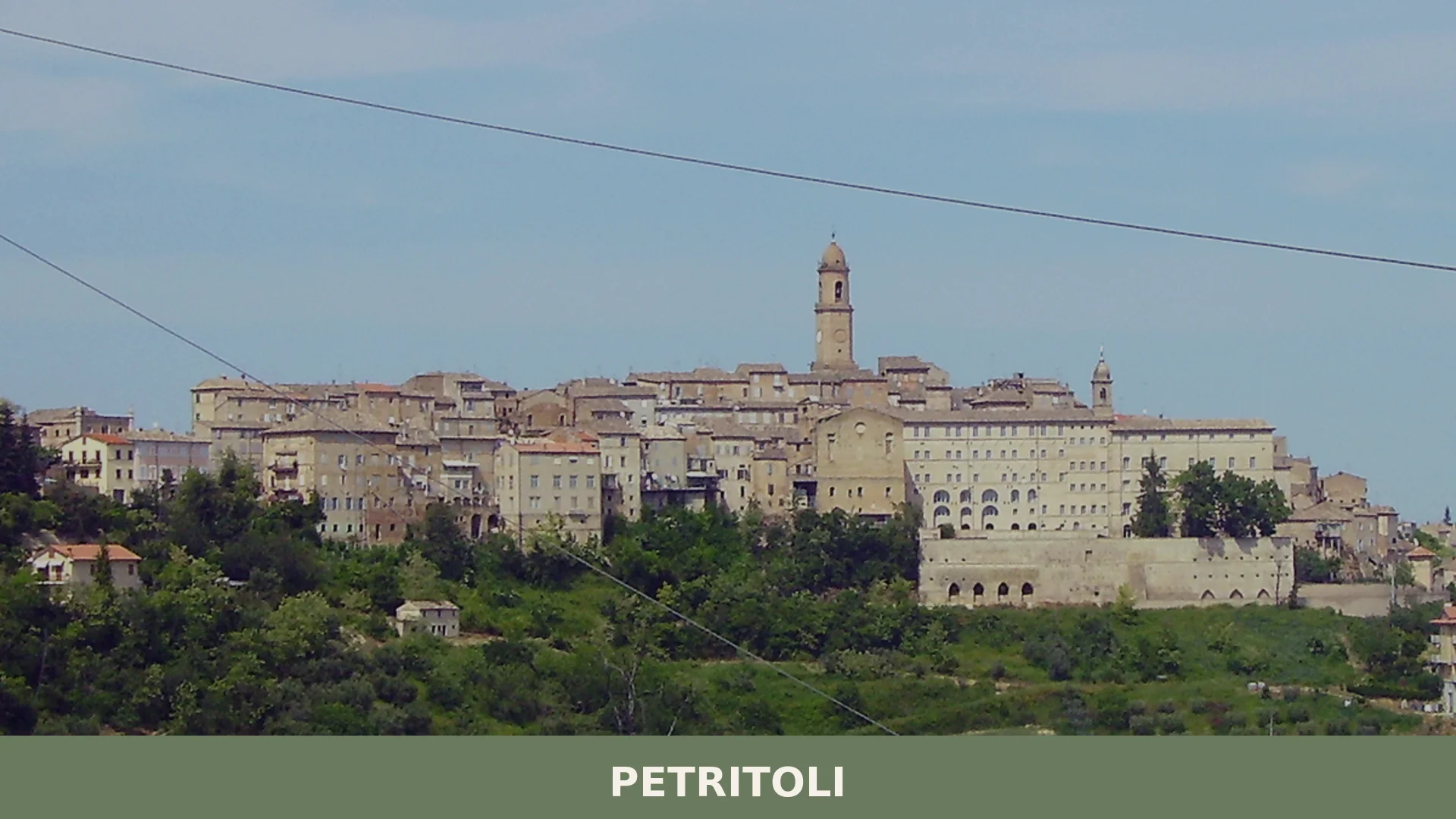
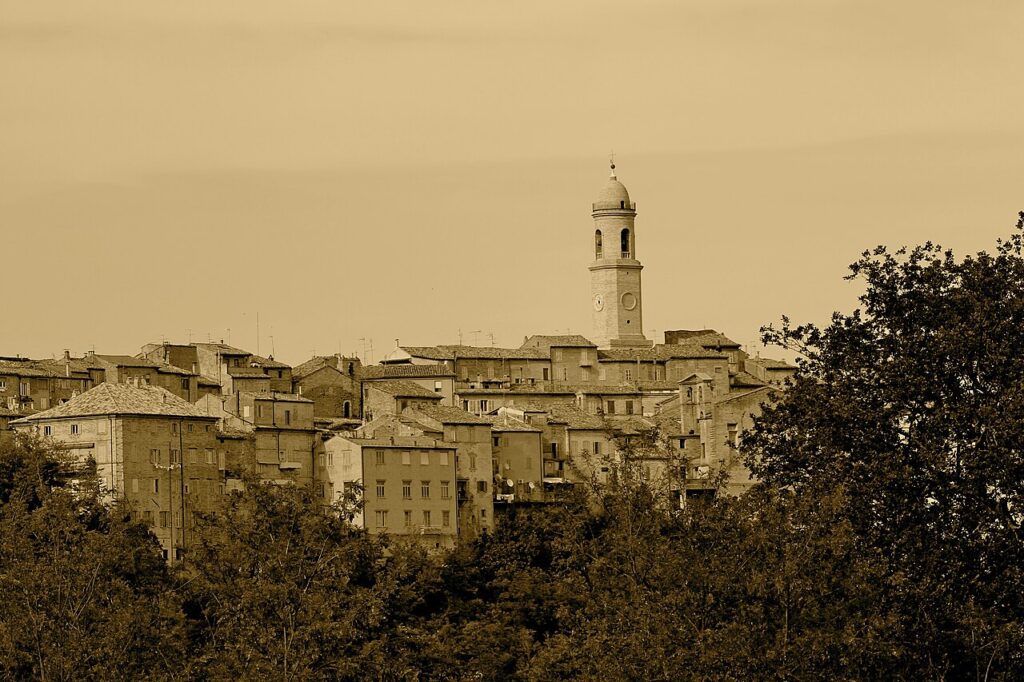
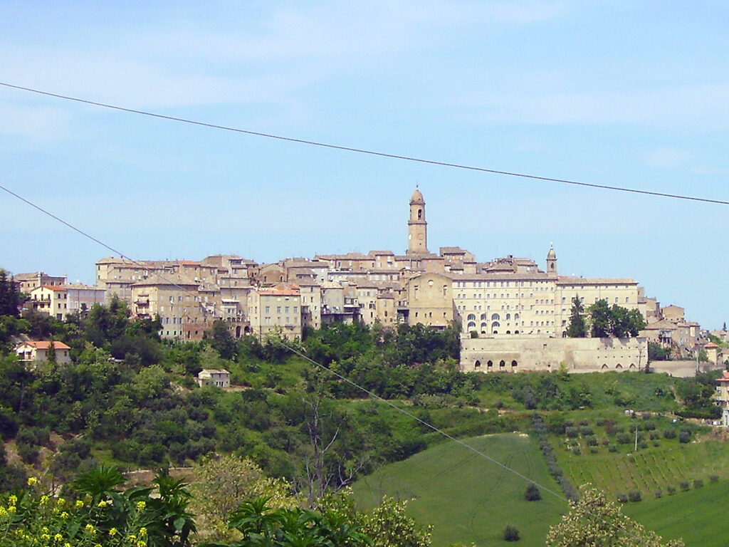
Petritoli is a hill town of around 2,100 inhabitants in the province of Fermo, Marche, set at 335 metres above sea level across seven hills on the left bank of the river Aso.
Discover Petritoli
Petritoli is a hill town of around 2115 inhabitants in the province of Fermo, in the Marche region of central Italy, sitting at 358 metres above sea level on the left bank of the river Aso. The municipality covers roughly 23.76 square kilometres across seven distinct hills, from the colle dell’Acquedotto in the west to colle San Savino in the east, with the ridge line serving as a natural watershed between the Aso basin and that of the river Ete Vivo. A small portion of the territory is entirely surrounded by the neighbouring comune of Carassai, a geographic quirk that gives Petritoli an unusually intimate relationship with its immediate landscape.
Founded by Farfense monks around the tenth century, developed through medieval autonomy and Napoleonic reorganisation, and still animated today by community traditions such as the annual Sagra della sporbatura, the Petritoli village in Marche presents a layered story that rewards unhurried exploration — from its medieval gateways and former convents to a nineteenth-century theatre that fell silent in 1957 and returned to life in 1982.
Petritoli village in Marche: history and origins
Petritoli was established by Farfense monks around the tenth century under the name Castel Rodolfo, passed through the hands of the baron Transarico of Saltareccia, and was ceded to the Bishop of Fermo in 1055 — a sequence of early medieval transitions that shaped the settlement’s character long before it gained a name resembling the one it bears today.
From 1198 the community governed itself through its own statutes, a period of relative autonomy that ended in 1250 when Frederick II captured the town and handed it to Fermo, then an imperial ally. The centuries that followed brought alternating episodes of siege, destruction, and partial self-rule. Under Napoleonic reorganisation the town received the designation of Cantone, and it subsequently played an active part in the Risorgimento movements of the nineteenth century.
Monuments and Architecture
Petritoli preserves a compact historic centre entered through three ogival arches, two fifteenth-century towers, a civic tower, a former Clarisse convent, a nineteenth-century theatre, and a former observant friars’ convent — all within or close to the old town.
The Medieval Gateway
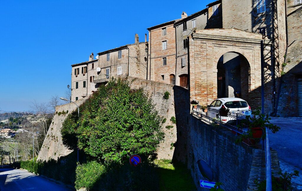
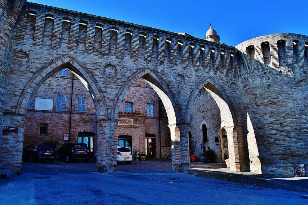
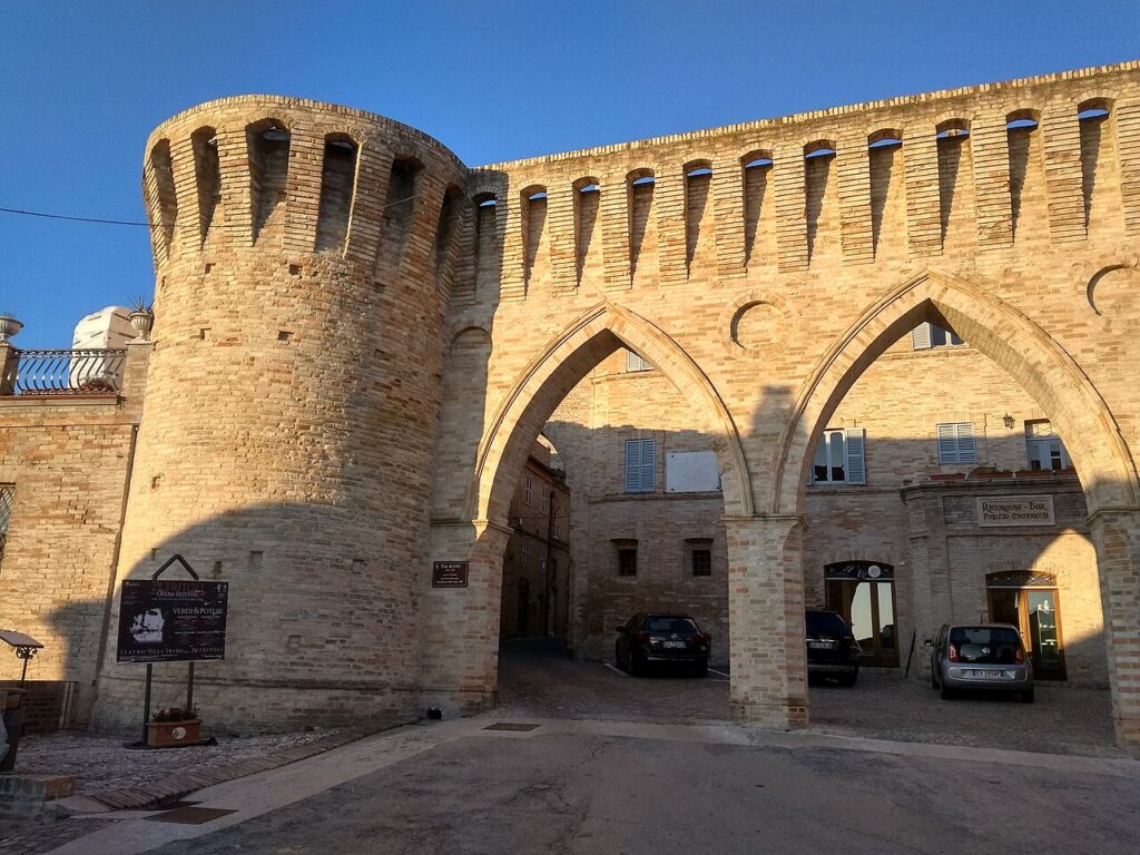
Access to the old town passes through three ogival arches built in the nineteenth century, set within two towers dating to the fifteenth century. The pairing of later arches with earlier defensive structures marks the main threshold between the modern town and its medieval core.
Ex Convent of the Clarisse — Palazzo Comunale
The former convent of the Clarisse now serves as the town hall. One of its interior rooms retains a wooden choir dating to the seventeenth century.
Civic Tower
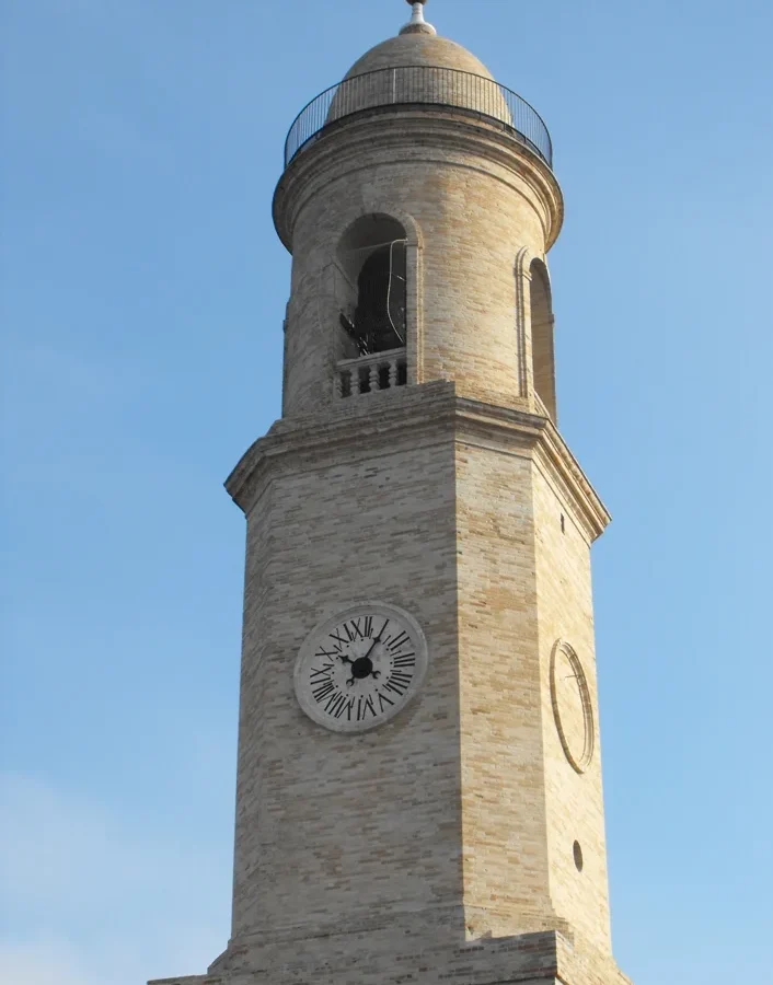
Built in the nineteenth century, the tower is composed of three superimposed forms: a rusticated square base, an octagonal section above it, and a cylindrical upper body finished with a small cupola. Both the octagonal and cylindrical sections are in brick.
Palazzo Vitali
Standing on the main corso, Palazzo Vitali is a twentieth-century building in a Gothic-Venetian style.
Teatro dell’Iride
Designed by architect Giuseppe Sabbatini and built between 1873 and 1877, the Teatro dell’Iride was inaugurated on 20 May 1877. The design was inspired by the Teatro della Fortuna in Fano. The theatre closed in 1957 on safety grounds and reopened in the spring of 1982 following restoration works.
Ex Convent of the Observant Friars
Outside the historic centre, the former convent of the minor observant friars now houses a medical outpatient facility. The attached church has an eighteenth-century coffered ceiling of octagonal panels decorated with tempera paintings, and contains an organ by Callido.
Antiche Fonti Washhouse
In the Papagnano district, close to the historic centre, a public washhouse with its associated spring — known as the Antiche Fonti — has been restored after a period of abandonment.
Moregnano
The village of Moregnano, which was an independent municipality until 1869, is laid out as a fortified settlement on a hill at 358 metres above sea level, to the north of Petritoli’s territory.
Petritoli and Its Territory: Certified Products and Provincial Flavours
The area around Petritoli falls within a stretch of the Marche countryside where IGP-certified Maccheroncini di Campofilone — a thread-thin egg pasta traditional to the Fermo hills — and IGP Agnello del Centro Italia represent the most recognized food credentials of the province. Neither is exclusive to Petritoli itself, but both reflect the agricultural character of the territory that surrounds the town.
Among the PAT products documented for this part of Marche, vino cotto and vino di visciole stand out as long-established expressions of local rural tradition. Vino cotto is produced by cooking grape must until reduced, while vino di visciole blends fermented sour cherry juice with wine. Also listed for the region are sapa, visner, and liquore al cumino, each tied to the broader inland area rather than to Petritoli specifically.
On the wine side, the vineyards closest to Petritoli feed into several notable appellations. The Rosso Piceno DOC and Falerio DOC are the most immediate references for the Aso valley, while the Offida DOCG — recognised for its Pecorino and Passerina whites as well as its Rosso — represents the area’s highest designation. The IGT Marche umbrella covers a wider range of regional styles.
Planning your visit and getting there
Petritoli can be reached easily from the lower Val Pellice and the Turin area. The practical distances and journey times below are kept concise on purpose, so the access information stays clear and consistent.
| Departure | Distance | Time |
|---|---|---|
| Fermo | approx. 35 km | approx. 40 min |
| Porto San Giorgio (uscita A14) | approx. 25 km | approx. 30 min |
| Ascoli Piceno | approx. 50 km | approx. 55 min |
These practical reference points are enough to plan the journey without overloading the text with unstable logistics. Once on site, the village is best understood slowly, on foot and in relation to the surrounding landscape.
Frequently asked questions about Petritoli
When is the best time to visit Petritoli?
June is ideal for experiencing Petritoli's patron saint celebration on June 24th, honouring San Giovanni Battista with traditional festivities. The annual Sagra della sporbatura also showcases local food traditions. Summer offers pleasant weather for exploring the medieval hilltop village and surrounding countryside. Spring and autumn provide comfortable temperatures for walking the seven hills that characterise the landscape.
What is the Sagra della sporbatura and when does it occur?
The Sagra della sporbatura is Petritoli's traditional community celebration dedicated to local culinary heritage. While exact dates vary annually, it typically occurs in summer and represents an opportunity to experience authentic Marche flavours and regional specialities prepared according to traditional recipes, reflecting the village's deep connection to its agricultural landscape and cultural identity.
How do I reach Petritoli by car from nearby cities?
Petritoli is located in the province of Fermo in Marche, approximately 40 kilometres inland from the Adriatic coast. The nearest motorway access is via the A14 autostrada. From Fermo (about 20 kilometres away), take regional roads heading northeast through the hills. The village sits at 358 metres elevation on the left bank of the river Aso, accessible by well-maintained provincial routes through rolling Marche countryside.
What makes Petritoli's geography unique?
Petritoli's territory spans roughly 24 square kilometres across seven distinct hills, from colle dell'Acquedotto westward to colle San Savino in the east. The ridge line acts as a natural watershed between the Aso and Ete Vivo river basins. Remarkably, a small portion of Petritoli territory is completely surrounded by the neighbouring comune of Carassai, creating an unusually intimate relationship with the immediate landscape.
What historical layers does the village reveal?
Founded by Farfense monks around the tenth century as Castel Rodolfo, Petritoli evolved through medieval autonomy and Napoleonic administrative reforms. Visitors can explore medieval gateways, former convents, and a nineteenth-century theatre that operated until 1957, then was restored and reopened in 1982, representing the village's continuous cultural resilience across centuries.
📷 Photo Gallery — Petritoli
In Marche More villages to discover
Fratte Rosa
Hills
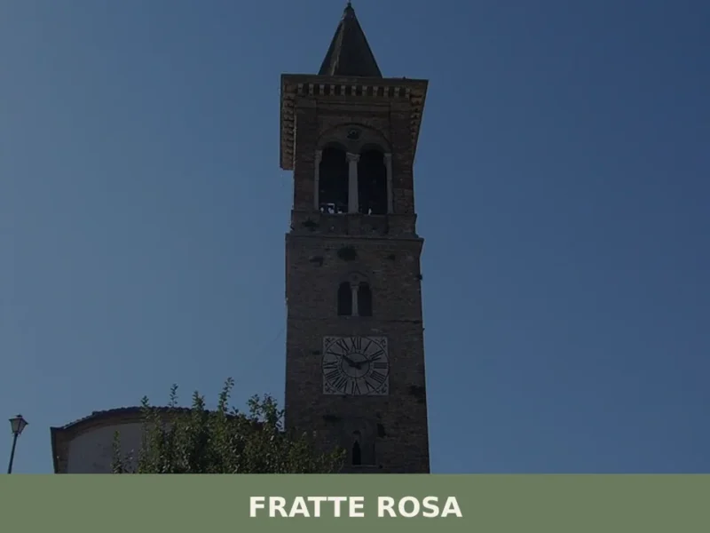
With its 847 inhabitants and an altitude of 419 meters above sea level, Fratte Rosa is located in the province of Pesaro and Urbino, a hilly area of the Marche region. The village’s name “Rosa” is historically linked to the color of a local clay, an essential component for the practice of pottery, documented in […]
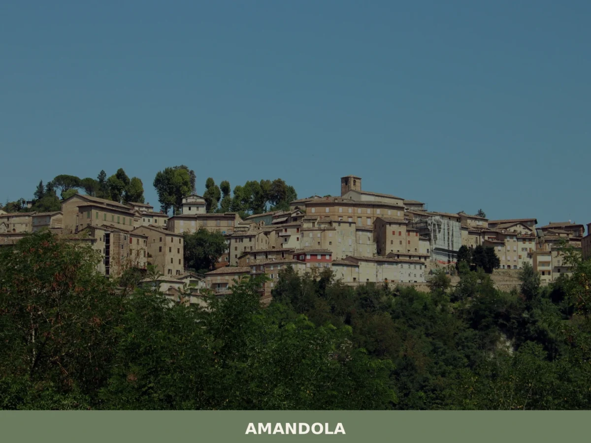
Amandola
Hills
What to see in Amandola: 5 attractions in this Marche village, from the historic centre to the Sibillini Mountains. Discover the complete guide and plan your visit.
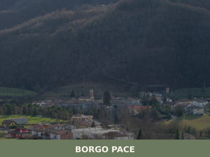
Borgo Pace
Hills
Two rivers converge here — the Meta and the Auro — and their meeting point gives this settlement its ancient rhythm. In the early morning, mist lifts off the water and clings to stone walls darkened by centuries of wood smoke. Borgo Pace sits at the edge of the Apennine watershed in the province of […]

Grottammare
 Sea
Sea
Home to a perfectly preserved medieval borgo and 15,924 residents, Grottammare offers a rare meeting of Adriatic beaches and Renaissance history on the Marche coast.
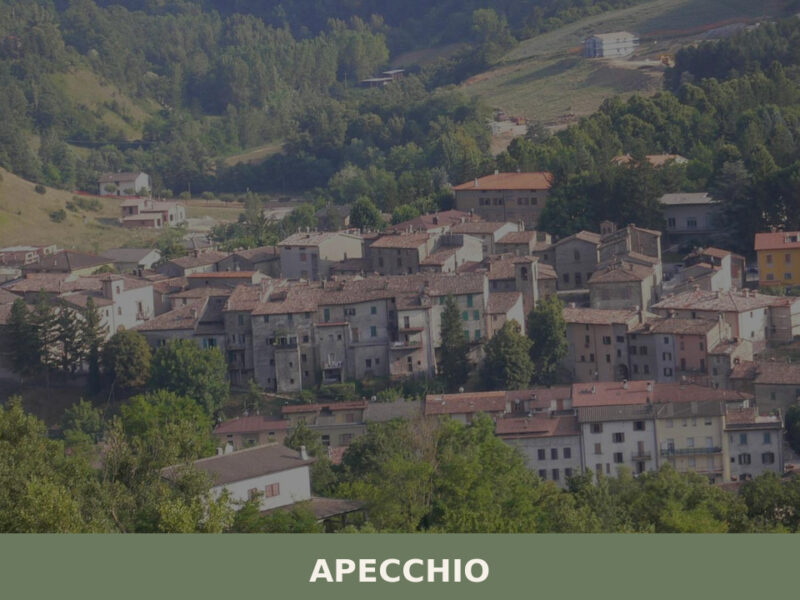
Apecchio
Hills
Morning mist lifts off the Biscubio river and the medieval bridge emerges in grey stone, its arches still carrying the weight of six centuries. A bell tower marks the hour above terracotta rooftops, and the smell of woodsmoke mixes with damp earth from the surrounding Apennine slopes. At 493 metres above sea level, this small […]
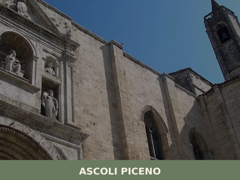
Ascoli Piceno
 Plains
At 154 meters above sea level, in the heart of southern Marche, Ascoli Piceno rises between the waters of the Tronto river and its tributary, the Castellano, a natural crossroads that has shaped its identity over millennia. In this article History and origins of Ascoli Piceno What to see in Ascoli Piceno: main attractions Typical […]
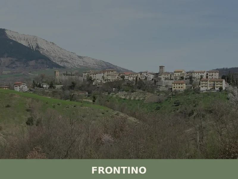
Frontino
Hills
Frontino has around 300 inhabitants today, spread across a hilly area in the province of Pesaro and Urbino at 519 metres above sea level, along the eastern slope of the Apennines separating the Marche from Tuscany and Romagna. The municipality, one of the least populated in the entire region, retains a compact and legible urban […]
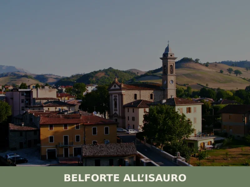
Belforte all’Isauro
Hills
Morning light catches the stone walls of the old borgo before it reaches the valley floor, warming the façades to a pale amber. Below, the Isauro river — a modest tributary of the Foglia — moves quietly between wooded banks. With fewer than 800 inhabitants, Belforte all’Isauro occupies a stretch of the upper Montefeltro where […]
Monteciccardo
Hills
Monteciccardo first appears in a document from 1233 under the name Mons Sicardi, referring to a Lombard lord of whom no other trace survives. Standing at 384 metres above sea level, with its 1,643 inhabitants spread between the historic centre and scattered hamlets, the village commands a stretch of the Pesaro hills sloping down towards […]
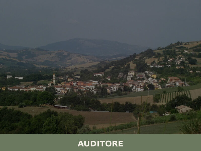
Auditore
Hills
Morning light falls across a line of stone houses the colour of dry wheat, and somewhere below the rooftops a church bell marks the hour with a single, unhurried stroke. Auditore sits in the hill country of the province of Pesaro e Urbino, a settlement of 1,631 people where the Foglia river valley opens toward […]


🏡 Know Petritoli better than we do?
If you’re a local or have been there, your knowledge matters: add what’s missing or fix a detail on this page.