


Roccamontepiano
What to see in Roccamontepiano, Abruzzo, Italy: explore a hilltop village at 450 m with a 1765 landslide history. Discover the Saint Roch festival and more.
Discover Roccamontepiano
The slope of Montepiano drops in layers of pale limestone and scrub oak, cut through by the Alento river and its tributary the Focaro.
Two small lakes — San Rocco and Cimmo — interrupt the terrain east of the ridge.
At 450 m (1,476 ft) above sea level, the rebuilt streets of this village in the province of Chieti occupy ground that was deliberately chosen after catastrophe: the original settlement above was buried in June 1765, and nothing on the current townscape predates that reckoning entirely.
Deciding what to see in Roccamontepiano begins at 450 m (1,476 ft) on the Montepiano slopes, where a population of around 1,784 inhabitants occupies a territory of 18 km² (6.9 sq mi) divided into several hamlets.
Visitors to Roccamontepiano find a layered settlement — the Saint Rocco Sanctuary, the remnants of medieval ecclesiastical architecture, and an annual procession on 16 August that has been observed for generations. The Roccamontepiano highlights include riverside walking along the Alento and the visual record of how an entire community reconstructed itself from scratch after a landslide destroyed over five centuries of continuous habitation.
History of Roccamontepiano
The earliest recorded layer of Roccamontepiano is military.
A rocca, or Lombard fortress, was erected on the Montepiano ridge to defend the eastern approaches to the Maiella massif — a defensive logic that explains the village’s elevated position and its commanding sight lines over the valley below.
From the 10th or 11th century onward, Benedictine monks from the Abbey of San Liberatore a Maiella moved into the settlement, establishing a monastic presence that would shape the community’s religious and agricultural organisation for several hundred years. The Arab geographer Muhammad al-Idrisi included the village in cartographic work he compiled in the 12th century, recording it under the name Ruqqua N Lan — the earliest documented reference to the settlement by name.
By the 14th century, Latin documents refer to the place as Rocca Montis Plani or Rocca De Monte Plano, and the territory was subdivided into four fiefdoms — Pomaro, San Pietro, Sant’Angelo, and Polegra — all held under the authority of the Monastery of San Liberatore a Majella.
The 15th century brought the village under the control of the Orsini family, one of the most powerful noble dynasties in central Italy.
Ownership then passed to Bartolomeo d’Alviano, the condottiere and military commander, before the Colonna family of Rome took control after the 18th century.
Each of these noble houses left its administrative mark on the territory, though the physical record was largely erased by what came next. Villages across the Chieti uplands share this pattern of layered feudal control, and the nearby comune of Giuliano Teatino, situated in the same provincial territory, passed through comparable cycles of aristocratic ownership during the medieval and early modern periods.
On 24 June 1765, following several consecutive days of heavy rain, a landslide destroyed the original settlement almost entirely. The rocca itself was levelled, along with the majority of the village’s built fabric. The Monastery of San Pietro and three small churches survived.
Estimates placed the death toll at over 500 people.
The community was subsequently rebuilt lower down the hillside — a decision that gave Roccamontepiano its current layout and explains the relative youth of much of the surviving architecture.
Census data tracks the recovery: the rebuilt town counted 2,425 inhabitants by 1861, rising to 2,766 in 1901 and reaching a recorded peak of 3,017 in 1951. Subsequent decades brought rural depopulation; the 2021 census recorded 1,572 residents. Among the notable figures connected to the village is Giovanni Legnini, a politician and former mayor.
What to see in Roccamontepiano, Abruzzo: top attractions
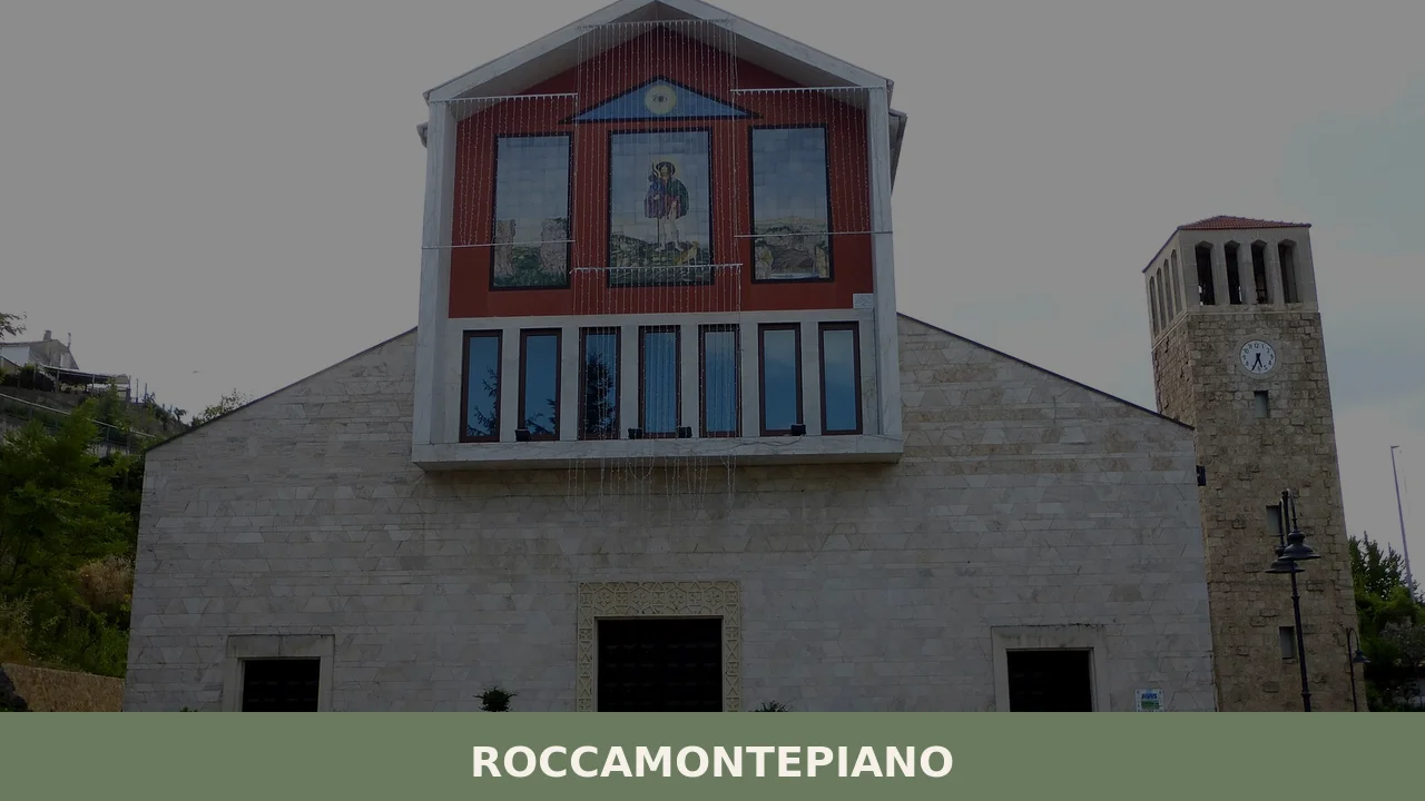
Saint Rocco Sanctuary
The sanctuary marks the site of a spring that, according to documented local tradition, was the location of a miracle attributed to Saint Roch during visits he made to the village between 1368 and 1370. The building survived the catastrophic 1765 landslide that destroyed the original settlement higher up the ridge, which positions it as one of the oldest continuous religious sites in the comune.
Visitors standing at the spring can observe the architectural layers accumulated across several centuries of use and rebuilding.
The sanctuary is most active on 16 August, when the festival of Saint Roch draws the local population for a procession and communal feast, making that date the most atmospheric time to visit the site.
The Alento River Valley
The Alento river runs through the full extent of the Roccamontepiano territory, joined by its tributary the Focaro as both cut through the lower slopes of Montepiano.
The valley floor sits several dozen metres below the village streets, and the descent offers a direct sense of the topographic logic that made this ridge defensible for medieval inhabitants. The river corridor passes through terrain that includes partly mountainous sections and flatter agricultural land.
Walking the valley in spring, when snowmelt from the Maiella keeps water levels visible and consistent, gives a clearer reading of the hydrology that sustained the original Lombard settlement and the Benedictine community that followed it.
Lakes San Rocco and Cimmo
Two lakes — San Rocco and Cimmo — lie within the boundaries of the comune, occupying depressions in terrain that spans 18 km² (6.9 sq mi) of mixed mountain and valley land.
Their presence within a small upland comune of fewer than 2,000 inhabitants makes them a relatively unusual feature in this part of the Chieti province. Lake San Rocco shares its name with the sanctuary above it, indicating a long-established association between the water source and the saint’s cult.
Both lakes are accessible from the network of rural tracks that connect the main settlement to the surrounding hamlets of San Rocco, Terranova, Reginaldo, Pomaro, and Sant’Angelo.
Early morning visits in autumn, when mist holds low over the water, produce the clearest view of the surrounding ridgeline.
The Rebuilt Historic Centre
The current town plan dates almost entirely from after 1765, when the original village was reconstructed lower on the Montepiano slope following the landslide that killed over 500 people and erased the rocca and most of the existing buildings.
The street pattern reflects an 18th-century resettlement layout rather than the organic accretion of a medieval borgo. Walking the centre, which covers ground at approximately 450 m (1,476 ft) elevation, visitors can read the relatively uniform building periods in the masonry and proportions of the structures. The Monastery of San Pietro, which survived the 1765 disaster, provides a physical reference point for the scale of what was lost and what was preserved.
The contrast between surviving pre-disaster fabric and the rebuilt post-1765 town is legible to anyone who looks carefully at construction dates and materials.
The Hamlets: San Rocco, Terranova, Reginaldo, Pomaro and Sant’Angelo
Roccamontepiano is classified as a comune sparso — a comune composed of dispersed settlements rather than a single compact centre. Five named hamlets extend across the 18 km² (6.9 sq mi) territory: San Rocco, Terranova, Reginaldo, Pomaro, and Sant’Angelo. Pomaro and Sant’Angelo both appear in 14th-century documents as separate fiefdoms under the Monastery of San Liberatore a Majella, which establishes a minimum age of 700 years for these settlements.
Driving or walking between hamlets covers gradients that reflect the partly mountainous character of the terrain.
The dispersed layout means that what to see in Roccamontepiano extends well beyond the rebuilt centre, and each hamlet retains a distinct physical character shaped by its position on the ridge.
Local food and typical products of Roccamontepiano
The food culture of this part of the Chieti province is rooted in the agricultural and pastoral economies that shaped upland Abruzzo for centuries.
Benedictine monks at the Abbey of San Liberatore a Maiella, who occupied the Roccamontepiano territory from the 10th or 11th century onward, brought with them land management practices oriented toward grain cultivation, sheep herding, and vegetable growing on terraced slopes. Those land-use patterns persisted long after the monastic presence diminished, and the traditional kitchen of the area reflects that continuity: it is economical in ingredients, reliant on preserved and dried products, and built around techniques suited to altitude and seasonal constraint.
Pasta remains the structural element of the local table.
Spaghetti alla chitarra — egg pasta cut by pressing sheets through a frame of steel wires — is the regional format common across the Chieti uplands, typically served with a ragù of lamb or pork.
Arrosticini, small skewers of mutton or castrated lamb fat grilled over long narrow charcoal braziers called furnacelle, represent the pastoral tradition directly: the meat is cut into cubes of roughly 1 cm (0.4 in), threaded on wooden sticks, and cooked quickly at high heat.
The result is fatty, lightly charred, and served by the dozen. Polenta with pork or wild boar sauce functions as a cold-weather staple, reflecting the altitude and the length of winters at 450 m (1,476 ft). Legumes — particularly lentils and chickpeas grown on the dry hillside terraces — appear in soups combined with short pasta or toasted bread.
The Abruzzo region produces several certified products relevant to the broader culinary context of the Chieti province, including Pecorino di Farindola, a raw sheep’s milk cheese distinguished by the use of pig’s rennet rather than the calf’s rennet standard elsewhere.
Saffron cultivated in the L’Aquila province holds DOP (Protected Designation of Origin) status and appears as a seasoning in rice and egg-based preparations across the region.
Olive oil from the Aprutino Pescarese area also holds DOP designation.
These products are not exclusive to Roccamontepiano but circulate through local markets and supply the tables of the wider Abruzzo interior.
Local markets and small food shops in the Chieti uplands tend to carry seasonal produce in spring and autumn. Late summer — July through September — is the period when preserved products, dried pulses, and cured meats from the previous season are most readily available in village shops. Carrying cash in euros is practical, as smaller shops and market stalls in villages of this size may not reliably accept card payments.
Festivals, events and traditions of Roccamontepiano
The central event in Roccamontepiano’s annual calendar falls on 16 August, the festival of Saint Roch.
The occasion commemorates the saint’s documented association with the village, recorded as spanning the years 1368 to 1370.
The festival incorporates a visit to the Saint Rocco Sanctuary, where some participants drink water from the spring that local tradition identifies as the site of a miracle the saint performed. A formal procession follows, in which women dressed in traditional costume carry conche — ceramic vessels originally used to transport water — filled with flowers on their heads.
The procession moves through the village streets before concluding in a communal feast.
The 16 August festival connects a religious observance to a set of practices that link back to the village’s pre-1765 history on the upper slope of Montepiano. The conche carried in procession reference the practical use of the spring at the sanctuary as a water source, embedding an everyday necessity into ceremonial form.
The feast that follows the procession draws on the same agricultural and pastoral products that define the local kitchen throughout the year. No other festivals or documented annual events in Roccamontepiano appear in the available sources beyond this August celebration.
When to visit Roccamontepiano, Italy and how to get there
The best time to visit Roccamontepiano depends on what a visitor prioritises.
Late spring — May and June — brings the territory’s vegetation to full growth, with the Alento valley floor green and the lakes at their highest water level following winter runoff from the Maiella massif. Autumn, from late September through November, offers stable dry weather, lower visitor pressure across Abruzzo more broadly, and access to seasonal produce in local markets. The 16 August festival is the single event-specific reason to time a visit to mid-August, though summer temperatures at this altitude are moderate rather than extreme.
Winter access to the hamlets and higher terrain requires caution given snowfall potential above 400 m (1,312 ft).
Roccamontepiano, Abruzzo, Italy sits approximately 25 km (15.5 mi) from the city of Chieti, which serves as the practical hub for a day trip to the village. From Chieti, the route follows the SS5 and then provincial roads into the Montepiano foothills; the drive takes roughly 35 to 40 minutes depending on conditions.
From Pescara, the nearest city with a functioning rail interchange and an airport, the distance is approximately 40 km (24.9 mi), with a drive of around 50 minutes. The Trenitalia network serves Chieti station with connections from Rome (approximately 2 hours 30 minutes by fast regional service) and from Pescara Centrale (around 15 minutes).
From Chieti station, reaching Roccamontepiano requires a car or taxi, as no direct bus service to the village is documented in the available sources.
If you arrive by car from the A25 motorway (Rome–Pescara), exit at Chieti Scalo and follow provincial roads northward toward Montepiano; total distance from the exit is approximately 20 km (12.4 mi). International visitors should carry euros in cash, as card facilities are limited in smaller village shops across this part of the Chieti interior. English-language assistance in local shops and bars is not guaranteed.
From Rome, Roccamontepiano lies roughly 220 km (136.7 mi) to the northeast, accessible via the A25 autostrada in approximately 2 hours 30 minutes by car.
This distance puts the village within a realistic range for a full-day excursion from the capital, particularly combined with a stop in Chieti or a visit to the Maiella National Park.
Travellers extending their Abruzzo itinerary westward might also consider Cappadocia in Abruzzo, a comune in the L’Aquila province that sits within the same upland landscape and offers a comparable encounter with medieval settlement patterns in the Apennine interior.
Visitors covering the Chieti province more thoroughly can pair Roccamontepiano with a stop at Monteferrante, a small comune to the south that shares the same pattern of medieval foundation and later feudal reorganisation characteristic of this part of the Chieti uplands.
Further east, the village of Corvara occupies terrain within the same provincial framework and adds variety to a circuit of the Chieti interior without requiring significant additional driving time.
📷 Photo Gallery — Roccamontepiano
Nearby Villages near Roccamontepiano
In Abruzzo More villages to discover
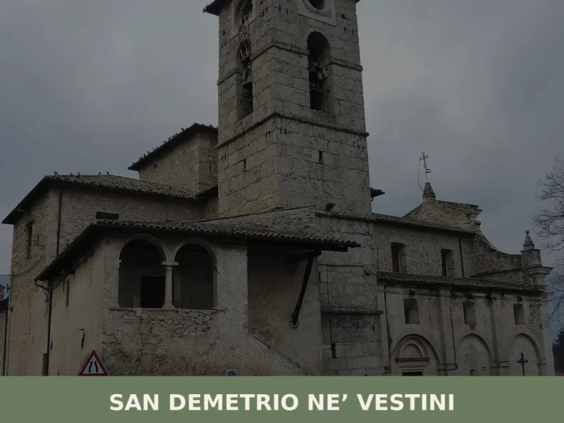
San Demetrio ne’ Vestini
What to see in San Demetrio ne’ Vestini: discover the village, the historic center, and the main church. Plan your visit and unmissable attractions!
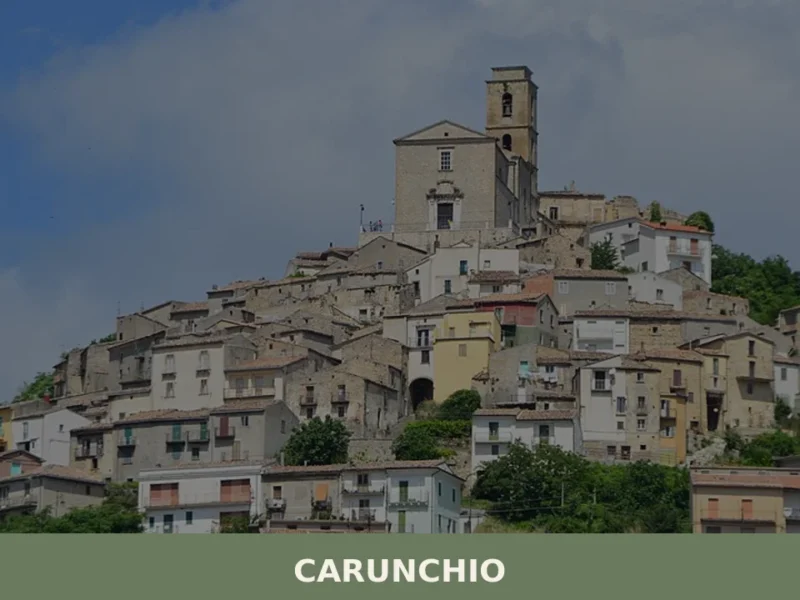
Carunchio
Carunchio is home to 565 inhabitants, spread along a ridge at 714 metres above sea level in the southern part of the province of Chieti, close to the border with Molise. The municipal territory extends between the Treste river and the Elce stream, two watercourses that have shaped the morphology of these clay hills over […]
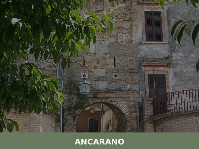
Ancarano
At 295 metres above sea level, where the province of Teramo brushes against the border with the Marche, Ancarano occupies a strip of hilly territory that slopes down towards the Val Vibrata, with a population of 1,824 inhabitants spread between the historic centre and the surrounding hamlets. Anyone wondering what to see in Ancarano will […]
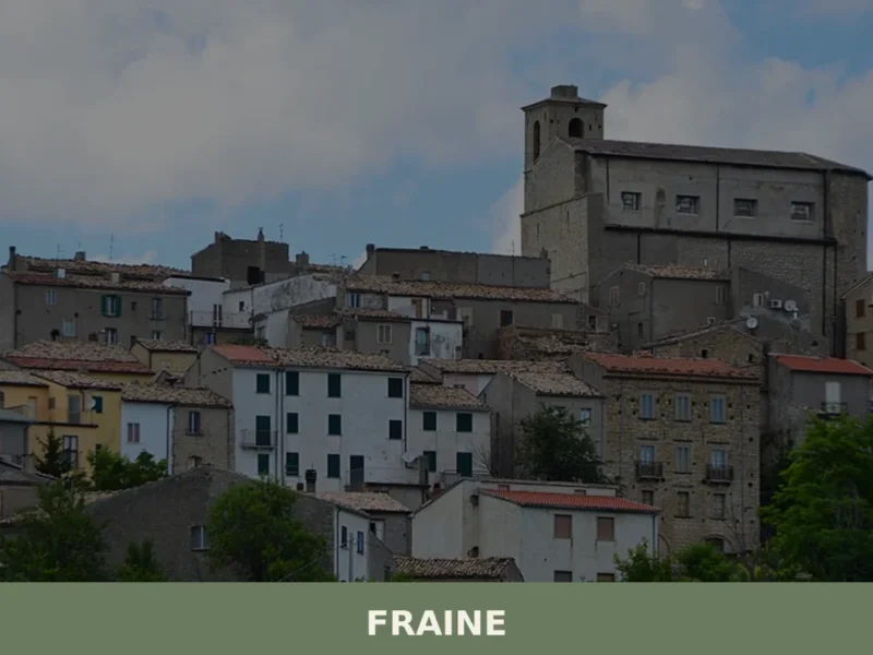
Fraine
At 751 meters above sea level, in the Chieti area, lies Fraine, a municipality with a population of 261 inhabitants. This village, whose history dates back to the 10th-11th century, serves as an observation point over the Alto Vastese territory. For those wondering what to see in fraine, the town offers a journey through the […]
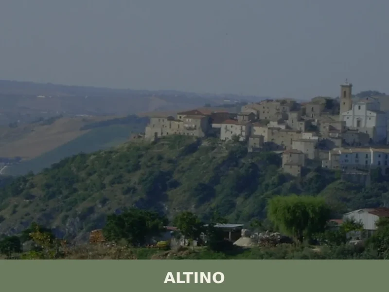
Altino
What to see in Altino? Explore the 5 main attractions of this village with 3,067 inhabitants, from the Sweet Pepper Museum to the Mother Church. Plan your visit!
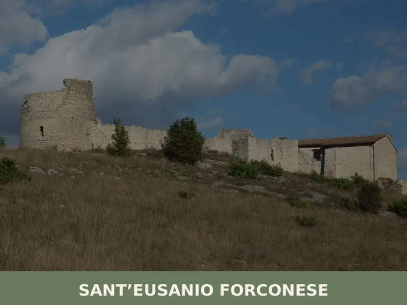
Sant’Eusanio Forconese
What to see in Sant’Eusanio Forconese? Explore 5 main attractions of this Abruzzo village, from the Castle to panoramic views. Plan your visit with our guide!
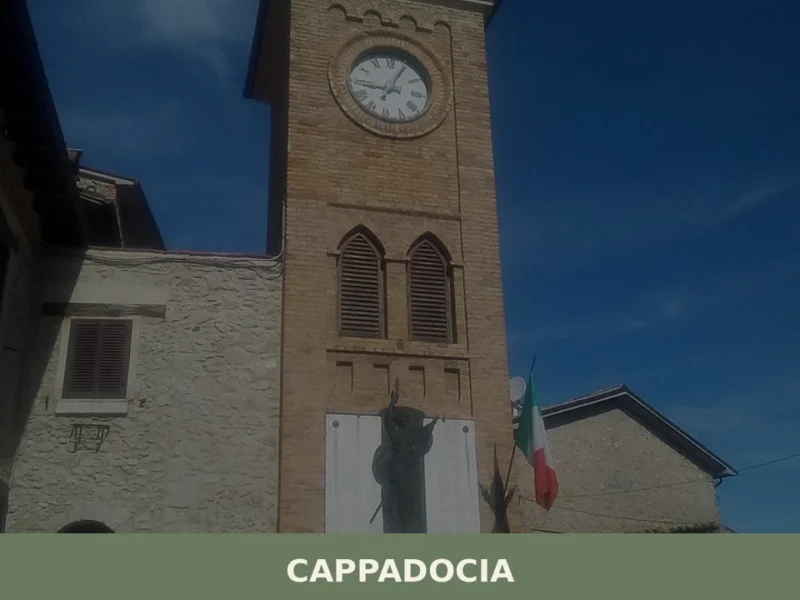
Cappadocia
Cappadocia: discover historic churches and natural trails. Plan your visit today and experience the authenticity of this Abruzzo village.
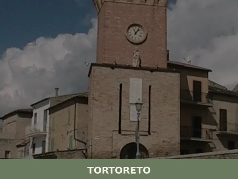
Tortoreto
The village of Tortoreto, located in the province of Teramo, stands at 227 meters above sea level, maintaining an observation position over the Adriatic coast. Its historical foundation is attested in Roman times with the name of Castrum Salini, a settlement that indicated its proximity to salt pans and its function of territorial control. Today, […]
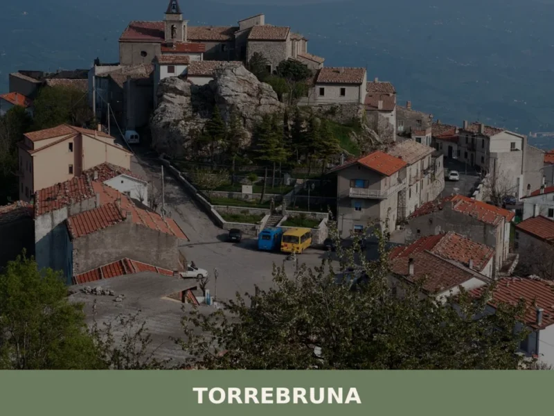
Torrebruna
What to see in Torrebruna, Italy: 3 historic monuments, 879 inhabitants, fortified boroughs and a 17th-century church. Discover how to get there and when to visit.
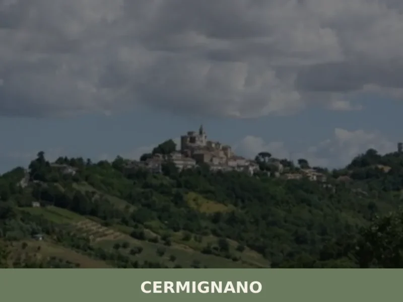
Cermignano
From the heights of Cermignano, at 563 meters above sea level, the gaze embraces the Abruzzese valleys, shaped by a succession of hills sloping down towards the Adriatic Sea. This small center, inhabited by 1,440 people, retains the typical appearance of the rural villages in the province of Teramo, where life still flows at rhythms […]


🏡 Know Roccamontepiano better than we do?
If you’re a local or have been there, your knowledge matters: add what’s missing or fix a detail on this page.