


Altopiano della Vigolana
Five thousand inhabitants spread across four frazioni at 725 metres altitude. Roman roads, medieval churches and a 2015 municipal reunification anchor this mountain village in the Upper Valsugana.
Altopiano della Vigolana: A Plateau of Stone, History and Four United Communes
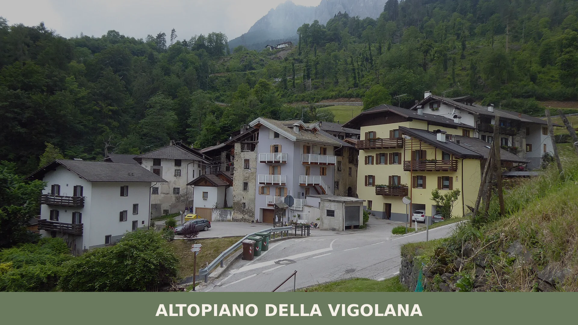
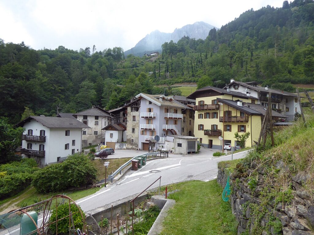
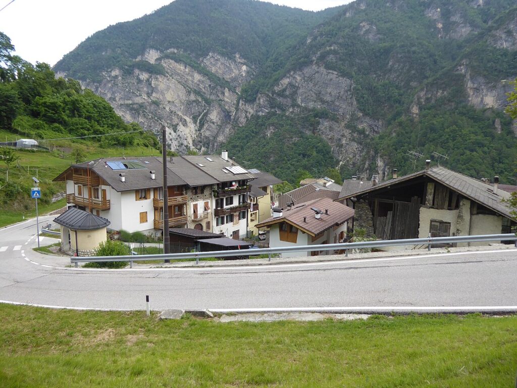
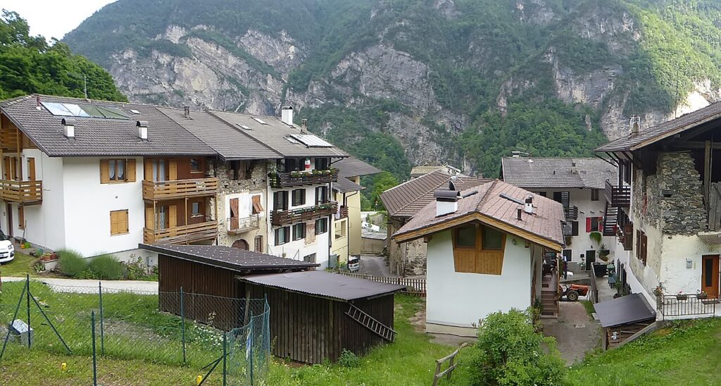
Altopiano della Vigolana lies at 725 metres on a plateau where stone walls hold centuries of Alpine settlement, where four separate villages each maintain their own parish church, and where the provincial capital Trento is only a few kilometres away. The air here is thin and clear; the architecture speaks of German-speaking settlers and Venetian stone-cutters who walked the same slopes. This is not a single town but a confederation of rural frazioni that only recently chose to reunite as a single municipality.
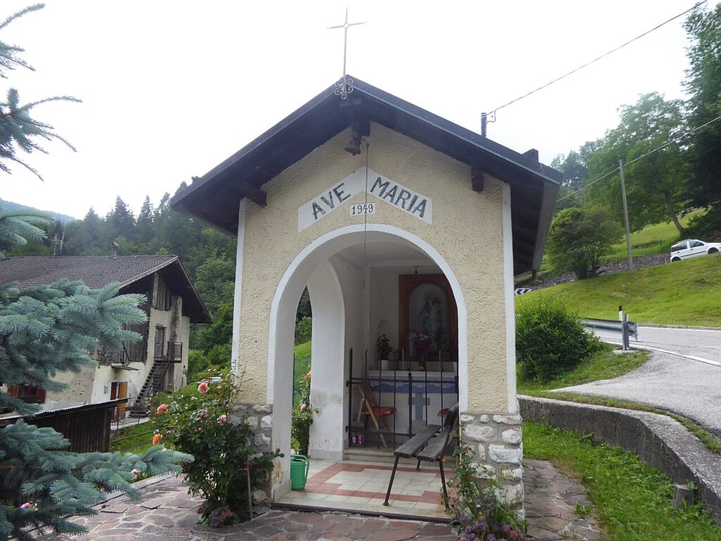
Altopiano della Vigolana village in Trentino-Alto Adige occupies a strategic position along an ancient Roman corridor connecting the Valsugana with the Adige valley. Visitors arrive expecting isolation and find instead a working agricultural landscape, mountain routes that reward walking, and religious monuments whose details—a paleochristian relief, a 17th-century apparition shrine, a Renaissance-era chapel—reward close attention.
A Plateau Crossed by Ancient Roads
The villages of this plateau have roots in Roman times. An ancient road linking the Valsugana to the Valley of the Adige passed through these settlements, making them routes of movement rather than refuges from the world. During the Middle Ages, this same geography became a liability: armies passed through regularly, and local populations endured raids and disruptions. Vigolo Vattaro suffered especially during conflicts between rival factions of Trentino nobles.
From 1020 until 1801, the plateau lay under the spiritual and temporal authority of the Prince-Bishop of Trento. Medieval German colonists settled here during this period—evidence survives in family names and in the dialect spoken in some hamlets. The Bishop’s long rule shaped not only the religious life of the settlements but also their legal status and property arrangements; local noble families like the Tabarelli de Fatis held rights to specific churches and exercised feudal duties that persisted into the early modern period.
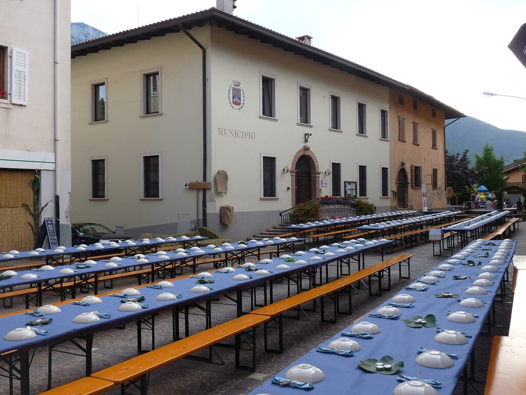
In the first half of the 20th century, the Fascist regime consolidated the four communes into a single administrative unit under a podestà, a period that lasted from 1928 to 1947. During the May 1916 Austro-Hungarian offensive, the armies placed an army command post on the plateau; three decades later, on 4 May 1945, retreating German soldiers killed seven partisans—an act commemorated by a memorial tablet at Vattaro. The modern chapter began on 7 June 2015, when residents of Bosentino, Centa San Nicolò, Vattaro and Vigolo Vattaro voted in a referendum to reunite as a single comune, restoring through democratic choice what administrative decree had once imposed.
Churches and Stone Landmarks
Chiesa di San Giorgio, Vigolo Vattaro
The parish church of Vigolo Vattaro was substantially rebuilt between 1538 and 1558, and received an additional lateral nave in 1852; apart from this 19th-century addition, it retains its Renaissance form. The most unusual feature is a paleochristian relief carved in stone, possibly older than the seventh century, showing an olive tree with birds—a motif whose religious meaning remains open to interpretation. The main altar dates to 1750 and is accompanied by a Baroque inscription and coat-of-arms honouring the Tabarelli de Fatis, lords of the nearby castle and patrons of the church. A visit requires time to study these layers: the old relief, the Renaissance proportions, the Baroque ornament.
Castello di Vigolo
Crowning a panoramic hill above Vigolo Vattaro, the Castello di Vigolo once guarded the ancient road connecting Vigolo to Bosentino. A major reconstruction in the 17th century obscured its medieval character, though one square tower survives from the original defensive wall. The surviving structure is decorated with Renaissance-era windows—bifore and monofore—that suggest both defensive and residential functions. Recently restored, the castle is a private building but visible from the road and a landmark that orients visitors to the plateau’s topography.
Santuario della Beata Maria Vergine del Feles, Bosentino
At the beginning of the 17th century, the Sanctuary of the Blessed Virgin of Feles became the site of a reported Marian apparition, drawing pilgrims to this remote location. The sanctuary marks the spiritual identity of Bosentino and remains a place of devotion within the larger commune. Its origins and the nature of the devotion it inspired belong to the lived religious memory of the valley rather than documented institutional records, yet its presence on the plateau affirms the role of sacred geography in binding these communities.
Chiesa di San Nicolò, Centa San Nicolò
The parish church of Centa San Nicolò stands as the religious centre of that frazione. The church embodies the long continuity of settlement and faith across the four villages, each maintaining its own place of worship and parochial identity even after the 2015 municipal union.
Mountain Flavours and Local Produce
The plateau sits within Trentino’s established food geography. While no single dish or product carries the name of Altopiano della Vigolana, the comune benefits from proximity to recognised regional products: Trentino apple varieties, Trentino trout, and preserved meats like Carne Salada and traditional smoked preparations characterise the local larder. Small producers maintain heritage methods for canederli (dumplings), apple-based breads and other preparations rooted in mountain agriculture and Alpine-Venetian culinary tradition.
The landscape itself—pasture interspersed with small orchards and cleared fields—supports the seasonal rhythm of dairy herding and vegetable cultivation. Farmers’ markets in nearby Trento and Levico Terme connect plateau producers to urban consumers, preserving a direct line between mountain settlement and valley commerce that echoes the Roman road’s original purpose.
Visiting the Plateau
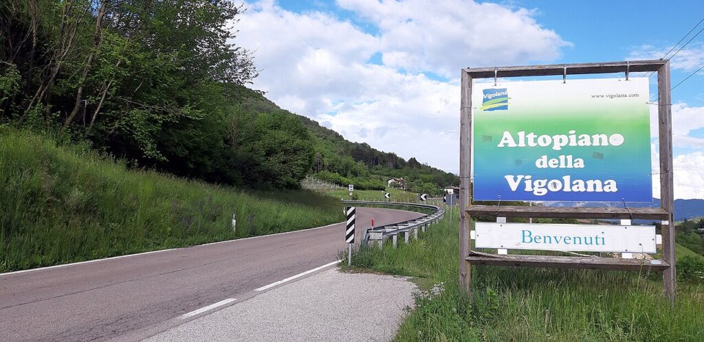
Access by car is straightforward. The comune is located a few kilometres from Trento, reachable via provincial routes that wind upward from the provincial capital and from the lakeside towns of Caldonazzo and Levico Terme. The nearest significant town with full services is Pergine Valsugana, a working centre on the valley floor. For those approaching from the west, Trento itself offers all urban amenities and lies within easy reach.
| Departure Point | Distance | Approximate Time |
|---|---|---|
| Trento (city centre) | a few km | 20 minutes by car |
| Levico Terme | 15 km | 18 minutes by car |
| Pergine Valsugana | 12 km | 15 minutes by car |
| Caldonazzo (lake) | 8 km | 10 minutes by car |
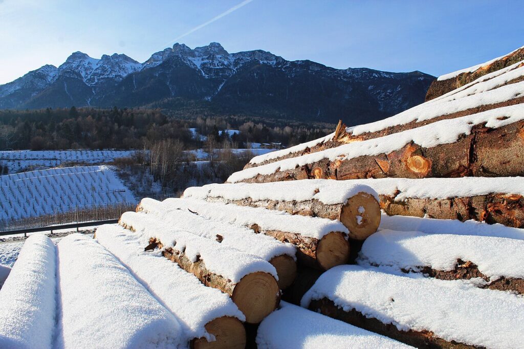
The plateau is best explored on foot or by bicycle. Walking routes connect the four frazioni and lead to viewpoints across the Valsugana and toward the Dolomite margins. Spring and early autumn offer the clearest weather and most comfortable temperatures; winter brings snow to the roads, while summer can be warm. The feast of Saint Joseph falls on 19 March and is observed as the patron celebration of the comune, anchoring the year’s religious calendar.
Visitors should plan to spend at least a full day on the plateau to see the principal churches and the castle, walk between villages and absorb the rhythm of mountain settlement. Accommodation in nearby Levico Terme or Pergine Valsugana provides comfortable bases; eating locally means seeking small family-run trattorias in the frazioni or in Pergine rather than chain restaurants. The comune’s official website offers current information on local events, routes and services.
The four frazioni—Vigolo Vattaro, Vattaro, Bosentino and Centa San Nicolò—each retain their own parish church and local identity even within the unified municipal structure, a living reminder that political reunification in 2015 did not erase centuries of distinct community memory.
Frequently asked questions about Altopiano della Vigolana
How do I reach Altopiano della Vigolana from Trento?
Altopiano della Vigolana lies only a few kilometres from Trento, the provincial capital. The plateau is accessible by car via regional roads leading northeast from Trento towards the Valsugana valley. The closest railway station is in Trento; from there, local bus services or a rental car are recommended. The journey takes approximately 20–30 minutes by car depending on your destination within the four villages.
What is the best season to visit the plateau?
Summer and early autumn are ideal for visiting Altopiano della Vigolana. During these months, mountain routes are fully accessible for walking and cycling, and the thin, clear air creates excellent visibility. Spring brings wildflowers to the Alpine landscape. Winter conditions at 725 metres elevation can be challenging. The feast of Saint Joseph (the patron saint) is celebrated on 19 March, making it a culturally significant visiting period.
Are there documented walking or cycling routes on the plateau?
Yes, Altopiano della Vigolana offers mountain routes suitable for walking enthusiasts. The plateau's strategic position along the ancient Roman corridor and its working agricultural landscape provide scenic pathways. CAI (Italian Alpine Club) trails are established in the region. Visitors should consult local tourism offices or trail maps for specific route details, difficulty levels, and seasonal accessibility before departure.
Can I visit the churches on the plateau, and are they open to the public?
The four separate villages each maintain their own parish church, making them significant religious monuments. The plateau also features paleochristian reliefs, a 17th-century apparition shrine, and a Renaissance-era chapel. Visit times vary by church. Contact local parish offices or the Trento tourism office in advance for opening hours, guided visits, and any religious ceremony schedules that may affect public access.
How long should I plan to spend visiting Altopiano della Vigolana?
A half-day visit allows time to explore one or two villages and visit their churches. A full day enables walking routes across the plateau, examining architectural details, and experiencing the agricultural landscape. Overnight stays are recommended to fully appreciate the mountain environment, sample local produce, and explore all four villages at a relaxed pace without rushing between sites.
📷 Photo Gallery — Altopiano della Vigolana
In Trentino-South Tyrol More villages to discover
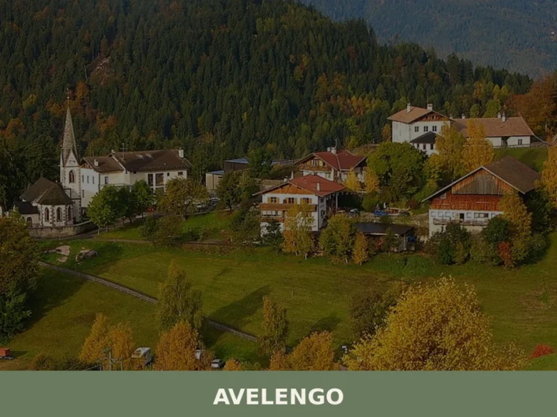
Avelengo
Population 816. A high-altitude comune in South Tyrol offering mountain access and traditional alpine settlement patterns without mass tourism infrastructure.
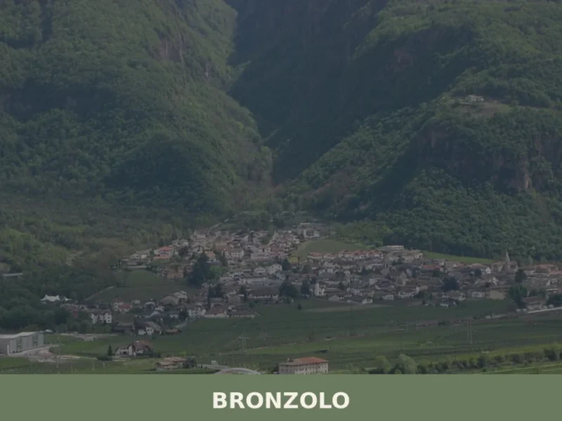
Bronzolo
Bronzolo has 2,646 inhabitants and sits at 238 metres above sea level, on the right bank of the Adige River, at the point where the Isarco Valley meets the Adige plain. The German name for the town — Branzoll — already appears in medieval documents related to the control of trade routes between the Germanic […]
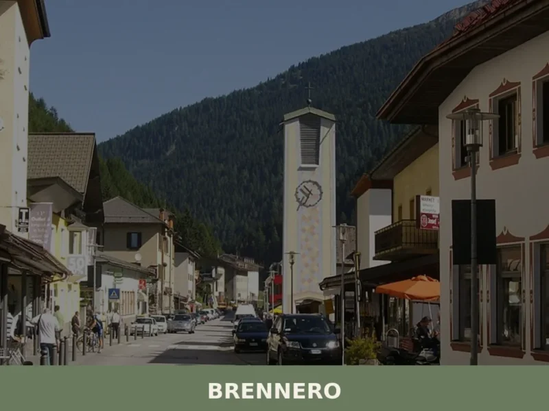
Brennero
The Brenner Pass, at 1,370 metres above sea level, is the lowest Alpine crossing between Italy and Austria, and this geographical circumstance has shaped every aspect of life in the village that bears its name. With 2,111 inhabitants spread across the hamlets of Brennero, Fleres, Ponticolo and Terme di Brennero, the municipality marks the northern […]

Renon
At 1154 m above sea level, Renon offers earth pyramids, medieval castle ruins and a narrow-gauge railway surviving from 1907.
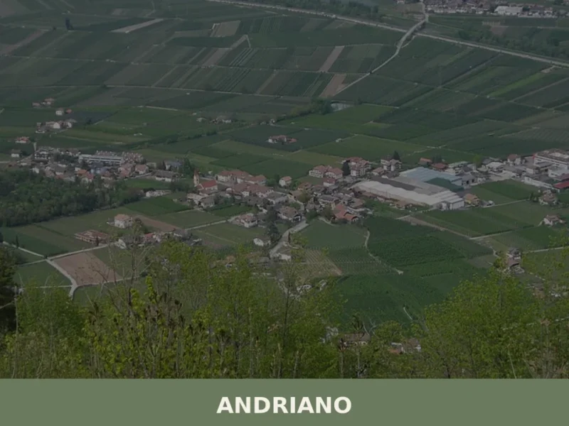
Andriano
At 274 metres above sea level, on the left bank of the Adige river, Andriano has 1,025 inhabitants spread between the historic centre and the farmsteads scattered among rows of vines. The municipality, one of the smallest in South Tyrol by area, extends entirely across flat ground along the alluvial strip connecting Bolzano to Merano. […]
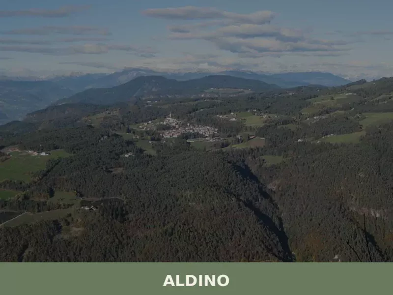
Aldino
Population 1,607. Aldino sits at 1,225 metres in Bolzano province, where Alpine architecture and seasonal rhythms shape daily life.
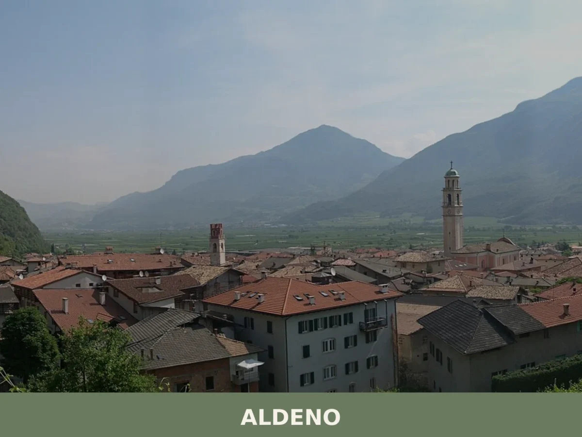
Aldeno
A 3,374-inhabitant comune on the Adige's bank, Aldeno blends prehistoric trade crossings with baroque churches and the memory of the Austro-Hungarian Great War command.
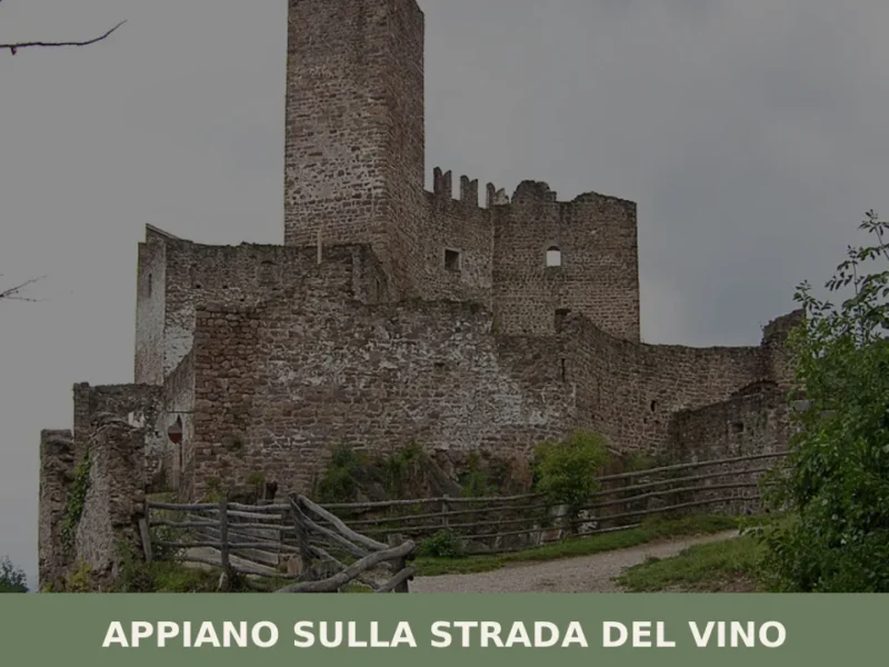
Appiano sulla strada del vino
The municipality of Appiano sulla strada del vino has 14,304 inhabitants spread across eight hamlets — San Michele, San Paolo, Cornaiano, Frangarto, Missiano, Monticolo, Gaido and Girlan (Cornaiano) — set between 200 and 500 metres above sea level on the left bank of the Adige river, in the middle of the Bassa Atesina (Lower South […]
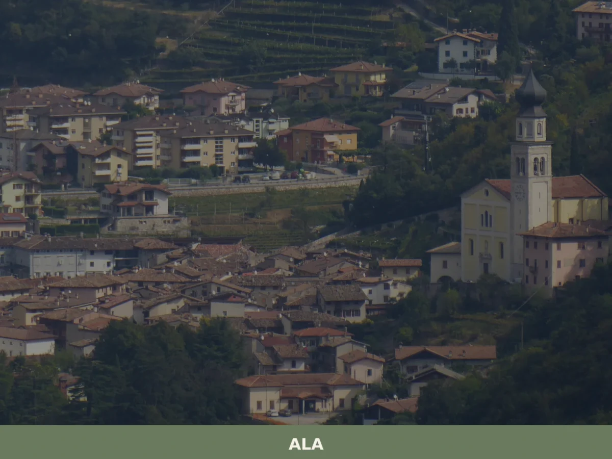
Ala
Discover what to see in Ala, Trentino: silk merchant palazzi, Habsburg border history, Vallagarina wines and the Valle dei Ronchi. Practical tips included.
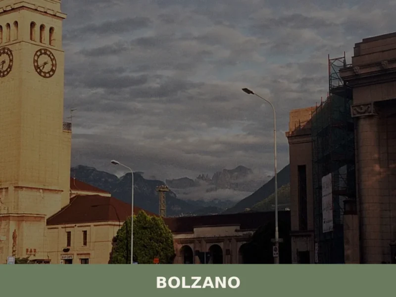
Bolzano
what to see in bolzano at 262m altitude. Discover the South Tyrol Museum of Archaeology, home to Ötzi the Iceman, and stroll along the historic Portici Street.


🏡 Know Altopiano della Vigolana better than we do?
If you’re a local or have been there, your knowledge matters: add what’s missing or fix a detail on this page.