


Brennero
The Brenner Pass, at 1,370 metres above sea level, is the lowest Alpine crossing between Italy and Austria, and this geographical circumstance has shaped every aspect of life in the village that bears its name. With 2,111 inhabitants spread across the hamlets of Brennero, Fleres, Ponticolo and Terme di Brennero, the municipality marks the northern […]
Discover Brennero
The Brenner Pass, at 1,370 metres above sea level, is the lowest Alpine crossing between Italy and Austria, and this geographical circumstance has shaped every aspect of life in the village that bears its name. With 2,111 inhabitants spread across the hamlets of Brennero, Fleres, Ponticolo and Terme di Brennero, the municipality marks the northern boundary of the Province of Bolzano. Understanding what to see in Brennero means reading a territory moulded by centuries of transit, trade and border control, where the railway and the motorway coexist with isolated farmsteads and side valleys that have remained on the margins of the major routes.
History and origins of Brennero
The place name “Brennero” — in German Brenner — most likely derives from the personal name Prennerius, recorded in medieval documents from the 13th century, referring to a landowner in the pass area. The alternative hypothesis linking it to the Celtic *brenno (height, summit) remains debated among linguists. The pass was already in use during the Roman period as a connection between the province of Raetia and Noricum, although it never achieved the strategic importance of the Great St Bernard Pass or the Septimer. The real turning point came in the Middle Ages, when the Counts of Tyrol promoted the route as the main trade road between Augsburg and Venice.
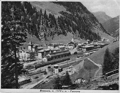
In 1867, the opening of the Brenner Railway, designed by engineer Carl von Etzel, transformed the pass from a mule track into an international rail hub. Brennero station became the exchange point between the Austrian and Italian railways after 1919, when the Treaty of Saint-Germain-en-Laye assigned South Tyrol to Italy. During the Fascist period, the regime built a complex of customs and official buildings at the pass to underscore the new border. 1997 marked another watershed: with the implementation of the Schengen agreements, border checks were abolished, and the village lost the customs function that had sustained its economy for decades.
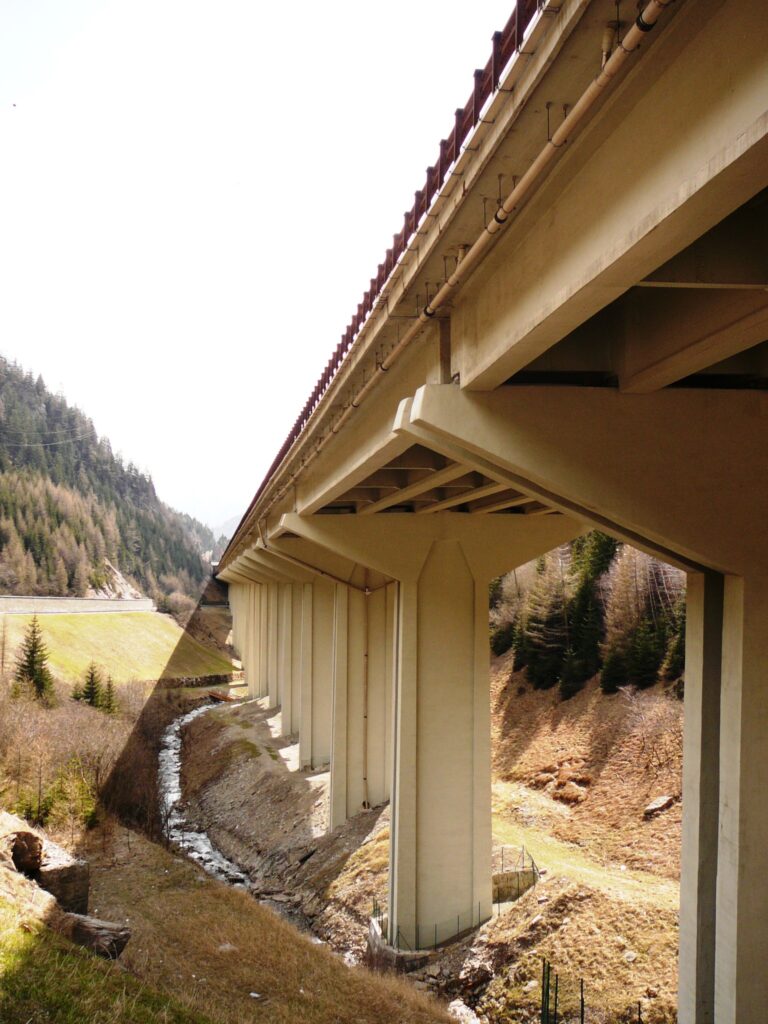
The construction of the Brenner Motorway (A22/A13), completed on the Italian side in 1974, shifted heavy traffic down to the valley floor, leaving the town centre in a paradoxical position: a crossroads on paper, peripheral in practice. Today the population, predominantly German-speaking, maintains an economy based on the service sector, small-scale mountain farming and the exploitation of thermal springs in the hamlet of Terme di Brennero.
What to see in Brennero: attractions and places worth visiting
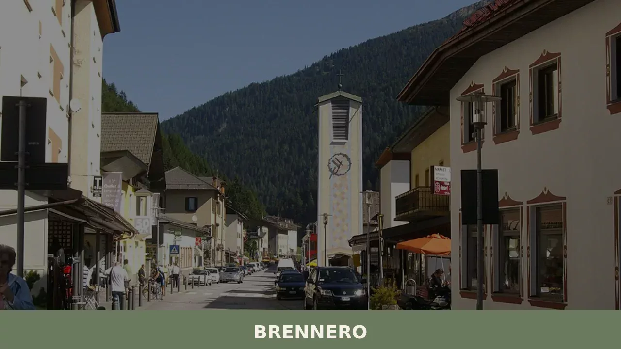
1. The international railway station
Built in its current form in the 1920s and expanded after the Second World War, Brennero station is the last Italian stop on the Brenner railway line. The wide tracks and steel platform canopies document the era when every train bound for Austria stopped here for a locomotive change and customs checks. The main building retains rationalist architectural elements from the Fascist period.
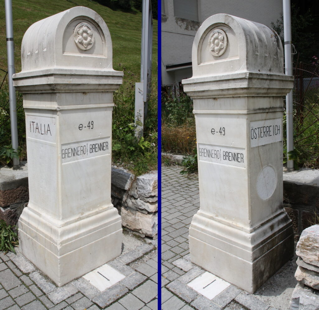
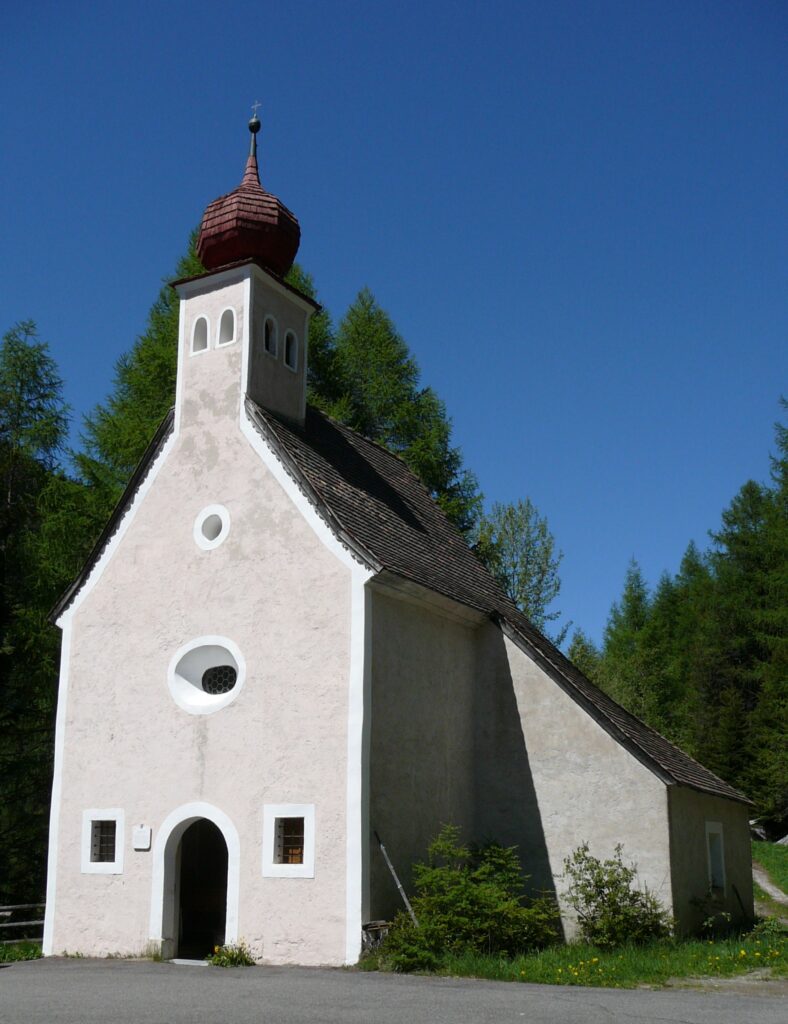
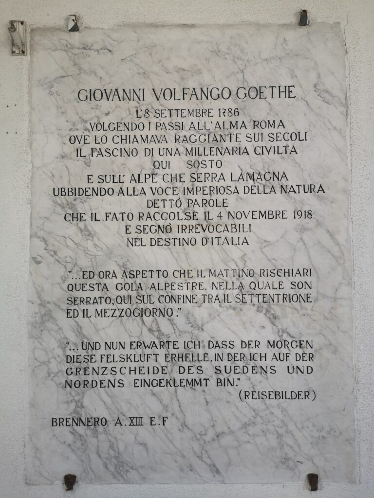
2. The Pass Chapel and the border stone
At the exact point of the pass, at 1,370 metres, a stone marker indicates the border line between Italy and Austria. Beside it stands a small votive chapel, a landmark for travellers since the 18th century. The surrounding area, now an open square, offers a direct view of the Wipp Valley to the north and the Vallis Nostra (Wipptal) to the south, allowing visitors to observe the watershed between the Inn basin and the Isarco basin.
3. The Fleres Valley (Pflerschtal)
Branching off from the main Brenner axis, the Fleres Valley extends for approximately 16 kilometres westward, enclosed by the Feuerstein glacier (3,268 m). The valley, with little urban development, preserves wooden and stone farmsteads dating to the 17th and 18th centuries. The trail leading to the Rifugio Cremona al Sasso (Tribulaunhütte), at 2,368 metres, crosses alpine pastures and a belt of larch forest that represents one of the best-preserved woodland environments in the area.
4. Terme di Brennero (Brennerbad)
The hamlet of Terme di Brennero, situated at approximately 1,320 metres, draws on thermal springs already known in the 16th century. The waters, classified as sulphurous and ferruginous, fed a spa complex that in the 19th century attracted guests from the Habsburg aristocracy. Hospitality activity has experienced varying fortunes throughout the 20th century, but the area retains several historic buildings from the Austro-Hungarian era and remains a starting point for hikes towards Brenner Lake (Brennersee).
5. Fortezza Fortress (Franzensfeste) and the historical connection
Approximately 25 kilometres south of Brennero, reachable by train in fifteen minutes, Fortezza Fortress was built between 1833 and 1838 by the Habsburg Empire to defend access to the pass. Although outside the municipal territory, it represents the logical completion of any itinerary focused on the history of the pass: today it hosts temporary exhibitions and documents the defensive system that controlled transit along the Isarco Valley.
Cuisine and local products
The cuisine of Brennero reflects the South Tyrolean tradition with influences directly linked to altitude and the agro-pastoral economy. The most common dish in local trattorias is Tirtl, a kind of fried half-moon filled with ricotta, potatoes and chives — a local variant of the better-known Schlutzkrapfen (half-moons filled with spinach and ricotta). Canederli (Knödel) are prepared either with speck — Speck Alto Adige PGI, produced according to specifications requiring a minimum ageing of twenty-two weeks — or with grey cheese (Graukäse), a lean, acid-curd dairy product made in the alpine dairies of the Wipptal. Among cheeses, the territory falls within the production area of Stelvio PDO (Stilfser), a semi-hard cheese with a washed rind. Buckwheat polenta, a legacy of cultivation at high elevations, accompanies game stews — deer and roe deer — sourced from the wildlife reserves of the side valleys.
Rye bread (Schüttelbrot) is present on every table: crisp, thin, flavoured with caraway seeds (Brotklee) and fenugreek. For desserts, apple strudel uses the Renetta variety from the Isarco Valley, while Tyrolean Krapfen — different from the Venetian version — is filled with lingonberry jam (Preiselbeeren) gathered in the woods above Fleres. Among beverages, the craft beer from nearby Vipiteno (Birra Wieser) is the most widely consumed in the local Gasthäuser. In autumn, during the Törggelen, families and trattorias serve roasted chestnuts accompanied by grape must and speck — a living tradition even in the highest hamlets of the municipality, despite the fact that grapevines do not grow at this altitude.
When to visit Brennero: the best time of year
Winter at 1,374 metres means temperatures that regularly drop below -10 °C in January, with snow cover from November to April. The small Ladurns ski area, accessible from the Fleres Valley, offers approximately 18 kilometres of runs between 1,350 and 2,100 metres, with facilities that make it suitable for those seeking calm conditions without the crowds of the large resorts. Snowshoe hikes in the Pflerschtal, towards the Rifugio Cremona, are feasible from December to March with appropriate equipment.
Summer — from mid-June to mid-September — is the most suitable period for high-altitude hikes. The European long-distance path E5, which connects Lake Constance to Verona, crosses directly over the Brenner Pass, and the local stage offers a segment accessible even to intermediate-level hikers. In August, average daytime temperatures hover around 16–18 °C, with afternoons prone to convective thunderstorms. The patron saint festival of Fleres and farmers’ markets in the hamlets are concentrated between July and September. Autumn brings the colours of the larches — intense yellow between October and early November — and the Törggelen season, which enlivens the trattorias until the end of November.
How to get to Brennero
Brennero can be reached via the A22 motorway (Brenner Motorway), Brennero/Brenner exit, the last Italian toll station before the Austrian border. From Bolzano the distance is approximately 75 kilometres (50 minutes); from Innsbruck, on the Austrian side, it is 35 kilometres (30 minutes). From Verona the journey covers approximately 230 kilometres entirely on the motorway.
The Brenner Railway connects the village to Bolzano with regional trains that take approximately one hour and ten minutes, with intermediate stops at Fortezza and Vipiteno. International trains (Eurocity) linking Munich, Innsbruck, Bolzano and Verona stop at Brennero, making the village accessible even without a car. The nearest airport is Innsbruck (40 km), followed by Bolzano (80 km, with limited air traffic) and Verona Villafranca (240 km). For those arriving from southern Germany, Munich Airport is approximately 200 kilometres away.
Other villages to discover in Trentino-Alto Adige
Travelling down the Isarco Valley southward, leaving the altitude of Brennero for lower elevations, the landscape changes markedly within just a few kilometres: larches give way to vineyards, mountain farmsteads yield to more compact settlement clusters. Barbiano, on the eastern slope of the Isarco Valley near Chiusa, occupies a sun-drenched hillside between 400 and 1,500 metres: its waterfalls — three cascades totalling nearly 85 metres — and the vertical distribution of its hamlets offer a direct contrast with the horizontal linearity of the Brenner valley floor.
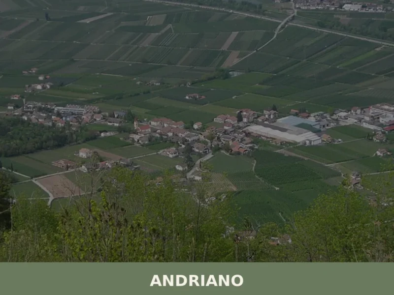
Further south still, where the valley opens towards the Bolzano basin, Andriano lies along the South Tyrolean Wine Road, at approximately 250 metres above sea level. The difference of over a thousand metres compared to Brennero translates into a microclimate that allows the cultivation of grape varieties such as Gewürztraminer and Pinot Bianco, and into an architecture where wine cellars replace hay barns. Visiting both villages on the same itinerary allows you to traverse, in less than a hundred kilometres, the entire environmental and cultural spectrum of South Tyrol, from the Alpine border to Mediterranean-influenced viticulture.
For further information on the territory and history of Brennero, you can consult the official page of the Municipality, the dedicated Wikipedia entry and the villages section of the Touring Club Italiano.
Frequently asked questions about Brennero
What is the best time to visit Brennero?
Summer (mid-June to mid-September) is ideal for hiking, with temperatures around 16–18°C and the E5 long-distance path in full use. Autumn stands out for the golden larch colours (October–early November) and the Törggelen season in local trattorias through late November. Winter (November–April) suits skiers and snowshoers heading to the Ladurns/Fleres ski area. Spring is the least recommended season due to unpredictable snowmelt conditions at 1,374 metres. Patron saint festivities and farmers' markets in the hamlets run between July and September.
What are the historical origins of Brennero?
The name Brennero likely derives from the personal name Prennerius, documented in 13th-century medieval records. The pass was used in Roman times to connect the provinces of Raetia and Noricum. Its importance grew in the Middle Ages under the Counts of Tyrol, who promoted it as the main trade route between Augsburg and Venice. The 1867 opening of the Brenner Railway transformed the pass into an international hub. After 1919, with South Tyrol assigned to Italy by the Treaty of Saint-Germain-en-Laye, Brennero became an official state border. Schengen agreements in 1997 abolished border checks, reshaping the village's economy.
What to see in Brennero? Main monuments and landmarks
Key sites include the international railway station, whose 1920s rationalist architecture recalls the border-control era; the border stone and votive chapel at the exact pass summit (1,370 m), marking the Italy–Austria divide; and the historic spa buildings at Terme di Brennero (1,320 m), dating from the Austro-Hungarian period. The Fleres Valley (Pflerschtal) preserves 17th–18th-century stone and wooden farmsteads. About 25 km south, reachable by train in 15 minutes, Fortezza Fortress (1833–1838) documents the Habsburg defensive system controlling access to the pass.
What are the main natural or scenic attractions of Brennero?
The Fleres Valley (Pflerschtal) extends 16 km westward beneath the Feuerstein glacier (3,268 m), offering well-preserved larch forests and alpine pastures. The trail to Rifugio Cremona al Sasso (Tribulaunhütte) at 2,368 m crosses one of the area's most intact woodland environments. Brenner Lake (Brennersee), reachable on foot from Terme di Brennero, provides a quiet natural destination. The European long-distance path E5, connecting Lake Constance to Verona, crosses the Brenner Pass itself, with a stage accessible to intermediate-level hikers during summer.
Where to take the best photos in Brennero?
The border stone and chapel at the pass summit (1,370 m) offer a unique dual-valley panorama: the Wipp Valley to the north and the Isarco basin to the south, framed by the watershed divide. In autumn, the larch forests of the Fleres Valley turn intense yellow (October–early November), providing outstanding landscape photography conditions. The steel platform canopies of Brennero's international railway station make a striking industrial-heritage subject, particularly in low winter light.
Are there museums, churches or historic buildings to visit in Brennero?
Brennero's built heritage is centred on its border and transit history rather than religious monuments. The international railway station retains original rationalist Fascist-era architecture worth examining up close. The customs and official buildings at the pass, constructed during the Fascist period, document the political significance of the border. At Terme di Brennero, several Austro-Hungarian-era spa buildings survive. For a dedicated museum experience, Fortezza Fortress, 25 km south and 15 minutes by train, hosts temporary exhibitions inside a major Habsburg military complex built between 1833 and 1838.
What can you do in Brennero? Activities and experiences
In summer, hiking the E5 long-distance path across the pass and trekking to Rifugio Cremona al Sasso (2,368 m) through the Fleres Valley are the main activities. Winter offers skiing and snowboarding at Ladurns (18 km of runs, 1,350–2,100 m) and snowshoe hikes in the Pflerschtal from December to March. Thermal bathing at Terme di Brennero uses historic sulphurous and ferruginous springs. In autumn, Törggelen evenings in local trattorias feature roasted chestnuts, grape must and speck. Train-based excursions to Fortezza Fortress complement any itinerary focused on Alpine border history.
Who is Brennero suitable for? Families, couples, hikers, solo travelers?
Brennero suits hikers and outdoor enthusiasts best: the Fleres Valley and E5 path offer routes for various skill levels, while Ladurns is a calm, crowd-free ski option ideal for families with children. History and architecture lovers will find the border-era railway station, pass chapel and Austro-Hungarian spa buildings rewarding. Wellness seekers can combine thermal bathing at Terme di Brennero with nature walks. The village is less suited to those expecting lively nightlife or large resort amenities; it rewards visitors looking for authentic, quiet mountain immersion with genuine South Tyrolean food culture.
What to eat in Brennero? Local products and specialties
Local trattorias serve Tirtl, a fried half-moon pasta filled with ricotta, potatoes and chives — a Wipptal variant of Schlutzkrapfen. Canederli (Knödel) are prepared with Speck Alto Adige PGI (minimum 22 weeks' ageing) or Graukäse, a lean acid-curd grey cheese from valley dairies. Stelvio PDO semi-hard cheese is also produced in the area. Buckwheat polenta accompanies game stews from local wildlife reserves. Schüttelbrot rye crispbread with caraway seeds is a constant table presence. Desserts include apple strudel with Renetta apples and Tyrolean Krapfen filled with lingonberry jam from Fleres woodlands.
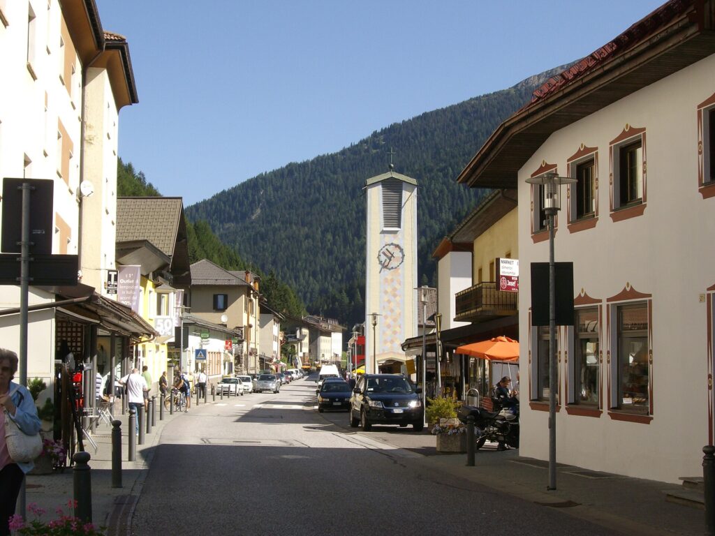
📷 Photo Gallery — Brennero
Nearby Villages near Brennero
In Trentino-South Tyrol More villages to discover
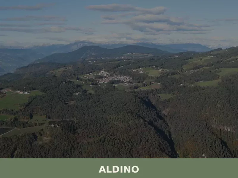
Aldino
Population 1,607. Aldino sits at 1,225 metres in Bolzano province, where Alpine architecture and seasonal rhythms shape daily life.
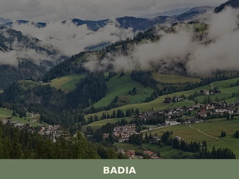
Badia
Badia has 3,396 inhabitants spread across six hamlets — San Leonardo, Pedraces, La Villa, San Cassiano, La Val and Antermoia — and occupies a stretch of the Val Badia where Ladin is the mother tongue for over ninety per cent of the population. Understanding what to see in Badia means entering a Dolomite valley where […]
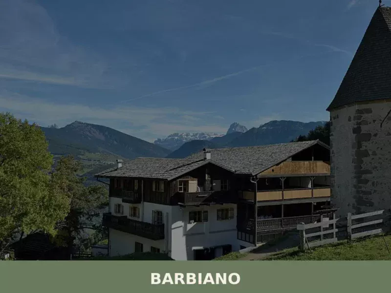
Barbiano
Barbiano covers 25.26 square kilometres on the right-hand slope of the Isarco Valley, spread across five hamlets — Barbiano village, Colma, San Giacomo, Saubach and Dreikirchen — each with its own architectural identity and historical function. Understanding what to see in Barbiano means crossing a territory that rises from 471 metres on the valley floor […]
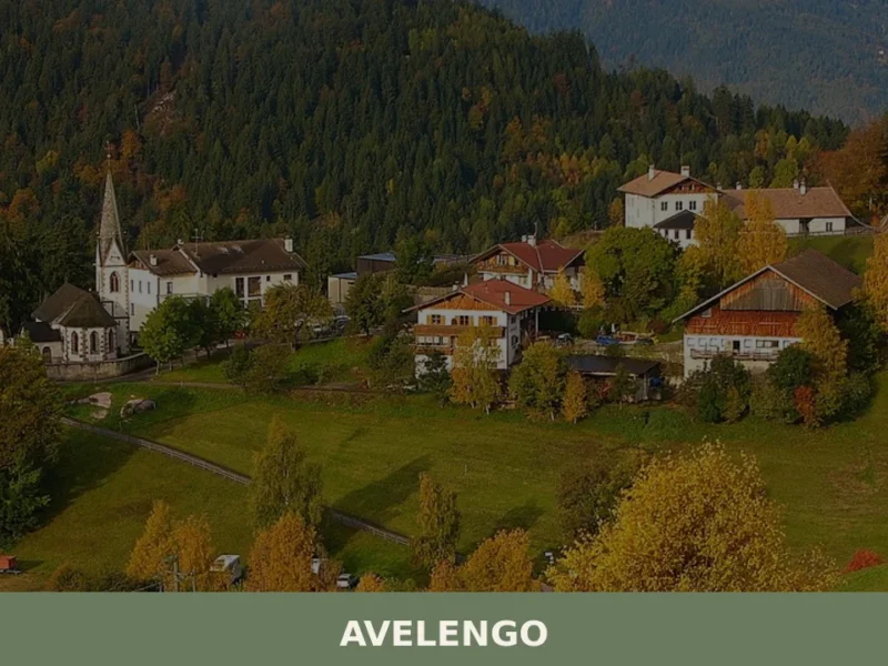
Avelengo
Population 816. A high-altitude comune in South Tyrol offering mountain access and traditional alpine settlement patterns without mass tourism infrastructure.
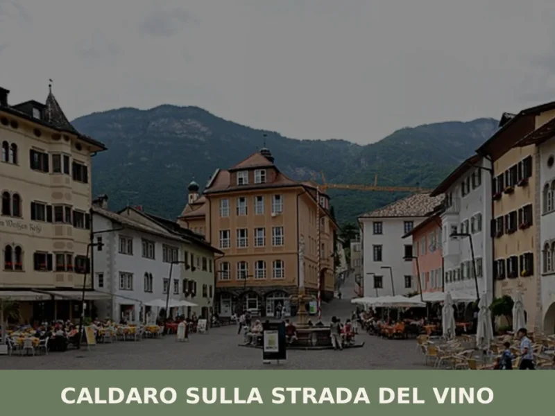
Caldaro sulla strada del vino
Caldaro sulla strada del vino — Kaltern an der Weinstraße in German — has 7,735 inhabitants and over 600 hectares of vineyards, the largest cultivated wine-growing area in South Tyrol. The place name itself declares the vocation of this centre in the province of Bolzano, which grew along the trade route linking the Bassa Atesina […]
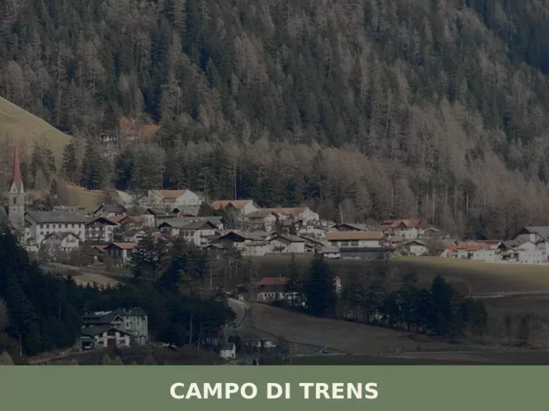
Campo di Trens
At 937 metres above sea level, along the Isarco valley between Vipiteno and Fortezza, the municipality of Campo di Trens has 2,679 inhabitants spread across the hamlets of Trens, Stilves and Mules. Anyone looking into what to see in Campo di Trens will find an area where the German language predominates — the official German […]

Renon
At 1154 m above sea level, Renon offers earth pyramids, medieval castle ruins and a narrow-gauge railway surviving from 1907.
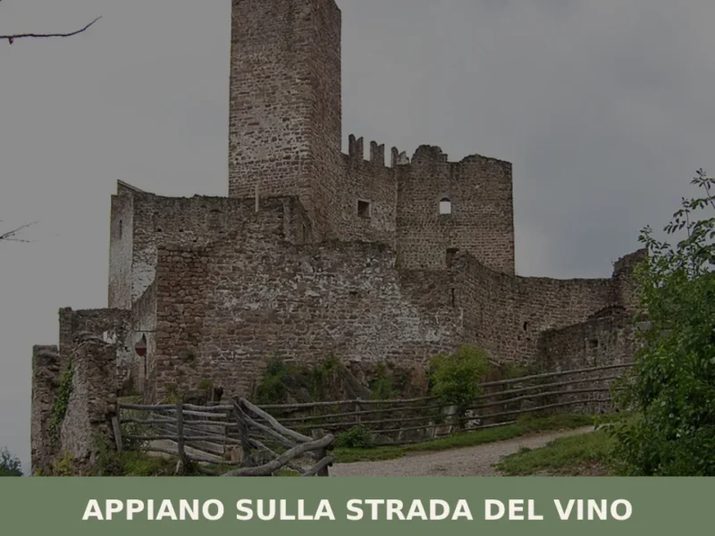
Appiano sulla strada del vino
The municipality of Appiano sulla strada del vino has 14,304 inhabitants spread across eight hamlets — San Michele, San Paolo, Cornaiano, Frangarto, Missiano, Monticolo, Gaido and Girlan (Cornaiano) — set between 200 and 500 metres above sea level on the left bank of the Adige river, in the middle of the Bassa Atesina (Lower South […]

Castelrotto
7,000 residents, three languages and one of the Alps' highest-altitude market towns. Castelrotto offers medieval architecture, Ladin heritage and alpine pastures.
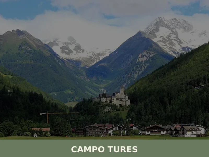
Campo Tures
Tures Castle, first documented in 1136, dominates Campo Tures from a rocky spur at the entrance to the Tures Valley, a side valley of the Aurina Valley. The village has 5,321 inhabitants, spread across an elevation of 864 metres, in a basin where the Aurino torrent slows before continuing south. Understanding what to see in […]


🏡 Know Brennero better than we do?
If you’re a local or have been there, your knowledge matters: add what’s missing or fix a detail on this page.