


Atella
Discover what to see in Atella, a 3,574-inhabitant comune in Potenza province. History, food, travel tips and the best of the Vulture-Melfese area.
Discover Atella
Atella is a comune of 3,574 inhabitants in the province of Potenza, sitting in the interior of Basilicata at an elevation that places it firmly within the Apennine hinterland of southern Italy. Known locally by the Lucanian dialect name Ratèddə or Ratéddə, the village carries a distinct identity rooted in its medieval fabric and the agricultural rhythms of the Vulture-Melfese area. For anyone asking what to see in Atella, the answer begins not with monuments alone, but with the spatial logic of a settlement that has organised itself around defense, faith, and land for well over a thousand years.
History of Atella
Atella’s origins are connected to the broader Norman reorganisation of southern Italy in the eleventh and twelfth centuries.
The Normans, who systematically consolidated territory across the Mezzogiorno after their conquest of the region beginning around 1059, established or reinforced a number of fortified settlements in the Basilicata interior, and Atella falls within this pattern of feudal consolidation. Its position in the Vulture area — historically one of the more strategically contested zones of southern Italy — meant it passed through successive feudal hands during the medieval period, subject to the administrative structures imposed first by Norman lords, then Swabian, Angevin, and Aragonese rule in sequence.
The village is documented within the administrative records of the Kingdom of Naples, which governed the entire Mezzogiorno from the thirteenth century onward. Under this kingdom, communities like Atella were subject to the università system — the medieval form of local civic administration — and were taxed, enumerated, and regulated through the feudal apparatus. The Vulture-Melfese zone, to which Atella belongs geographically, was also shaped by the presence of the nearby Abbey of the Holy Trinity at Venosa, one of the most powerful ecclesiastical institutions in Norman southern Italy, which exercised cultural and religious influence across the surrounding territory.
In more recent administrative history, Atella became part of the unified Italian state in 1861 following the Risorgimento, integrated into the province of Potenza, which remains its provincial capital today.
The twentieth century brought significant demographic change to Atella, as it did to much of inland Basilicata: emigration waves in the postwar decades reduced populations across the region, redirecting rural communities toward industrial northern Italy, Germany, and the Americas. This pattern of outmigration is central to understanding the current scale and pace of life in a comune of just over 3,500 people, and it explains much of the preserved built fabric that survives largely unaltered across the village centre.
What to see in Atella: 5 must-visit attractions
The Historic Village Centre
The centro storico of Atella follows the typical layout of a medieval Lucanian settlement: streets organised around a central elevation, with stone buildings that reflect vernacular construction techniques using local materials. The narrow lanes and connected courtyard structures reveal a settlement logic designed around collective defense and efficient land use, characteristics shared across the Potenza provincial interior.
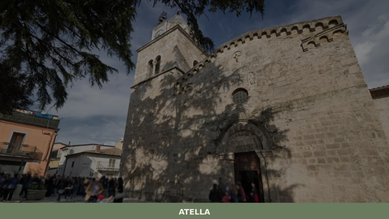
The Parish Church
Like most comuni in Basilicata, Atella’s civic and spiritual life has historically converged on its main parish church.
The structure, rebuilt or modified across the post-medieval centuries as was common following the seismic events that repeatedly struck the region, represents the layered religious architecture typical of the Lucanian interior — where Baroque additions frequently overlay earlier Romanesque or Gothic cores.
The Surrounding Agricultural Landscape
The territory of Atella includes cultivated land characteristic of the Vulture-Melfese zone, where cereal farming, olive groves, and vineyards define the landscape.
The Vulture area produces the Aglianico del Vulture DOC wine, and the agricultural terracing and rural road network around the village are themselves part of the readable history of this landscape.
The Dialect Culture and Oral Heritage
The Lucanian dialect name Ratèddə is not merely a curiosity — it encodes a pre-Italian linguistic stratum that connects Atella to the broader linguistic mosaic of Basilicata, where Greek, Lombard, Norman French, and Arabic influences left traces across vocabulary and phonology. Local dialect remains in active use among older residents and represents a documentable intangible heritage.
The Views Toward the Vulture Massif
From the elevated sections of Atella’s territory, the volcanic mass of Monte Vulture — an extinct volcano reaching 1,326 metres — is visible to the north. The twin crater lakes of Monticchio sit within the Vulture massif, and the visual relationship between Atella’s settlement and this distinctive geological landmark gives the village a precise geographical orientation that distinguishes it from the generic Apennine interior.
Local food and typical products
The food culture of Atella belongs to the broader culinary tradition of the Potenza province, where cucina povera principles — making full use of legumes, preserved meats, wild vegetables, and durum wheat pasta — have produced a repertoire of dishes that are both nutritionally dense and historically readable.
Lagane e ceci (broad pasta ribbons with chickpeas), peperone crusco (the crispy dried sweet pepper that is perhaps the single most emblematic ingredient of Lucanian cooking, now recognised with IGP status), and pork-based preserved meats including soppressata and lucanica sausage are all standard presences on local tables. The territory also falls within the production zone of Aglianico del Vulture, a red wine with DOC classification produced from Aglianico grapes grown on the volcanic soils of the Vulture area — one of southern Italy’s most geologically distinctive wine terroirs. For more on regional food and wine, the official Basilicata tourism portal provides orientation toward local producers and itineraries across the province.
Dining options in a comune of Atella’s size are necessarily limited in number, and the local offer tends toward family-run trattorias and agriturismo establishments in the surrounding countryside rather than destination restaurants. These settings, however, are frequently where the most coherent versions of the local food tradition survive — where the peperone crusco is fried in local olive oil and served with fried egg or dried salt cod (baccalà), and where pasta is still made by hand. Markets and local farms also offer direct access to preserved products, olive oil, and seasonal produce that form the backbone of Lucanian domestic cooking.
Best time to visit Atella
The interior of Basilicata experiences a continental-influenced Mediterranean climate, with cold winters that can bring snow to the higher elevations and hot, dry summers.
For Atella, positioned in the Apennine interior at moderate altitude, the most practical visiting windows are late spring (May–June) and early autumn (September–October). During these months, temperatures are moderate, the agricultural landscape is at its most visually legible — wheat before harvest, vineyards in full leaf or moving toward vintage — and the village’s daily rhythms are easier to observe without the discomfort of summer heat or the logistical complications of winter road conditions. The Province of Potenza maintains information on local events and administrative services across the territory.
Religious feast days and the calendar of patron saint celebrations provide the most concentrated moments of local communal life in villages of this type, and Atella is no exception to the pattern of Lucanian civic-religious festivals that punctuate the summer and autumn calendar.
Visitors with an interest in the living social fabric of a southern Italian comune will find these events — characterised by brass band processions, outdoor meals, and the specific visual grammar of Italian Catholic festivity — more instructive than any monument viewed in isolation.
How to get to Atella
Atella is located in the province of Potenza in inland Basilicata. The most practical approach for most visitors is by car, as public transport connections to small Lucanian comuni are limited. The key reference points for reaching Atella are as follows:
- From Potenza (the regional and provincial capital): approximately 45–55 km by road, travelling north toward the Vulture area via the SS93 or connected provincial roads. Travel time by car is roughly one hour depending on route.
- From Melfi: Melfi, the main urban centre of the Vulture-Melfese zone, is the closest significant town and sits within approximately 15–20 km of Atella, making it a practical base or stopping point.
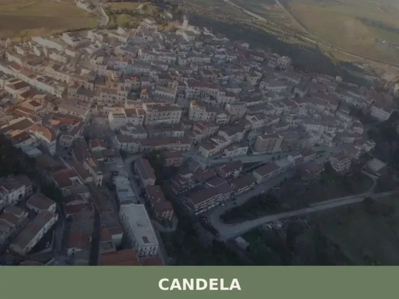
- Motorway access: The A16 Napoli–Canosa motorway passes through the broader region; the Candela exit (on the A16) or the Foggia–Potenza SS655 provide approach routes from the east. From the west, the A3 Salerno–Reggio Calabria with connection via Potenza is the standard route.
- Nearest railway station: Melfi has a railway station on the Foggia–Potenza line, though service frequency is limited. From Melfi, Atella is reachable by road in under 30 minutes.
- Nearest airports: Naples Capodichino (approximately 160–180 km) and Bari Karol Wojtyła (approximately 130–150 km) are the two practical international gateways. Car hire at either airport is strongly recommended for independent travel into the Lucanian interior.
Where to stay in Atella
Accommodation in Atella itself is limited, as is typical for a comune of its population size in the Basilicata interior. The most realistic options for visitors are agriturismo establishments in the surrounding countryside — farmstay operations that combine accommodation with access to local food production — and smaller B&B or guesthouse-style lodging within or immediately adjacent to the village. These forms of accommodation are generally the most contextually appropriate for understanding a place like Atella, connecting visitors directly to the agricultural territory and the domestic scale of rural Lucanian life.
Booking in advance is advisable, particularly during the summer festival period and the autumn harvest season when agriturismo capacity fills quickly.
Melfi, approximately 15–20 km away, offers a broader range of hotels and is a practical base for exploring the Vulture-Melfese area, including Atella, as a day visit or short excursion. The Municipality of Atella can provide current information on local services and accommodation contacts. For visitors planning a wider circuit of the region, Potenza — the provincial capital — offers the most complete range of accommodation infrastructure in the province.
More villages to discover in Basilicata
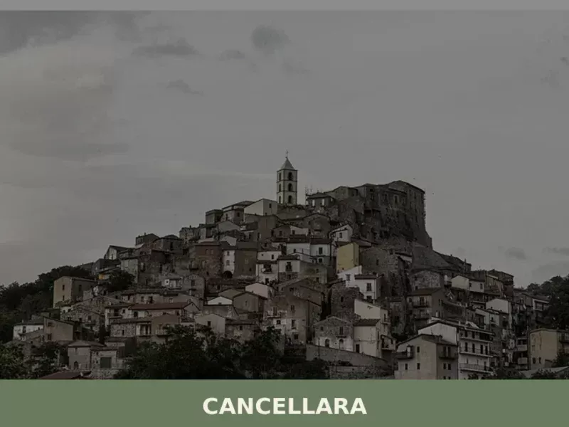
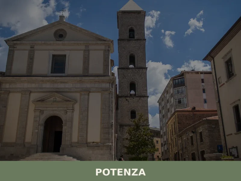
Basilicata is a region where the distances between villages are as instructive as the villages themselves. From Atella, the broader province of Potenza offers several worthwhile destinations. The provincial capital, Potenza, sitting at over 800 metres above sea level, is one of the highest regional capitals in Italy and provides a useful urban counterpoint to the rural comuni of the interior.
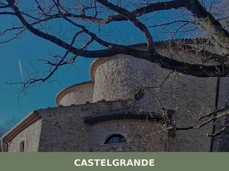
To the south, Castelgrande represents the type of fortified hill settlement that defined the medieval organisation of the Lucanian interior, its castle structure and street plan reflecting the same feudal logic that shaped Atella’s own development.
Further afield, Basilicata rewards travel in both directions from Potenza. Matera, in the province of Matera to the east, is the region’s internationally recognised landmark — the Sassi cave dwellings carved into the ravine walls represent a form of human settlement with direct continuity from the Paleolithic, and the city’s designation as a European Capital of Culture in 2019 brought significant international attention to Basilicata as a whole.
In a different register, the village of Cersosimo, in the far south of the region near the Pollino massif, illustrates the extraordinary linguistic and cultural diversity of Basilicata — a territory where Albanian-speaking (Arbëreshë) communities preserved a distinct cultural identity across five centuries of settlement.
📷 Photo Gallery — Atella
Getting there
Piazza Giacomo Matteotti, 85020 Atella (PZ)
Nearby Villages near Atella
In Basilicata More villages to discover

Forenza
Discover Forenza, a hilltop village in Potenza province at 800m, with historic churches, Apennine panoramas, and authentic Lucanian cuisine.
Baragiano
What to see in Baragiano, Italy: a village at 625 m altitude with 2,485 inhabitants. Discover top attractions, local food, festivals and how to get there.
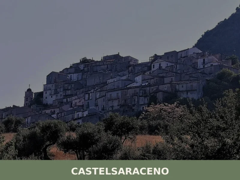
Castelsaraceno
What to see in Castelsaraceno, Italy? Explore this mountain village at 916 m (3,005 ft) altitude. Discover the 586 m (1,923 ft) Tibetan Bridge and its historic core. Read our guide.

Colobraro
What to see in Colobraro, Italy: explore the village at 630 m altitude known as 'that village'. Discover its curse legend, Sinni valley views & local food. Read the guide.
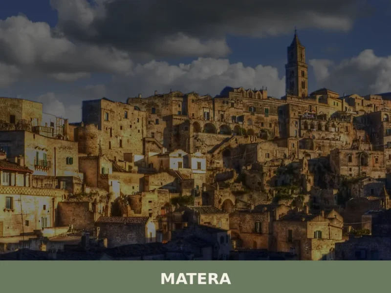
Matera
What to see in Matera, Italy: explore the UNESCO Sassi cave districts, a 52 m cathedral, and rupestrian churches. City of 60,009 in Basilicata. Discover how to get there.
Calvera
At 630 meters above sea level, in the heart of the province of Potenza, lies Calvera, a small Lucanian municipality distinguished by its elevated position and authentic atmosphere. The village, with its stone houses clinging to the hillside, offers panoramic views of the surrounding valley, bearing witness to a history of mountain life and a […]
Chiaromonte
what to see in chiaromonte, Italy: Discover its 794m altitude and delve into its history, from ancient roots to the case study of Montegrano. Explore Basilicata.

Craco
What to see in Craco, Italy: explore the abandoned town at 400 m (1,312 ft), its medieval tower, film locations, and Basilicata's landscape. Discover it all here.

Lauria
Three river valleys, a Norman castle and the snow-capped Sirino massif give Lauria a territorial identity unlike any other town in southern Basilicata.

Gallicchio
Discover Gallicchio, a hilltop village in Potenza province with a medieval castle, historic streets, and stunning views over the Val d'Agri valley.


🏡 Know Atella better than we do?
If you’re a local or have been there, your knowledge matters: add what’s missing or fix a detail on this page.