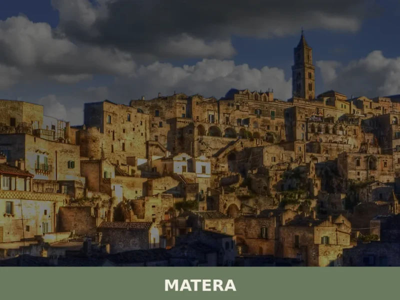
Stone walls rising from a meadow floor, where autumn mist settles between chestnut and beech trees. The village emerges without fanfare—a tight cluster of pale limestone buildings arranged on a slope, roofs of fired clay, small windows catching morning light. This is the landscape of Basilicata’s southern interior, where altitude and silence are the dominant features.
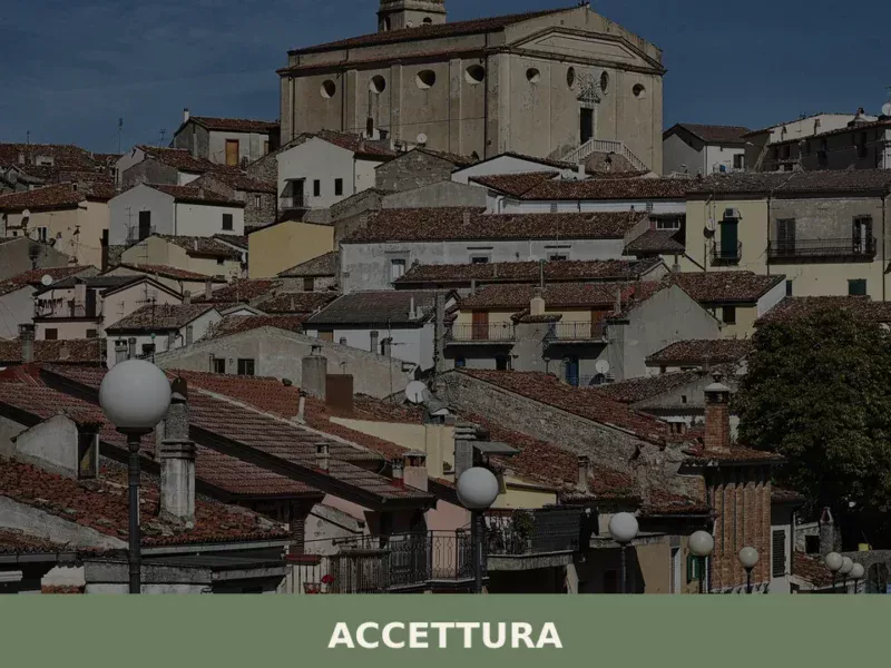
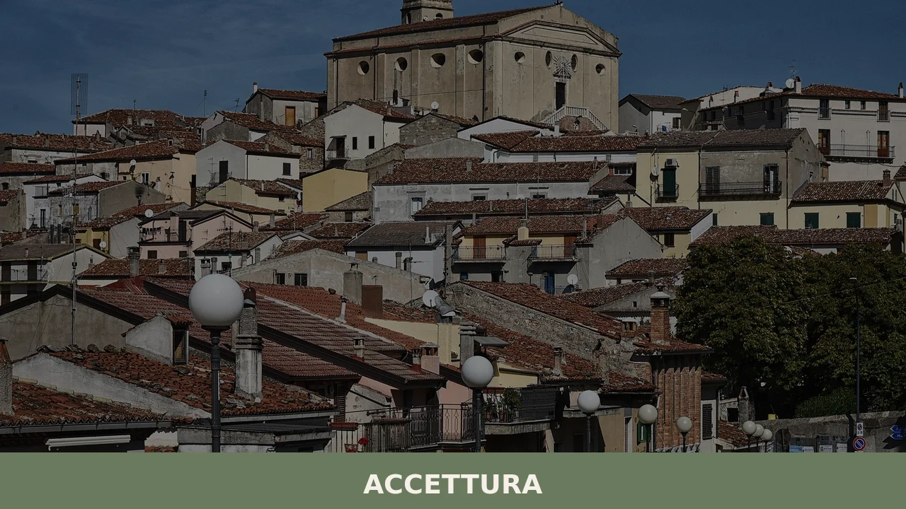
Accettura is a comune of 1,575 people in the province of Matera, Basilicata, sitting at 770 metres above sea level. The village serves as headquarters for the Gallipoli Cognato Piccole Dolomiti Lucane regional park, a distinction that shapes both its identity and its territorial role among the rural comuni of the province.
Identity and Territory
The name itself—Accettura, or Accəttürə in the local dialect—carries the weight of centuries of mountain settlement. To live here is to inhabit a landscape of vertical relationships: the village above, the forest below, and beyond that, the neighbouring municipalities of the Materano plateau. Stone construction dominates; the older core of the settlement follows no grand plan but rather adapts to the slope, with narrow lanes and small piazzas emerging where the terrain allowed.
Accettura’s role as park headquarters links it directly to the conservation and interpretation of the Gallipoli Cognato massif, a formation of distinctive rocky ridges and dense woodland that defines this corner of Basilicata. The comune functions simultaneously as a living settlement and as a gateway to wider territorial experience—a dual identity common to mountain villages that serve both residents and visitors exploring larger protected areas.
The Lucane Dolomites are not Alps transplanted south, but limestone formations shaped by millennia of weathering, creating towers, ravines and unexpected vistas where stone and forest meet.
The Regional Park and Mountain Landscape
The Gallipoli Cognato Piccole Dolomiti Lucane regional park is administered from Accettura, making the village a practical and administrative centre for a much larger territory. The park encompasses dramatic stone formations, beech and chestnut forest, and a network of trails that draw hikers and nature observers through seasons of changing light and vegetation. The presence of the park shapes the calendar and character of the village: spring brings fresh growth, summer offers shade beneath tall timber, autumn fills the air with colour and the scent of leaf litter, and winter occasionally brings snow that clings to the stone and transforms the landscape into a quieter version of itself.
The relationship between village and park is inseparable. Accettura offers basic services—accommodation, food, fuel—to those entering or leaving the protected area. The park, in turn, defines the visual and ecological context in which the village exists. This symbiosis is typical of mountain comuni in regions where agriculture alone can no longer sustain population; conservation and controlled access become part of the economic and cultural equation.
Stone and Sacred Geography
San Giuliano is the patron saint of Accettura, a figure whose feast day and local veneration anchor the village to broader patterns of religious life in Basilicata. The presence of a patron saint and its associated feast establishes a calendar rhythm and a point of collective identity that transcends economics or administration. Religious festivals, whether solemn or celebratory, remain moments when scattered families return and the village reasserts itself as a centre of belonging.
The church dedicated to the patron stands as the oldest communal structure in most mountain villages of this region. Its placement in or near the historic core reflects centuries of settlement hierarchy: first the sacred, then the residential, then the economic spaces. Visiting such places without pre-arranged access is not always possible, but inquiries at the municipal office or with local residents often yield unexpected opens and conversations.
Agricultural and Forest Context
The altitude and geology of Accettura support woodland rather than grain cultivation. Chestnut and beech timber have long been harvested here, and the forests remain economically and ecologically significant. Fruit and nut crops adapted to cool mountain conditions may be grown on smaller plots near settlement, but the dominant land use is forest—managed in some areas, regenerating naturally in others.
This forest economy has shaped the material culture of the region. Tools, building techniques, and food preservation methods all reflect adaptation to a wooded mountain environment where timber is abundant and growing seasons are shorter than in the lowlands. Contemporary residents and visitors often encounter these patterns in the form of rural structures, open-air markets selling local produce, and informal paths through private land that follow generations-old routes through the woods.
Neighboring Villages and Territorial Ties
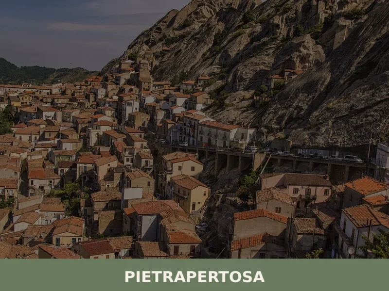
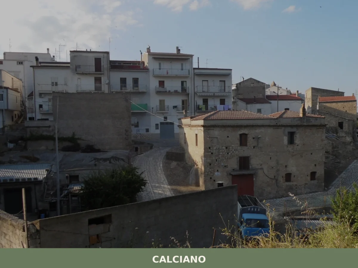
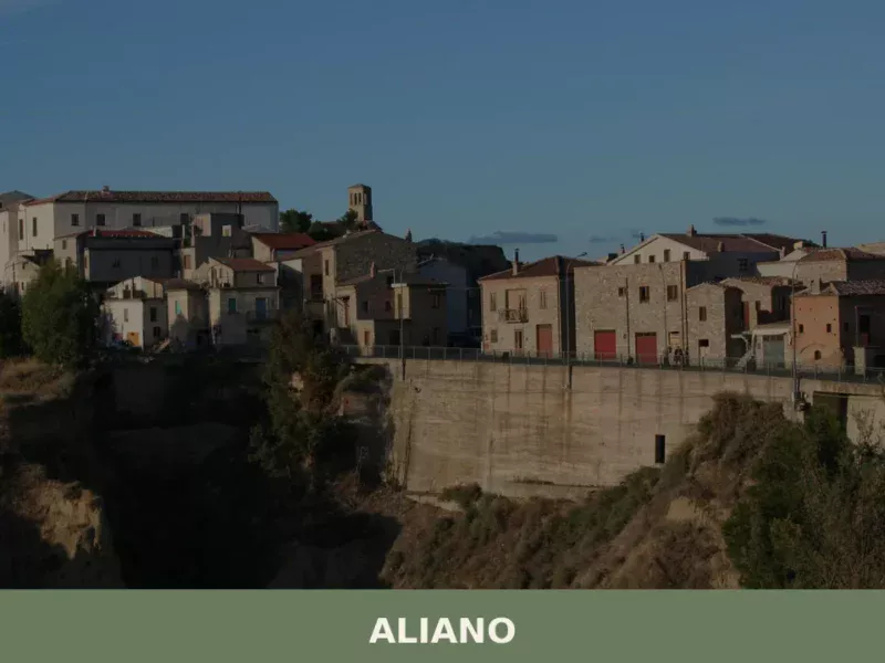
Accettura sits within a network of small comuni across Matera province. Nearby municipalities include Garaguso, Cirigliano, Calciano, and several others scattered across the Materano landscape. Each village maintains its own administrative identity and local traditions while sharing the broader geography, climate, and economic patterns of the region. Movement between these villages is possible by car or, for the fit and curious, on foot through mountain tracks that follow ancient herding and trading routes.
The province of Matera itself extends south toward the dramatic ravines and clifftop settlements of the Murgia plateau, and east toward the even higher Basilicatan interior. Accettura occupies a middle ground—high enough to experience mountain weather and vegetation, low enough to remain connected by reasonable roads to provincial towns and regional services. This intermediate position has kept it from becoming either a completely isolated hamlet or a dormitory for commuters to larger cities.
Visiting Accettura
Accettura is best approached by car. The village sits on a secondary road network rather than along major motorway routes, which has protected it from rapid development but also means that careful navigation or local guidance improves the arrival experience. Visitors should expect narrow lanes in the old core, limited parking near the centre, and very few street signs. Arriving early in the day or mid-week reduces congestion and allows time to observe the village rhythm without the pressure of timetables.
| Departure Point | Distance (approximate) | Drive Time |
|---|---|---|
| Matera (provincial capital) | 50 km | 1 hour |
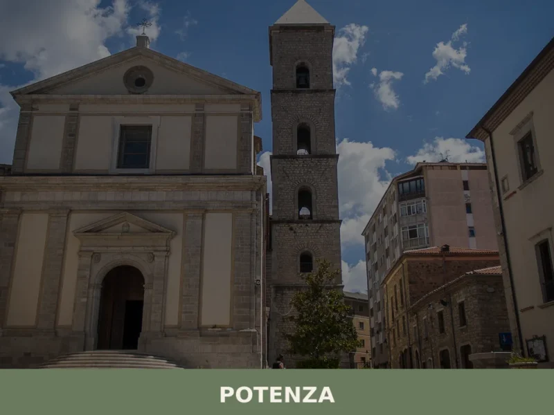
| Potenza (regional capital) | 90 km | 1.5 hours |
| Salandra (nearby comune) | 15 km | 20 minutes |
The best season for visiting is spring (April–May) or autumn (September–October). Both offer mild temperatures, clear light, and manageable forest conditions. Summer can be warm but rarely oppressive at this altitude; winter brings reduced daylight and occasional snow. Accommodation is modest—small guesthouses and agriturismos rather than resort hotels. Food and fuel are available, though fewer shops operate on Sundays. The municipal website (https://www.comune.accettura.mt.it/) provides contact details for local services and park administration.
For those interested in the regional park, trails and access points should be confirmed locally before setting out, as conditions and signage vary. The park office in or near the village can provide maps and advice on itineraries suited to different abilities and seasons. Walking shoes with good grip are advisable, and water should be carried; facilities in the forest are absent, and the landscape can look deceptively simple until one is some distance from the village.