


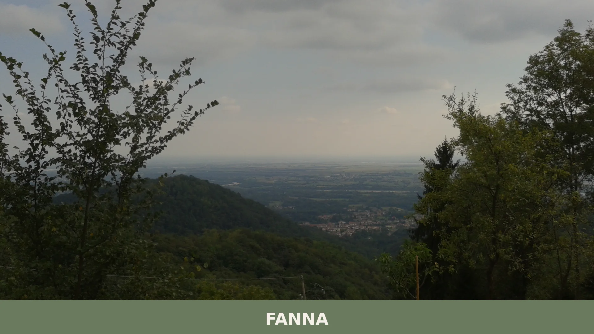

Around 1,464 residents live in Fanna, a Friulian village where medieval castle ruins, a pilgrimage sanctuary and a living tradition of ancient apple varieties reward curious visitors.
Fanna: A Friulian Village Between Prealps and Ancient Orchards
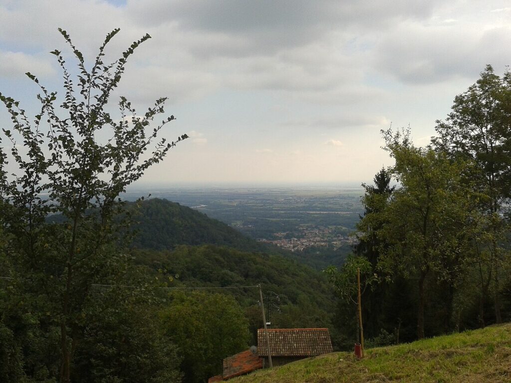
At 274 metres above the Friulian plain, where the Manarin and Mizza streams converge before reaching the Colvera torrent, Fanna occupies a fold of territory that belongs to both the lowland and the Carnian Prealps. The village centre sits on an internal hill zone, and the three ridges to the north mark its boundary with Frisanco. Stone, water and orchard define the local texture — not a single dominant feature but a quiet layering of elements that visitors notice only after spending some time on foot.
Fanna village in Friuli-Venezia Giulia draws two kinds of traveller: those following the religious routes of the Pordenone area, drawn by the sanctuary of the Madonna di Strada, and those curious about the living Friulian language tradition and the village’s unexpected identity as a place where heritage apple varieties have been kept in cultivation. Both threads run deeper than they first appear.
A Village Woven from Noble Lineages, War and Reconstruction
A document dated 924 already records a reference to this settlement, placing Fanna among the older inhabited places of the western Friulian territory. For centuries, the area was tied to the presence of the Polcenigo family, a noble lineage that eventually took the combined title of counts Polcenigo-Fanna, anchoring the village to the aristocratic networks of medieval Friuli. That connection shaped land ownership and administration for generations without leaving a single dominant monument — the influence is felt more in archive records than in stone.
Until the second half of the sixteenth century, Fanna and what is now the neighbouring commune of Cavasso Nuovo formed a single administrative unit. The two portions were known as Fanna di Sotto and Fanna di Sopra, a division that reflected both geography and social organisation. Their eventual separation into distinct communes formalised a distinction that the landscape itself had long suggested.
The twentieth century brought two defining ruptures. During the Second World War, Fanna served as the site of a German command post, defended with artillery and several hundred soldiers engaged against partisan forces in the surrounding hills. The village endured repeated bombardments as a direct consequence. Then, in 1976, the Friuli earthquake struck the entire region with devastating force, causing the deaths of 989 people across the affected area and claiming one victim in Fanna itself. Buildings collapsed, and the community organised rapidly through a civil protection unit — one of many formed across Friulian villages in those weeks — to receive and direct relief efforts. The reconstruction that followed was gradual but thorough. Today, walking through the village, that period survives less in visible scars than in the civic memory of those who lived it. It is partly in this spirit of continuity that the local identity around paese delle Mele Antiche — the village of ancient apple varieties — found fresh resonance after the reconstruction years, as residents returned to tending the old orchards that had always been part of the rural fabric here.
The Places That Define Fanna’s Character
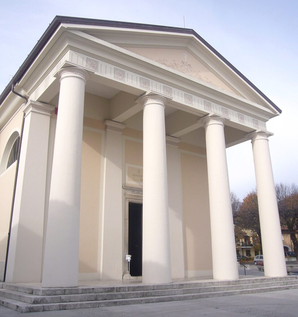
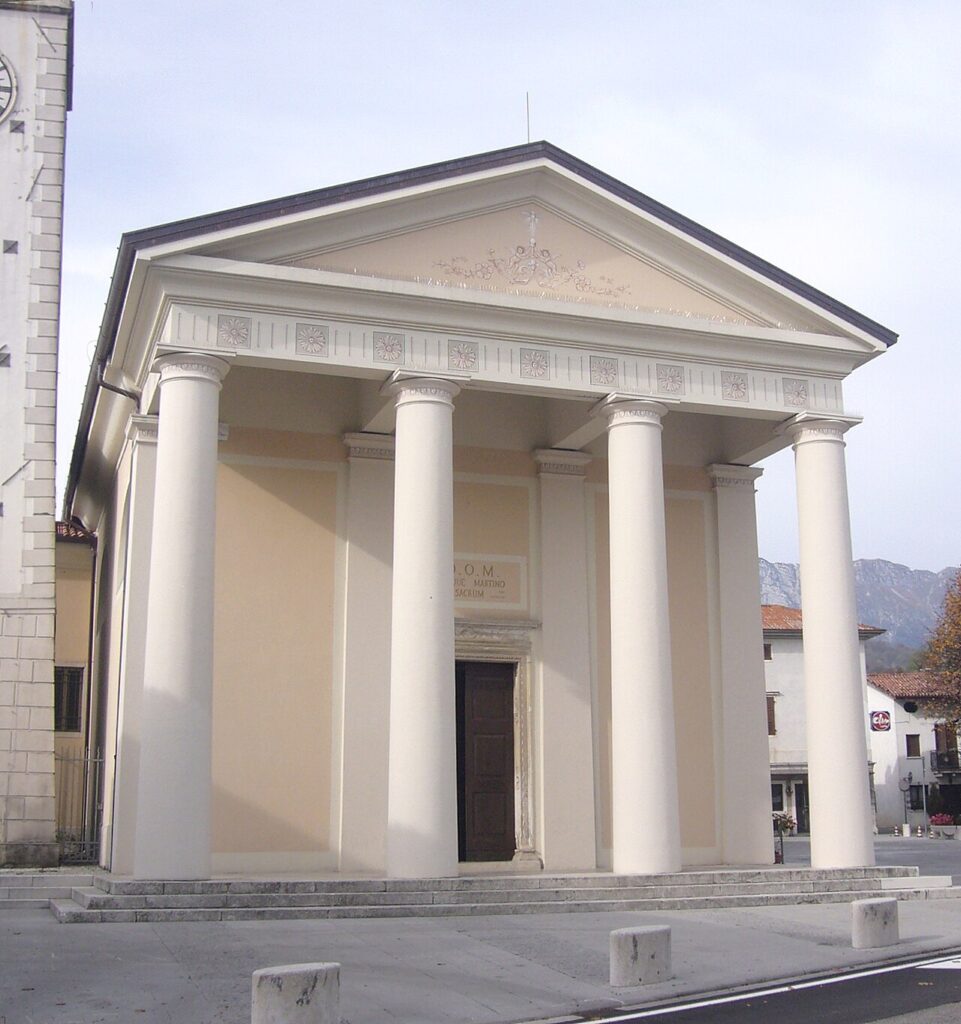
Chiesa di San Martino Vescovo
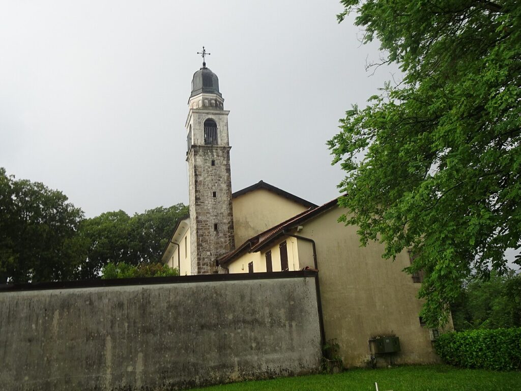
The parish church dedicated to San Martino Vescovo stands inside the village centre and serves as the spiritual reference point for the fannesi. It belongs to the diocese of Concordia-Pordenone and to the deanery of Maniago. The first documented reference to a church in Fanna goes back several centuries, though the current building reflects later phases of construction and restoration. On 11 November, the feast of San Martino, the church becomes the focus of community gathering — a date that marks the rhythmic end of the agricultural season in the Friulian calendar and carries its own local weight beyond the liturgical calendar.
Santuario della Madonna di Strada
Accessible from the regional road 464, the sanctuary of the Madonna di Strada sits in a position that has long made it a stopping point for travellers and pilgrims crossing this part of the Pordenone territory. The sanctuary hosts concerts, community gatherings and seasonal celebrations through the year. Near the sanctuary stands one of two monuments in Fanna dedicated to Alpine soldiers fallen in war — the other is located in front of the town hall. The combination of religious and civic memory concentrated in this small area makes the sanctuary more than a place of worship.
Castello di Mizza
On a hill not far from the village centre, the ruins of the Castello di Mizza occupy a rise that was already used for defensive purposes in the proto-historic period of the castellieri — the fortified hilltop settlements that dotted the pre-Roman landscape of Friuli during the Bronze and Iron Ages. The castle itself belongs to the medieval period, though the hill’s strategic use is considerably older. The site is reached on foot and offers a direct reading of how the terrain was understood and exploited across different historical phases. Little remains standing, but the position alone justifies the detour.
Chiesetta di San Silvestro
A small chapel dedicated to San Silvestro sits near the provincial road SP2, recently restored and easy to spot when passing through the lower part of the commune’s road network. Modest in scale, it represents the kind of roadside sacred architecture that marks the Friulian landscape at regular intervals — a visual and devotional punctuation for travellers on foot or by vehicle. Its restoration keeps it in use and in view, preventing the slow erasure that has claimed similar structures elsewhere in the region.
Friulian Language Signage and Living Dialect
In recent years, Fanna has added extensive bilingual signage throughout the village, with street names and public notices appearing in both Italian and friulano. The local variant belongs to the western branch of Friulian, and it has been studied with particular care here, partly because of a substantial body of literary documents — texts largely attributed to the writer Vittorio Cadel — that recorded and preserved its specific features. The commune is formally recognised under regional and national legislation protecting minority languages. For visitors with an interest in Friulian cultural identity, Fanna’s visible linguistic commitment is itself a point of interest.
Fanna is known in the region as il paese delle Mele Antiche — the village of ancient apple varieties — a designation that reflects not historical accident but an active choice to preserve cultivars that commercial orcharding long ago abandoned across much of the Friulian plain.
Flavours From the Orchards and the Surrounding Territory
The apple heritage of Fanna is the most distinctive local food note — not an industrial product but a community effort to maintain old cultivars that have largely disappeared from commercial production. The orchards here represent agricultural memory as much as gastronomy. Beyond this, the food landscape of Fanna draws from the broader Pordenone territory, which includes products with protected designations: Brovada DOP, a fermented turnip preparation traditional to Friuli, Montasio DOP cheese, Pitina IGP — a smoked meat speciality from the mountain valleys — and Salamini italiani alla cacciatora DOP. These are products of the wider area, not exclusive to Fanna itself, but they form the table culture that any visitor to this part of Friuli will encounter. The Friuli Grave DOC wine appellation covers vineyards across this zone and provides the most locally relevant pairing for a meal in the village or the surrounding communes.
Planning your visit and getting there
Fanna can be reached using the practical reference points below. Distances and journey times are kept concise so the access information stays clear and consistent.
| Departure | Distance | Time |
|---|---|---|
| Pordenone | approx. 30 km | approx. 35 min |
| Udine | approx. 65 km | approx. 1 hour |
| Trieste | approx. 130 km | approx. 1 hour and 45 min |
| Venezia | approx. 130 km | approx. 1 hour and 30 min |
These practical reference points are enough to plan the journey without overloading the text with unstable logistics. Once on site, the village is best understood slowly, on foot and in relation to the surrounding landscape.
Frequently asked questions about Fanna
How do I get to Fanna by car or public transport?
By car, take the A28 motorway (Pordenone–Conegliano) and exit at Pordenone Nord or Sacile Est, then follow the SP13 toward Meduno through Sequals. Fanna lies roughly 30 km north of Pordenone. By public transport, regional buses operated by APT Gorizia/FVG connect Pordenone to the Valcolvera valley, with a stop serving Fanna. The nearest railway station is Pordenone, on the Venice–Udine line. A car is strongly recommended for full exploration of the surrounding hills.
When is the best time to visit Fanna?
Late spring (May–June) and early autumn (September–October) offer mild temperatures ideal for walking the hill ridges. The most characterful date is 11 November, the feast of patron saint San Martino, when the village celebrates with traditional local festivities. Autumn also coincides with apple harvesting in the heritage orchards, making it a particularly rewarding period for visitors interested in the area's agricultural identity. Summer is pleasant but quieter; winter can bring snow above the 274 m elevation.
Are there marked hiking or cycling routes around Fanna?
The Valcolvera valley, which Fanna overlooks, is crossed by documented routes connecting villages along the Colvera torrent. The CAI (Club Alpino Italiano) maintains trails in the Carnian Prealps foothills accessible from this area, with Frisanco to the north serving as a gateway to more demanding paths. Mountain biking along the SP13 provincial road and its secondary lanes is popular locally. Walkers are advised to consult the CAI Pordenone section or the Friuli Venezia Giulia regional trail map before setting out.
What practical information should I know before visiting Fanna?
Fanna is a small village of about 1,464 inhabitants, so facilities are limited. A half-day is generally sufficient to visit the village centre, the sanctuary of the Madonna di Strada, and the surrounding hill landscape on foot. Free roadside parking is available near the village centre. There is no dedicated tourist office on site; visitors should contact the Comune di Fanna or the Pordenone provincial tourism office (VisitPordenone) for updated information on monument opening times and local events.
Is there any notable historical curiosity about Fanna not widely known?
The combined noble title of counts Polcenigo-Fanna, held by one of Friuli's most prominent medieval dynasties, is relatively obscure outside regional history. The first documented mention of the settlement dates to 924 AD, making Fanna one of the older recorded inhabited places in western Friuli. This early medieval attestation, linked to feudal control over the Colvera valley corridor — a strategic passage between the plain and the Carnian Prealps — gave the village disproportionate political significance for its modest size.
📷 Photo Gallery — Fanna
In Friuli-Venezia Giulia More villages to discover
Coseano
 Plains
In 1275, a document from the Patriarchate of Aquileia records the name Cosean among the communities subject to feudal jurisdiction in the Udine hill area. Seven centuries later, the municipality retains its rural layout, spread across the main settlement and the hamlets of Cisterna, Barazzetto, Muscletto and Nogaredo di Coseano, scattered over flat terrain at […]
Caneva
Plains
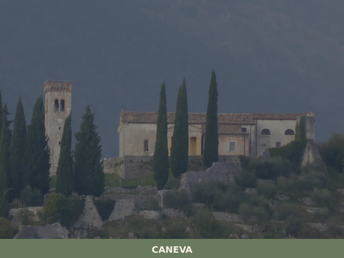
What to see in Caneva, Italy: explore a 42 km² comune near Pordenone. Discover top attractions, local food and travel tips. Read the complete guide.
Cassacco
Plains
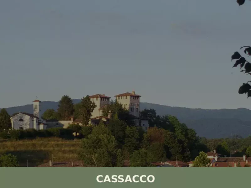
The Castle of Cassacco appears in documents of the Patriarchate of Aquileia as early as 1158, when Patriarch Ulrich II confirmed its possession to the local lords. Since then, that manor in a commanding position over the Friulian plain has shaped the life of an entire rural territory, defined by cultivated fields, rows of vines […]
Carlino
Plains
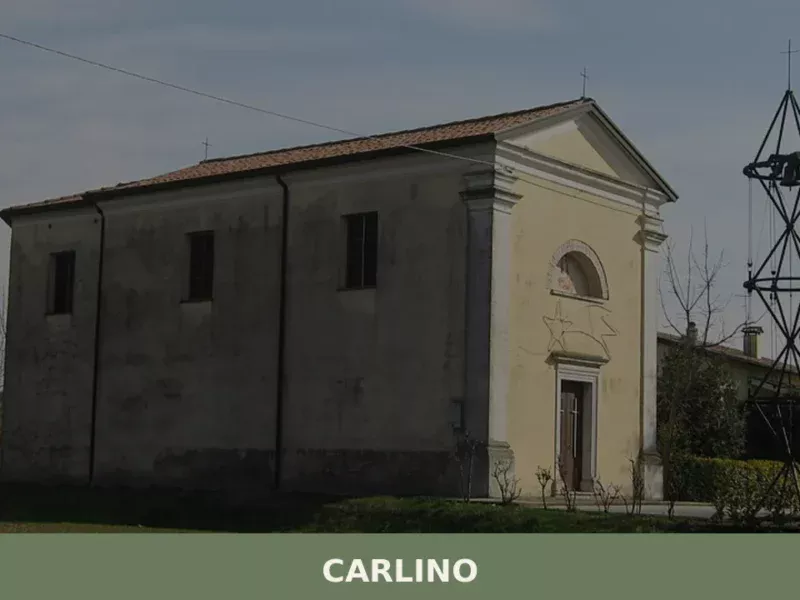
The first thing you notice arriving in Carlino is the industrious silence of the Friulian plain, broken only by the rustle of water flowing through the drainage canals that cross the municipal territory. We are in the Bassa Friulana, province of Udine, just a few kilometres from the Marano Lagoon, in a land where agriculture […]
Amaro
 Hills
Hills
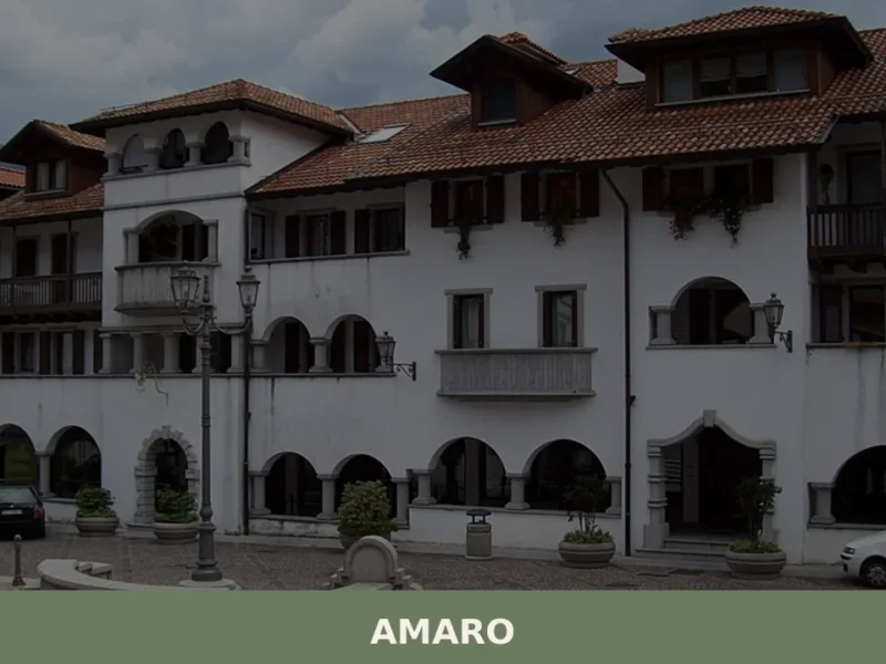
Amaro is a quiet mountain village at the entrance to Carnia in the province of Udine, where Friuli's Alpine landscape begins in earnest.
Colloredo di Monte Albano
Hills
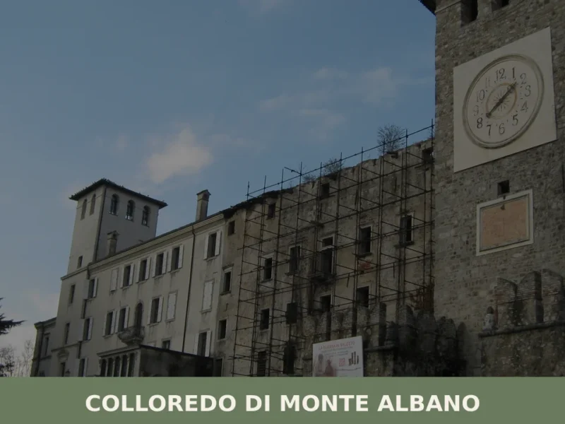
The earthquake of 6 May 1976 split the history of Colloredo di Monte Albano in two: before and after. The castle of the Counts of Colloredo, one of the most imposing noble residences in Friuli, largely collapsed that evening, and with it shattered an architectural heritage built over seven centuries. Today, after decades of restoration, […]
Castions di Strada
Plains
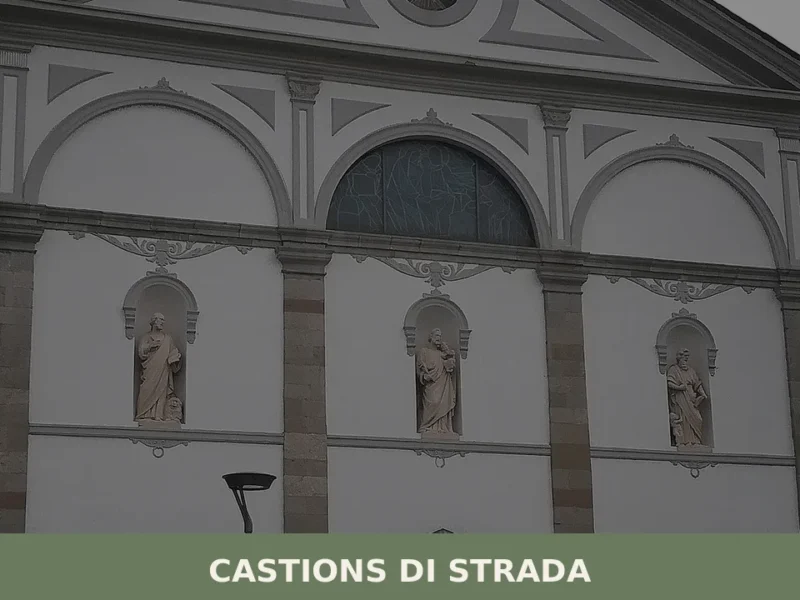
A straight road cuts across the Friulian plain at twenty-three metres above sea level, and along that route — the ancient road that connected Aquileia to Concordia Sagittaria — a settlement grew whose very name declares its reason for being. Castions di Strada owes its identity to that Roman road, to a network of drainage […]
Ampezzo
Hills
A documentary-style guide to Ampezzo in Carnia, covering its history, key attractions, Carnic cuisine, and how to reach this quiet alpine village in Friuli Venezia Giulia.
Bicinicco
Plains
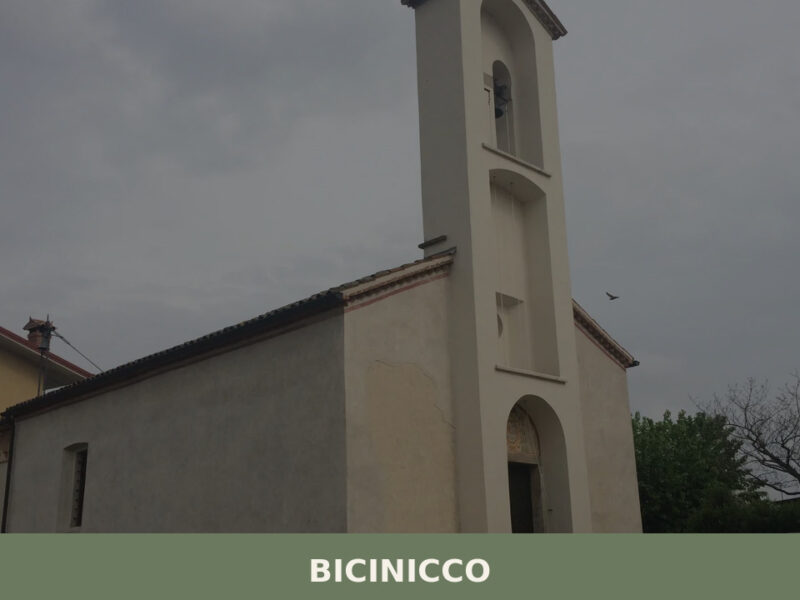
A commune of 1,801 inhabitants on the Friulian plain south of Udine. Discover the churches, hamlets, and agricultural landscape of Bicinicco.
Cercivento
 Mountain
Discover what to see in Cercivento: a 635-soul village in the Carnic Alps of Friuli Venezia Giulia, with historic churches, mosaics, and alpine trails.

🏡 Know Fanna better than we do?
If you’re a local or have been there, your knowledge matters: add what’s missing or fix a detail on this page.