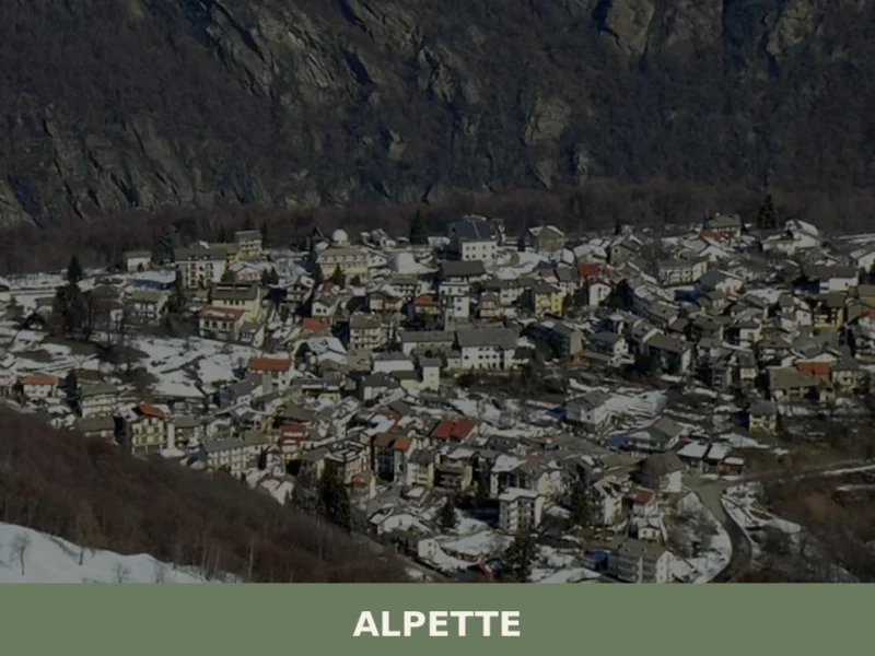
The road climbs steadily through chestnuts and beech forests until the mountains open suddenly into a broad amphitheatre of stone. There, at 640 metres above sea level, lies Rubiana—a village of 2,608 inhabitants cradled in the Val di Susa, a valley running west from Turin. The peaks encircle it: Monte Curt, Rognoso, Civrari, Sapei, Rocca Sella, and the Colle del Lys define the horizon, while Monte Arpon rises closer to the centre of this natural bowl. The light here changes colour with the seasons, turning the iron-rich soil from rust to deep brown.
Rubiana village in Piedmont carries the imprint of three thousand years of settlement—from pre-Roman Ligurians and Celtic peoples to the farming communities that built its core. Two primary draws hold modern visitors: the Sanctuary of the Madonna della Bassa, an 18th-century pilgrimage site linked to a miraculous tradition, and the surrounding landscape of managed forests and mountain pasture that makes walking routes accessible year-round.
The Celtic Name and Medieval Records
The name Rubiana may derive from Latin or Celtic roots; the exact origin remains uncertain. The russet tone of the local earth has long caught local attention. The iron-rich geology has shaped the land for geological ages. Before written records, the territory belonged to the Ligurians in the pre-Roman period, then to Celtic and Gallo-Celtic peoples who understood these valleys as passages and homelands.
The first documented mention of Rubiana appears in a charter from 1029, marking it within the administrative orbit of medieval Piedmont. In the 1700s, a small sanctuary was built near the hamlet of Mompellato to commemorate a miraculous event that local tradition dates to 1713. This shrine was later expanded, becoming a focal point for devotion to the Madonna della Bassa and drawing pilgrims from across the valley. The village’s coat of arms and civic banner were formally granted by presidential decree on 28 January 1958.
The survival and adaptation of a mountain settlement depends on the rhythms of the land: the chestnut harvest, the winter snow, the spring migrations of herds. Rubiana endured these cycles through centuries of relative isolation before the roads came.
The second half of the twentieth century brought a severe demographic crisis. Between the 1950s and 1960s, economic pressure and limited local opportunity drove many families to emigrate, draining the population. By the early 2000s, the village had partly recovered, though the character of residence had shifted—by 2009, around 210 foreign nationals lived within the municipality, primarily from Romania and Morocco, reflecting contemporary European migration patterns.
The Landscape and Its Resources
Rubiana occupies roughly 27 square kilometres spread across an altitude range of nearly 1,700 metres. The lowest point, the Molino hamlet, sits at 525 metres; the highest, Punta della Croce, reaches 2,234 metres. The torrente Messa is the principal watercourse, flowing through terrain dominated by mixed forest. Chestnuts, oaks, beeches, larches, and pines grow in productive association, creating an ecosystem that has supported both sustenance and timber for centuries.
Historically, Rubiana was a significant producer of fruit—chestnuts, apples, and cherries ripened in the mild microclimate and were bartered or sold in valley markets. That agricultural identity persists in the patchwork of managed woodland and pasture visible from every slope. Meadows and grazing land remain interspersed with forest, preserving a semi-natural landscape that rewards slow exploration on foot. A portion of the municipal territory falls within the Col del Lys Provincial Nature Park, a protected area that safeguards the ecological integrity of the higher ridges.
The Sanctuary of the Madonna della Bassa
A Place of Pilgrimage and Local Devotion
Near Mompellato, on the valley floor, stands the Sanctuary of the Madonna della Bassa—a modest but spiritually significant site. According to tradition, a miraculous event was witnessed here in 1713, and the shrine was built to honour it. Over the generations, the sanctuary has been enlarged and maintained by the community, becoming a destination for devotional walks and seasonal processions. Though small in footprint, it anchors the village’s religious life and draws visitors seeking quiet prayer or reflection within the soundscape of the surrounding mountains.
Walking Routes and Mountain Access
The Natural Landscape as Living Heritage
The terrain around Rubiana lends itself to walking exploration at multiple levels of difficulty. The Molino hamlet, accessible by a gentler path through lower forest, offers a starting point for visitors unfamiliar with alpine walking. From the village core, trails ascend toward the Col del Lys and adjacent ridges, where views expand across the Val di Susa and into the higher Alps. In spring and early summer, meadows fill with wildflower colour; autumn brings the chestnut harvest and a shift in the light quality across the slopes. The forest canopy screens the valley noise, creating spaces of genuine solitude—a rare resource in contemporary travel.
Traditional Food and Agricultural Heritage
The agricultural traditions of Rubiana centre on woodland products and hardy crops suited to the altitude and season. Chestnuts remain the signature crop, harvested in autumn and processed into flour, roasted snacks, or preserved goods traded within the valley economy. Apples and cherries, though less prominent than in earlier centuries, still appear in local gardens and smallholdings. The pasture-fed herds that graze the meadows contribute milk and meat to regional food networks, though few dedicated artisanal producers remain within the village itself.
The broader Piedmont region holds numerous protected geographical indication products, among them hazelnuts, apples, and cheeses like Toma Piemontese that reflect the agricultural expertise of mountain and lowland zones alike. While Rubiana itself does not produce a designated protected product, its historical role in chestnut and fruit cultivation connects it to these regional food narratives. Visitors interested in tasting local produce typically find opportunity in the seasonal markets of nearby larger towns, or through direct purchase from small producers working the upper valley.
Planning Your Visit
Rubiana lies in the Susa Valley west of Turin. The village is reached via regional roads that climb from the valley floor depending on traffic and your departure point. Public transport connects the Susa Valley through bus services operated by regional carriers; schedules favour morning departures and afternoon returns. If you arrive by car, parking is available near the village centre and at trailheads; winter snow occasionally closes higher routes, so check local conditions between November and March.
The best season to visit is late spring through early autumn—May to September—when temperatures are mild, forest trails are accessible, and the sanctuary area is regularly open to visitors. The village operates year-round, and the mountain landscape holds appeal in winter for those prepared for cold and occasional snow. Accommodation options within Rubiana are limited; visitors typically base themselves in nearby Avigliana or Almese, both within the same valley system and offering greater choice of lodging and restaurants. The Feast of Sant’Egidio, the village’s patron saint, structures the local calendar, though precise dates for public celebrations are best verified with the municipal office before travel.
| Departure Point | Distance | Driving Time |
|---|---|---|
| Turin city centre | ||
| Avigliana | ~12 km | 15–20 minutes |
| Almese | ~8 km | 12–15 minutes |
For practical details, current opening hours for the sanctuary, and seasonal trail conditions, consult the official municipal website. The administrative office can provide maps, guidance on accessible routes, and contact information for local guides familiar with the terrain and its history.