


 Mountain
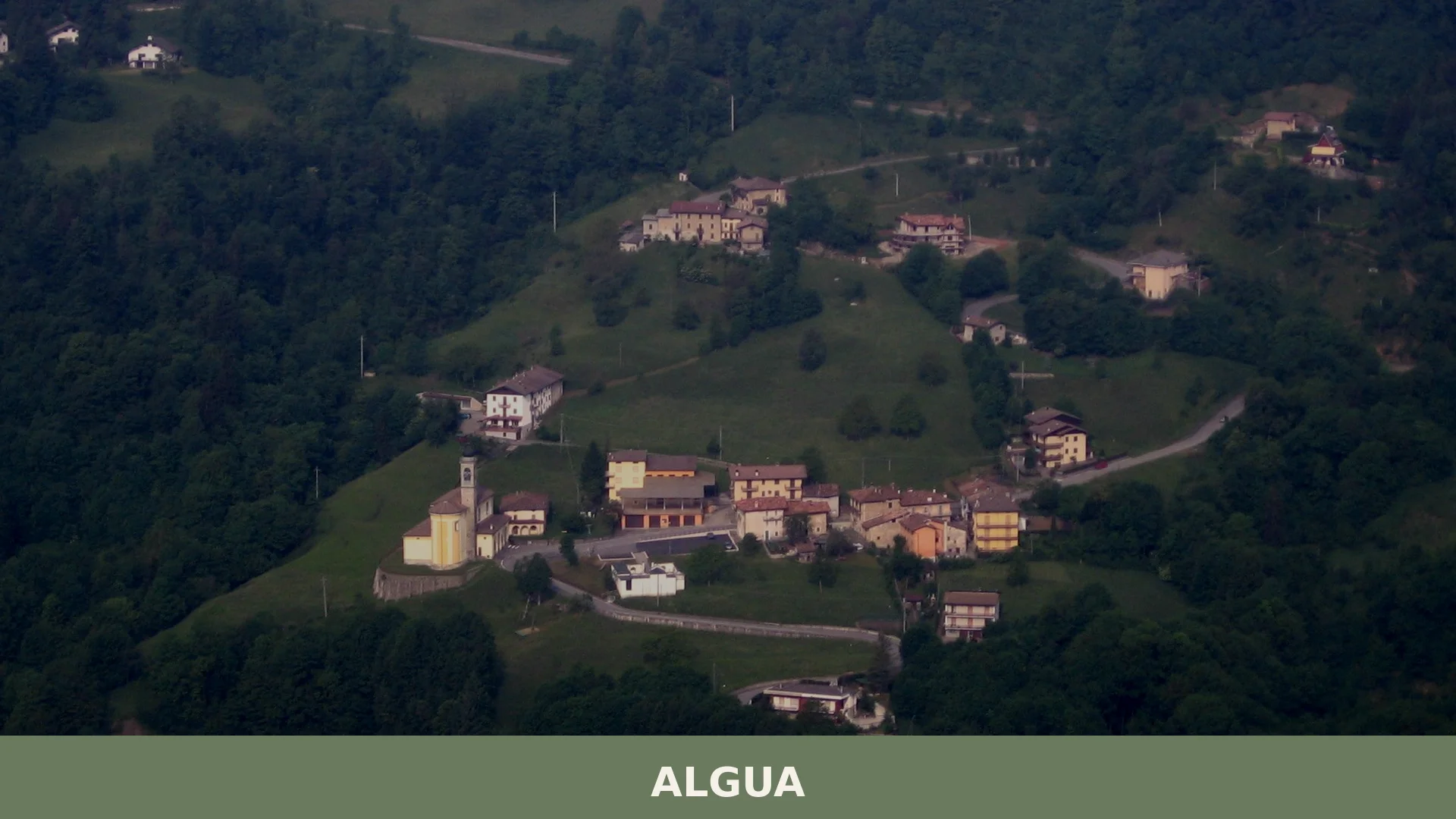
Algua is a compact mountain comune near Bergamo whose split territory, medieval ruins and hilltop sanctuaries make it a quietly distinctive destination in the Val Serina.
Discover Algua
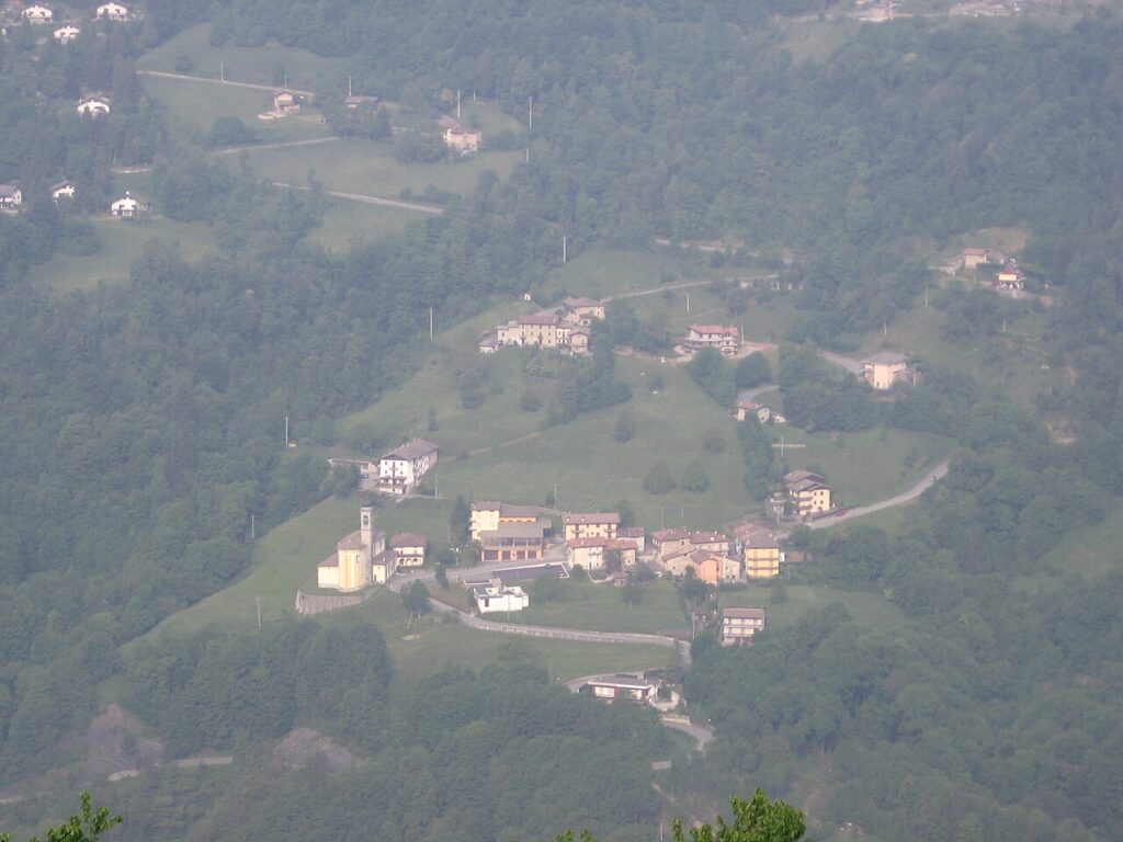
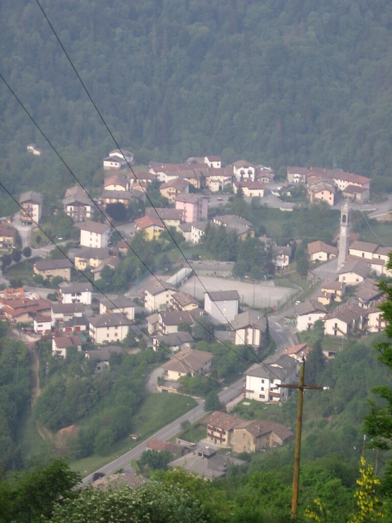
Algua is a mountain commune of 684 inhabitants in the province of Bergamo, Lombardia, set at 432 metres above sea level in the Val Serina — a lateral valley of the Val Brembana, roughly 24 kilometres north of Bergamo. Its territory, covering just over 8.14 square kilometres, is divided into several frazioni including Pagliaro, Sambusita, Rigosa, and Frerola, and has been split since 1948 into two non-contiguous portions separated by the neighbouring commune of Costa Serina.
Algua village in Lombardy carries a layered past that reaches from Roman-era administration through medieval local rivalries, a landscape-altering landslide in 1888, and a devotional tradition anchored in the Santuario della Madonna del Perello. The small lake formed by that nineteenth-century landslide — which blocked the Serina torrent and still sits in the valley today — is as much a part of Algua’s identity as its hilltop churches and the medieval ruins of the Torre di Rigosa.
Algua village in Lombardy: history and origins
Algua, a small mountain commune in the Val Serina north of Bergamo, traces its origins back to around the first century BC, when the entire Serina valley came under the administration of the Roman municipality of Bergamo, with some material traces of that era surviving in the frazione of Pagliaro. Documentation from the intervening centuries is sparse, and the next clearly attested chapter belongs to the medieval period, when recurring disputes broke out among the inhabitants of neighbouring settlements over local rivalries — conflicts described as strictly parochial in nature, quite distinct from the broader Guelph and Ghibelline struggles that marked other parts of the Bergamo area.
A dramatic natural event shaped the physical landscape of Algua in 1888, when a landslide struck the inhabited nucleus of Truchel, causing deaths and widespread destruction. The debris blocked the course of the Serina torrent, inadvertently creating a small lake — still present today and known as the laghetto di Algua. Then, on 11 March 1948, the reconstitution of the neighbouring commune of Costa Serina split Algua’s territory into two separate, non-contiguous portions, with the closest points of the two sections lying more than 432 metres apart as the crow flies.
Churches, Ruins and a Lake: the Built Heritage of Algua
Algua’s points of interest are distributed across its four fractions — Pagliaro, Sambusita, Rigosa and Frerola — and include five religious buildings, one medieval tower reduced to ruins, and a small lake formed by a landslide in 1888.
Santuario della Madonna del Perello
Chiesa del Corpus Domini, Pagliaro
The oldest religious structure in the comune, with origins traced to the early fifteenth century. The original presbytery survives along with its ancient frescoes. In 1494 the building was substantially enlarged and its axis rotated by 180 degrees — an unusual intervention that reversed the orientation of the entire structure.
Chiesa di Sant’Antonio Abate, Rigosa
A church dedicated to Saint Anthony Abbot, situated in the fraction of Rigosa.
Chiesa di San Pietro Apostolo, Sambusita
The parish church of the fraction of Sambusita, dedicated to Saint Peter the Apostle.
Chiesa di San Giovanni, Frerola
A church dedicated to Saint John, serving the fraction of Frerola.
Torre di Rigosa
A medieval tower in Rigosa, of which only scattered ruins remain.
Laghetto di Algua
In 1888 a landslide struck the settlement of Truchel, blocking the course of the Serina torrent. The obstruction created a small lake that still exists today, known as the laghetto di Algua.
Certified Tastes from Algua and the Bergamo Valleys
The territory around Algua, in the Val Serina and the broader Bergamo province, is home to several certified products, most notably Formai de Mut dell’Alta Valle Brembana (DOP), a mountain cheese from the Brembana valleys that share the same Alpine landscape, and Bitto (DOP), another celebrated aged cheese produced across the neighbouring valleys. Visitors with a taste for bold flavours will also find Gorgonzola (DOP) and Grana Padano (DOP) among the provincial cheeses worth seeking out at local markets.
These are products of the wider provincial and regional territory rather than exclusive specialities of Algua itself, but they are natural companions to any visit to this corner of the Bergamo pre-Alps. For those interested in wine, the nearby appellations include Valcalepio (DOC) and Terre del Colleoni / Colleoni (DOC), both rooted in Bergamo’s hills, while the Bergamasca (IGT) designation covers a broad range of local wines produced across the province.
Getting to Algua and Planning Your Stay in Val Serina
Algua sits roughly 24 kilometres north of Bergamo along the Val Serina, a lateral valley branching off the Val Brembana, and is best reached by car via the road network linking Bergamo to the Brembana valley system — a journey that typically takes around 40 minutes depending on conditions. The village lies at 432 metres above sea level and is classified as an inland mountain commune, making the spring and summer months the most comfortable period for exploring its hamlets and the surrounding landscape.
The territory is divided into two separate portions since 1948, when the reconstitution of the neighbouring commune of Costa Serina broke Algua’s continuity — a geographical quirk worth keeping in mind when planning a walking route between the fractions of Pagliaro, Sambusita, Rigosa and Frerola. The village’s institutional website at www.comune.algua.bg.it is a practical starting point for current local information.
Travellers arriving from the Po Plain can orient themselves through Dalmine, a gateway town north of Bergamo on the approach to the valley roads. Those combining the visit with the broader Bergamo province might also consider a detour toward Adrara San Rocco, situated in the southern reaches of the province and offering a contrasting lakeside perspective.
| Departure | Distance | Time |
|---|---|---|
| Bergamo | approx. 24 km | approx. 35-40 min |
| Dalmine | approx. 30 km | approx. 45-50 min |
| Milano | approx. 70 km | approx. 75-90 min |
These practical references help organise the journey clearly, while the village itself is best understood slowly and on foot once you arrive.
Frequently asked questions about Algua
How do I reach Algua from Bergamo?
Algua is located approximately 24 kilometres north of Bergamo city centre in the Val Serina valley. The most practical route is by car: head north towards Val Brembana, then follow signs for Val Serina. The journey takes roughly 45 minutes to one hour depending on traffic. Public transport options are limited; check local Bergamo transit services for bus schedules serving the valley. The nearest railway station is Bergamo, from which you'll need to arrange onward transport.
What is the best time to visit Algua?
Algua is ideal for visiting during late spring through early autumn (May to September), when mountain weather is most stable and hiking trails are fully accessible. The patron saint feast of Corpus Domini (typically June) brings local celebrations. Summer offers the warmest conditions for exploring the Val Serina landscape and the historic lake formed by the 1888 landslide. Winter can bring snow at this elevation (449 metres), making some routes challenging.
What are the main historical attractions in Algua?
Key sites include the medieval Torre di Rigosa ruins, the Santuario della Madonna del Perello shrine, and the naturally formed lake created by the significant landslide of 1888 that blocked the Serina torrent. The village's hilltop churches reflect centuries of devotional tradition. Roman-era material traces survive from when the valley fell under Bergamo's administration in the first century BC, connecting Algua to ancient heritage.
Is Algua suitable for hiking and outdoor activities?
Yes, Algua serves as an excellent base for mountain hiking in Val Serina. The valley landscape offers accessible trails suitable for various fitness levels. The 1888 landslide lake provides scenic walking routes, and the surrounding mountains attract hikers year-round. For organised routes and CAI (Italian Alpine Club) trail information, consult local tourism offices in Bergamo or Val Serina communities. Summer is optimal for extended hiking expeditions.
📷 Photo Gallery — Algua
In Lombardy More villages to discover
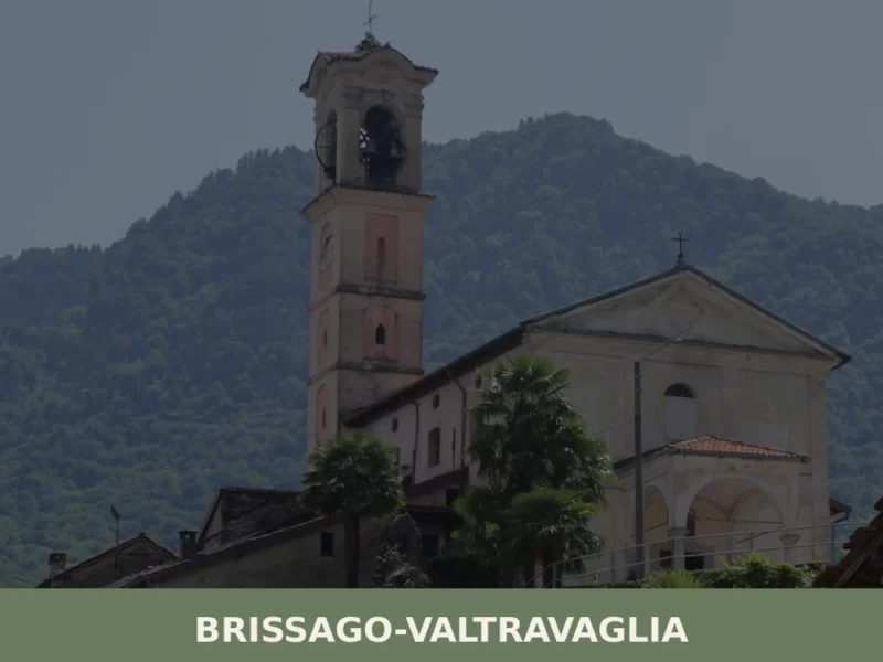
Brissago-Valtravaglia
 Hills
Hills
What to see in Brissago-Valtravaglia: village at 429m with 5 top attractions, Lombard cuisine and panoramic trails. Explore the complete guide now.
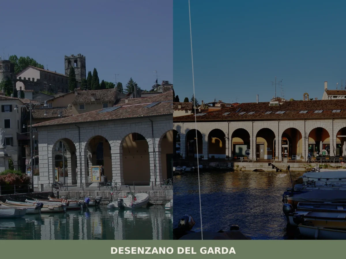
Desenzano del Garda
 Lake
Lake
 Plains
what to see in desenzano del garda in Italy. Explore Desenzano del Garda, Lombardia, Italy, at 67 m a.s.l., from its Roman Villa to the Old Port. Discover its history and attractions.

Milano
Plains
Over 1.3 million residents and 2,600 years of history make Milano Lombardia one of Europe's most compelling destinations. Art, opera, fashion and extraordinary food await every visitor.
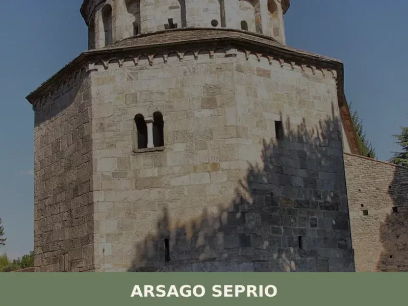
Arsago Seprio
Hills
In Arsago Seprio, located in the province of Varese, the ancient Basilica of San Vittore Maggiore features structures dating back to the 9th century, indicating continuous settlement rooted in Roman times. This specific detail introduces a village of 4,869 inhabitants, located 290 meters above sea level, where historical layering is a tangible element. For those […]
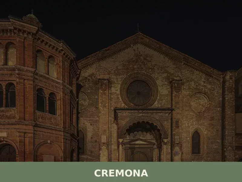
Cremona
Plains
What to see in Cremona? With a population of 70,637, this city of lutherie offers the iconic Torrazzo and Violin Museum. Explore our guide.
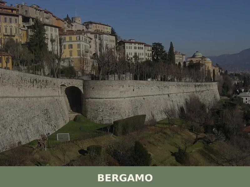
Bergamo
Hills
What to see in Bergamo? With 119,534 inhabitants, the city is famous for its Venetian Walls and Piazza Vecchia. Discover its rich history and typical dishes.
Acquanegra Cremonese
Plains
Discover what to see in Acquanegra Cremonese, a rural comune of 1,159 in the Province of Cremona, Lombardia u2014 from cascine architecture to Po Valley food culture.

Dello
Plains
Population 5,675. A medieval comune built around sacred geometry and seasonal harvests, anchored by the Mella river and the October mushroom fair.
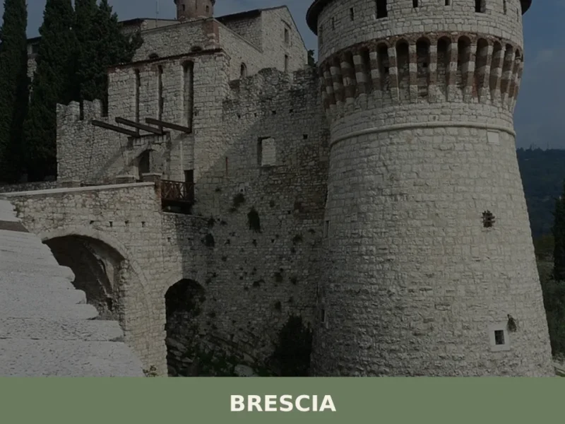
Brescia
Plains
In 1826, during the excavation of a house’s foundations on Via Musei, the Winged Victory emerged from the ground — a Roman bronze from the 1st century AD, nearly two metres tall, and the symbol of a city that has layered twenty-five centuries of history upon itself. Anyone wondering what to see in Brescia today […]
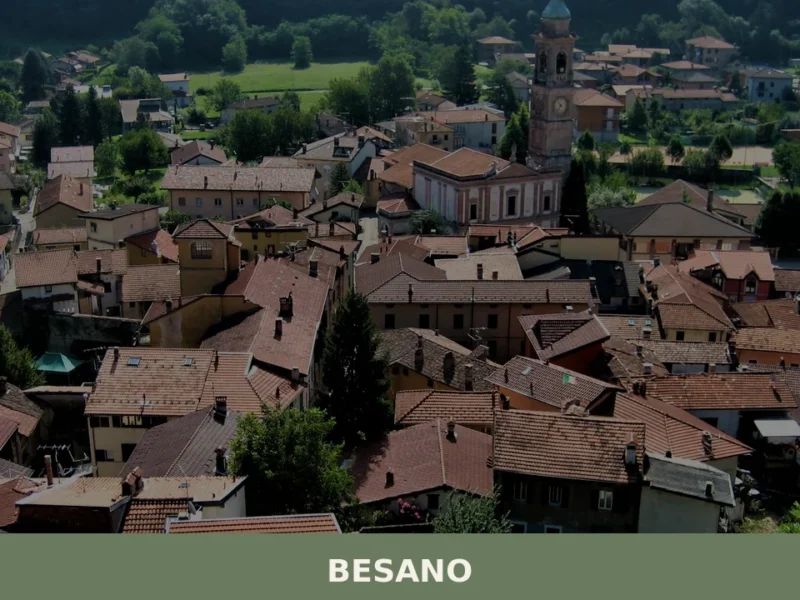
Besano
Hills
What to see in Besano, Italy: Explore the paleontological site and discover village life at 350 m (1,148 ft) a.s.l. Read our guide to Lombardy's unique corners.



🏡 Know Algua better than we do?
If you’re a local or have been there, your knowledge matters: add what’s missing or fix a detail on this page.