


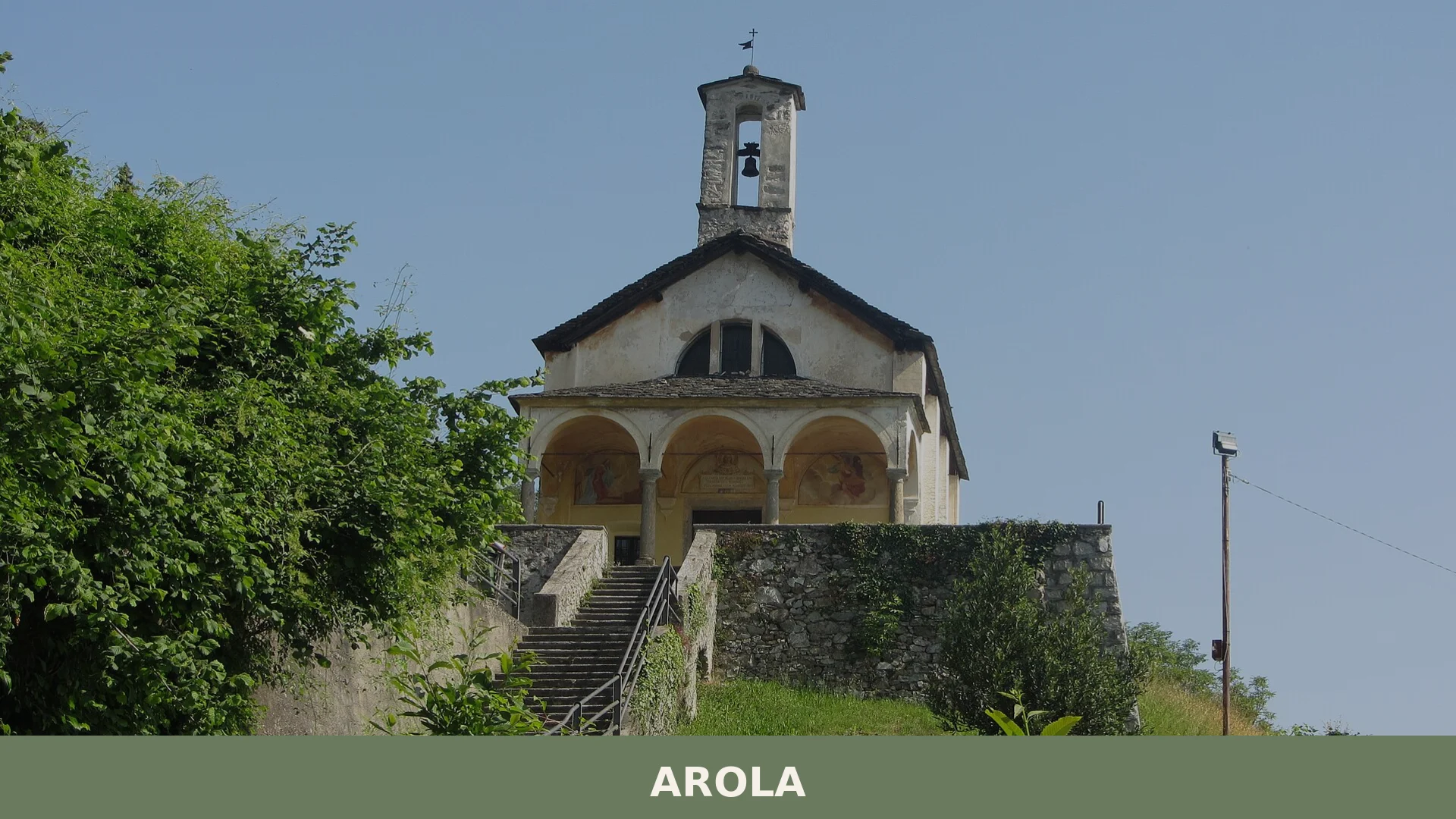

Arola is a compact mountain comune at 613 metres in Verbano Cusio Ossola, Piedmont, with a medieval history shaped by the bishops of Novara and a living tradition of alpine pilgrimage routes.
Discover Arola
Arola is a small mountain commune of around 240 residents in the province of Verbano Cusio Ossola, Piemonte, sitting at 615 metres above sea level across a compact territory of roughly 6.57 square kilometres. Classified as an internal mountain zone, it lies along a historic route crossing the Colma pass toward Valsesia, a position that gave the settlement a significance well beyond its modest population throughout the medieval and early modern periods.
Arola village in Piedmont rewards visitors who look beyond the obvious circuits: its churches dedicated to San Bartolomeo, Sant’Antonio abate and San Giovanni Battista anchor a community whose patron saint is celebrated each year on 24 August, while the broader territory connects to the long-distance Cammino di San Carlo, a walking route of some 230 kilometres that threads through this corner of northern Piemonte.
Arola village in Piedmont: history and origins
Arola and its fraction Pianezza trace their origins to the medieval period, when the territory fell under the feudal authority of the Bishop of Novara, who held the title of prince of the Riviera d’Orta; from 1395 until 1767 the area was governed collectively through the Consiglio generale della Riviera — the Universitas Riparie — a council of fifteen representatives, one of whom was nominated by the community of Arola itself.
Throughout this long period of episcopal rule, Arola held a particular administrative role: owing to its position along the route crossing the Colma pass toward Valsesia, the bishop stationed here one of his officers responsible for collecting commercial tolls. This function underlines how the village’s fortunes were shaped less by its modest size than by its strategic place on a well-travelled mountain corridor.
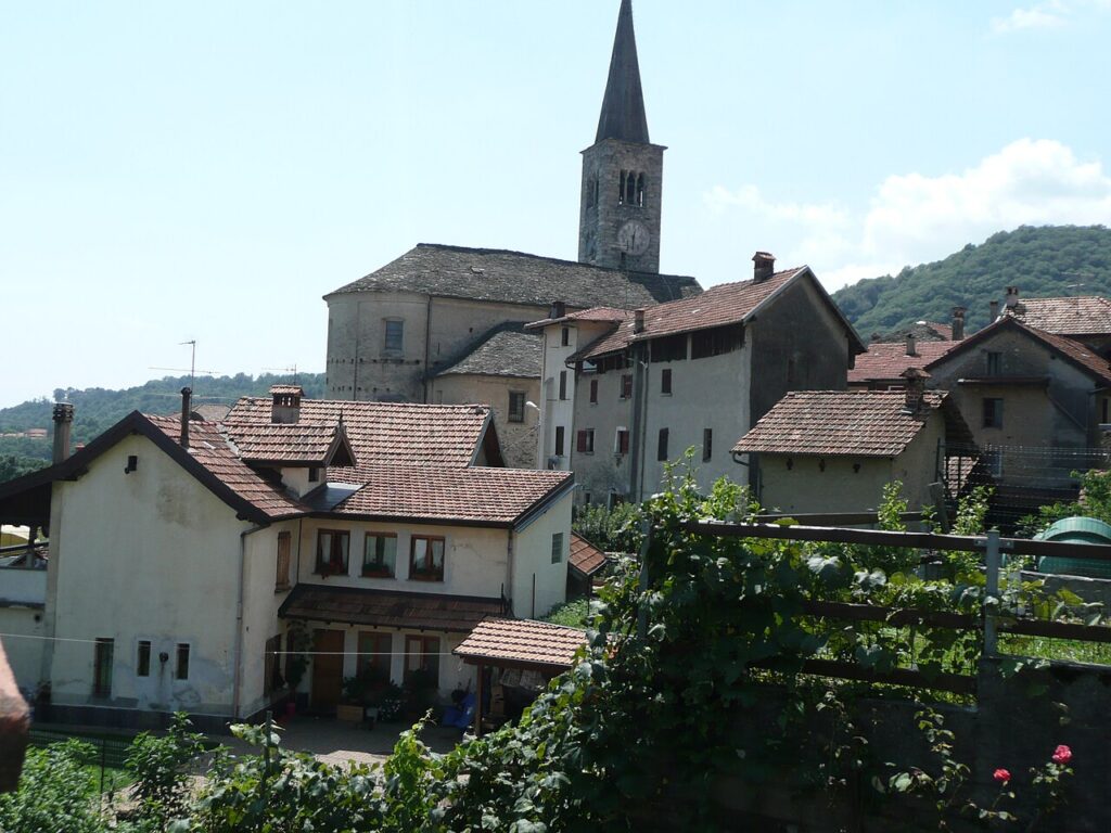
Episcopal authority over the territory came to an end in 1767, when the bishop formally acknowledged the sovereignty of the Kingdom of Sardinia. The village’s main church, dedicated to San Bartolomeo, reflects this long institutional history: a pre-existing oratory was rebuilt in the closing decades of the sixteenth century, consecrated around 1590, and definitively established as a parish in 1604 by Bishop Carlo Bascapè.
Churches and Oratories Along the Colma Road
Arola has four religious buildings worth visiting: the parish church of San Bartolomeo, the oratory of the Annunciazione (now known as the Assunta), the oratory of Sant’Antonio abate, and the oratory of San Giovanni Battista in the frazione Pianezza.
Parish Church of San Bartolomeo
The main building in the village, this church traces its origins to the closing decades of the sixteenth century, when an earlier oratory on the same site was rebuilt and consecrated — a process completed around 1590. Definitive parish status followed in the early seventeenth century. The façade is preceded by a colonnaded portico housing two large paintings: one depicting the Annunciation and one of San Cristoforo. The single-nave interior is flanked on the north side by three chapels dedicated respectively to the Virgin of the Rosary, San Giuseppe and San Rocco, and on the south side by a chapel of Santa Marta. The stucco decorations throughout reflect the baroque taste of the building’s period of construction. The campanile, attached to the south flank of the church, was raised in the early seventeenth century, as recorded by an inscribed stone set into the structure; a restoration carried out between 2021 and 2022 uncovered the original coloring of its two clock faces.
Oratory of the Assunta (formerly the Annunciazione)
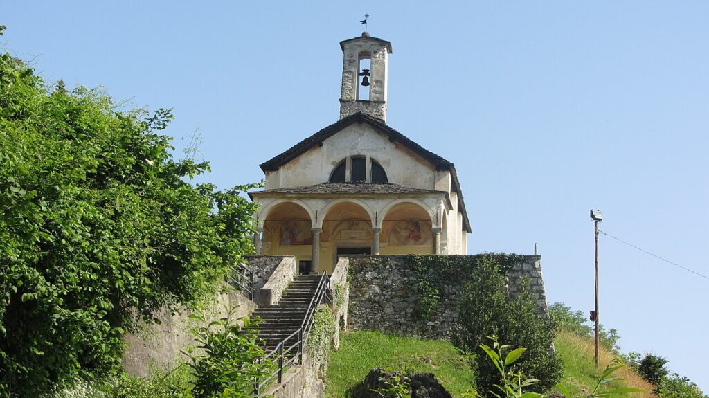
Positioned on a small hill just outside the village, this oratory is documented at least from the first half of the fifteenth century by a lapide on its façade. It was enlarged at the invitation of the bishop in the early 1600s, and a portico of four serizzo columns with a vaulted roof was added around the middle of the same century. The interior is a single nave with plaster decoration. After lightning damage in 1950 led to significant restoration work, a new painting of the Madonna Assunta replaced the earlier Annunciation image in the apse, and the building has since been known locally as the oratory of the Assunta, or simply “la Madonnina.”
Oratory of Sant’Antonio Abate
Located close to the village cemetery, this small oratory was restructured into its current form during the first two decades of the seventeenth century. Its interior preserves a cycle of frescoes dating from the 1470s, illustrating episodes from the life of Sant’Antonio abate as described in the Legenda Breviarii.
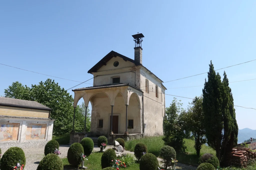
Oratory of San Giovanni Battista, Pianezza
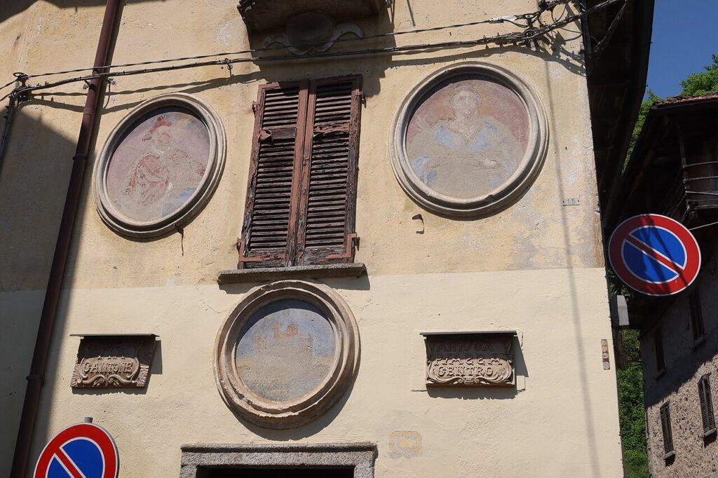
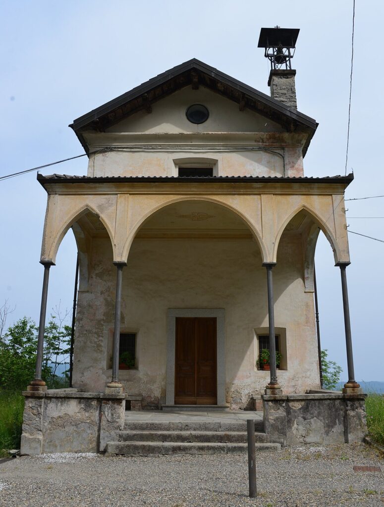
Situated in the hamlet of Pianezza beside the provincial road, this oratory was rebuilt in the early seventeenth century and completed around 1614, with the portico, sacristy and painted decorations added in the years that followed. Above the entrance in the portico hangs a painting of the Baptist; inside, the altarpiece places the Virgin and Child at the center, flanked by San Bartolomeo and San Giovanni Battista within a frame topped by a broken pediment. On the outer wall, a small shrine holds an image of the Madonna Nera di Oropa, made in the twentieth century to replace an older depiction on a nearby house; the original image, known locally as the Madonna Sgarfignaa, the “scratched Madonna,” was deliberately scratched yet remains visible today on the wall of the house.
Tastes of the Verbano Cusio Ossola: What to Eat Around Arola
Arola itself has no certified exclusive speciality, but the wider Verbano Cusio Ossola province is the home of Ossolano DOP, a mountain cheese produced in the Ossola valleys, and the territory falls within the production zone of the Valli Ossolane DOC wines, the only appellation native to this alpine corner of Piemonte.
Visitors travelling through the area will also encounter products bearing broader regional or provincial recognition. Cured meats such as Salame Piemonte IGP appear regularly on local tables, while traditional Piedmontese preparations — among them alpine herb liqueurs and ratafià — reflect the mountain pantry of this part of northern Italy. The great Piedmontese DOCG wines (Barolo, Barbaresco, Asti and others) originate further south in the region and are worth seeking out in the area’s enotecas, even if they are not produced in the Ossola hills.
Reaching Arola and Planning Your Stay in the Colma Valley
Arola sits at 615 metres above sea level at the head of the Pellino torrent valley, reached most conveniently by car along the panoramic road opened in 1968 over the Colma di Civiasco pass, which also connects the village to Varallo Sesia in the Valsesia; the best seasons for a visit are late spring through early autumn, when the mountain road is fully open and the feast of the patron saint San Bartolomeo animates the village on 24 August.
The pass at the Colma di Civiasco makes Arola a natural waypoint between the Lago d’Orta basin and the Valsesia, so a logical itinerary combines both valleys in a single loop. The village lies within the territory once belonging to the Comunità montana Due Laghi, Cusio Mottarone e Val Strona, a landscape framework that hints at the range of scenery reachable in a short drive. Walkers will find that Arola also touches the Cammino di San Carlo, a 230-kilometre pilgrimage route that threads through this part of Piemonte and offers a structured way to explore the wider area on foot.
For those building a broader itinerary through the province, the lakeside town of Arona on Lago Maggiore provides a well-connected base with rail links, while the small comune of Anzola d’Ossola offers another perspective on Ossolano mountain culture. Further afield in Piemonte, the village of Ailoche in the Biella hills rounds out a journey through the region’s quieter, less-visited communities.
| Departure | Distance | Time |
|---|---|---|
| Lago d'Orta (Orta San Giulio) | — | approx. 35-40 min |
| Varallo Sesia (via Colma di Civiasco) | approx. 30 km | approx. 45 min |
| Arona (Lago Maggiore) | approx. 45-50 km | approx. 55-60 min |
| Verbania | approx. 40 km | approx. 50 min |
These practical references help organise the journey clearly, while the village itself is best understood slowly and on foot once you arrive.
Frequently asked questions about Arola
How do I get to Arola from major nearby cities?
Arola is best reached by car. From Novara, take the A26 motorway toward Gravellona Toce, exit at Borgomanero or Gravellona Toce, then follow provincial roads toward Omegna and up into the hills above Lake Orta. The nearest railway station is Omegna or Borgomanero, both served by regional trains from Novara and Milan. From those stations, a car or local taxi is necessary to cover the remaining mountain road to Arola at 615 metres altitude.
When is the best time to visit Arola?
Late spring and early autumn offer the most pleasant conditions, with mild temperatures and clear views across the Verbano Cusio Ossola hills. Summer is ideal for hiking and outdoor activities in the mountain zone. The highlight of the village calendar is the feast of the patron saint San Bartolomeo, celebrated on 24 August, when local religious and community events animate the village. Avoid mid-winter unless you enjoy quiet, snow-dusted mountain landscapes with very limited services available.
Are there hiking trails accessible from Arola?
Yes. Arola sits along a historic route crossing the Colma pass toward Valsesia, making it a natural waypoint for walkers. The long-distance Cammino di San Carlo, approximately 230 kilometres in total, passes through this corner of northern Piemonte and can be joined near Arola. Local CAI (Club Alpino Italiano) trails network the surrounding hills; walkers should consult the CAI Verbania or CAI Novara sections for updated maps and trail conditions before setting out.
How long should I plan to spend in Arola?
Arola is a compact village of roughly 6.5 square kilometres with a population of around 240, so the village itself can be explored in a half-day. To do justice to the three churches — San Bartolomeo, Sant'Antonio abate and San Giovanni Battista — and walk a section of the Colma pass route, allow a full day. Combining Arola with nearby Lake Orta or the Valsesia valley makes a rewarding two-day itinerary based in the wider Verbano Cusio Ossola area.
📷 Photo Gallery — Arola
In Piedmont More villages to discover
Foglizzo
 Plains
Scopri Foglizzo, affascinante borgo del Piemonte ricco di storia, tradizioni e paesaggi mozzafiato. Una meta imperdibile per chi ama l'Italia autentica.

Pramollo
 Mountain
212 residents spread across mountain hamlets at 1,071 metres. Protestant heritage and Alpine pasture define this Turin comune in Piemonte.
Airasca
 Hills
Hills
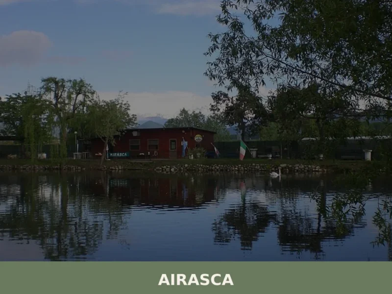
Arriving in Airasca along the provincial road that connects Pinerolo to Turin, the first thing you notice is the bell tower of the parish church of San Bartolomeo, a vertical landmark in a horizontal landscape of cultivated fields and rows of poplars. The municipality, home to 3,842 inhabitants at 257 metres above sea level, occupies […]

Pralormo
Hills
Population 1,852. A hilltop comune marked by its 13th-century castle, a 1930s parish church sheltering Renaissance art, and a medieval tower that once guarded Asti's trade routes.
Baldissero Canavese
Hills
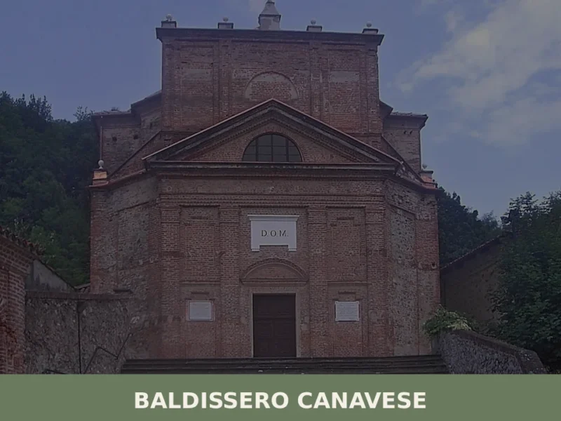
Baldissero Canavese has a population of 515 and stands at 392 metres on the hillside of the Canavese area, in the north-eastern corner of the Province of Turin, a short distance from the Piedmontese regional capital. The village is part of the Canavese settlement system, one of the historically densest areas in the region for […]

Salerano Canavese
Plains
Population 462. A rural comune in Turin province with two documented religious landmarks and a civic identity affirmed through its heraldic symbols.

Prarostino
Mountain
Population 1,230. A foothill comune where partisan memory and valley crossroads define the landscape and village rhythm.
Arguello
Hills
Arguello is a small hilltop comune in the Langhe area of Cuneo province, Piedmont, shaped by centuries of dynastic rivalry and a quiet agricultural tradition.

Volpiano
Plains
3 Baroque churches and a Roman centuriation grid still visible in the fields make Volpiano a rewarding stop in the Canavese between Turin and the Alps.
San Raffaele Cimena
Hills
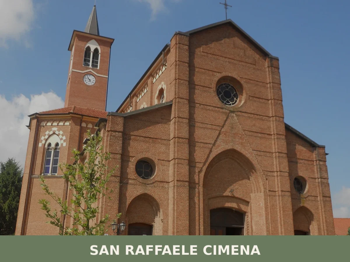
3,159 residents. Medieval settlement with Byzantine foundations, now a suburban village anchored by agricultural heritage and an extraordinary microclimate where tropical plants thrive.

🏡 Know Arola better than we do?
If you’re a local or have been there, your knowledge matters: add what’s missing or fix a detail on this page.