


Dalmine
7 historic hamlets merged into one municipality. Dalmine offers Roman foundations, a fascist-era urban plan and remarkable World War II air-raid shelters.
Dalmine: Seven Hamlets, One River and a Century of Industry
Stand on Piazza Libertà at midday and look south. A 63-metre steel tube rises from the square like a vertical exclamation mark, closing the perspective of the main axis just as its architect intended. Behind it, the directorate building of the old steelworks anchors the entire urban composition — a reminder that in this part of the Po Plain, industry did not merely pass through but actively laid out streets, aligned a church facade and determined where workers would live, shop and shelter. The flat land stretches to every horizon, scored by medieval irrigation canals and by the Brembo river marking the western edge of the municipality, its flow quiet today but its presence constant.
Dalmine village in Lombardy sits roughly 8 kilometres south-west of Bergamo at 207 metres above sea level, and it draws visitors with two things that rarely coexist in one place: a layered religious landscape of five historic parish churches and one of the most atmospheric systems of World War II air-raid shelters open to the public in northern Italy. The municipality counts around 23,742 inhabitants and belongs to the Province of Bergamo, with Saint Joseph as its patron saint.
From Roman Traces to a Company Town: the Making of Dalmine
The story of Dalmine begins not with a single foundation but with a gradual accumulation of settlements. Archaeological finds in the quarter of Sforzatica d’Oleno — the remains of a sacred structure, a funerary altar and inscriptions — point to a Roman-period community of some substance in this part of the plain. The locality of Sabbio carries even earlier documentary weight: a text of 1104 records the existence of a castro de Sabige, and a later monastic inventory from 1251, preserved in the Angelo May library in Bergamo, lists land holdings beginning with the words prima petia terra est in castro de Sabio, confirming that the settlement was a known point of reference for religious institutions operating across the Bergamo plain.
For centuries the territory remained a patchwork of distinct communities. The municipal boundary as it exists today dates only to 1927, when the Italian state merged three previously independent communes — Sabbio Bergamasco, Mariano al Brembo and Sforzatica — together with the industrial hamlet of Dalmine, which had never held its own municipal seat. The result was a new administrative unit made up of seven distinct urban nuclei: Dalmine centre, Brembo, Guzzanica, Mariano, Sabbio, Sforzatica Sant’Andrea and Sforzatica Santa Maria d’Oleno. The coat of arms reflects this composite origin directly. A silver lily on blue recalls Mariano al Brembo and its Marian dedication; a chamois evokes the Camozzi family connected to Sforzatica; a grassy field stands for the fertile agricultural land around Sabbio; and a castle tower represents the defensive structure that once rose in Sforzatica.
The urban layout of the central district carries the clearest imprint of the 1930s. The architect Giovanni Greppi organised the core around two intersecting axes — a north-south artery and an east-west counterpart — meeting at what was then called Piazza Impero, today Piazza Libertà. The spatial logic was deliberate: a Church of San Giuseppe oriented not along the traditional east-west axis but facing the factory directorate building, a Casa del Fascio with its tower on one side, the town hall on the other, and the steelworks closing the southern vista. One contemporary analysis of this arrangement noted that by 1938 the fascist urban ideology had shifted so far that “the fascism is the State, the real power is there” — meaning the party tower, not the civic bell tower, had become the community’s vertical symbol. Today that same piazza, with its central tube monument, reads as a compressed lesson in how political power communicates through urban geometry.
“Nel 1938 le torri littorie non erano più le torri campanarie del Comune. Non stava più lì il simbolo comunitario del potere e dello Stato.” — (“By 1938 the fascist towers were no longer the civic bell towers of the municipality. The communal symbol of power and the State no longer resided there.”)
Towers, Churches and Shelters: the Places That Define Dalmine
Torre Suardi and the Medieval Defensive Network
Adjacent to the civic library stands the Torre Suardi, widely known by the name of the Camozzi family, who owned it from 1787 until 1936, though that popular name is considered inaccurate by local historians. Two further medieval towers survive elsewhere in the municipality: one in Sforzatica and one in Guzzanica. Together they trace the outline of a defensive system that once made this flat terrain legible in terms of territory and jurisdiction. The towers do not dominate dramatic hillside panoramas — they rise from the plain itself, which makes their persistence all the more striking.
Church of Santa Maria d’Oleno, Sforzatica
The parish church of Santa Maria d’Oleno in Sforzatica stands on ground with an exceptionally long religious history. A document from 909 already mentions this place of worship, and the site is thought to overlie traces of an earlier pre-Christian cult connected to the Roman-period settlement. The building was officially consecrated in 1595 by Bishop Giovanni Battista Milani. Architectural traces and floor-level evidence still allow attentive visitors to glimpse the layering of centuries beneath the current fabric, making it arguably the most historically complex religious structure within the municipality.
Church of Sant’Andrea, Sforzatica
Consecrated on 4 April 1754, the parish church of Sant’Andrea was built in the rococo style and contains sculptural works by Antonio Maria Pirovano. It represents the decorative ambition of eighteenth-century religious patronage in this part of Lombardy — a period when the plain’s rural communities were investing in elaborate interior furnishings even as the landscape around them remained agricultural and largely undramatic.
Church of San Michele, Sabbio
The historic church of Sabbio, dedicated to the Archangel Michael and dating to 1754, holds a painted altarpiece by Gian Paolo Cavagna — a Madonna in Trono con Bambino tra san Michele e sant’Alessandro completed in 1590 — alongside an organ associated with the Bossi family, reworked in 1881, and stucco decoration attributed in local sources to craftsmen from Lugano. On the brick campanile, a stone lion of Saint Mark dated 1770 is recorded as the work of sculptor Anton Maria Pirovano from Sforzatica.
The World War II Air-Raid Shelters
Beneath two residential quarters — Garbagni and Leonardo da Vinci — lie twin air-raid shelters constructed during the Second World War. Each consists of two vertical shafts with spiral staircases descending twenty metres underground, connected by a tunnel roughly forty metres long. Rooms at each end served as a communications centre and a medical bay; separate chambers housed ventilation machinery powered by pedal-operated fans known as biciclette. The shelter in the Leonardo da Vinci quarter retains its original ventilation chimneys and sections of the first electrical installation, as well as the remains of no-smoking notices and a single slender stalactite that has formed over the decades. The Garbagni shelter was reopened to the public after the war.
The Flavours of the Brembo Plain
Dalmine sits on flat, well-irrigated agricultural land crossed by branches of the Roggia Serio, the Roggia Morlana and the Roggia Colleonesca — canals with medieval origins that fed the fields of Sabbio, Mariano and Sforzatica for centuries before the industrial era reshaped the local economy. That agricultural substrate still informs what arrives on local tables, even if the municipality today is urban in character. The market and the osterie of the surrounding Bergamo plain draw on the same seasonal produce and cured meats that define the broader culinary tradition of the province.
For the greatest variety of restaurants, cafes and food shops, the town centre around Piazza Libertà and the commercial streets off Viale Marconi offer the most practical base. The university presence — the School of Engineering of the University of Bergamo has its campus here — also means the food offer is lively and less seasonally restricted than in smaller rural centres nearby. A dedicated exploration of Bergamo provincial cuisine, including its celebrated polenta, cold cuts and freshwater fish preparations, is worth planning as a separate excursion into the wider territory.
Planning a Visit to Dalmine
Dalmine is accessible year-round, and its interest does not depend on a particular season. Autumn and spring offer comfortable temperatures for walking the flat streets between the medieval towers and the 1930s civic core. Summer heat on the plain can be intense, but the air-raid shelters — at a constant underground temperature — make for a striking visit precisely in warmer months. If you arrive by car, the A4 Milano-Venezia motorway has a dedicated exit at Dalmine, marked by the monument to the two police officers Luigi D’Andrea and Renato Barborini, whose memorial takes the form of a large steel tube with bullet-hole perforations — a reference to the town’s industrial identity as much as to the event it commemorates.
Train connections link Dalmine to Bergamo in a short journey, making it straightforward to combine a visit here with time in the upper city of Bergamo. Visitors interested in the broader landscape of Bergamo’s villages can extend their itinerary eastward or northward: the hillside communities of Adrara San Martino and Adrara San Rocco offer a strong contrast to Dalmine’s industrial plains, while Bergamo itself anchors the whole province with its upper walled city. Those travelling the broader Lombardy circuit might also consider Adro on the Franciacorta wine route to the west.
For visitors focused specifically on Dalmine, allow at least half a day to walk the 1930s urban core, visit one or more of the parish churches and descend into the air-raid shelters. The Museo permanente del Presepio in the Brembo fraction, inaugurated in 1974 and dedicated to Italian and international nativity art, adds a different register to the visit — particularly relevant in the weeks surrounding Christmas. The University of Bergamo campus in town also hosts the CUS Bergamo sports centre, and residential facilities reflect the town’s dual identity as both a working municipality and an academic hub.
| Departure | Distance | Time |
|---|---|---|
| Bergamo | 8 km | approx. 15 min by car or train |
| Milan | approx. 50 km | approx. 45 min by car (A4 motorway) |
| Brescia | approx. 55 km | approx. 50 min by car (A4 motorway) |
| Adro / Franciacorta | approx. 35 km | approx. 35 min by car |
Frequently asked questions about Dalmine
Come si raggiunge Dalmine in treno o in auto?
In auto, Dalmine si raggiunge dall'autostrada A4 Milano-Venezia, uscita Dalmine, a circa 8 km da Bergamo. In treno, la stazione di Dalmine è servita dalla linea regionale Bergamo-Treviglio; da Bergamo il viaggio dura circa 10 minuti. In autobus, le linee ATB e SAB collegano Dalmine con Bergamo e i comuni limitrofi della pianura bergamasca.
Quando si festeggia il patrono San Giuseppe a Dalmine?
Il patrono di Dalmine è San Giuseppe, la cui festa liturgica cade il 19 marzo. In tale occasione si tengono tradizionalmente celebrazioni religiose nella chiesa parrocchiale principale. Marzo è quindi un periodo interessante per visitare il paese e vivere le tradizioni locali, anche se il clima della pianura padana a quell'epoca può essere ancora fresco e nebbioso.
Esistono percorsi ciclabili nei dintorni di Dalmine?
Sì. Il territorio pianeggiante attorno a Dalmine si presta alla ciclabilità. La pista ciclabile lungo il fiume Brembo, che segna il confine ovest del comune, è fruibile per escursioni nella pianura bergamasca. La rete ciclabile provinciale collega Dalmine a Bergamo e ai comuni vicini come Osio Sotto e Verdellino, rendendola adatta a itinerari di cicloturismo di pianura.
Quanto tempo serve per visitare Dalmine e dove si parcheggia?
Una visita completa a Dalmine, includendo Piazza Libertà, le chiese parrocchiali storiche e i rifugi antiaerei, richiede indicativamente una mezza giornata, o una giornata intera se si aggiungono i dintorni lungo il Brembo. Il comune dispone di aree di parcheggio pubblico nelle vicinanze del centro e di Piazza Libertà. Si consiglia di verificare in anticipo gli orari di apertura dei rifugi antiaerei, che possono richiedere prenotazione.
Ci sono strutture ricettive a Dalmine o nelle immediate vicinanze?
Dalmine offre alcune strutture ricettive tra cui bed & breakfast e piccoli hotel, adatti a chi visita l'area bergamasca. Data la vicinanza a Bergamo (circa 8 km), molti visitatori scelgono di pernottare in città e raggiungere Dalmine in giornata. Nelle campagne circostanti della pianura bergamasca sono presenti agriturismi che offrono ospitalità e prodotti locali tipici della tradizione padana.
📷 Photo Gallery — Dalmine


In Lombardy More villages to discover

Cassano Magnago
Over 21,000 residents and a documented history stretching back to 1152. Cassano Magnago rewards visitors with a medieval castle, four ancient churches and a rich civic past.
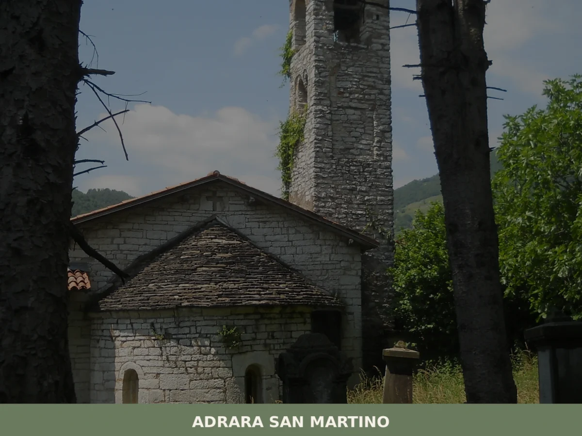
Adrara San Martino
What to see in Adrara San Martino? Discover the 5 must-see attractions of this Lombard village. The complete guide for your visit. Plan your trip!
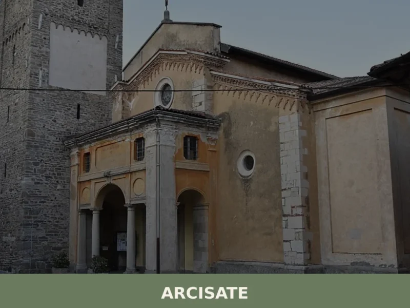
Arcisate
What to see in Arcisate, Italy: Discover Roman history and hillside views at 372 m a.s.l. Explore the village's main church and its unique past.
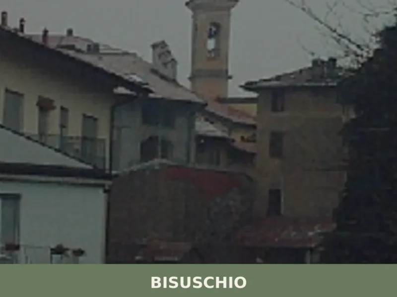
Bisuschio
In Bisuschio, in the province of Varese, economic activity linked to ceramic production developed starting from the 18th century, with local kilns contributing to the manufacture of tableware and bricks for the area. This hillside village, located 370 meters above sea level, offers a view of the Prealpine landscape and nearby lakes. For those wondering […]
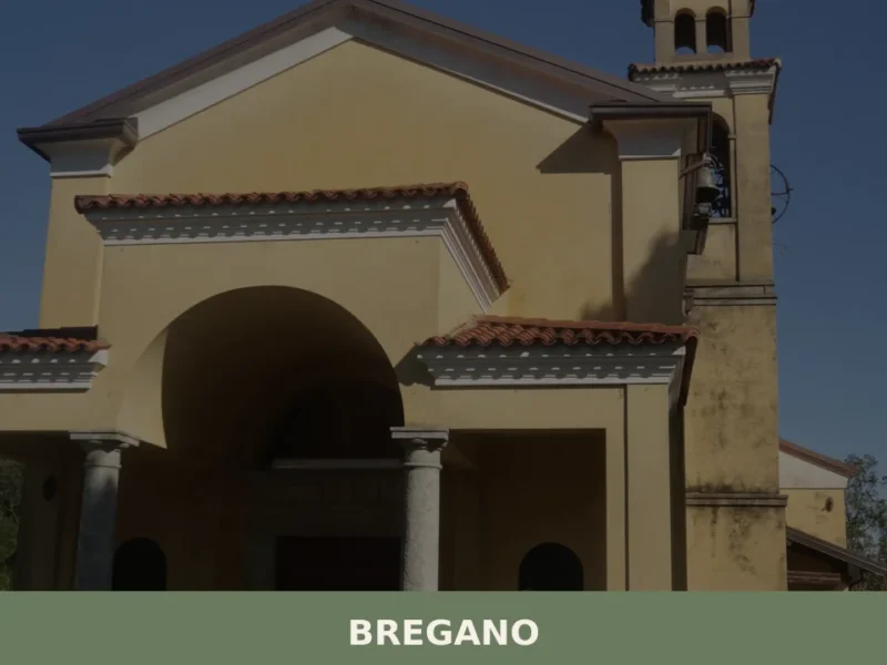
Bregano
With its 824 inhabitants spread across an elevation of 303 metres on the hills between Lake Varese and Campo dei Fiori, Bregano is a municipality in the province of Varese whose documented existence dates back at least to the 13th century, when the settlement appears in the ecclesiastical registers of the Pieve di Brebbia. Asking […]
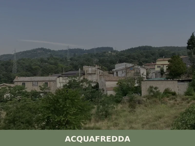
Acquafredda
What to see in Acquafredda, a municipality in the lower Brescian area at 55 m above sea level: the Church of San Biagio, historic farmsteads, fontanili and the traditional cuisine of the Po Plain.
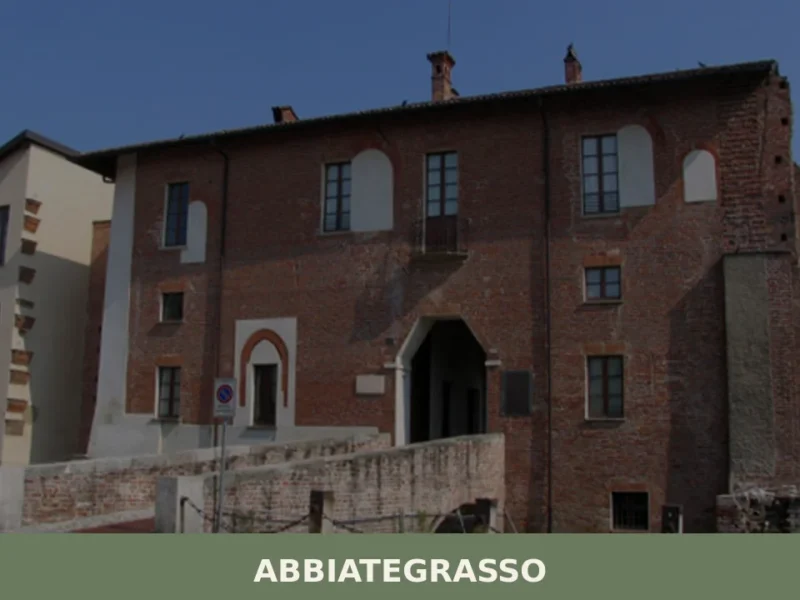
Abbiategrasso
Discover what to see in Abbiategrasso: a Visconti castle, a Renaissance church portico, the Naviglio Grande canal, and the Ticino valley park in Lombardia.
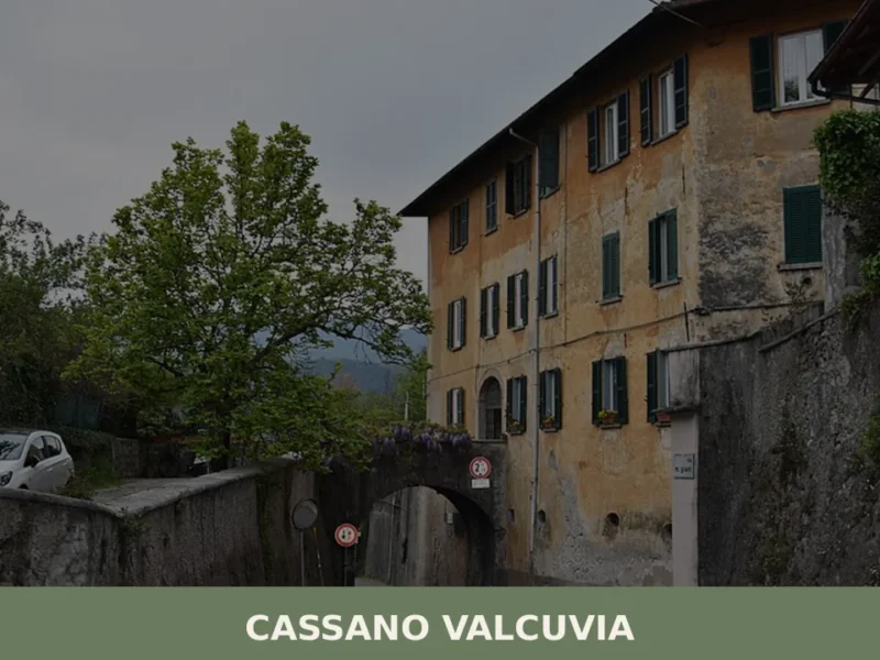
Cassano Valcuvia
What to see in Cassano Valcuvia: discover this village of 660 inhabitants amidst history and nature. Explore its historic center and hillside trails.
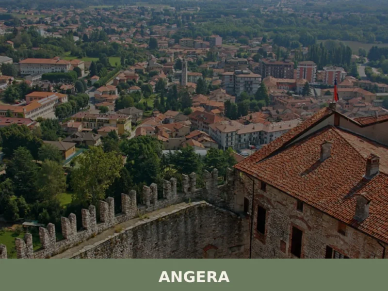
Angera
What to see in Angera: 5 must-see attractions. Discover the Borromea Fortress and the Doll Museum. Book your trip today!
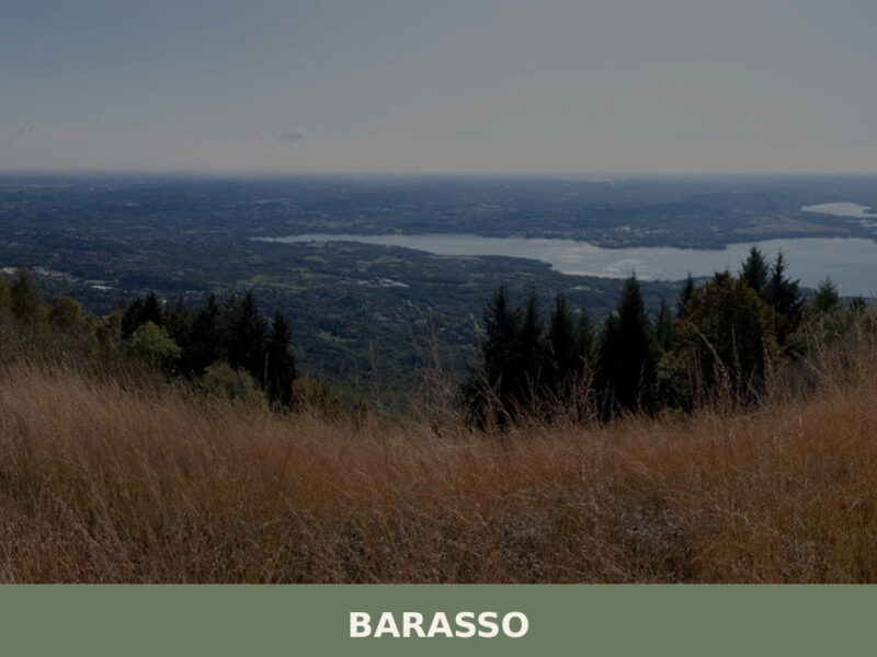
Barasso
Morning light filters through chestnut canopies along Via Roma, casting long shadows across stone walls that have absorbed centuries of Lombard weather. A church bell marks the hour — unhurried, familiar, absorbed by the surrounding green hills above Varese. Barasso, home to roughly 1,710 inhabitants, occupies a quiet slope in the Varesotto prealpine belt, a […]


🏡 Know Dalmine better than we do?
If you’re a local or have been there, your knowledge matters: add what’s missing or fix a detail on this page.