


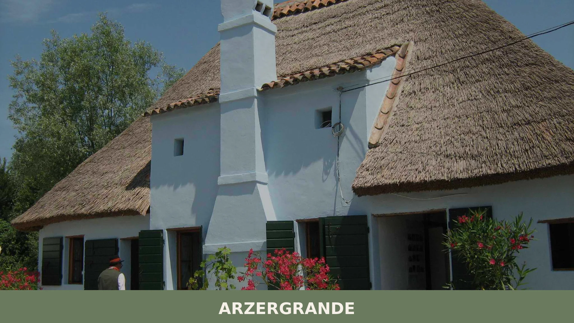

Arzergrande is a small municipality in the Padova plain, Veneto, with around 4,850 inhabitants and a history stretching back to Venetic settlements of around 1200 BC.
Discover Arzergrande
Arzergrande is a small municipality in the province of Padova, Veneto, covering roughly 13.63 square kilometres at an elevation of about 6 metres above sea level and home to some 4,850 residents known as arzarani. Situated on the flat Po Valley plain south-east of Padova, the commune’s territory was once threaded by ancient Roman roads and shaped by the shifting channels of the Medoacus — the river the modern world calls the Brenta — whose branches once reached the Adriatic across this very land.
Arzergrande village in Veneto carries a layered past that reaches back well before the Roman era, rooted in a stretch of low-lying ground where Venetic peoples, Roman engineers, and medieval waterways each left their mark in turn. The fraction of Vallonga, identified in ancient sources as Portus Aedro or Mansio Eurone, stands as a quiet reminder that this unassuming plain once served as a busy node where road traffic and river commerce met, funnelling goods between the Via Popilia and Padova along the Medoacus Minor.
Arzergrande village in Veneto: history from ancient settlements to modern times
Arzergrande’s history stretches back to around 1200 B.C., when the territory was home to the Enetoi-Eneti, the ancient Venetic people whose presence in the Saccisica area is confirmed by archaeological finds including inscriptions in Venetic script, most likely connected to funerary practices.
From the third century B.C. onward, the Eneti developed a relationship of mutual collaboration with Rome, which was formalised around 49 B.C. when Julius Caesar’s lex Roscia extended Roman citizenship to the Venetic people. The Roman period brought substantial infrastructure to the region: the Via Annia (around 153 B.C.), the Via Postumia (around 148 B.C.), and the Via Popilia (around 132 B.C.) all crossed or touched this territory, with the Via Popilia linking Adria to Aquileia by way of Vallonga. By the first century A.D., Vallonga — recorded as the ancient Portus Aedro or Mansio Eurone — had become a significant road and river hub, where goods were redistributed along the Via Popilia toward Padova via the Medoacus Minor waterway.
Vallonga and the Roman Road: Arzergrande’s Key Sites
Arzergrande’s most historically significant place is the frazione of Vallonga, a Roman junction where road and river traffic once converged; the raised profile of the current Strada Provinciale n. 4, running west to east across the municipality, still preserves the physical trace of an ancient embankment.
Vallonga
During the first century CE, Vallonga functioned as a node on the via Popilia — the consular road linking Adria to Aquileia. The site does not preserve standing Roman structures mentioned in the sources, but inscriptions in Venetic script found in the Saccisica area, likely funerary in nature, attest to human settlement here from around 1200 BCE.
Flavours of Arzergrande and the Padova Plain
The territory around Arzergrande sits within a productive agricultural province where several certified products carry official recognition, most notably Asparago di Badoere IGP, a white asparagus from the Treviso area, alongside dairy staples such as Asiago DOP, Grana Padano DOP and Montasio DOP, and the Insalata di Lusia IGP, a delicate lettuce cultivated in the nearby Polesine area. These are provincial and regional products: none can be claimed as an exclusive speciality of this small comune. While Asparago di Badoere IGP, Grana Padano DOP and Insalata di Lusia IGP are characteristic of the surrounding lowland plain, Asiago DOP and Montasio DOP are mountain and upland cheeses from the Vicenza and Trento highlands and from Friuli respectively, and are not typical of the flat Padova plain where Arzergrande is located.
The area also falls within a rich wine landscape. The nearby Colli Euganei hills produce wines under both DOCG and DOC designations, including the aromatic Colli Euganei Fior d’Arancio DOCG. Closer still, the Bagnoli di Sopra / Bagnoli DOC and the singular Bagnoli Friularo / Friularo di Bagnoli DOCG — built on the native Raboso Piave grape — come from vineyards just a short distance to the south. The Corti Benedettine del Padovano DOC and Merlara DOC round out a local wine geography worth exploring alongside any visit to the Saccisica plain.
Among regional traditional preparations, the Veneto territory also maintains a long tradition of artisan liqueurs and infusions — including liquore all’uovo and liquore fragolino — catalogued as PAT products, offering a convivial note to end a meal in any agriturismo of the area.
Getting to Arzergrande and Planning Your Stay
Arzergrande is most easily reached by car along the strada provinciale n. 4, which crosses the municipal territory from west to east on a raised embankment — a road whose very profile still echoes the ancient waterways of the Brenta delta — and lies south-east of Padova, making the provincial capital the natural gateway for visitors arriving by rail or air. The flat, open landscape of the Saccisica plain makes cycling and slow travel particularly pleasant from spring through early autumn, when the light is long and the agricultural countryside is at its most vivid.
Day-trippers based in Abano Terme — the celebrated spa town in the Euganean foothills — can reach Arzergrande in well under half an hour by car, making it a logical pairing with a thermal-wellness stay. To the south, the quiet comune of Agna lies in the same low-lying plain and can be combined into a half-day circuit through the Saccisica.
| Departure | Distance | Time |
|---|---|---|
| Padova | approx. 20 km | approx. 20 min |
| Venezia | approx. 45 km | approx. 45 min |
| Abano Terme | approx. 25 km | approx. 25 min |
Arzergrande has a CAP of 35020 and an official municipal website at www.comune.arzergrande.pd.it where up-to-date local information can be found before travelling.
Frequently asked questions about Arzergrande
What is the best time to visit Arzergrande?
Spring and early autumn offer the most pleasant weather on the Po Valley plain, with mild temperatures ideal for exploring the countryside and cycling routes. The feast of the Annunciazione, Arzergrande's patron saint celebration, occurs on March 25th and provides a cultural highlight. Summer can be humid in this low-lying region, while winter brings fog typical of the Venetian plain. Plan visits accordingly for comfortable outdoor activities.
How do I reach Arzergrande by car from Padova?
Arzergrande lies southeast of Padova, approximately 20 kilometres away. From Padova, follow regional roads towards the Po Valley plain. The village is accessible via the provincial road network connecting to the Padova province road system. No major motorway directly serves the village; use the closest exits on the A4 or A13 motorways and navigate via provincial roads. Allow 25–30 minutes drive time from Padova city centre.
What historical sites should I visit in Arzergrande?
Vallonga, a fraction of Arzergrande, preserves the legacy of Portus Aedro or Mansio Eurone, an ancient Roman settlement and waystation along the Via Popilia. This site marks where Roman roads intersected with river commerce on the Medoacus Minor (modern Brenta). The location reflects Arzergrande's role as a crucial trade node in Roman times. Local exploration reveals the layered history from Venetic times through medieval waterway engineering.
How long should I plan to spend in Arzergrande?
A half-day visit suffices for exploring the village and its immediate historical landmarks such as Vallonga. For cycling enthusiasts exploring the Po Valley's documented routes or visiting surrounding agriturismos and rural attractions, a full day or overnight stay is recommended. The small population of approximately 4,850 residents means Arzergrande serves well as a quiet base for exploring the broader Padova plain countryside and its cycling network.
📷 Photo Gallery — Arzergrande


In Veneto More villages to discover
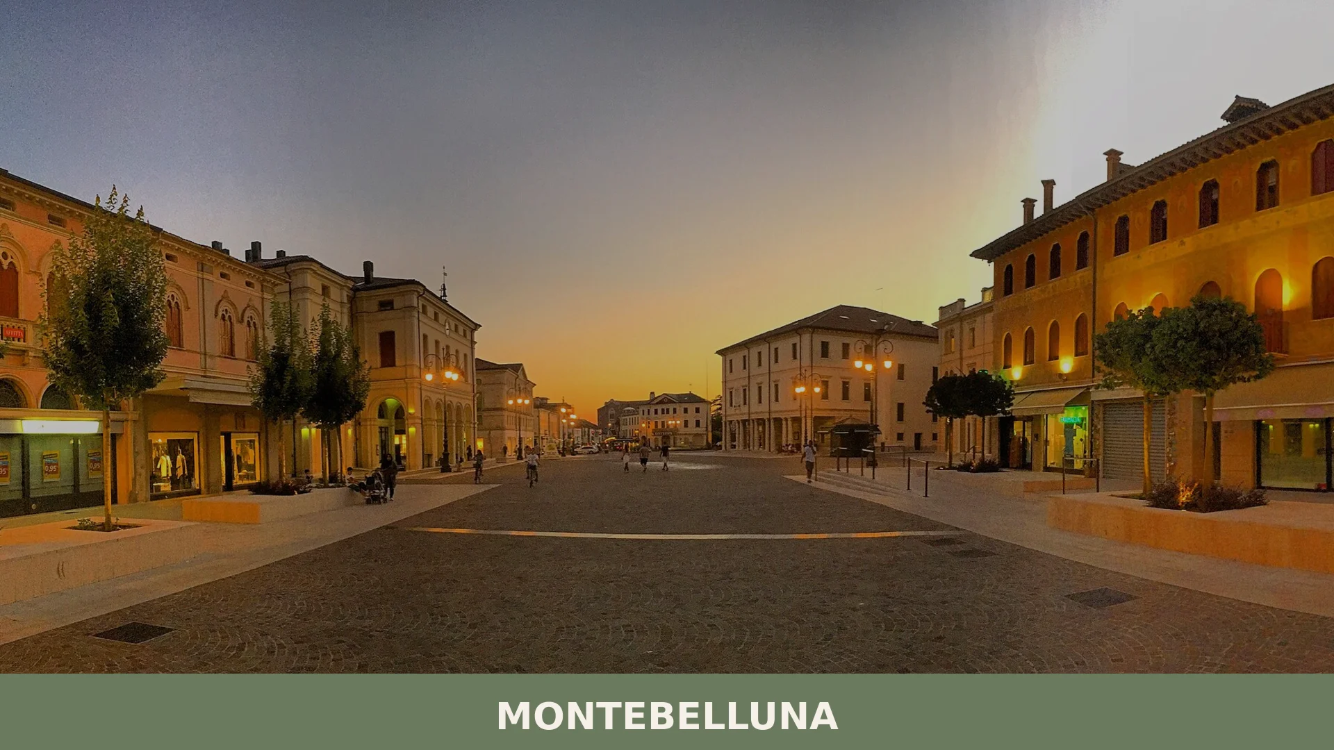
Montebelluna
 Plains
Montebelluna is a historically layered town of around 31,000 inhabitants in the province of Treviso, Veneto, strategically positioned at the mouth of the Piave valley where plain meets pre-Alpine foot

Monfumo
 Hills
Hills
Home to 1,292 people and a centuries-old rivalry between noble families, Monfumo rewards visitors with hill landscapes, local produce and an unhurried pace.
Erbezzo
 Mountain
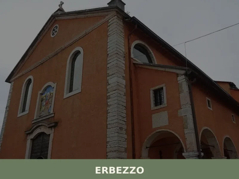
At 1,118 metres above sea level, on the eastern edge of the Veronese Lessinia, Erbezzo has 756 inhabitants spread between the municipal centre and a handful of hamlets scattered across the pastures. It is the highest municipality in the province of Verona and one of the few where the pastoral economy has never fully given […]
Selva di Progno
Hills
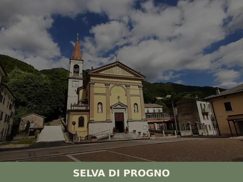
At 570 metres above sea level, where the Val d’Illasi narrows and gives way to the eastern Lessinia plateau, Selva di Progno has 923 inhabitants spread between the main settlement and the scattered hamlets on the surrounding slopes. The municipality belongs to the Comunità Montana della Lessinia and preserves in its place names and local […]
Cinto Caomaggiore
Plains
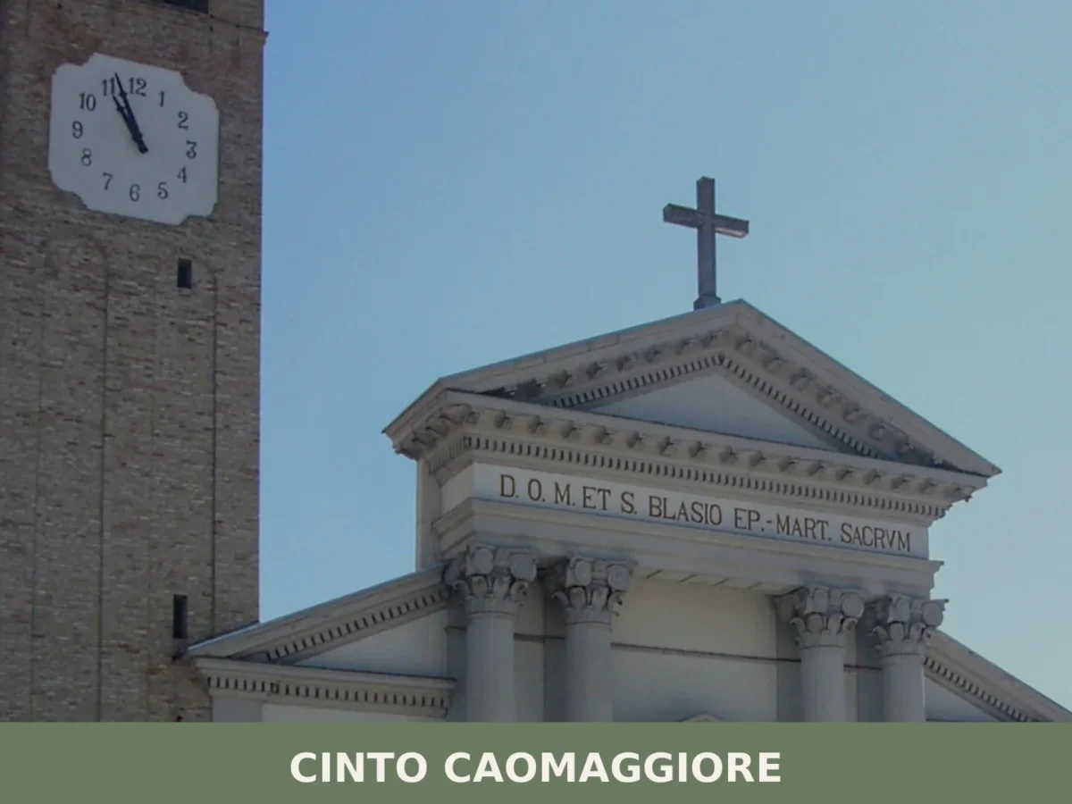
Cinto Caomaggiore is a small comune on the eastern Veneto plain, where Neolithic greenstone axes, Roman farmsteads, and flooded former quarries now thriving as a major heronry trace thousands of years
Vicenza
Plains
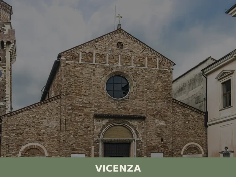
Village of Vicenza: Explore 1 architectural masterpiece, the Olympic Theatre, and taste traditional baccalà. Plan your Italy trip now!
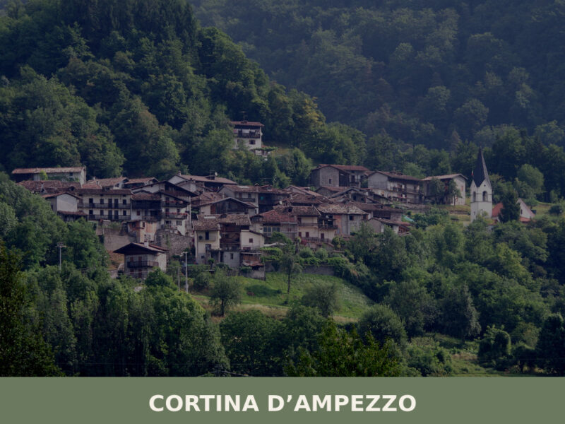
Cortina d’Ampezzo
Mountain
A complete guide to what to see in Cortina d'Ampezzo — from Dolomite peaks and WWI tunnels to Ladin cuisine and centuries-old communal traditions.
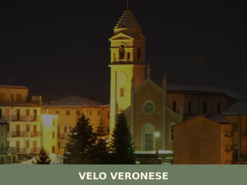
Velo Veronese
Mountain
At 1,087 metres above sea level, on the eastern slope of the Lessinia range in the Verona province, Velo Veronese has 770 inhabitants spread between its central nucleus and the scattered contrade (hamlets) across the plateau. Anyone wondering what to see in Velo Veronese should know that this municipality is the main gateway to the […]

Sommacampagna
Plains
Sommacampagna offers 3 DOC wine appellations and two landmark Risorgimento battle sites on the Custoza morainic hills, just 12 km from Verona.
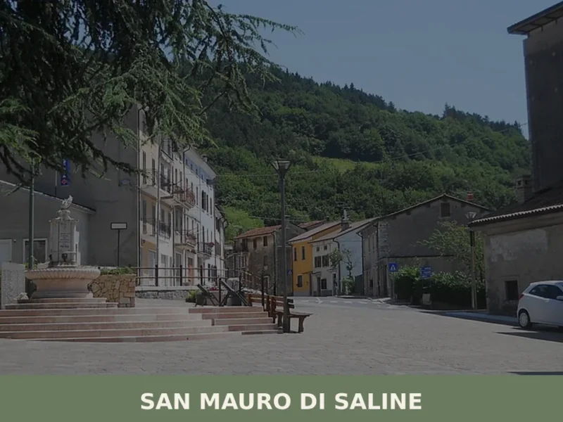
San Mauro di Saline
Mountain
At 804 metres above sea level, on the eastern slope of the Veronese Lessini Mountains, San Mauro di Saline has a current population of 558 inhabitants spread between the municipal centre and the scattered hamlets along the pastures. The village’s name derives from the saline — the brackish water pools that historically surfaced in this […]






🏡 Know Arzergrande better than we do?
If you’re a local or have been there, your knowledge matters: add what’s missing or fix a detail on this page.