


Scarmagno
Population 796. A small Piedmontese comune where 10th-century stone chapels stand within sight of the automated Olivetti plant that once produced 200,000 computers annually.
Scarmagno: From Medieval Sanctuary to Industrial Pioneer in the Canavese
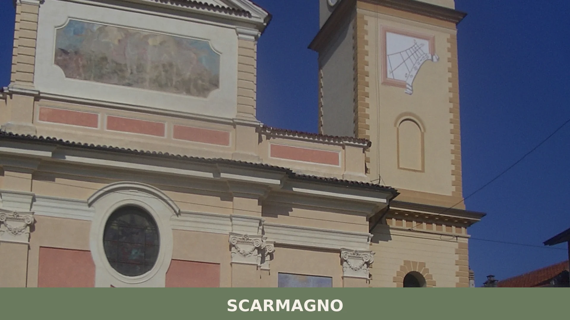
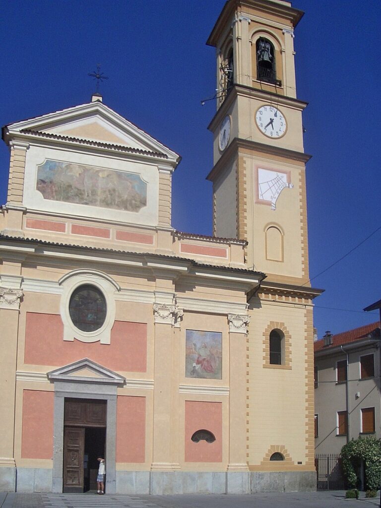
The bell tower of the parish church of San Michele Arcangelo rises above a flat agricultural landscape dotted with industrial sheds and farmhouses—a visual collision of epochs that defines Scarmagno. Stone walls built for medieval prayer share the horizon with the prefabricated reinforced-concrete structures of one of Italy’s most revolutionary manufacturing plants. This dual inheritance, stretching from the 10th century to the post-war boom, gives the village its peculiar identity.
Scarmagno village in Piedmont lies in the Turin metropolitan area, in the Canavese region at 278 metres above sea level. With fewer than 800 residents, it occupies a quiet corner of the flat moraine belt south of Ivrea, where two principal draws await visitors: medieval chapels linked to ancient pilgrimage routes, and the substantial industrial heritage of the Olivetti era—a factory complex that once transformed the regional economy.
Medieval Foundations and Industrial Transformation
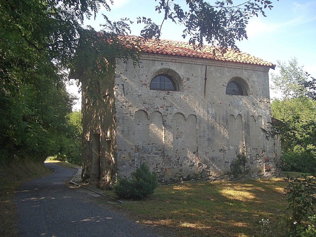
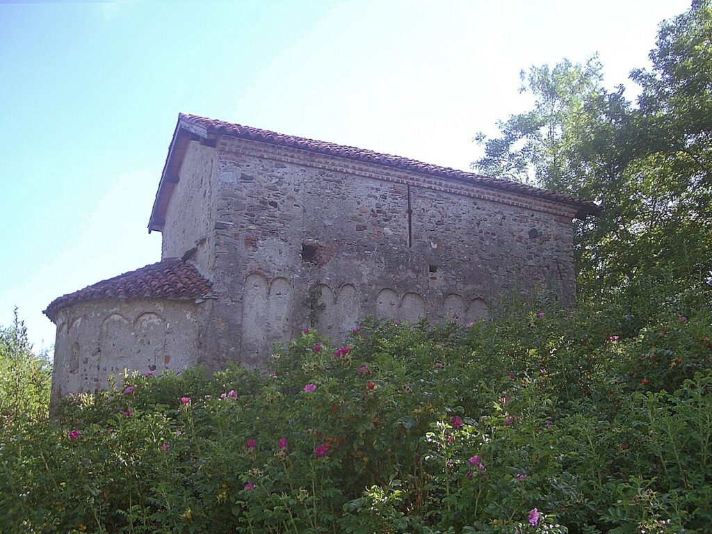
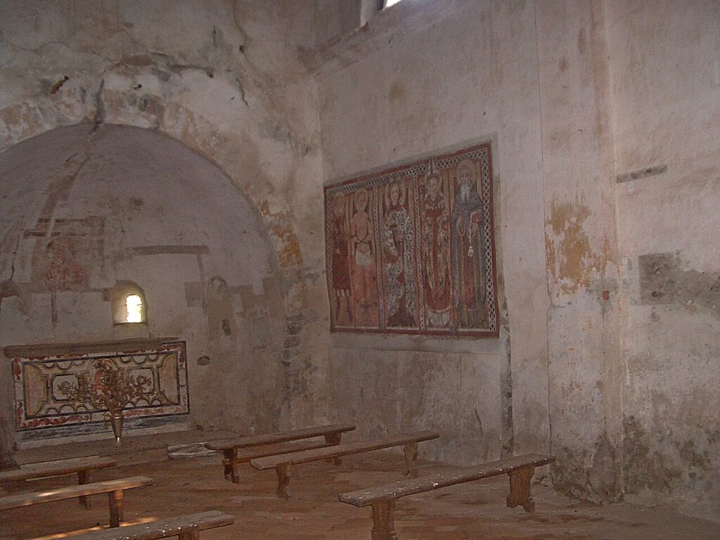
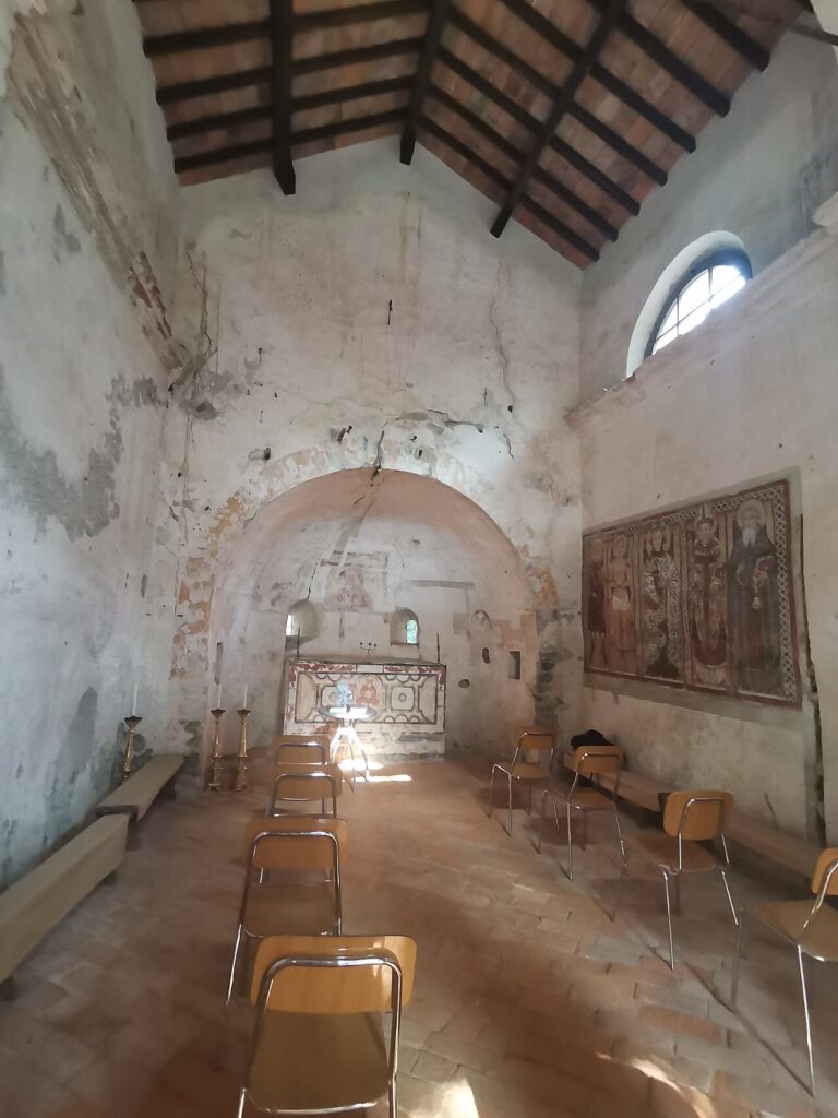
The earliest documented landmark is the Church of Sant’Eusebio al Masero, built in the late 10th century. Its most celebrated treasure is a fresco dated 1424, attributed to Domenico della Marca of Ancona. Since 2010, this church has formed part of the Canavese stretch of the Via Francigena, the medieval pilgrimage route toward Rome, linking Scarmagno to a continental spiritual network that has endured for over a thousand years.
Until the 1960s, the village economy rested entirely on agriculture—grain, fruit and chestnuts grown in the soft moraine soil. Mid-decade, the comune accepted a proposal from Olivetti to establish a new manufacturing facility in the flat fields outside the village. The company constructed a sophisticated production complex: first the long covered structure known as Capannone-A, then modular prefabricated concrete buildings (capannoni B, C, D, E), a small timber laboratory building for radiofrequency testing, three company canteens, a library and an infirmary. During its joint venture with the American firm AT&T, this automated facility produced up to 200,000 personal computers annually—an extraordinary industrial operation in rural Piedmont. When Olivetti later faced crisis, the village economy contracted sharply. Yet in 2004, a Censis analysis ranked Scarmagno second among Italian municipalities for per-capita income, a measure of the residual wealth the industrial decades had accumulated.
From subsistence farming to 200,000 computers a year: Scarmagno’s leap into modernity occurred within the span of a single generation, reshaping the village without erasing the medieval churches that still anchor its spiritual geography.
Churches and Spiritual Landmarks
Parish Church of San Michele Arcangelo
Completed in 1815, this stone church serves as the primary place of worship and reflects early 19th-century Piedmontese ecclesiastical design. San Michele is the village’s patron saint, celebrated on 29 September. The church occupies a central position in Scarmagno’s civic and religious life, though it bears the architectural language of its era rather than the medieval richness found in older chapels.
Church of Sant’Eusebio al Masero
This rural sanctuary stands at the heart of Scarmagno’s spiritual identity. Built during the late 10th century, it originally served pilgrims and local faithful in the Masero fraction. Its 1424 fresco represents a significant artistic intervention during the late medieval period; the attribution to Domenico della Marca connects the village to Umbrian-Marchean artistic traditions. The church’s integration into the Via Francigena network since 2010 has restored it to its original role as a waypoint for those undertaking long-distance pilgrimage on foot.
Chapel of Santa Marta
This modest chapel preserves the local religious landscape that extends beyond the two main parish churches. Santa Marta exemplifies the scattered devotional architecture common in the Canavese, where small rural sanctuaries once served agricultural communities separated by fields and scattered dwellings.
Other Religious Sites
The Chapel of the Nativity of Mary and the Chapel of Maria Ausiliatrice (in the Masero fraction), together with the Church of San Giovanni Battista (in Bessolo), form a dispersed network of places of worship reflecting centuries of local faith and community consolidation across the territory’s distinct hamlets.
Territory and Natural Heritage
Scarmagno occupies a portion of the Ivrea moraine belt, a landscape shaped by glacial activity thousands of years ago. The Marsh of Romano Canavese, partially within village territory, was recognized in 2009 as a Community Interest Site (code IT1110064). This wetland habitat preserves biodiversity characteristic of humid moraine depressions and offers a natural counterpoint to the village’s agricultural and industrial zones. An additional Protected Area designation (code IT1110047) covers the Scarmagno–Torre Canavese moraine formation, underlining the geological distinctiveness of the region. The A5 motorway (Turin–Aosta) runs along the eastern edge of the village at mid-slope, and the railway station at Strambino, roughly 4 kilometres away, provides connections to both Turin and Aosta with hourly service.
Local Food and Agricultural Traditions
The surrounding Canavese and Turin provinces produce several Protected Designation of Origin (PDO) and Protected Geographical Indication (PGI) products. The Nocciola Piemonte (PGI)—Piedmontese hazelnut—represents the region’s confectionery heritage; Toma Piemontese (DOP), a semi-hard cow’s milk cheese, and Salamini Italiani alla Cacciatora (DOP), a cured meat speciality, are mainstays of local tables. The village’s immediate landscape, though now divided between agricultural fields and industrial sites, continues the Piedmontese tradition of small-scale fruit and vegetable cultivation.
Planning Your Visit
Scarmagno is best reached by car from Turin or Ivrea, or by rail via the Strambino station. The village sits comfortably within a day-trip radius of major centres and pairs well with visits to nearby Canavese towns such as Perosa Canavese, or the broader heritage of the Ivrea moraine zone. Spring and autumn offer the mildest climate; summers can be warm and humid in the plain. The village is small and can be explored on foot in an afternoon—churches, fractions and local streets reveal themselves gradually rather than as a concentrated tourist itinerary.
| Departure Point | Distance | Approximate Travel Time |
|---|---|---|
| Turin city centre | 50 km | 50–60 minutes by car |
| Ivrea | 15 km | 20 minutes by car |
| Strambino railway station | 4 km | 5–8 minutes by car or taxi |
Visitors with an interest in industrial archaeology will find the Olivetti plant complex and its surrounding administrative infrastructure a compelling open-air narrative of 20th-century manufacturing ambition and decline. Those drawn to medieval spirituality and the Via Francigena pilgrimage tradition should allow time for Sant’Eusebio al Masero and the surrounding chapels. The village’s festival honouring its patron saint, San Michele, occurs on 29 September and brings local traditions into public view.
Frequently asked questions about Scarmagno
What is the best time to visit Scarmagno?
September 29th marks the Feast of San Michele (Saint Michael), the village patron saint, featuring local celebrations. Late spring through early autumn offers pleasant weather for exploring medieval churches and the surrounding Canavese countryside. The flat moraine landscape is accessible year-round, though winter can be wet in the Turin metropolitan area. The quieter shoulder seasons provide authentic encounters with this small community of 796 residents.
How do I reach Scarmagno from Turin?
Scarmagno lies in the Canavese region, approximately 50 kilometres north of Turin. By car, take the motorway toward Ivrea and exit toward the Canavese towns. The nearest railway station is at Ivrea (about 15 km away), connected to Turin's main stations. Local buses service the area from Ivrea. The village sits on flat moraine terrain south of Ivrea, making it accessible by multiple transport modes.
How long should I spend visiting Scarmagno?
A half-day visit suffices for the principal landmarks: the Church of Sant'Eusebio al Masero (10th century, with its celebrated 1424 fresco) and the Parish Church of San Michele Arcangelo. Those interested in Olivetti industrial heritage and medieval pilgrimage routes may extend to a full day. The village's modest size and agricultural character reward leisurely exploration rather than rushed touring.
Is Scarmagno part of a pilgrimage route?
Yes. Since 2010, Scarmagno has been incorporated into the Canavese section of the Via Francigena, the historic pilgrimage route toward Rome. The Church of Sant'Eusebio al Masero, built in the late 10th century, serves as a spiritual landmark along this ancient path. Pilgrims and heritage walkers use documented stretches of the route connecting medieval chapels throughout the region.
What industrial heritage can I explore in Scarmagno?
Scarmagno contains substantial remains of the Olivetti manufacturing complex, a revolutionary post-war factory that transformed the regional economy. The village landscape juxtaposes medieval stone church architecture with prefabricated concrete industrial structures from the mid-20th century boom. Visitors interested in Italian industrial design and economic history will find this dual heritage visually distinctive and historically significant within the Turin metropolitan context.
📷 Photo Gallery — Scarmagno

In Piedmont More villages to discover

Beinasco
Beinasco traces its roots to a Roman frontier post. Discover how this small town survived plague, warfare and transformation to anchor modern metropolitan Turin.
Scalenghe
A comune of 3,195 residents where centuries-old churches meet a landscape shaped by cattle and grain. Medieval roots and modern farming define this territorial landmark.
Prali
Prali sits at roughly 1,400 metres above sea level in the Germanasca Valley, one of the Waldensian Valleys of the Piedmontese Alps, about 72 kilometres south-west of Turin. With a registered population of 252 inhabitants, it is one of the smaller comuni in the Metropolitan City of Turin — and until 1937 it was officially […]
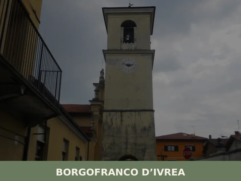
Borgofranco d’Ivrea
Discover what to see in Borgofranco d'Ivrea: medieval street grid, Serra d'Ivrea moraine, Canavese food and practical travel tips for this Piedmont village.
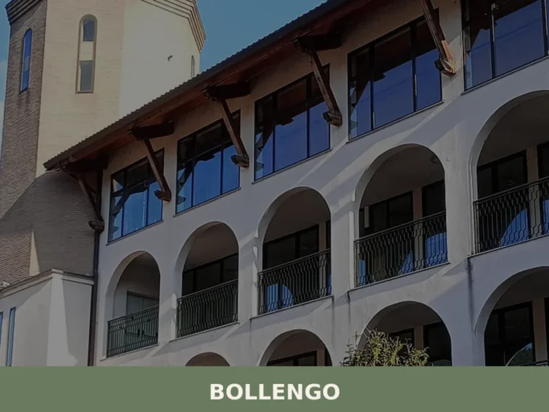
Bollengo
Discover what to see in Bollengo, a 2,089-resident comune in the Canavese area of Piemonte: morainic landscapes, Erbaluce DOCG wines, and rural architecture.
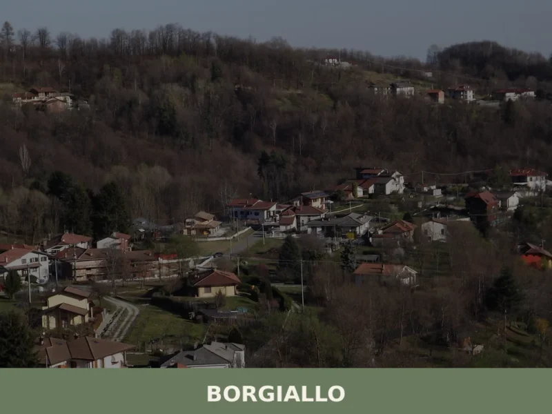
Borgiallo
Borgiallo has 579 inhabitants and sits at 540 metres above sea level on the hills of the Valle Sacra, in the province of Turin. Travellers who take the road climbing from Castellamonte towards the Canavese uplands find a compact settlement of stone and brick houses that follow the line of the ridge. Understanding what to […]

Rocca Canavese
Population 1,718. A fortified valley settlement with castle ruins, 11th-century religious architecture and a landscape of green hills rimmed by the Malone torrent.
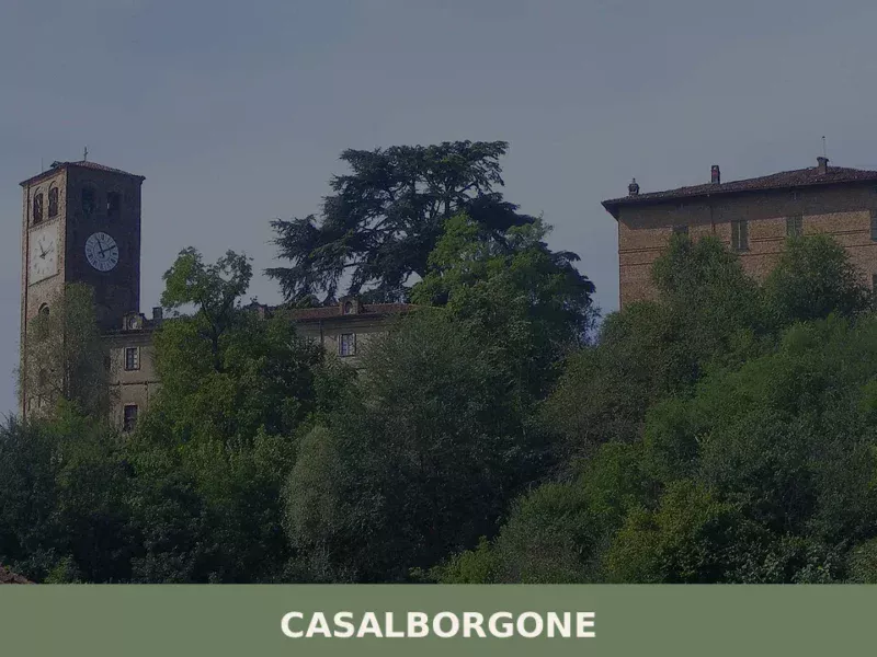
Casalborgone
Scopri Casalborgone, affascinante borgo storico del Piemonte: storia, tradizioni e paesaggi mozzafiato nel cuore del Monferrato.
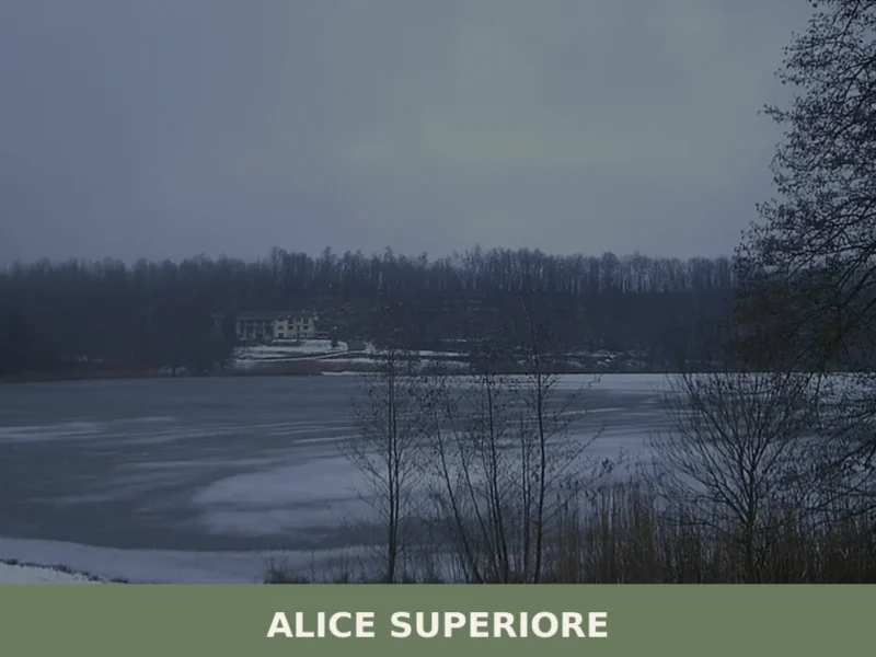
Alice Superiore
Alice Superiore sits at 610 metres above sea level in the Chiusella Valley, a lateral branch of the Canavese district within the Metropolitan City of Torino. Home to 711 inhabitants, the village occupies a stretch of sloping terrain where chestnut woods give way to Alpine pasture. For anyone researching what to see in Alice Superiore, […]
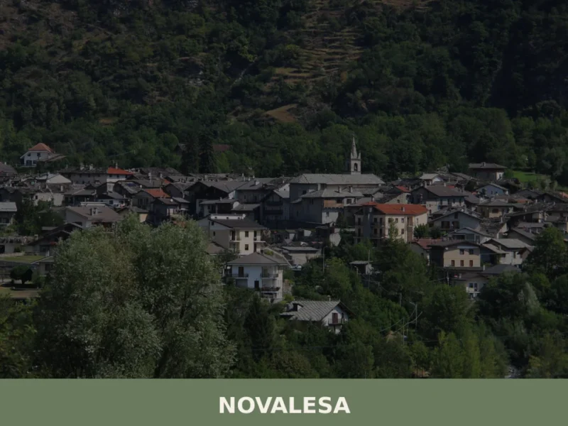
Novalesa
Scopri Novalesa, affascinante borgo medievale del Piemonte: storia, abbazia e paesaggi mozzafiato in Valle di Susa. Visita questo gioiello nascosto!


🏡 Know Scarmagno better than we do?
If you’re a local or have been there, your knowledge matters: add what’s missing or fix a detail on this page.