



Briatico is a coastal Calabrian municipality in the province of Vibo Valentia, facing the Gulf of Sant’Eufemia on the Costa degli Dei, with a documented history stretching back to a twelfth-century No
Discover Briatico
Briatico is a coastal municipality in the province of Vibo Valentia, Calabria, home to around 3,600 residents and covering roughly 27.75 square kilometres along the stretch of shoreline known as the Costa degli Dei, facing the Gulf of Sant’Eufemia at an elevation of 51 metres above sea level. Its documented history reaches back to the twelfth century, when Ruggero il Normanno referenced a settlement called Euriatikon in a bull concerning the diocese of Mileto — a name that reappears in ten parchments compiled between 1130 and 1271, while the toponym Briatico occurs alongside Euriatikon in thirteenth-century records as well. Tradition credits the Locrians with the original foundation, during their passage towards Hipponion.
Centuries of feudal transfers, a catastrophic earthquake in 1783 that razed the old hilltop centre to the ground, and steady waves of emigration have all left their mark on this community — yet the sea, the local produce, and a resilient sense of place endure. Visitors discovering Briatico village in Calabria find a settlement rebuilt on a rational grid after the 1783 disaster, a coastline prized for bathing, and a museum dedicated to the emigration story that defined so many families here.
Briatico village in Calabria: history from Norman records to modern times
Briatico is a Calabrian coastal settlement whose documented history reaches back to at least the twelfth century, when Ruggero il Normanno mentioned a small centre called Euriatikon in a bull concerning the diocese of Mileto; the same name then recurs in ten parchments compiled between 1130 and 1271, while the toponym Briatico also appears in thirteenth-century documents alongside Euriatikon. Tradition attributes the original foundation to the Locrians, during their passage to Hipponion. By 1276 the territory of Euriatikon stretched from the river Trainiti to the river Potame, encompassing twenty-two borgate.
Three devastating earthquakes left a lasting mark on the settlement. The tremors of 1638 and of November 1659 caused serious damage to buildings, but the earthquake of 5 February 1783 razed the town entirely, claiming innumerable lives. On 4 April 1783 the 925 survivors gathered on the beach near the coastal tower known as La Rocchetta; at an assembly presided over by Luigi Lieto, judge of the city, they resolved to rebuild on the contrada S. Giovanni, property of Duke Ettore Maria Pignatelli. The duke cleared vineyards to free the land for construction, commissioned eight barracks for the poorest families, and supplied building materials. Engineers laid out the new town on an orthogonal plan with its corners oriented toward the cardinal points, a configuration intended to reduce the impact of future seismic events. Briatico subsequently became the chief town of a district in 1812, extending jurisdiction over Triparni, Vena Superiore, and later Zungri; the district was suppressed on 30 March 1890. A further violent earthquake in 1905 again caused damage and hardship.
Ruins, towers and recovered art: the historic fabric of Briatico
Briatico’s main sites include the ruins of a medieval castle and an older hilltop settlement, two surviving coastal watchtowers, a Dominican convent founded in 1498, a Norman-era chapel, and a parish church that now houses artworks salvaged from buildings destroyed by the 1783 earthquake.
Briatico Vecchio and the Castello medievale
Before the catastrophic earthquake of 5 February 1783 levelled the town, the original settlement stood on a hill to the right of the river Murria. At its height the centre counted twelve churches and three convents. What remains today are the ruins of the medieval castle, built on the orders of Ferdinando Bisbal, and scattered vestiges of the surrounding urban fabric. The site is now known as Briatico Vecchio.
La Rocchetta and Torre Sant’Irene
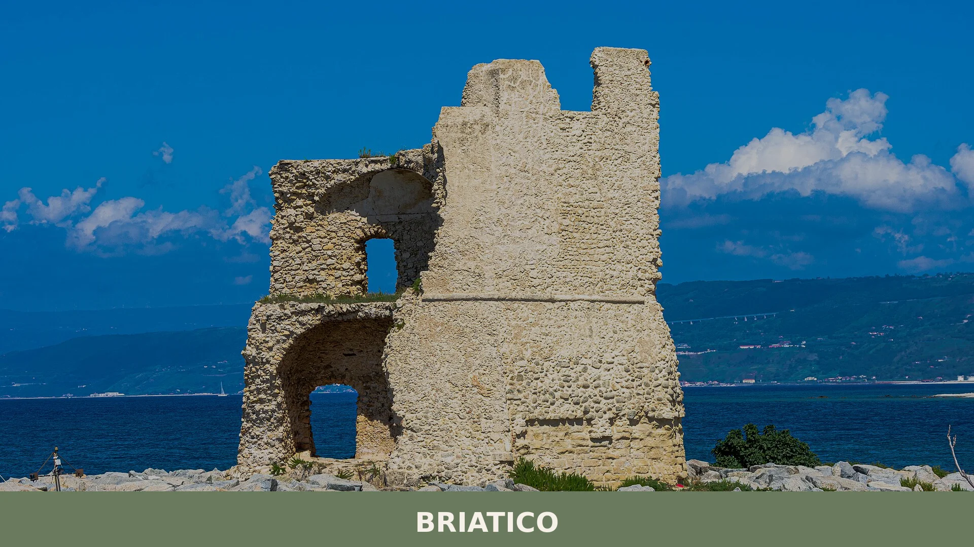
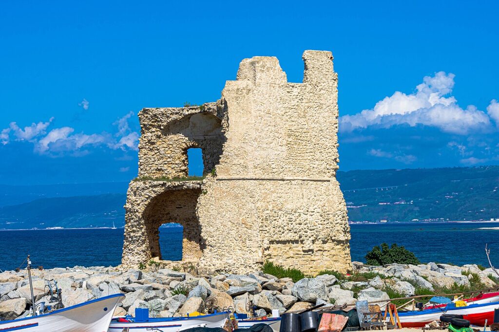
Two of the original five coastal defence towers survive on the shoreline. La Rocchetta is a tall pentagonal watchtower whose origins are attributed to the Greeks; it was subsequently rebuilt by the Romans and reworked again in the medieval period. Torre Sant’Irene was erected by the Spanish viceregal government as a lookout against Barbary raids along the coast.
Convento dei Padri Domenicani and the Norman chapel
The Dominican friary, founded in 1498, and the small church of Santa Maria del Franco, which dates to the Norman period (eleventh century), were both destroyed in the 1783 earthquake. Only fragmentary remains of each structure survive.
The Chiesa Matrice and its salvaged works
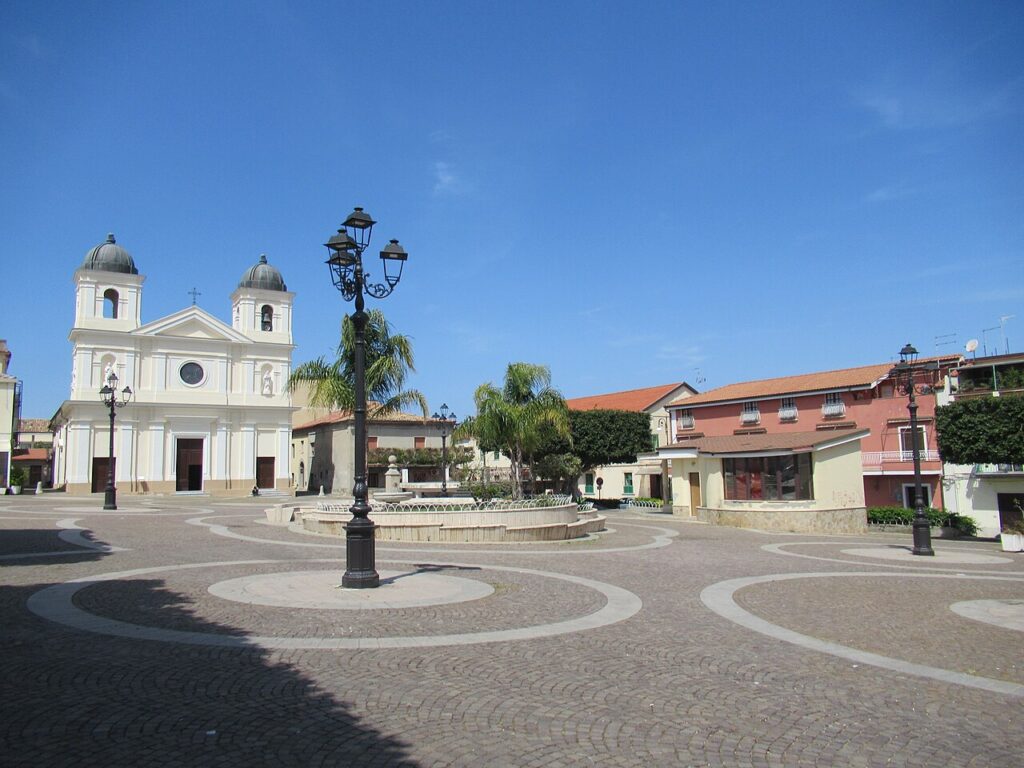
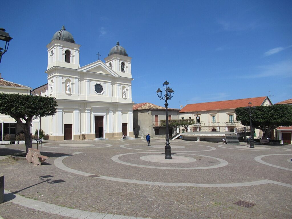
The parish church, dedicated to the patron saint Nicola, now serves as the repository for artworks recovered from buildings that did not survive the earthquake. Among the pieces kept here is a canvas depicting San Nicola, painted in the seventeenth century by Tommaso di Florio, a painter from Vibo. Also preserved in the church is a crucifix dating to the fifteenth century, transferred from the ruined Duomo di San Nicola, and the statue of the Madonna Immacolata — a seventeenth-century Spanish work, formerly associated with the destroyed church of Santa Maria del Franco.
The valley of the Murria and the cave hermitages
Along the valley carved by the river Murria, a series of medieval cave hermitages cut into the rock have survived. Several of these are locally known as the “Grotte delle fate” (Fairies’ Caves).
Museo dell’Emigrazione “Giovanni Battista Scalabrini”
The emigration museum, named after Giovanni Battista Scalabrini, presents its collection through a visual and chronological itinerary. The displays move from the rhythms of pre-departure peasant life — governed by the church calendar and agricultural seasons — through the documentation required to emigrate, to the devotional images emigrants carried with them, and finally to photographs sent back to families from the Americas, known here as “la Merica”.
Food and Local Products of Briatico and the Vibo Valentia Coast
The area around Briatico is most closely associated with the Cipolla Rossa di Tropea Calabria IGP — the celebrated sweet red onion which is harvested across a broader coastal strip that includes Briatico’s own territory, not solely the town of Tropea itself. Beyond this signature product, the province offers a range of certified specialities: Capocollo di Calabria DOP, Pancetta di Calabria DOP, Liquirizia di Calabria DOP, Olio di Calabria IGP, and Clementine di Calabria IGP all form part of the wider food identity of this stretch of Calabria.
Local craft traditions also include small-scale artisanal fishing along the coast. Among regional liqueurs and digestifs cited for this territory are preparations based on liquorice, bergamot, citrus, and aromatic herbs — none of these exclusive to Briatico, but all representative of Calabrian taste. Wines from the Calabria IGT designation cover this area, with several DOC appellations — including Bivongi, Cirò, and Scavigna — produced across the wider region.
Planning your visit and getting there
Briatico can be reached easily from the lower Val Pellice and the Turin area. The practical distances and journey times below are kept concise on purpose, so the access information stays clear and consistent.
| Departure | Distance | Time |
|---|---|---|
| Vibo Valentia | approx. 18 km | approx. 20 min |
| Tropea | approx. 12 km | approx. 15 min |
| Lamezia Terme | approx. 50 km | approx. 40 min |
These practical reference points are enough to plan the journey without overloading the text with unstable logistics. Once on site, the village is best understood slowly, on foot and in relation to the surrounding landscape.
Frequently asked questions about Briatico
What is the best time to visit Briatico?
Late spring through early autumn (May–September) offers ideal beach weather along the Costa degli Dei. Summer attracts the most visitors. Winter remains mild in Calabria but swimming is less appealing. The patron saint feast of San Nicola da Bari occurs on 6 December, a significant local celebration. Consider visiting in shoulder seasons to avoid peak crowds while enjoying warm, sunny conditions.
How do I reach Briatico by car?
Briatico is located in the province of Vibo Valentia along the Tyrrhenian coast. The nearest major motorway is the A2 (Salerno–Reggio Calabria). Exit towards Vibo Valentia, then follow regional roads toward the coast and the Costa degli Dei. The village sits at 52 metres elevation, just inland from the shoreline. Allow approximately 2–3 hours from Salerno or 1.5 hours from Reggio Calabria, depending on traffic.
What historical periods shaped Briatico?
Briatico's documented history begins in the twelfth century when Norman ruler Ruggero referenced the settlement as Euriatikon in a papal bull concerning Mileto diocese. The name appears in ten parchments between 1130 and 1271. Local tradition attributes the original foundation to the Locrians during their migration toward Hipponion. The catastrophic 1783 earthquake destroyed the hilltop centre, forcing complete reconstruction on a rational grid plan in the lower area.
What can I learn about Briatico's emigration history?
A dedicated museum in Briatico documents the emigration story that profoundly shaped the community across generations. Waves of emigration are part of Briatico's social fabric alongside feudal transitions and post-1783 earthquake recovery. The museum preserves family narratives and cultural memory tied to departures and diaspora, offering visitors insight into how this Calabrian village experienced and survived population loss.
📷 Photo Gallery — Briatico
In Calabria More villages to discover
Alessandria del Carretto
 Mountain
At 1,000 metres above sea level, on the eastern slope of the Calabrian Pollino, Alessandria del Carretto has just 357 inhabitants today — making it one of the least populated municipalities in the entire province of Cosenza. Its territory falls within the Pollino National Park, and anyone wondering what to see in Alessandria del Carretto […]
Amantea
 Sea
Sea
Explore the picturesque village of Amantea Calabria. Discover its historic center, beautiful beaches, and authentic Italian charm. Plan your perfect trip to this hidden gem on the Tyrrhenian coast.
Anoia
 Plains
What to see in Anoia? Explore the 5 main attractions of this Calabrian village. The complete guide awaits to help plan your visit. Learn more!
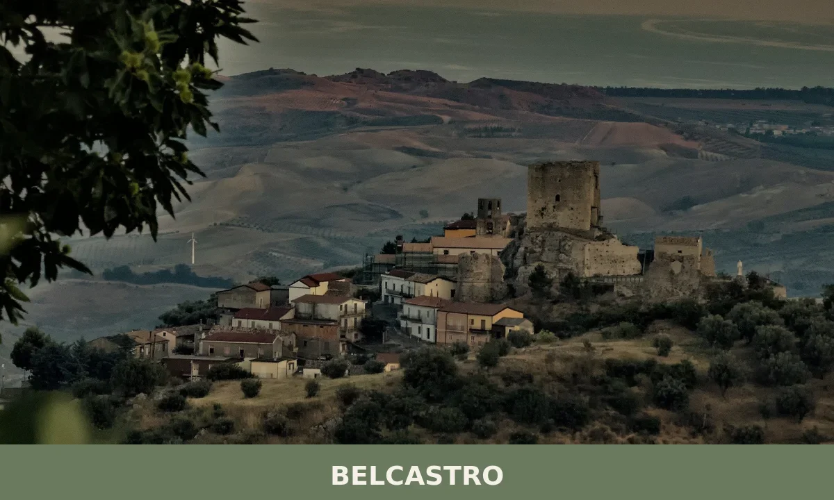
Belcastro
 Hills
Hills
What to see in Belcastro, Calabria, Italy: Norman castle, Aquinas connection, population 1,400. Discover top attractions, local food and how to get there.
Altilia
Hills
A quiet hill village of 677 people in Calabria's Savuto valley. Discover what to see in Altilia — its stone lanes, parish church, and deep agrarian roots.
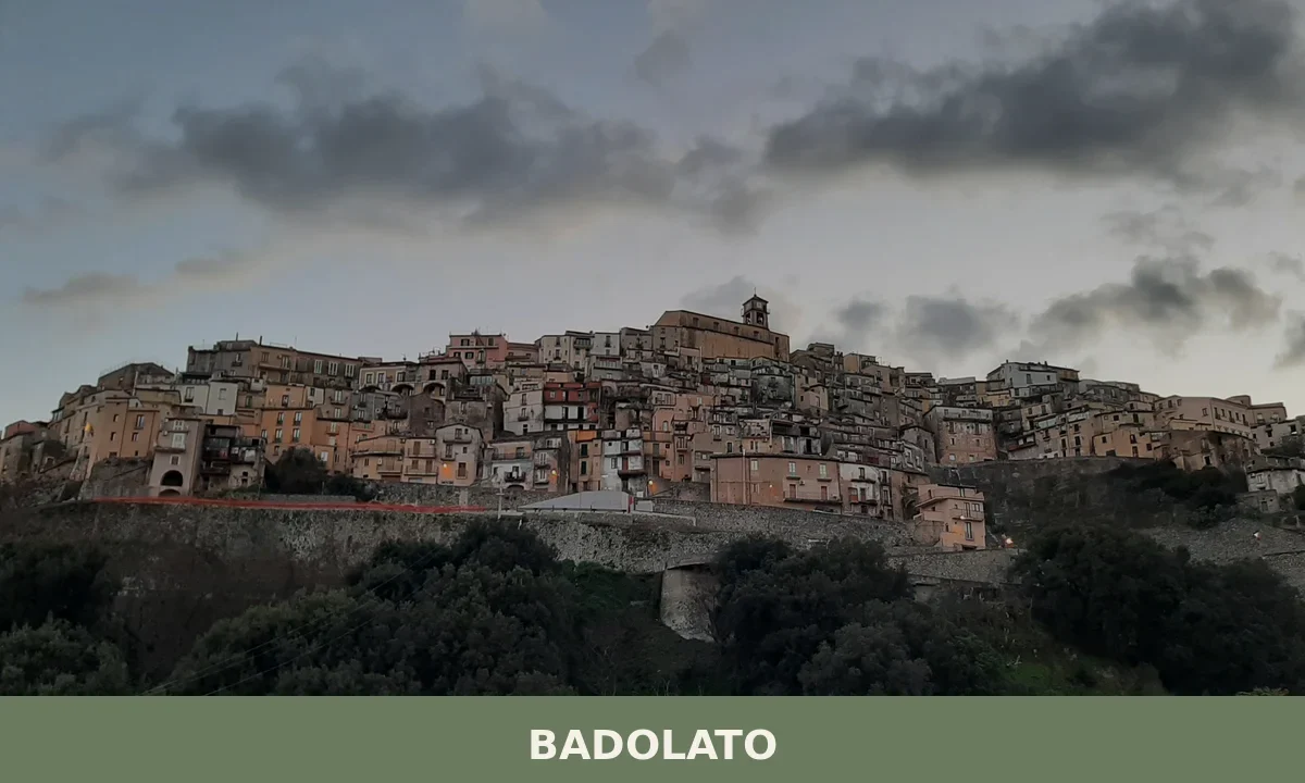
Badolato
Mountain
What to see in Badolato, Calabria, Italy: Byzantine churches, a 17th-century castle, and olive oil production 30 km from Catanzaro. Discover the complete guide.
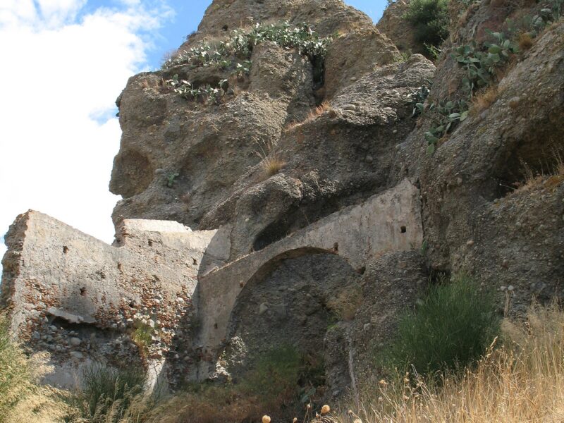
Pentedattilo
Hills
Pentedattilo village in Calabria is a ghost town sculpted into a distinctive five-fingered rock formation, offering a powerful journey through its ancient past and dramatic landscapes.

Andali
Mountain
Discover Andali, a hilltop village in Calabria's Sila Piccola at 650m, home to Arbëreshë culture, historic streets, and stunning valley views.
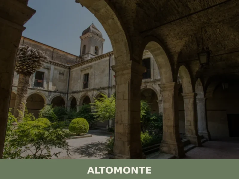
Altomonte
Hills
What to see in Altomonte: a hill village at 455m in Calabria with a 14th-century Gothic church, Civic Museum and medieval castle. Plan your visit today.
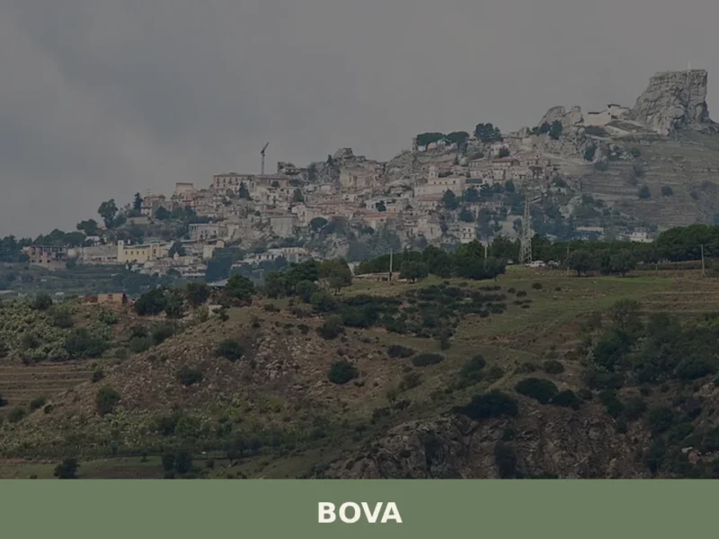
Bova
Mountain
Bova, a historic village in Calabria, sits at 817 meters, offering a glimpse into ancient origins and natural beauty.




🏡 Know Briatico better than we do?
If you’re a local or have been there, your knowledge matters: add what’s missing or fix a detail on this page.