


Gizzeria
5,362 residents, two faces — hilltop village and thermal-wind shore — and a documented Albanian foundation make Gizzeria one of Calabria’s most layered communities.
Gizzeria: Between Albanian Roots, Norman Stone and the Wind Coast
At 630 metres above sea level, the houses of Gizzeria hold their ground on the slopes of the Casale torrent valley, below the hill called Colle Micatundu. On clear days — winter or summer — the silhouette of the Aeolian Islands appears on the horizon, suspended above the Gulf of Sant’Eufemia. Below, an entirely different world: ten kilometres of Tyrrhenian coastline where the wind channels through the land’s narrow throat with such regularity that the stretch has earned a name of its own.
Gizzeria village in Calabria occupies a rare double geography, split between an inland ridge settlement and a coastal strip that draws kitesurf athletes from across Europe. These two poles — the quiet hilltop village and the wind-driven shore — define the rhythm of life here more than any administrative boundary could.
From Greek Colony to Feudal Stronghold: Gizzeria Through the Centuries
The name itself reaches far back. Scholars trace it to the ancient Greek toponym Ἴσσαρος, and archaeological finds across the territory confirm a long pre-medieval presence of both Italic and Greek communities. The site was not empty when medieval powers arrived to claim it. According to some researchers, an early settlement known as Izzario or Izzaria eventually came under the influence of a Basilian monastery dedicated to San Nicola, which was later latinised in the eleventh century by Benedictine monks from the abbey of Sant’Eufemia — an institution about which historical records remain fragmentary.
During the Norman period the place, then called Yussaria, functioned as a castrum within the territories of Duke Robert called il Guiscardo, and was donated in fief to the Benedictine abbey of Sant’Eufemia. The official founding of the present settlement dates to around 1450, and is associated with Albanian exiles — the arbëreshë — who fled Ottoman expansion in multiple waves. In the local dialect the village is still called Jezzarìa; in the Albanian-derived tongue it carried the name Jacari. The arbëreshë community was soon absorbed into the Latin rite: the territory passed under the governance of the Knights of Malta together with the neighbouring area of Nocera Terinese, and over time the Albanian language and Orthodox rite faded. Today those remote origins survive mostly in place names and in scholarly memory rather than in living tradition.
The earthquake of 1783 left its mark on the built fabric. Under French administrative reorganisation in the early nineteenth century Gizzeria became a formal municipality, with Sant’Eufemia assigned to it as a villaggio. The Bourbon period brought the gradual end of feudal privilege and the rise of a local landowning middle class — the so-called galantomini. Several residents joined the liberal uprisings of the Risorgimento era; among them, Alessandro Toja, documented as a participant in Garibaldi’s Expedition of the Thousand. After unification, brigandage became another chapter in the village’s turbulent story. Then, towards the close of the nineteenth century, emigration began in earnest. On 6 December 1907, that emigration produced one of the community’s deepest wounds: a number of Gizzeria-born workers were among the victims of the Monongah mining disaster in the United States, one of the deadliest mining accidents in American history, with a death toll that remains contested by historians.
Among the Italian miners lost at Monongah were men from Gizzeria — a detail recorded in local historiography and preserved in community memory as a measure of the human cost of late nineteenth-century emigration from Calabria.
The Landmarks That Define Gizzeria’s Landscape
Church of San Giovanni Battista
The parish church dedicated to San Giovanni Battista stands at the centre of Gizzeria’s religious and civic identity. The patron saint’s image appears on the village coat of arms — officially recognised in December 1940 — alongside a Maltese cross and a lamb, symbols that reflect the long influence of the Knights of Malta over this territory. The church comes fully alive on 24 June, the feast of San Giovanni, when the community gathers for the principal religious celebration of the year.
Church of the Annunziata
The Church of the Annunziata is the second historic religious building within the village. Like many Calabrian churches of its type, it speaks to the layered devotional life of a community that passed through Basilian, Benedictine and Latin Catholic phases before settling into its present identity. Visitors exploring the upper village will find both churches close to the older residential fabric, where narrow lanes follow the natural contour of the hillside.
La Bocca del Vento — the Coastal Strip
The ten kilometres of coastline within Gizzeria’s administrative territory carry a telling local name: La Bocca del Vento, the mouth of the wind. The geomorphology of the isthmus funnels thermal winds into this stretch of shore with unusual consistency. That same wind corridor hosts one of Italy’s larger wind energy parks. For visitors, the practical consequence is a coastline that regularly stages European kitesurf championship events; in 2015 the site hosted a leg of the world championship in the Hydrofoil and race categories.
The Village Coat of Arms and Its Symbols
Gizzeria’s heraldry is a compressed historical document. On a blue field, the figure of San Giovanni Battista stands with a lamb at his feet and a bifurcated Maltese cross above — the cross referencing the Knights of Malta who governed the fief for centuries. The official recognition of this stemma came with a decree of December 1940. The banner, or gonfalone, is a plain field of blue, matching the shield’s ground.
The Valley of the Casale Torrent
The torrent called Casale carves the valley below the village and shapes its immediate geography. The hillside terrain between the ridge settlement and the coastal plain passes through agricultural land that has sustained Gizzeria’s economy across centuries. Walking the paths that descend from the old town toward the valley gives a clear sense of why this position — defensible, with views to the sea — was chosen and held across so many different political regimes.
A Table and a Territory: What Gizzeria Grows and Produces
Gizzeria occupies a dual agricultural zone: the inland slopes support traditional Calabrian hill farming, while the coastal strip brings a different microclimate closer to the Tyrrhenian. The village’s position between these two bands has historically shaped what the land produces. No single product has achieved external fame, but the broader Catanzaro province tradition of olives, cereals and seasonal vegetables is present here as in the surrounding communities.
The fair known as ‘A ‘hfera a’ Cona, held on the third Sunday of October, was for generations the occasion for a livestock market — a reminder that animal husbandry was integral to the local economy long before the coast became a sporting destination. That market has faded in recent years, but the feast survives as a community gathering anchored in the agricultural calendar.
When to Visit Gizzeria and How to Get There
The village rewards different visits at different times of year. Summer concentrates activity on the coast, where the thermal winds make the Lido di Gizzeria a practical destination for water-sports enthusiasts. The 24 June feast of San Giovanni Battista draws the community together in the hilltop village with processions and celebrations. October brings the ‘A ‘hfera a’ Cona gathering. Winters on the ridge are cool and quiet, but the Aeolian Islands remain visible on clear days — a view that costs nothing and surprises most first-time visitors.
If you arrive by car, the Salerno–Reggio Calabria motorway passes through the municipal territory, and the SS18 Tirrena Inferiore connects the coastal zone northward and southward. Provincial roads 101 and 103 link the coast to the upper village. Visitors arriving by rail will find the station of Gizzeria Lido on the Tyrrhenian Southern line — useful for reaching the coast directly, though the hilltop village requires onward transport. The proximity of Catanzaro, the provincial capital, makes it a practical base for those exploring more than one village in the area.
| Departure | Distance | Time |
|---|---|---|
| Catanzaro | approx. 35 km | approx. 40 min by car |
| Lamezia Terme | approx. 15 km | approx. 20 min by car |
| Cosenza | approx. 85 km | approx. 1 h by car |
| Reggio Calabria | approx. 155 km | approx. 1 h 40 min by car |
Travellers interested in the wider Catanzaro province will find natural connections to nearby villages. The communities of Amato and Albi lie within the same upland system, each carrying its own distinct history. Further east, Amaroni and Argusto offer additional perspectives on how Calabrian hill villages have balanced agriculture, faith and geography across the centuries. Gizzeria, with its unusual combination of wind-driven coast and Albanian memory, sits within this network as a village whose double identity makes it genuinely distinct.
Frequently asked questions about Gizzeria
How do you reach Gizzeria by car or train?
By car, the most convenient exit is Lamezia Terme on the A2 Mediterraneo motorway, about 15 km from Gizzeria town. The nearest railway station is Lamezia Terme Centrale, connected by Trenitalia with regional and intercity trains. From there you can continue by bus or taxi. Lamezia Terme International Airport is also about 15 km away, making it one of the most practical access points for those arriving from outside the region.
When is Gizzeria's patron saint celebrated and what are the best times to visit the town?
Gizzeria's patron saint is Saint John the Baptist, whose liturgical feast falls on June 24. Summer is the busiest season, with the coast attracting windsurfers and kitesurfers thanks to consistent thermal winds. Spring is ideal for visiting the hilltop historic center with mild weather. In winter, on clear days, you can enjoy exceptional views all the way to the Aeolian Islands from the upper village.
Are there documented hiking trails in the Gizzeria area?
Gizzeria's territory is part of the Reventino-Savuto area, where hiking trails are present and some are catalogued by CAI Calabria. The hills around the village offer paths through olive groves and Mediterranean woods. For certified and updated trails, it is recommended to contact the CAI section in Catanzaro or the Gizzeria municipality, as local mapping can vary seasonally.
How much time is needed to visit Gizzeria and is parking available?
Half a day is sufficient for the hilltop historic center, considering the main points of interest. Those combining a visit to the village and the coast should allow at least a full day, given the distance of about 10 km between the two areas. Public parking is available in the peripheral areas of the town. For the coastal fraction of Gizzeria Lido, parking increases in summer near the beach facilities.
What historical curiosities distinguish Gizzeria from other Calabrese villages?
Gizzeria preserves an uncommon double heritage: the Arbëreshë (Albanian) tradition present in some local cultural aspects, and an ancient Greek substrate linked to the place name Ἴσσαρος. The village was also marked by Norman presence, visible in the medieval urban layout. This layering — Greek, Byzantine, Norman and Albanian — in a municipality of just over 5,000 inhabitants makes it a significant historical-ethnographic case study in the Calabrese landscape.
📷 Photo Gallery — Gizzeria


In Calabria More villages to discover
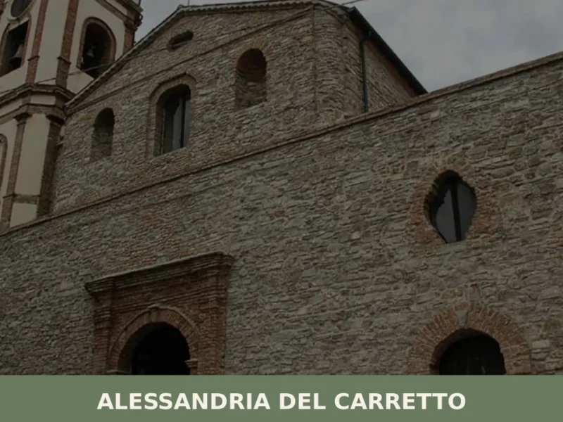
Alessandria del Carretto
At 1,000 metres above sea level, on the eastern slope of the Calabrian Pollino, Alessandria del Carretto has just 357 inhabitants today — making it one of the least populated municipalities in the entire province of Cosenza. Its territory falls within the Pollino National Park, and anyone wondering what to see in Alessandria del Carretto […]
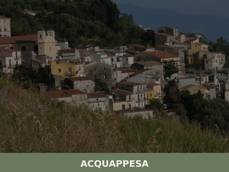
Acquappesa
A Calabrian hill village of 1,737 inhabitants defined by its sulphurous thermal springs, Tyrrhenian coastline, and quiet stone lanes in the province of Cosenza.
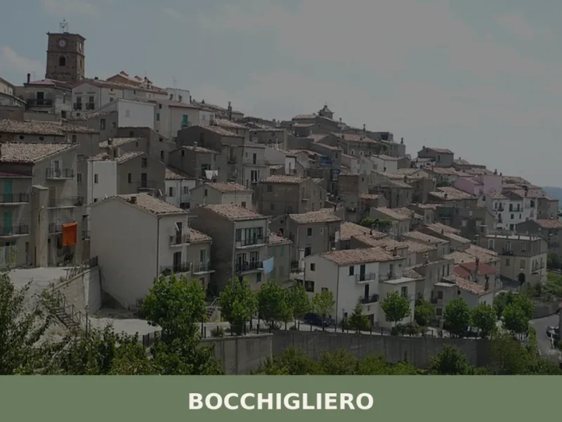
Bocchigliero
What to see in Bocchigliero: a mountain village at 870m in Cosenza. Discover the Mother Church and the Baronial Palace ruins.
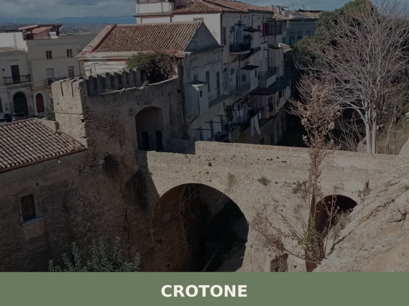
Crotone
What to see in Crotone, Italy: explore this historic city, 8 meters above sea level. Discover the ancient city walls and the 16th-century Castle of Charles V. Read our complete guide.
Pentedattilo
What to see in Pentedattilo, Calabria, Italy: a ghost town founded in 640 BC at 250 m altitude. Discover top attractions, history, and how to get there.
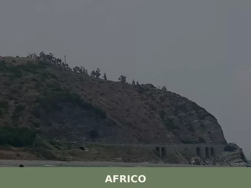
Africo
Discover what to see in Africo, Calabria: the abandoned mountain village, Ionian coast, Aspromonte landscapes, local food and practical travel tips.
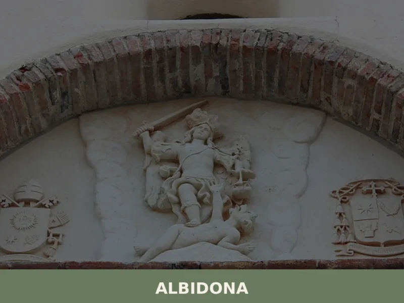
Albidona
Albidona has 1,142 inhabitants and sits at 810 metres above sea level on the eastern slope of the Pollino massif, in the province of Cosenza. The old town preserves an urban layout arranged in parallel bands, developed along the ridge that separates the Saraceno stream valley from the Caldanello valley. Asking what to see in […]
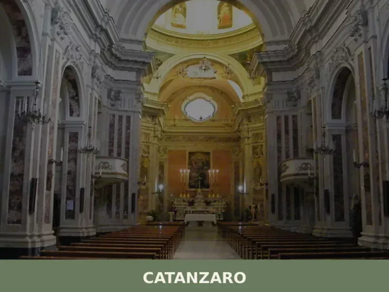
Catanzaro
What to see in Catanzaro: from historic churches to the Morandi Bridge, discover the 5 top attractions. A complete guide to visiting the Calabrian capital.
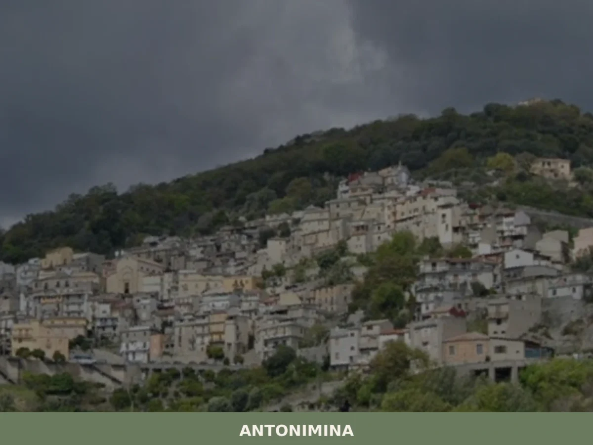
Antonimina
What to see in Antonimina, Italy, at 327 m: Discover stone alleys and patron feast. Explore Calabria's culture.
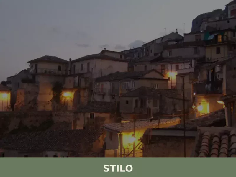
Stilo
The Cattolica church occupies a spur of rock above the rooftops, its five small domes visible from the valley floor before the rest of the village comes into focus. Below the church, the streets narrow and the stone deepens in colour, shifting from pale grey to near-black where the walls absorb the shadow. Iron and […]


🏡 Know Gizzeria better than we do?
If you’re a local or have been there, your knowledge matters: add what’s missing or fix a detail on this page.