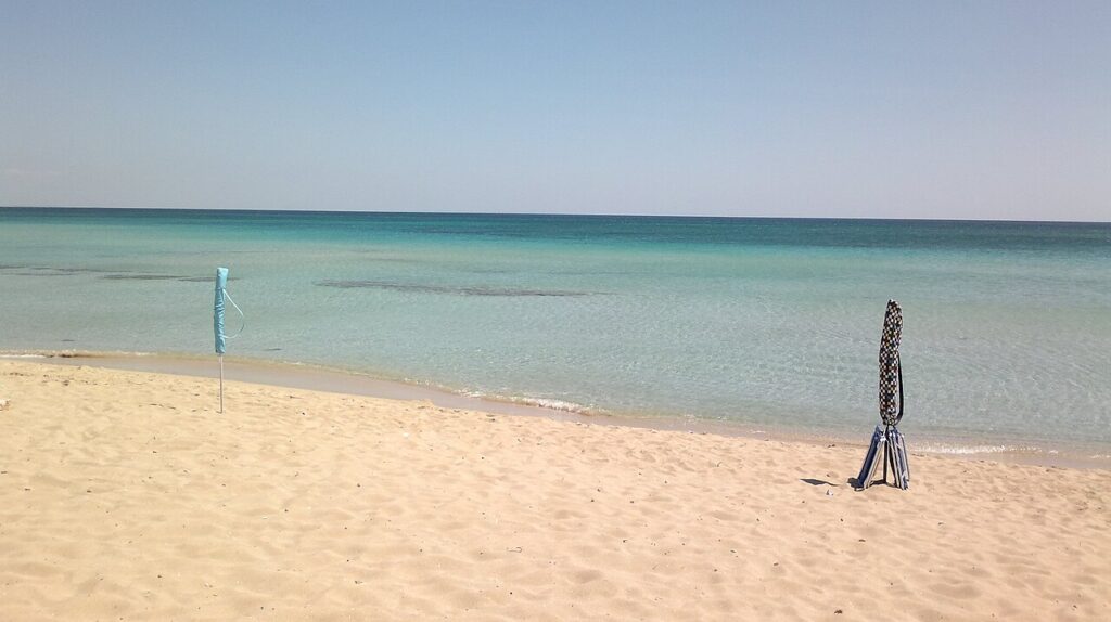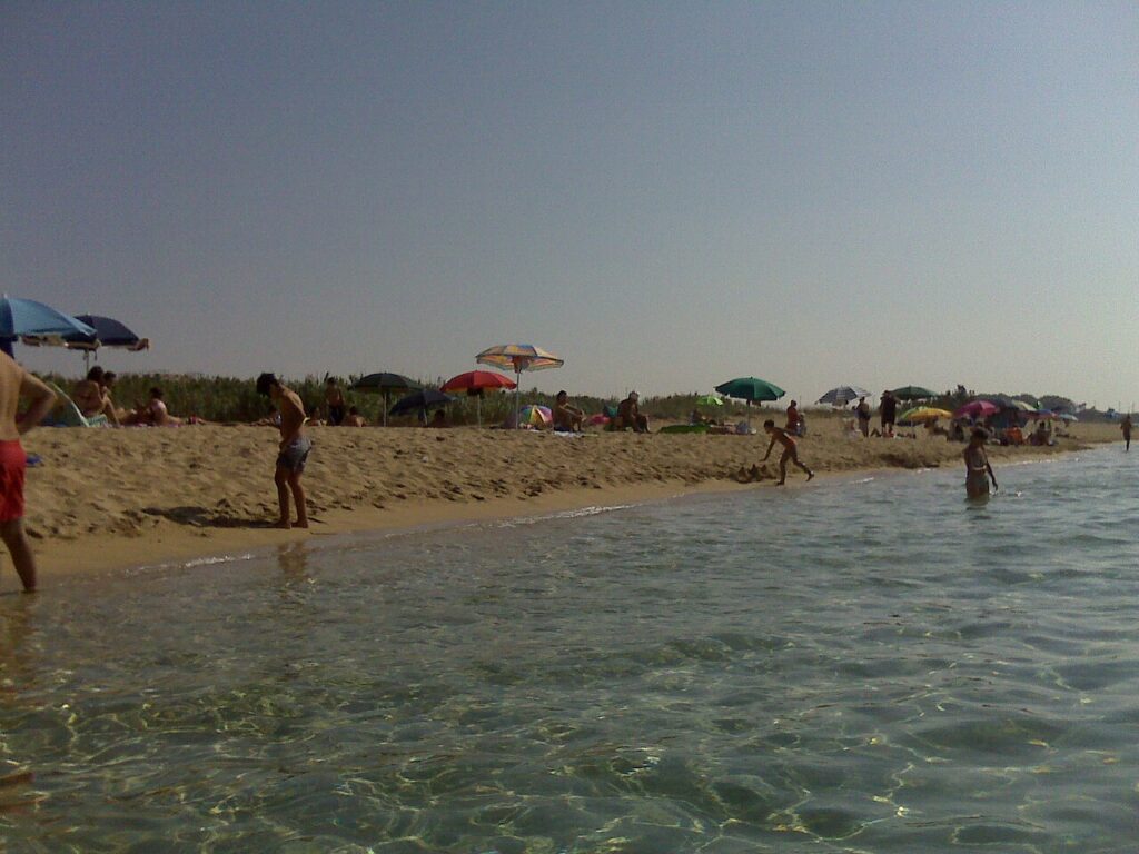
Manduria rises from the northern plains of Salento at 79 metres above sea level, where the soft limestone of old town walls catches the afternoon light. The town extends inland from an 18-kilometre coastal fringe, and the Chidro river—one of the Salento’s major waterways—flows through its territory toward a protected natural reserve. The landscape feels both agricultural and maritime: inland grain fields give way to marshy delta lands where reeds and brackish water form a boundary between two worlds.
Manduria invites visitors to trace Roman military roads, walk through churches built over multiple centuries, and stand within megalithic Messapic walls that predate Rome itself. Its rise and fall, conquest and rebuilding, makes the present landscape readable as archaeology.
A Town Renamed: From Messapic Foundation to Modern Recovery
The Messapi founded Manduria as a fortified settlement, and the name itself likely derives from an Indo-European root meaning “horse” or “horse enclosure”—a word connected to Sanskrit forms and reflecting the importance of horsebreeding in ancient Salento. The first written records appear in the Latin historians Tito Livio and Plinio il Vecchio, and the ancient settlement appears on the Tabula Peutingeriana as Manduris.
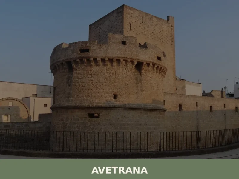
By around 266 BCE, Manduria entered Roman dominion along with the other Messapic centres of Salento, following Rome’s seizure of Brindisi. The via Traiana Sallentina, a Roman road at least four metres wide and paved in stone, connected Taranto to major Salentine centres including Avetrana, Nardò, Alezio, and Otranto. During Hannibal’s invasion of Italy, the town joined the rebel cities against Rome—a choice that brought harsh reprisals. Historical sources record the deportation of thousands of inhabitants as punishment.
Following the Saracen destructions of the early medieval period, Manduria was rebuilt in the 11th century under the name Casalnuovo. It then passed through the hands of successive feudal lords: the Hugot family held it from 1339, followed by the De Tremblay in the fifteenth century, and later by the De Raho, Montefuscoli, Dentice, Castromediano, Bonifacio, Borromeo, Chyurlia, and finally the Imperiali di Francavilla, who retained control until the late eighteenth century. On 17 November 1789, Ferdinando I di Borbone, king of the Two Sicilies, restored the ancient name of Manduria by royal decree. In 1895, Umberto I, king of Italy, granted the town the status of città (city); that same year, a commemorative plaque was mounted beneath the Porta Napoli to record these turning points.
In the centuries following Rome’s fall, the site lay vulnerable to raiders coming by sea. Its rebuilding as Casalnuovo marked not a fresh start but a contraction: the new settlement occupied only part of the old Messapic grid, expanding westward and leaving the eastern zone—the ancient necropolis—undeveloped for centuries.
Stone Witnesses: Churches and Medieval Traces
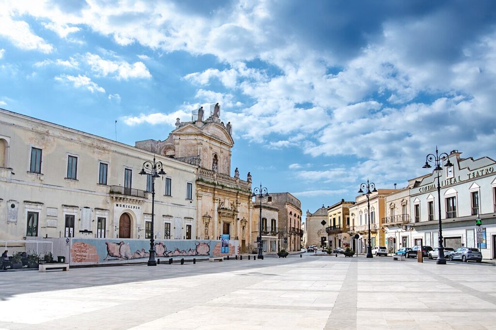
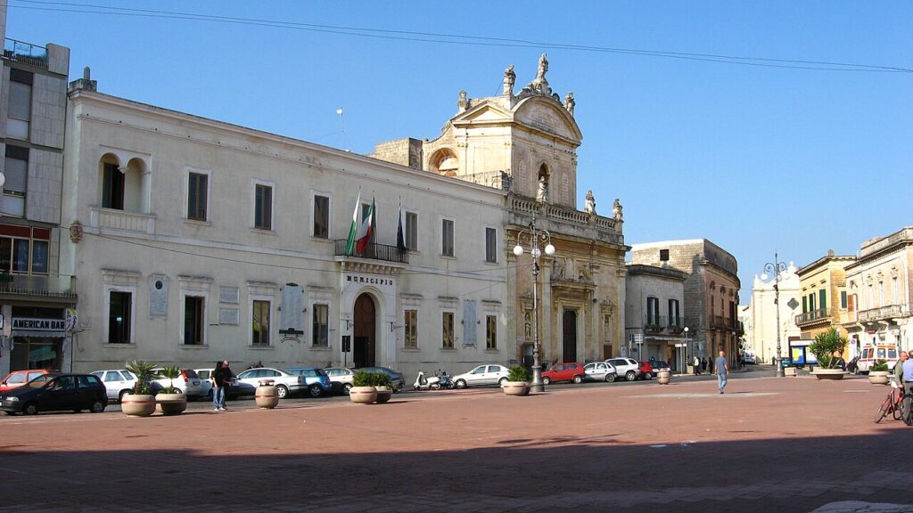
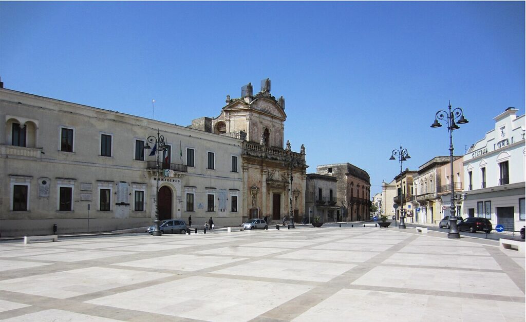
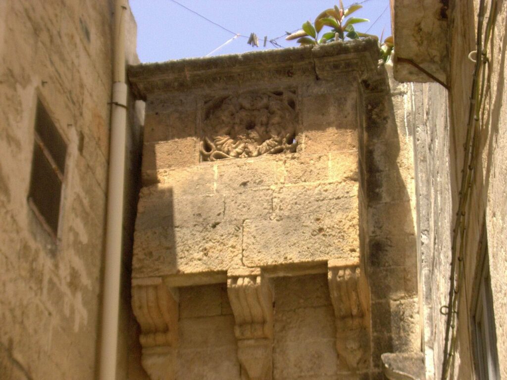
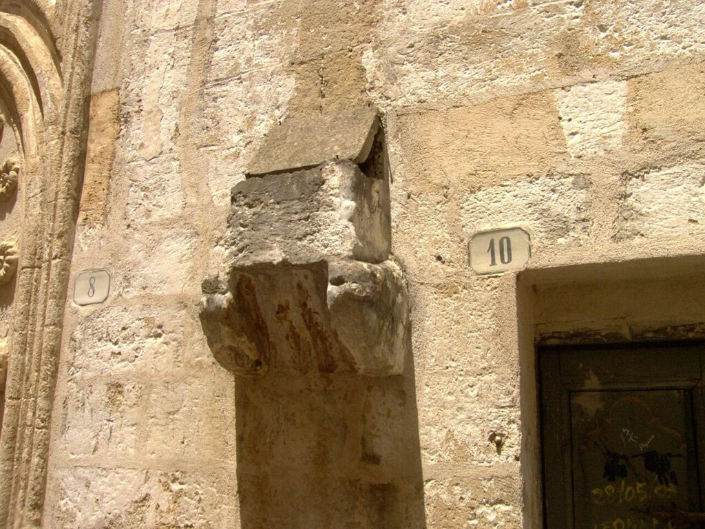
The compact centre of Manduria reveals its layered past through narrow, winding streets and a series of religious buildings that span more than five centuries. The most imposing structure is the Chiesa Madre (the main parish church), a fifteenth-century romanesque basilica that blends early medieval forms with late-Gothic and Catalan influences. The church was built on the footprint of an earlier medieval sanctuary, retaining two stone lions from that older edifice. The splendid portal with rose window and the baptismal font, dated 1534, are attributed to the master craftsman Raimondo da Francavilla. The interior features five aisles supporting a wooden-coffered ceiling (restored in 1938) that leads to a hexagonal apse. The campanile—a five-storey tower decorated with zoomorphic and mythological details—stands integrated into the east side of the church and has long drawn the attention of architectural historians.
The Church of San Francesco and its adjoining convent have a long history within the Franciscan order. The structure underwent successive transformations: around 1592, members of the Seraphic Reform carried out major renovation work; in 1608, the wooden roof was removed and the perimeter walls heightened; and in 1633, a diaphragm wall was inserted within the presbytery. The baroque campanile likely rose in the first half of the eighteenth century. Inside, eighteen wooden half-bust statues and a wooden crucifix from the seventeenth century remain in the presbytery. A canvas dated 1621 by the painter Giovanni Bernardino Azzolino depicts the Madonna with Child and Saints.
The former Church of Santa Croce stands as a single-nave structure of modest dimensions (twelve metres long, nine metres wide). The church served as a seat for the Confraternity of San Rocco from 1698 onward, after the bishop of Oria granted the use of the space. When the municipal cemetery was established nearby in the nineteenth century, the church was repurposed as a mortuary chapel; after cholera ravaged the town in 1865 and overwhelmed the existing burial ground, a new cemetery was constructed further north. Burials in the older cemetery ceased in 1893, and the church was handed to the care of the Franciscan friars.
Beyond the town limits, archaeology continues to yield finds from the Roman and Messapic periods. Recent excavations within the historic centre have uncovered tombs, pottery, and coins bearing witness to millennia of habitation. The megaliths of the Messapic defensive circuit and the remnants of the surrounding ditch remain visible as landscape features—silent attestations to an era when horse-breeding warriors defended these plains.
Land and Water: Geography of a Frontier Territory
Manduria occupies a fertile plain that stretches eastward toward the town of Oria and westward into low hills locally called the “Diavolo” (Devil’s hills). The Monte dei Diavoli, the highest point in the municipal territory, rises to 117 metres above sea level. The Chidro river, classified as a site of community importance, flows through the territory toward its delta and the protected Litorale Tarantino Orientale nature reserve.
The coastal zone extends eighteen kilometres and comprises several scattered settlements. The climate is Mediterranean but continental in flavour: winter nights often freeze during high-pressure systems, and summer heat routinely exceeds 40 degrees Celsius, with exceptional peaks near 43–44 degrees when dry northerly winds prevail. Annual rainfall averages around 610 millimetres (measured 1961–1990), and snow cover is rare, accumulating only three to four centimetres per year on average. On 28 October 2018, a tornado (rated EF0–EF1) struck the town around 8 p.m., causing extensive damage to houses, churches, and vehicles.
Local Flavours and Agricultural Roots
The province of Taranto holds several designations of protected origin status. Wines from the Terre Tarantine and Terra d’Otranto regions benefit from DOP (Protected Designation of Origin) status, and oil bearing the Olio di Puglia IGP label comes from olives grown across the broader region. The landscape itself—fertile plains and coastal marshes—has long supported grain cultivation, market gardening, and pastoral activities that fed both local tables and wider markets.
Traditional food knowledge persists in recipes and preparations rooted in agricultural and pastoral cycles. Though the village page does not exhaust the regional food heritage, the agricultural foundation remains visible: roadside stands, seasonal harvests, and the everyday cooking that emerges from what grows and lives on the land. Future dedicated explorations will map the specific dishes and preparations linked to Manduria’s kitchens.
When to Visit and How to Arrive
Manduria lies in the northernmost section of Salento, accessible by car via provincial roads that link it to larger Taranto and to the coastal towns of the Ionian shore. The town is best visited in spring (April–May) or autumn (September–October), when temperatures remain mild and the light across old stone streets holds particular clarity. Summer brings intense heat, while winter is generally mild but can see sudden cold spells.
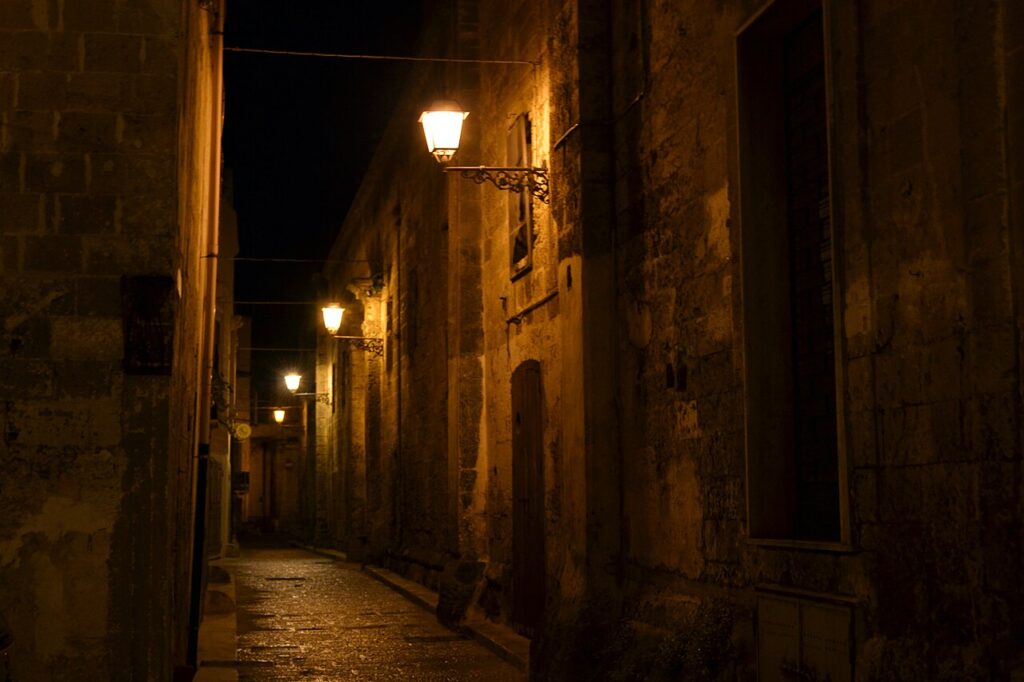
The historic centre rewards slow walking. Narrow streets demand pedestrian pace, and many churches and the remnants of medieval walls reveal themselves only to those who move without haste. If you arrive by car, locate parking at the town’s edge or in designated areas near the Porta Napoli; the interior streets are not designed for vehicles. The municipality’s official website (https://www.comune.manduria.ta.it) offers practical information on opening hours for religious buildings and any seasonal events or exhibitions.
| Departure point | Distance | Approximate travel time |
|---|---|---|
| Taranto | 30 km | 35–45 minutes by car |
| Avetrana | 15 km | 18–25 minutes by car |
| Brindisi airport | 55 km | 1 hour by car |
| Lecce | 75 km | 1 hour 15 minutes by car |
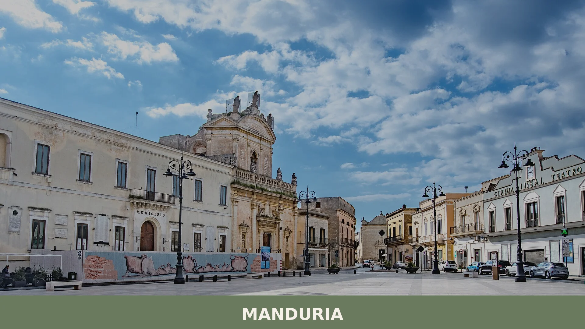
Manduria earned recognition as a Città d’Arte (City of Art) by regional designation in 2018, a title that reflects the density of its monuments and the significance of its archaeological heritage. The town’s patron, Santo Gregorio Magno, is honoured in the church dedicated to him within the main basilica. Visitors drawn to the intersection of Messapic archaeology, Roman infrastructure, and Baroque religious architecture will find here a landscape where multiple centuries remain visible in stone and in the layout of streets.