


Venafro
Two thousand years of collision shaped this border town. Ancient warfare, medieval revival, papal visits and modern tragedy carved Venafro into a living archive of southern Italian identity.
Venafro: Where Sannite Defiance Met Italian Unification
Venafro Village in Molise: Gateway of Sannite Wars and Italian Unity
The Volturno River rises here, emerging from a small lake called la pescara in the heart of the plain. Stone by stone, the medieval fortress unfolds along the mountain scarp, its highest point crowned by the Castello Pandone. Below, the cathedral sits outside the ancient walls—a layout copied from Norman-Longobard cities. This is no accident of town planning. Venafro sits at a threshold where three regions meet, where armies have always crossed, where empires collided.
Venafro village in Molise occupies the western edge of the region at 222 metres above sea level, ringed by mountains that reach toward 1,200 metres. It is a place defined by two draws: the visible layers of 2,300 years of warfare and statecraft embedded in its streets and stones, and its role as a functioning crossroads where modern commerce, pilgrimage and regional identity intersect.
From Sannite Fortress to Strategic Crossroads
Long before Rome became an empire, the Sannites held the plain of Venafrum. The town bears a name rooted in their language, not the mythological Diomede to whom local tradition sometimes attributes its foundation. Archaeology confirms what the name suggests: by the 3rd century BCE, the Sannites controlled a settlement here, one that would resist Roman conquest through the Samnite Wars with characteristic ferocity. The decisive moment came in 89 BCE during the Social War, when the Italian allied peoples made a last stand. Mario Egnazio, a Frentani commander, took Venafrum through treachery and slaughtered six Roman cohorts. The victory was brief. Sulla, the Roman general, razed the city in response.
What Rome destroyed, Rome rebuilt—and on a grander scale. By the time of Augustus, Venafrum had become a formal Roman colony with the name Colonia Augusta Julia Venafrum. The urbanism still visible today—the careful alignment of streets following the Roman cardo and decumano system—dates from this era. So does the Rivus Venafranus, an aqueduct engineered to carry water from the Volturno downriver, evidence that Rome saw this location as worthy of infrastructure investment. The landscape changed hands again between the 6th and 8th centuries: Longobards occupied it, then Charlemagne’s forces clashed with the Principate of Benevento across this very plain.
By the early Medieval period, Venafro had become a diocese—a sign of administrative importance and Christian consolidation. The Pandone family, emerging as local lords by the 15th century, presided over an economic revival that left its mark in churches and palaces. Yet the greatest moment in the modern history came in October 1860, when King Vittorio Emanuele II stopped here on his way to meet Garibaldi at Teano, staying at the Palazzo Cimorelli while Italy was being remade. Six years later, the administrative map shifted again: in 1863, Venafro was transferred from the province of Caserta (then still in the Terra di Lavoro region of Campania) to the new province of Campobasso in Molise—a territorial wound that sparked local protest but proved permanent.
“Re Vittorio Emanuele venuto con poche armi e voti di popolo infiniti a consacrare l’Italianità di queste provincie fu in questa casa ospite di Nicola Cimorelli nei dì 24 e 25 ottobre 1860.”
Inscription on the Palazzo Cimorelli, Venafro
The 20th century brought trauma that reshaped collective memory. Between autumn 1943 and spring 1944, Venafro lay in the combat zone of the Gustav Line—the German defensive barrier that blocked the Allied advance toward Rome. Mistaken for the nearby monastery of Montecassino by Allied pilots, the town endured aerial bombardment on 15 March 1944 that killed approximately 400 civilians and soldiers. A French military cemetery now holds those who died in the liberation. More disturbing still is the documented crime of May 1944, when French-Moroccan troops committed widespread sexual violence against the town’s women—an atrocity later immortalised in La ciociara, Vittorio De Sica’s 1960 film starring Sophia Loren, adapted from Alberto Moravia’s novel.
Sacred Stone: Churches and Sanctuaries
The Convent of San Nicandro
In October 1911, the Capuchin friary of San Nicandro received an unexpected patient: Padre Pio of Pietrelcina, a young monk wracked by illness, sent south from his northern monastery for treatment by the celebrated physician Antonio Cardarelli in Naples. The doctor recommended the mountain air of Venafro. What happened during the month and a half Padre Pio spent here transformed the convent into a pilgrimage destination long before his later fame. Witnesses reported divine ecstasies lasting up to an hour and unexplained phenomena that the monastic community took as signs of the supernatural. Though Padre Pio left to continue his ministry elsewhere, the convent’s reputation as a spiritual site took root. Today it stands between the town and the surrounding countryside as a sanctuary drawing the devout and the curious alike.
The Cathedral and Concattedrale
The Cathedral of Santa Maria Assunta sits outside the fortified medieval perimeter, following the pattern common to Norman and Longobard towns where sacred space occupied a separate zone. For centuries it served as the seat of the Bishop of Venafro, a diocese established by the 5th century. When diocesan boundaries were reorganised in 1986, the cathedral became a concattedrale—a co-cathedral sharing episcopal authority with Isernia. The building itself carries the baroque sensibility of Neapolitan architecture, a style that reshaped much of Venafro’s urban face in the post-medieval centuries. Its position beyond the walls remains visible and deliberate, a spatial reminder of medieval sacred geography.
Castello Pandone
The fortress crowns the highest point of the old town, its presence commanding the plain below. Named for the family that ruled here from the 15th century onward, the Pandone castle anchors the medieval urbanism and marks the visual hierarchy of the settlement. It remains a reference point for understanding how Venafro arranged itself—fortress above, market and civic life in the middle levels, cathedral and sacred spaces set apart below. The structure itself survives as a frame for the landscape rather than as an intact military fortress, but its position preserves the fundamental logic of medieval town-building in this region.
French Military Cemetery
Between the town and the Capuchin convent lies the orderly rows of the French military cemetery, where soldiers of the Corps Expéditionnaire Français who fell between 1943 and 1944 rest. The cemetery is a place of remembrance and architecture—a formal garden maintained by the French state, with names and insignia speaking to the cost of the Italian campaign. General Alphonse Juin, who commanded the French Expeditionary Corps, established his headquarters in Venafro itself. The cemetery functions as both a memorial to the dead and a territorial anchor for how Venafro figures in the broader geopolitics of World War II and postwar European memory.
The Land and Its Seasons
Venafro sits in a plain ringed by mountains, a geography that shapes climate and agriculture alike. Winter temperatures drop regularly below freezing on clear nights, and snow arrives sporadically but rarely accumulates. The rivers Volturno and San Bartolomeo rise within the municipality itself, their sources feeding the small lake called la pescara. Summer grows hot—regularly above 30°C, sometimes reaching 36–38°C in heat waves—with afternoon thunderstorms typical of inland territories. Spring and autumn bring sharp temperature swings and frequent rain, concentrating between October and November.
This sub-continental temperate climate has sustained olive groves, grain fields and orchards for millennia. The plain’s soil and aspect support mixed agriculture, though specific local products worthy of culinary note are not widely documented in accessible sources. The landscape remains predominantly rural beyond the town proper, with relief rising sharply to the north and east toward Monte Sambucaro (1,205 m) and the other peaks that bound the territory. If you arrive by car, note that the SS 85 “Venafrana” passes through the town centre, though the newer external ring road completed in 2008 allows through-traffic to bypass the inhabited zones entirely.
Planning Your Visit
Venafro functions as a working town rather than a stage-set for tourists. It is a crossroads: the SS 6 approaches from the Lazio side (toward Cassino), and the SS 85 connects northward to Campania and southward into the Molise interior. If you travel by rail, the station connects to regional lines linking Campania and the wider southern network. The nearest regional hubs are Isernia to the northeast and Caserta to the south. The town offers basic services—restaurants, hotels, shops—but should be understood as a place to experience local rhythm and historical layers rather than as a resort destination.
October through April brings the clearest skies and most pleasant temperatures for walking the medieval streets and visiting monuments. May and June offer the longest daylight but can turn humid. July and August are hot and less comfortable for extended exploration on foot. The French military cemetery and the Convent of San Nicandro can be visited year-round. A full day allows time to walk the old town, visit the main churches, and understand the territorial context by ascending to views of the plain and surrounding mountains.
| Departure Point | Distance (approx.) | Travel Time |
|---|---|---|
| Isernia (provincial capital) | 30 km | 40 minutes by car |
| Caserta (regional hub) | 65 km | 1 hour 15 minutes by car |
| Cassino (Lazio border) | 25 km | 35 minutes by car |
| Naples (Campania capital) | 110 km | 1 hour 45 minutes by car |
Venafro’s significance lies not in a single landmark but in its survival as a multilayered settlement where Sannite defiance, Roman engineering, Medieval piety, Renaissance patronage, Papal remembrance and modern tragedy all remain legible in the landscape. It is a place for those interested in how southern Italian identity was forged through conquest, resistance and unification—and in how ordinary towns bore witness to extraordinary historical forces. Consider pairing a visit with nearby Isernia, the provincial capital, or exploring other villages within the Molise region to grasp the wider territorial context.
Frequently asked questions about Venafro
How do you get to Venafro by car or public transport?
By car, the most convenient exit is Caianello on the A1 (Autostrada del Sole), then continue on the SS85 Venafrana road heading northeast for about 20 km. By train, the reference station is Venafro, served by the regional line Campobasso–Isernia–Caianello. By bus, ATAM services connect Venafro to Isernia and Cassino. The historic center is reachable on foot from the station in about 10 minutes.
When is the feast of Venafro's patron saint celebrated and what events accompany the festival?
Venafro's patron saint is San Nicandro Martire, venerated together with Saints Marciano and Daria. The patron saint feast is celebrated on June 17th. Celebrations include solemn processions, pontifical mass and moments of public gathering in the historic center. The date coincides with the warm season, making a visit particularly pleasant thanks to mild temperatures and lively squares.
How much time is needed to visit Venafro and where can you park?
A complete visit of the historic center, Castello Pandone and the archaeological area requires at least a full day. For those wanting to explore the National Museum of Molise (housed in the castle) and the Roman amphitheater, it is advisable to plan for two days. Free parking is available in flat areas at the edges of the historic center, near Via Municipio and near the Roman amphitheater.
Are there hiking trails around Venafro?
The area around Venafro is included in the Abruzzo, Lazio and Molise National Park in its perimeter zone, with CAI trails that climb toward Monte Santa Croce and the surrounding Apennine ridges. Lake Letino and Monte Cesima are hiking destinations reachable in less than an hour by car. Cycling enthusiasts can travel the Volturno plain on low-traffic roads.
What are the lesser-known historical curiosities about Venafro?
Venafro was celebrated in antiquity for the quality of its olive oil: Latin poet Horace explicitly mentions it in his Satires as a producer of excellent oil. The Roman amphitheater, dating to the 1st century B.C., was capable of holding about 10,000 spectators, a remarkable capacity for a provincial center. Castello Pandone preserves a cycle of Renaissance frescoes depicting horses, unique of its kind in southern Italy.
📷 Photo Gallery — Venafro


In Molise More villages to discover
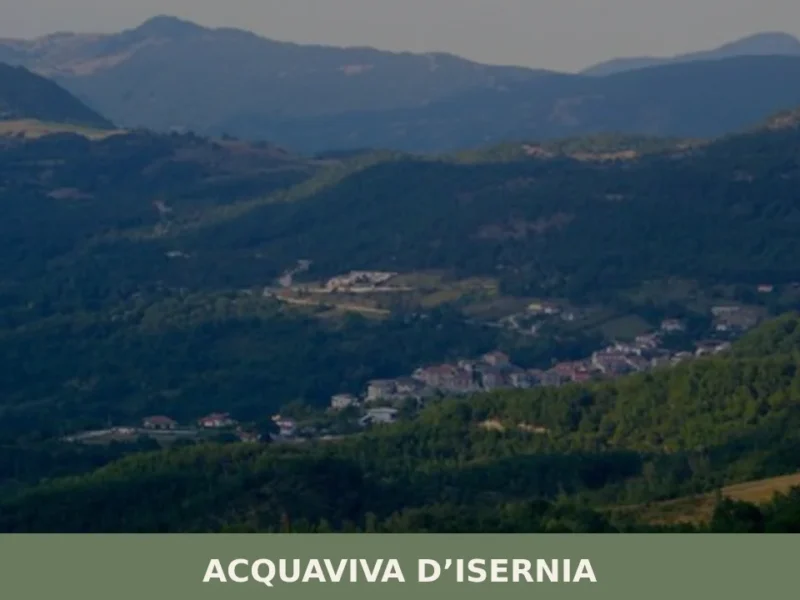
Acquaviva d’Isernia
Discover what to see in Acquaviva d'Isernia: history, food, best time to visit, and how to reach this small Molise village in the Isernia uplands.
Cercemaggiore
What to see in Cercemaggiore, Italy? Explore this mountain village at 930m (3,051 ft) altitude. Discover its historic core and panoramic views. Read our guide for your visit.
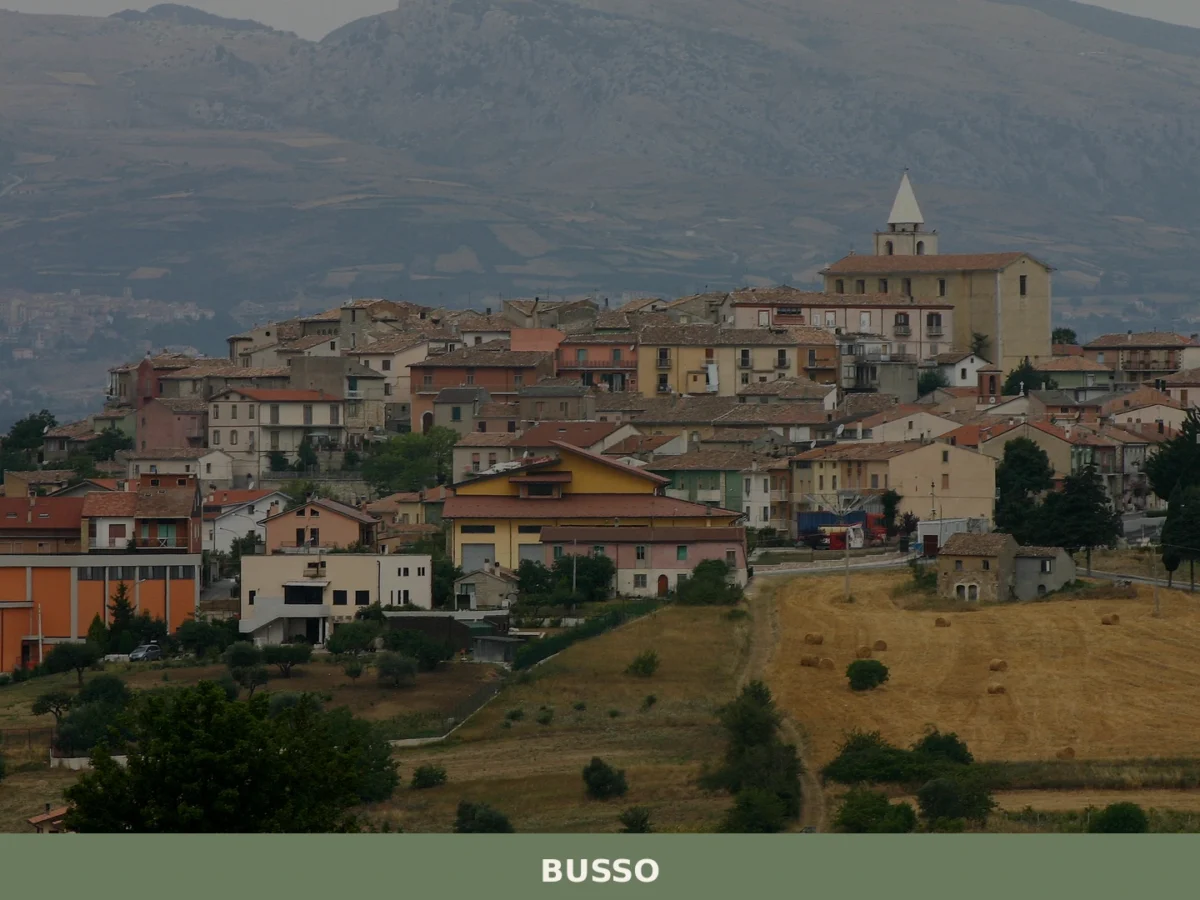
Busso
What to see in Busso, Molise, Italy: explore 5 top attractions 10 km from Campobasso. Discover local food, festivals and how to get there. Complete travel guide.
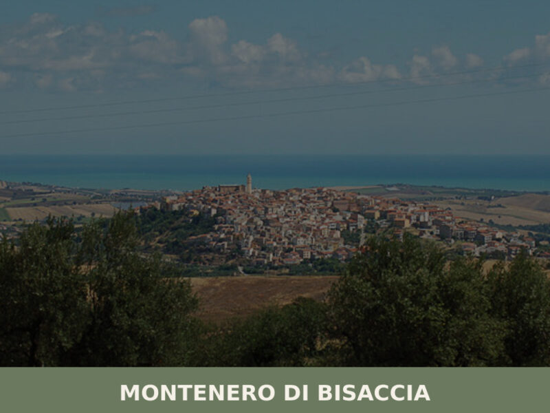
Montenero di Bisaccia
Morning light moves across the rooftops in a slow wave, catching the sandstone walls of old houses before spilling into the main piazza. At 273 metres above sea level, Montenero di Bisaccia sits on a hill that commands views stretching from the Apennine ridgeline to the Adriatic coast — a rare double horizon. With just […]
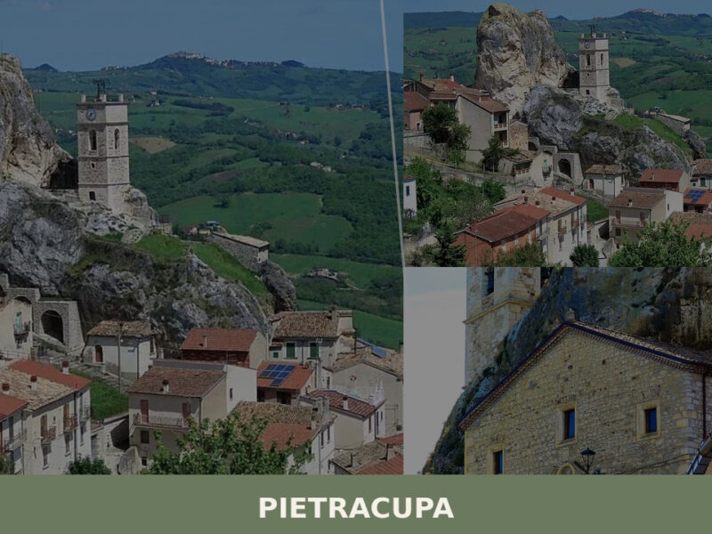
Pietracupa
A 208-inhabitant village shaped by a massive rock outcrop in Molise's interior. Discover what to see in Pietracupa, from its grotto chapel to its silent panoramic ridgelines.
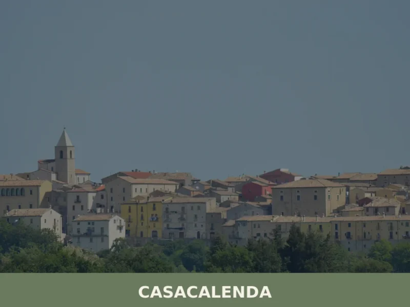
Casacalenda
Morning light hits the limestone facades along Corso Roma and the sound is not silence but something close — a dog barking two streets away, the clatter of a shutter being folded back, the low idle of a Fiat Panda parked outside the only bar open before eight. Casacalenda sits at 631 metres above sea […]
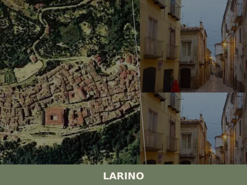
Larino
A layered town of Roman ruins and medieval stone in the Molisan countryside. Here is everything to see in Larino, from its amphitheatre to the Festa di San Pardo.
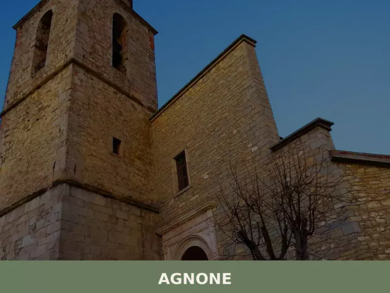
Agnone
Discover what to see in Agnone, Molise: the 1040 Marinelli bell foundry, medieval churches, Samnite museum, local food and practical travel tips.
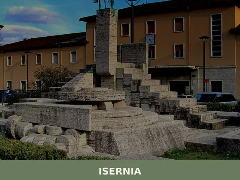
Isernia
what to see in isernia, Italy, and discover 5 top attractions. Explore its Roman heritage, including the Fraterna Fountain, and find travel tips for this Molise capital.
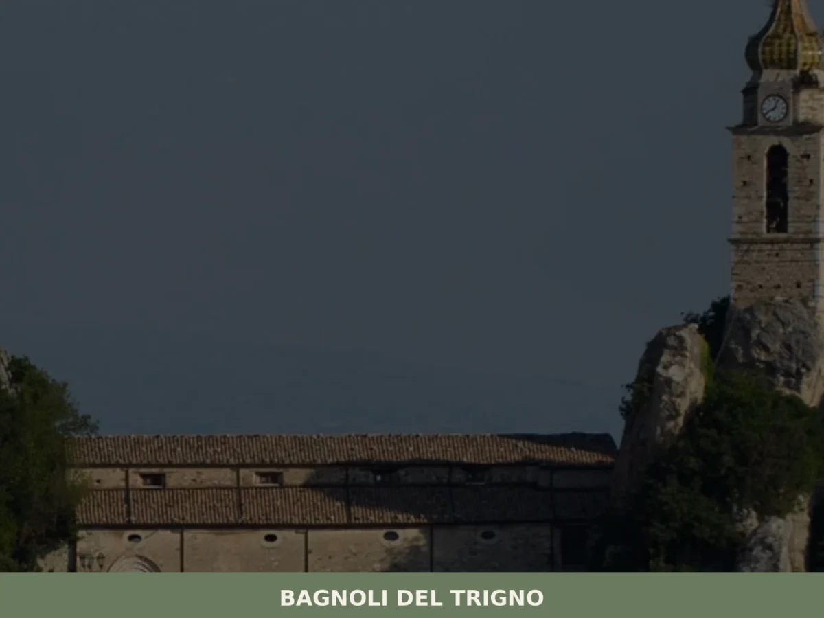
Bagnoli del Trigno
Discover what to see in Bagnoli del Trigno: medieval streets, parish churches, Trigno valley landscapes and upland food traditions in the Province of Isernia, Molise.


🏡 Know Venafro better than we do?
If you’re a local or have been there, your knowledge matters: add what’s missing or fix a detail on this page.