 Mountain
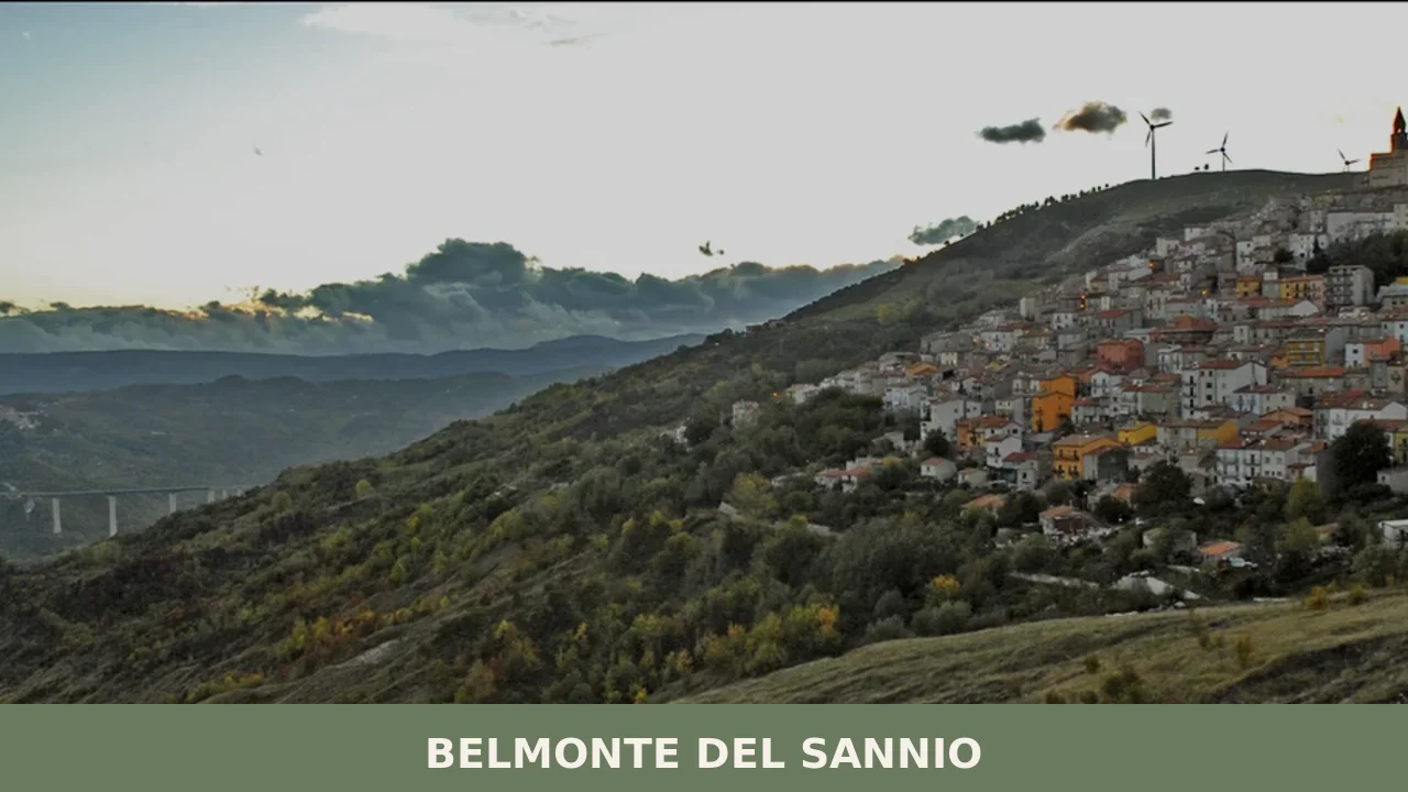
 Stone walls rise on a colle overlooking the Sente valley. The wind carries the smell of limestone and mountain herbs through narrow lanes where circular towers still stand from the ninth century. This is where the high Appennine meets the borderland between Molise and Abruzzo, a place where ancient wars left their mark in walls that still hold the memory of peoples who fought Rome.
Belmonte del Sannio village in Molise sits at 864 metres altitude in the province of Isernia, a settlement of 610 people rooted in territory rather than commerce. Two draws anchor a visit: the archaeological traces of Sannite civilization and a landscape that reveals itself only to those who climb slowly into the mountain.
A Sannite Stronghold and Medieval Boundary
The area was populated by the Sanniti, an Italic people who resisted Roman expansion for generations. Traces of fourth-century fortifications survive on the heights—defensive walls built during the Sannite Wars. The first written mention comes from the Roman historian Tito Livio, who records in his tenth book the name Ovio Paccio, a priest and military leader of the Sanniti who administered a sacred oath to warriors at Pietrabbondante. Near Colle Sant’Angelo, outside the modern village, a Sannite tomb takes the form of a mausoleum, its stone arranged like a sarcophagus, believed to be Ovio’s burial place.
The etymology of the name itself is uncertain. One hypothesis, proposed by scholars including La Regina, suggests derivation from the Latin bellum—meaning war—thus “mountain of war.” Another tradition holds that the name reflects the beauty of the panorama. The addition “del Sannio” came only after Italian unification in the nineteenth century.
By the eleventh century, Belmonte appeared in documents as a castle. At the boundary with the Sente River stood the Benedictine abbey of Santa Maria della Noce, now vanished, which held feudal rights over territories to the north. The village passed through the hands of the Borrello family, then in 1438 came to Jacopo Caldora by decree of Alfonso of Naples. Later it fell to the Caracciolo and Carlo Tappia, a jurist of Lanciano, under whose jurisdiction Belmonte remained until 1799 as part of Abruzzo Citeriore.
From 1438 onwards, Belmonte remained part of Abruzzo Citeriore until 1799. After the Napoleonic reorganization of 1807 it passed to Molise, and not until 1970 did it enter the province of Isernia.
Medieval and Renaissance Structures
Torre Longobarda
In the old village, a circular tower built in the ninth century stands as a marker of the settlement’s Lombard period. Its entrance and window sit in the upper reaches, a defensive design common to early medieval fortifications. The simplicity of its geometry and the way it commands the slope reveal the logic of frontier control.
Palazzo Baronale
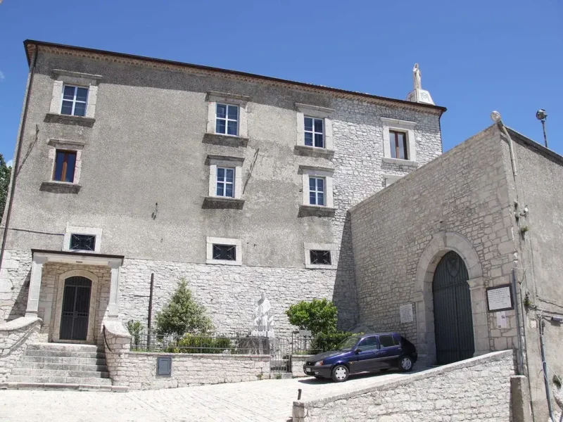
Constructed in 1550 above the remains of the medieval castle, this palazzo served as the seat of the Caracciolo family from the seventeenth through the nineteenth centuries. A remnant of the castle, the torrione, survives beneath it. The palazzo embodies the transition from feudal stronghold to noble residence, a shift that marked Belmonte’s transformation in the early modern period.
Chiesa di San Salvatore
The main church was rebuilt in 1865 following a series of earthquakes that struck the region during the nineteenth century. Carlo da Pescopennataro provided the labour for reconstruction. The structure follows a Latin cross plan with stone walls; the interior, renovated in a neoclassical style, is a single nave containing altars dedicated to San Rocco and the Concezione. This church replaced an earlier building and anchors the spiritual life of the community.
Cappella di San Rocco
Built in 1848, this small chapel reflects nineteenth-century devotional practice. San Rocco, the plague saint, held particular veneration in mountain communities where disease and isolation were constant threats. The chapel’s modest construction and placement within the village reveal the layered religious landscape of Belmonte.
Sannite Fortifications at Roccalabate
On the slopes at Roccalabate, remains of an ancient defensive line mark the terrain. These fortifications, built during the fourth century before the Roman advance, form part of the archaeological stratum that defines Belmonte’s deepest identity. Walking the ridge, one traces the logic of Sannite strategy: control of the high passes and the approach routes into the valley.
Local Flavours and Mountain Agriculture
The territory of Isernia province sustains several protected food traditions. Among regional specialities recognised across Molise are guanciale—cured pork jowl—and the prosciutto and prosciutto di spalla that depend on mountain pasturing and seasonal curing. Isernia’s cipolla (onion) carries its own protected status, a vegetable tied to high-altitude cultivation. These products emerge from the agricultural calendar of the mountains, where altitude and climate shape both livestock and crops.
Traditional handmade pastries include cicerchiata and strufoli, sweets that appear in local celebrations. The food culture reflects the rhythm of village life: preserved meats for winter, dried goods for months when fresh trade is difficult, and sweets for feast days. Belmonte participates in this broader mountain food identity rather than claiming unique local dishes; visitors will find these regional products in local shops and family kitchens.
Visiting Belmonte del Sannio
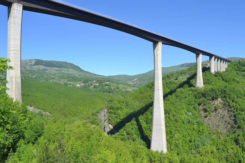
Belmonte del Sannio village in Molise lies on the fringe of the Isernia province toward Abruzzo, accessible by a high bridge—one of the tallest in Europe—that spans the valley and connects the two regions. The approach by car reveals the landscape gradually: first the modern outskirts, then the steep lanes of the old village, and finally the panorama of the high Sente valley opening toward the Appennines.
The village sits at 864 metres altitude, and the climate follows the mountain calendar: winters are cold and can bring snow; springs and autumns offer the clearest air and lowest crowds. The village has no hotels, but accommodation exists in nearby Agnone and other settlements in the province. A visit of half a day allows time to walk the old lanes, see the chiesa and palazzo, and stand on the colle to absorb the territorial logic. Longer stays suit those exploring the Cammino delle Chiese Campestri, a pilgrimage route that passes through Belmonte, linking rural chapels and villages across the region.
| Departure Point | Distance | Travel Time |
|---|---|---|
| Isernia (provincial capital) | 45 km | 50 minutes by car |
| Agnone | 18 km | 20 minutes by car |
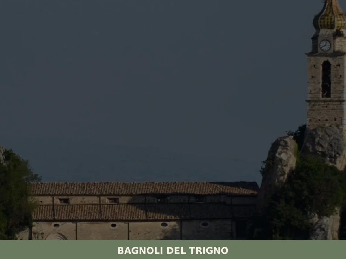
| Bagnoli del Trigno | 12 km | 15 minutes by car |
| Campobasso (regional capital) | 75 km | 85 minutes by car |
Sant’Anacleto, the patron saint, guides the spiritual calendar of the village. The Cammino delle Chiese Campestri connects Belmonte to a broader network of rural pilgrimage, making it a waypoint for those walking the routes that bind mountain communities together. The village invites slow travel: the ascent of a narrow lane, the silence of the chiesa, the view from the colle where Sannite and medieval walls have shaped the same horizon for millennia.