


Mottola
A hillside comune of 15,125 residents in Taranto province, Mottola rises 387 metres above sea level with panoramic views of the Ionian Sea and a landscape of ravines dotted with rupestrian churches and Byzantine caves.
Mottola Village in Apulia: History, Territory and Local Identity
Mottola Village in Apulia
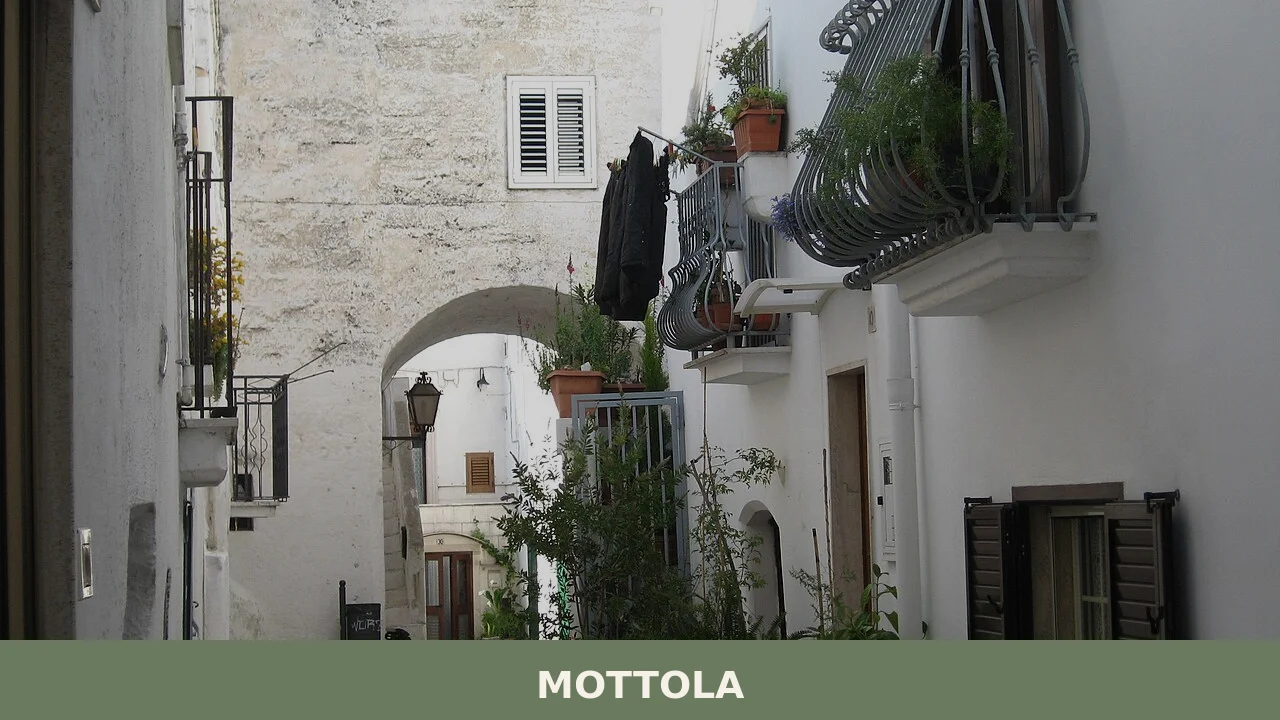
White stone houses climb the slopes of Mottola, a village that commands the southern Murgia plateau at 387 metres above sea level, its gaze fixed toward the Ionian Sea ten kilometres away. The pale facades catch the afternoon light, and from the village square the distant glint of water appears on clear days—this is why locals call Mottola the “Spia dello Ionio”, the Ionian’s spy.
Mottola village in Apulia stands in Taranto province as a layered settlement where Byzantine monks carved crypts into the soft stone, Norman lords built castles, and Iron Age metalworkers left behind bronze treasures still held in the national museum. Two converging draws for visitors: the network of rupestral churches and crypts that earned the village its nickname as the city of caves, and the Terra delle Gravine natural park that wraps the village’s territory in ravines, oak groves and Mediterranean scrub.
The Rise of the Castellum: Medieval Foundations
The name Mottola itself carries ancient roots. The etymology reflects the word motta, a pre-Roman term of broad Italian distribution meaning a natural or artificial elevation—a fitting description for this hilltop stronghold. Written records from the 11th century spell it as Motula or Mutula, anchoring the toponym in medieval parchment.
Human habitation on the Mottola hill stretched back into prehistory. In 1899, workers excavating the foundations of Palazzo D’Onghia uncovered a hoard of Iron Age bronzes, now preserved in the National Museum of Taranto, that testify to settlement during the first millennium before Christ. The village’s medieval identity crystallized in 1023, when the Byzantine official Basilio Boioannes, catapan of Italy, ordered the construction of a fortified castellum. Two Saracen chiefs, Rayca and Saffari, oversaw the building work—a strategic partnership reflecting the complex political landscape of southern Italy under Byzantine control, aimed at defending the Longobardia theme against both external and internal threats. By 1063, the castle appears in the Breve chronicon Northmannicum, confirming its role as a permanent defensive structure during the Norman period.
Mottola served as a episcopal seat during the Norman era, a status it would retain for centuries. Around 1252, Manfredi of Sicily granted the fief to Gervasio de Matino; after the fall of the Swabian dynasty in 1269, it passed to the Angevin lord Anselin de Toucy. In 1653, the fief changed hands once more, sold to Francesco Caracciolo VII, duke of Martina, under a notarial deed witnessed in Naples. The Caracciolo family held Mottola until the feudal abolition laws of 1806 ended aristocratic dominion.
The episcopal seat of Mottola endured until 1818, when the Concordat between Pope Pius VII and King Ferdinand I of the Two Sicilies suppressed it and merged the diocese with Castellaneta—a boundary-shifting that reflected the Bourbon monarchy’s new ecclesiastical order.
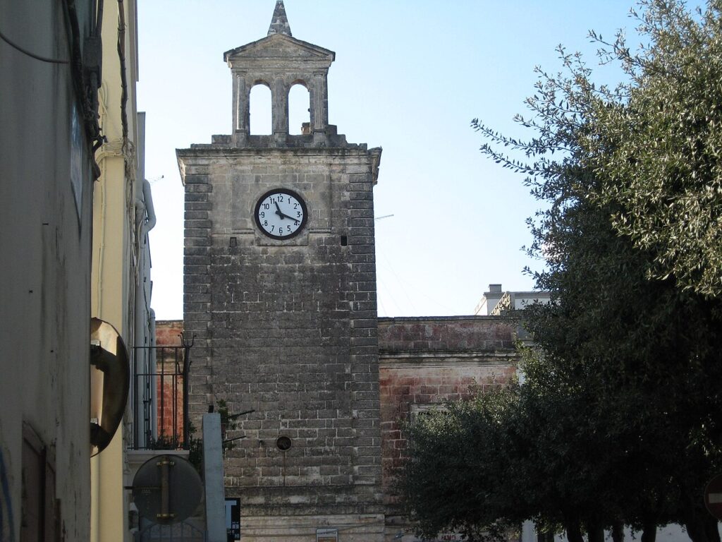
The 19th century brought new urban character. In 1887, the municipality completed the Palazzo Municipale, a neoclassical structure of three storeys embracing approximately 70 rooms around a spacious central atrium where summer cultural events are held. The palazzo overlooks Piazza XX Settembre, its pavements inlaid with eight octagonal mosaics depicting historical and legendary moments from the medieval city. A devastating earthquake on 16 January 1818 had destroyed the old Porta Grande and toppled the medieval coat of arms; the civic seal was restored to use in 1881 and officially recognized by royal decree in 1934.
The Rupestral Church Network: Byzantine and Medieval Faith
Toward the end of the first millennium, Byzantine influence and Eastern monastic practice transformed the spiritual landscape of Mottola’s territory. Monks and hermits withdrew into caves carved from soft stone, establishing small monastic communities and dedicating themselves to prayer in environments that merged natural shelter with sacred geometry. The Norman conquest accelerated this monastic settlement, and the Catholic Church subsequently conducted a systematic ricattolicizzazione—a re-catholicization—to efface Byzantine and Orthodox influence, yet the architectural vocabulary of Constantinople persisted in the village’s crypts.
Mottola preserves a significant collection of rupestral spaces: the crypts dedicated to San Nicola, Santa Margherita, Sant’Angelo, and San Gregorio still contain religious frescoes, and the Church of the Madonna of the Seven Lamps, carved into the rock in the 12th century, stands as a testament to that Byzantine devotional tradition. A rupestral church dedicated to San Cesareo, deacon and martyr, lies near the settlement of Casalrotto within the municipal territory. The convento di San Nicola, established during the first Byzantine colonization phase, anchors the Largo San Nicola in the historic centre—one of the oldest gathering places in the village. In the heart of the old town stand the Church of Santa Maria Assunta (the Chiesa Madre, dating to the 12th century), the Church of the Immaculate (Il Convento, 13th century), and the 15th-century Arco Fanelli, a stone archway bridging two blocks of the narrow medieval street plan.
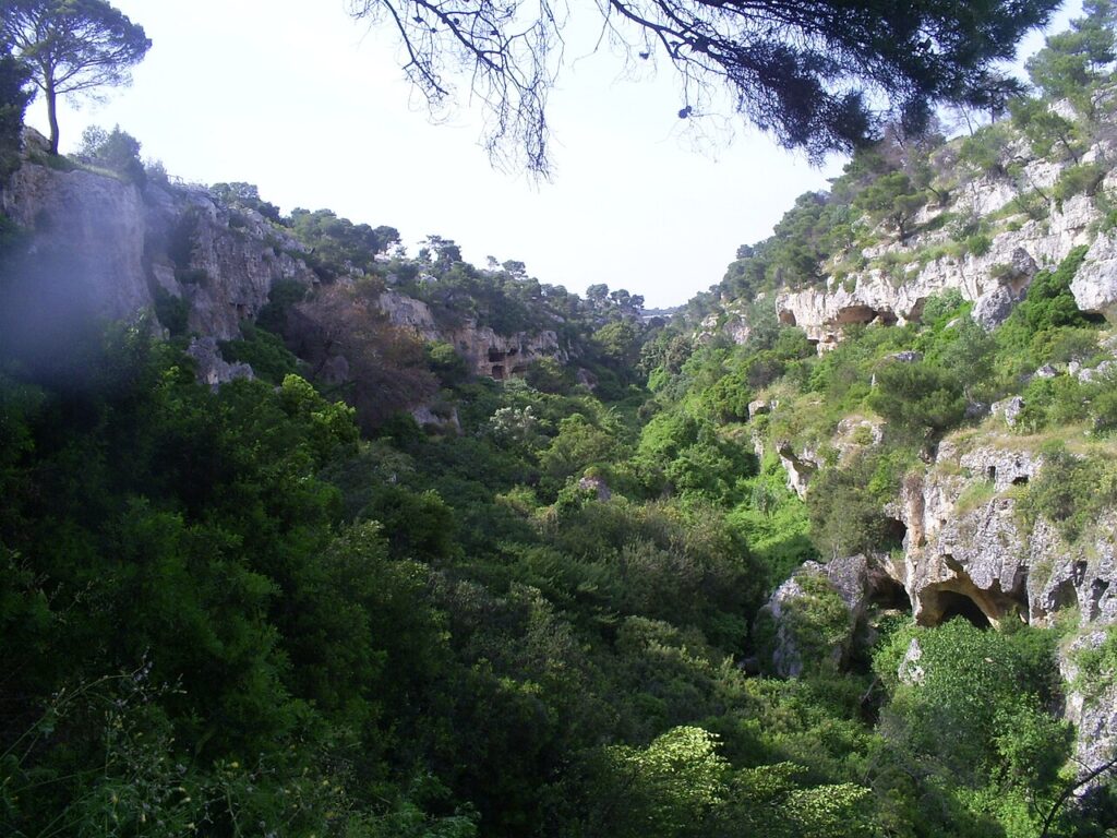
The Terra delle Gravine: A Landscape of Stone and Memory
The territory of Mottola forms part of the Terra delle Gravine natural park, a protected landscape defined by deep ravines, rocky outcrops and woodland. The gravina di Petruscio, located three kilometres from the town, harbours a rupestral village that may have been settled between the 9th and 11th centuries during the recolonization of the Murgia foothills following the Byzantine reconquest of 876, when Bari fell from Saracen hands. The terrain descends from the village’s 387-metre elevation to a minimum of approximately 70 metres above sea level and rises to a maximum of 506 metres, creating a dramatic topography of ridges and ravines. Oak and pine forests alternate with spontaneous Mediterranean scrub; the Ionian coast lies ten kilometres to the south, its mitigating marine influence keeping winter temperatures mild (averaging 8–9 °C) and summer warmth steady (22–25 °C).
A Modern Cold War Chapter
The 20th century inscribed an unusual chapter into Mottola’s identity. In 1960, during the height of Cold War tensions, the United States Strategic Air Command selected the village as a site for one of ten missile bases across southern Italy as part of Operation Deep Rock. A base was constructed at Monte Orsetti, roughly ten kilometres from the town centre between the Sant’Antuono woodland and the Boara locality, and armed with Jupiter intermediate-range ballistic missiles—weapons eighteen metres tall with a range up to 5,500 kilometres. The base functioned as a deterrent until 1963, when the Kennedy–Khrushchev accords following the Cuban Missile Crisis led to its deactivation and dismantling.
A Living Town and its Symbols
The civic coat of arms, featuring a tower and three red-legged choughs (corallini) perched on its crenellations, connects Mottola to Thomas Becket, the archbishop of Canterbury and the village’s patron saint. Three choughs appear in Becket’s heraldry as well—the link between the two remains debated by local historians, though one tradition suggests a bird flew into the cathedral during the saint’s assassination, while another notes a phonetic affinity between Becket’s name and one English vernacular term for the species. The tower symbolizes the village’s ancient fortified origins and defensive strength, while the birds signify prosperity and good fortune.
The Flavours of the Murgia
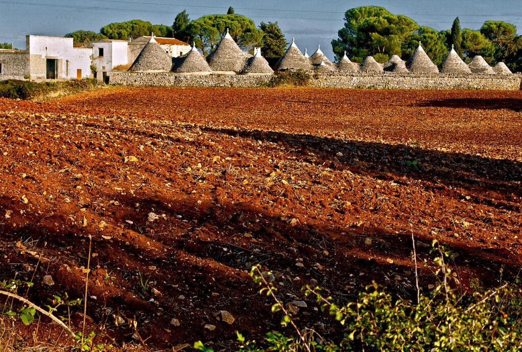
The agricultural identity of Mottola roots itself in the Murgia plateau, a limestone expanse that nourishes distinctive dairy and crop traditions. The region’s cheeses, including burrata and caciocavallo, represent centuries of pastoral expertise; the surrounding countryside yields vegetables, grains and oil from ancient olive groves that define the menu of local tables. The village participates in the Cammino Montiano, a pilgrimage route that threads through the province of Taranto, connecting walkers to the broader food and terroir culture of southern Apulia.
Planning Your Visit
Mottola lies in the province of Taranto, roughly at the intersection of the Murgia plateau and the Ionian hinterland. The nearest significant town is Castellaneta to the west; the village also borders Crispiano to the north and Massafra to the southeast. The climate is Mediterranean continental, with mild winters and warm summers tempered by the sea breeze; autumn and spring offer ideal conditions for exploring the rupestral churches and walking the natural park trails. The arrival by car is straightforward; once in the village, the medieval centre is best approached on foot, with the Piazza XX Settembre and Largo San Nicola as natural gathering points.
| Departure point | Distance | Approximate time |
|---|---|---|
| Taranto city centre | 35 km | 50 minutes by car |
| Bari Palese airport | 120 km | 1 hour 35 minutes |
| Castellaneta | 18 km | 25 minutes |
Visitors arriving in the village should allow at least a full day to explore the rupestral churches, walk the historic streets and visit the natural park. The Museo Nazionale di Taranto in the provincial capital houses the Iron Age bronzes recovered from Palazzo D’Onghia and merits a complementary visit to complete the archaeological narrative. Summer heat can be intense at midday; early morning or late afternoon walks through the gravine offer cooler conditions and softer light.
Frequently asked questions about Mottola
What is the best time to visit Mottola?
Spring (April–May) and autumn (September–October) offer ideal conditions with mild temperatures and low rainfall, perfect for exploring the rupestral churches and Terra delle Gravine park. Summer can be hot on the Murgia plateau. The feast of San Tommaso Becket, patron saint of Mottola, occurs on 29 December and is celebrated locally. Winter visits are possible but some outdoor trails may be affected by weather.
How do I reach Mottola by car?
Mottola lies in Taranto province, Apulia. From Bari, take the SS100 toward Taranto (approximately 90 km, 1.5 hours). From Taranto city centre, drive northeast on provincial roads toward the Murgia plateau (about 30 km, 45 minutes). The village sits at 387 metres elevation on the southern Murgia. Parking is available in the village centre and near the main piazza.
Are there public transport options to Mottola?
Taranto railway station (Stazione di Taranto) serves as the nearest major transport hub, approximately 30 km away. From there, regional bus services connect to Mottola, though frequency varies seasonally. Direct connections from Bari are limited. Renting a car is recommended for flexibility when visiting the rupestral churches and Terra delle Gravine natural park surrounding the village.
How long should I plan to spend in Mottola?
A full day allows exploration of the village centre, key rupestral churches, and village square views toward the Ionian Sea. Two days are ideal for visiting the Terra delle Gravine park, walking documented trails through ravines and Mediterranean scrub, and visiting any museums holding Bronze Age artefacts. Evening visits reward visitors with atmospheric lighting on the pale stone facades.
What archaeological treasures have been found in Mottola?
Iron Age metalworkers left bronze treasures in Mottola, now preserved in the national museum. Byzantine monks carved crypts and rupestral churches into the soft stone during the medieval period. Norman lords constructed castles on the hilltop settlement. The name itself derives from the pre-Roman term 'motta', meaning an elevated stronghold, reflecting the site's ancient strategic importance on the Murgia plateau.
📷 Photo Gallery — Mottola
In Apulia More villages to discover
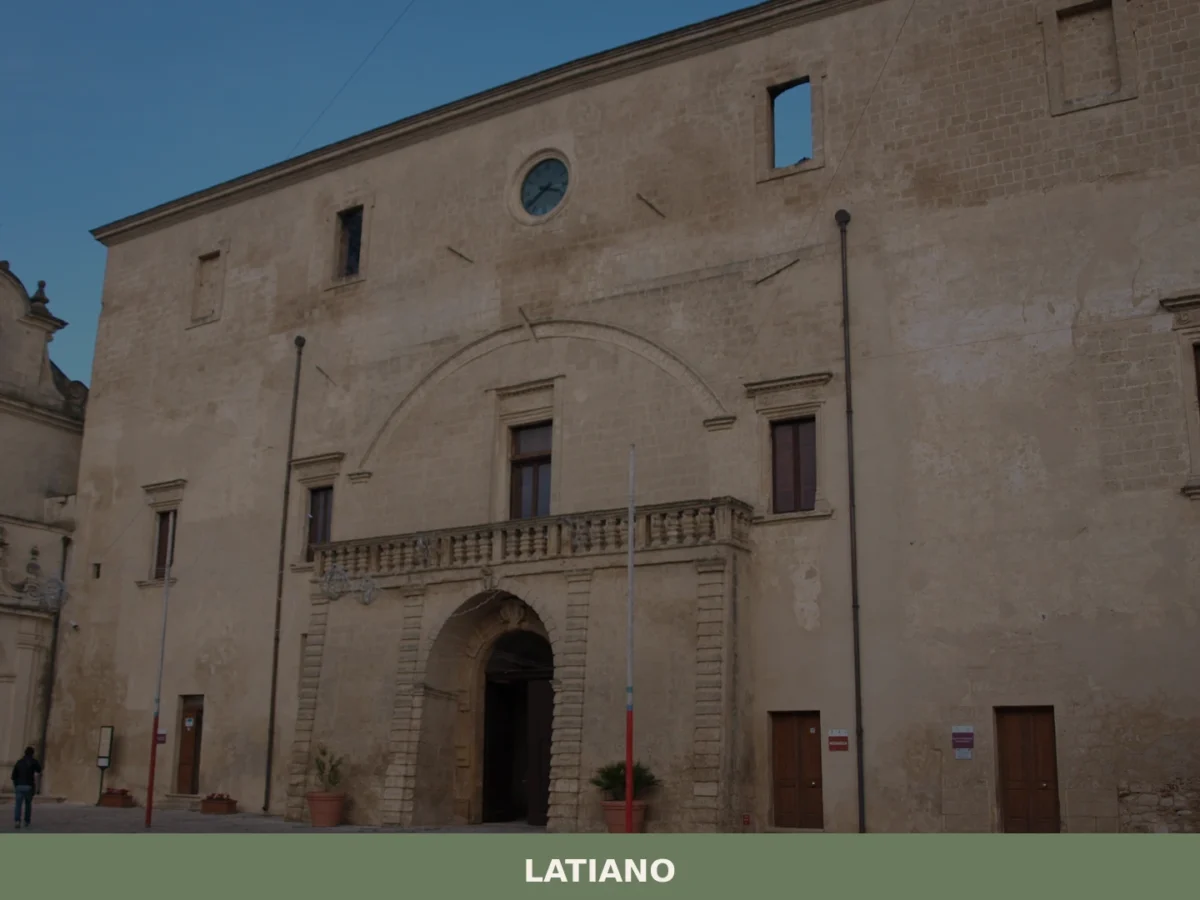
Latiano
Discover what to see in Latiano, Puglia: Baroque churches, historic masserie, olive groves and local food in this Brindisi province town of 13,000 inhabitants.

Alessano
Until 1818, Alessano was the seat of its own diocese — a fact that explains the density of sacred architecture concentrated in a village of fewer than 6,000 inhabitants. Located in the basso Salento, the southernmost stretch of Puglia’s heel, the comune includes the hamlet of Montesardo and the coastal locality of Marina di Novaglie. […]
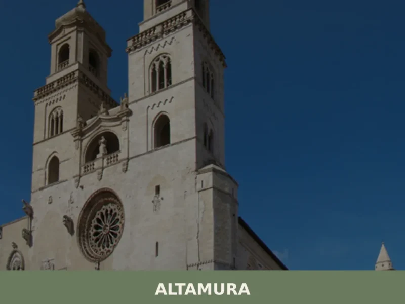
Altamura
In 1993, inside the Lamalunga limestone quarry a few kilometres from the town centre, a skeleton of Homo neanderthalensis dating back approximately 150,000 years was brought to light — one of the most complete ever found in Europe. That discovery changed the perception of Altamura, transforming it from a bread-making town into a site of […]
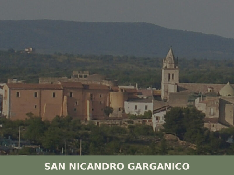
San Nicandro Garganico
A hilltop settlement on the Gargano promontory with a Norman castle, prehistoric dolmen, and a living agricultural culture shaped by wheat, olives, and limestone.
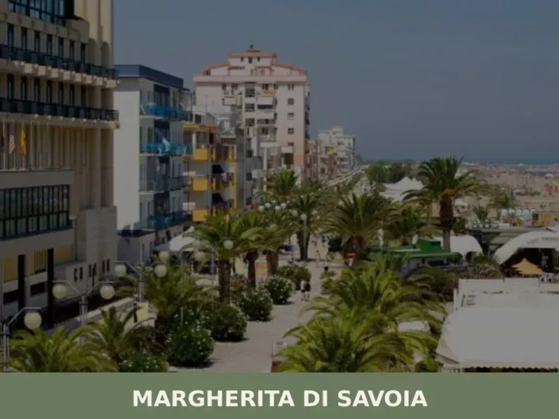
Margherita di Savoia
Discover what to see in Margherita di Savoia: Europe's largest salt flats, the historic Torre delle Saline, thermal baths and an Adriatic beach in Puglia.
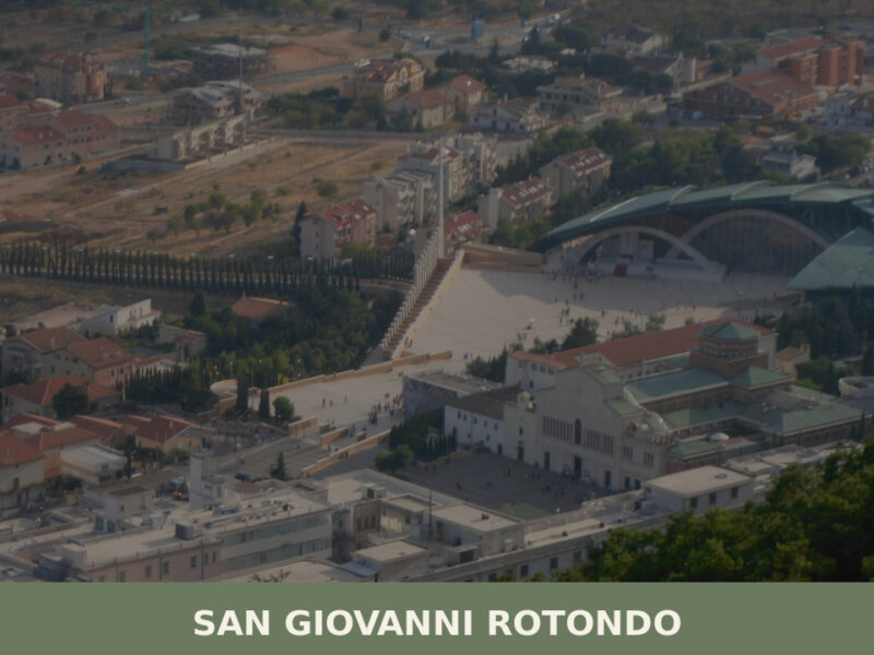
San Giovanni Rotondo
San Giovanni Rotondo, in the Apulian Gargano, combines faith, medieval history, and nature. Discover the must-see attractions, traditional dishes, and tips for visiting Padre Pio's hometown.
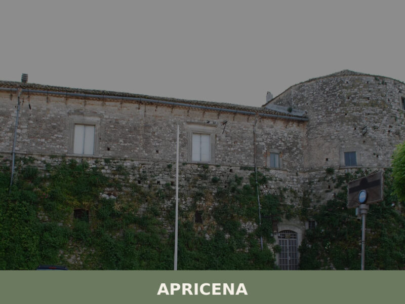
Apricena
Discover Apricena, a stone-quarrying town in Puglia's Gargano area. Explore medieval heritage, local cuisine, and authentic Southern Italian charm.
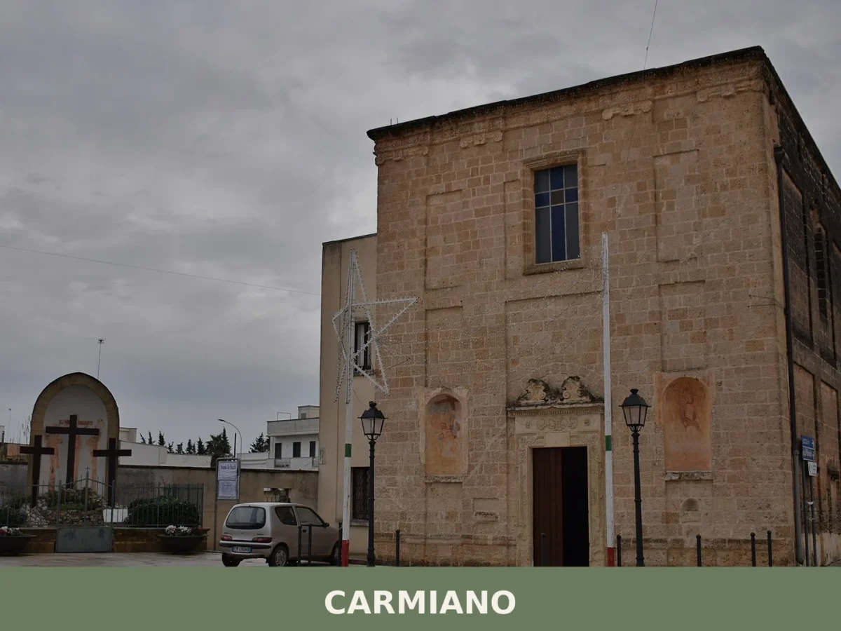
Carmiano
A comune of 11,660 souls in the northern Lecce province, Carmiano anchors its identity in medieval palaces, baroque altars, and the veneration of Maria Immacolata.
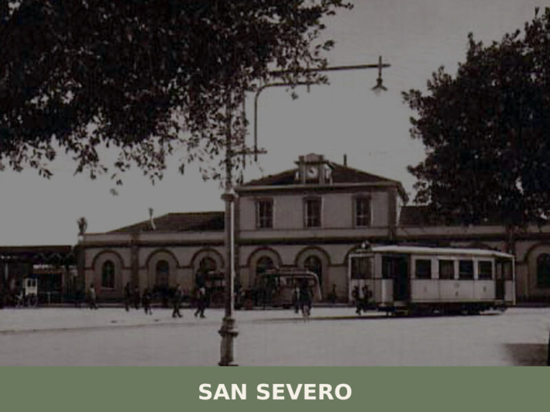
San Severo
A ridge-top village above the Tavoliere plain in Foggia province, San Paolo di Civitate holds Roman ruins, Norman battlefield history, and an unhurried agricultural life.
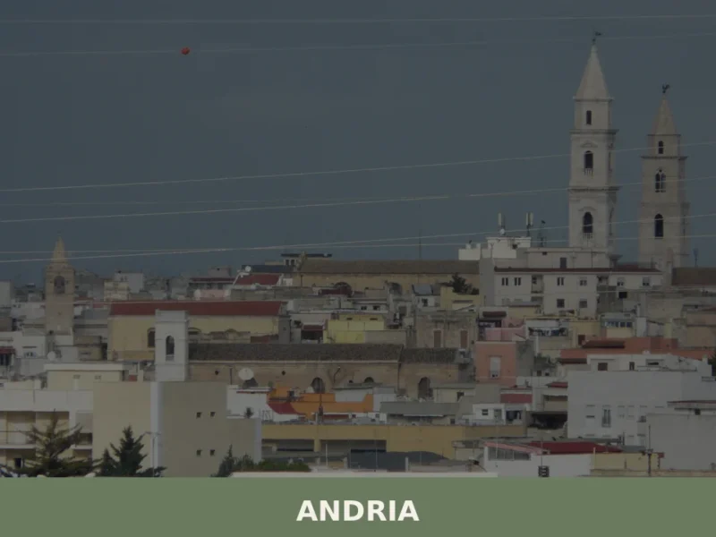
Andria
What to see in Andria, Puglia, Italy: explore Castel del Monte UNESCO site, the Cathedral crypt, and local products. Population 97,146. Discover the complete guide.


🏡 Know Mottola better than we do?
If you’re a local or have been there, your knowledge matters: add what’s missing or fix a detail on this page.