


Zerba
With just 71 registered inhabitants, Zerba is the least populated municipality in the entire province of Piacenza and one of the smallest in Italy. Situated at 906 metres above sea level in the upper Val Boreca, on the border between Emilia-Romagna and Liguria, this mountain settlement retains a sandstone building fabric that follows precise construction […]
Discover Zerba
With just 71 registered inhabitants, Zerba is the least populated municipality in the entire province of Piacenza and one of the smallest in Italy. Situated at 906 metres above sea level in the upper Val Boreca, on the border between Emilia-Romagna and Liguria, this mountain settlement retains a sandstone building fabric that follows precise construction principles, dictated by the harsh climate and geographical isolation. Asking what to see in Zerba means preparing for a territory where geology and mountain rural life have determined every human choice, from the orientation of the houses to the placement of the paths.
History and origins of Zerba
The place name “Zerba” appears in medieval documents in the form Cerba or Zerba, probably derived from a pre-Latin word linked to the shape of the terrain or local vegetation. The area belonged to the holdings of the Malaspina, the powerful feudal family that controlled large sections of the Ligurian-Emilian Apennines between the 12th and 14th centuries. The territory subsequently passed under the dominion of the Fieschi and then the Landi, following the complex political events that affected the border between the Duchy of Parma and Piacenza and the Republic of Genoa.
Its frontier position has profoundly shaped the history of the municipality. Zerba lay along one of the connecting routes between the Po plain and the Ligurian sea, travelled by merchants, smugglers and, during the Second World War, by partisan formations operating in the upper Val Trebbia and Val Boreca. The Resistance left tangible marks on the territory: plaques, memorial stones and dedicated paths recall episodes documented by local historiography.
The establishment of the autonomous municipality dates back to the post-unification period. Over the course of the 20th century, depopulation drastically reduced the resident population — from several hundred inhabitants at the start of the century to the current 71 — a phenomenon common to many centres in the Piacenza Apennines that has nevertheless helped preserve the original urban layout of the hamlets. More detailed information on the administrative structure is available on the official website of the Municipality of Zerba.
What to see in Zerba: 5 attractions not to overlook
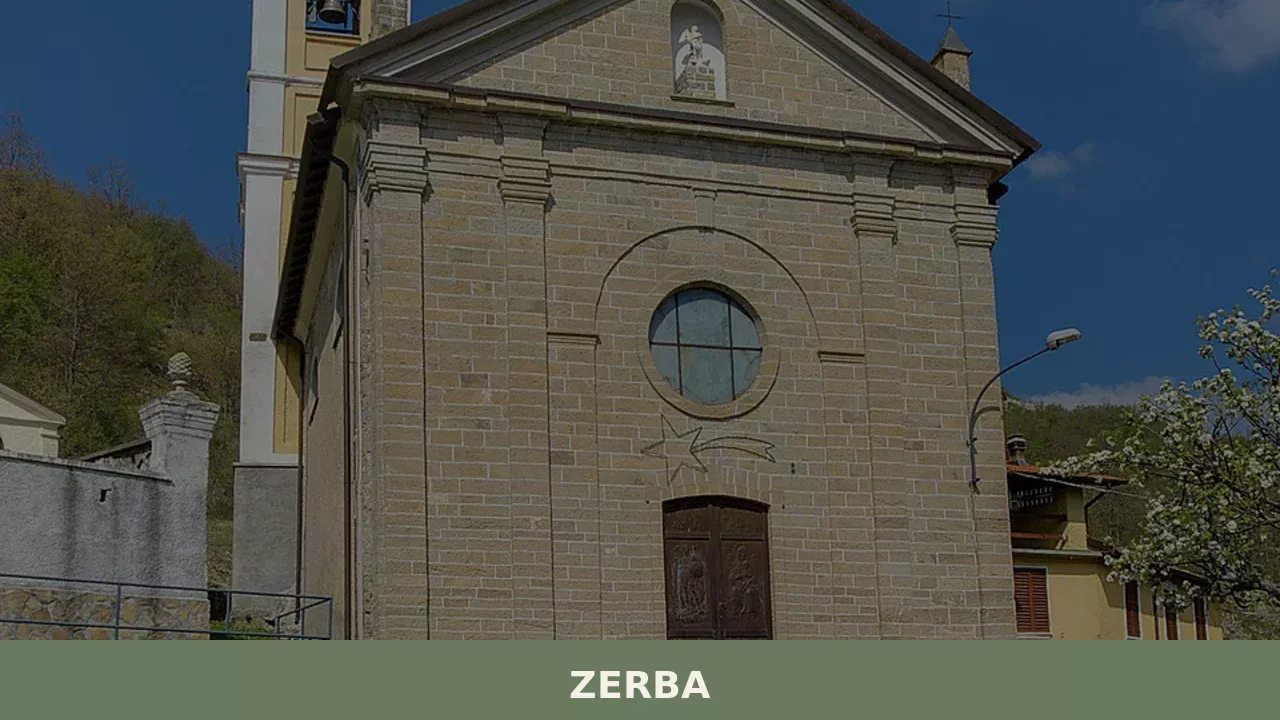
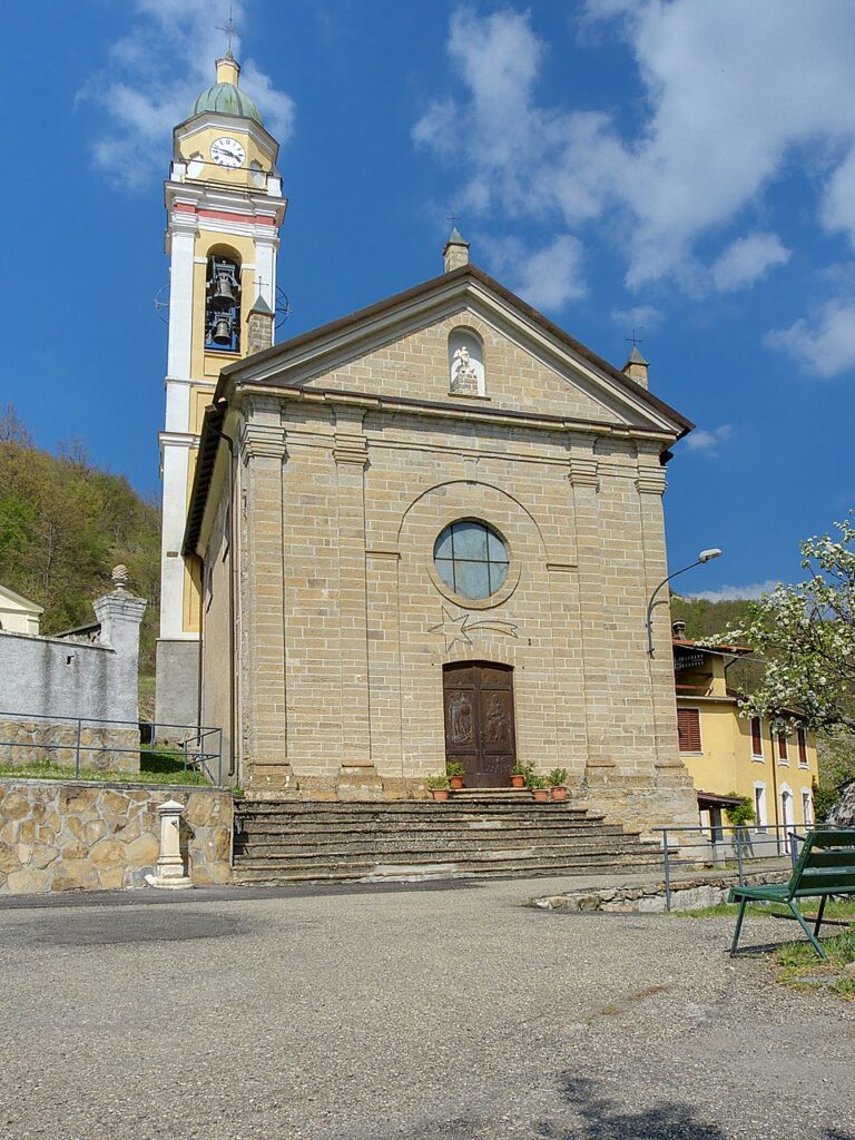
1. Church of San Michele Arcangelo
Dedicated to the patron saint of the village, the parish church is the community’s main building. The structure, in local stone, has a simple layout consistent with the religious architecture of the Piacenza Apennines. The interior retains items of sacred furnishing of modest craftsmanship but in keeping with the devotional tradition of the valleys. The feast of San Michele, celebrated on 29 September, is one of the few occasions when the village visibly fills with people again.
2. Val Boreca and the abandoned villages
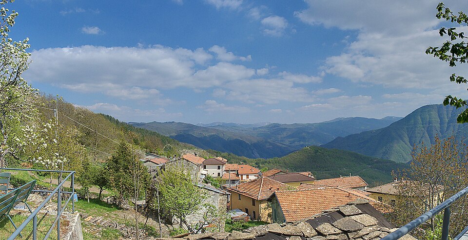
Zerba is the main point of access to the Val Boreca, one of the most isolated valleys in the northern Apennines. The hamlets of Belnome, Traschio, Suzzi and Cegni — some completely uninhabited, others with seasonal residents — display vernacular sandstone architecture with stone slab roofs. The dry-stone walls, communal ovens and stables built into the dwellings document a self-sufficient settlement system that has now dissolved.
3. The Postman’s Path and hiking network
The so-called “Sentiero del Postino” (Postman’s Path) retraces the route the letter carrier followed on foot to reach the isolated hamlets of the valley. The trail follows high-altitude mule tracks with significant elevation changes and exposed sections. The local path network, marked by the CAI (Italian Alpine Club), connects Zerba to Ottone and the neighbouring valleys, crossing beech forests and summit grasslands that exceed 1,500 metres.
4. Monte Chiappo and the Apennine ridge
From the municipal territory you can reach Monte Chiappo (1,699 m a.s.l.), a point where Emilia-Romagna, Lombardy and Liguria converge. From the summit, on days with good visibility, the Alpine arc is visible to the north and the outline of the Ligurian Sea to the south. The ridge carries a section of the Alta Via dei Monti Liguri, which crosses the regional border along a route well documented in hiking maps.
5. Rural architecture of the old centre
The core of Zerba retains sandstone buildings with arched doorways, external staircases made of monolithic blocks and wooden balconies. The houses follow a precise functional layout: stable and cellar on the ground floor, living quarters on the upper floors, hayloft in the attic. This building model, repeated with minimal variations in the surrounding hamlets, is documented in detail in the Wikipedia entry on Zerba.
Local cuisine and regional products
The cuisine of Zerba reflects the subsistence diet of the Piacenza Apennines, based on cereals, chestnuts, mushrooms, game and pork products. The dishes found in the few dining establishments in the area include pisarei e fasö (small bread dumplings with beans), polenta with porcini mushrooms, and torta fritta served with local cured meats. Pancetta piacentina DOP and salame piacentino DOP are the benchmark cured meats of the provincial territory, also found at markets in the valleys.
The harvesting of porcini mushrooms and chestnuts still represents a concrete economic activity for residents and owners of woodland. In the hamlets of the Val Boreca, hard cow’s milk cheeses were traditionally produced in small quantities using techniques passed down orally. Today, dining options in the area are limited to a handful of trattorias and agriturismo establishments, concentrated between Zerba and the nearby municipality of Ottone, where availability is seasonal and often requires booking in advance.
When to visit Zerba: the best time
The most favourable period to reach Zerba runs from May to October. Summer offers moderate temperatures — rarely above 28 °C — making the area a practical destination for those seeking cool elevations without travelling far from the plain. September and October bring the changing colours of the beech forests and the mushroom season, when the village sees its highest number of outside visitors. Winter is severe: snow covers the territory for weeks, and some secondary roads can become impassable without chains or appropriate tyres.
The feast of San Michele Arcangelo, on 29 September, is the main event in the local calendar. During the summer, food festivals and gatherings are occasionally organised in the hamlets, but the programme varies and depends on the availability of the few residents. To check for any scheduled events, it is advisable to consult the Touring Club Italiano or contact the municipal office directly.
How to get to Zerba
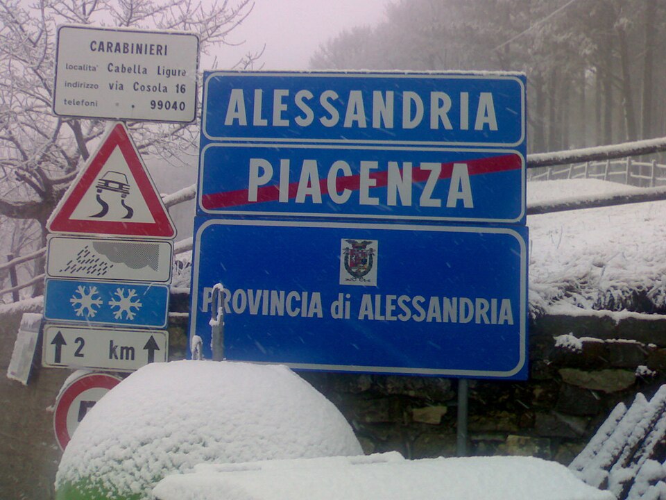
Zerba can only be reached by road. From Piacenza (approximately 75 km) you take the SS 45 along the Val Trebbia to Ottone, then continue on the provincial road to Zerba with a stretch of about 15 km of hairpin bends. From Genoa the distance is approximately 90 km, also via the Val Trebbia. From Milan, the journey is around 150 km via the A21 motorway to Piacenza and then provincial roads.
The nearest railway station is Piacenza, served by regional and Intercity trains on the Milan–Bologna line. The reference airport is Milan Linate (approximately 130 km), followed by Genoa (approximately 110 km) and Parma airport (approximately 120 km). There are no direct public transport connections to Zerba: a car is the only viable option. It is recommended to check road conditions during the winter season, as the final stretch towards the village crosses elevations above 800 metres.
What to see in Zerba and in nearby villages across Emilia-Romagna
The Piacenza Apennines include several centres that share with Zerba the condition of low-density mountain settlement, each with its own distinctive features. Morfasso, located further east within the same Apennine belt, is known for its proximity to the Provincial Park of Monte Moria and for the Romanesque church of San Lorenzo at Monastero. Comparing the two centres is instructive: Morfasso maintains a larger population and a level of services that Zerba has progressively lost.
Descending towards the plain, the landscape changes radically. San Pietro in Cerro, in the lower Piacenza province, represents the opposite end of the spectrum: a flatland village with a Renaissance castle that houses the MIM – Industrial Motorcycle Museum. Visiting both centres in the same day — roughly 100 km apart — allows you to cross the entire geological cross-section of the province, from the Apennine ridge down to the level of the Po, and to measure first-hand the diversity of a territory often perceived as uniform.
📷 Photo Gallery — Zerba
Nearby Villages near Zerba
In Emilia-Romagna More villages to discover
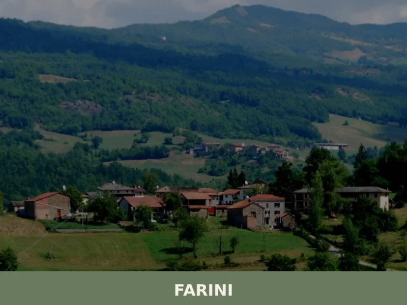
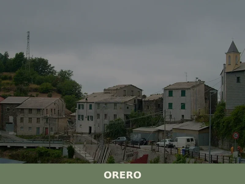
Farini
What to see in Farini, a village at 424 m in Val Nure with 1,043 residents: San Giuseppe Church, Apennine trails, PDO cured meats. Plan your visit and how to get there.
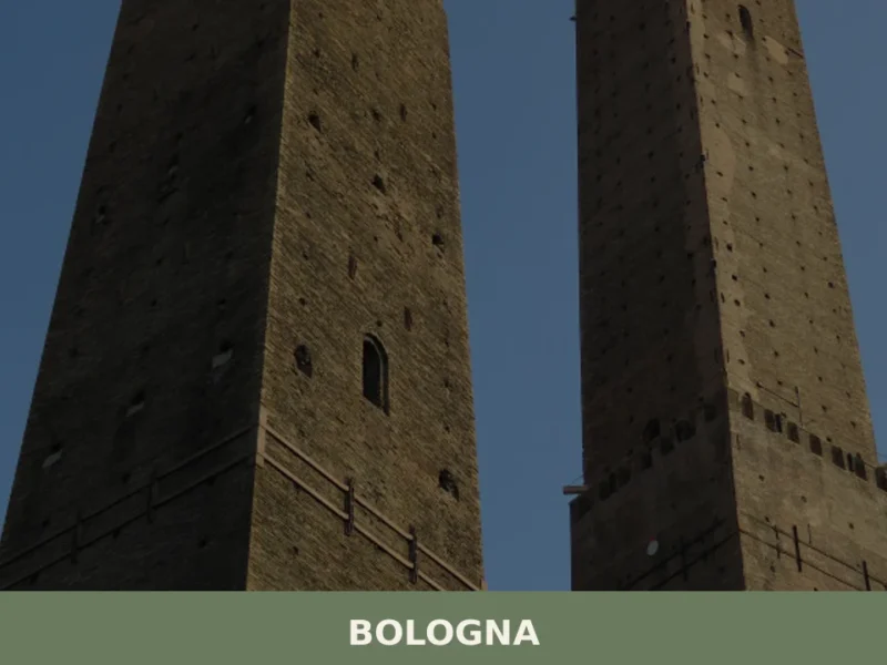
Bologna
What to see in Bologna: 388,000 inhabitants, UNESCO porticoes and the Two Towers. Plan your visit with our guide to tortellini, Mortadella IGP and top museums.
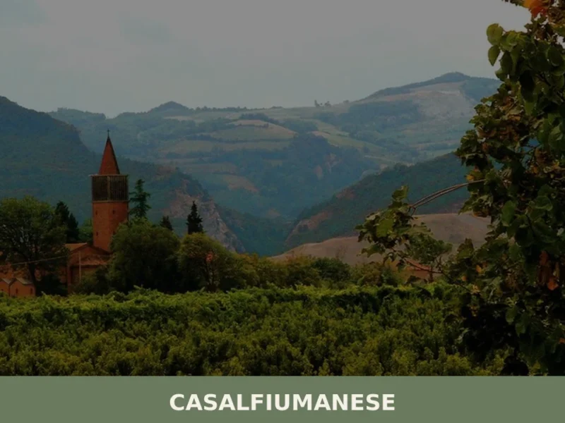
Casalfiumanese
About twenty kilometres from Imola, along the valley of the Sillaro stream, the municipal territory of Casalfiumanese stretches between the lower plain and the first hills of the Bolognese Apennines, covering an elevation range from 50 to nearly 500 metres above sea level. The main town, sitting at 125 metres above sea level, has approximately […]
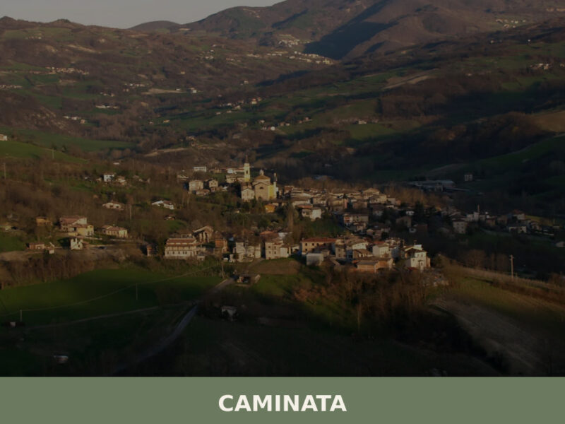
Caminata
Caminata sits at 364 metres in the Val Tidone, Piacenza province. A guide to its church, trails, Apennine food traditions, and surrounding landscape.
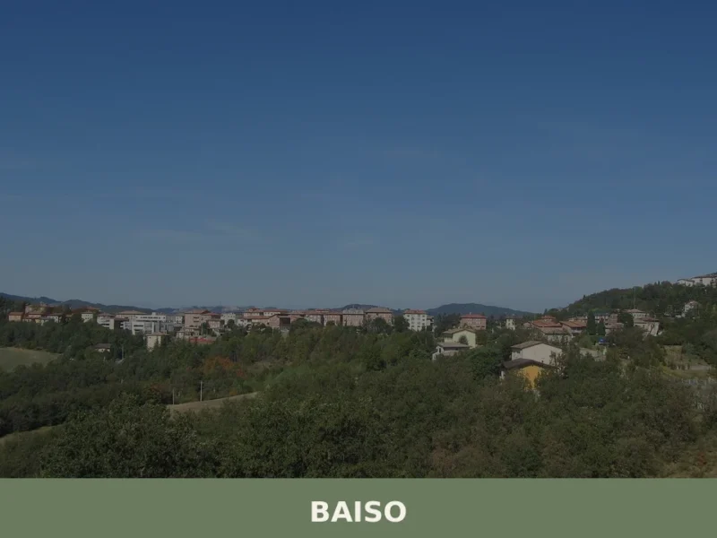
Baiso
The ridge road into Baiso levels out at 542 m (1,778 ft) above the Po Plain and delivers a view across the Apennine foothills that is measurable rather than vague: the valley floors of the Secchia drainage basin lie several hundred metres below, and the profiles of Carpineti and Castellarano mark the horizon to the […]
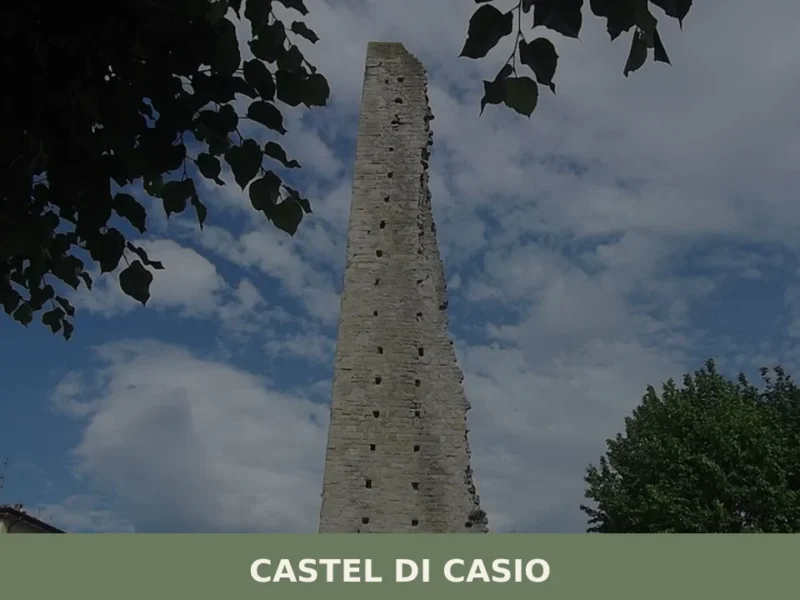
Castel di Casio
In February 1944, during the German retreat along the Gothic Line, the bridges over the Limentra di Treppio torrent were blown up one by one, cutting the territory of Castel di Casio in two. That act of destruction left a lasting mark on the collective memory of a mountain municipality that, as far back as […]
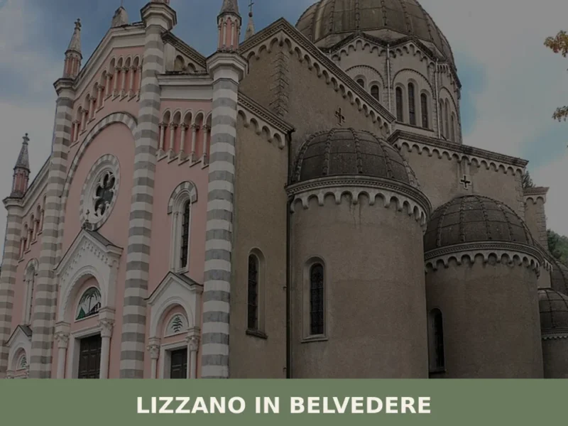
Lizzano in Belvedere
Every year, on 17 August, the procession in honour of Saint Mamante winds its way up the streets of Lizzano in Belvedere to the parish church, following a ritual that has been repeated since at least the 15th century. This municipality of 2,314 inhabitants, situated at 640 metres above sea level on the Bolognese Apennines, […]
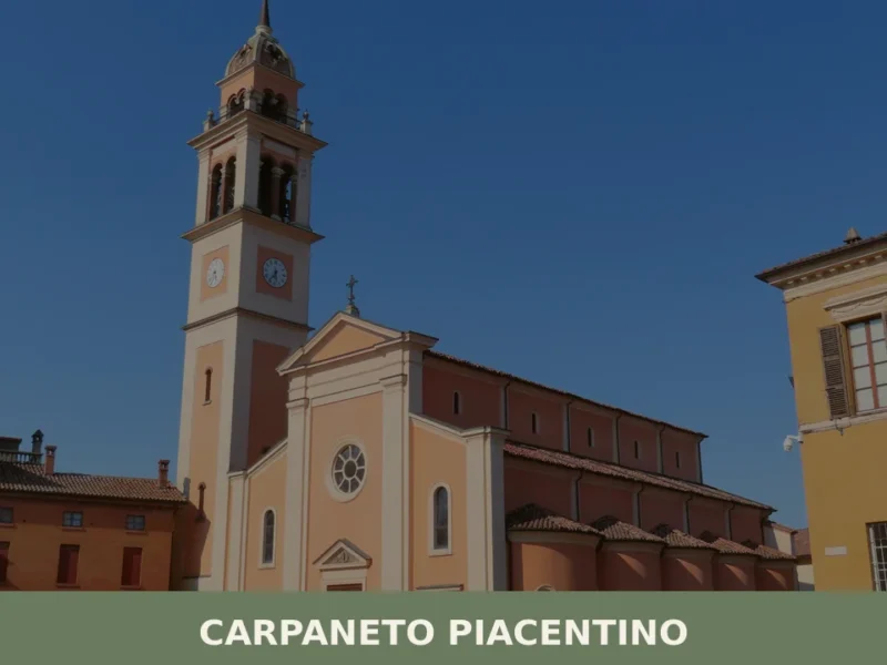
Carpaneto Piacentino
What to see in Carpaneto Piacentino: 7,598 residents, 114 m altitude, Saints Fermo & Rustico festival on 9 Aug, DOP cured meats. Plan your visit now.
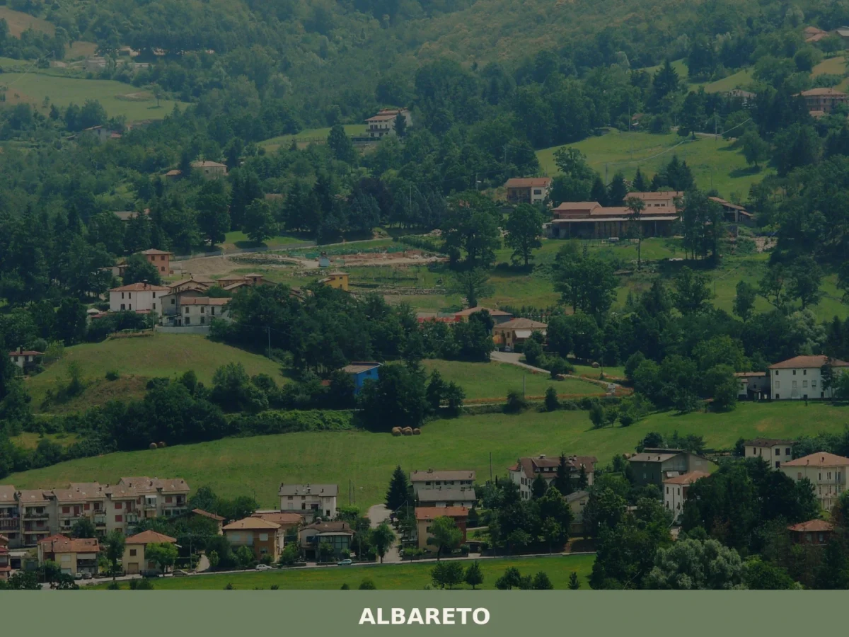
Albareto
What to see in Albareto? Explore 5 must-see attractions and the most charming spots in this Emilia-Romagna village. Plan your visit!
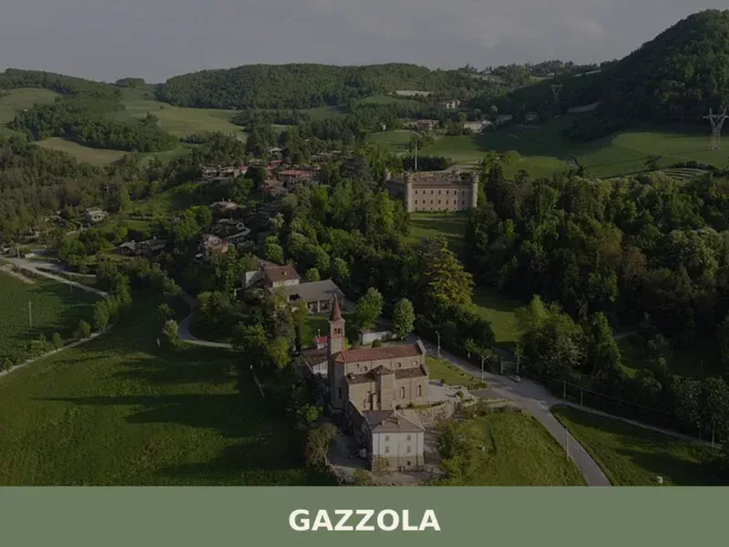
Gazzola
What to see in Gazzola, a Piacenza hill village at 146 m with 2,050 residents. Explore Rivalta Castle, the Luretta valley and Colli Piacentini DOC wines. Plan your visit.


🏡 Know Zerba better than we do?
If you’re a local or have been there, your knowledge matters: add what’s missing or fix a detail on this page.