


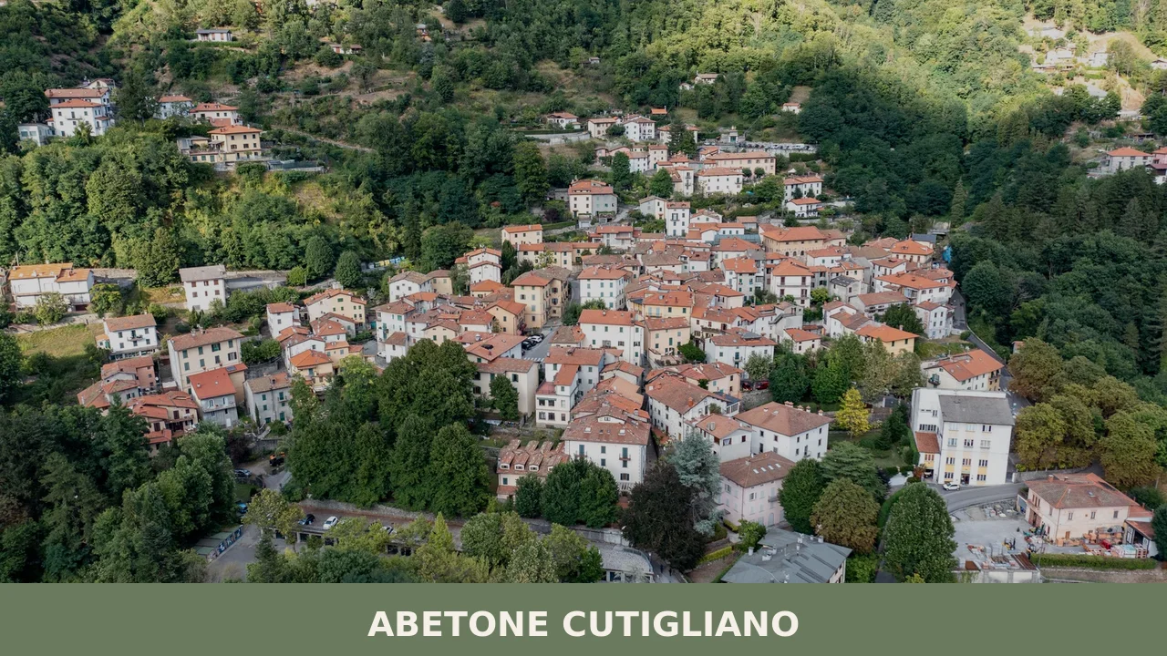
Abetone Cutigliano
 Mountain
A 1,829-resident mountain comune in Pistoia province, Abetone Cutigliano unites two separate communities through alpine churches, natural reserves and access to the Apennine ridge.
Abetone Cutigliano: Mountain Village and Municipal Identity in Pistoia
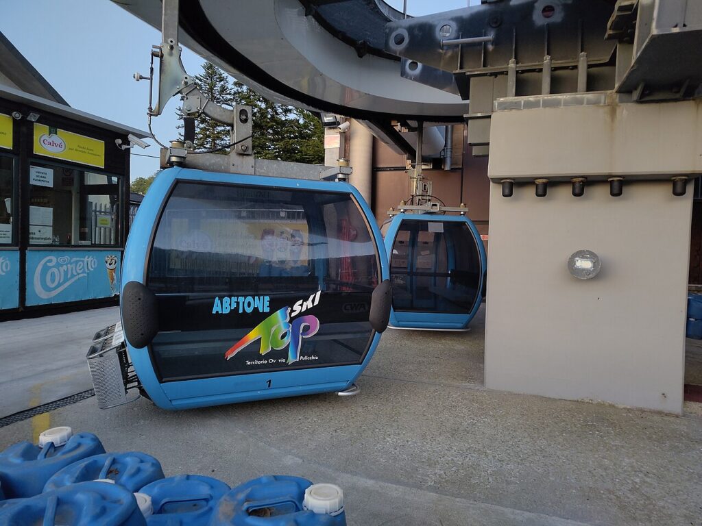
Stone walls rise into mountain air at Abetone Cutigliano, where the scent of pine and cool altitude define the rhythm of settlement. The sound of the cable car ascending to Doganaccia mingles with church bells across two separate centres—a landscape built on merger, not merger’s absence, forged in 2017 when two centuries of separate lives became one municipality.
Abetone Cutigliano village in Tuscany occupies the high country of the Pistoia province at 678 metres elevation, where alpine reserves shelter rare ecosystems and a network of seven churches mark faith across distinct quarters. Two principal towns define this scattered comune: Cutigliano, administrative heart and lower settlement, and Abetone, perched at 1,388 metres high, each with its own voice.
The 2017 Merger and Municipal Identity
On 1 January 2017, the separate comuni of Abetone and Cutigliano unified into a single administration. The decision brought together two populations with distinct identities—one rooted in lower-elevation settlement and agrarian tradition, the other shaped by higher elevation and mountain economy. The new civic symbols, granted by presidential decree on 27 January 2020, merged the heraldic emblems of both predecessors into a single shield and banner of blue and gold, an official recognition of the combined territorial claim.
This merger required the creation of shared governance while respecting the autonomy of each centre. Cutigliano, at 399 inhabitants, serves as the administrative seat (capoluogo). Abetone, with 167 residents, remains the higher municipality, extending across terrain that once belonged solely to its namesake comune. A third settlement, Doganaccia, completes the scattered pattern of this municipality of 1,826 inhabitants, shaped by altitude and climate zone E classification.
Sacred Sites Across the Territory
Chiesa di San Bartolomeo, Cutigliano
The Church of San Bartolomeo stands in Cutigliano, honouring one of the municipality’s two patron saints. San Bartolomeo Apostolo holds particular significance for the lower centre, marking generations of devotion within the administrative heart. The church remains a reference point for pilgrims following the Cammino di San Bartolomeo, a long-distance route connecting sites dedicated to the apostle across Italy.
Chiesa di San Leopoldo, Abetone
In the higher settlement, the Church of San Leopoldo is dedicated to Leopold II, Grand Duke of Tuscany (1797–1870), the civil promoter of the borgo’s foundation. While the church bears his name, the religious patron saint of Abetone is San Bartolomeo Apostolo, shared with Cutigliano. Positioned at 1,388 metres, this church carries the weight of altitude and isolation, serving as a beacon for the small community that inhabits one of Tuscany’s most elevated inhabited zones.
Chiesa della Madonna di Piazza, Cutigliano
The Church of the Madonna di Piazza occupies the main square of Cutigliano, integrating sacred space with civic life. Its position within the plaza signals the medieval logic of settlement, where worship and commerce, faith and daily movement, occupy the same threshold.
Additional Churches of Scattered Fractions
Several further churches serve the more remote frazioni, including the Church of San Giovanni Crisostomo in Melo, the Church of Santi Maria and Cirillo in Pian degli Ontani, and San Policarpo in Pianosinatico. Each chapel reflects the dispersed pattern of mountain settlement, where altitude and distance required local worship rather than centralized pilgrimage.
Natural Reserves and Landscape
The municipality contains two protected natural areas: the Riserva naturale Abetone and the Riserva naturale Campolino. These reserves preserve alpine and sub-alpine ecosystems characteristic of the northern Apennines, where fir and beech forests create corridors of flora that respond to altitude and continental air currents. The low atmospheric diffusivity of the zone, recorded by CNR Ibimet surveys, means that air quality remains stable, undiluted by plain-level pollution.
The landscape visible from either centre—Cutigliano’s 678 metres or Abetone’s near-summit position—commands views across Tuscany’s upper reaches. The Strada Statale 12 dell’Abetone e del Brennero cuts through the territory, a historic route connecting lowland Tuscany to mountain passes of the northern Apennines and the Brennero corridor beyond, carrying commerce and pilgrimage for centuries.
Transport and Practical Access
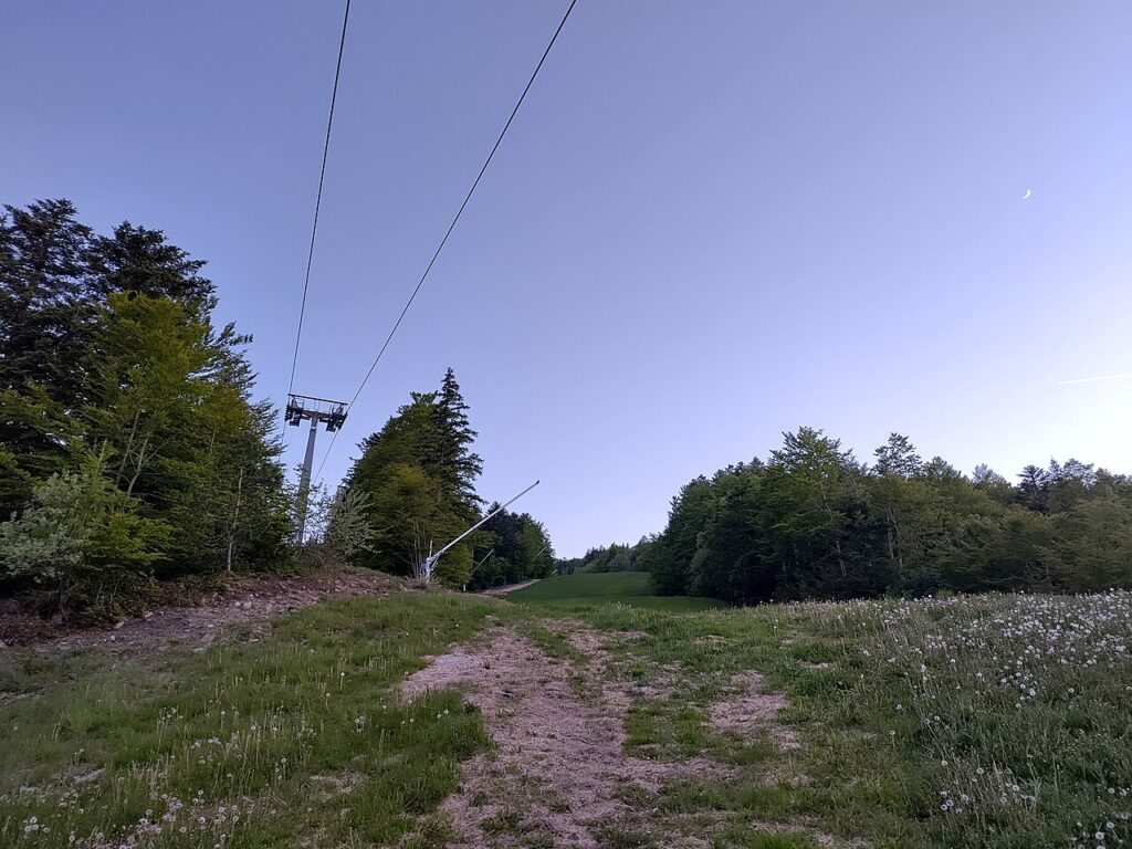
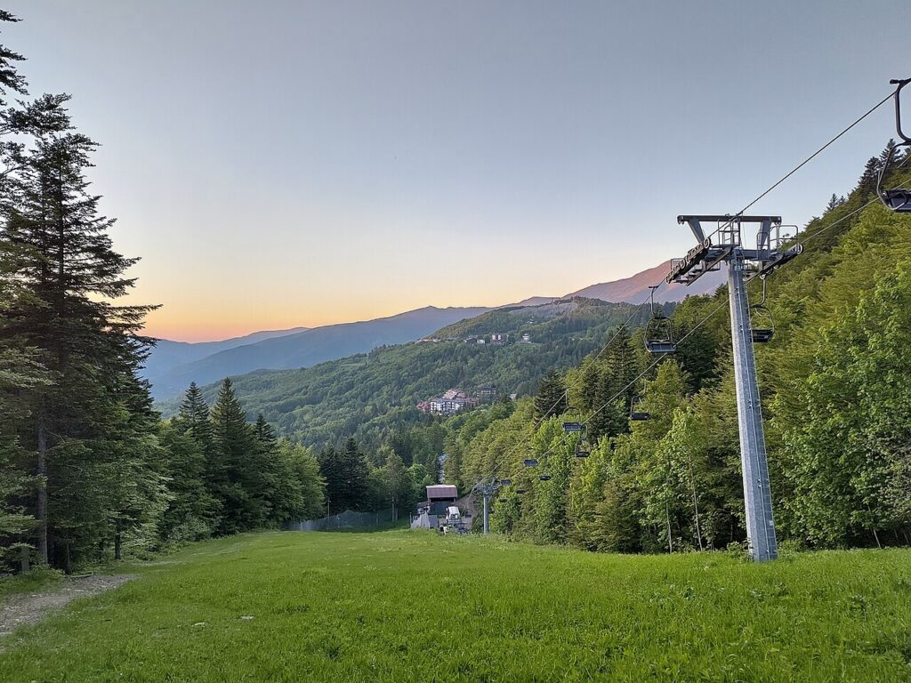
A cable car (funivia), constructed in 2003 and carrying 330 passengers per hour, links Cutigliano to Doganaccia, reducing walking time between the two fractions and opening the higher terrain to visitors seeking alpine air without the full ascent on foot. The Strada Statale 12 remains the principal road corridor, offering year-round access by vehicle from the province capital and neighbouring towns.
| Departure Town | Distance | Approximate Time |
|---|---|---|
| Pistoia | 45 km | 1 hour |
| Montecatini-Terme | 35 km | 50 minutes |
| Pescia | 30 km | 45 minutes |
The municipality experiences zone E climate classification (2,901 heating degree days), confirming cool summers and snow-prone winters. Visitors planning stays in late autumn or winter should prepare for mountain weather; spring and early autumn offer milder conditions ideal for walking the natural reserves and visiting churches. The low seismic risk (zone 2, medium seismicity) reflects stable geological setting typical of consolidated Apennine terrain.
Local Flavours and Agricultural Tradition
The Patata bianca del Melo, a white potato variety native to the Melo fraction, represents the territory’s agricultural identity. The cooler climate and higher altitude of the Melo zone favour potato cultivation, and the variety has become a signature product of the area. Visitors interested in local cuisine will find this tuber used in regional preparations across both centres, connecting plate to soil in the immediate way that mountain communities preserve.
The merger of 2017 united not one village but an entire mountain sociology—two separate economies, two distinct altitudes, one shared name on documents that took a century to align.
Beyond the Patata bianca del Melo, the broader Pistoia province benefits from regional and national protected designations: Pecorino Toscano (DOP), Pane Toscano (DOP), and Prosciutto Toscano (DOP) represent the gastronomic sphere accessible via local markets and artisanal producers. The alpine altitude and lower population density of Abetone Cutigliano itself favour small-scale food culture over mass production, preserving the link between seasonal availability and local table.
Pilgrimage Routes and Cultural Corridors
Two major pilgrimage routes intersect the municipality’s territory. The Cammino di San Bartolomeo, honouring the apostle, passes through the lower centre and draws walkers following medieval devotional traditions. These routes connect Abetone Cutigliano to broader networks of faith and cultural exchange, transforming isolation into passage.
The convergence of paths—sacred and secular, ancient and modern—marks this territory as a crossroads despite its mountain remoteness.
Frequently asked questions about Abetone Cutigliano
When did Abetone and Cutigliano merge into a single municipality?
Abetone and Cutigliano officially merged on 1 January 2017, unifying two communities with distinct identities into one administration. The new civic symbols—a blue and gold shield and banner—were officially granted by presidential decree on 27 January 2020, merging the heraldic emblems of both predecessor municipalities into a single unified design.
What are the patron saints of Abetone Cutigliano?
Abetone Cutigliano honours two patron saints: San Bartolomeo Apostolo (Saint Bartholomew the Apostle) and San Leopoldo (Saint Leopold). These saints are celebrated throughout the municipality, with their feast days marking important religious and cultural moments for the community across its seven churches.
At what elevation is Abetone Cutigliano located?
The administrative centre of Abetone Cutigliano sits at 678 metres elevation in Pistoia province. However, the higher settlement of Abetone extends to nearly 1,400 metres, creating significant altitude variation across the municipality and defining its alpine character and mountain ecosystem.
What is the current population of Abetone Cutigliano?
Abetone Cutigliano has a population of 1,829 residents. This figure represents the combined population following the 2017 merger of the two separate municipalities, now administered as a single comune in the Pistoia province of Tuscany.
What natural features define the landscape of Abetone Cutigliano?
The municipality is characterized by alpine reserves that shelter rare ecosystems, stone walls rising into mountain air, and extensive pine forests. A cable car ascends to Doganaccia, while the high-altitude terrain and cool mountain climate define the settlement's natural environment and recreational opportunities.
📷 Photo Gallery — Abetone Cutigliano
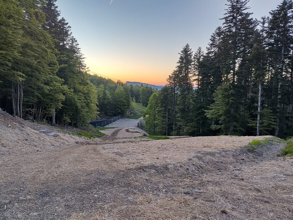
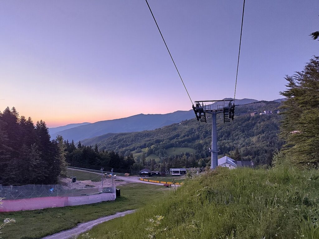
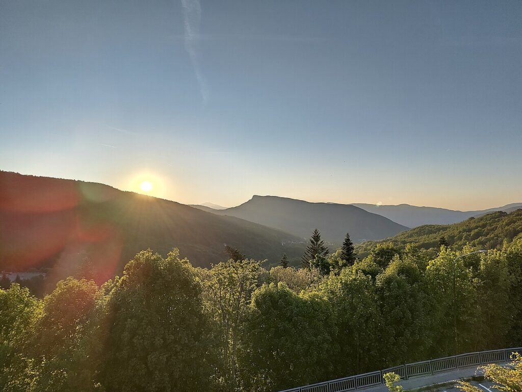
In Tuscany More villages to discover
Cerreto Guidi
 Plains
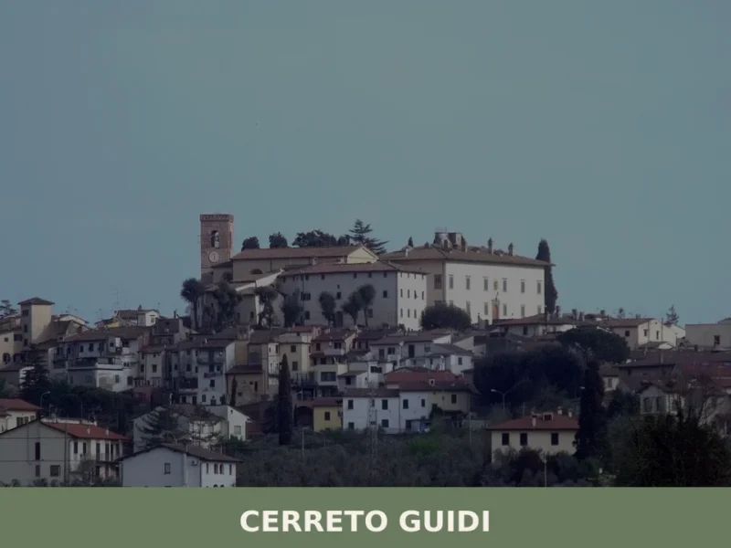
A low plain spreads west of Florence, and at 30 kilometres (19 mi) from the city the land rises just enough — to 123 metres (404 feet) above sea level — for a cluster of terracotta rooftops to stand out against the Tuscan sky. The municipality borders Empoli, Fucecchio, Vinci, and Lamporecchio, placing it at […]
Borgo a Mozzano
Plains
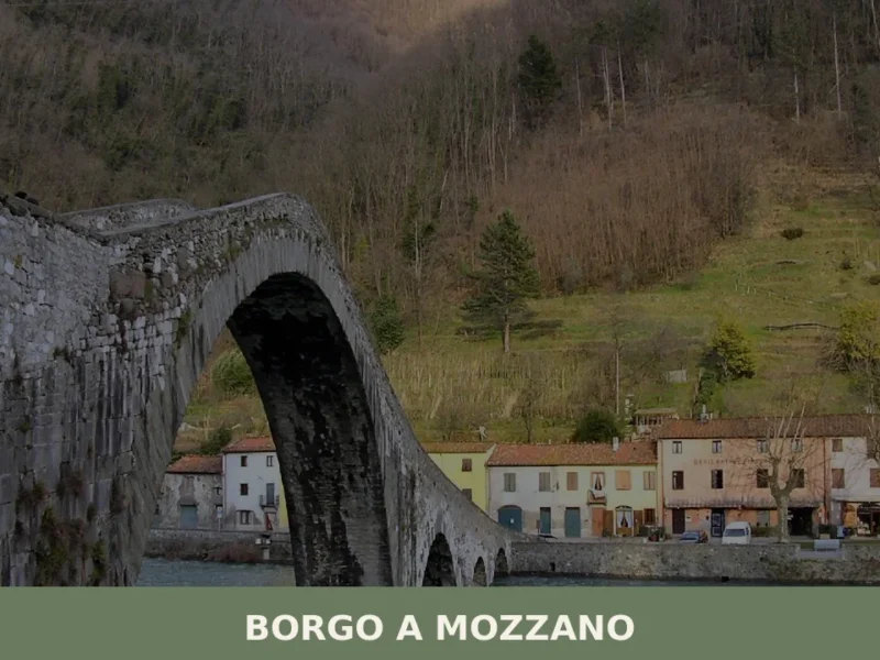
Borgo a Mozzano, Tuscany: discover the Devil's Bridge, historic churches and nearby villages. A practical guide to help you plan your visit.

Marciana
 Sea
Sea
2,058 residents, one medieval fortress and a national park at your doorstep. Marciana rewards those who climb above Elba's coastline into its stone-built historic borough.

Vicchio
 Hills
Hills
A Florentine village of 8,000 souls in the Mugello Valley, Vicchio gave the world two painters who transformed Italian art. Medieval towers, sacred art museums and Etruscan archaeology define its landscape.

San Giovanni Valdarno
Hills
Founded in 1296 as a Florentine frontier town, San Giovanni Valdarno preserves a medieval grid layout, masterpieces by Beato Angelico, and the legendary miracle of Monna Tancia.
Prato
Plains
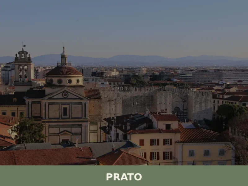
With nearly 187,000 inhabitants, Prato is the second most populous city in Tuscany and one of the largest urban centres in central Italy. Located on the plain between the Bisenzio river and the first foothills of the Apennines, the city has built a distinct identity over the centuries, defined by its textile industry, medieval art, […]
Pistoia
Plains
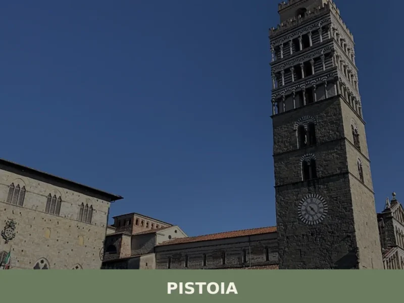
Discover Pistoia, a charming village in Tuscany, Italy. Explore its rich history, stunning architecture, and authentic Italian culture off the beaten path.
Comano
Hills
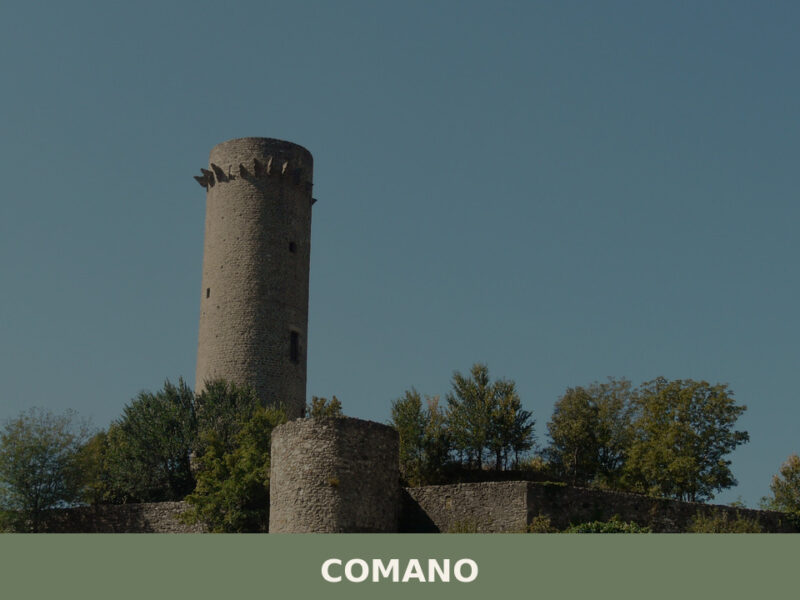
Morning fog lifts slowly from the Taverone valley, revealing stone walls the colour of weathered bone. A church bell marks the hour — its echo rolls across chestnut groves before dissolving into silence. Comano sits in the upper Lunigiana, a commune of scattered hamlets across the hills of Massa e Carrara province, home to just […]
Casale Marittimo
Hills
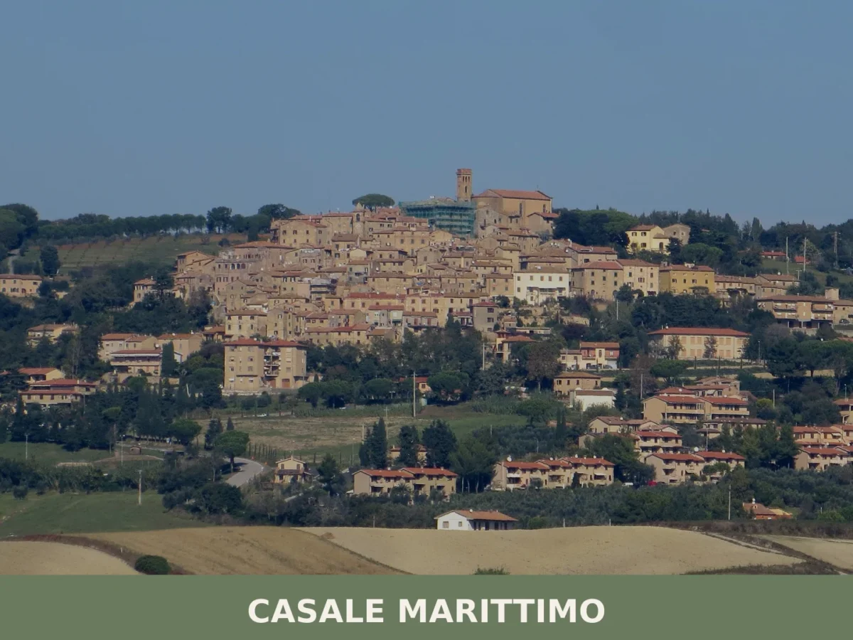
Home to around 1,073 residents, Casale Marittimo offers Etruscan archaeology, medieval architecture and the flavours of the Pisan Maremma in a compact hilltop setting.
Bagnone
Hills
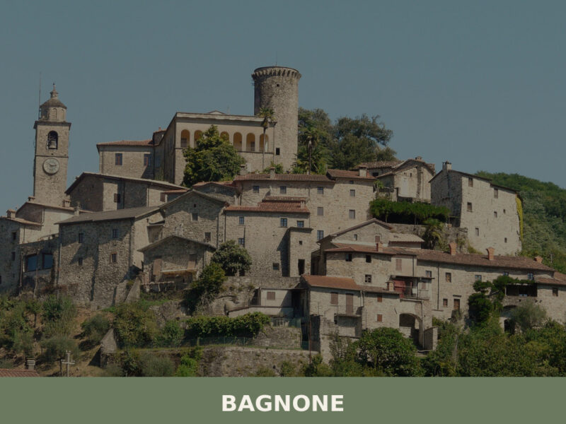
Morning mist lifts off the Bagnone creek and thins against stone walls that have stood since the eleventh century. The sound of water — always water — fills the narrow lanes, running beneath bridges and alongside houses built directly into the rock. With fewer than two thousand residents, this small settlement in the Massa e […]


🏡 Know Abetone Cutigliano better than we do?
If you’re a local or have been there, your knowledge matters: add what’s missing or fix a detail on this page.