


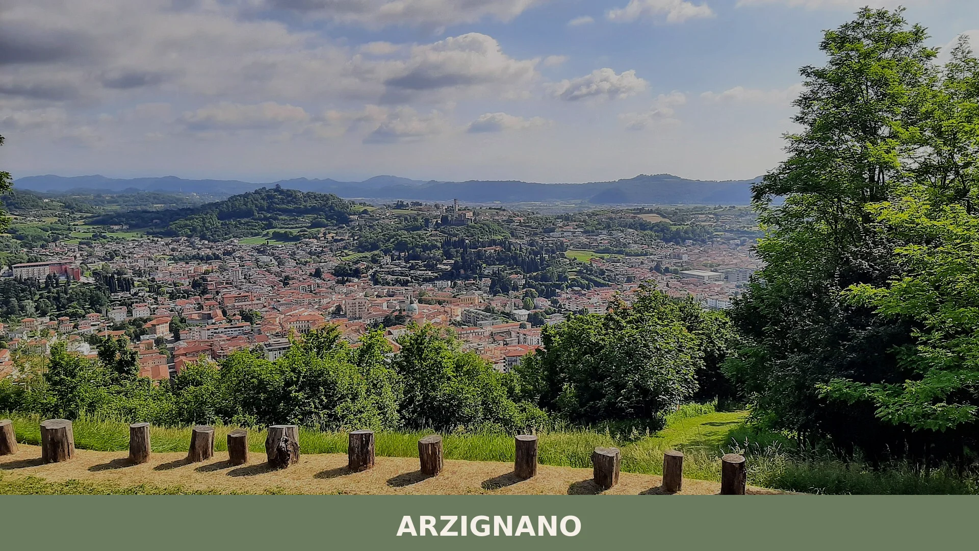

Arzignano is a town of around 25,700 inhabitants in the province of Vicenza, set at the mouth of the Valle del Chiampo where centuries of settlement have left prehistoric, Roman, medieval and modern t
Discover Arzignano
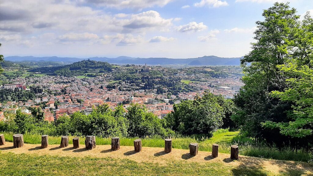
Arzignano is a town of around 25734 inhabitants in the province of Vicenza, Veneto, set at 118 metres above sea level at the mouth of the Valle del Chiampo, where the torrente Chiampo flows down from the Monti Lessini toward the Veneto plain. The hills close in from the north and west — with the Parco naturale regionale della Lessinia above and Monte Calvarina to the west — while the valley opens southward toward the river Guà and the broader plain beyond. Long associated with its conciario (tanning) and mechanical industries, the town also preserves a layered historical record stretching from Neolithic finds in the surrounding hills through Roman infrastructure, a medieval Rocca, and a walled siege in the winter of 1413.
What makes Arzignano village in Veneto worth understanding as a destination is the concentration of distinct historical strata within a compact and walkable area: a Bronze Age hilltop settlement beside the church of San Matteo, a Roman bridge in white stone at San Bortolo, a Scaligera-era Rocca del Castello, five named churches, and a living tradition of roadside votive chapels maintained by local communities — all within a municipality of just over 34.26 square kilometres.
Arzignano village in Veneto: history from prehistory to the modern era
Arzignano has been continuously settled since at least the Neolithic period, grew into a strategically significant centre during Roman times, withstood a military siege in 1413, and suffered bombardments and wartime requisitions during both World Wars. The hills surrounding the town have yielded prehistoric finds, while the valley floor preserves the remains of Roman infrastructure and a Bronze Age hilltop settlement beside the small church of San Matteo — a spianata of around 1,000 square metres with a cluster of squared boulders that predates the medieval Rocca di Castello built above it.
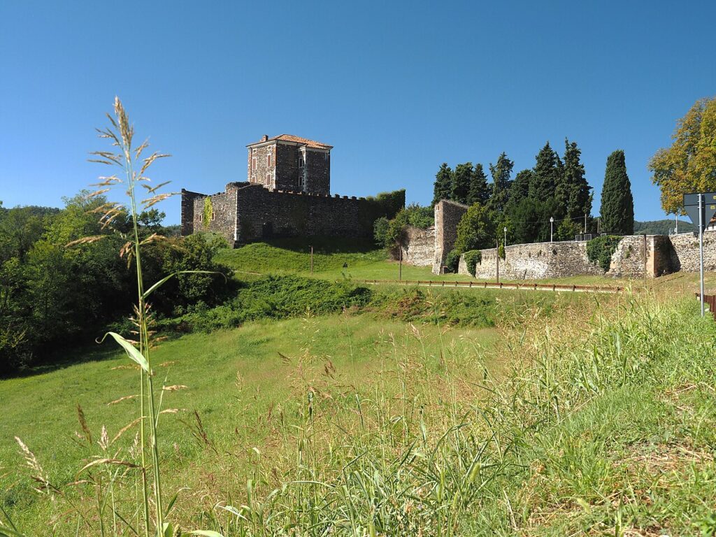
Roman presence left a lasting mark on the territory. A bridge in white stone, known as the Ponte di Casteneda or Ponte di San Bortolo and composed of two low arches, is traditionally attributed to the Roman period, and the town’s position at the mouth of the Chiampo valley placed it along the ancient route running from Verona to Friuli. In an earlier phase, probably Venetic, a timber platform was laid across the river to secure a ford downstream of where the stone bridge would later stand. The current Rocca del Castello is of Scaligera construction and is thought to have risen on the remains of an earlier Roman fortification on the same hill.
At the end of January 1413, forces under Filippo Buondelmonti degli Scolari — known as Pippo Spano — laid siege to the castle of Arzignano during a campaign waged by Sigismondo, King of Hungary, against the Republic of Venice. The siege held for several days before being lifted on 5 February 1413, the feast day of Saint Agata, to whom the townspeople had made a vow. According to local tradition, the defenders also threw provisions from the castle walls to convince the besieging army that their supplies were plentiful. The grifone, Arzignano’s civic symbol, appears on a bronze bell of the church of San Matteo Apostolo dated 1583, bearing the inscription C.A.F. — Communitas Arzignani Fecit — with the earliest known image of the creature carved on a relief panel at the portal of the church of Castello, dating to the first half of the fifteenth century.
In the First World War, many buildings in Arzignano were converted into hospitals for wounded soldiers and civilians, the town lying close to the front lines. During the Second World War, aerial bombardments struck the Pellizzari factories, the bridge at Tezze and the local elementary school there; the Ines Bonazzi nursery was requisitioned as a military hospital. Decades later, in the 1960s to 1980s, debris excavated from the Cava del Main quarry was dumped on land beside the Chiampo riverbed — the area now occupied by the Parco dello Sport — raising the ground level and reducing the natural flood capacity that had long protected the town centre.
Castles, Churches and Votive Chapels: Arzignano’s Built Heritage
Arzignano preserves two medieval fortifications, five churches open to visitors, and a scattering of roadside votive chapels, all concentrated around the historic Borgo di Castello and the valley floor below it.
Castello di Arzignano and the Rocca di San Matteo
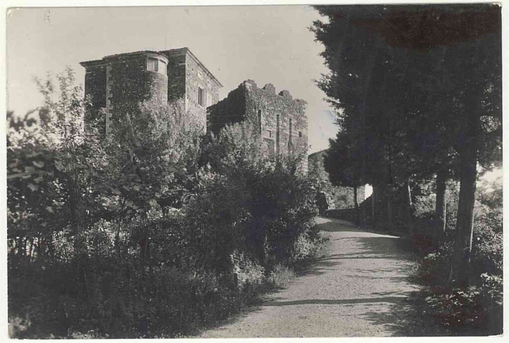
The Rocca del Castello dates from the Scaligera period and was most likely raised over the remains of an earlier Roman fortification. Its strategic position on the hill above the Borgo di Castello made it the focal point of one of the most dramatic episodes in the town’s history: at the end of January 1413, troops under Filippo Buondelmonti degli Scolari — known as Pippo Spano, acting in the service of Sigismondo, King of Hungary — placed the castle under siege. The townspeople made a vow to Sant’Agata and reportedly threw provisions from the walls to convince the besiegers that supplies were not running short. The siege was lifted on 5 February 1413, the feast day of the saint. Above the Rocca, on the summit of the San Matteo hill, stand the remains of a far older structure: a Bronze Age castellaro occupying a levelled area of roughly 1,000 square metres beside the small church of San Matteo. Within it rises a mound of squared stone blocks, predating the medieval fortifications by many centuries.
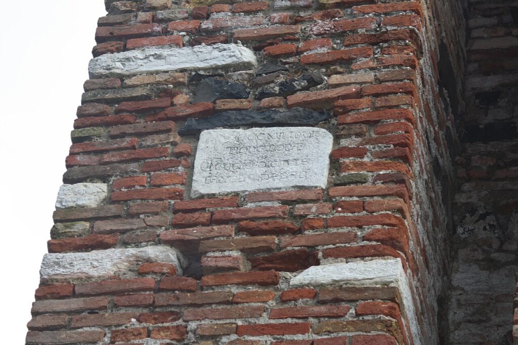
The earliest known image of the griffin — symbol of Arzignano — appears as a bas-relief on a portal panel of the church arcipretale di Castello, dating from the first half of the fifteenth century. A later rendering of the same emblem, accompanied by the inscription C.A.F. (Communitas Arzignani Fecit), was cast on the bronze bell of the church of San Matteo Apostolo in 1583.
Churches
The principal parish of Arzignano is the church of Ognissanti. The town also has four further named churches: San Giovanni Battista, the Santi Sebastiano e Rocco, the Visitazione della Beata Vergine Maria, and San Girolamo. A church dedicated to Sant’Agata is associated with the 1413 vow.
Ponte di Casteneda (Ponte di San Bortolo)
On the bed of the Chiampo, just upstream from the modern bridge of San Bortolo, the remains of an ancient bridge in white stone are still visible. It consists of two low arches; the archivolt is formed by a ring of well-cut trapezoidal voussoirs, visible on both the upstream and downstream faces, with river cobbles filling the interior. Local historians have long attributed its construction to the Roman period, though no documentary evidence confirms this. In recent decades the structure was consolidated with cement to resist flooding.
Cappella Madonna della Salute
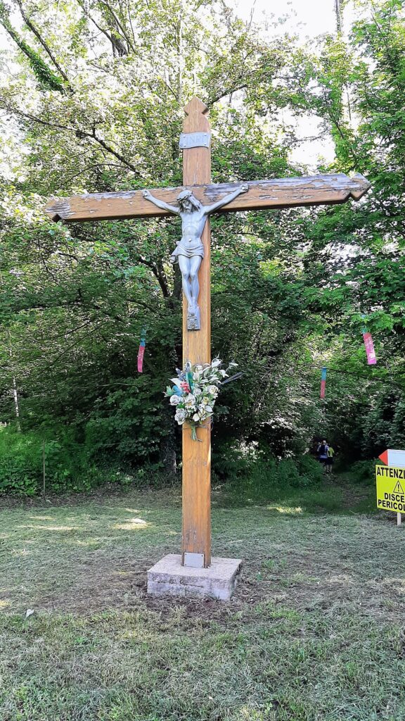
The chapel stands at the crossroads of Via Venezia, Via Bergamo and Via Brescia, in the contrà dei Serafini di Sotto, at an altitude of 118 metres above sea level. It was consecrated on 2 June 1964, following the initiative of Don Emilio Gemo, archpriest of Ognissanti from 1956 to 1978. Inside, the principal object of devotion is a white plaster statue of the Madonna, the work of the sculptor F. Canto. Each May the chapel is the destination of a procession marking the close of the Marian month. Nearby, on Via Bergamo in the Main district at the same altitude, stands a votive aedicule dedicated to Sant’Antonio di Padova — one example of the wider local tradition of small roadside chapels maintained by the surrounding community.
Food and Wine Around Arzignano and the Chiampo Valley
Arzignano and its surrounding area in the western Vicenza province sit within a richly certified food and wine landscape, drawing on Veneto DOP, IGP and DOC productions rather than any single exclusive local speciality. Among the most notable certified products of the province are Asiago DOP, the aged cheese produced in the highlands to the north, Asparago Bianco di Bassano DOP, and Prosciutto Veneto Berico-Euganeo DOP, all of which appear regularly on tables across this part of the Veneto. The Ciliegia di Marostica IGP — the prized cherry from the medieval town of Marostica — and Grana Padano DOP also belong to this broader territorial tradition.
The wine territory around Arzignano is equally varied. The vineyards of the Colli Berici and the Gambellara plain lie within reach, producing wines under the Colli Berici DOC, Gambellara DOC, and Recioto di Gambellara DOCG appellations. The Lessini Durello DOC and Breganze DOC round out a zone where sparkling and still whites sit alongside the broader Veneto reds. Regional traditional liqueurs — including liquore all’uovo and liquore fragolino — complete the local drinks repertoire.
Getting to Arzignano and Planning Your Stay in the Chiampo Valley
Arzignano sits at around 118 metres above sea level in the Chiampo valley, approximately 20 km from Vicenza (roughly 25 minutes by car) and approximately 45 km from Verona (roughly 40 minutes), making it a straightforward day-trip destination from either city. Spring and early autumn are the most rewarding seasons to visit: the surrounding Lessini hills are green and accessible, the light is clear, and the valley towns are unhurried.
The town is well connected to Vicenza by the SR246, the main road running through the Chiampo valley. Visitors with more time can use Arzignano as a base to explore the wider western Vicenza area, including the wine villages toward Cazzano di Tramigna to the west. The Parco naturale regionale della Lessinia, which closes in from the north, adds a further dimension for those who want to combine town visits with upland walking.
| Departure | Distance | Time |
|---|---|---|
| Vicenza | approx. 25 km | approx. 30 min |
| Verona | approx. 45 km | approx. 45 min |
| Marostica | approx. 35 km | approx. 40 min |
These practical references help organise the journey clearly, while the village itself is best understood slowly and on foot once you arrive.
Frequently asked questions about Arzignano
What is the best time to visit Arzignano?
Early November is ideal, coinciding with the patron saint feast of Ognissanti (All Saints' Day) on November 1st, when the town celebrates with traditional events. Late spring (May–June) and early autumn (September–October) offer pleasant weather for exploring the hills and walking the town's historical layers. Summer can be warm in the Veneto plain, while winter visits allow quieter exploration of churches and the Rocca del Castello.
How do I reach Arzignano by public transport?
Arzignano is served by regional train connections via the Veneto rail network; the nearest major station is Vicenza (approximately 30 kilometres away), with bus and car connections onward. By car, access is via the motorway system serving the Veneto region; the town sits at the mouth of the Valle del Chiampo, making it accessible from both the plain and the Monti Lessini foothills. Check local transport authority (SITA or similar) for current bus schedules.
How long should I plan to spend in Arzignano?
A half-day to full day is sufficient to walk the compact town centre (just over 34 square kilometres) and visit key sites: the Bronze Age hilltop settlement, San Matteo church, the Roman bridge at San Bortolo, and the Rocca del Castello. Extended stays allow deeper exploration of surrounding votive chapels, trails in the adjacent Parco naturale regionale della Lessinia, and villages in the Chiampo Valley wine region.
What outdoor activities are available near Arzignano?
The Parco naturale regionale della Lessinia lies directly north and offers hiking trails through limestone hills and meadows. The surrounding Valle del Chiampo supports cycling routes linking small towns and vineyards. Monte Calvarina to the west provides accessible hill walks. Local CAI (Italian Alpine Club) routes connect Arzignano to broader Veneto trekking networks; consult local visitor offices for current trail conditions and marked paths.
What is Arzignano historically famous for?
Arzignano has layered history spanning Neolithic settlements in surrounding hills, Bronze Age hilltop occupation, Roman infrastructure including a stone bridge, and a medieval Rocca built during the Scaligera era. The town endured a significant walled siege in winter 1413. More recently, it developed as a centre for leather tanning and mechanical industries, industries that shaped its modern identity alongside its preserved historical monuments and votive chapel tradition.
📷 Photo Gallery — Arzignano
In Veneto More villages to discover

Marostica
 Hills
Hills
Marostica draws visitors with its world-famous living chess match and over 600 years of Scaligeri and Venetian architecture. The IGP cherry alone is worth the detour.
Agna
 Plains
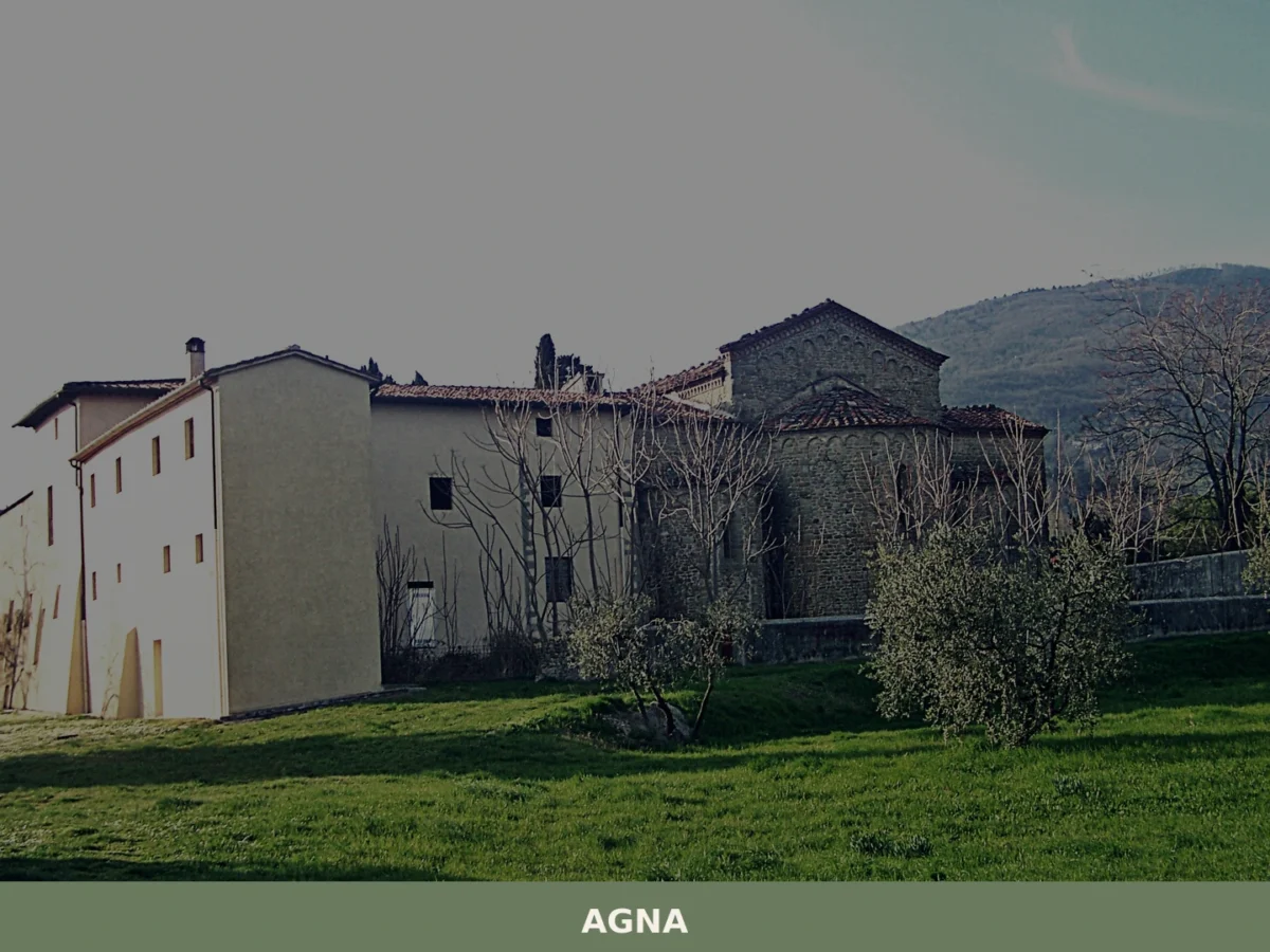
Discover what to see in Agna, a Padova province village of 3,174 people. History, food, travel tips and the canals of the Venetian plain explained.
Venezia
 Sea
Sea
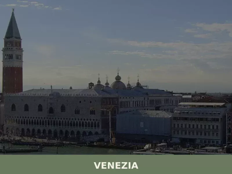
With its 259,263 inhabitants, Venice stands out as one of the most significant centers in Veneto, presenting an altitude of 256 meters above sea level. This city, included in the Hill Villages category according to the classification provided, offers an invaluable historical, artistic, and cultural heritage. In this article History and Origins of Venice What […]
Abano Terme
Plains
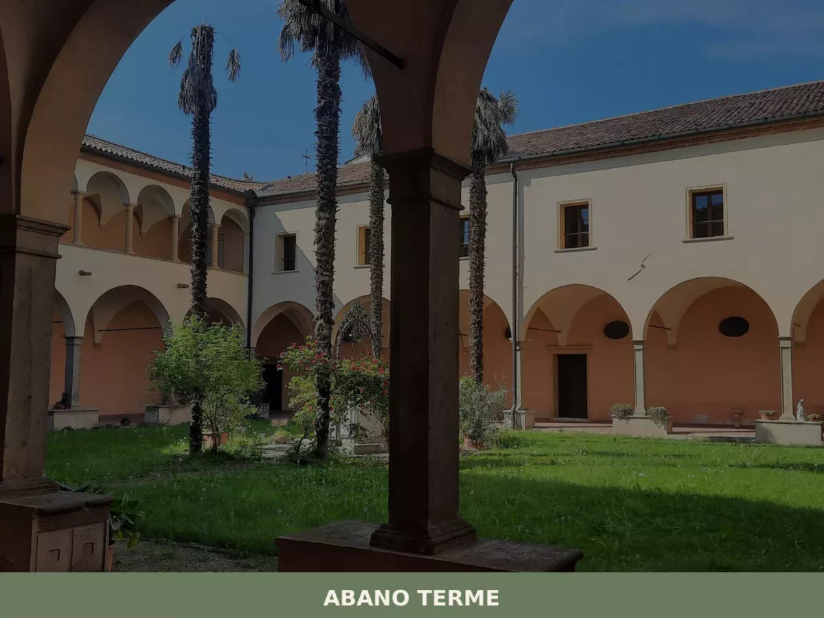
Discover what to see in Abano Terme: Roman thermal history, the Euganean Hills park, local DOC wines, and practical travel tips for Veneto's top spa town.

Vittorio Veneto
Hills
Home to a decisive World War I battle and a dual medieval identity, Vittorio Veneto offers 5 exceptional monuments and a rich local food culture in Treviso province.
Erbè
Plains
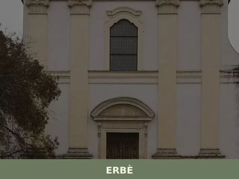
Erbè has 1,838 inhabitants and occupies a stretch of the Veronese plain north of the Tione dei Monti river, along the road connecting Verona to Mantua. The municipal territory, almost entirely flat and crossed by a dense network of irrigation canals, was progressively reclaimed starting in the 15th century under the administration of the Republic […]
Arsiero
 Mountain
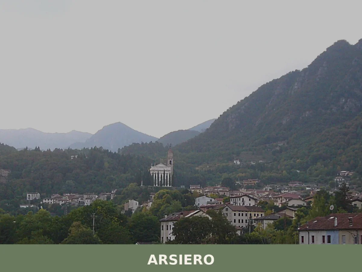
Arsiero is a mountain commune of around 3,045 inhabitants in the province of Vicenza, Veneto, set at 352 metres where the torrents Astico and Posina converge, with a documented history reaching back t
Belluno
Hills
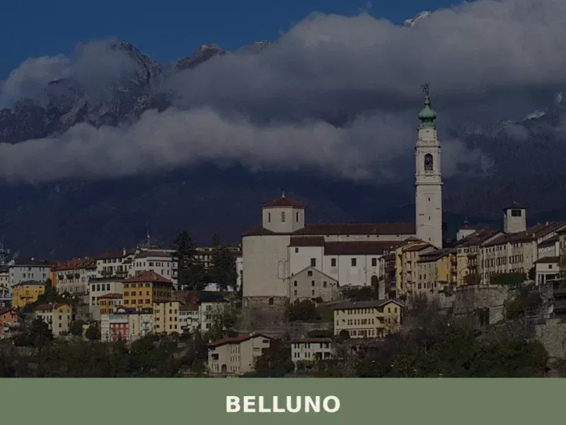
What to see in Belluno: a city at 389m with Venetian palaces, a Baroque bell tower and Alpine views. Plan your visit with this complete guide. Includes food and travel tips.
Adria
Plains
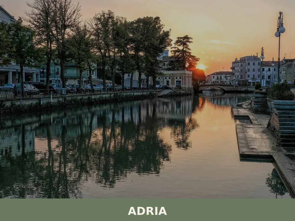
18,787 residents in a 4-metre lowland where water shaped 2,400 years of trade, faith and survival. Visit for its layered history and waterway landscape.
Arsiè
Mountain
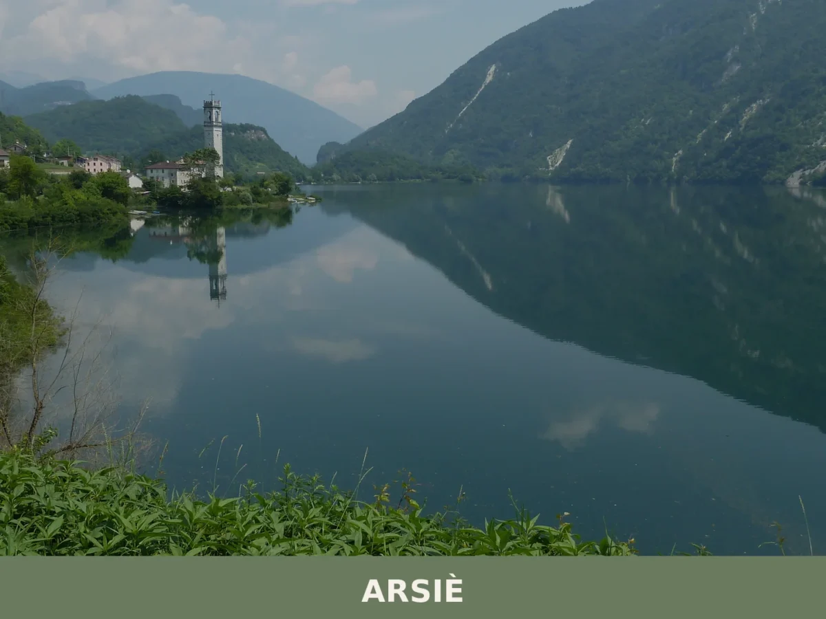
Arsiè is a mountain comune of around 2,170 inhabitants in the province of Belluno, Veneto, shaped by medieval origins, First World War fortifications, and the artificial Lago del Corlo created in 1954





🏡 Know Arzignano better than we do?
If you’re a local or have been there, your knowledge matters: add what’s missing or fix a detail on this page.