


Barete
Morning light hits the limestone walls of Barete’s older houses at a low angle, turning them briefly gold before the shadow of the Gran Sasso massif reclaims the narrow lanes. A rooster calls from somewhere behind a garden wall. The air smells of woodsmoke and cold stone. This is a settlement of roughly 695 inhabitants, […]
Discover Barete
Morning light hits the limestone walls of Barete’s older houses at a low angle, turning them briefly gold before the shadow of the Gran Sasso massif reclaims the narrow lanes. A rooster calls from somewhere behind a garden wall. The air smells of woodsmoke and cold stone. This is a settlement of roughly 695 inhabitants, spread across a handful of frazioni at the foot of Abruzzo’s highest peaks, just north of L’Aquila. If you are wondering what to see in Barete, the answer begins with the landscape itself — a terrain shaped by earthquakes, pastoral tradition, and centuries of quiet endurance in one of central Italy’s most geologically restless corridors.
History of Barete
The origins of Barete reach back to the pre-Roman Sabine and Vestini peoples who inhabited the upper Aterno valley long before Latin colonisation. The name itself likely derives from a pre-Italic root — possibly connected to the term barus or bara, referring to a marshy or low-lying area, consistent with the hydrology of the valley floor where seasonal springs still surface. By the early medieval period, the settlement had consolidated around defensive positions common to the region, as Lombard and then Norman feudal structures imposed themselves on the scattered rural communities of the Abruzzo interior.
During the 13th and 14th centuries, Barete fell within the administrative orbit of L’Aquila, the regional capital founded in 1254 by a federation of local castles and villages. Like many small centres in the upper Aterno valley, Barete contributed to the economy and defence of the larger city while maintaining its own parish churches and agricultural rhythms. Sheep transhumance — the seasonal movement of flocks between mountain pastures and the plains of Puglia along ancient drove roads known as tratturi — defined economic life here for centuries.
The 2009 L’Aquila earthquake, with its epicentre only kilometres away, inflicted severe damage on Barete’s built fabric. Several historic structures were compromised, and the long process of reconstruction continues to shape the village’s physical and social identity. The earthquake is not a footnote here; it is an event woven into daily conversation, into the scaffolding still visible on certain buildings, into the resilience that defines the community.
What to see in Barete: 5 must-visit attractions
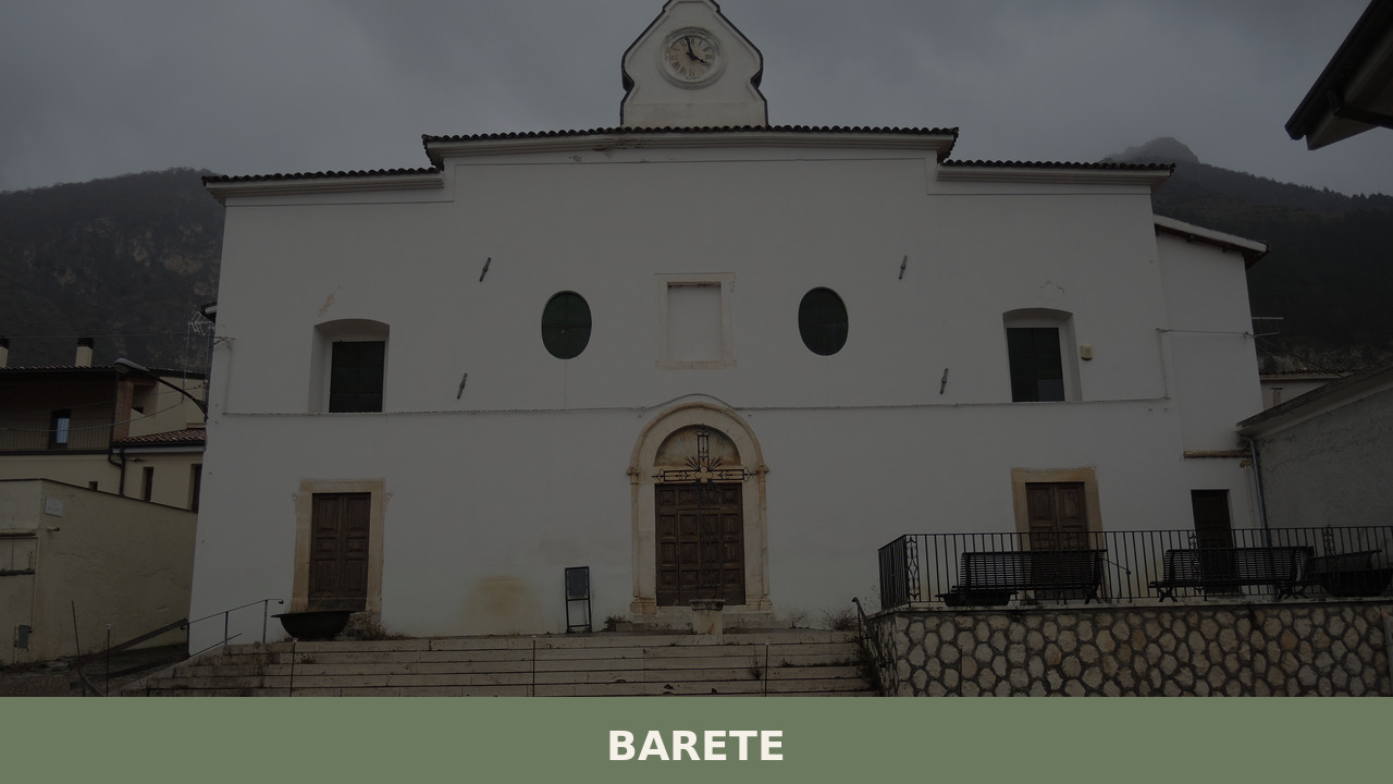
1. Church of San Paolo
The parish church of San Paolo stands as the principal religious building in the village centre. Its simple stone façade, characteristic of rural Abruzzo ecclesiastical architecture, conceals an interior that has been reworked across several centuries. Damage from the 2009 earthquake required significant restoration, and the building today represents both historical continuity and the ongoing effort to preserve local heritage.
2. The Upper Aterno Valley landscape
The valley floor below Barete, where the Aterno river begins its long descent toward Pescara, offers a terrain of cultivated plots, walnut groves, and seasonal wetlands. Walking paths trace old agricultural routes between the frazioni. In winter, the Gran Sasso’s snow-covered ridgeline dominates the eastern horizon — a wall of rock visible from almost every point in the village.
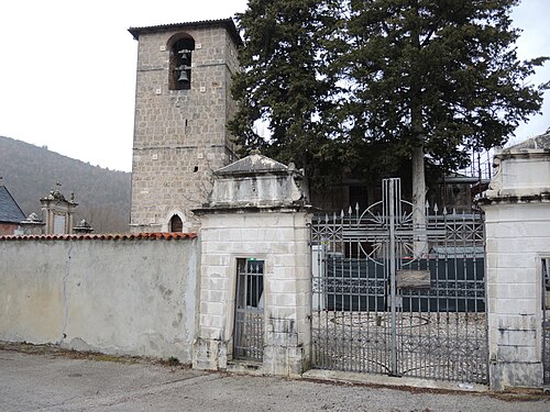
3. The frazioni of Barete
Barete is not a single compact settlement but a comune comprising several scattered hamlets — including San Nicola, Colle di Barete, and others — each with its own character and minor church. Walking between them reveals the dispersed settlement pattern typical of the inner Abruzzo highlands, where communities clustered around springs, sheltered slopes, and arable patches of land.
4. Gran Sasso e Monti della Laga National Park access
Barete sits at the western edge of the Gran Sasso e Monti della Laga National Park, Italy’s largest protected area in the Apennines. From the village, trails and mountain roads lead toward the Corno Grande summit and the Campo Imperatore plateau. The park shelters Apennine wolves, chamois reintroduced in the 1990s, and golden eagles that nest on the higher rock faces.
5. Earthquake reconstruction sites
The visible traces of the 2009 seismic event — reinforced walls, steel bracing on older structures, rebuilt facades — form an unintended but powerful open-air record of geological force and human response. For those interested in architecture, engineering, or Italian civil history, these sites offer a sobering and instructive dimension to any visit.
Local food and typical products
The cuisine of Barete belongs firmly to the mountain pastoral tradition of inner Abruzzo. Lamb dominates — roasted with rosemary, or slow-cooked as arrosticini, the small skewered mutton pieces that are the region’s most recognisable street food. Legumes, particularly lentils and chickpeas grown in the high valleys, appear in thick soups alongside handmade pasta shapes such as sagne and maccheroni alla chitarra, cut on a wooden frame strung with metal wires. Local pecorino cheese, produced from the milk of sheep still grazed on surrounding pastures, ranges from soft and fresh to hard and aged. Saffron, cultivated on the Navelli plain not far to the southeast, enters certain dishes as a quietly expensive local luxury — Abruzzo saffron holds DOP status and is considered among the finest in the world.
Dining options in Barete itself are limited, as one would expect in a village of this size. The surrounding area, particularly toward L’Aquila and the Navelli plain, offers agriturismi and family-run trattorias where menus follow the season closely: wild herbs in spring, grilled meats and fresh vegetables in summer, hearty soups and cured meats through the long mountain winter. Asking locally is the surest way to find where the kitchen is best on any given day.
Best time to visit Barete
Late spring — May and June — brings the upper Aterno valley into its most vivid season. Wildflowers cover the meadows below the Gran Sasso, daylight stretches long, and temperatures sit comfortably between 15 and 25 degrees Celsius at this altitude. Autumn, particularly October, offers a second window: the walnut and beech trees turn, the air sharpens, and the summer visitors have gone. Winters are cold and sometimes isolating, with snowfall common from December through March, though the proximity of the Gran Sasso ski areas at Campo Imperatore gives the area a different purpose in those months.
Village festivals and religious observances, often tied to the patron saint or harvest calendar, punctuate the year. These are modest, community-centred events — processions, outdoor meals, small markets — but they offer an unfiltered view of local life that no museum can replicate. Check with the municipal office in advance, as dates shift and not all events are widely publicised.
How to get to Barete
Barete lies approximately 15 kilometres north of L’Aquila along the SS80 road, which follows the Aterno valley toward Amatrice and the Marche border. From Rome, the drive takes roughly 90 minutes via the A24 motorway (Roma–L’Aquila–Teramo), exiting at L’Aquila Ovest or L’Aquila Est and continuing north on local roads. From Pescara, the A25 motorway connects to the A24, with a total driving time of around 90 minutes. The nearest railway station is L’Aquila, served by regional trains from Sulmona and, with a change, from Rome and Pescara. The closest airports are Rome Fiumicino (approximately 140 km) and Pescara Abruzzo Airport (approximately 110 km). A car is effectively essential for reaching Barete and exploring the surrounding valley and mountain areas — public transport options are minimal and infrequent.
More villages to discover in Abruzzo
Barete’s position in the upper Aterno valley places it within reach of some of Abruzzo’s most distinctive small communities. To the south, deep in the Sangro valley near the border of the Alfedena area, the landscape shifts toward the Abruzzo National Park, where ancient Italic ruins and dense beech forests create a markedly different atmosphere. Alfedena’s Samnite necropolis and its proximity to wildlife corridors make it a compelling counterpoint to the open, earthquake-marked terrain of Barete.
Further south on the Fucino plain, the village of Aielli has become known in recent years for its street murals and its medieval tower observatory — a place where art and altitude intersect in unexpected ways. Together, these villages sketch a portrait of Abruzzo’s interior that resists easy summary: each community shaped by its own geology, its own altitude, its own particular history of persistence.
Frequently asked questions about Barete
When is the patron saint feast of Barete and who is the patron saint?
Barete celebrates its patron saint San Vito on 15 June each year. Like most small Abruzzo communities, the festivities are community-centred affairs typically including a religious procession, an outdoor Mass, and communal gatherings in the village. San Vito is a martyr venerated widely across southern and central Italy, and his feast day in mid-June coincides with the most pleasant period of the mountain spring, when temperatures at Barete's 800-metre altitude are mild and welcoming.
Is Barete suitable as a day trip from Rome or Pescara?
Yes. Barete is approximately 90 minutes by car from Rome via the A24 motorway, exiting toward L'Aquila and continuing north on the SS80. From Pescara, the journey is also around 90 minutes via the A25 connecting to the A24. The village itself is compact and can be explored in two to three hours, making it feasible to combine with a visit to L'Aquila or a walk in the Gran Sasso e Monti della Laga National Park within a single day trip.
Are there CAI hiking trails accessible from Barete?
Barete sits at the western boundary of the Gran Sasso e Monti della Laga National Park, which has an extensive network of trails maintained and marked by the Club Alpino Italiano (CAI). Paths from the upper Aterno valley area connect toward the Campo Imperatore plateau and the Corno Grande massif. Hikers should consult the official CAI trail maps for the L'Aquila section or the Gran Sasso e Monti della Laga National Park visitor resources for current route numbers and conditions before setting out.
What is the altitude of Barete and how does it affect the climate?
Barete sits at 800 metres above sea level in the upper Aterno valley, at the foot of the Gran Sasso massif. This altitude produces a mountain climate with cold winters — snowfall is common from December through March — and cool, pleasant summers rarely exceeding 25°C. The proximity of the Gran Sasso's high ridgeline means the village can experience shade early in the day and sharp temperature drops after sunset even in midsummer, so a light layer is advisable even during warm months.
📷 Photo Gallery — Barete


Nearby Villages near Barete
In Abruzzo More villages to discover
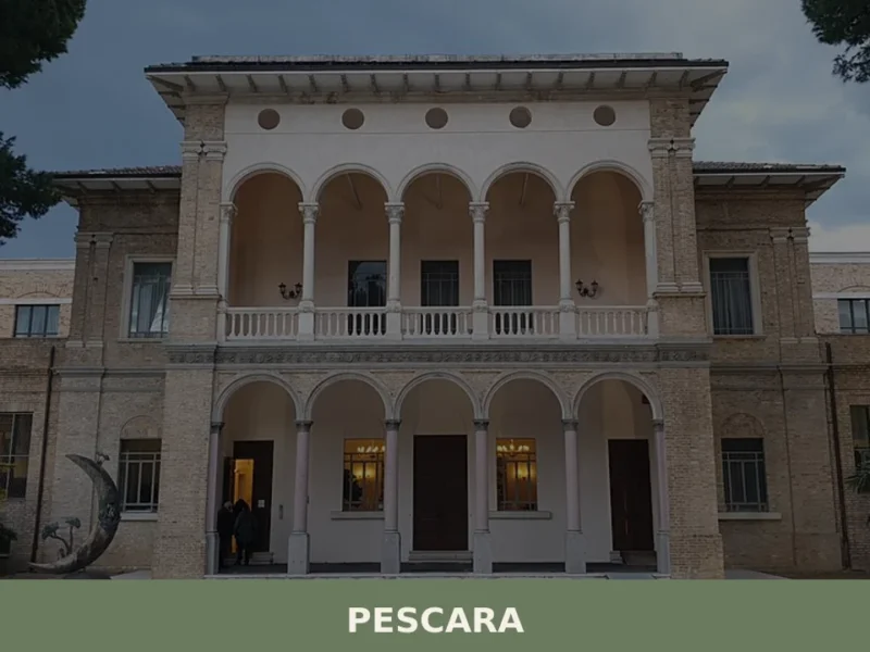
Pescara
In Pescara, where the Aterno river meets the Adriatic, the city stretches across a coastal plain just 4 metres above sea level. Its forked layout, divided by the watercourse that once served as its natural boundary, has shaped the identity of this centre of nearly 119,000 inhabitants in the province of the same name. On […]
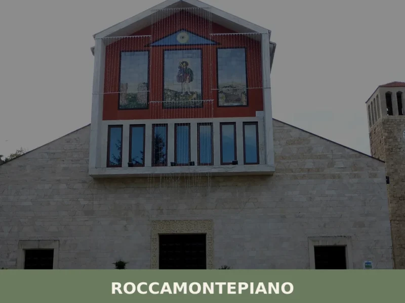
Roccamontepiano
What to see in Roccamontepiano, Abruzzo, Italy: explore a hilltop village at 450 m with a 1765 landslide history. Discover the Saint Roch festival and more.
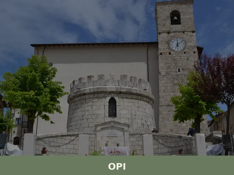
Opi
What to see in Opi, Abruzzo, Italy: explore 3 historic monuments, the National Park of Abruzzo, and the Val Fondillo Necropolis. Discover how to get there.
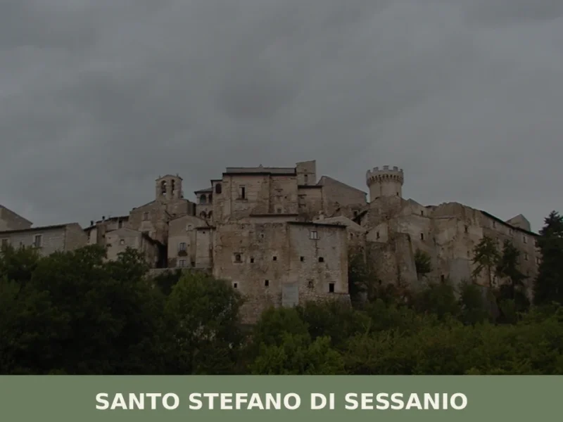
Santo Stefano di Sessanio
What to see in Santo Stefano di Sessanio, Italy: Discover this medieval hill town at 1,250 m (4,101 ft) altitude. Explore its restored Sextantio Albergo Diffuso and taste the renowned gourmet lentils.
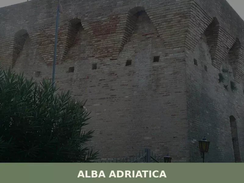
Alba Adriatica
Until 1956, this locality did not exist as an independent municipality: it was a hamlet of Tortoreto, known as Tortoreto Stazione because of the railway stop on the Adriatic line. The administrative separation created a coastal town that today has 12,760 inhabitants spread across a territory sitting just 5 metres above sea level. Understanding what […]
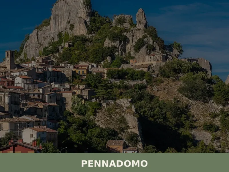
Pennadomo
What to see in Pennadomo, Italy: 5 attractions at 460 m in Chieti province. Discover the feast of San Lorenzo, local food traditions and how to get there.
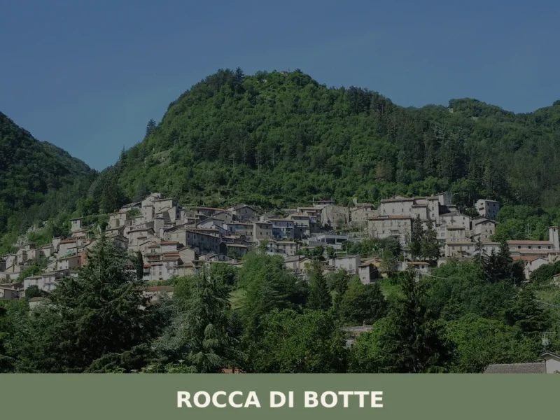
Rocca di Botte
What to see in Rocca di Botte, Abruzzo, Italy: explore 5 top attractions, medieval history dating to the 12th century, and local food traditions. Discover it now.
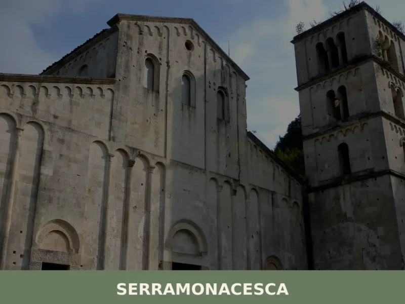
Serramonacesca
What to see in Serramonacesca, Abruzzo, Italy: discover 6 top attractions including the Abbey of San Liberatore, rock-cut tombs, and a medieval tower. Population 560.
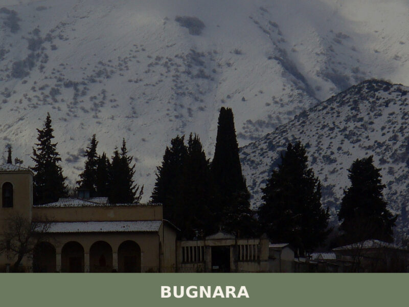
Bugnara
Morning light falls across the Sagittario valley in long, amber strokes, catching the limestone walls of a settlement that has watched over this corridor of central Abruzzo for the better part of a millennium. Bells from a church tower mark the hour, their sound flattening against the surrounding slopes before fading. The streets are narrow, […]
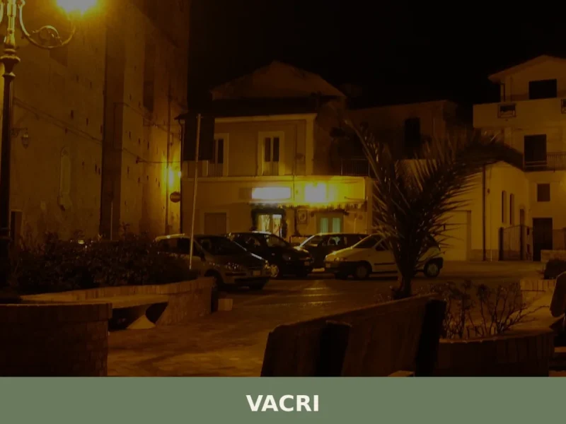
Vacri
What to see in Vacri? Explore the 5 must-see attractions of this Abruzzese village. Discover history and breathtaking views. Read on and plan your itinerary!


🏡 Know Barete better than we do?
If you’re a local or have been there, your knowledge matters: add what’s missing or fix a detail on this page.