


Campolongo Tapogliano
 Plains
What to see in Campolongo Tapogliano, Friuli-Venezia Giulia, Italy. Explore a comune born in 2009, its twin-town ties with France, local food and how to get there.
Discover Campolongo Tapogliano
Two former municipalities, separated for centuries by their own administrations and local identities, became one in 2009. The merger that created the current comune joined Campolongo al Torre and Tapogliano, two settlements in the flat agricultural plain that stretches across the eastern corner of Friuli-Venezia Giulia, close to the border with Slovenia.
The Friulian name, Cjamplunc Tapoian, compresses both old identities into a single word that locals still use in daily conversation, carrying forward the linguistic memory of a region where Friulian, Italian and Slovenian have long coexisted within a few kilometres of each other.
Deciding what to see in Campolongo Tapogliano means engaging with a municipality that is relatively young on paper but historically layered in practice.
The comune sits within the Regional Decentralization Entity of Udine, roughly 20 km (12.4 mi) southeast of the city of Udine itself, and draws visitors interested in the quiet rhythms of the Friulian plain, its border culture and its agricultural heritage.
Visitors to Campolongo Tapogliano find a Franco-Italian twin-town relationship with Montgiscard in France, traditional Friulian cuisine rooted in the produce of the surrounding lowlands, and a compact rural territory well suited to cycling and slow exploration on foot.
History of Campolongo Tapogliano
The settlement of Campolongo al Torre developed along the Torre river, one of the smaller watercourses that cross the Friulian plain before joining the Isonzo system further east. The name Campolongo itself derives from the Latin campus longus, meaning “long field”, a description that fits the flat, open terrain of the area with geographic accuracy. This kind of topographic naming was common throughout the medieval colonisation of the Friulian lowlands, where ecclesiastical institutions and feudal lords divided and named land according to its physical characteristics rather than its historical associations.
Tapogliano, the second of the two founding municipalities, has its own distinct record in the historical documents of the Friulian March.
The eastern plain of Friuli was a contested territory for much of the medieval and early modern period, passing through the control of the Patriarchate of Aquileia, the Republic of Venice and, later, the Habsburg Empire. Each of these governing powers left administrative and architectural traces across the region’s villages, and Tapogliano was no exception. The proximity to what is today the Slovenian border shaped the economic and cultural life of both settlements, as cross-border exchange of goods, labour and language was a constant feature of daily existence here for many generations.
The formal administrative merger of Campolongo al Torre and Tapogliano took place in 2009, creating the unified municipality of Campolongo Tapogliano as it exists today.
This kind of fusione di comuni, a merger of municipalities encouraged by Italian regional policy to reduce administrative costs in small settlements, reshaped the governance of the area without erasing the distinct character of each original village. An international dimension was added well before the merger: in 2005, the then-municipality established a twinning with Montgiscard, a commune in the Haute-Garonne department of southern France, a partnership that continues under the unified municipality and reflects the broader European orientation of the Friuli-Venezia Giulia region.
What to see in Campolongo Tapogliano, Friuli-Venezia Giulia: top attractions
The historic core of Campolongo al Torre
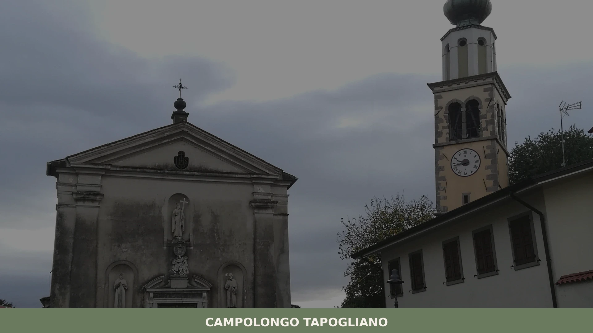
The older settlement of Campolongo al Torre preserves the compact street pattern typical of agricultural villages in the Friulian plain, where farmsteads, a central square and a parish church cluster together within a short perimeter.
The parish church, oriented along the traditional east-west axis, anchors the visual centre of the village and its bell tower serves as the landmark visible across flat terrain for several kilometres.
Stone and plastered render characterise the facades, with the tower providing the most vertically prominent element in an otherwise horizontal landscape. The best time to observe the village structure is in the early morning, when light falls directly on the church facade from the east and the surrounding fields are still quiet.
The village of Tapogliano and its border landscape
Tapogliano occupies a position close to the border with Slovenia, and its built fabric reflects the layered history of this frontier zone, where administrative boundaries have shifted repeatedly over the past two centuries.
The village retains agricultural courtyard buildings known as corti, enclosed farmyard complexes that were the basic productive unit of the Friulian rural economy from the medieval period onward.
Walking through Tapogliano, the visitor can read the scale and materials of these structures — heavy stone plinths, timber upper floors, wide entrance arches — as a direct record of how families organised both housing and storage under one roof. The surrounding countryside is essentially flat, lying at approximately 26 m (85 ft) above sea level, which makes it accessible for visitors of all physical abilities.
The Torre River corridor
The Torre river runs along the western edge of the municipal territory, defining the landscape with a narrow riparian strip of vegetation that contrasts with the open cultivated fields on either side. The Torre is a left-bank tributary of the Isonzo, and its lower reaches cross some of the most historically significant terrain in northeastern Italy, including zones that saw extensive military activity during the First World War.
Cyclists travelling the network of rural lanes between Campolongo al Torre and the riverbank cover approximately 3 km (1.9 mi) from the village centre to the most accessible stretch of the bank.
Spring and early autumn are the periods when water levels are most consistent and the riverside vegetation is at its most visible without summer drought reducing the flow.
The Franco-Italian twin-town connection with Montgiscard
Since 2005, Campolongo Tapogliano has maintained a formal twinning with Montgiscard, a commune located in the Haute-Garonne department of southern France, approximately 20 km (12.4 mi) southeast of Toulouse. This relationship, established before the 2009 municipal merger, represents a documented cultural and civic exchange between the Friulian plain and the Occitan agricultural territory of the Lauragais. The twinning generates periodic exchanges of delegations, cultural events and school contacts that bring a small but consistent international dimension to the village’s civic calendar.
For visitors interested in European municipal cooperation, the existence of this partnership since 2005 provides a concrete point of discussion with local administrators and residents.
The surrounding agricultural plain and rural road network
The municipal territory of Campolongo Tapogliano covers the flat alluvial plain between the Torre and the border zone, a landscape shaped by drainage works carried out progressively from the medieval period through the twentieth century. The fields are organised in a rectilinear pattern that reflects planned land reclamation, with rows of mulberry trees, vines and maize alternating across the terrain depending on season. Rural roads suitable for cycling cross the territory in several directions, connecting the two village cores and reaching the neighbouring communes within 5 to 10 km (3.1 to 6.2 mi).
Visitors who prefer exploring the Friulian countryside without significant elevation change will find this territory consistent with a half-day cycling or walking itinerary.
Local food and typical products of Campolongo Tapogliano
The cuisine of Campolongo Tapogliano belongs to the broader tradition of the Friulian lowland plain, a cooking culture shaped by the agricultural calendar, by the mixing of Italian, Slovenian and Central European influences, and by the practical constraints of a territory where grain, maize, pork and dairy have historically been the primary resources.
The flat land around the village has supported cereal cultivation for centuries, and maize — introduced into Friuli from the late seventeenth century onward — became the foundation of the regional diet in ways that are still directly visible in the food served in local households and osterie, the informal taverns that function as social and gastronomic centres in Friulian villages.
The dish most immediately associated with this part of Friuli is polenta, made from coarse-ground maize flour cooked slowly in a copper pot with constant stirring over an open or gas flame until it reaches a dense, sliceable consistency. It is served alongside frico, a preparation made by melting Montasio cheese — which carries PDO certification across the region — with potato and sometimes onion until the mixture forms a crisp, golden cake.
The technique requires a specific ratio of aged to fresh Montasio and a controlled heat that allows the cheese fats to render without burning, producing a distinct texture that is simultaneously crunchy at the edges and soft at the centre.
Another staple of the local table is musét con brovada: musét is a fresh pork sausage made with snout meat, spices and wine, simmered gently and served with brovada, turnips fermented in grape marc over several weeks to produce a sour, fibrous accompaniment that cuts through the fat of the sausage.
The broader Friuli-Venezia Giulia region is home to several certified products that are found in and around the municipal territory of Campolongo Tapogliano.
Montasio (PDO) is produced across the Friulian plain and aged at varying stages from 60 days to over 18 months, with the flavour profile shifting from mild and milky in the fresher versions to hard, granular and sharp in the extended-aged form.
Prosciutto di San Daniele (PDO) is cured in the nearby town of San Daniele del Friuli, approximately 40 km (24.9 mi) northwest of Campolongo Tapogliano, and the whole-leg product with the trotter attached is one of the most geographically specific cured meats in Italy, dependent on the particular air circulation between the Carnian Alps and the Adriatic for its drying conditions.
Local markets and specialist food shops in the surrounding comuni stock these products throughout the year, with the autumn months — from September through November — offering the widest range of seasonal accompaniments, including fresh porcini mushrooms from the nearby foothills and the first pressing of the season’s olive oil from producers further along the Adriatic coast.
Visitors should be aware that smaller village shops may keep limited hours, typically closing for two to three hours at midday, and that carrying cash in euros is advisable when shopping at rural markets or farm stalls.
Festivals, events and traditions of Campolongo Tapogliano
The civic and religious calendar of Campolongo Tapogliano follows the pattern common to Friulian villages of comparable size, with parish feast days providing the main fixed points of public celebration.
The local parish observances bring together residents from both the Campolongo al Torre and the Tapogliano sections of the municipality, reinforcing community ties that the 2009 administrative merger formalised but did not itself create. Traditional celebrations in this part of Friuli typically combine a religious procession in the morning with communal meals and music in the afternoon and evening, a structure that has remained largely consistent across generations even as the number of participants has changed.
The twinning with Montgiscard, formalised in 2005, generates occasional cross-border events and delegations, though the frequency and programme of these exchanges vary by year and are best confirmed through the municipal office before planning a visit around them.
The broader agricultural calendar of the Friulian plain also provides informal seasonal gatherings, including harvest-period events in September and October where local producers bring maize, grapes and other field crops to market. These are not formalised festivals with published programmes in every case, but they represent real points of local gathering that a visitor present in the village during these months is likely to encounter.
When to visit Campolongo Tapogliano, Italy and how to get there
The best time to visit Campolongo Tapogliano is between late April and early June, or from September through October.
Spring brings mild temperatures across the Friulian plain, with daytime highs typically ranging from 15°C to 22°C (59°F to 72°F), while the fields and riparian vegetation along the Torre river are at their most productive visually.
Autumn offers the harvest season and cooler walking conditions, with the added interest of regional food events in the surrounding area. July and August bring heat to the plain — temperatures regularly exceed 32°C (90°F) — and are less comfortable for outdoor exploration on foot or by bicycle. Winter visits are possible but the flat landscape offers limited shelter from the cold northeast wind, the bora, which sweeps across this corner of Friuli from the Karst plateau.
Reaching Campolongo Tapogliano by car is straightforward. From Udine, take the A4 motorway eastward and exit at the Palmanova junction, then follow regional road SS352 southeast for approximately 15 km (9.3 mi) toward the border zone; the municipal territory is reached within 20 minutes under normal traffic conditions. From Venice, the A4 runs directly to the Palmanova exit, covering approximately 130 km (80.8 mi) with a journey time of around 90 minutes.
The nearest railway station with regular service is at Trenitalia connections in Udine, from which local bus services or a taxi cover the remaining distance of approximately 20 km (12.4 mi) to the village.
The nearest international airport is Trieste – Friuli Venezia Giulia Airport at Ronchi dei Legionari, approximately 45 km (28 mi) southwest of Campolongo Tapogliano, with a journey time of around 40 minutes by car. For international visitors arriving by air, hiring a car at the airport is the most practical option, as public transport connections to smaller Friulian communes are infrequent outside peak hours. English is not widely spoken in smaller shops and local establishments in this area, so carrying a phrasebook and paying in cash euros for small purchases is a practical preparation.
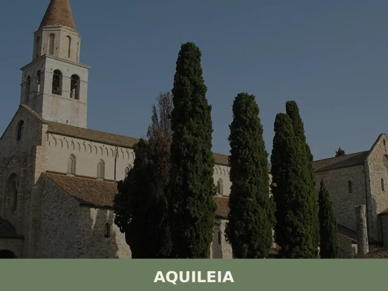
Those travelling from Venice can treat Campolongo Tapogliano as a day trip destination, pairing it with a visit to the Roman city of Aquileia, a UNESCO World Heritage Site located approximately 25 km (15.5 mi) to the south.
The combination of the two gives a single day’s itinerary that covers both the ancient and the more recent rural history of the Friulian plain without requiring more than one overnight stay in the region.
Visitors who want to extend their time in Friuli-Venezia Giulia can also consider Andreis, a small Friulian village in the Valcellina area to the northwest, which offers a markedly different landscape of wooded slopes and mountain terrain as a contrast to the flat agricultural plain around Campolongo Tapogliano.
📷 Photo Gallery — Campolongo Tapogliano
Getting there
Piazza Indipendenza, 33040 Campolongo Tapogliano (UD)
Nearby Villages near Campolongo Tapogliano
In Friuli-Venezia Giulia More villages to discover
Bertiolo
Plains
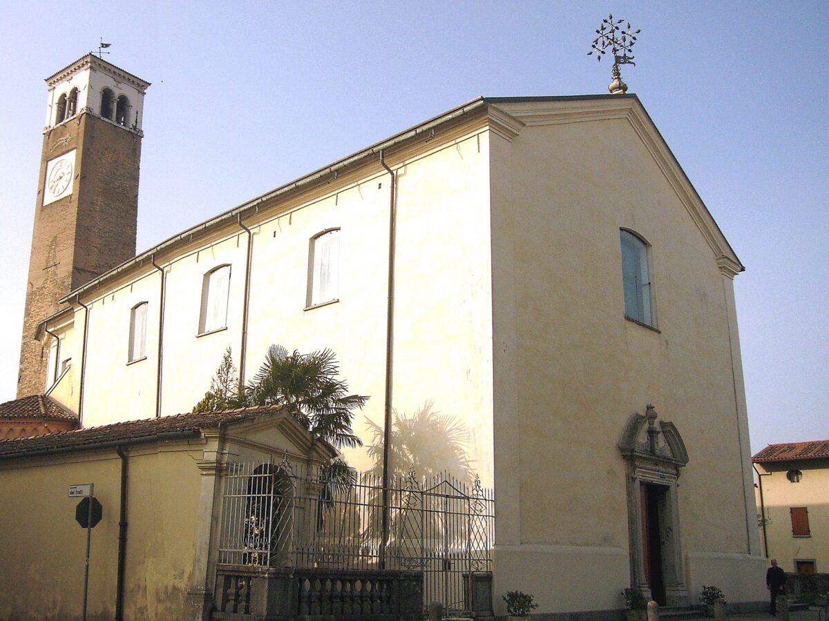
The earliest documented mention of the name Bertiolo dates back to 1219, in a notarial deed linked to the properties of the Patriarchate of Aquileia. Arriving today along the road that leads south from Codroipo, visitors encounter a compact urban centre laid out along a grid of orderly streets, surrounded by fields of maize and […]
Cavazzo Carnico
 Mountain
Cavazzo Carnico sits beside Friuli Venezia Giulia's largest natural lake, where Romanesque parish churches and Alpine trails converge in Carnia's quiet middle valleys.
Trieste
 Sea
Sea
What to see in Trieste, a city with over 200,000 inhabitants? Discover 5 main attractions and savor local cuisine like Jota and Presnitz. Explore its unique history.
Coseano
Plains
In 1275, a document from the Patriarchate of Aquileia records the name Cosean among the communities subject to feudal jurisdiction in the Udine hill area. Seven centuries later, the municipality retains its rural layout, spread across the main settlement and the hamlets of Cisterna, Barazzetto, Muscletto and Nogaredo di Coseano, scattered over flat terrain at […]
Aviano
 Hills
Hills
What to see in Aviano, Italy: Explore this town of 8,948 inhabitants, from its 10th-century castle ruins to the Cathedral of San Zenone. Discover its rich history and natural beauty.
Chiusaforte
Hills
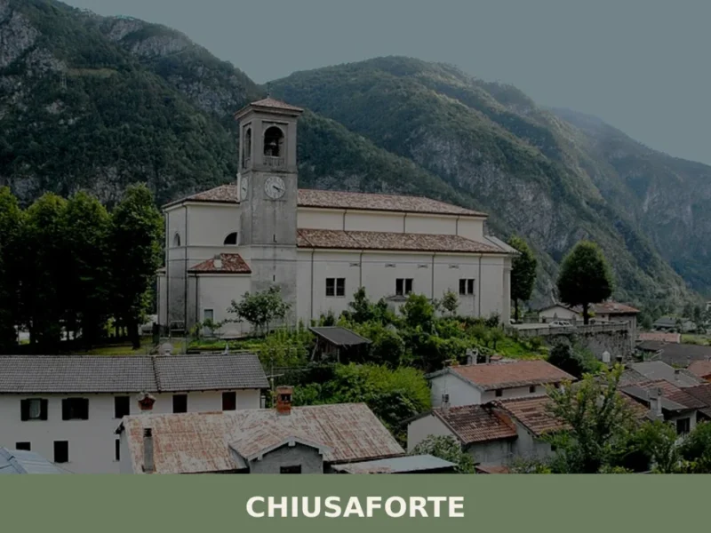
Anyone travelling along the A23 motorway towards the Austrian border will notice, quite suddenly, the Fella valley narrowing between sheer rock walls. Right at that point stands Chiusaforte, a settlement of 684 inhabitants at 391 metres above sea level, whose name — from “chiusa forte,” meaning “strong barrier” — declares without ambiguity the military and […]
Bicinicco
Plains
A commune of 1,801 inhabitants on the Friulian plain south of Udine. Discover the churches, hamlets, and agricultural landscape of Bicinicco.
Capriva del Friuli
Plains
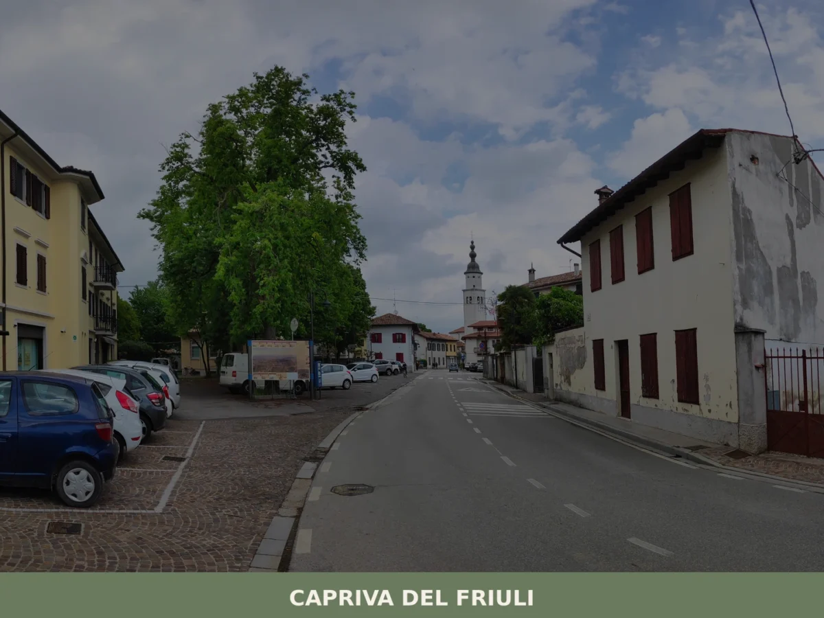
What to see in Capriva del Friuli: 5 must-visit attractions including wineries, historic villas and the Collio hills. Discover the complete guide to plan your visit.
Colloredo di Monte Albano
Hills
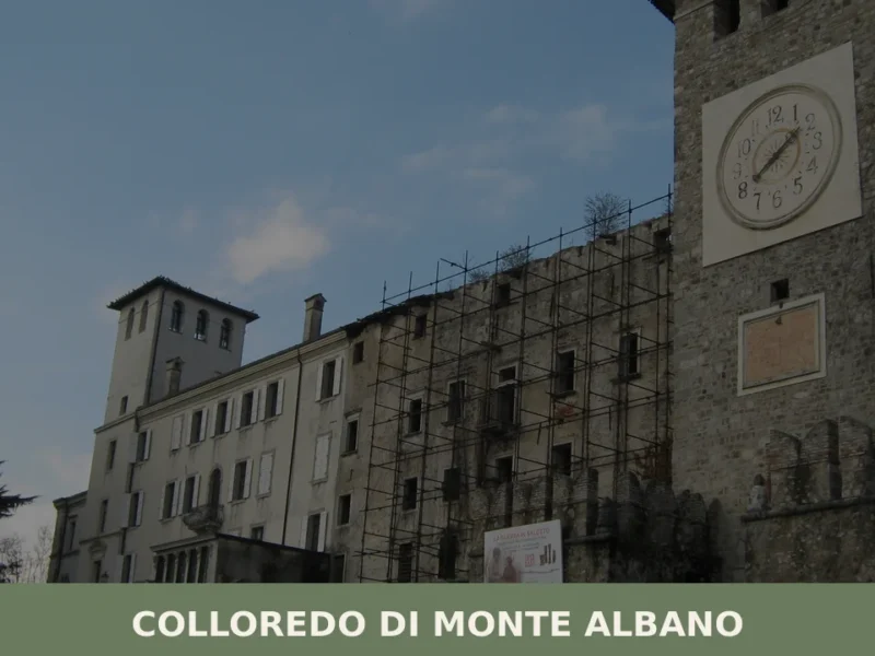
The earthquake of 6 May 1976 split the history of Colloredo di Monte Albano in two: before and after. The castle of the Counts of Colloredo, one of the most imposing noble residences in Friuli, largely collapsed that evening, and with it shattered an architectural heritage built over seven centuries. Today, after decades of restoration, […]
Caneva
Plains
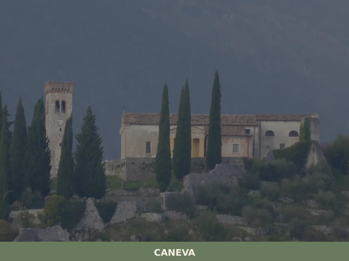
What to see in Caneva, Italy: explore a 42 km² comune near Pordenone. Discover top attractions, local food and travel tips. Read the complete guide.

🏡 Know Campolongo Tapogliano better than we do?
If you’re a local or have been there, your knowledge matters: add what’s missing or fix a detail on this page.