


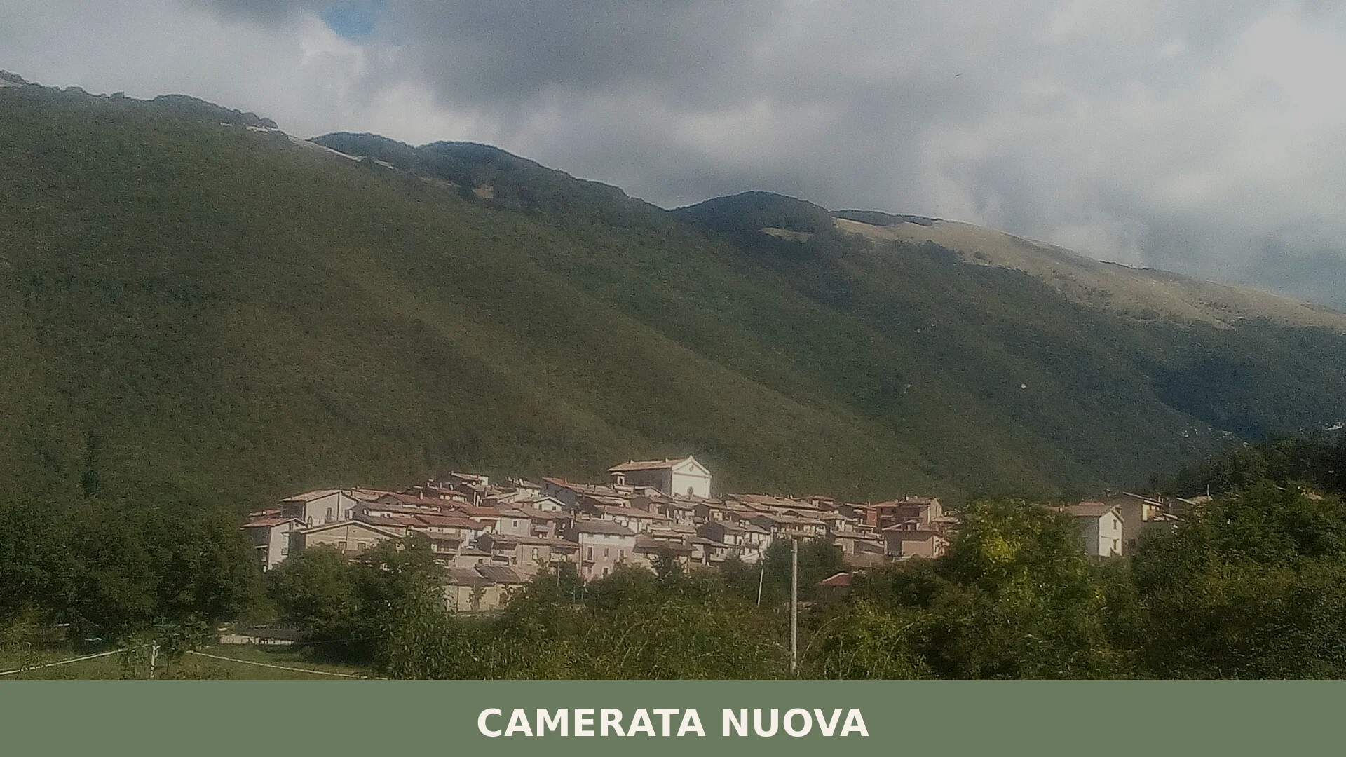
Camerata Nuova
 Mountain
Camerata Nuova is a mountain comune of around 400 inhabitants in the Metropolitan City of Rome, rebuilt after an 1859 fire and set within the Parco Naturale Regionale dei Monti Simbruini at the easter
Discover Camerata Nuova
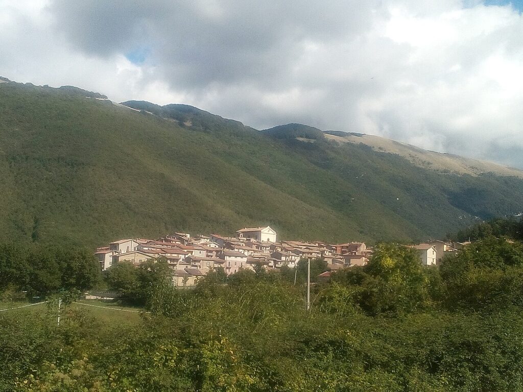
Camerata Nuova is a mountain comune of around 402 inhabitants in the Metropolitan City of Rome, Lazio, sitting at 810 metres above sea level on the slopes of the Apennine ridge that marks the eastern boundary of the region with Abruzzo. It lies within the Parco Naturale Regionale dei Monti Simbruini, at the upper end of the Aniene valley where it meets the Marsica, and its territory rises to Monte Autore — the highest summit in the entire Metropolitan City of Rome at 810 metres — while the karst plateau of Camposecco, at around 810 metres, spreads to the south of the village.
The Camerata Nuova village in Lazio visible today is the product of a deliberate reconstruction: the medieval predecessor, known as Rocca in Camerata and set on a limestone outcrop roughly 810 metres higher, was lost to fire in January 1859, after which the community rebuilt on lower ground and gave its new centre successive names — Pio Camerata until 1870, then Camerata Nuova from 1872 — while retaining a documented history that reaches back to an eleventh-century mention in the Regesto sublacense and to a 1096 donation of the castle to the abbey of Montecassino.
Camerata Nuova village in Lazio: history and origins
Camerata Nuova is a settlement of medieval origin in the Lazio Apennines, whose earliest recorded ancestor appears under the name Camorata in the Regesto sublacense of the eleventh century, and whose present form dates from the reconstruction that followed a catastrophic fire on 9 January 1859.
The first clearly dated event in the village’s history comes from 1096, when a noblewoman named Aldegrina (also recorded as Aldegrima), countess of Carsoli and widow of Rainaldo, count of the Marsi — who had died during the First Crusade — donated the castle, together with several neighbouring fortifications, to the abbey of Montecassino. The following year, 1097, Pope Urban II formally confirmed this gift and the surrounding possessions to the Cassinese abbot Oderisio through an official papal bull.
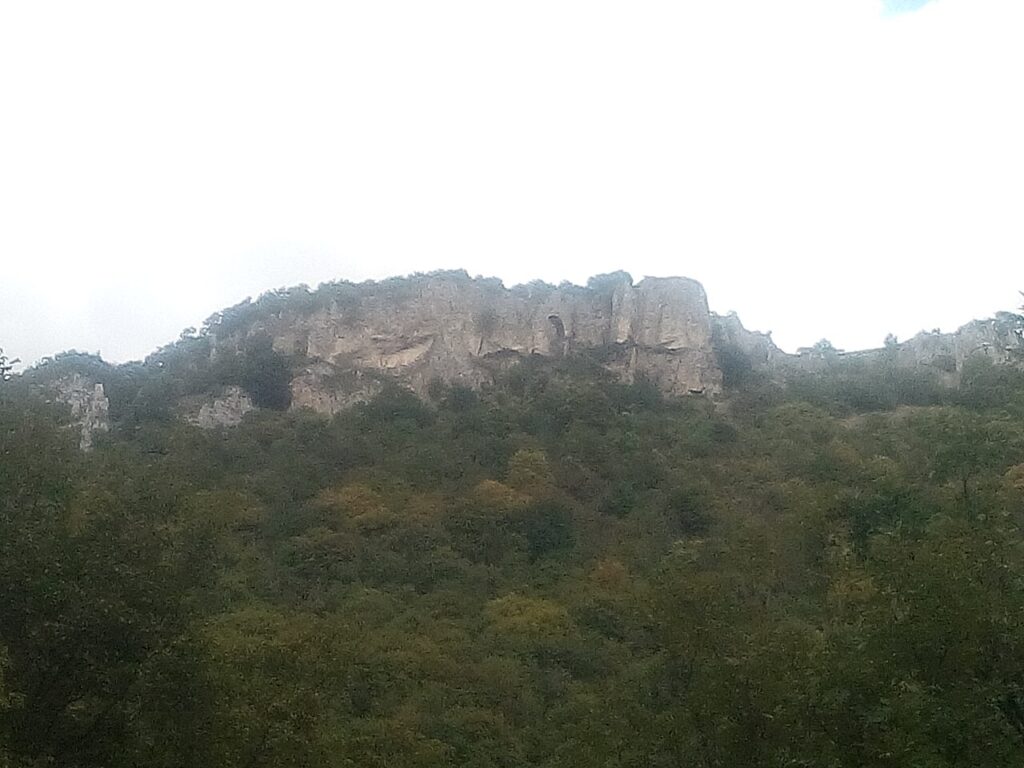
The older settlement, known in medieval sources as Rocca in Camerata and situated on a limestone outcrop some 810 metres above the present village, was destroyed by fire in January 1859. The community rebuilt on lower ground, and the new centre was named Pio Camerata in honour of Pope Pius IX, a designation it held from 1859 until 1870. In 1872 the settlement took on its current official name, Camerata Nuova.
Churches, Ruins and Mountain Landscape
Camerata Nuova offers visitors two active religious buildings, one set of church ruins, the archaeological remains of the original medieval village, and a substantial natural area within the Monti Simbruini regional park.
Chiesa di Santa Maria Assunta
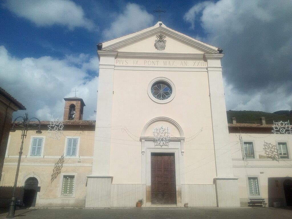
The parish church of Santa Maria Assunta is the main place of worship in the village. The sources record its name but no further details of its architecture or contents.
Santuario di Santa Maria delle Grazie
A sanctuary dedicated to Santa Maria delle Grazie also stands in the area. Beyond its name and religious function, no additional details are documented in the available sources.
Ruins of the Church of San Salvatore
Only the ruins of the former church of San Salvatore survive. No description of its original form or period is recorded in the sources.
Rovine di Camerata Vecchia
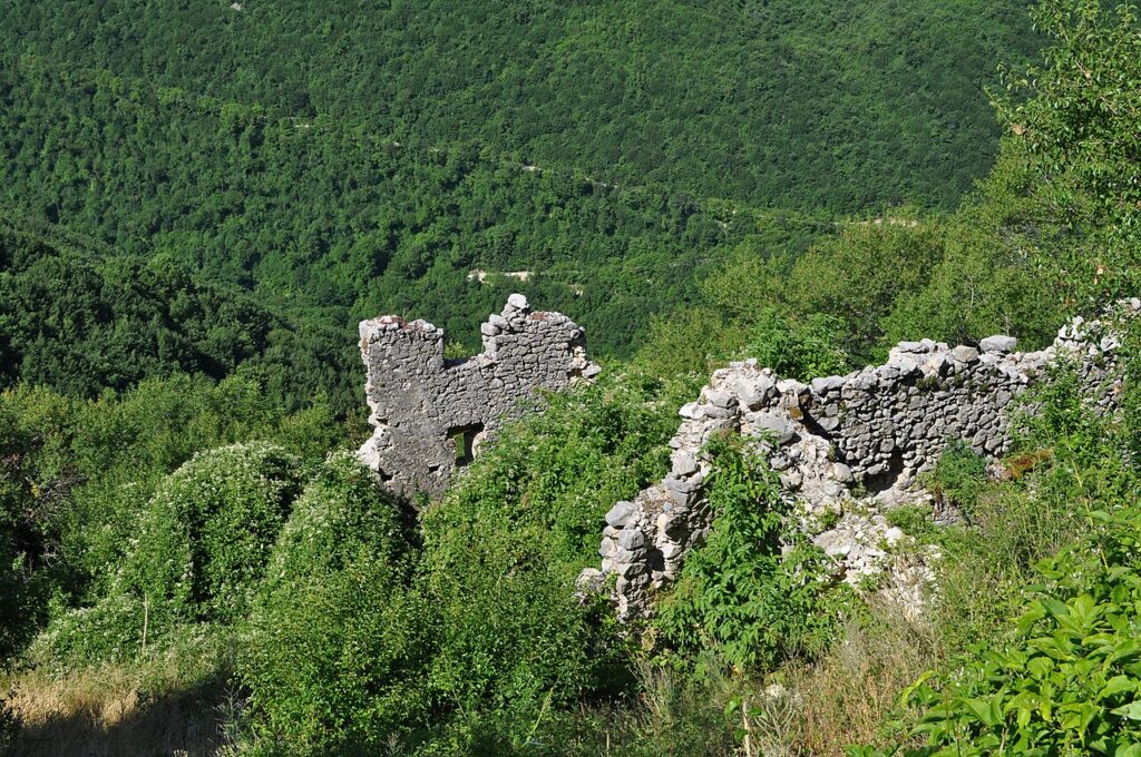
The ruins of Camerata Vecchia mark the site of the earlier settlement, known in medieval sources as Rocca in Camerata, which was destroyed by fire in January 1859. The old village stood on a limestone outcrop roughly 810 metres above the current town. These remains represent the most direct physical link to the settlement documented as early as the eleventh century in the Regesto sublacense.
Parco Naturale Regionale dei Monti Simbruini and Monte Autore
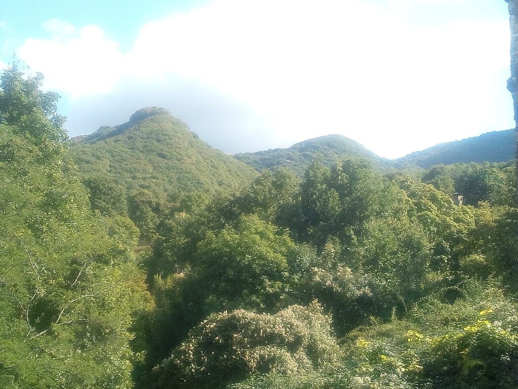
The entire territory of Camerata Nuova falls within the Parco Naturale Regionale dell’Appennino – Monti Simbruini. In the south-eastern part of the municipal area rises Monte Autore, at 810 metres the third highest summit of the Simbruini range and the highest point within the Metropolitan City of Rome. The carsic plateau of Camposecco lies at around 810 metres to the south of the village, while the Fosso Fiojo and the slopes of Monte Livata complete the principal natural features of the commune.
Certified Products and Regional Flavours Around Camerata Nuova
The territory around Camerata Nuova falls within a provincial and regional food tradition anchored by two IGP-certified lamb designations: Abbacchio Romano IGP and Agnello del Centro Italia IGP, both recognised at European level and characteristic of the wider Roma province. These are products of the surrounding countryside rather than exclusive specialities of the village itself.
The same provincial frame includes Carciofo Romanesco del Lazio IGP and Mozzarella di Bufala Campana DOP, found across the region. Among traditional distilled and liqueur preparations associated with the broader Lazio area, the fact sheet records several PAT-listed preparations — including liquore di genziana, liquore fragolino, liquore nocino, mistrà, rattafia ciociara, sambuca romana and cioccolata a squajo — though none of these is documented as a production specific to Camerata Nuova.
On the wine side, the territory sits within reach of notable Lazio appellations. The DOCGs include Cannellino di Frascati, Frascati Superiore and Cesanese del Piglio / Piglio. Among the DOCs, Cesanese di Affile / Affile and Castelli Romani are the closest geographically. The IGT Lazio and Frusinate / del Frusinate designations also cover this part of the Aniene valley.
Reaching Camerata Nuova and Planning Your Visit
Camerata Nuova sits at 810 metres above sea level in the Monti Simbruini regional park, roughly 10 km from Cervara di Roma (about 15 minutes by road) and approximately 25 km from Subiaco (about 35 minutes), making late spring through early autumn the period when mountain roads and the park’s natural areas are most reliably open and pleasant for exploration.
The village is reached by car along the roads that thread through the upper Aniene valley, following the boundary between Lazio and Abruzzo. There is no rail connection directly serving Camerata Nuova; the nearest practical rail access is at Subiaco or further along the valley. With a population of around 400, the village offers a quiet, unhurried pace that suits walkers and those exploring the wider Simbruini massif, including Monte Autore at 810 metres — the highest point in the Metropolitan City of Rome — which rises in the southern-eastern corner of the municipal territory.
Visitors travelling through this stretch of the valley may also wish to include nearby communities along the Aniene: Arsoli lies downstream, while Anticoli Corrado and Agosta form part of the same network of small hill settlements that characterise this part of the province of Rome. The karst plateau of Camposecco at 810 metres, reached by heading south from the village, and the Fosso Fiojo valley add natural interest for those spending more than a single day in the area.
| Departure | Distance | Time |
|---|---|---|
| Roma (centro) | approx. 80 km | approx. 1h 30min |
| Subiaco | approx. 25 km | approx. 35 min |
| Cervara di Roma | approx. 10 km | approx. 15 min |
These practical references help organise the journey clearly, while the village itself is best understood slowly and on foot once you arrive.
Frequently asked questions about Camerata Nuova
When is the best time to visit Camerata Nuova?
Summer and early autumn are ideal for hiking and outdoor activities in the Monti Simbruini Regional Natural Park. The patron saint feast of Sant'Egidio on September 1st celebrates the village's cultural heritage. Winter brings snow to these 810-metre Apennine slopes, while spring offers wildflowers and mild weather. Plan visits between May and October for optimal conditions and accessibility to mountain trails.
What is the highest mountain accessible from Camerata Nuova?
Monte Autore, standing at 1,855 metres, is the highest summit in the entire Metropolitan City of Rome. Located within the village's territory, it offers experienced hikers a challenging alpine route with panoramic views across the Apennines toward Abruzzo. The ascent provides stunning landscapes of the karst Camposecco plateau and the Aniene valley below.
How long should I plan to spend in Camerata Nuova?
A day visit suits casual tourists exploring the village and local churches. For serious hikers tackling Monte Autore or multi-trail routes through Monti Simbruini, plan 2-3 days minimum. This timeframe allows time for mountain activities, cultural exploration, rest, and appreciation of the Apennine landscape without rushing through outdoor adventures.
What happened to the original medieval settlement?
The medieval predecessor, called Rocca in Camerata, stood approximately 400 metres higher on a limestone outcrop. It was destroyed by fire in January 1859. The community subsequently relocated downslope and rebuilt, initially naming their new settlement Pio Camerata until 1870, then officially adopting Camerata Nuova from 1872 onward.
📷 Photo Gallery — Camerata Nuova
In Lazio More villages to discover
Lubriano
 Hills
Hills
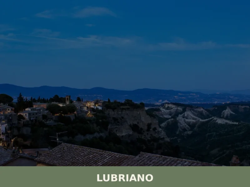
Lubriano has 864 inhabitants and occupies a tuff plateau at 441 metres above sea level, separated from the more famous Civita di Bagnoregio by a calanchi valley nearly two hundred metres deep. The municipal boundary runs along the edge of a gorge that geologists classify as one of the most active in Tuscia for erosion. […]
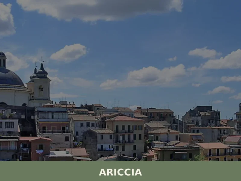
Ariccia
Hills
What to see in Ariccia: from Palazzo Chigi to the monumental bridge, discover the 5 top attractions. Plan your visit with this complete travel guide.
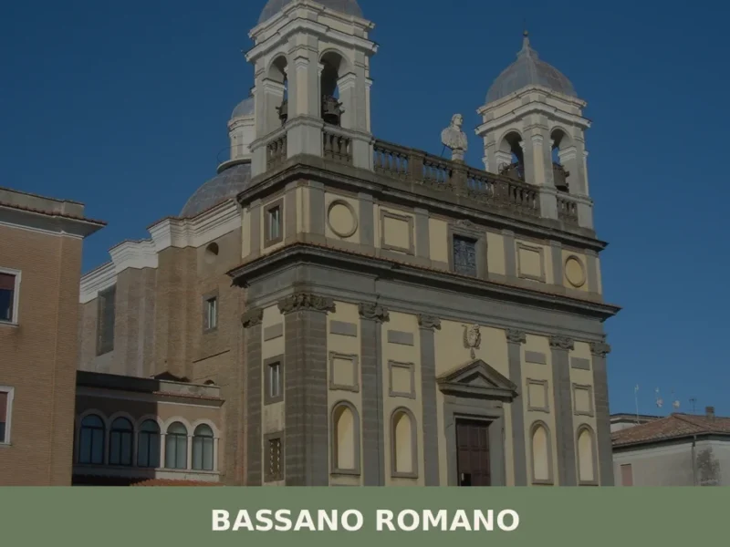
Bassano Romano
Hills
What to see in Bassano Romano, Italy: Palazzo Giustiniani, maiolica heritage, and the feast of San Gratiliano. 4,980 inhabitants at 360 m. Discover it now.
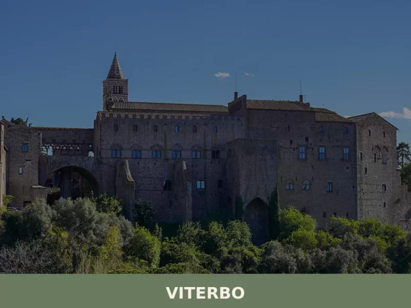
Viterbo
Hills
What to see in Viterbo: Palazzo dei Papi, San Pellegrino, Terme del Bullicame and the UNESCO festival of Santa Rosa. Practical guide with info on how to get there and when to visit.
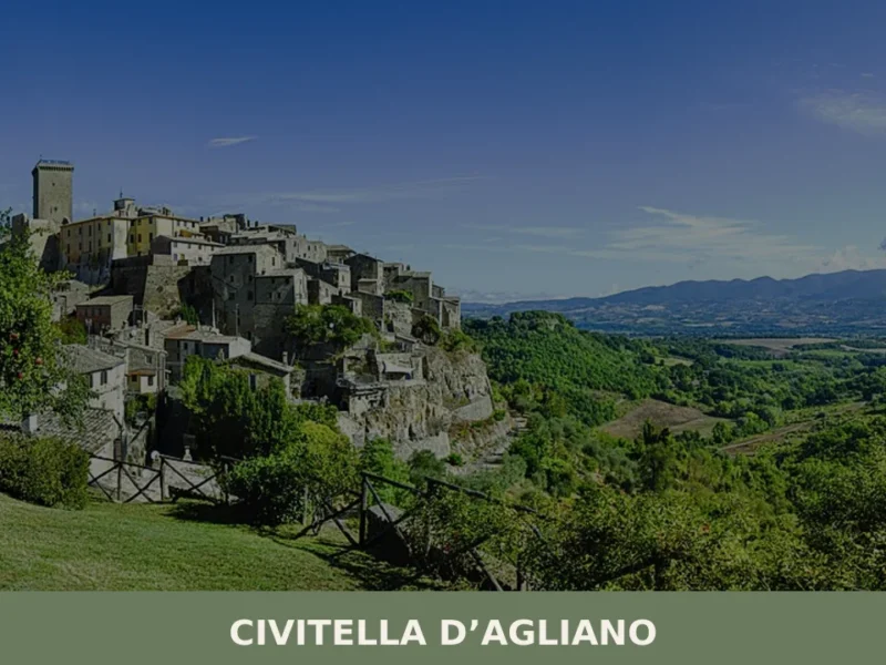
Civitella d’Agliano
Hills
What to See in Civitella d'Agliano: Tower, Castle, Festival. Discover the historic attractions of the village! Experience culture and flavors.
Villa San Giovanni in Tuscia
Hills
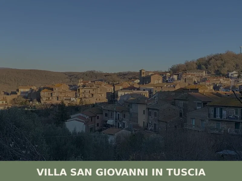
Villa San Giovanni in Tuscia has 1,196 inhabitants spread across a hilly territory at 329 metres above sea level, in the province of Viterbo. The settlement preserves a compact layout dating back to the feudal reorganisation of the late Middle Ages, when the village was under the control of baronial families that ruled upper Lazio. […]

Boville Ernica
Hills
What to see in Boville Ernica, Lazio, Italy: 18 intact medieval towers, a mosaic attributed to Giotto, and pre-Roman walls. Discover the complete travel guide.
Carbognano
Hills
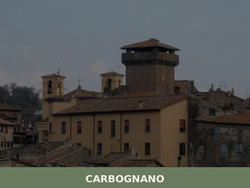
What to see in Carbognano, Italy: a hilltop village at 394 m, 50 km from Rome. Explore its churches, local food, and festivals. Discover Viterbo province.
Morro Reatino
Mountain
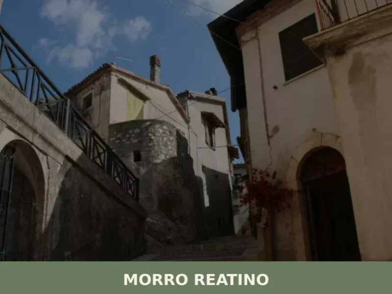
What to see in Morro Reatino: a village at 750 m in Rieti with 353 residents. Visit the medieval church of San Lorenzo, the historic centre, and discover PAT-certified guanciale amatriciano.
Bagnoregio
Hills
 Lake
Lake
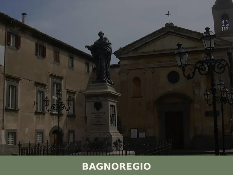
What to see in Bagnoregio, Lazio, Italy: explore Civita di Bagnoregio, the birthplace of St. Bonaventure, 90 km from Rome. Discover top attractions and local food.





🏡 Know Camerata Nuova better than we do?
If you’re a local or have been there, your knowledge matters: add what’s missing or fix a detail on this page.