


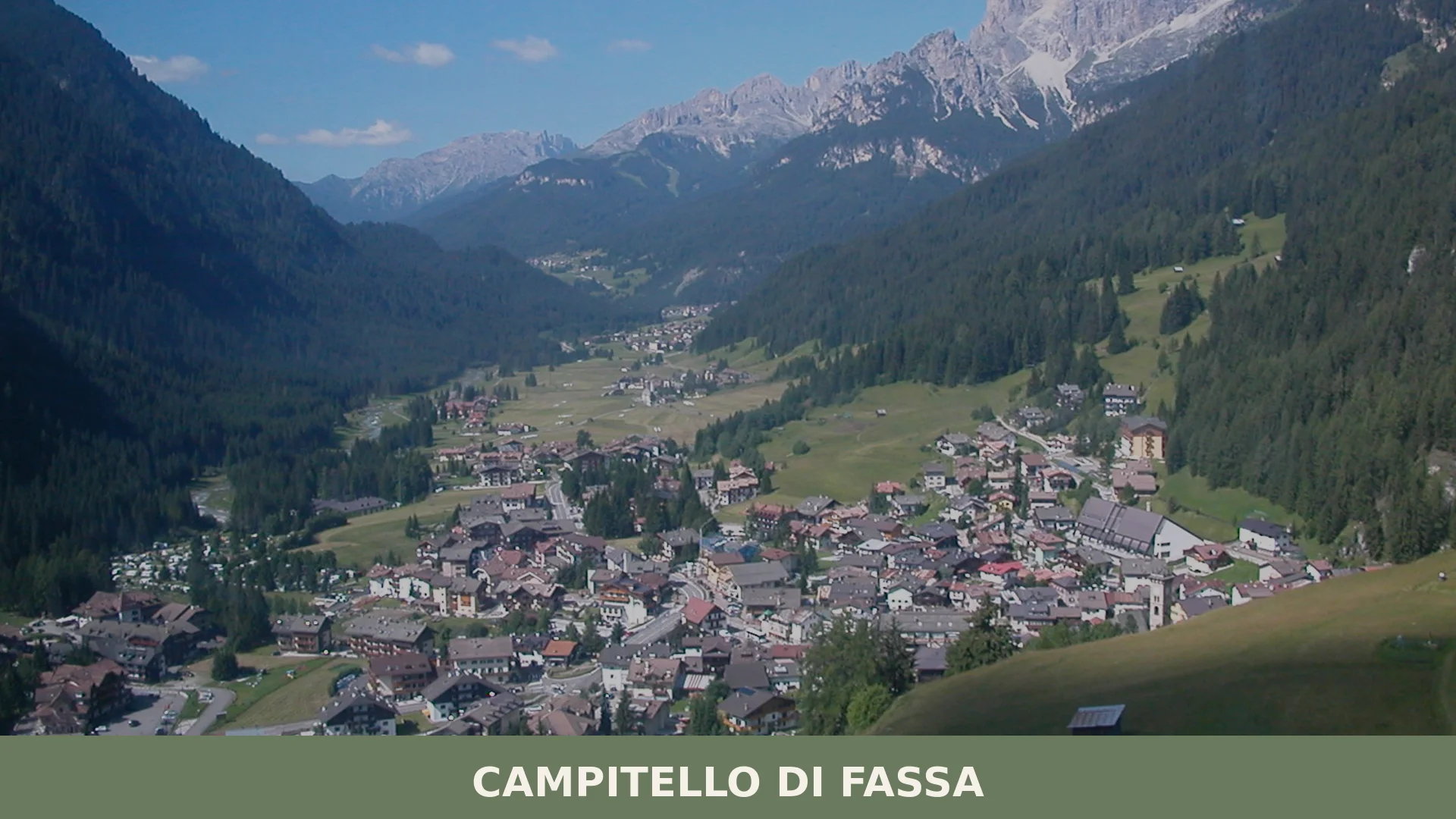

Campitello di Fassa is a Ladin mountain comune of 674 inhabitants at 1,427 metres in Val di Fassa, province of Trento, framed by the Marmolada, Sella, Sassolungo and Catinaccio groups.
Discover Campitello di Fassa
Campitello di Fassa is a mountain commune of 674 inhabitants situated at roughly 1448 metres above sea level in Val di Fassa, within the province of Trento in Trentino-Alto Adige. It occupies a position on the right bank of the valley, built on an alluvial fan formed by the rio Duron, whose waters descend from the adjacent Val Duron before joining the Avisio torrent below. The surrounding landscape is defined by some of the most distinctive massifs of the Dolomites: the Marmolada, the Sella group, the Sassolungo and the Catinaccio rise as a natural amphitheatre around the settlement, which sits within a territory shaped by ancient glacial action and crossed by a network of streams and valleys.
One of the eighteen communes of Ladinia, the Campitello di Fassa village in Trentino-South Tyrol carries a cultural identity anchored in the Ladin language — specifically the local cazèt variant of the Fassano dialect — as well as in longstanding craft traditions including wood carving and decorative ironwork. With a surface area of just over 25.07 square kilometres and a climate that remains cool even in summer, the village developed from a small alpine community into a recognised mountain resort by the end of the nineteenth century, drawing visitors from well beyond the regional borders.
Campitello di Fassa village in Trentino-South Tyrol: history and origins
Campitello di Fassa has a documented human presence stretching back to prehistoric times, confirmed by ceramic remains from the late Iron Age uncovered in 1970 at the locality known as Pian dei Crepèi, while more recent studies indicate that early settlements in the area were not merely seasonal but included communities of a permanent nature. The territory subsequently came under Roman influence, as happened across much of the surrounding alpine region.
During the early medieval period, control over the area passed to the prince-bishops of Bressanone, a dominance reinforced by the proximity of the abbey of Novacella. Traces of Lombard rule also persisted, shaping the local civil, religious and military organisation for some time. The social structure that emerged in Campitello, as throughout Val di Fassa, remained deeply rooted in alpine custom and tradition.
From the nineteenth century onward, the village’s economic focus shifted decisively toward tourism and hospitality. By the close of that century, Campitello had earned a solid reputation as one of the foremost alpine resorts not only in Trentino but across the entire Alpine arc, attracting both pioneering mountaineers and geologists drawn to the spectacular peaks surrounding the valley. In late October 2018, the catastrophic storm known as Vaia struck the territory with severe force, destroying nearly all forested zones and causing losses equivalent to around twelve years of planned timber harvesting.
Churches, Memorials and Civic Buildings in Campitello di Fassa
Campitello di Fassa preserves a small but documented set of historical landmarks: the church of Santi Filippo e Giacomo, a World War memorial, and the Cèsa de Comun, alongside the mountain connection to Col Rodella.
Chiesa dei Santi Filippo e Giacomo
The parish church dedicated to Saints Philip and James is the oldest recorded monument in the village. Documentary references to it date to 1245, while the current architectural fabric goes back to 1525. No further details on style or decorative elements are provided by available sources.
Monumento ai Caduti
The war memorial was originally erected to honour those who died in the First World War. In the second half of the twentieth century, the names of those lost in the Second World War were added to it.
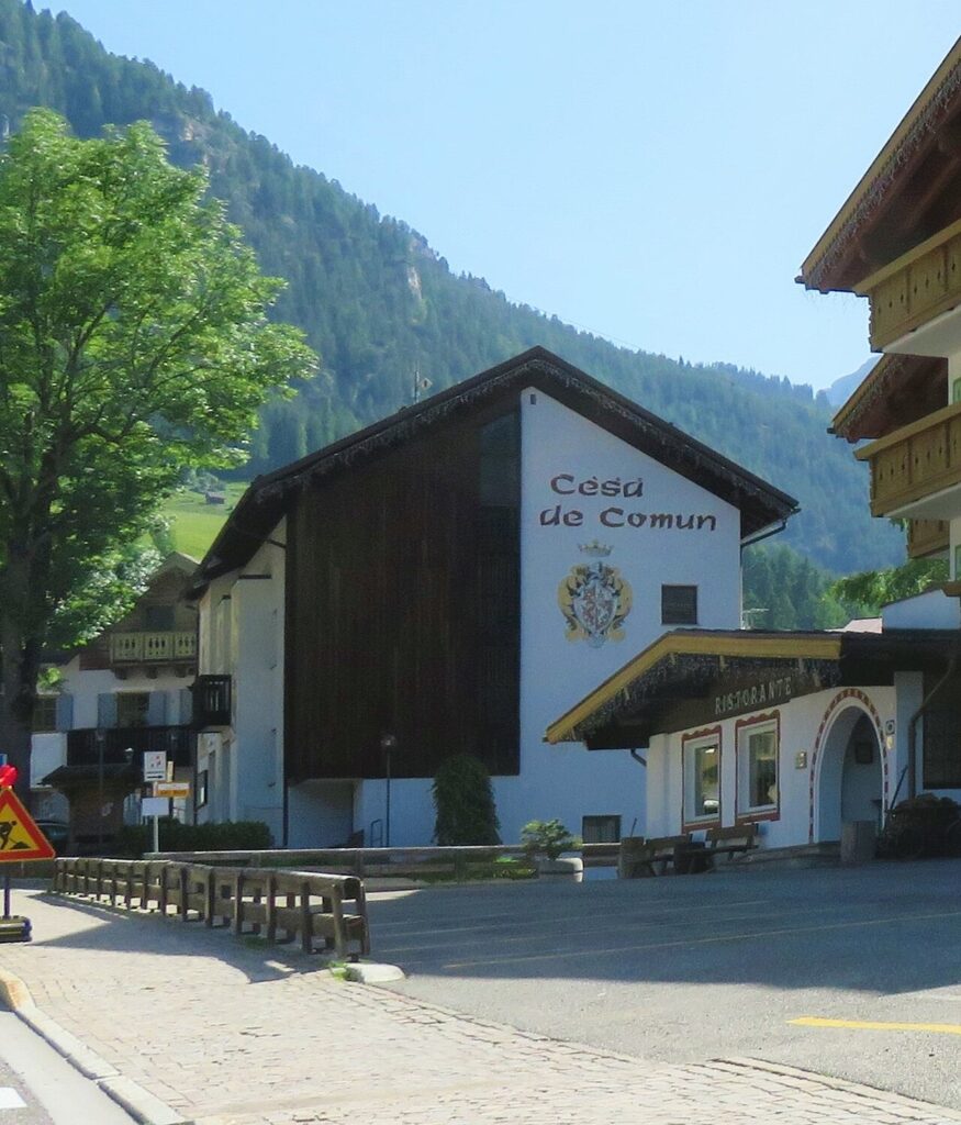
Cèsa de Comun
The Cèsa de Comun — literally “House of the Commune” — is the historic civic building of Campitello di Fassa. Sources record its name and function without providing further architectural detail.
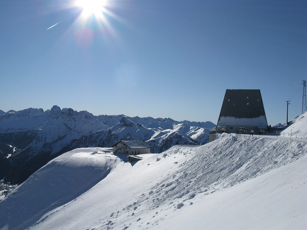
Col Rodella
The Col Rodella is connected to the village by a cable car, making it directly accessible from the centre of Campitello di Fassa.
Flavours of Campitello di Fassa and the Val di Fassa Area
Campitello di Fassa sits within a broader Trentino food tradition, where the most recognised products include Carne Salada del Trentino (IGP), Mele del Trentino (IGP), and certified cheeses such as Grana Padano (DOP) and Asiago (DOP), none of which are exclusive to the village but are widely found across the province. The local craft tradition of woodcarving and ironwork — both practised in Campitello — extends in spirit to the handmade character of the area’s food culture, rooted in mountain ingredients and seasonal rhythms.
Among regional produce with a longer pedigree, the Val di Fassa territory falls within the zone associated with Mela Val di Non (DOP), one of the most celebrated apple appellations in the Alps. The province also yields distilled spirits with strong local character: acquavite di ginepro, distillati di frutta trentina, and the aromatic Imperatoria acquavite are all part of Trentino’s PAT heritage. Sciroppo di sambuco — elderflower syrup known locally as Conserva de sambùc or Dulzen — and sciroppo di lampone round out a repertoire of mountain-larder staples worth seeking out in the valley’s shops and markets.
Planning your visit and getting there
Campitello di Fassa can be reached easily from the lower Val Pellice and the Turin area. The practical distances and journey times below are kept concise on purpose, so the access information stays clear and consistent.
| Departure | Distance | Time |
|---|---|---|
| Trento | approx. 80 km | approx. 1 h 15 min |
| Canazei | approx. 5 km | approx. 10 min |
| Bolzano | approx. 55-60 km | approx. 1 h 10 min |
These practical reference points are enough to plan the journey without overloading the text with unstable logistics. Once on site, the village is best understood slowly, on foot and in relation to the surrounding landscape.
Frequently asked questions about Campitello di Fassa
What is the best time to visit Campitello di Fassa?
Summer (June–September) offers mild temperatures ideal for hiking and exploring the Dolomite peaks surrounding the village. Winter attracts skiing enthusiasts to the Val di Fassa resort area. The patron saint feast of SS. Filippo e Giacomo on May 11th celebrates local culture. Spring and autumn provide quieter visits with pleasant weather for walking and photography of the Marmolada, Sella, and Sassolungo massifs.
How do I reach Campitello di Fassa by car?
Drive to the province of Trento via the Brenner Motorway (A22). Exit towards Val di Fassa and follow regional roads through the valley. The village sits at 1,448 metres in Val di Fassa, approximately 40 kilometres from Bolzano. The scenic drive through the Dolomites takes 1.5–2 hours depending on your starting point and traffic conditions.
What outdoor activities are available in Campitello di Fassa?
The village is a mountain resort surrounded by exceptional Dolomite peaks. Hiking, trekking, and climbing routes access the Marmolada, Sella group, Sassolungo, and Catinaccio massifs. The rio Duron and Val Duron waterways create additional exploration opportunities. Summer mountaineering and winter skiing in the Val di Fassa resort area are primary activities. CAI-marked trails connect regional alpine network routes.
What cultural heritage defines Campitello di Fassa?
As one of eighteen Ladin communes, Campitello di Fassa preserves the cazèt variant of the Fassano Ladin dialect. Traditional crafts including wood carving and decorative ironwork remain central to local identity. The village developed from a small alpine community into a recognised mountain resort by the late nineteenth century, blending heritage preservation with modern tourism infrastructure.
📷 Photo Gallery — Campitello di Fassa
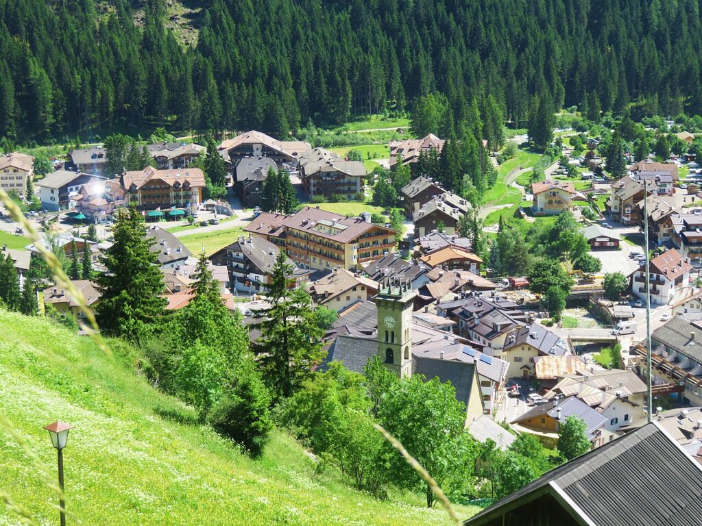
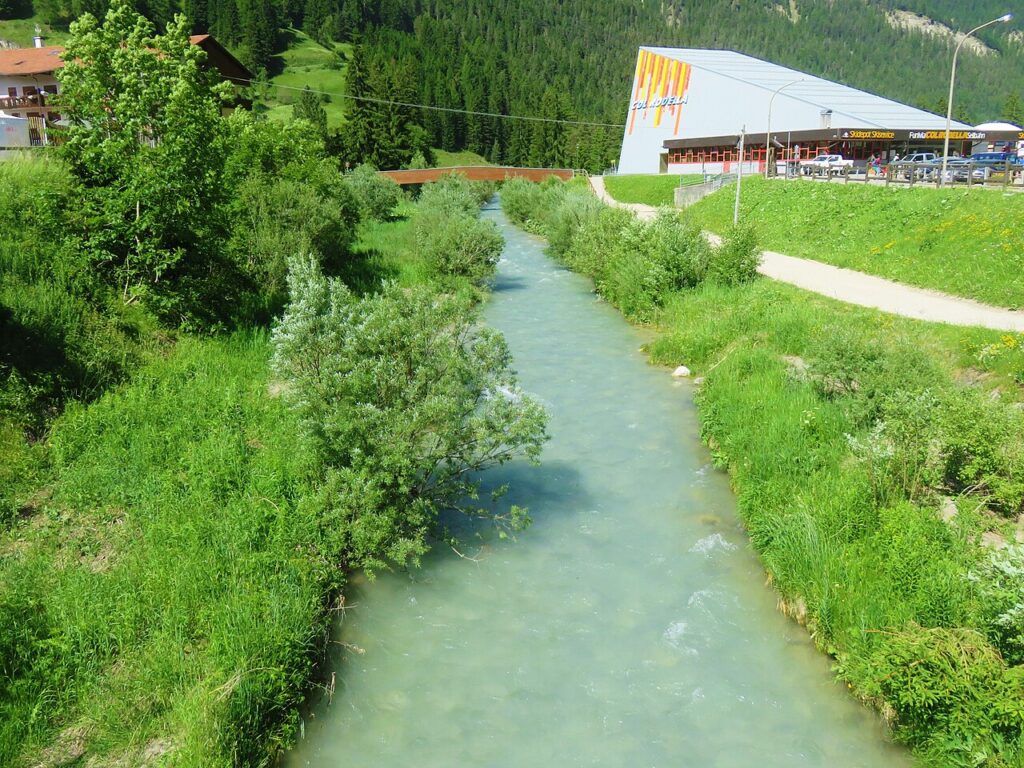
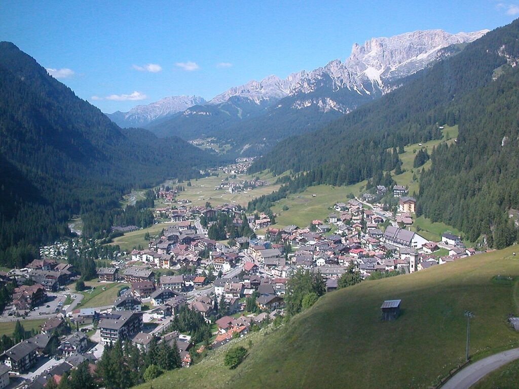
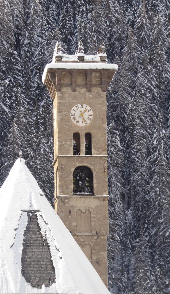
In Trentino-South Tyrol More villages to discover
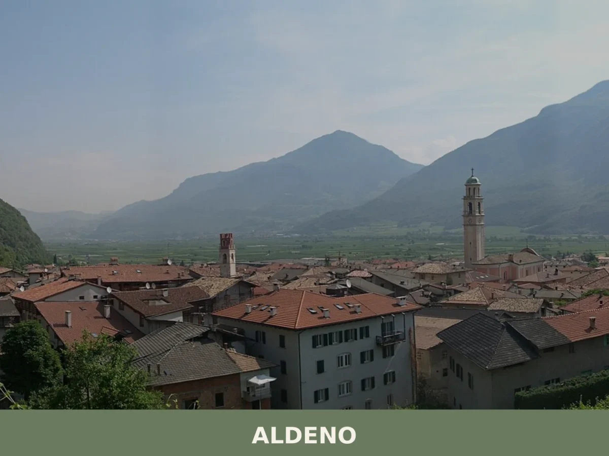
Aldeno
 Mountain
A 3,374-inhabitant comune on the Adige's bank, Aldeno blends prehistoric trade crossings with baroque churches and the memory of the Austro-Hungarian Great War command.

Renon
Mountain
At 1154 m above sea level, Renon offers earth pyramids, medieval castle ruins and a narrow-gauge railway surviving from 1907.
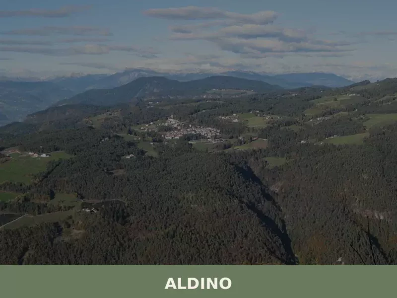
Aldino
Mountain
Population 1,607. Aldino sits at 1,225 metres in Bolzano province, where Alpine architecture and seasonal rhythms shape daily life.
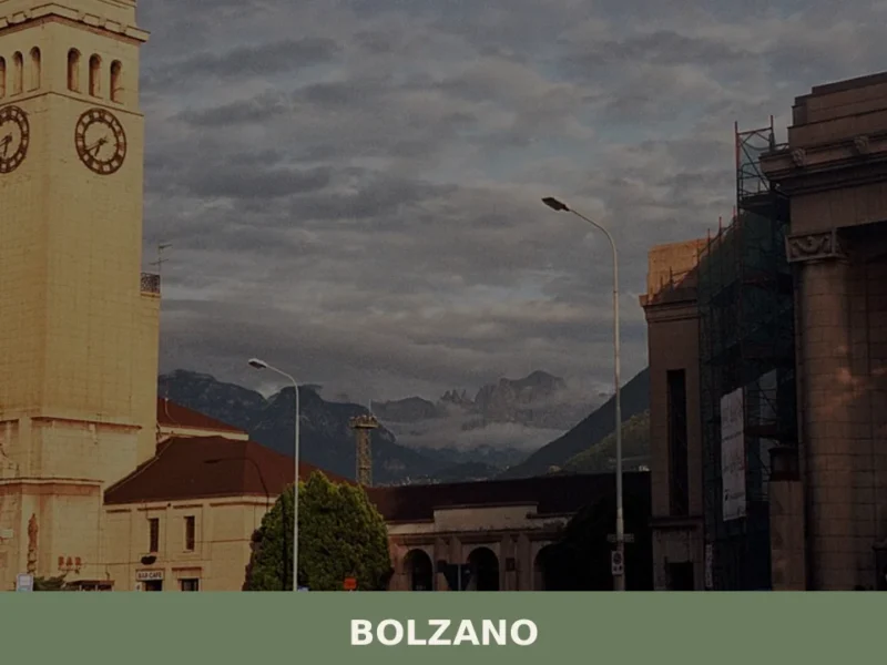
Bolzano
 Hills
Hills
what to see in bolzano at 262m altitude. Discover the South Tyrol Museum of Archaeology, home to Ötzi the Iceman, and stroll along the historic Portici Street.
Campodenno
Mountain
Campodenno is a municipality of about 1,500 inhabitants in the lower Val di Non, province of Trento, whose documented history stretches back to 1276 and whose territory rises from 269 metres to the 2,
Caldonazzo
 Lake
Mountain
Lake
Mountain
Caldonazzo is a municipality of around 4,000 inhabitants in the Province of Trento, set at 486 metres above sea level at the gateway to the Valsugana valley, where the river Brenta rises from its glac
Andriano
Hills
At 274 metres above sea level, on the left bank of the Adige river, Andriano has 1,025 inhabitants spread between the historic centre and the farmsteads scattered among rows of vines. The municipality, one of the smallest in South Tyrol by area, extends entirely across flat ground along the alluvial strip connecting Bolzano to Merano. […]
Braies
Mountain
Lake Braies, sitting at 1496 metres above sea level, is the deepest natural lake in South Tyrol: 36 metres at its maximum point, fed by underground springs that filter through the Dolomite rock. This geological fact alone explains why hundreds of thousands of people reach this side valley off the Puster Valley every year. But […]
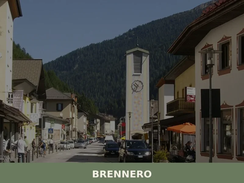
Brennero
Mountain
The Brenner Pass, at 1,370 metres above sea level, is the lowest Alpine crossing between Italy and Austria, and this geographical circumstance has shaped every aspect of life in the village that bears its name. With 2,111 inhabitants spread across the hamlets of Brennero, Fleres, Ponticolo and Terme di Brennero, the municipality marks the northern […]
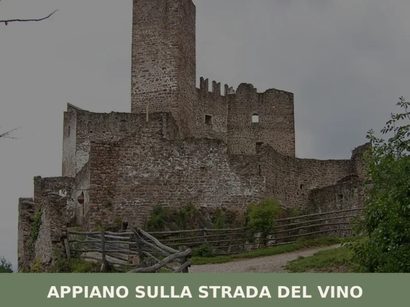
Appiano sulla strada del vino
Hills
The municipality of Appiano sulla strada del vino has 14,304 inhabitants spread across eight hamlets — San Michele, San Paolo, Cornaiano, Frangarto, Missiano, Monticolo, Gaido and Girlan (Cornaiano) — set between 200 and 500 metres above sea level on the left bank of the Adige river, in the middle of the Bassa Atesina (Lower South […]

🏡 Know Campitello di Fassa better than we do?
If you’re a local or have been there, your knowledge matters: add what’s missing or fix a detail on this page.