


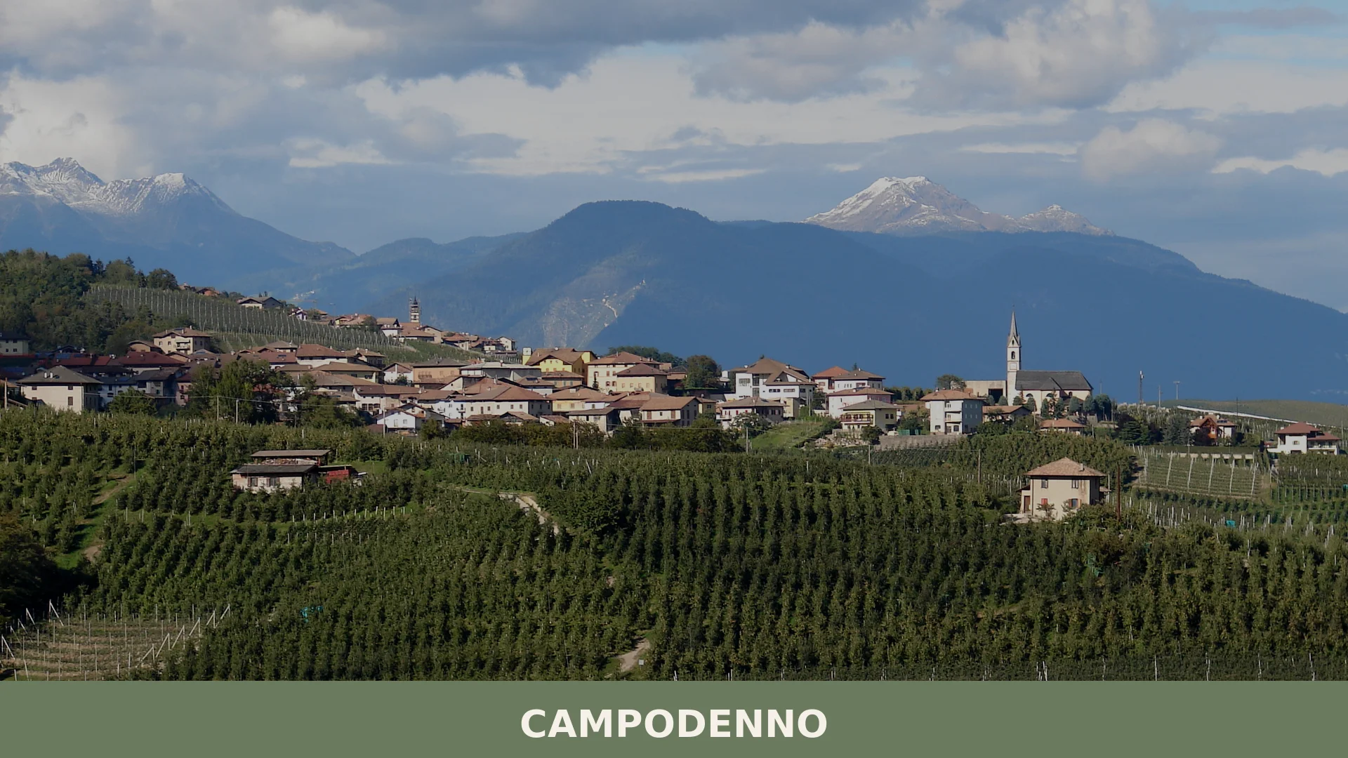

Campodenno is a municipality of about 1,500 inhabitants in the lower Val di Non, province of Trento, whose documented history stretches back to 1276 and whose territory rises from 269 metres to the 2,
Discover Campodenno
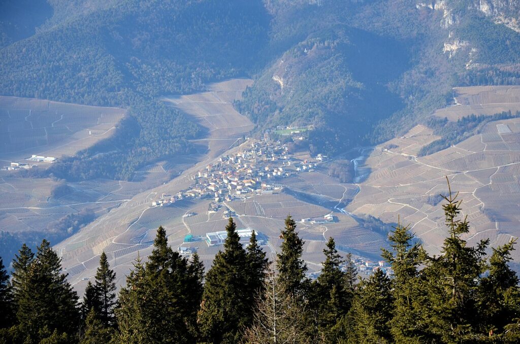
Campodenno is a municipality of about 1516 inhabitants in the province of Trento, Trentino-Alto Adige, occupying roughly 25.39 square kilometres on the right bank of the Torrente Noce in the lower Val di Non. Its municipal centre sits at 534 metres above sea level, while the territory stretches from a low point of 534 metres at Cressino up to 534 metres at Cima Santa Maria — an altitudinal range of more than 534 metres that takes in alpine pastures, forested slopes, and the outermost spurs of the Dolomiti di Brenta. The comune includes several distinct settlements — among them Dercolo, Lover, Termon, Quetta and Segonzone — whose earliest written records date to 1276, when a deed recorded the transfer of a local serf to the bishop of Trento.
Straddling medieval history, mountain landscape and a living agricultural tradition centred on the Val di Non’s renowned apple-growing culture, Campodenno village in Trentino-South Tyrol rewards visitors who look beyond the better-known resort towns of the region. A restored medieval castle, a cycle of fifteenth-century frescoes, protected riverside habitat along the Noce, and a network of trails linking high-altitude malghe to the valley floor give this compact community a range of experiences that belies its modest size.
Campodenno village in Trentino-South Tyrol: history from medieval lords to modern municipality
Campodenno’s documentary record opens in 1276, when the nobleman Oldarico de Enno transferred his serf Bontempo della Palma — together with all of Bontempo’s heirs — to the bishop of Trento, Enrico II, establishing the earliest written trace of the settlement. Control of the village shifted across successive noble families over the following two centuries: a document of 1282, preserved in the Archivio Thun at Castel Bragher, records how the Flavon counts Riprandino and Ramberto shared lands and men across the villages of Termon, Lover and Campodenno. The Flavon line lost its local holdings during the fourteenth century; by 1385 the right of decima was held jointly by Enrico — nephew of the notary Walter of Flavon and resident at Castel Corona — and Giovanni of Spormaggiore, covering Campodenno, Quetta and Lover. In 1394 the Castel Corona family transferred those assets to Matteo II Spaur.
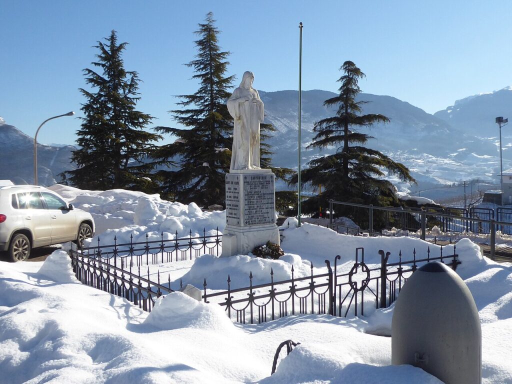
The twentieth century brought administrative upheaval. After the First World War the area became part of the newly annexed Venezia Tridentina, and in 1928 a Fascist-era reform merged Campodenno into a larger entity centred on Denno. A referendum held in 1951 allowed the villages of Campodenno, Dercolo, Lover, Quetta and Termon to separate from the Comune di Denno, and the Regional Law no. 31 of 23 August 1952 formally constituted them as an autonomous municipality. In November 1944, amid Allied bombing raids targeting the Brenner corridor, an American B-26 Marauder, having taken off from Corsica, was shot down by German anti-aircraft fire and crashed near the hamlet at a site known as Faé-Grum; the crew, who had parachuted out, were captured by German occupation forces, and the unexploded ordnance recovered from the wreckage was placed beside the war memorial in front of the church of Santi Maurizio e Compagni.
Churches, a Castle, and Historic Buildings across Campodenno and Its Villages
Campodenno and its surrounding villages offer a castle, five parish churches, several smaller chapels, two historic palaces, and a protected natural area along the Noce torrent — all within a compact territory spanning roughly 25.39 square kilometres.
Castel Belasi
Built in the late thirteenth century near the village of Segonzone, Castel Belasi passed in the second half of the fourteenth century to the Khuen-Belasi family, who gave it their name. Since 2000 it has been the property of the Municipality of Campodenno and is open to visitors during the summer months.
Chiesa dei Santi Maurizio e Compagni
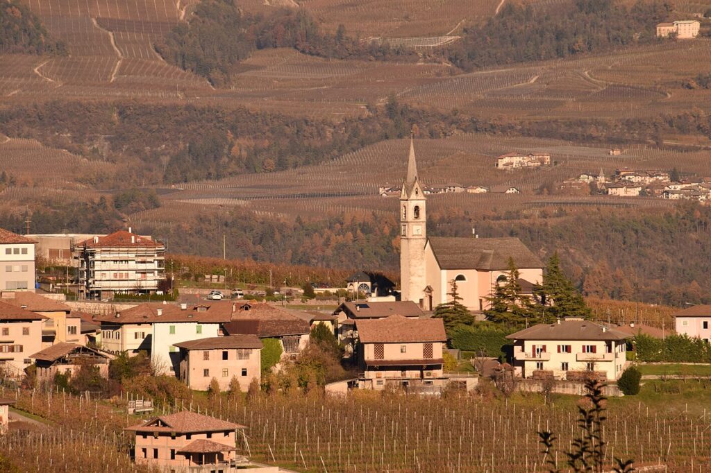
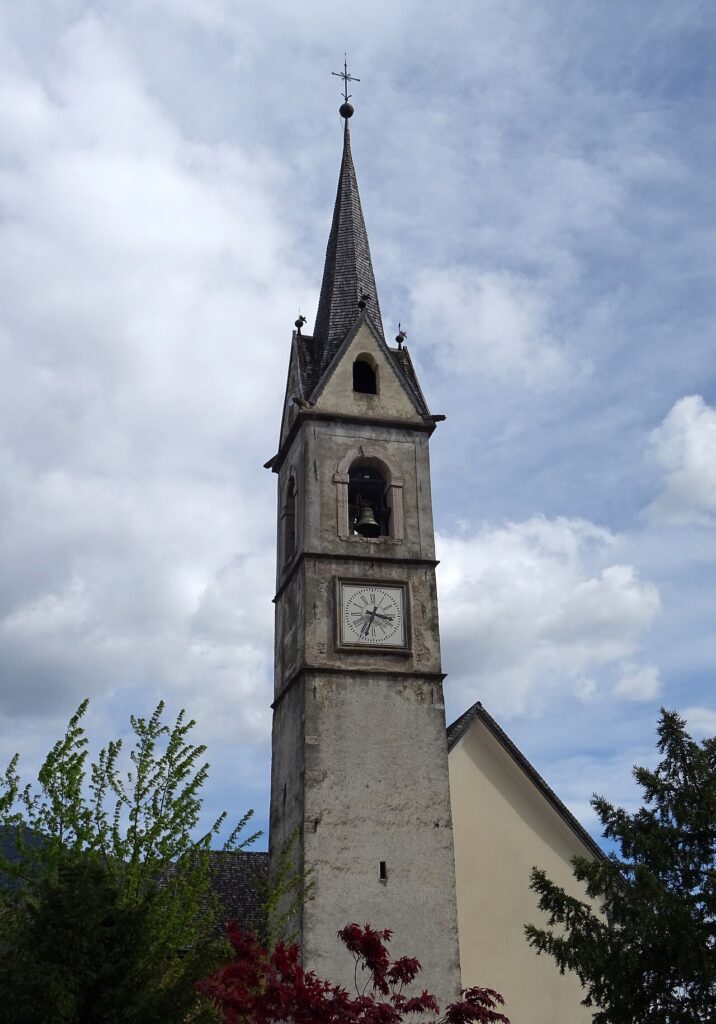
The main parish church of Campodenno, which assumed that role in 1959, holds on its right lateral altar a painting by Domenico Udine Nani commemorating the cholera epidemic of 1836, from which the village was spared. In front of the church stands the war memorial, beside which the unexploded bombs recovered from the American B-26 Marauder that was shot down over the locality of Faé-Grum in November 1944 were placed.
Chiesa di San Pancrazio
Documented as early as 1363 and situated above the village of Campodenno, this church served as a hermitage from the seventeenth century until the end of the eighteenth. In the course of the seventeenth century the hermitage was enfeoffed to the de Oliva family, lords originally from Nanno.
Chiesa dei Santi Filippo e Giacomo, Segonzone
A subsidiary church in the village of Segonzone, built during the fifteenth century. Its interior preserves frescoes dated 1473 by the brothers Giovanni and Battista Baschenis.
Chiesa di Sant’Egidio, Quetta
The parish church of Quetta was rebuilt during the sixteenth century. Inside, the main altar is a wooden structure attributed to Simone Lenner and dating to the seventeenth century. A sixteenth-century wooden relief of the Adoration of the Magi, formerly housed here, is now held at the Museo Diocesano Tridentino.
Chiesa di San Michele Arcangelo
Located in the locality of Maso Sant’Angelo, this church was most probably built in the thirteenth century. A document of 1289 records that Oldarico de Enno granted a wooded plot of land to the monk Dalavanzio in connection with it, and on 15 April 1331 Pope John XXII granted an indulgence of forty days to those who visited it. In 1892 the building passed into the ownership of the Beatrici family.
The Municipal Palace and Casa Sicher
Cappella dell’Addolorata, Crescino
A small chapel built in the nineteenth century in the locality of Crescino.
Biotopo La Rocchetta
Established in 1992 as a protected natural area, the Biotopo La Rocchetta covers 88.86 hectares along the final stretch of the Noce torrent, preserving a riverine and peri-riverine environment. It is the lowest point of the municipal territory, near the locality of Cressino at 534 metres above sea level.
Flavours of the Val di Non: What Campodenno and Its Area Produce
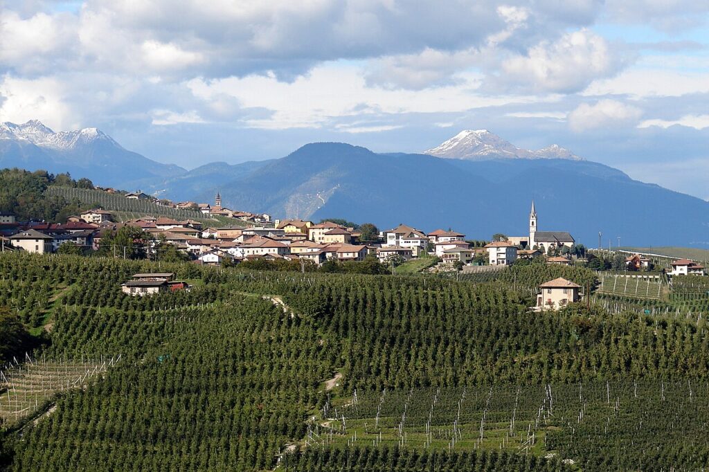
The lower Val di Non, where Campodenno sits, is apple country above all: the Mela Val di Non DOP and the broader Mele del Trentino IGP are the most recognisable certified products of this territory, and the orchards that line the Noce valley give the landscape much of its seasonal character. No single speciality can be claimed as exclusive to Campodenno’s municipal boundaries, but the area shares in the wider Trentino table of certified foods.
Among them, Carne Salada del Trentino IGP — thinly sliced salt-cured beef seasoned with herbs — is a staple of trattorie throughout the province. Grana Padano DOP and Asiago DOP represent the aged cheeses of the region, while the Garda DOP designation covers olive oils produced on the lake shores to the south.
Beyond the certified labels, the Trentino tradition of distilling runs through the area: fruit distillates, acquavite di ginepro, sciroppo di sambuco and sciroppo di lampone are all part of a long artisan heritage shared across the valleys. These belong to the regional PAT category and should be understood as territorial rather than local.
Reaching Campodenno and Planning Your Stay in the Val di Non
Campodenno is most easily reached by car from Trento, approximately 30 kilometres to the south along the Val di Non, a drive of around 30 to 35 minutes. The village sits at 534 metres above sea level on the right bank of the Noce torrent, within a territory that stretches across a municipal area of roughly 25.39 square kilometres and rises from 534 metres at Cressino to 534 metres at Cima Santa Maria — an altitudinal range of more than 534 metres.
Spring and early summer are well suited to visits: the apple orchards are in bloom, Castel Belasi opens to visitors during the summer months, and the Biotopo La Rocchetta — a protected fluvial area of nearly 89 hectares along the lower Noce — is at its most lively. The Dolomiti di Brenta Bike circuit, a long-distance cycling route that loops around the Dolomiti di Brenta, passes through the area and includes the historic Lez irrigation canal, making autumn also a rewarding season for cyclists. The village lies within the Parco Naturale Adamello Brenta, so walkers have direct access to trails leading up toward the Campa subgroup of the Dolomiti di Brenta.
Those exploring the broader Trentino-Alto Adige region might combine a stop here with a visit to Albiano, further along the Adige valley, or with the panoramic landscapes of the Altopiano della Vigolana to the southeast of Trento.
| Departure | Distance | Time |
|---|---|---|
| Trento | approx. 30 km | approx. 30 min |
| Cles (centro Val di Non) | approx. 12 km | approx. 15 min |
| Albiano | approx. 20 km | approx. 20 min |
These practical references help organise the journey clearly, while the village itself is best understood slowly and on foot once you arrive.
Frequently asked questions about Campodenno
What is the best time to visit Campodenno?
Summer and early autumn are ideal, offering pleasant weather for hiking and exploring alpine trails. The patron saint feast of San Lorenzo takes place on August 10, featuring local celebrations. Spring brings apple blossom season across Val di Non's orchards, while winter transforms the higher elevations into snow-covered landscapes suitable for winter activities. Each season highlights different aspects of this mountain community's character.
How do I reach Campodenno by public transport?
The nearest railway station is Cles, approximately 15 kilometres away on the Trento-Malè line. From there, regional buses connect to Campodenno. Alternatively, travel via Trento central station (about 50 kilometres south) with onward bus connections. Check local Trentino transport schedules for current timetables, as services vary seasonally. A car provides greater flexibility for exploring the surrounding Val di Non region.
What outdoor activities are available in Campodenno?
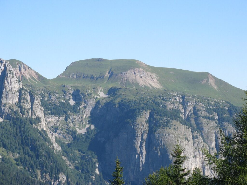
The territory offers extensive hiking networks connecting high-altitude mountain pastures (malghe) to the valley floor, with trails suited to various fitness levels. The Torrente Noce provides protected riverside habitat for nature walks. Cycling routes traverse the lower Val di Non. The dramatic altitudinal range—from 269 to 2,678 metres—enables diverse mountain experiences, from gentle valley paths to challenging alpine trekking near Dolomiti di Brenta.
How long should I plan to spend in Campodenno?
A day visit allows exploration of the restored medieval castle, fifteenth-century frescoed church, and a moderate valley walk. For fuller immersion—combining hiking, village discovery, and local agricultural experiences—allocate two to three days. This timeframe permits leisurely exploration of multiple settlements (Dercolo, Lover, Termon, Quetta, Segonzone), longer trail adventures, and authentic engagement with the apple-growing culture defining Val di Non.
What is the historical significance of Campodenno?
Campodenno's earliest documented history dates to 1276, when a deed recorded a serf's transfer to the bishop of Trento, establishing ecclesiastical connections fundamental to alpine governance. Medieval castle remains and fifteenth-century frescoes testify to the region's strategic importance during feudal periods. The community bridges medieval administrative structures with sustained agricultural tradition, particularly apple cultivation, making it a living museum of Trentino's historical and economic evolution.
📷 Photo Gallery — Campodenno


In Trentino-South Tyrol More villages to discover
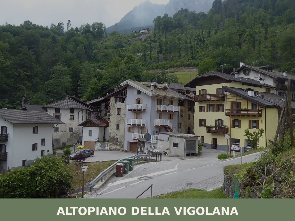
Altopiano della Vigolana
 Mountain
Five thousand inhabitants spread across four frazioni at 725 metres altitude. Roman roads, medieval churches and a 2015 municipal reunification anchor this mountain village in the Upper Valsugana.
Appiano sulla strada del vino
 Hills
Hills
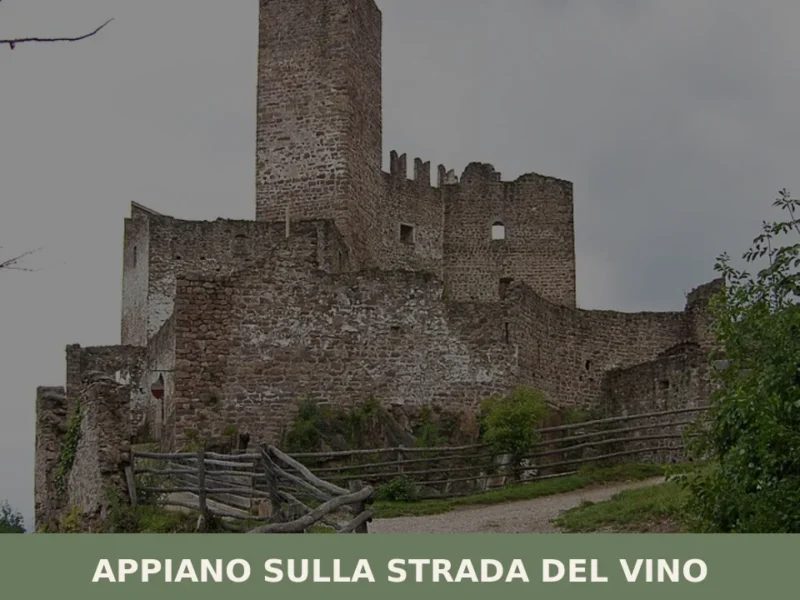
The municipality of Appiano sulla strada del vino has 14,304 inhabitants spread across eight hamlets — San Michele, San Paolo, Cornaiano, Frangarto, Missiano, Monticolo, Gaido and Girlan (Cornaiano) — set between 200 and 500 metres above sea level on the left bank of the Adige river, in the middle of the Bassa Atesina (Lower South […]
Aldino
Mountain
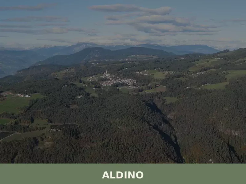
Population 1,607. Aldino sits at 1,225 metres in Bolzano province, where Alpine architecture and seasonal rhythms shape daily life.
Badia
Mountain
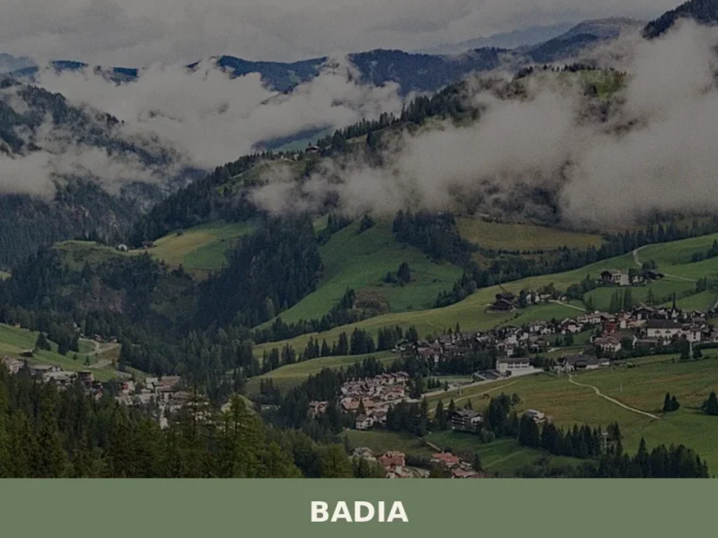
Badia has 3,396 inhabitants spread across six hamlets — San Leonardo, Pedraces, La Villa, San Cassiano, La Val and Antermoia — and occupies a stretch of the Val Badia where Ladin is the mother tongue for over ninety per cent of the population. Understanding what to see in Badia means entering a Dolomite valley where […]

Renon
Mountain
At 1154 m above sea level, Renon offers earth pyramids, medieval castle ruins and a narrow-gauge railway surviving from 1907.
Brennero
Mountain
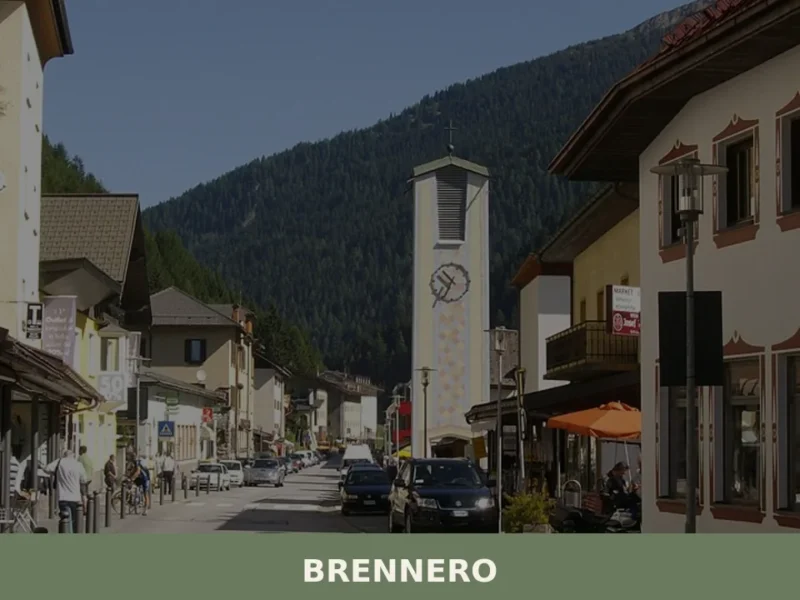
The Brenner Pass, at 1,370 metres above sea level, is the lowest Alpine crossing between Italy and Austria, and this geographical circumstance has shaped every aspect of life in the village that bears its name. With 2,111 inhabitants spread across the hamlets of Brennero, Fleres, Ponticolo and Terme di Brennero, the municipality marks the northern […]
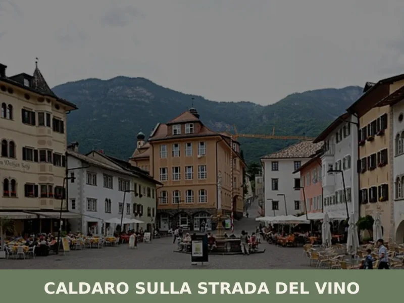
Caldaro sulla strada del vino
Hills
Caldaro sulla strada del vino — Kaltern an der Weinstraße in German — has 7,735 inhabitants and over 600 hectares of vineyards, the largest cultivated wine-growing area in South Tyrol. The place name itself declares the vocation of this centre in the province of Bolzano, which grew along the trade route linking the Bassa Atesina […]
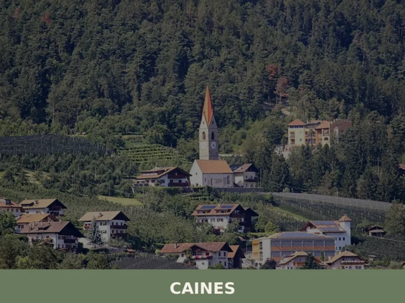
Caines
Hills
With just 398 registered inhabitants and an elevation of 592 metres above sea level, Caines — Kuens in German — is one of the smallest municipalities in the province of Bolzano. It extends across the sun-facing slope of the middle Passiria Valley, a few kilometres from Merano, on a natural terrace overlooking the confluence of […]
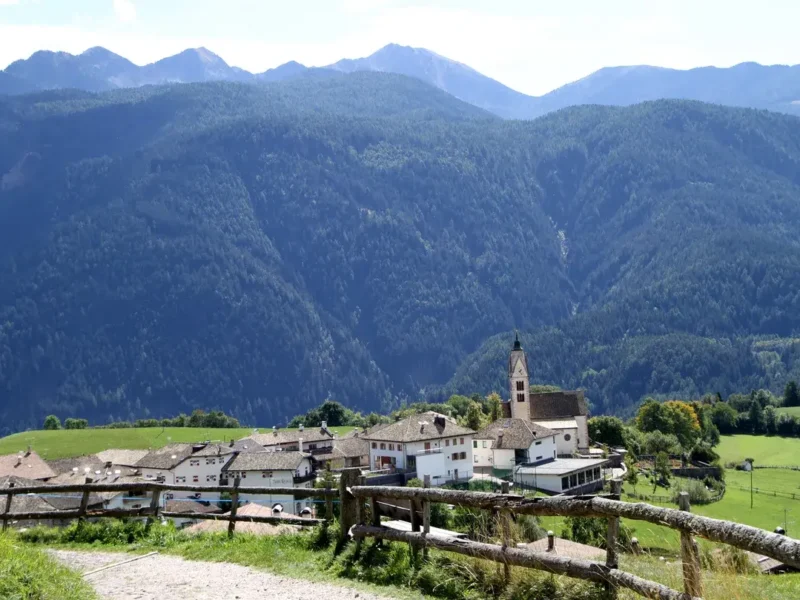
Anterivo
Mountain
In the valleys of Trentino-Alto Adige, at 1209 meters above sea level, lies Anterivo, a small mountain village with just 393 inhabitants. Here, the rhythm of life is dictated by the surrounding nature, with coniferous forests embracing wooden and stone houses, and the crisp air carrying the scent of alpine pastures. In this article History […]
Bronzolo
Hills
Bronzolo has 2,646 inhabitants and sits at 238 metres above sea level, on the right bank of the Adige River, at the point where the Isarco Valley meets the Adige plain. The German name for the town — Branzoll — already appears in medieval documents related to the control of trade routes between the Germanic […]



🏡 Know Campodenno better than we do?
If you’re a local or have been there, your knowledge matters: add what’s missing or fix a detail on this page.