


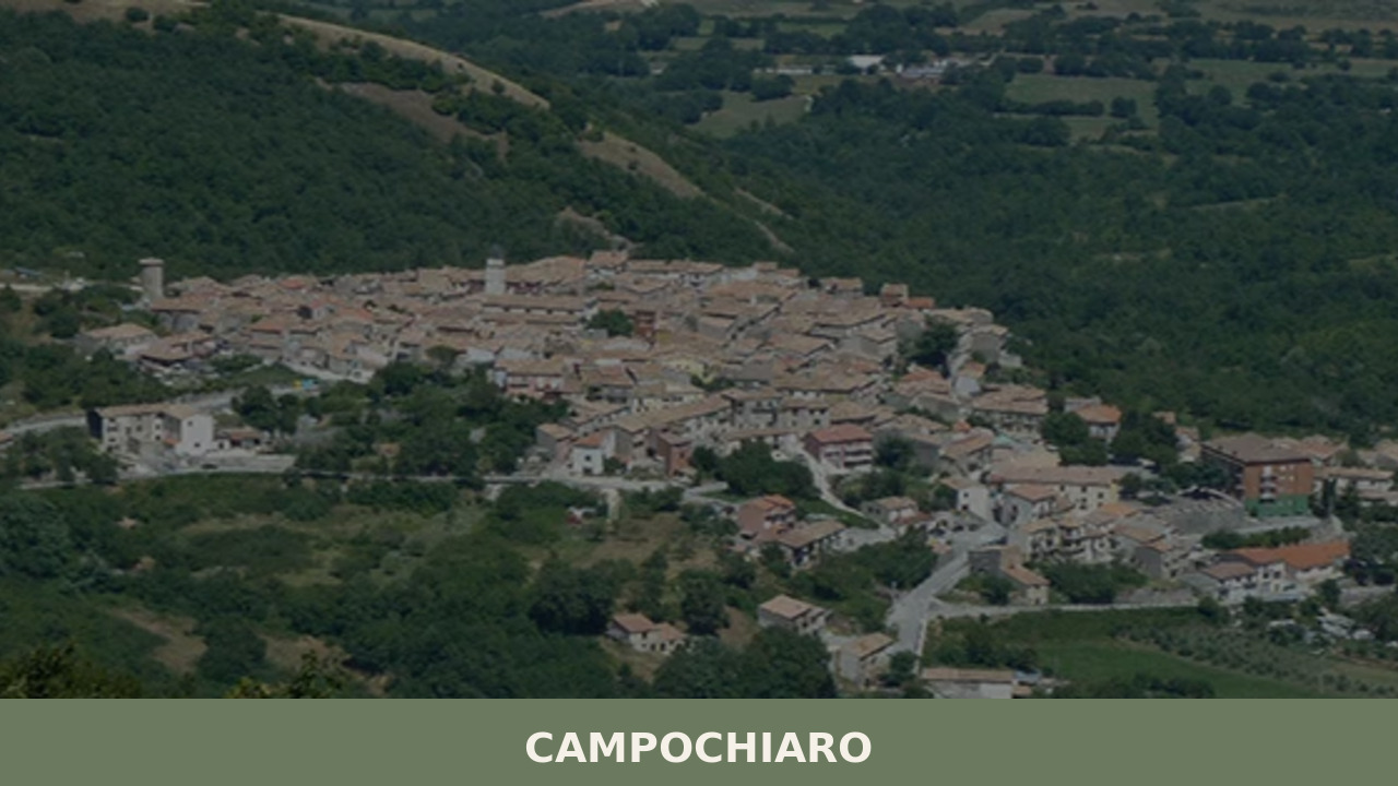
Campochiaro
On the eastern slope of the Matese massif, where highland pastures descend toward the Biferno plain, Campochiaro greets visitors with its 594 inhabitants and a compact urban layout, arranged at 750 metres above sea level around the parish church dedicated to Saint Mark. Here, in 1980, archaeologists unearthed an Italic sanctuary from the Samnite period […]
Discover Campochiaro
On the eastern slope of the Matese massif, where highland pastures descend toward the Biferno plain, Campochiaro greets visitors with its 594 inhabitants and a compact urban layout, arranged at 750 metres above sea level around the parish church dedicated to Saint Mark. Here, in 1980, archaeologists unearthed an Italic sanctuary from the Samnite period that rewrote a chapter of what we know about pre-Roman Molise. Asking what to see in Campochiaro means exploring a territory where layers overlap — from the sacred sites of the Samnites to the tratturi of transhumance, all the way up to the beech forests that cover the highest elevations of the massif.
History and origins of Campochiaro
The place name Campochiaro most likely derives from the Latin campus clarus, an expression meaning an open, bright field, free of tree cover.
The name reflects the morphology of the site: a well-lit plateau extending along the foothills of the Matese, visible from a great distance for anyone travelling up the Biferno valley. The reference to the brightness of the place is consistent with the agricultural and pastoral vocation that defined this settlement’s economy for centuries. In some medieval documents the village also appears in the form Campoclaro, confirming the linguistic continuity from Vulgar Latin to vernacular Italian.
Human presence in the area is documented as far back as the pre-Roman era. Excavations conducted from 1980 onwards at the Campitello site brought to light a Samnite sanctuary dating to between the 4th and 3rd centuries BC, dedicated to a deity associated with fertility and the protection of livestock.
The early medieval necropolis discovered in the same area, dating to the 6th and 7th centuries AD, yielded grave goods with Lombard and Avar cultural elements — including gilded bronze horse trappings — evidence of a multi-ethnic community settled here after the fall of the Western Roman Empire. During the Norman period, Campochiaro became part of the County of Molise and was recorded in the 12th-century Catalogus Baronum as a fief with military obligations to the crown.
In the following centuries, the village shared the fortunes of the feudal South, passing through the hands of various noble families. Under Aragonese rule in the 15th century, the territory experienced a gradual depopulation linked to the insecurity of the countryside and epidemics. A Bourbon census of 1753 recorded just over five hundred inhabitants, a figure that would remain essentially stable until the Unification of Italy.
Twentieth-century emigration, directed first toward the Americas and then toward the industrial triangle of Northern Italy, reduced the population to the current 594 residents. Nevertheless, the community maintains a cohesive social structure, organised around mountain agropastoral activities and the management of state-owned forests on the Matese, which still represent a tangible economic resource for local families.
What to see in Campochiaro: 5 essential attractions
1. Samnite sanctuary of Campitello
The archaeological area of Campitello, situated on the plain a short distance from the village centre, is the most historically significant site in the municipal territory. The excavations, begun in the 1980s by the Archaeological Superintendency of Molise, uncovered the remains of an Italic place of worship dated to between the 4th and 3rd centuries BC. Among the most notable finds are votive bronze statuettes depicting warriors and animals, now housed at the Samnite Museum of Campobasso. The site documents the religious life of the Samnite populations settled along the eastern Matese.
2. Early medieval necropolis
Adjacent to the Samnite sanctuary, the early medieval necropolis of Campochiaro ranks among the most important finds in southern Italian medieval archaeology. Dated to between the 6th and 7th centuries AD, the necropolis comprises around one hundred and fifty burials, some of which contain horses interred alongside the deceased according to a ritual typical of Eurasian nomadic cultures. The grave goods include fibulae, iron weapons and gilded bronze ornaments of Avar and Lombard craftsmanship. The presence of these burials has led scholars to hypothesise that a contingent of horsemen of Central Asian origin settled in the area, integrated into the Lombard society of the Duchy of Benevento.
3. Parish church of San Marco Evangelista
The church of San Marco Evangelista, at the centre of the village, is Campochiaro’s main religious building and the parish seat. The current structure dates to an 18th-century reconstruction over earlier foundations, with a sober façade in local stone and a square-plan bell tower. Inside, a single nave houses a polychrome marble high altar and devotional paintings dating to the 17th and 18th centuries. The church is the focal point of the feast of San Marco, celebrated on 25 April with a procession and rites involving the entire community. Its prominent position overlooking the main square makes it the topographic centre of the settlement.
4. Matese massif: trails and beech forests
The municipal territory of Campochiaro extends across the eastern slopes of the Matese massif, reaching elevations above 2,000 metres. From the resort of Campitello Matese — a winter ski station shared with the municipality of San Massimo — hiking trails lead through dense beech forests and high-altitude meadows, up to the summit of Monte Miletto (2,050 m a.s.l.), the highest point in Molise. The high-altitude landscape is shaped by karst phenomena: dolines, sinkholes and limestone pavements sculpt the calcareous surface. In spring and summer the pastures host flocks of sheep, continuing a practice documented since the Samnite era.
5. Springs of the Biferno
Near the municipal territory lie the springs of the River Biferno, the main watercourse of Molise, which rises from the karst waters of the Matese before crossing the entire region to reach the Adriatic. The spring area offers a cool, humid environment, dominated by riparian vegetation of willows and alders that contrasts with the surrounding pastures. The spot can be reached on foot from the centre of Campochiaro along a dirt road of about three kilometres, walkable in forty-five minutes.
For anyone wondering what to see in Campochiaro, the Biferno springs provide direct contact with the hydrological system that feeds the entire Molise valley floor.
What to eat in Campochiaro: local cuisine and regional products
The cuisine of Campochiaro belongs to the gastronomic tradition of the mountainous Molise interior, where altitude, harsh winters and the availability of pastures have steered the diet toward dishes rich in complex carbohydrates, legumes and sheep meat. Transhumant herding, which for centuries linked the summer pastures of the Matese to the lowlands of Puglia’s Tavoliere along the tratturi, left a deep mark on local eating habits. Dishes are built around a few core ingredients — durum wheat flour, corn, beans, mutton and lamb, hard cheeses — prepared using techniques that favour slow cooking and winter preservation.
Among the most representative dishes of the local table are cavatelli, a fresh pasta made from durum wheat semolina and water, hand-shaped with the pressure of two or three fingers, traditionally served with a mixed-meat ragù or with broccoli and sausage. Polenta, prepared with cornmeal slow-cooked in copper cauldrons and served with pork sauce, remains a common winter dish among farming families in the area. Grilled or oven-roasted lamb with potatoes and aromatic herbs from the Matese — rosemary, wild thyme — is the dish reserved for important occasions, tied in particular to Easter celebrations and the patron saint’s feast day.
Local cheese production is based on the processing of sheep’s and goat’s milk using traditional methods.
Caciocavallo, a stretched-curd cheese produced throughout Molise with cow’s milk, is also made in the Matese area and is aged for variable periods, from a few months to over a year. Molise’s scamorza, also a stretched-curd cheese, is eaten both fresh and smoked over beechwood. As documented in regional gastronomic sources, Molise preserves a cured-meat tradition linked to the winter slaughter of pigs: soppressata, ventricina and dried sausages represent the main protein reserve during the cold months, when fieldwork is reduced to a minimum.
The village’s gastronomic life is liveliest in summer and autumn, when local food festivals and neighbourhood celebrations offer tastings of traditional dishes. During the feast of San Marco on 25 April, families prepare communal meals attended by much of the resident population and the many emigrants who return for the occasion. At nearby Campitello Matese, during the winter ski season, mountain huts and trattorias serve polenta, legume soups and local cheeses. For those wishing to buy local products, the weekly markets in the larger towns of the Province of Campobasso — particularly Bojano, about ten kilometres away — are the most accessible option.
Wine production in the Matese area has historically been limited by altitude and the mountain climate.
However, Molise holds the Molise DOC (or del Molise) designation, which covers red, white and rosé wines produced across the region using grape varieties such as Montepulciano, Aglianico and Trebbiano. In local trattorias you can find full-bodied red wines based on Montepulciano and Tintilia del Molise DOC, the latter an indigenous grape variety recovered in recent decades that yields wines with good structure and deep colour, particularly well suited to accompany meats and aged cheeses.
When to visit Campochiaro: the best time of year
The best period depends on the experience you are looking for. From December to March, the proximity to Campitello Matese makes Campochiaro a base for winter sports: alpine and cross-country skiing on the Matese slopes, snowshoeing through snow-covered beech forests. The patron saint’s feast of San Marco on 25 April coincides with full spring and marks the community’s reawakening after the winter months — a good opportunity to observe the village’s religious and civic rituals up close.
During this period the pastures begin to turn green and daytime temperatures settle around 12–16 degrees, ideal for hiking at mid-range elevations.
Summer, from June to September, is the season when emigrants return and evenings come alive in the piazza, with the effective population doubling or tripling. Temperatures remain mild even in August, rarely exceeding 28 degrees in the village centre and noticeably lower at altitude — a concrete advantage over the coastal plains. For hikers, the best period to climb Monte Miletto is between June and October, when the trails are free of snow. Autumn brings mushroom season and the changing colours of the beech forests, with the Matese slopes shifting from green to yellow and red between late October and the first weeks of November.
How to reach Campochiaro
From Naples (about 110 km), take the A1 motorway to the Caianello exit, then continue on the SS 372 Telesina road toward Telese Terme and from there along the SS 87 Sannitica in the direction of Bojano–Campobasso. From Campobasso, the provincial capital, the distance is about 35 km, drivable in forty minutes along the SS 17 to Bojano and then the provincial road to Campochiaro. From Rome (about 200 km), follow the A1 to San Vittore del Lazio, then the SS 85 toward Venafro and Isernia, and finally the SS 17 to Bojano.
The nearest railway station is Bojano, on the Campobasso–Isernia line operated by Trenitalia, about ten kilometres from the centre of Campochiaro.
Connections from Bojano to the village are provided by regional bus services, although frequencies are limited — having your own car is advisable. The nearest airport is Naples-Capodichino, about 130 km away and reachable in approximately one hour and forty minutes by car. Alternatively, Pescara airport is about 170 km away and provides access from the Adriatic side.
Other villages to discover in Molise
Molise is a region where every valley and ridge holds settlements with distinct histories. To the northeast, toward the Adriatic coast, San Martino in Pensilis is known for the Carrese, the ox-drawn cart race held every year on 30 April: a high-intensity event that draws visitors from across the region and represents one of the most deep-rooted traditions of rural Molise.
From Campochiaro, San Martino in Pensilis is about 80 km to the east, reachable in just over an hour by car via Campobasso and the Biferno valley road.
To the southeast, Acquaviva Collecroce offers an entirely different perspective: it is one of three Molise communities of Croatian linguistic heritage, founded in the 15th century by Slavic settlers fleeing the Ottoman advance in the Balkans. An archaic Croatian dialect, na-naš, is still spoken here, and the urban layout reflects the social organisation of the original community. The distance from Campochiaro is about 75 km, drivable in an hour and a quarter. An itinerary combining the Matese with these two villages allows you to cross Molise from west to east, touching in just a few days the mountains, the inland hills and the pre-Adriatic belt — three landscapes and three different ways of inhabiting the same region.
Frequently asked questions about Campochiaro
Come si raggiunge Campochiaro in auto e qual è il casello autostradale più vicino?
In auto, Campochiaro si raggiunge più comodamente dall'autostrada A1 (Milano-Napoli), uscendo a Caianello e proseguendo verso Bojano sulla SS17 e poi sulla SS87. Da Campobasso, il capoluogo di provincia, distano circa 35 chilometri percorribili in meno di 40 minuti. Bojano, il centro più vicino e punto di riferimento per servizi e mercati, si trova a circa 10 chilometri dal villaggio.
Quando si svolge la festa patronale di Campochiaro e cosa prevede?
La festa patronale di Campochiaro è dedicata a San Marco Evangelista e si celebra il 25 aprile. La ricorrenza include una processione religiosa che coinvolge l'intera comunità e, secondo la tradizione documentata, le famiglie preparano pasti comunitari a cui partecipano anche i numerosi emigrati che tornano al paese per l'occasione. La data coincide con la Festa della Liberazione, rendendo il 25 aprile un giorno di doppia valenza civile e religiosa per il villaggio.
Esistono sentieri CAI o percorsi escursionistici documentati nel territorio di Campochiaro?
Il territorio di Campochiaro rientra nel comprensorio del Matese, area montuosa coperta da una rete di sentieri gestiti dalla sezione CAI di riferimento per il Molise. I percorsi raggiungono la vetta del Monte Miletto (2.050 m s.l.m.), punto più alto della regione, attraversando faggete d'alta quota e praterie carsiche. La stazione sciistica di Campitello Matese, condivisa con il comune di San Massimo, rappresenta il principale punto di accesso alla rete sentieristica del versante orientale del massiccio.
È possibile visitare Campochiaro come gita di un giorno partendo da Campobasso o Napoli?
Sì. Da Campobasso, a circa 35 chilometri, Campochiaro è facilmente raggiungibile in meno di 40 minuti in auto, rendendola una destinazione ideale per una gita giornaliera. Da Napoli la distanza è di circa 180 chilometri, percorribili in circa 2 ore e mezza. La visita al villaggio, all'area archeologica di Campitello e alle sorgenti del Biferno richiede indicativamente una mezza giornata, con la possibilità di abbinare un'escursione sul Matese per una giornata completa.
Getting there
Piazza Madonna Delle Grazie, 86020 Campochiaro (CB)
Nearby Villages near Campochiaro
Nearby villages we are mapping:
- Letino Campania 📍 21.3 km Coming soon
In Molise More villages to discover
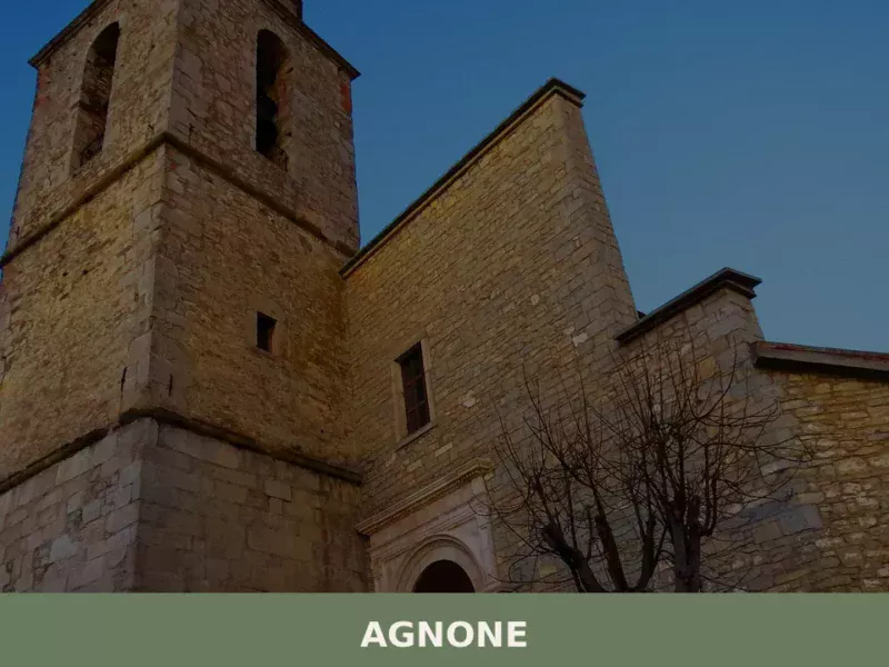
Agnone
Discover what to see in Agnone, Molise: the 1040 Marinelli bell foundry, medieval churches, Samnite museum, local food and practical travel tips.
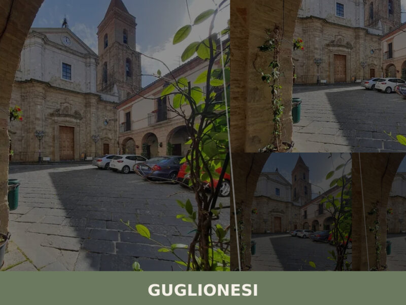
Guglionesi
A hill town of nearly five thousand people in Campobasso province, Guglionesi offers Romanesque churches, Samnite archaeological traces, and wide Adriatic views across the Biferno valley.
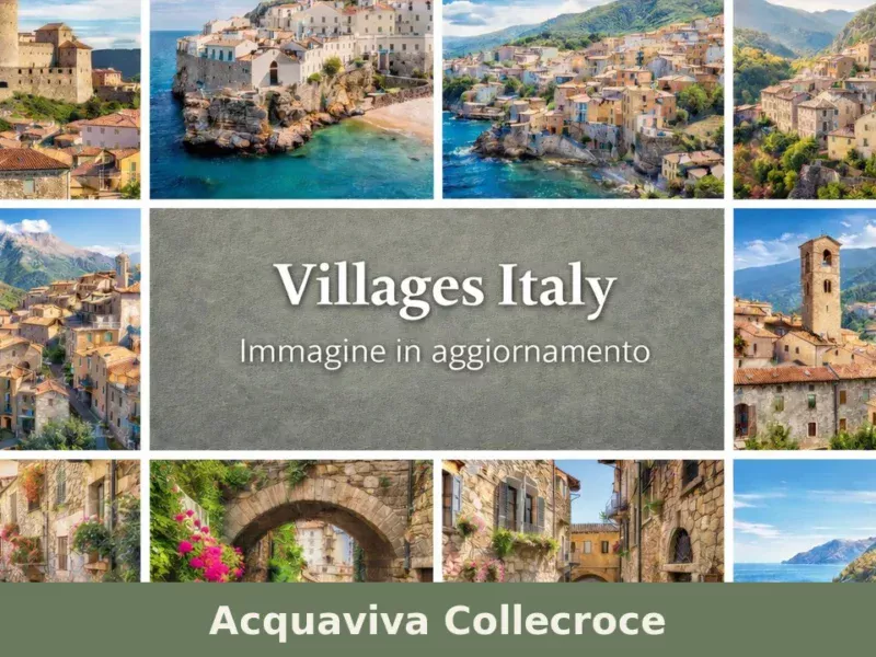
Acquaviva Collecroce
Discover Acquaviva Collecroce, a charming Croatian-speaking village in Molise, Italy. Explore its unique culture, history, traditions, and stunning landscapes.
Santa Croce di Magliano
Morning light falls across a row of stone facades on Corso Vittorio Emanuele, and an elderly man drags a wooden chair onto the pavement, positioning it with the precision of someone who has done this for sixty years. The air at 608 metres carries a dry, herbal sharpness — rosemary and broom from the surrounding […]
Baranello
A documentary guide to Baranello in Molise — its civic museum, medieval churches, castle, and the quiet rhythms of an overlooked Italian hill village.
Cercemaggiore
What to see in Cercemaggiore, Italy? Explore this mountain village at 930m (3,051 ft) altitude. Discover its historic core and panoramic views. Read our guide for your visit.
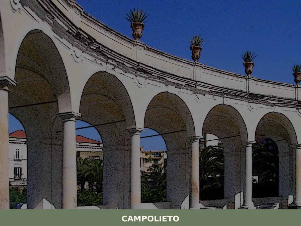
Campolieto
What to see in Campolieto, Italy: 11 km from Campobasso, explore the historic centre, local cuisine and festivals. Discover this Molise village now.
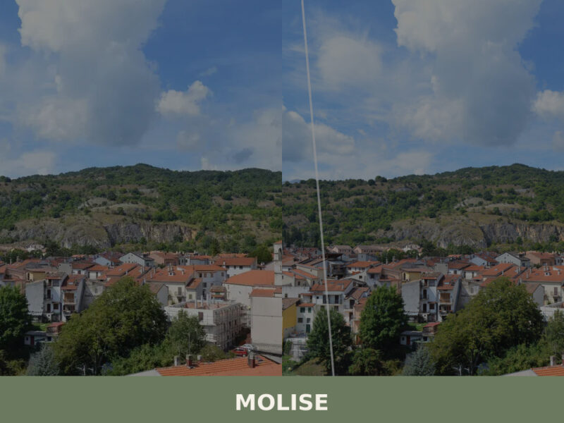
Molise
Molise is Italy's youngest and least-visited region. From Samnite theatres to Adriatic fishing towns, here is what to see in Molise.
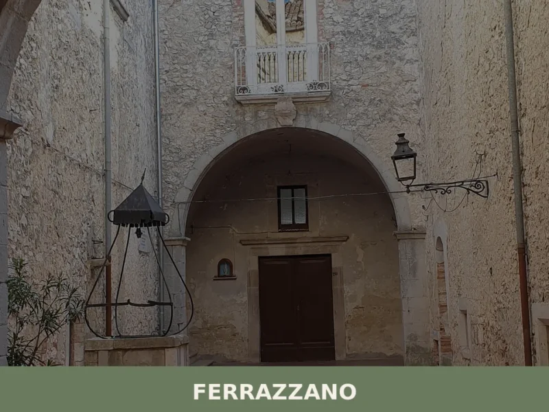
Ferrazzano
Morning light hits the limestone walls of Ferrazzano at an angle that turns every alley into a corridor of pale gold. At 872 metres above sea level, the air carries a sharpness that the lower towns of Molise never know — a clarity that makes the distant Adriatic coast visible on days when the haze […]
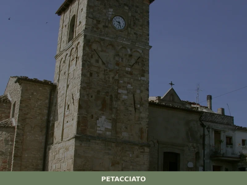
Petacciato
Petacciato overlooks the Adriatic from the hills of Campobasso province. A guide to its historic centre, coastal beach, local food, and Molisan surroundings.


🏡 Know Campochiaro better than we do?
If you’re a local or have been there, your knowledge matters: add what’s missing or fix a detail on this page.