


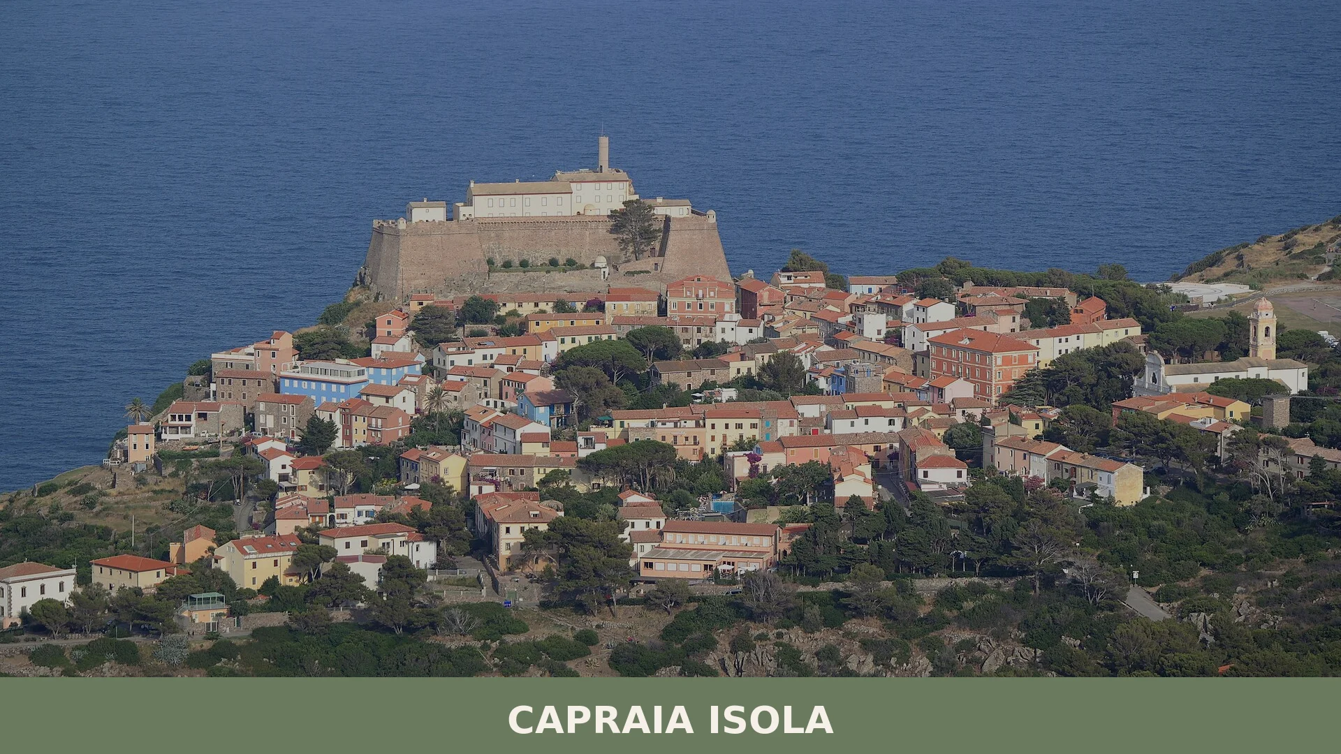

Capraia Isola is a volcanic island municipality of roughly 19 square kilometres in the province of Livorno, Tuscany, with around 358 inhabitants and a documented human presence stretching back to the
Discover Capraia Isola
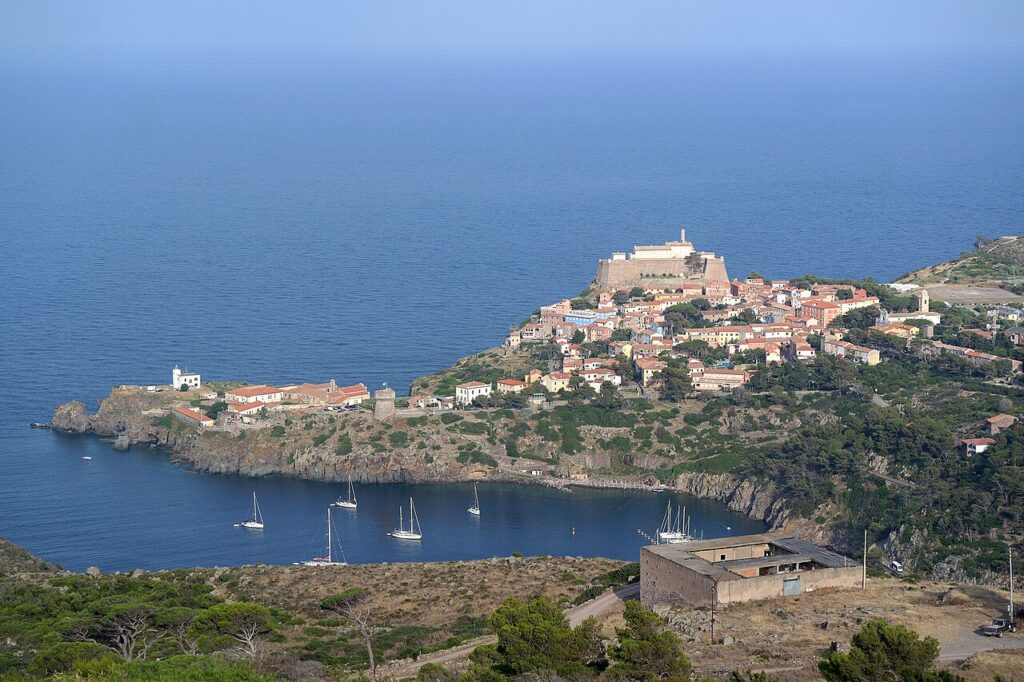
Capraia Isola is a volcanic island of roughly 19.03 square kilometres sitting in the Canal of Corsica, on the boundary between the Ligurian and Tyrrhenian seas, and it forms a municipality of the province of Livorno, Tuscany. With around 358 inhabitants, it is the least populated Italian comune with direct sea access, and it holds the distinction of being the island of the Tuscan Archipelago furthest from the mainland — closer to the eastern coast of Corsica, some 31 km away, than to the Tuscan shore. Monte Castello, at 52 metres, is its highest point, and the coastline, largely high and rocky with few sheltered coves, runs for approximately 30 km around an interior crossed by small torrential valleys.
Human presence on Capraia dates to the Bronze Age, monastic communities took root here as early as the fifth century, and Etruscan, Roman, Pisan, and Genoese rulers each left tangible marks before the island passed to the Kingdom of Sardinia in 1814 and was transferred to the province of Livorno in 1925; today, the Capraia Isola village in Tuscany and roughly two-thirds of the island fall within the Parco Nazionale dell’Arcipelago Toscano, making it one of the most intact natural environments in the entire Mediterranean.
Capraia Isola village in Tuscany: history from antiquity to the modern era
Capraia Isola is a volcanic island in the Tuscan Archipelago with a documented human presence stretching back to the Bronze Age, a monastic community established around the fifth century, and a long succession of rulers — Etruscans, Romans, Pisans, and Genoese — before its annexation to the Kingdom of Sardinia in 1814 and its transfer to the province of Livorno in 1925. A 2017 excavation on Monte Castello uncovered traces of a probable protohistoric settlement (second to first millennium BC), including pottery fragments, weaving bobbins, a small stone grinder, and two fragments of obsidian of likely Neolithic origin. By the seventh century BC the island served as an Etruscan landing base, and around 238 BC the Romans took possession of it, using it as a naval outpost against Carthaginian and Ligurian pirates.
During the fourth century the island offered refuge to Christian anchorites fleeing persecution. Around the fifth century, a community of cenobitic monks settled the fertile inland area known as Il Piano, introducing vines of African origin and, together with the hermit abbot Eudoxius, founding the monastery of Santo Stefano. The historian Paolo Orosius mentions the monks of Capraia as early as 398, and Rutilius Namatianus records their presence in 416. In 594, Pope Gregory I wrote to Venantius, bishop of Luni, requesting that the former priest Saturninus be sent to care for the monasteries of both Capraia and Gorgona. Around 675, a dramatic episode unfolded when two monks of Lérins, Arcadius and Columba, conspired against their abbot Aigulf of Lérins, had him seized with soldiers supplied by the bishop of Uzès, and transported him to Capraia, where Aigulf and his companions were killed. Saracen pirate raids in the ninth century emptied the island for roughly two centuries.
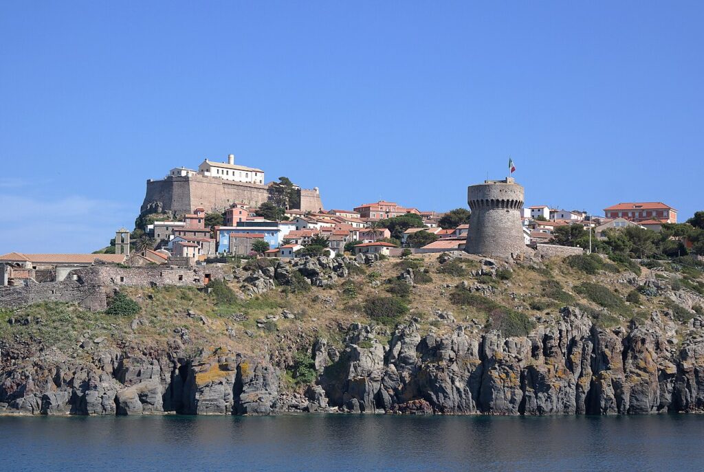
In 962, Emperor Otto I granted Capraia as a fief to Pisa; after the Battle of Meloria it passed to Genoa, which placed it under the lordship of the patrician Jacopo de Mari in 1430. Following destruction caused by the Ottoman corsair Dragut from around 1540, the Genoese constructed the Forte di San Giorgio and a series of watchtowers: the Torre del Porto (1545), the Torre dello Zenobito (1545), and the Torre delle Barbici (1699). The Republic of Genoa formally acquired the island in 1562, linking it administratively to Corsica. It passed briefly to France in 1783, was returned to Genoa in 1787, and came under French governance again from 1805 during the Napoleonic wars. The Congress of Vienna in 1814 transferred it to the Kingdom of Sardinia. A severe landslide in 1854 caused part of the settlement to collapse, and from 1873 to 1986 the island housed an agricultural penal colony. On 15 November 1925, a royal decree formally moved Capraia from the province of Genoa to the province of Livorno; since 1996 a substantial portion of the island has formed part of the Parco Nazionale dell’Arcipelago Toscano.
Towers, a Fortress, and Churches Across a Volcanic Island
Capraia Isola preserves a compact set of historic structures — military towers, a coastal fortress, and several churches — distributed across an island of volcanic origin where Monte Castello reaches 52 metres and the coastline is almost entirely rocky and without beaches.
Forte di San Giorgio
The most prominent defensive structure on the island, the Forte di San Giorgio was built by the Genoese following the raids attributed to the Ottoman corsair Dragut from around 1540. It stands as the main landmark of the fortified part of the settlement.
The Towers
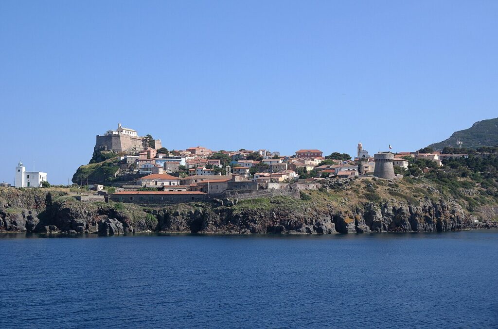
Three watchtowers survive from the Genoese period of administration. The Torre del Porto dates to 1545, the Torre dello Zenobito to 1545, and the Torre delle Barbici to 1699. A further structure, the Torretta del Bagno, is also recorded among the island’s historic military buildings.
Pieve of Santa Maria Assunta
Known locally as the Pieve, this church was substantially rebuilt in 1970. Archaeological investigation around the building has uncovered evidence of a Roman presence on the site, including a marble bust identified as a Venus, the base of a column, a fragment of a marble sarcophagus, and two fish-processing tanks lined with waterproof render. Several burials spanning from the imperial period to the modern era were also found along the church’s eastern flank; one tomb, datable to around the fifth century, contained a set of arms suggesting a high-ranking Frankish or Alemannic soldier.
Church and Monastery of Santo Stefano
The monastery of Santo Stefano was established around the fifth century by a community of cenobitic monks together with the hermit-abbot Eudossio. The church that bore the same dedication collapsed during the second half of the seventeenth century; the pieve at Il Piano, which carries the dedication to Santo Stefano and dates to the twelfth century, appears in records of ecclesiastical tithes from 1298. The site at Il Piano retains its association with the earliest organised Christian community on the island.
Church of Sant’Antonio
The church and convent of Sant’Antonio is listed among the island’s named religious buildings. No further details on its date or fabric are recorded in the available sources.
Church of San Nicola
The church of San Nicola is recorded by name among Capraia’s places of worship. The sources do not provide additional information on its history or appearance.
Faro and Semaforo
The Faro di Capraia (lighthouse) and the Semaforo di Monte Arpagna are both documented features of the island’s navigational and signal infrastructure, consistent with Capraia’s role as the most distant island from the Tuscan mainland in the archipelago.
Cala Rossa and the Natural Landscape
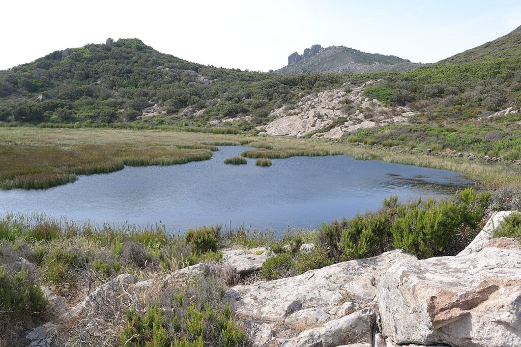
Among the named natural sites, Cala Rossa is notable for preserving a visible cross-section of the island’s volcanic cone, where accumulated lava on the cliffs produces colours ranging from red to black. The Stagnone, a small lake at 52 metres of altitude along the ridge of Monte Castello, lies around six kilometres from the inhabited centre. The Cala della Mortola is the only location where a small sandy beach occasionally forms along an otherwise consistently rocky shoreline.
Capraia Isola and Its Territory: What to Eat and Drink
Capraia Isola has no certified DOP or IGP products of its own, but its provincial and regional context brings several recognised specialities to the table: the area around Livorno falls within the territory of Elba DOC wines and the celebrated Bolgheri DOC, while wines from the Val di Cornia zone, such as Suvereto DOCG and Rosso della Val di Cornia DOCG, are also available in the region. The Elba Aleatico Passito DOCG, a rich sweet red made from sun-dried Aleatico grapes, is the most distinctive wine of the archipelago.
On the food side, the province of Livorno and the wider Tuscan region contribute a number of IGP and DOP staples worth seeking out. Pane Toscano DOP, the unsalted Tuscan bread baked according to traditional methods, pairs naturally with Finocchiona IGP, the fennel-seed salami long associated with central Tuscany, and with Cinta Senese DOP charcuterie from the heritage pig breed of the Sienese hills. Cantuccini Toscani IGP, the twice-baked almond biscuits, round off a meal in the regional tradition.
A detail that belongs to Capraia’s own history: the early cenobitic monks who settled the island in the fifth century are credited in local tradition with introducing grapevine varieties of African origin, suggesting that viticulture on this remote volcanic outcrop has deep, if hard to document, roots.
Planning your visit and getting there
Capraia Isola can be reached easily from the lower Val Pellice and the Turin area. The practical distances and journey times below are kept concise on purpose, so the access information stays clear and consistent.
| Departure | Distance | Time |
|---|---|---|
| Livorno (porto) | 64 km via marand | approx. 2 h 30 min (traghandtto) |
| Promontorio di Piombino | 53 km via marand | approx. 2 h (traghandtto) |
| Gorgona | 37 km via marand | approx. 1 h 30 min (traghandtto) |
| Costa orientale della Corsica | 31 km via marand | approx. 1 h (traghandtto) |
These practical reference points are enough to plan the journey without overloading the text with unstable logistics. Once on site, the village is best understood slowly, on foot and in relation to the surrounding landscape.
Frequently asked questions about Capraia Isola
How do I get to Capraia Isola from mainland Tuscany?
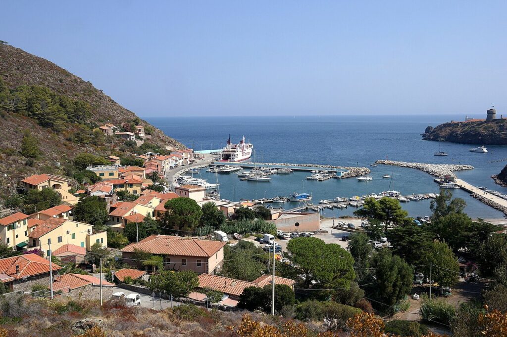
Capraia Isola is accessible only by sea. Ferry services operate from Livorno, the nearest mainland port, located approximately 60 km away. The journey takes roughly 2.5 to 3 hours depending on sea conditions. Ferries run year-round with increased frequency during summer months. To reach Livorno by car, use the A12 motorway (exit Livorno). The nearest railway station is Livorno Centrale. Book ferries in advance, especially during peak season.
What is the best time to visit Capraia Isola?
Summer (June–September) offers warm weather and calm seas ideal for swimming and water activities, though expect more tourists. Spring (April–May) and autumn (September–October) provide pleasant conditions with fewer crowds. The patron saint feast of San Nicola di Bari occurs on December 6th, featuring local celebrations. Winter brings rougher seas and occasional ferry cancellations. For hiking and exploring natural landscapes, spring and early autumn are optimal.
Are there hiking trails on Capraia Isola?
Yes, Capraia Isola offers several walking routes across its volcanic terrain. Trails lead to Monte Castello (447 metres), the island's highest peak, providing panoramic views of the Tuscan Archipelago and Corsica. The coastline features scenic rocky paths and sheltered coves. Approximately two-thirds of the island lies within the Parco Nazionale dell'Arcipelago Toscano, a protected area preserving intact Mediterranean ecosystems. Visitors should bring adequate water and sun protection.
How long should I plan to spend on Capraia Isola?
A day trip allows time for beach swimming, village exploration, and basic sightseeing. For a deeper experience, 2–3 days permit thorough hiking, coastal walks, and visits to historical sites like towers and churches. Overnight stays enable dawn excursions and sunset viewing. The small population (358 residents) and compact size mean attractions are accessible without extensive travel. Many visitors combine Capraia with other Tuscan Archipelago islands using multi-day ferry passes.
What historical sites can I visit on Capraia Isola?
Capraia Isola features towers and fortifications reflecting centuries of rule by Etruscan, Roman, Pisan, and Genoese powers. Historic churches dot the island, with the patron church dedicated to San Nicola di Bari. Archaeological evidence dates human presence to the Bronze Age, with monastic communities established by the fifth century. A fortress structure remains visible. The island transitioned to Sardinian control in 1814 and joined Livorno province in 1925. Guided historical tours are available seasonally.
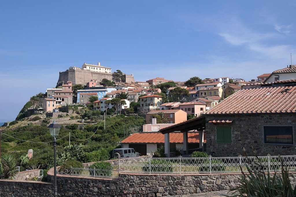
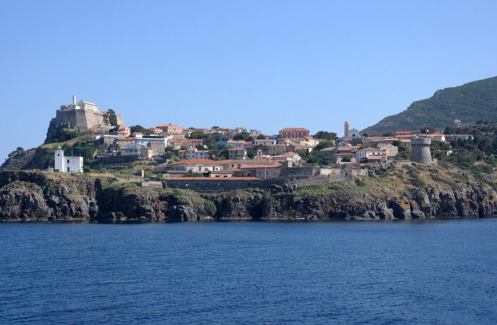
📷 Photo Gallery — Capraia Isola
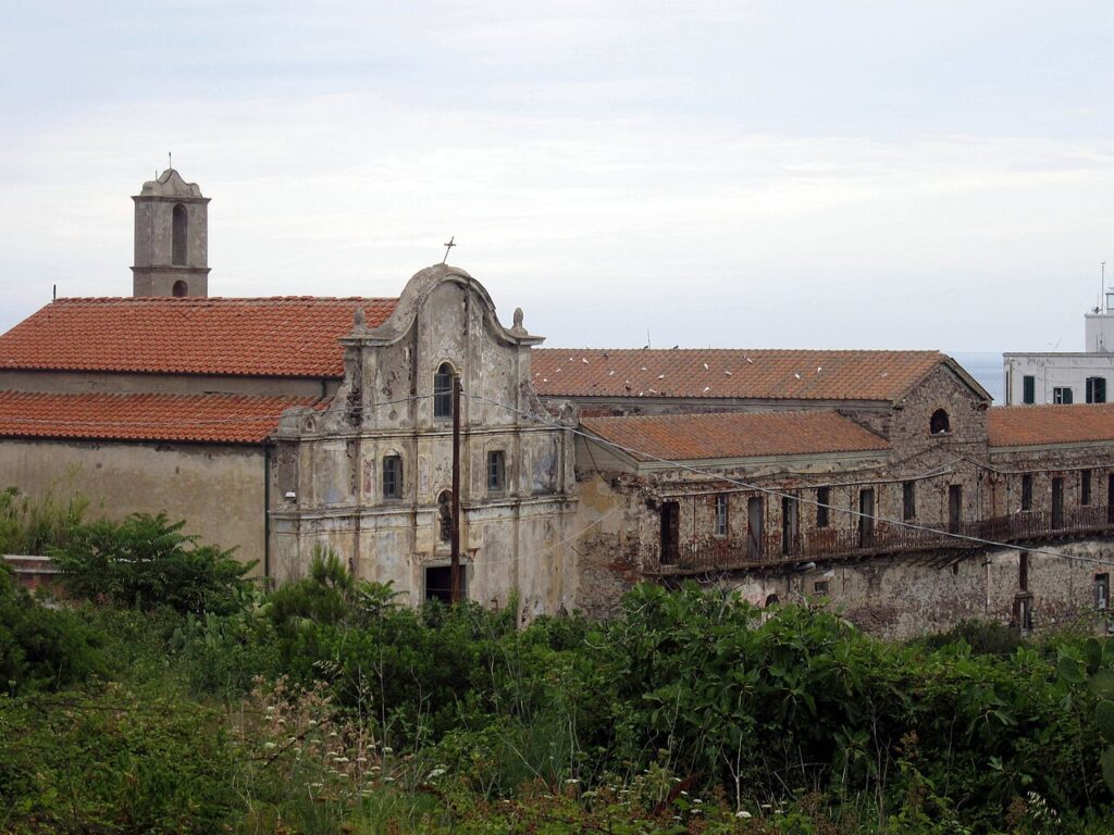
In Tuscany More villages to discover
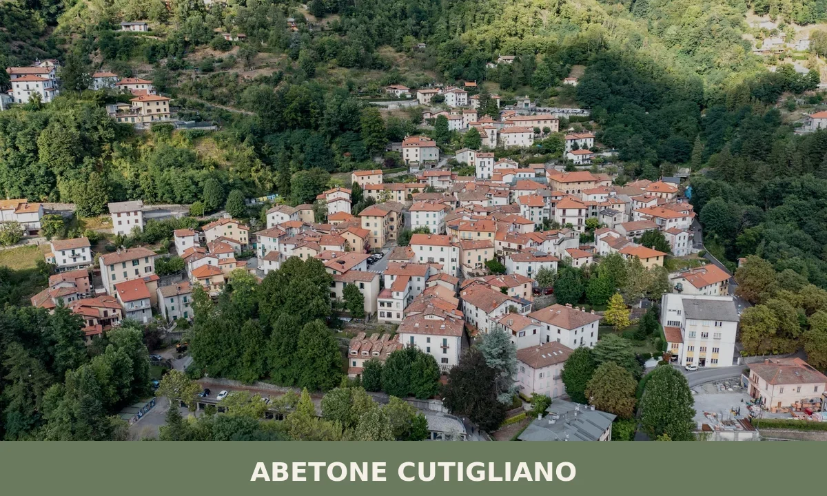
Abetone Cutigliano
 Mountain
A 1,829-resident mountain comune in Pistoia province, Abetone Cutigliano unites two separate communities through alpine churches, natural reserves and access to the Apennine ridge.
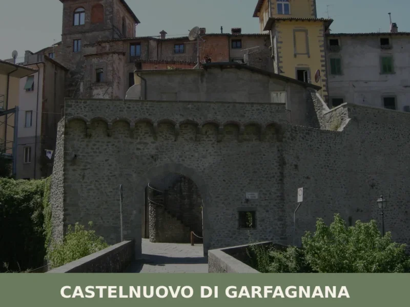
Castelnuovo di Garfagnana
 Hills
Hills
Castelnuovo di Garfagnana is a historic mountain town of 5,653 residents in the province of Lucca, Toscana, and the long-established administrative capital of the Garfagnana valley.
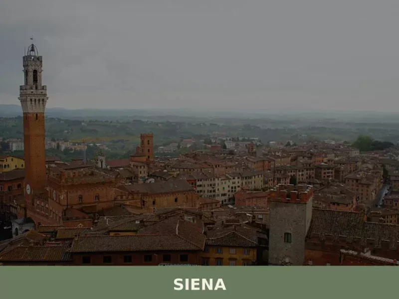
Siena
Hills
What to see in Siena: UNESCO centre at 322 m, population 52,883. Explore Piazza del Campo, the Cathedral, the Palio, and local foods like panforte and pici. Plan your visit.
Careggine
Mountain
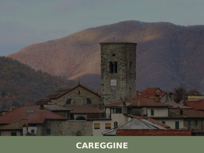
Morning fog lifts from the Apuan Alps in slow, pale sheets, revealing a scatter of stone houses along a ridgeline above the Garfagnana valley. A church bell marks seven o’clock — the sound carries far in this thin, mountain air, reaching nobody in particular. With only 585 inhabitants, Careggine keeps its own unhurried tempo. Understanding […]
Zeri
Mountain
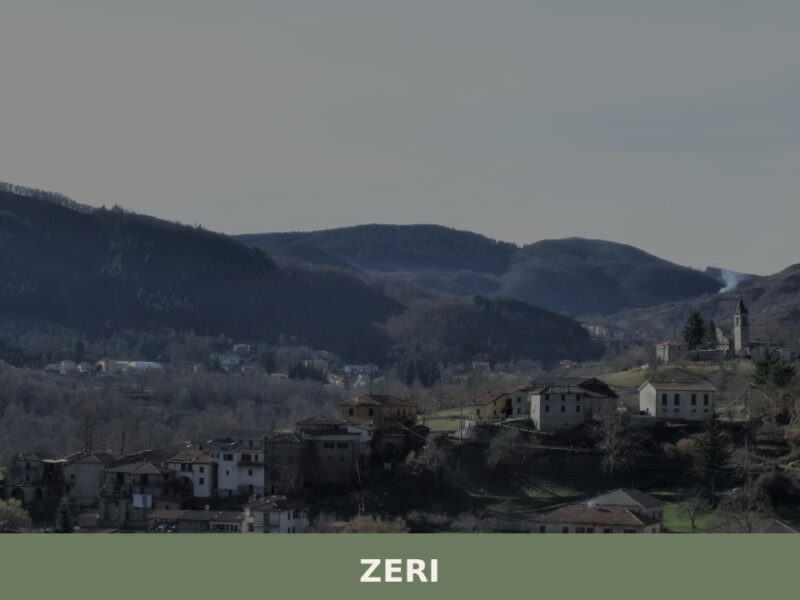
Morning mist lifts slowly from the Lunigiana valley floor, revealing a scattering of stone hamlets across green ridgelines that roll toward the Ligurian border. The air carries wood smoke and the distant sound of cowbells — the famed Zerasca breed still grazes these highlands. Zeri, a municipality of 1,166 inhabitants in the province of Massa […]
Castiglione di Garfagnana
Hills
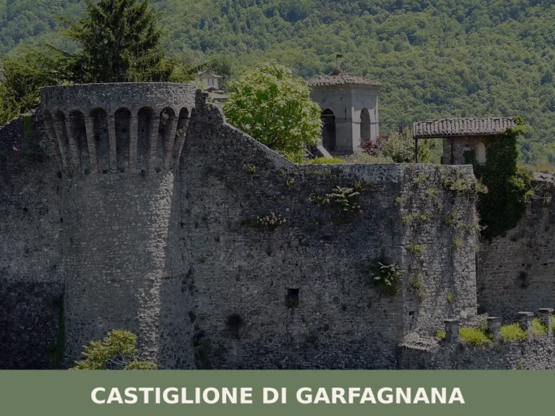
Castiglione di Garfagnana is a fortified mountain comune at 533 metres in the Lucca province of Tuscany, known for its medieval Rocca, ancient walls and Apennine cultural heritage.
Aulla
 Plains
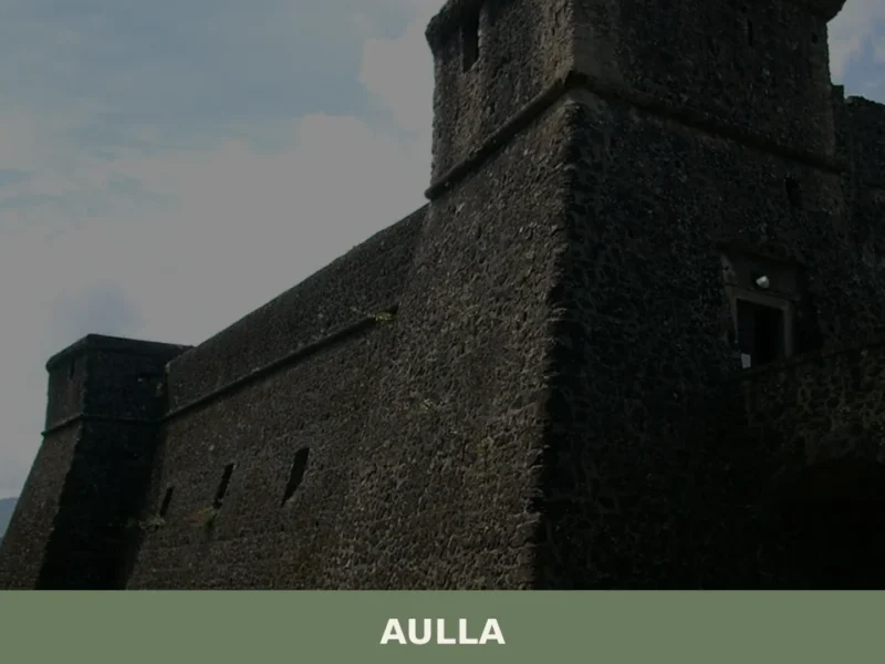
In 884 AD, Marquis Adalbert of Tuscany founded an abbey dedicated to Saint Caprasius at the confluence of the Magra and Aulella rivers, transforming a modest valley-floor settlement into an obligatory stopping point on the Via Francigena. Today, anyone wondering what to see in Aulla will find a lowland town at 64 metres above sea […]
Montignoso
 Sea
Sea
Montignoso is a coastal Tuscan municipality of around 10,000 people in the province of Massa-Carrara, known for its Lombard-era Castello Aghinolfi, its Gothic Line documentation centre, and its positi
Lucca
Plains
Discover Lucca, Tuscany's enchanting walled village in Italy. Explore medieval streets, stunning architecture, and rich culture in this timeless Italian treasure.
Bagnone
Hills
Morning mist lifts off the Bagnone creek and thins against stone walls that have stood since the eleventh century. The sound of water — always water — fills the narrow lanes, running beneath bridges and alongside houses built directly into the rock. With fewer than two thousand residents, this small settlement in the Massa e […]


🏡 Know Capraia Isola better than we do?
If you’re a local or have been there, your knowledge matters: add what’s missing or fix a detail on this page.