


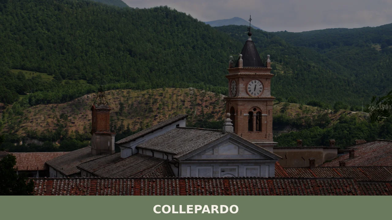
Collepardo
The karst stone beneath the Monti Ernici does not announce itself gradually. It opens without warning into vertical drops and hollow chambers, some sealed by centuries of slow dissolution, others wide enough to swallow the sound of a person speaking. In this article History of Collepardo What to see in Collepardo, Lazio: top attractions Local […]
Discover Collepardo
The karst stone beneath the Monti Ernici does not announce itself gradually. It opens without warning into vertical drops and hollow chambers, some sealed by centuries of slow dissolution, others wide enough to swallow the sound of a person speaking.
At 586 m (1,923 ft) above sea level, the terrain around this municipality in the Province of Frosinone is shaped by the same limestone geology that produced the polygonal walls still visible at the settlement’s edge — walls that predate the Roman roads crossing the valley below.
Knowing what to see in Collepardo requires understanding the layered nature of the place: ancient defensive walls, a Carthusian monastery classified as a national monument, cave systems open to visitors, a documented botanical garden, and a geological sinkhole of regional significance.
The village, with a population of 975 inhabitants, sits about 70 km (43 mi) east of Rome and about 15 km (9 mi) north of Frosinone.
Visitors to Collepardo find a compact territory where geology, medieval history, and karst landscape intersect within a short radius of each other.
History of Collepardo
The oldest physical evidence of human settlement in the Collepardo area is a series of polygonal walls built from large, uncut limestone blocks fitted tightly without mortar.
These structures, sometimes called mura pelasgiche (Pelasgic Walls, a term used historically to describe pre-Roman polygonal masonry of uncertain origin), indicate organised habitation long before the medieval period.
Their construction technique, based on interlocking irregular stones, required coordinated labour and implies a permanent community with defensive concerns — not a seasonal or nomadic presence.
The current settlement took form during the 6th century CE, during the reign of Theodoric the Great, the Ostrogothic king who governed Italy from 493 to 526.
This dating places the foundation of Collepardo in a period of considerable transition across the Italian peninsula, following the collapse of the western Roman administrative structure and before the full consolidation of Byzantine control over Lazio. The village therefore emerged within a political and demographic reorganisation that reshaped hundreds of small settlements across the Apennine foothills.
In the post-medieval period, Collepardo came under the control of the Colonna family following the papacy of Martin V, who held the pontificate from 1417 to 1431.
Martin V, born Oddone Colonna, was elected in 1417 and his reign marked the end of the Western Schism. The Colonna family’s dominion over Collepardo is recorded from 1422.
The family held broad feudal authority across a large portion of Lazio, and their influence over smaller municipalities like Collepardo — including neighbouring territories in the Ernici hills — reflected their position as one of the most powerful baronial dynasties in the papal state.
This feudal history shaped the administrative and ecclesiastical structure of the village through the early modern period.
What to see in Collepardo, Lazio: top attractions
Collepardo Caves
The cave system known as the Collepardo Caves is a group of karst formations created by millennia of water erosion through the limestone substrate of the Monti Ernici.
The interior chambers display the typical features of karst geology: stalactites descending from vaulted ceilings, stalagmites rising from the floor, and columns formed where the two have merged over thousands of years.
Visitors descend into the cave complex along a guided route that reveals how water movement shaped this underground landscape at a timescale measured in geological rather than human terms. The caves are accessible from the village centre and represent the most direct encounter with the limestone geology that defines the territory of Collepardo, Lazio, Italy.
Pozzo d’Antullo
The Pozzo d’Antullo is a sinkhole located in the Monti Ernici, formed by the collapse of a cave ceiling over an existing underground void — a process called doline in geological terminology, referring to a closed depression in karst terrain.
The structure is one of the most significant examples of karst collapse morphology in the Lazio region.
The sinkhole’s vertical walls drop sharply from ground level, and the floor supports vegetation that differs noticeably from the surrounding hilltop environment, a result of the microclimate created by the enclosure. Visitors approach along a footpath from the road, and the recommended season for the walk is late spring, when the internal vegetation is at its most visible against the pale limestone walls.
Certosa di Trisulti
The Certosa di Trisulti is a Carthusian monastery classified as a national monument of Italy.
The complex stands within the woodland of the Monti Ernici at an elevation that places it above the valley floor, surrounded by beech and fir forest. The monastery includes a pharmacy, a library, a church, and a series of cloisters constructed and modified across several centuries of Carthusian occupation.
Its status as a national monument reflects the architectural and historical integrity of the complex as a whole, rather than a single building. The Certosa di Trisulti is reachable by road from Collepardo and represents the most formally significant historical structure associated with the municipality.
Giardino Botanico di Collepardo
The Giardino Botanico di Collepardo is a botanical garden established within the municipal territory.
Botanical gardens of this scale in Apennine municipalities typically document native flora of the surrounding mountain environment, organising plants according to ecological zone or taxonomic category for both educational and conservation purposes. The garden provides a structured context for observing the plant species native to the Monti Ernici, including varieties adapted to the limestone-rich soil of the area.
For visitors spending a full day in the area, the garden complements the geological sites with a focused look at surface vegetation — the biological layer that responds to the same karst substrate visible in the caves and the sinkhole.
Pelasgic Walls
The polygonal walls visible at the margins of the Collepardo settlement are among the most physically immediate historical elements in the municipality.
Built from large limestone blocks placed without mortar, the walls use the weight and interlocking geometry of the stones to maintain structural cohesion — a technique found at several pre-Roman sites across the central Apennines and the Lazio hills.
Their association with ancient settlement patterns in the area predates the 6th-century foundation of the current village. Standing at the wall sections still in place, it is possible to examine the individual stone courses and estimate the scale of the original structure.
This is one of the few locations in the Province of Frosinone where this type of construction remains visible at ground level without excavation.
Local food and typical products of Collepardo
The food culture of the Monti Ernici territory, within which Collepardo sits, reflects the agricultural patterns of the central Apennine foothills: small-scale livestock farming, cereal cultivation on terraced hillsides, and the use of foraged ingredients from the surrounding woodland. The proximity to the Certosa di Trisulti also introduced a monastic culinary tradition into the local territory, as Carthusian communities historically produced preserved foods, herbal preparations, and liqueurs from the plant species growing within and around the monastery grounds.
These two lines — rural peasant cooking and monastic preparation — run through the food identity of the area.
Traditional dishes in this part of the Province of Frosinone draw on ingredients that have long been available at altitude: dried legumes, cured pork, foraged mushrooms from the beech forests, and hard cheeses aged for extended periods.
Pasta e fagioli, a slow-cooked soup of dried beans and short pasta, is a foundational preparation in the domestic kitchens of hill municipalities like Collepardo.
Polenta with pork-based sauces was a winter staple, providing caloric density for agricultural workers. Frittelle di ricotta, fried ricotta fritters dusted with sugar, appear at seasonal celebrations and represent the use of fresh dairy from local sheep and goat flocks.
None of these dishes requires exotic ingredients: they are built on storage-stable produce that could be produced and consumed within the same valley.
The Monti Ernici woodland provides porcini mushrooms in autumn, and foraging remains a documented practice among local residents.
Chestnuts from the hillside groves were historically dried and ground into flour used in preparations similar to those still made across the broader Apennine zone.
Pecorino-style cheeses produced from sheep’s milk in the broader Frosinone province carry recognised local characteristics, though no specific certified designation is recorded in the sources consulted for Collepardo’s immediate municipal territory.
Local agricultural markets in the Frosinone province operate on a seasonal calendar, with autumn activity centred on the mushroom and chestnut harvest.
Visitors planning a food-focused trip to the area are best served by timing their arrival between October and early November, when foraged produce from the Monti Ernici appears at local markets and in restaurant preparations.
Festivals, events and traditions of Collepardo
The central religious event in Collepardo’s annual calendar is the feast of the Santissimo Salvatore (Most Holy Saviour), the village’s patron, celebrated on 6 August.
This date falls within the liturgical calendar as the Feast of the Transfiguration of Christ, and the civic and religious observances in Collepardo follow the pattern typical of patron saint festivals in small Lazio municipalities: a solemn Mass, a procession through the village carrying the image or statue of the patron, and communal gathering in the main public spaces.
Evening celebrations often include music and, in many hill villages of the Province of Frosinone, fireworks that are visible across the surrounding valleys.
The August timing of the feast day places it within the period of maximum summer attendance in Italian hill municipalities, when residents who have moved to urban centres return to their home villages for the summer holidays.
This convergence of the liturgical calendar and the seasonal return of the diaspora gives the 6 August celebrations a social weight that extends beyond the strictly religious.
For visitors already in the area during late July or early August, the feast day provides direct access to a communal event organised around the village’s specific religious identity rather than general tourism programming.
When to visit Collepardo, Italy and how to get there
The most practical periods for visiting Collepardo, Lazio, Italy are late spring (May to June) and early autumn (September to October). In May and June, the vegetation on the Monti Ernici is at full growth, the footpath to the Pozzo d’Antullo sinkhole is dry and clearly defined, and temperatures at 586 m (1,923 ft) remain moderate — typically between 15°C and 22°C (59°F and 72°F) during the day.
Autumn offers the added interest of the mushroom and chestnut season and lower visitor numbers than August.
Summer, particularly around 6 August for the patron saint feast, brings higher activity but also the warmest temperatures and the largest crowds the village receives in any given year. Winter access is possible but the road conditions on the Monti Ernici can be affected by snowfall from December through February.
Collepardo sits approximately 70 km (43 mi) east of Rome, making it a realistic day trip from the capital by car.
The most direct road connection from Rome follows the A1 motorway south toward Frosinone, with exit at Frosinone, followed by the SS214 and local provincial roads northward toward Collepardo — a total drive of roughly 75 km (47 mi) from central Rome, taking approximately one hour to one hour and fifteen minutes depending on traffic on the A1.
The nearest railway station is in Frosinone, served by Trenitalia regional connections from Rome Termini; from Frosinone station, the remaining 15 km (9 mi) to Collepardo requires a car or local bus.
The nearest major international airport is Rome Fiumicino (Leonardo da Vinci), located approximately 110 km (68 mi) from Collepardo. International visitors arriving at Fiumicino should plan for a journey of approximately one hour and thirty minutes to two hours by car, depending on Rome traffic.
English is not widely spoken in smaller local shops and services; carrying cash in euros is practical, as card payment infrastructure in villages of this size is not universal.
Visitors with an interest in what to see in Collepardo who are also exploring the broader northern Lazio region may consider combining the visit with a stop at Viterbo, the medieval city in northern Lazio known for its intact papal quarter, which lies approximately 130 km (81 mi) northwest of Collepardo and offers a contrasting urban reference point for the same regional journey.
Those approaching from the upper Lazio Apennines might also pass through Borbona, a hill municipality in the Rieti province that shares the same Apennine geographic context, before descending toward the Frosinone plain and Collepardo.
The official municipal website of Collepardo provides updated information on local services, seasonal road conditions, and any temporary closures of the cave systems or the botanical garden.
Frequently asked questions about Collepardo
What is the best time to visit Collepardo?
Late spring (May–June) is ideal for walking to the Pozzo d'Antullo, when internal vegetation is at peak visibility against the limestone walls. October to early November suits food-focused visitors, as porcini mushrooms and chestnuts from the Monti Ernici appear at local markets and in restaurant menus. The patron saint feast of the Santissimo Salvatore falls on 6 August, coinciding with the liturgical Feast of the Transfiguration, and brings a solemn procession and communal celebrations through the village. Summer also offers comfortable temperatures at 586 m altitude compared to the Roman lowlands.
What are the historical origins of Collepardo?
The oldest evidence of settlement consists of polygonal limestone walls — known as mura pelasgiche — built without mortar using interlocking irregular blocks, predating the Roman period. The current village took shape in the 6th century CE during the reign of Ostrogothic king Theodoric the Great. After the Western Schism ended, the Colonna family assumed feudal control of Collepardo in 1422, during the pontificate of Martin V (born Oddone Colonna), holding authority over the village through the early modern period as one of Lazio's dominant baronial dynasties.
What to see in Collepardo? Main monuments and landmarks
The key sites within a short radius include: the Collepardo Caves, a guided karst cave system with stalactites and stalagmites accessible from the village centre; the Certosa di Trisulti, a Carthusian monastery classified as a national monument of Italy, reachable by road and featuring a pharmacy, library, church, and cloisters; the Pozzo d'Antullo, a dramatic karst sinkhole in the Monti Ernici; the Giardino Botanico di Collepardo botanical garden; and the pre-Roman Pelasgic Walls still visible at the settlement's edge. Verify current opening hours and admission fees directly with local operators before visiting.
What are the main natural or scenic attractions of Collepardo?
The Monti Ernici limestone landscape defines Collepardo's natural character. The Pozzo d'Antullo is one of the most significant karst collapse sinkholes in Lazio — a deep, vertical-walled doline with a distinct internal microclimate and vegetation visible from a footpath approach. The Collepardo Caves offer a direct encounter with karst geology underground. The Certosa di Trisulti sits within beech and fir forest at elevation, providing a woodland setting alongside its architectural interest. The Giardino Botanico documents native Apennine flora adapted to the area's limestone-rich soil.
Where to take the best photos in Collepardo?
The Pozzo d'Antullo offers the most striking visual contrast in the area: vertical pale limestone walls dropping sharply into a vegetated floor, best photographed in late spring when internal greenery is dense. The Certosa di Trisulti, framed by beech and fir forest, provides classic monastery-in-woodland compositions. The Pelasgic Walls at the village edge give close-up detail shots of pre-Roman polygonal stonework. Inside the Collepardo Caves, the stalactite and stalagmite formations create dramatic geological subjects under guided-tour lighting conditions.
Are there museums, churches or historic buildings to visit in Collepardo?
The Certosa di Trisulti is the most formally significant historic complex associated with Collepardo and carries national monument status. The monastery includes a historic pharmacy, a library, a church, and multiple cloisters developed over centuries of Carthusian use. The Pelasgic Walls within the village represent visible pre-Roman architectural heritage. For current visiting hours, admission costs, and any seasonal restrictions at the Certosa di Trisulti, check directly with the site administrators, as management arrangements for the monastery have been subject to change in recent years.
What can you do in Collepardo? Activities and experiences
Visitors can take guided tours of the Collepardo Caves, walk the footpath to the Pozzo d'Antullo sinkhole (best in late spring), and visit the Certosa di Trisulti monastery complex within its beech-fir woodland. The Giardino Botanico offers a structured walk through native Monti Ernici flora. In autumn, the area's mushroom and chestnut harvest season makes foraging culture and local markets an additional draw. The 6 August patron saint feast of the Santissimo Salvatore includes a religious procession and communal evening celebrations in the village.
Who is Collepardo suitable for?
Collepardo suits nature-oriented travellers and geology enthusiasts drawn to karst landscapes — the caves and the Pozzo d'Antullo sinkhole are genuinely distinctive. Hikers and walkers benefit from the Monti Ernici setting and footpath access to key sites. History-focused visitors will find pre-Roman polygonal walls and a nationally classified Carthusian monastery within a compact territory. The village is also suitable for couples and slow-travel visitors seeking a quiet hill destination 70 km from Rome with authentic food culture. Families with older children can engage with the cave tour and botanical garden.
What to eat in Collepardo? Local products and specialties
The food culture of the Monti Ernici foothills centres on storage-stable, altitude-appropriate ingredients. Documented local dishes include pasta e fagioli (slow-cooked bean and pasta soup), polenta with pork-based sauces (a traditional winter preparation), and frittelle di ricotta (fried ricotta fritters with sugar, served at seasonal celebrations). Porcini mushrooms foraged from the beech forests appear in autumn menus. Chestnuts from hillside groves were historically dried and ground into flour. Pecorino-style sheep's milk cheeses from the broader Frosinone province are part of the local dairy tradition.
Nearby Villages near Collepardo

In Lazio More villages to discover
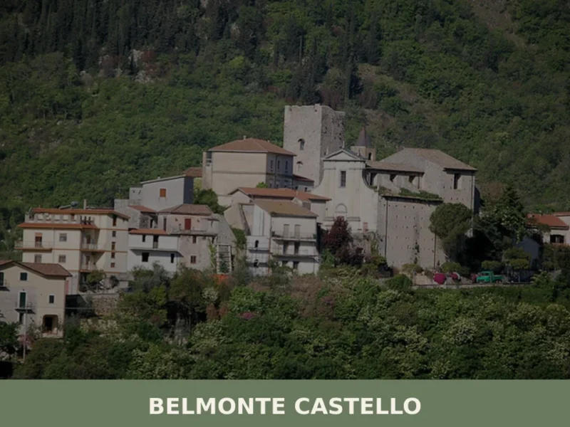
Belmonte Castello
What to see in Belmonte Castello: discover the 5 main attractions of this Lazio village, from the medieval castle to the Church of San Salvatore. Plan your visit.
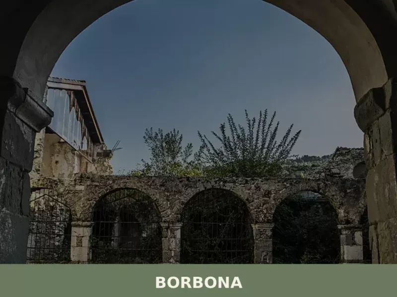
Borbona
What to see in Borbona: a mountain village at 760m in the province of Rieti with 643 residents. Discover the stone historic centre, 3 PAT products, and the 27 May patron feast.
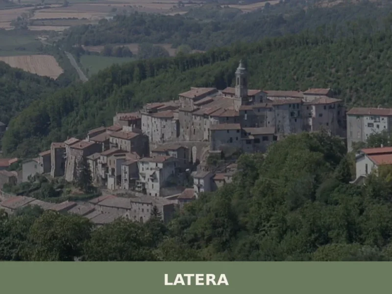
Latera
Latera has 766 inhabitants and sits on a tuff plateau at 508 metres above sea level, on the far northern edge of the province of Viterbo, close to the borders with Umbria and Tuscany. For centuries a fiefdom of the Farnese family, this small centre retains a compact Renaissance urban layout, with straight streets converging […]
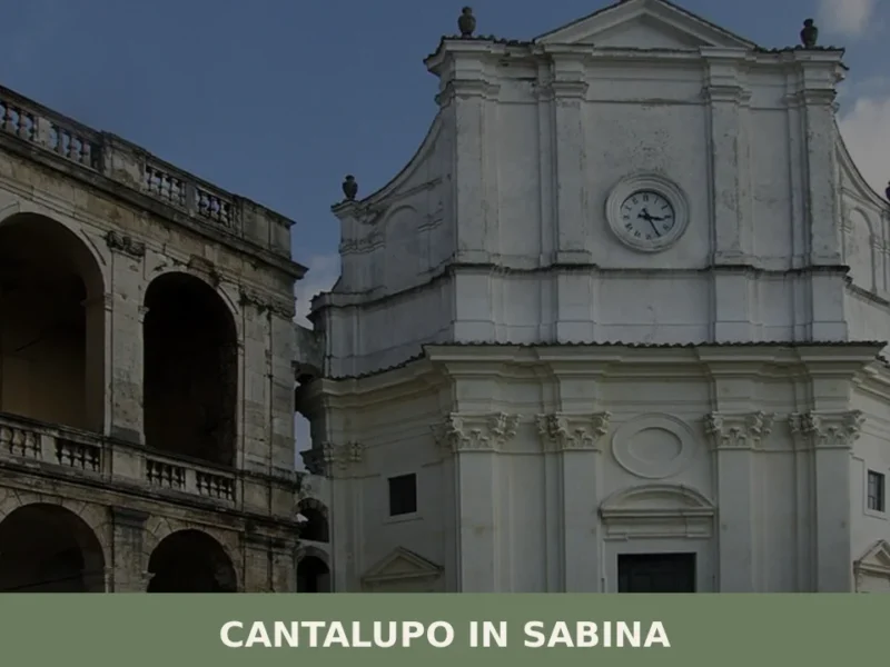
Cantalupo in Sabina
What to see in Cantalupo in Sabina: a hill village at 297 m in Rieti with 1,738 residents. Explore the medieval centre, the San Biagio feast and PAT-certified guanciale. Plan your visit now.
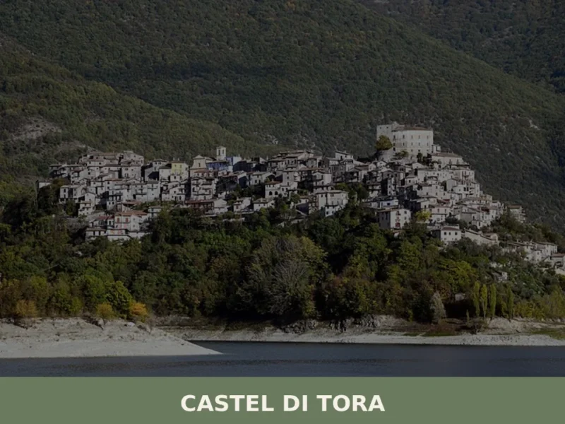
Castel di Tora
What to see in Castel di Tora: medieval village at 607 m above Lago del Salto, 292 residents, 3 PAT-certified products. Plan your visit with our complete guide.
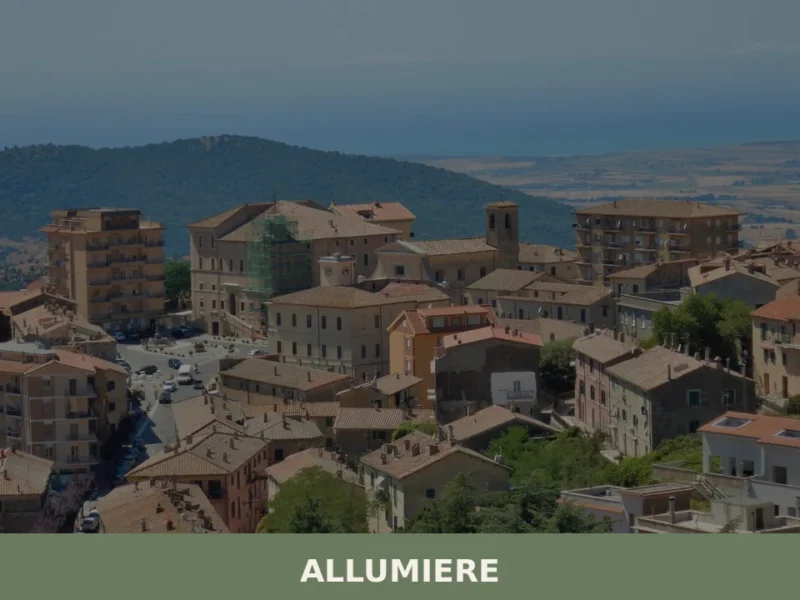
Allumiere
What to see in Allumiere, Lazio, Italy: explore the alunite mining history, Santa Maria Assunta church, and Borgo della Farnesiana. 4,146 inhabitants. Discover it now.
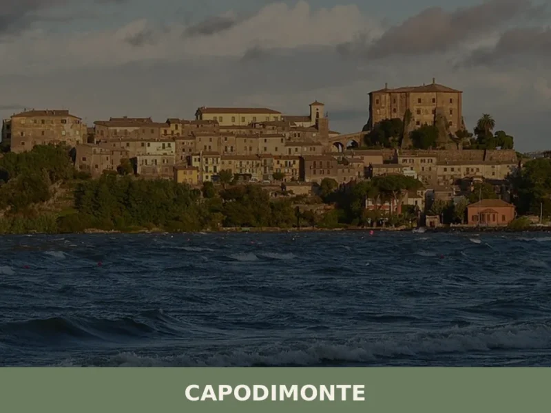
Capodimonte
What to see in Capodimonte, Italy: Discover this village of 1,667 inhabitants on Lake Bolsena's shore. Explore its unique headland and historic core. Read our guide!
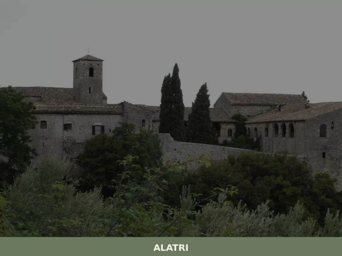
Alatri
Limestone blocks measuring up to 3 by 2 metres sit without mortar on the hill above the city, fitted so precisely that a knife blade cannot pass between them. The terrace walls of the acropolis rise to over 15 metres (49 ft), enclosing a rectangular plateau of 220 by 100 metres (720 by 330 ft). […]
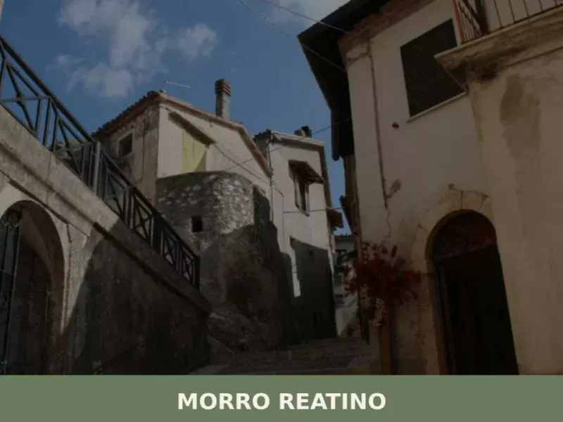
Morro Reatino
What to see in Morro Reatino: a village at 750 m in Rieti with 353 residents. Visit the medieval church of San Lorenzo, the historic centre, and discover PAT-certified guanciale amatriciano.
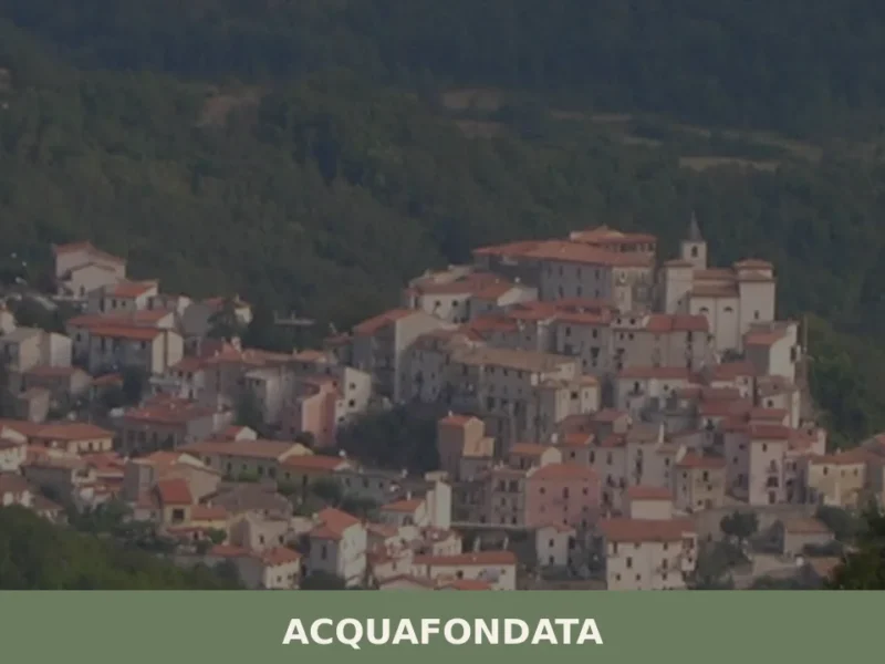
Acquafondata
What to see in Acquafondata: discover 5 attractions in this Lazio village, from historic churches to views over the Aurunci Mountains. Plan your visit.


🏡 Know Collepardo better than we do?
If you’re a local or have been there, your knowledge matters: add what’s missing or fix a detail on this page.