


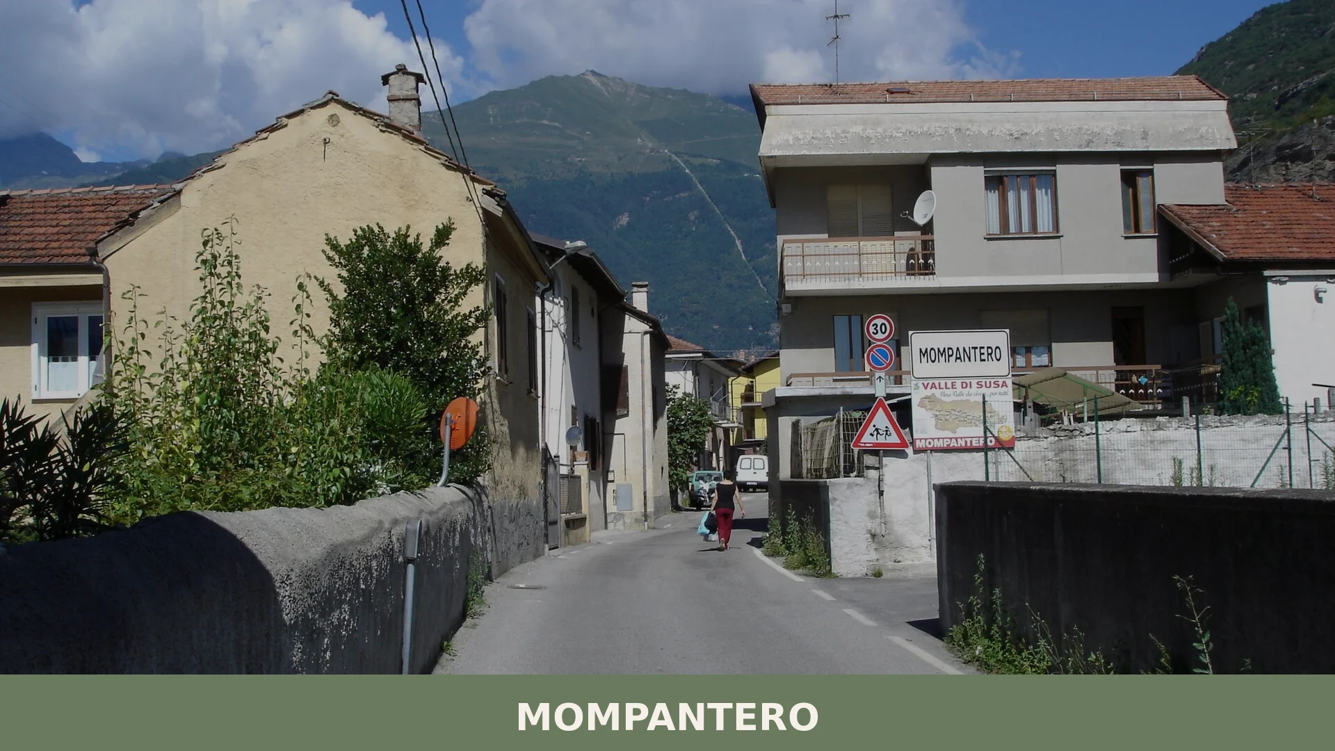
Mompantero
 Mountain
609 residents, thirty mountain hamlets and one of the Alps’ most singular winter festivals: Mompantero rewards visitors who come looking for the real Valle di Susa.
Mompantero: Stone Hamlets, Partisan Memory and the Rocciamelone
Stone hamlets scatter up a mountain flank above the torrente Cenischia, connected by a narrow road that turns and straightens through thirty borgate before reaching the open bowl beneath the Rocciamelone. In winter the upper hamlets stand empty. In summer the same houses fill again, the chapels are unlocked, and the paths between borgate carry walkers from one altitude to the next. This seasonal rhythm — contraction and expansion, silence and return — defines life here more than any single monument or event.
Mompantero village in Piedmont occupies 30.1 square kilometres in the Valle di Susa, province of Torino, with its municipal centre at 838 metres above sea level. Two draws bring visitors here: the ascent toward the Rocciamelone, the highest peak in the valley at approximately 838 metres, and a bear festival in Fraction Urbiano that has few close parallels anywhere in the alpine world. Together they frame a place that divides its identity between pilgrimage and memory, high-altitude wilderness and valley community.
Places and landscape
The Hamlets Along the Cenischia
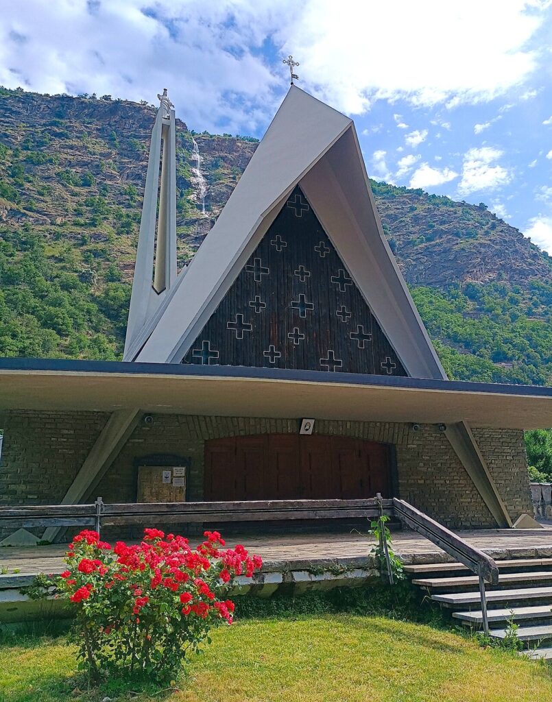
Several of Mompantero’s fractions line the left bank of the Cenischia torrent: San Giuseppe, Marzano, Trinità and Pietrastretta form a loose chain along the valley floor. Trinità holds the ruins of the casaforte, symbol of the municipality. Pietrastretta is the starting point for the mule track that climbs toward the Rocciamelone summit, and it is also home to the Santuario della Madonna del Rocciamelone, built in the second half of the twentieth century. On 5 August each year the sanctuary becomes the focus of celebrations in honour of the patron, the Madonna del Rocciamelone.
Urbiano and the Hamlets on the Mountain Slopes
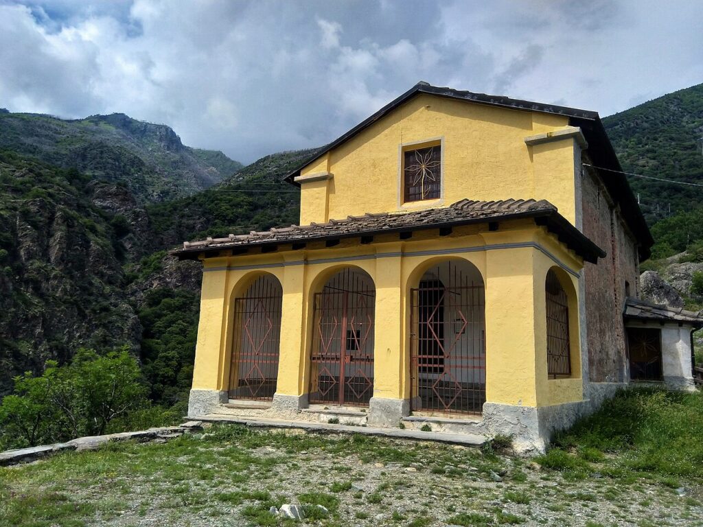
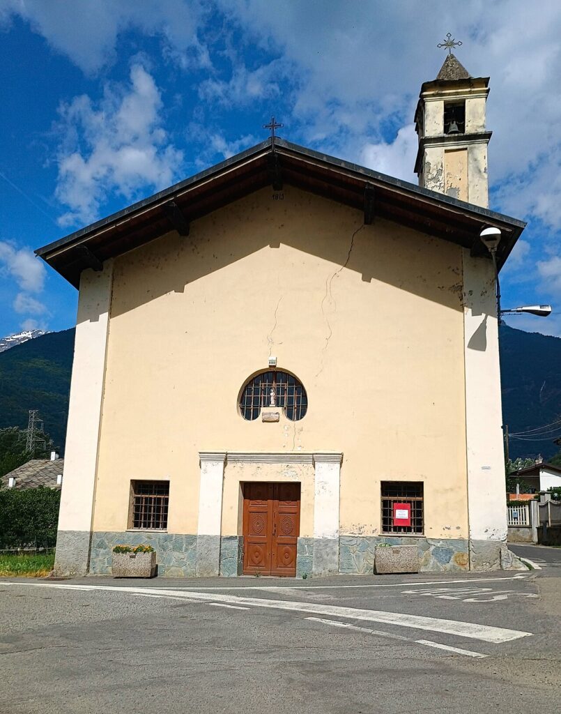
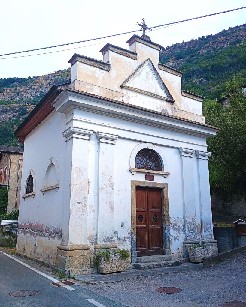
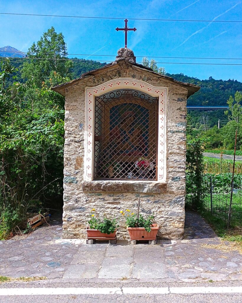
Higher up, the fractions of Urbiano and Seghino sit directly on the mountain flank, connected by a narrow road with long straights and hairpin bends that eventually reaches more than thirty dispersed hamlets. Among them, Braida stands out for the chapel it contains, whose interior frescoes are of exceptional quality. The hamlets of Tour, Trucco, Chiamberlando and Cugno all have small votive chapels and roadside shrines dating to the fifteenth and seventeenth centuries, evidence of how densely populated these upland settlements once were in the summer months.
The Museo della Resistenza
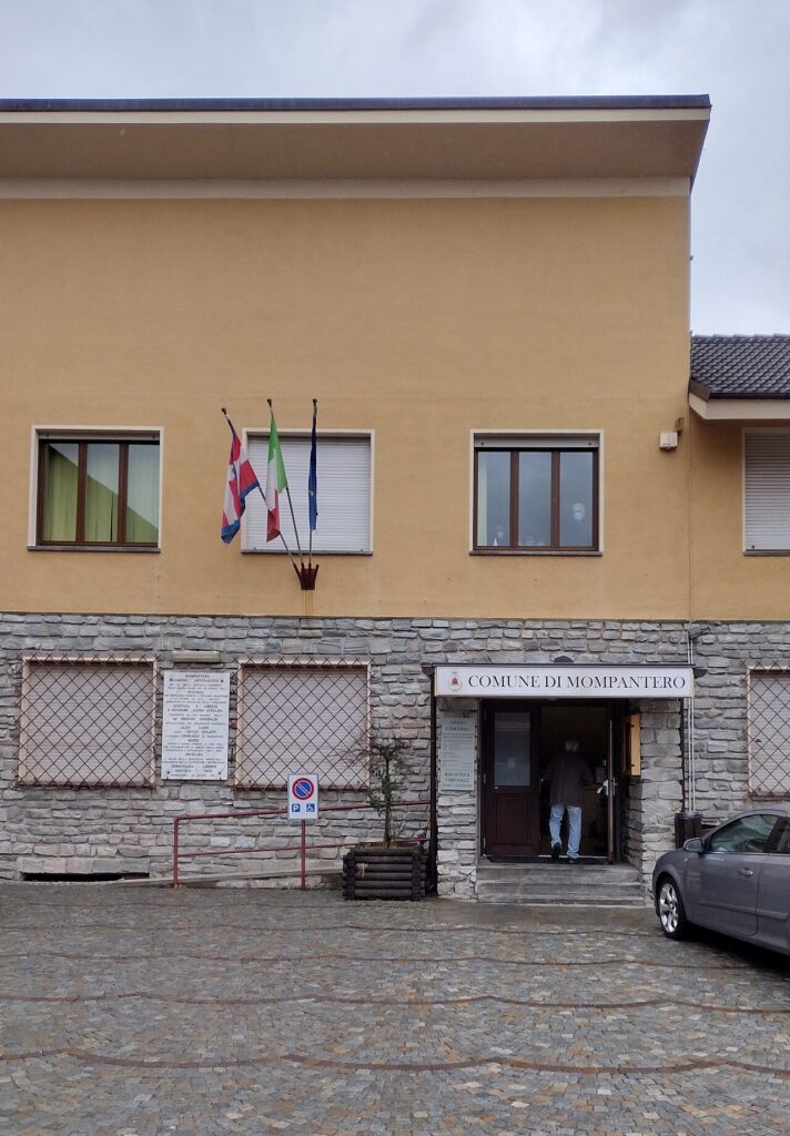
Located in the municipal building, the Museo della Resistenza is a direct product of personal memory. Former partisans began assembling its contents in 1993, donating photographs, handwritten documents, military maps and a number of period objects. The collection does not attempt the scale of a regional institution; instead it communicates the texture of individual experience — how ordinary young people from these mountains organised, fought and in some cases died for a political ideal. For visitors with an interest in twentieth-century Italian history, it is a sobering and genuinely informative stop.
Votive Chapels Across the Territory
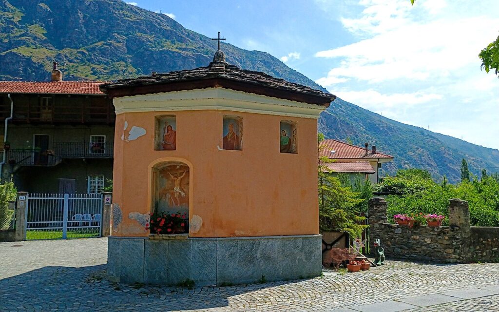
Scattered across Mompantero’s mountain zone, the named chapels include those dedicated to Santa Brigida, to the Madonna Addolorata, to the Immacolata Concezione, to San Giuseppe and to San Pietro. Many of these small structures date to the fifteenth or seventeenth century and several retain interior fresco cycles. They are not monuments in the institutional sense but functional parts of the landscape — way markers, devotional stopping points and physical records of the communities that once populated these slopes year-round rather than only in summer.
The Rocciamelone Summit and Its Pilgrimage Tradition
At approximately 838 metres, the Rocciamelone is the highest peak in the Valle di Susa and the dominant physical presence above Mompantero’s territory. The summit has been a site of pilgrimage for centuries: in 1358, Bonifacio Rotario d’Asti climbed to the top to fulfil a vow, carrying a bronze triptych depicting the Virgin and Child, which is now preserved in the Diocesan Museum of Susa. In 1899 Alpine troops carried a statue of the Madonna delle Nevi to the summit, where it remains. The ascent from Mompantero’s territory follows the same route that pilgrims and mountain runners use today.
According to a local proverb passed down through generations in Urbiano: if the bear dries out his straw on the day of the festival, winter will last another forty days; if the weather is poor, spring is near. The same logic, embedded in the Ballo dell’Orso, links weather reading, animal behaviour and the changing of seasons in a system older than any written record.
A Winter Festival Unlike Any Other, and the Flavours of the Valley
On the first weekend of February, the fraction of Urbiano hosts what the community regards as its defining annual event: the Ballo dell’Orso, or in the local Franco-Provençal dialect, Fora l’Ours — literally “Out with the Bear.” The festival centres on the figure of the bear, a character who is hunted, captured, tamed with red wine and finally made to dance with the most beautiful young woman of the village. The Saturday evening opens with a food and wine circuit through Urbiano’s lanes called Mingia e Beiva — roughly “eat and drink” — during which the hunters gather before setting out overnight. Sunday brings a religious service at the Cappella di Urbiano, dedicated to Santa Brigida, followed by the afternoon bear dance in the main square. The festival’s origins are genuinely uncertain: multiple traditions coexist, including a Celtic reading connecting the event to pre-Christian celebrations of the goddess Brigit, a Christian reading linking it to Candlemas and the blessing of candles, and a meteorological reading tied to the arrival of spring. In 2011, a formal body called the Comitato dei Cacciatori dell’Orso was established to safeguard the ritual and ensure the role of the hunter — who organises both the Sunday dance and the ceremonial dressing of the bear — passes reliably between generations.
The territory of Mompantero sits within a broader food culture shaped by the Valle di Susa and the wider Torino province. The area is associated with the Marrone della Valle di Susa, a chestnut recognised with IGP status, and with alpine herb products including herb-based liqueurs and spirits traditional to the Piemontese mountains. These are products of the valley as a whole rather than of this municipality alone, but they appear on tables throughout the area and form an honest starting point for any conversation about what grows and is gathered at altitude here.
Planning your visit and getting there
Mompantero can be reached easily from the lower Valle di Susa and the Turin area. The practical distances and journey times below are kept concise on purpose, so the access information stays clear and consistent.
| Departure | Distance | Time |
|---|---|---|
| Turin (city centre) | approx. 50 km | approx. 50 min |
| Susa (casello A32) | approx. 5 km | approx. 10 min |
| Turin Caselle Airport | approx. 70 km | approx. 60 min |
| Milano (centro) | approx. 170 km | approx. 2 hours |
These practical reference points are enough to plan the journey without overloading the text with unstable logistics. Once on site, the village is best understood slowly, on foot and in relation to the surrounding landscape.
Frequently asked questions about Mompantero
What is the best time to visit Mompantero?
Summer is ideal for visiting Mompantero. Many upper hamlets remain empty during winter, but from June onwards the stone houses fill again, chapels unlock, and mountain paths become accessible for hiking. The bear festival in Fraction Urbiano occurs during summer months. Autumn also offers pleasant conditions before winter snow closes higher elevations. Plan visits between May and October for optimal access to all areas.
How do I reach Mompantero from Turin?
Mompantero is located in the Susa Valley (Valle di Susa), province of Turin, Piedmont. From Turin, drive northwest toward the Susa Valley via the A32 motorway toward France, exiting toward Susa. Follow signs for Valle di Susa and Mompantero. The village sits at 838 metres elevation. Public transport options include regional trains to Susa station, then connecting bus services up the valley. Distance from Turin is approximately 60–70 kilometres.
What is the Rocciamelone and can I climb it from Mompantero?
Rocciamelone is the highest peak in the Susa Valley at 3,538 metres elevation and patron saint protector of Mompantero (Madonna del Rocciamelone). The ascent toward this mountain is one of the primary draws for visitors to the region. Mompantero serves as a base for accessing high-altitude trails leading toward the peak. Multiple documented alpine routes connect the valley hamlets to higher elevations, suitable for experienced mountain walkers and pilgrims.
What is the bear festival in Mompantero?
Mompantero hosts a distinctive bear festival in the Frazione Urbiano (Fraction Urbiano) that is rare within the alpine region. This cultural celebration has few close parallels elsewhere in the Alps. The festival reflects local heritage and valley traditions. Specific dates and event details require confirmation with Mompantero's municipal office or local tourism sources, as the festival represents an important seasonal gathering combining memory, community identity, and alpine culture.
How many hamlets make up Mompantero village?
Mompantero consists of thirty borgate (stone hamlets) scattered across a mountainside above the Cenischia torrent. These settlements are connected by a narrow winding road that climbs through multiple altitudes across the 30-square-kilometre municipal territory. The hamlets follow a seasonal rhythm: upper settlements stand largely empty in winter and repopulate in summer when residents return and mountain paths reopen for walking between villages.
📷 Photo Gallery — Mompantero
In Piedmont More villages to discover
Mathi
 Hills
Hills
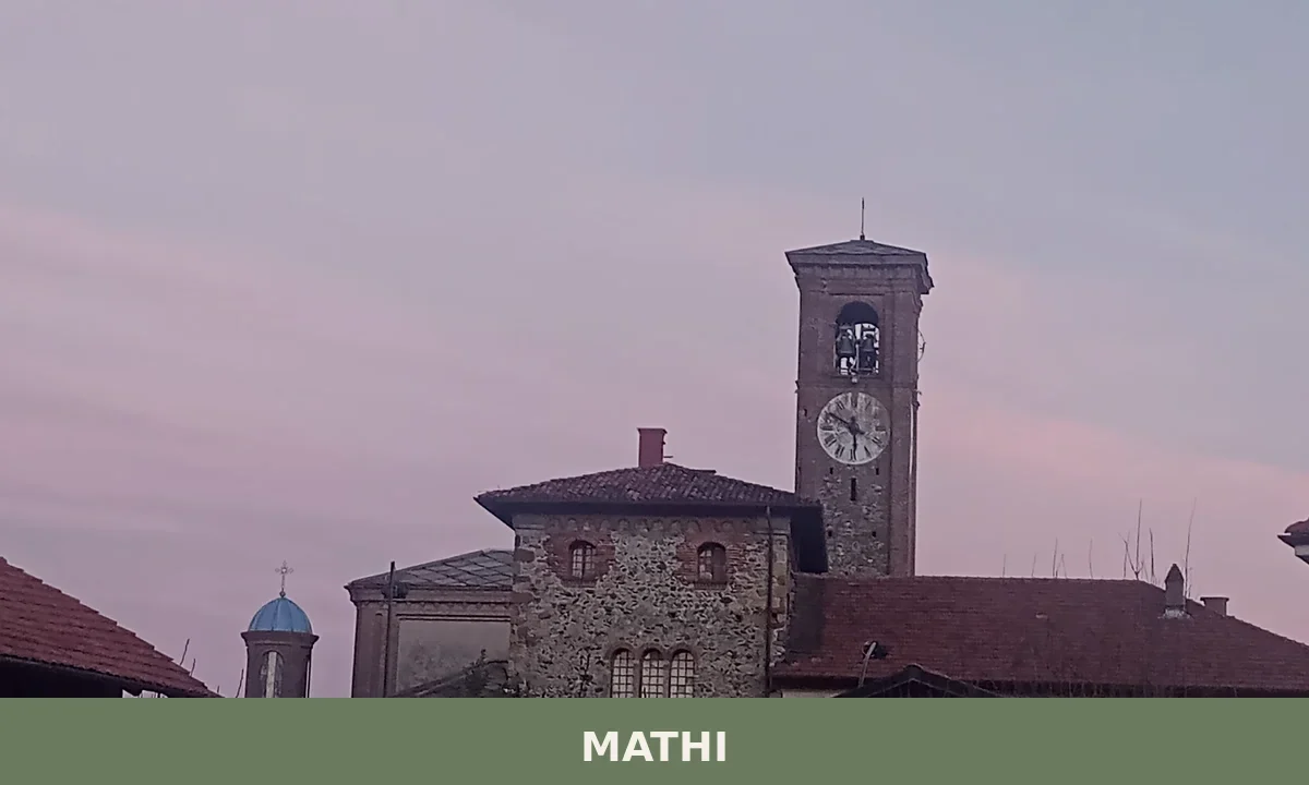
3,729 residents, a Benedictine tower still standing behind the parish church, and an industrial paper mill story linked to Don Giovanni Bosco. Mathi rewards those who look closely.
Pavarolo
Hills
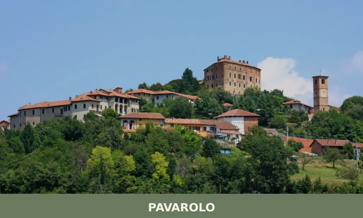
1,170 residents and centuries of documented history make Pavarolo a village where a medieval castle, Baroque church and the legacy of painter Felice Casorati reward a visit.
Lusernetta
Mountain
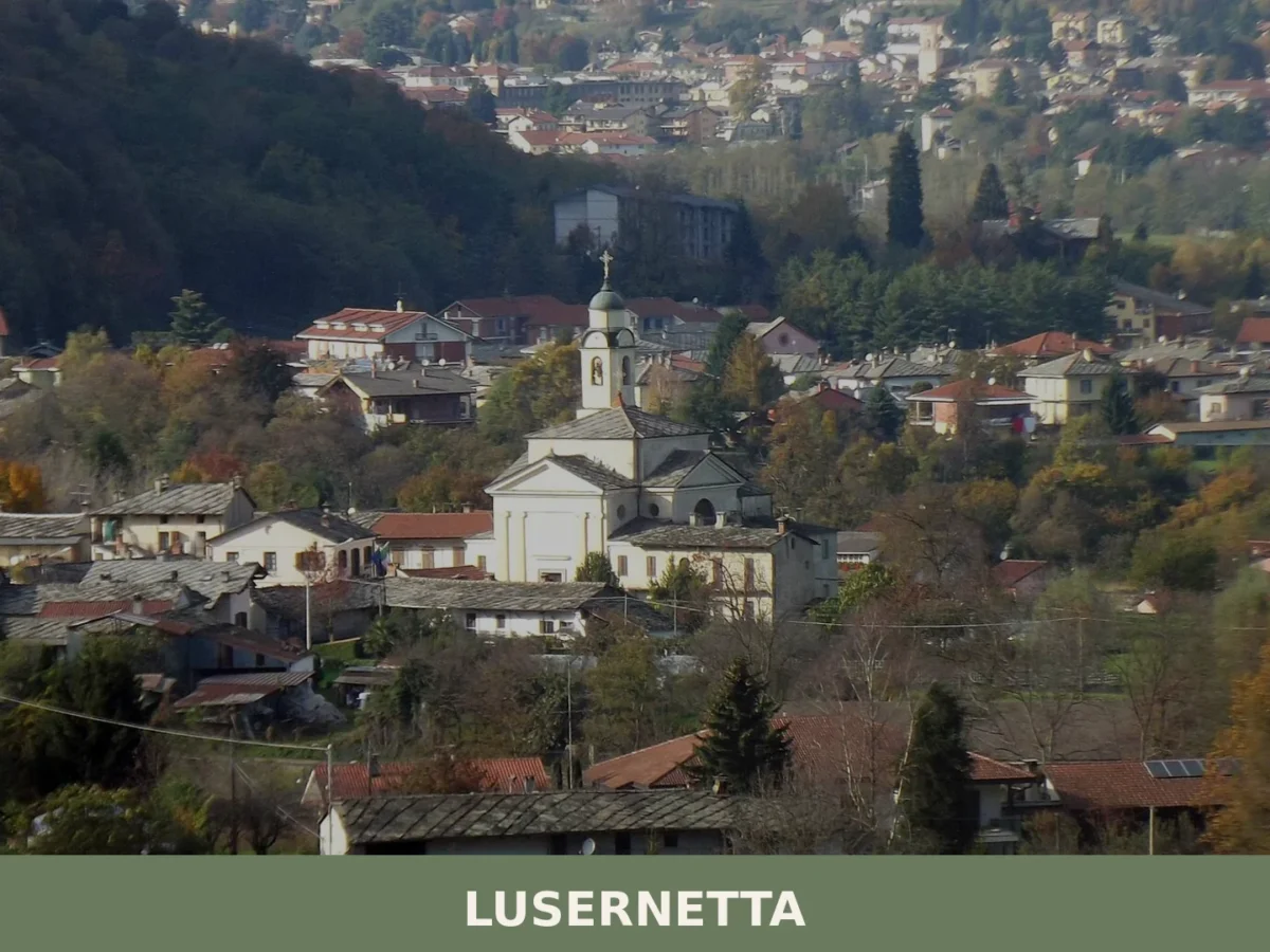
494 residents, one medieval chapel and a clear position on the right bank of the Pellice torrent. Lusernetta rewards visitors who look beyond the obvious Pinerolese routes.
Alpette
Mountain
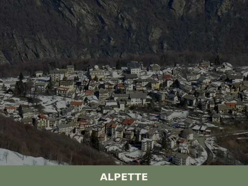
At 957 metres above sea level, on the eastern slope of Gran Paradiso, Alpette has 251 inhabitants spread between the central settlement and a handful of hamlets scattered along the pastures that climb towards Cima Quinzeina. Those looking into what to see in Alpette will find a village built almost entirely from local stone and […]
Airasca
Hills
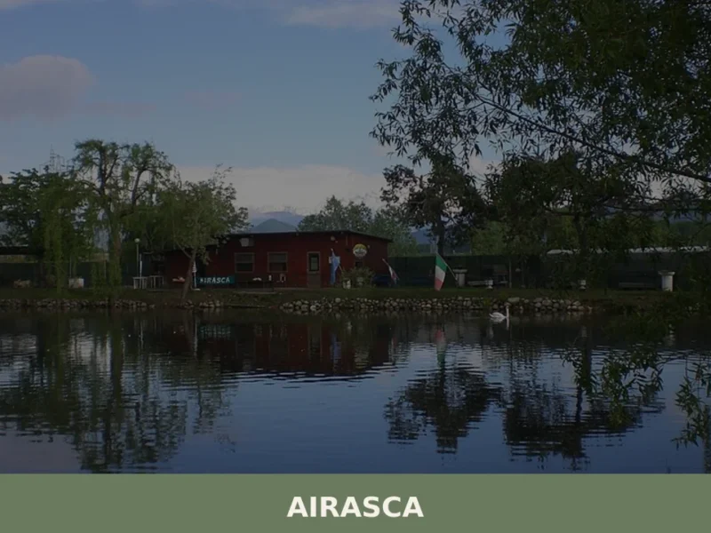
Arriving in Airasca along the provincial road that connects Pinerolo to Turin, the first thing you notice is the bell tower of the parish church of San Bartolomeo, a vertical landmark in a horizontal landscape of cultivated fields and rows of poplars. The municipality, home to 3,842 inhabitants at 257 metres above sea level, occupies […]
Arona
 Lake
Lake
 Plains
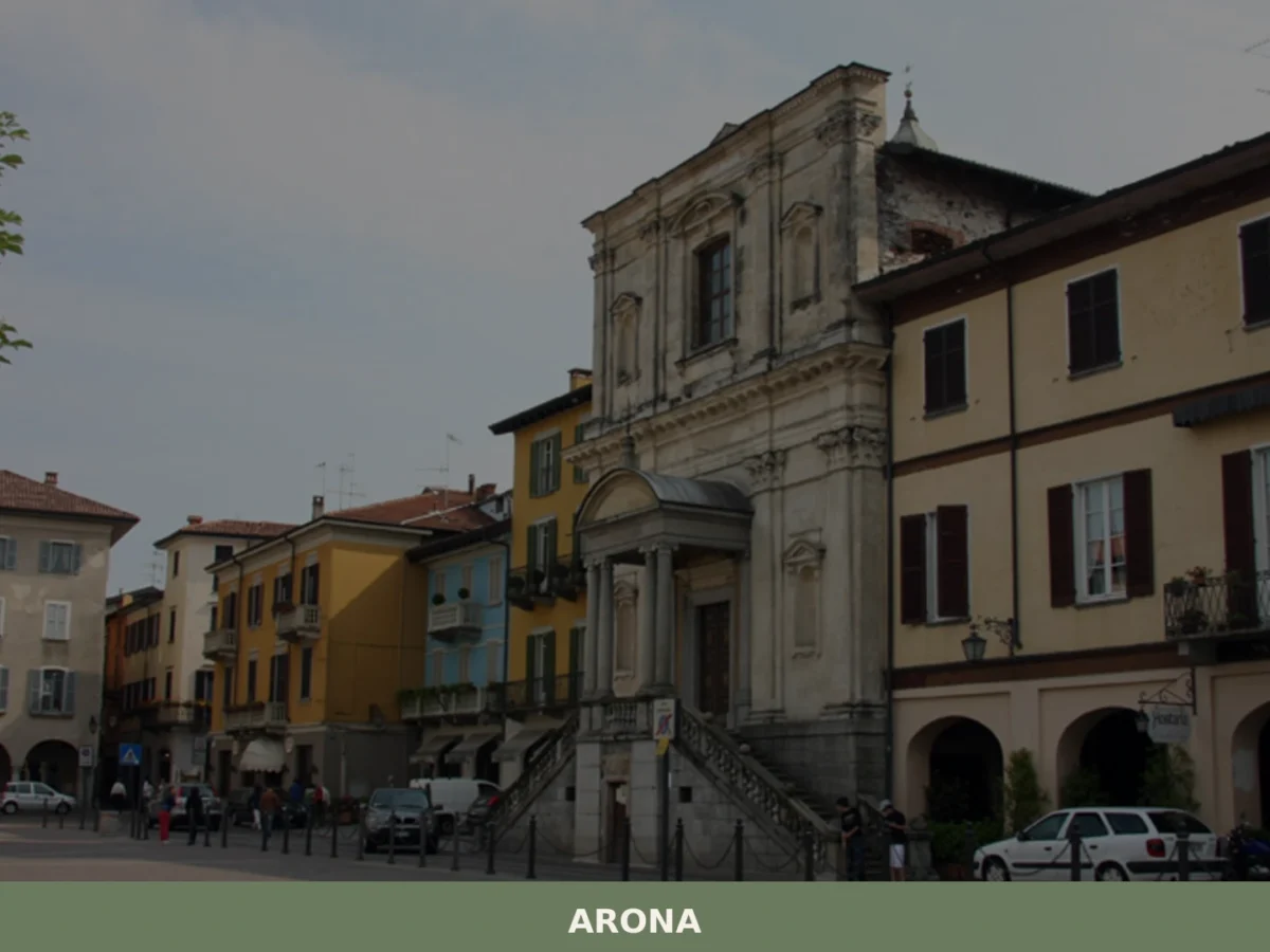
what to see in arona, Italy: Discover Arona, a town of 13,694 inhabitants in Piemonte, home to a notable railway station. Explore this region's travel tips.
Mombello di Torino
Mountain
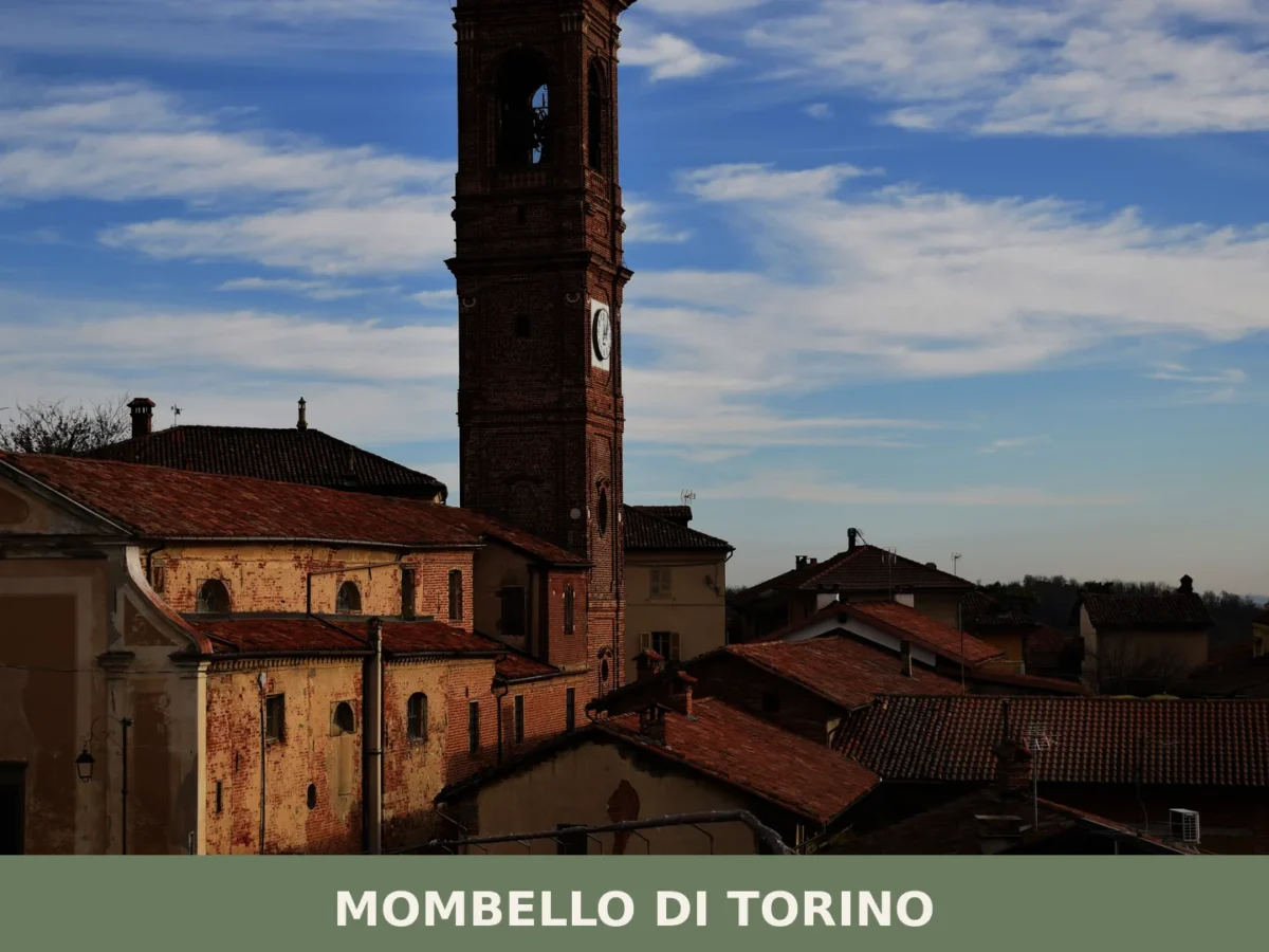
399 residents, three churches and eight centuries of documented history. Mombello di Torino rewards visitors drawn to genuine Piedmontese hill culture and Romanesque architecture.

Montà
Hills
4 distinct hamlets, one medieval castle and over 35 km of trails make Montà a rewarding base for exploring the Roero hills of Cuneo province.
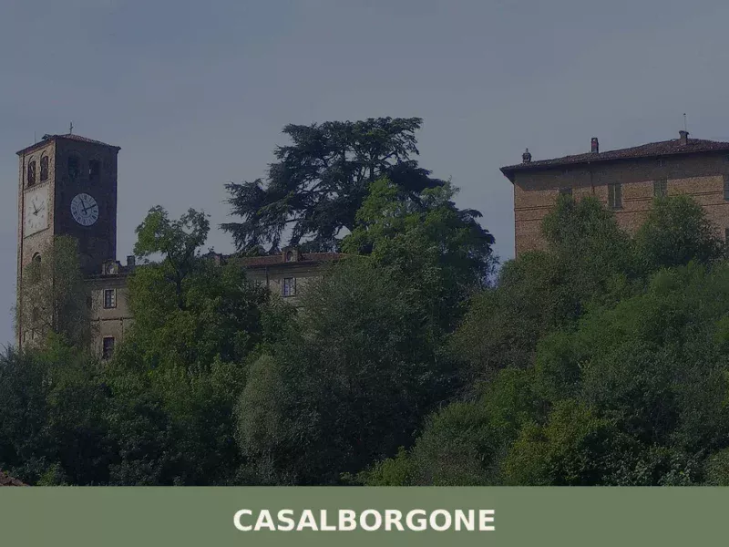
Casalborgone
Hills
Scopri Casalborgone, affascinante borgo storico del Piemonte: storia, tradizioni e paesaggi mozzafiato nel cuore del Monferrato.
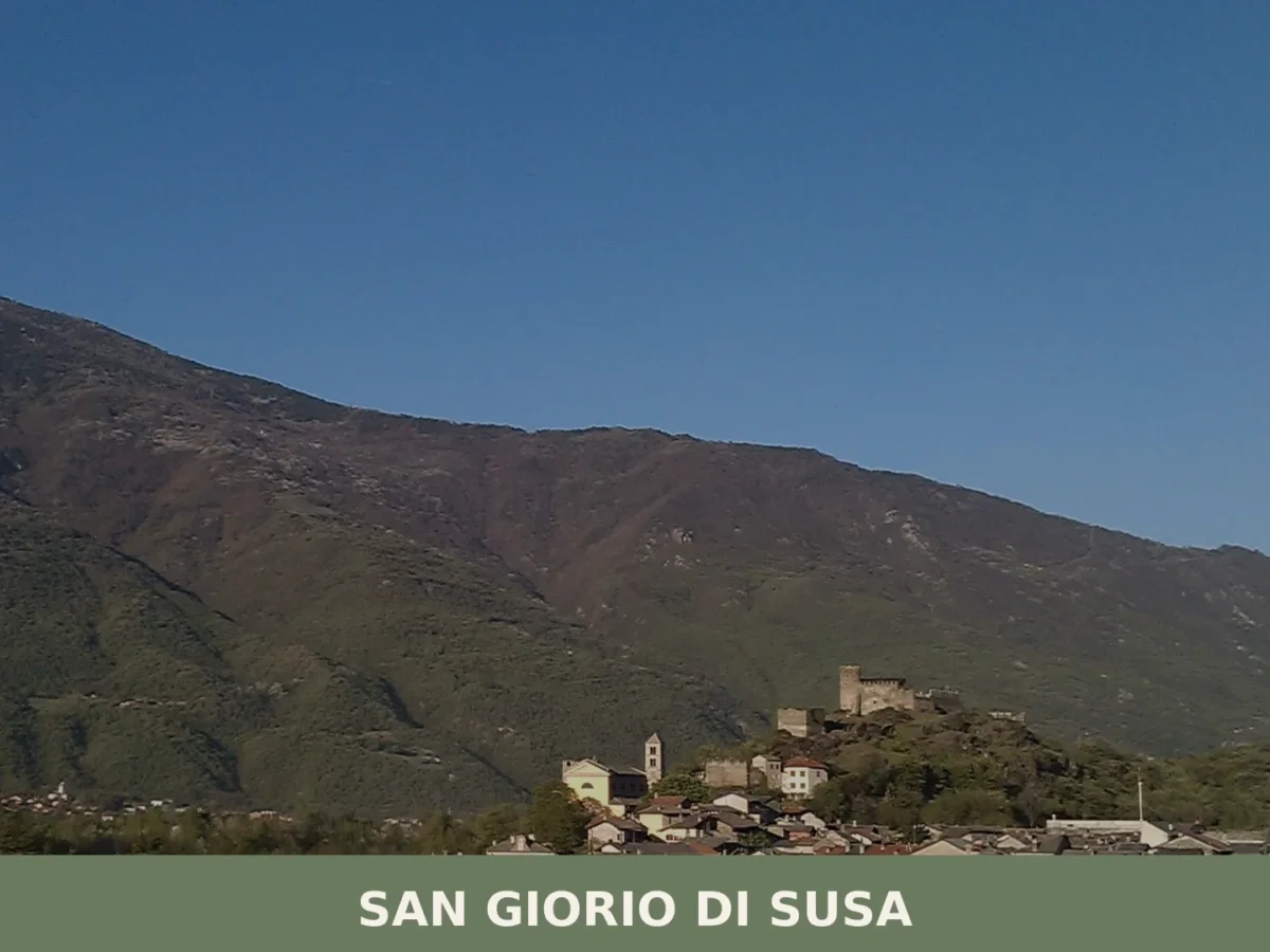
San Giorio di Susa
Mountain
Population 958. Medieval castle with franco-Piemontese frescoes of 1328, alpine hamlets up to 2,801 m, and a living tradition of medieval pageantry on the feast of San Giorgio.


🏡 Know Mompantero better than we do?
If you’re a local or have been there, your knowledge matters: add what’s missing or fix a detail on this page.