


Scalenghe
A comune of 3,195 residents where centuries-old churches meet a landscape shaped by cattle and grain. Medieval roots and modern farming define this territorial landmark.
Scalenghe: A Medieval Border Village in the Heart of Piedmont's Dairy Country
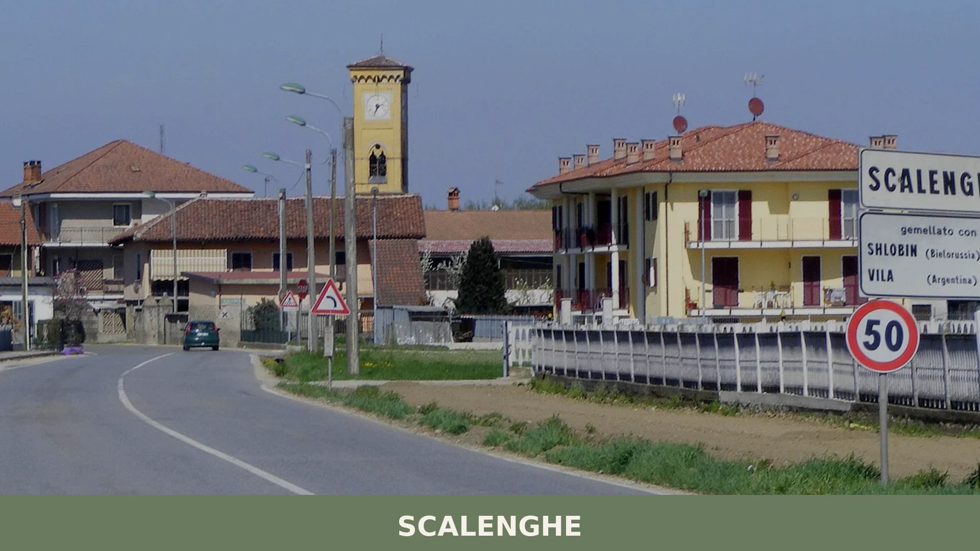
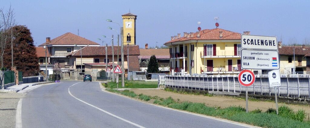
Scalenghe Village in Piedmont
The Torre Civica rises above the intersection of two provincial roads, its stone dark against the flat horizon of the Basso Pinerolese. Once a watchtower with a drawbridge, this structure anchors the capoluogo—the main settlement of Scalenghe—where the rhythm of daily life still turns on agriculture, cattle, and the quiet continuity of a rural comune that has occupied this borderland for nearly a thousand years.
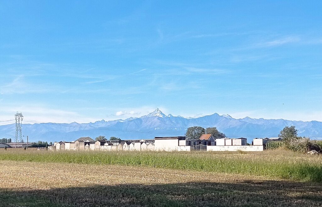
Scalenghe village in Piedmont spreads across five distinct hamlets within the Turin metropolitan area, roughly 30 kilometers southwest of the city and 15 kilometers from Pinerolo. The landscape here is alluvial plain: corn and wheat fields, over 3,000 dairy cows producing more than 230,000 quintals annually, and a web of small family farms that sustain the local identity. Visitors come to explore the Gothic church of Santa Caterina, the private cemetery founded in 1843, and the fractured but coherent story of a village that was once strategic enough to host treaty signings between the House of Savoy and the French.
Origins and Medieval Identity
Scalenghe first appears in written record in 1037, in the founding charter of the Abbey of Cavour drafted by Bishop Landolfo of Turin. The name itself carries Germanic roots tied to a Lombard settlement, and its meaning—”the last step before the Langhe”—reflects the territorial importance the village held as a frontier zone. Across the following three centuries, the name mutated through numerous documented variants: Scelenga, Schelenga, Scalingiis, Scalengis, Skalengiarum and others, tracing linguistic shifts that mirror the region’s shifting political boundaries.
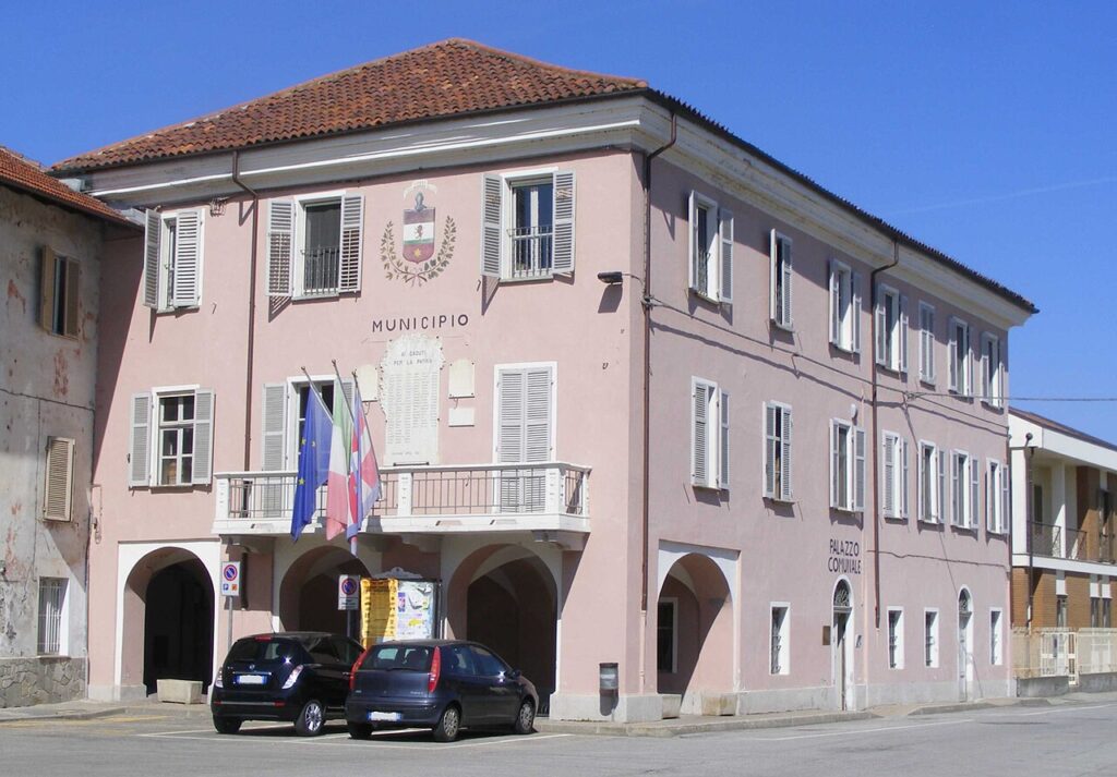
During the French occupation of Pinerolo in the early modern period, Scalenghe remained a land of borders and negotiation. Treaties between the Savoy princes and French forces were signed here, making the village a stage for dynastic diplomacy. This strategic character would eventually fade as larger powers reshaped the region, but the memory of it lived on in the village’s identity. The municipal coat of arms was officially recognized on 16 February 1943, and the municipal banner was granted by presidential decree in 2008, formal acknowledgments of an identity that had already endured for nearly ten centuries.
Churches and Sacred Monuments
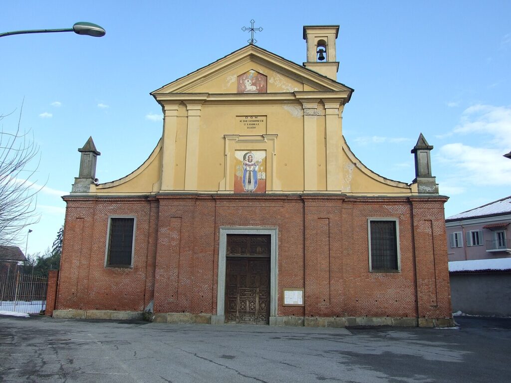
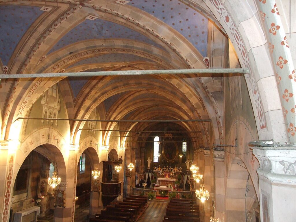
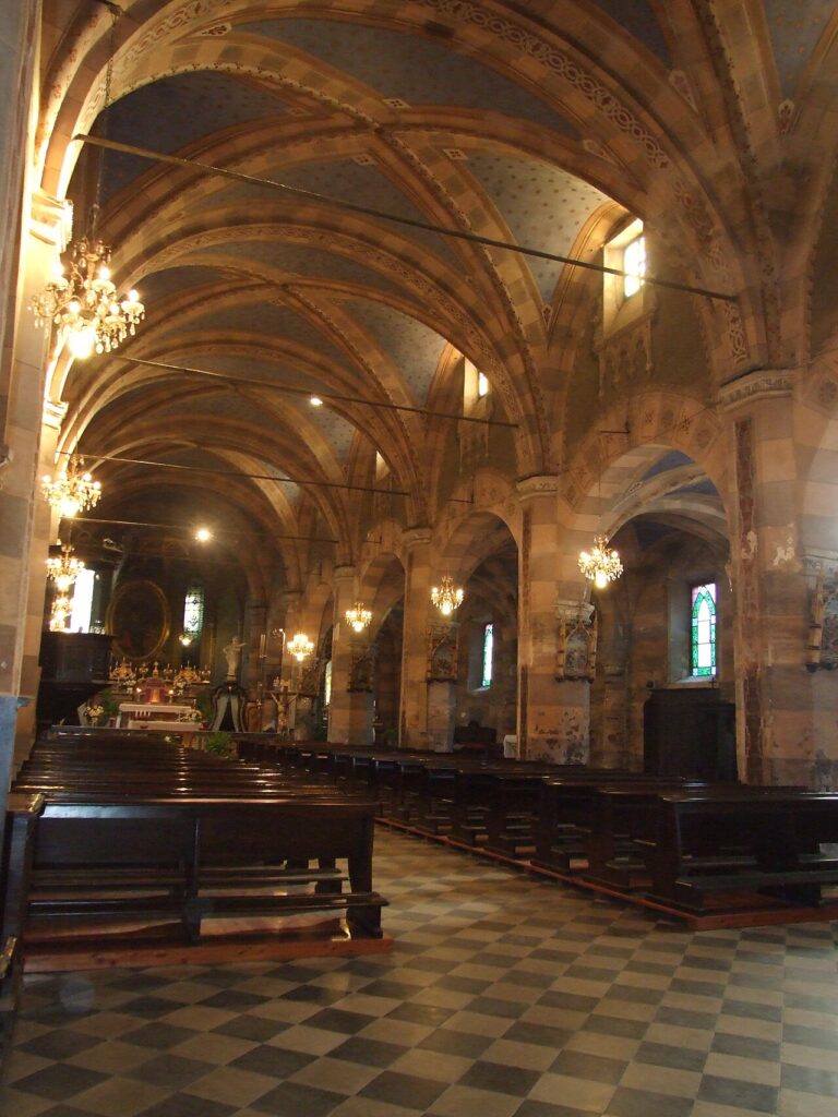
Chiesa di Santa Caterina
The main parish church rises as a Gothic structure from 1519, built beyond the original defensive walls. Its most striking feature is the Torre Civica, which stands as a free-standing civic structure at the intersection of two provincial roads, though it was radically rebuilt in the 19th century and now serves as the church’s bell tower. The tower displays both Gothic elements in its older sections and neogothic additions from the Ottocento, creating a visual chronicle of renovations. A fresco of the municipal coat of arms adorns the tower; when rain washes across it, a hidden image of Saint Catherine emerges from beneath—a detail that locals have long recognized as a minor marvel of the stonework.
Chiesa di Santa Maria Assunta
Situated in the frazione Pieve about one kilometer north of the capoluogo, this church was designed by architect G. Giacomo Plantery in 1733. Its foundations, however, rest on far older ground: a pieve dating to the fifth century stands beneath it, a reminder that Christian worship in this location extends back since the fifth century. The church represents a layering of time—Renaissance piety built on late-antique sacred ground—and marks one of Scalenghe’s most historically dense locations.
Chiesa della Beata Vergine del Buon Rimedio
This 18th-century church stands in the frazione Viotto, roughly six kilometers northwest of the main settlement. Its construction benefited from the dedication of local inhabitants, including the Molinero family, whose contributions helped bring the building to completion. The church reflects the small-scale yet determined piety of an agricultural community, where even modest hamlets maintained their own sacred spaces.
Other Churches and the Unique Cemetery
The frazione Murisenghi holds the Chiesa di San Maurizio, while the borgata Bicocca shelters the Chiesa di Sant’Anna. More remarkably, Scalenghe is home to Italy’s only private cemetery, founded in 1843 by agreement among the inhabitants of Pieve, Viotto and Murisenghi—a collective decision that allowed these three communities to establish a burial ground outside the ecclesiastical parish structure, an exceptional arrangement in Italian law.
Territory and Landscape
The comune sits at 262 meters above sea level within the alluvial plain of the Lower Pinerolese, approximately ten kilometers in a straight line from the first foothills of the Cozie Alps. While no significant waterway runs through the municipal territory itself, the surrounding landscape is fed by nearby torrents—the Lemina, Pellice, Chisone and Chisola—creating a zone rich in water and suited to intensive agriculture.
The settlement pattern reflects strategic thinking. The capoluogo developed at the intersection of provincial roads 139 and 146, the main routes south toward Pinerolo and west toward the alpine passes. The frazione Pieve lies just north along road 139, now connected by the converted rail line from the old Airasca–Saluzzo railway, which operated between 1884 and 1986 before being repurposed as a cycling path. Viotto sits six kilometers to the northwest at the junction of roads 23 and 146, while Murisenghi occupies a similar distance to the northwest, near the boundaries with Buriasco. Nearby comuni within Turin province include Airasca, Castagnole Piemonte, Cercenasco, Vigone, Virle Piemonte and Piscina.
“The last step before the Langhe”—so the name Scalenghe was understood, marking a village of thresholds and borders, where strategic position was written into the landscape itself.
Agriculture, Dairy and Local Economy
The economic heartbeat of Scalenghe is dairy farming. Over 3,000 milk cows are raised within the comune by roughly twenty agricultural enterprises, producing more than 230,000 quintals of milk annually. This concentration of cattle and cooperative infrastructure has made the village a minor dairy hub within the Turin province, its identity as much defined by the sound of milking parlors and the smell of silage as by its medieval stones. The Fiera lattiero-casearia “LATTEforMAGGIO” celebrates this heritage with a regular fair dedicated to milk-based products and local cheesemaking traditions.
Beyond dairy, the territory supports extensive cultivation of corn and wheat, crops that blanket the plain each season. The Salumificio Raspini S.p.A., a cured-meat producer, represents the processing industries that add value to the region’s agricultural output. Small and medium-sized craft businesses, commercial enterprises and light manufacturing facilities cluster along the historic SS23 in the Botteghe zone, diversifying the local economy without displacing its agricultural core. This mixture—traditional farming, dairy production, processing, and small manufacture—gives Scalenghe its contemporary character as a working rural comune rather than a heritage museum.
Visiting Scalenghe
The village is most accessible by car. From Turin, take the provincial roads heading southwest toward Pinerolo; Scalenghe sits roughly midway between the two cities. The landscape is open and flat, making for easy driving, though the roads are regional rather than motorway standard. If you arrive by train, the nearest major station is at Pinerolo, from which local buses serve the Basso Pinerolese. The converted cycling path along the old Airasca–Saluzzo rail line, now called the Pista Ciclabile Airasca-Villafranca (via delle Risorgive), offers a scenic route for cyclists exploring the rural communes around Scalenghe.
| Departure | Distance | Driving Time |
|---|---|---|
| Turin (city center) | ~30 km | 40–50 minutes |
| Pinerolo | ~15 km | 20–25 minutes |
| Airasca (nearby comune) | ~8 km | 12–15 minutes |
Spring and early autumn are ideal seasons: the dairy farms are in full operation, the fairs and local festivals often align with harvest rhythms, and the flat landscape is neither too hot nor waterlogged. The village has modest but functional accommodation and dining options; plan to visit during daylight hours and allow a full morning or afternoon to walk through the hamlets, visit the churches, and absorb the working-farm atmosphere that defines local life. A cycling route linking Scalenghe with neighboring Airasca and other Pinerolese villages is feasible for those with intermediate fitness. Information and up-to-date details on local events are available through the official comune website.
Frequently asked questions about Scalenghe
How do I reach Scalenghe from Turin?
Scalenghe is located approximately 30 kilometers southwest of Turin in the Turin metropolitan area. By car, take the Turin–Pinerolo road toward Pinerolo, roughly 15 kilometers away. The village sits at the intersection of two provincial roads in the Basso Pinerolese region. Public transport options include regional buses serving the Turin–Pinerolo corridor. The nearest railway station is Pinerolo, from which local buses connect to Scalenghe.
What is the patron saint of Scalenghe and when is the feast celebrated?
Scalenghe's patron saint is Corpi Santi (Holy Bodies). While the specific feast date is not documented in primary sources, the celebration typically occurs within the liturgical calendar. Visitors interested in attending local religious festivities should contact the municipality of Scalenghe directly for current celebration dates and times.
What is the best time to visit Scalenghe?
The Basso Pinerolese region experiences a temperate continental climate typical of Piedmont's lowlands. Spring (April–May) and autumn (September–October) offer pleasant weather ideal for exploring the agricultural landscape and visiting the Gothic church of Santa Caterina. Summer is warm; winter can be cold and damp. Check with local tourism offices for seasonal events and the patron saint feast dates.
How long should I plan to spend visiting Scalenghe?
A typical visit to Scalenghe village lasts 2–4 hours. This allows time to view the Torre Civica, explore the Gothic church of Santa Caterina, and walk through the historic main settlement. To experience the surrounding agricultural landscape and dairy farming culture more deeply, plan a half-day excursion. The village's five distinct hamlets can be explored at a leisurely pace over a full day.
Are there agritourism accommodations or farms to visit in Scalenghe?
Scalenghe is a working agricultural community with over 3,000 dairy cows and numerous family farms producing regional dairy products. While the article confirms the presence of agriturismos and rural hospitality, specific names, contact details, and facilities require verification through the Turin provincial tourism office or Scalenghe municipality. Direct inquiries will provide current availability and booking information.
📷 Photo Gallery — Scalenghe
In Piedmont More villages to discover
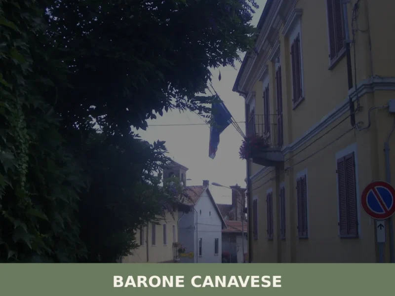
Barone Canavese
Barone Canavese has 554 inhabitants and sits at 325 metres above sea level, on the hills of eastern Canavese in the province of Turin. Those wondering what to see in Barone Canavese will find a small municipality set within a well-defined hill landscape, notable for its historic religious buildings and a road network connecting the […]
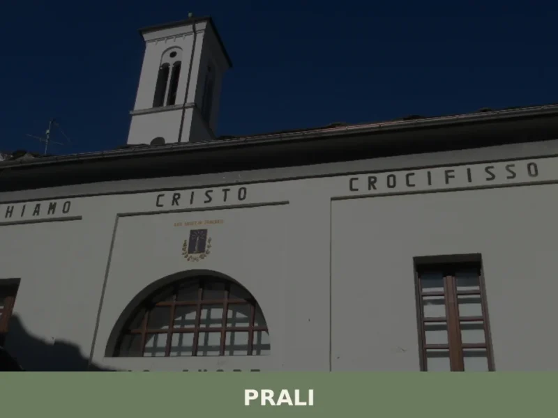
Prali
Prali sits at roughly 1,400 metres above sea level in the Germanasca Valley, one of the Waldensian Valleys of the Piedmontese Alps, about 72 kilometres south-west of Turin. With a registered population of 252 inhabitants, it is one of the smaller comuni in the Metropolitan City of Turin — and until 1937 it was officially […]

Rivara
A comune of 2,456 inhabitants north of Turin, Rivara preserves two castle complexes and Villa Ogliani, birthplace of the Scuola di Rivara artistic movement.
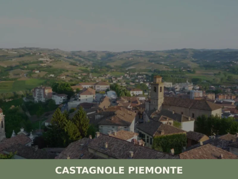
Castagnole Piemonte
What to see in Castagnole Piemonte, Italy — 20 km from Turin. Explore 5 top attractions, local food traditions and practical travel tips. Discover Piemonte.
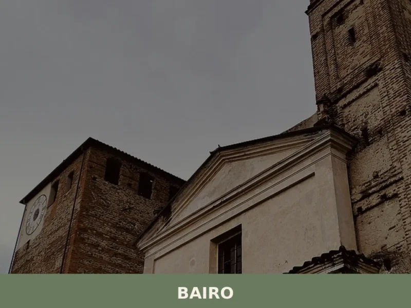
Bairo
The earliest confirmed record of Bairo dates to a document from 1003, when Marquess Arduino of Ivrea — who would shortly become King of Italy — confirmed landholdings in this portion of the Canavese between the moraine ridge and the foothills of the Graian Alps. Today the municipality has 806 inhabitants, spread across the historic […]
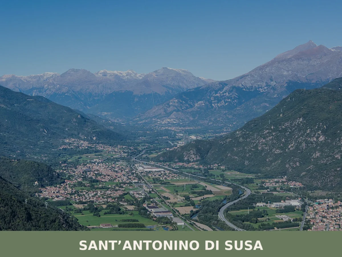
Sant’Antonino di Susa
Sant'Antonino di Susa (population 4,074) occupies the right bank of the Dora Riparia at 380 metres. Medieval churches, partisan memory and the echoes of early industrial labour define this Piedmontese comune.
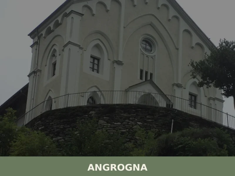
Angrogna
What to see in Angrogna: Chanforan, the Ghieisa d'la Tana, Waldensian trails, historic hamlets and mountain cuisine. A complete guide to the village.
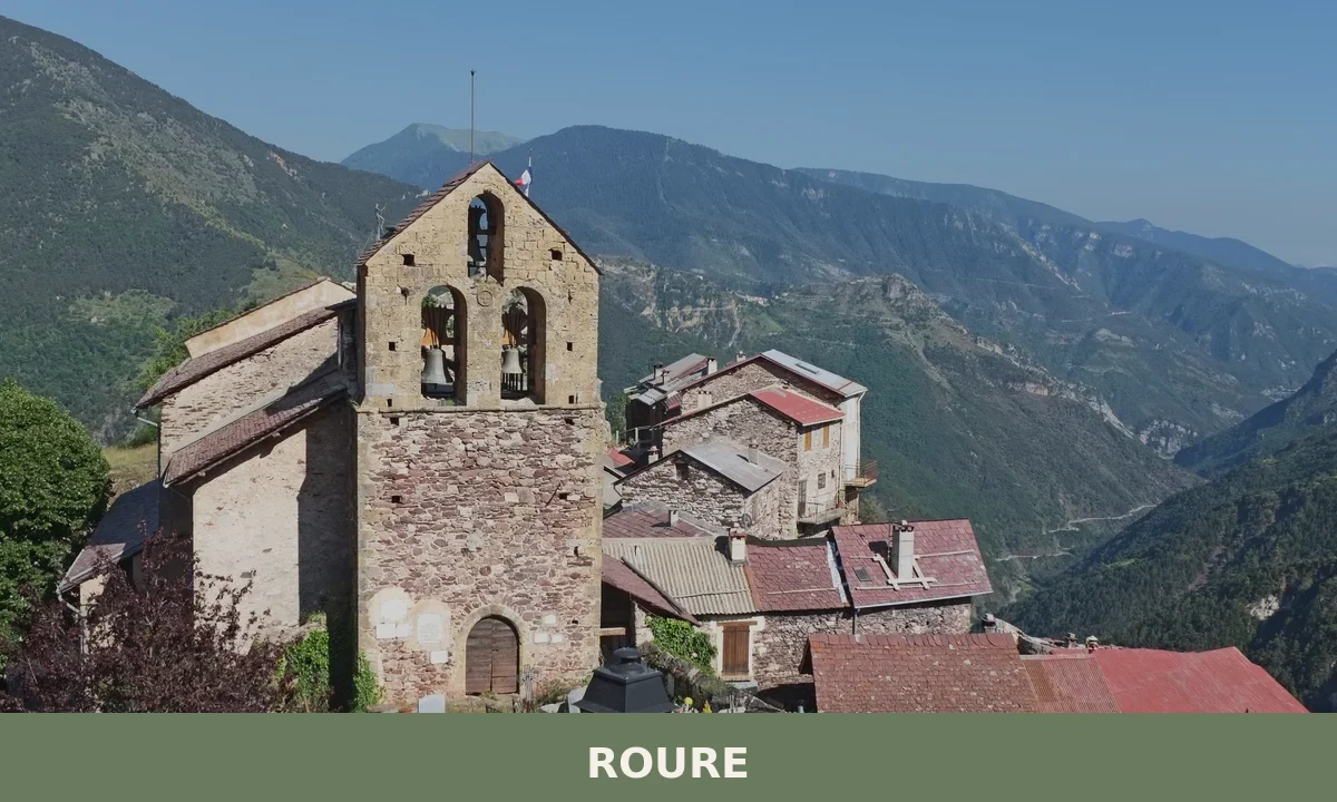
Roure
A dispersed mountain commune of 752 residents in Turin province. Stone hamlets linked by valley pathways, climbing crags and 2000-metre drops into wilderness.
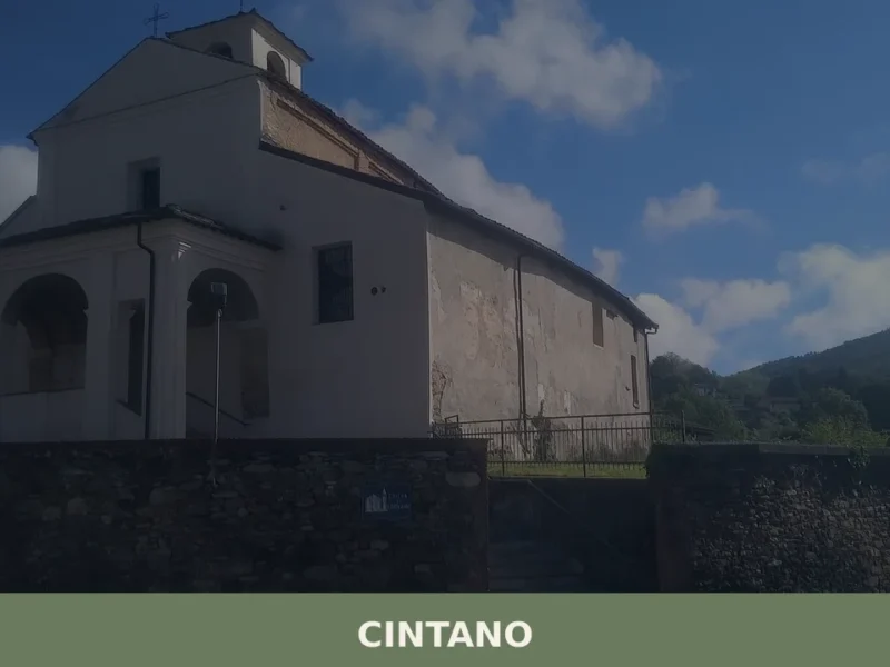
Cintano
Scopri Cintano, un affascinante borgo del Piemonte ricco di storia, natura e tradizioni. Lasciati conquistare dalla sua bellezza autentica!
Airasca
Arriving in Airasca along the provincial road that connects Pinerolo to Turin, the first thing you notice is the bell tower of the parish church of San Bartolomeo, a vertical landmark in a horizontal landscape of cultivated fields and rows of poplars. The municipality, home to 3,842 inhabitants at 257 metres above sea level, occupies […]


🏡 Know Scalenghe better than we do?
If you’re a local or have been there, your knowledge matters: add what’s missing or fix a detail on this page.